Overall mostly cloudy skies, few brief morning showers. Today will be the first day since Nov 6th(142days if my math is correct) that Bittinger 2nw Valley failed to fall below 40°. High likelihood some of the snow covered pockets did yet.
Temp profile this afternoon
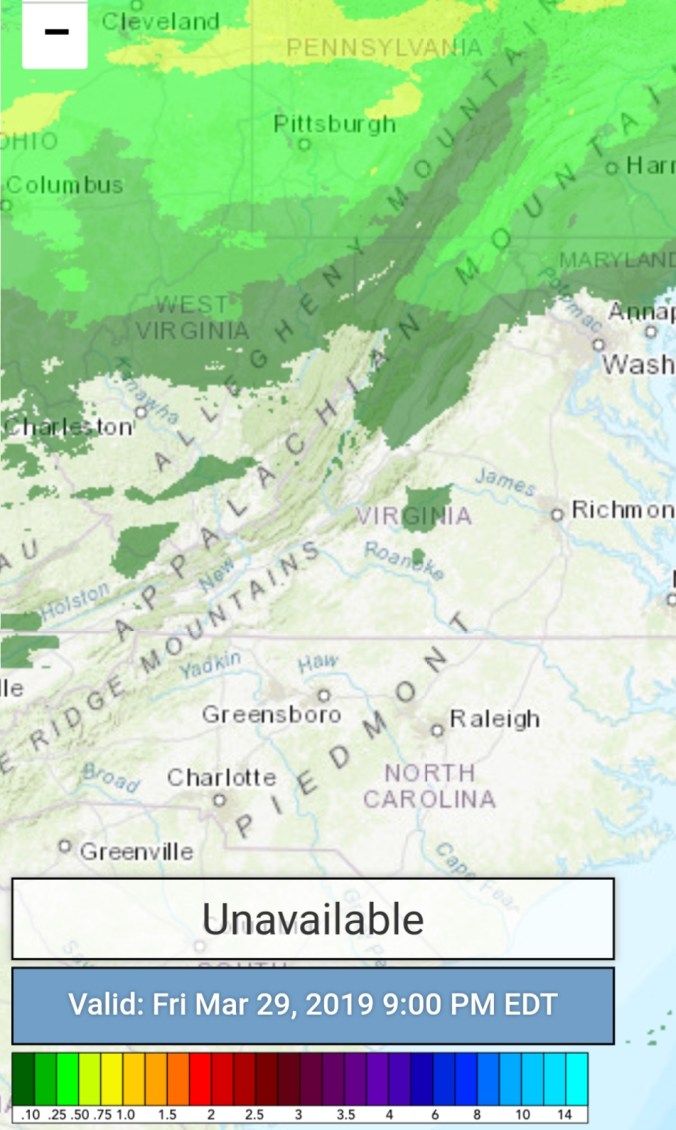
Radar with 9pm to 9pm estimates
Satellite
Flow
Surface features and 500mb height anomalies and flow
after the rain ended early last night…radar void of precip. NOT to be left out, few flakes reported yesterday, and early overnight. I personally didn’t witness it.
Satellite
Flow
Surface features and 500mb heights anomalies and flow
Clouds and a early flake or 2. Windy. A good drifting event as seen from pics Turned into a mostly sunny day. Open areas melted down, north facing and shaded areas did not.
Temp profile this afternoon
Radar- I circled in the northern Garrett area in the Bittinger 2nw Valley area that repeatedly got the heavy periods last night 7pm to 12am.
Snowfall- Bittinger 2nw Valley 3/23/19 7am. Picked up 2.5″ overnight. This occured mainly between 7pm and 12am. Repeated rounds of heavy snow, whiteouts at times. Strong winds. This on top the 2.1 through 6pm last night that had the rapid 1.5 yesterday from 1:15-2pm (no boardsweep, only checking the rate) another .6 through 6pm. At 10am before I left I did a few overall depth checks on ground and multiple snow boards. The ground gave a touch more, but uniform and close to the nearly equal 4.3″ on the multiple snowboards. The 2.1, and 2.5″ had one board sweep at 6pm last night. Being a sheltered location, no snow blew away or in and settling is reduced. This amount is a touch higher than local amounts, but radar and photos of snow and drifting help verify the 4.6″ overall total.
Satellite (snowfall visible today. And look at that area that was circled on the radar. Near Bittinger 2nw Valley. Showing up well on Satellite)
Flow
Surface features and 500mb heights anomalies and flow
Light freezing rain last night to spotty light snow, graupel, and periods of nothing in the morning. Then heavy period of snow. A rapid 1.5″. On and off snowshowers through evening and more consistent after nightfall. Also to note, some thunder snow occured.
Temp profile this afternoon
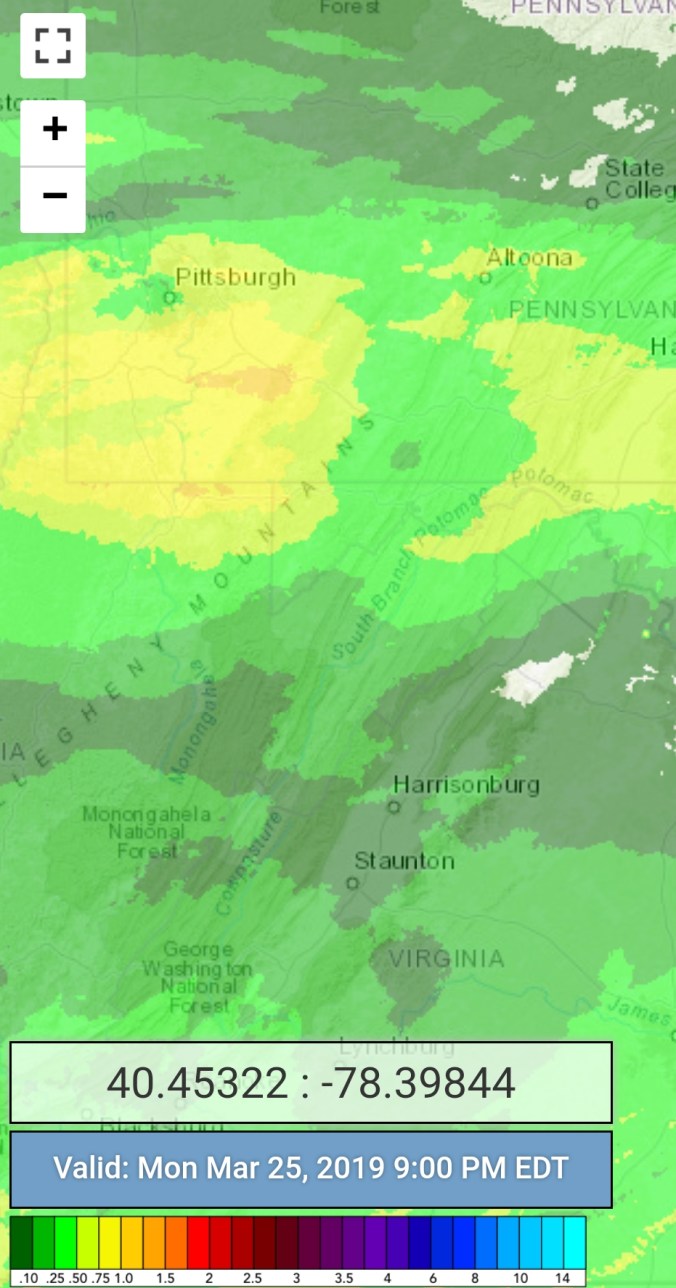
Radar
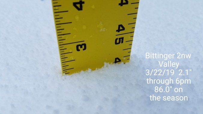
Snowfall- Picked up 2.1″ through 6pm at Bittinger 2nw Valley. 1.5″ of that fall in under 40 minutes early this afternoon. 86.0″ on the season
Satellite
Flow
Surface features and 500mb heights anomalies and flow
Cloudy, SE flow transitioning north late. A few flakes, sprinkles. More in the way of flakes along Savage Mt and Backbone… things whitened up awhile at North Fork Mt….and east around Skyline drive. 6-8″ above 3000′
Temp profile this afternoon
Radar
Satellite
Flow
Surface features and 500mb height anomalies and flow