Jan 28(Mon) min max. avg
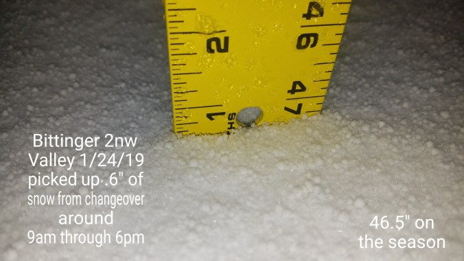
Bitt 2nw Valley
Garrett College
Can-Heights
Cabin Mt
Cabin Mt north
Spruce Knob
Snowshoe
Can-Valley Floor
Can-Valley Floor N
7Springs
Mainly clear beginning to end. Cold valley start. I did not have a logger on the Glades, but with reasonable certainty it likely fell under 0 last night. Colder east, milder west setup today, and a look
Temp profile this afternoon


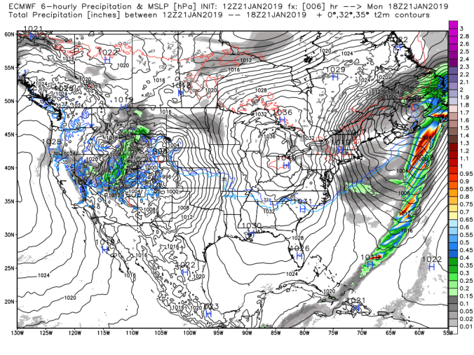
Radar-void
Satellite
Flow
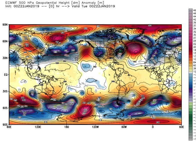
Surface features and 500mb height anomalies and flow


Pics today


The forecast fail. A repeated, documented over and over and they are so stuck in their ways, I suppose it matters not that it fails, but they don’t budge from their airport grid procedure.
First last night, forecast min for Oakland 16°. 16 was only seen at some of the highest locations(like the airport) Mchenry, Oakland, areas where lots live,,well below 16°.. Today, they set up a temp map with very little variance across the county. The 3km Nam, was very good as always. Reality was, Savage Mt held 20s, not mid 30, I held low 30s not mid 30s, Mchenry ran upper 30s,,not mid 30s But using that grid,,blending it out, they fail to see the difference and that’s why in freezing rain events their forecast adjust as the event unfolds and is nowcast, not a forecast.. It’s ever changing. The airport grid SUCKS and it’s used and fails and has failed for years.