Oct 10. min. max. avg
Bitt 2nw valley 61.3 74.0 67.6
Garrett College 62.3 76.2 69.2
Can-Heights 59.2 70.3 64.8
CRN-Canaan 61.4 69.8 65.6
Cabin Mt 57.9 67.1 62.5
Cabin Mt north 58.6 68.2 63.4
Spruce Knob. x
Snowshoe 57.6 62.8 60.2
Can-Valley Floor 61.9 72.3 67.1
7Springs 61.1 72.7 66.9
Clouds at daybreak breaking for a partly cloudy day into early afternoon before cloud cover built and showers lifted north later. Cloud cover and showers occured earlier in the day as you went south in the Alleghenies.
Temp profile this afternoon,


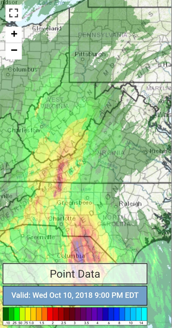
Radar with estimates 9pm-9pm
Satellite
Flow
Surface features and 500mb height anomalies and flow,


On the models….
Showers tonight, through Thursday as the on and off fashion. Colder air pushing late Thursday, through the night. Some Wv high ground may hold 30s on Friday. Highs at midnight Friday and falling. Windchills in the teens across the Wv high ground. Gusty winds. A little rime possible early, and if there is any moisture left , few flakes could be possible as the air aloft(850 temps) which is basically the Wv high spots, run below freezing. Then again Saturday morning. Air looks to be a touch more saturated Saturday a.m, so the column may not be cold enough to the surface to get snow, despite the GFS does show it. More likely above 4k feet Saturday.
Further out, a few flake threats and maybe a little light accumulation threat above 3000′ exist next week. Details sketchy.
Short term, 18z 3km Nam 2m temperatures
18z 3km Nam Simulated Radar
18z 3km Nam 850 temps
Windchills Friday morning, and really the entire day features cold windchills. Wv high ground looks likely to have windchill values in the teend. Yes teens Friday am. Get ready to watch some of the high elevation stations. 
18z GFS precip type next 384hrs
Saturday a.m up close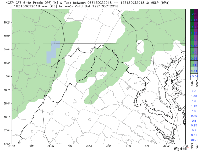
18z GFS 2m temperatures
18z GFS snowfall next 10 days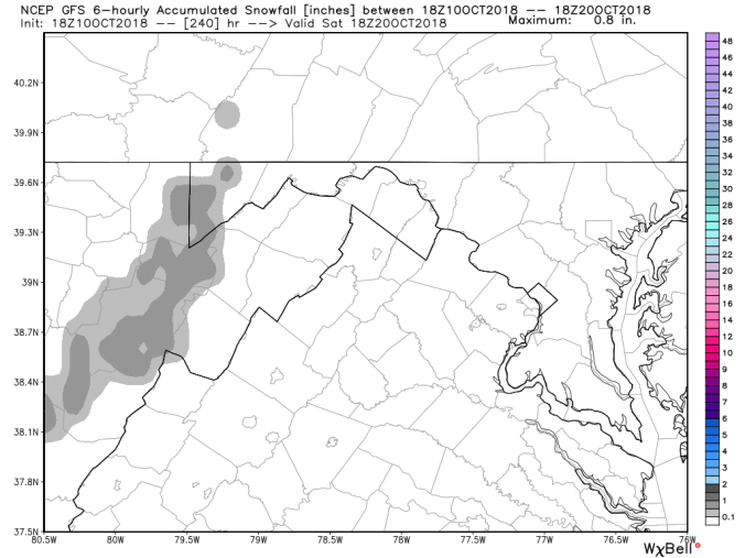
18z GFS total precip next 10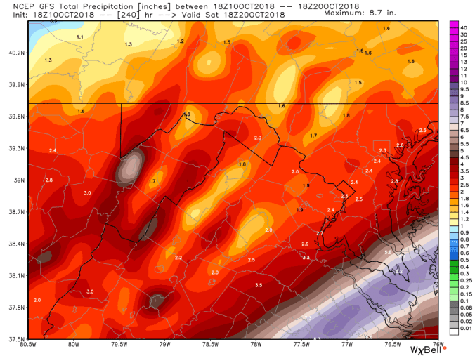
12z ECMWF Saturday a.m. Air aloft marginal, leaning to more liquid, but flakes can’t be ruled out.


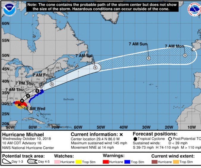
Hurricane Michael
Michael became a strong cat 4 and sub 920mb storm.
Fall “fool”iage…..
This fall has turned into a extremely poor foliage season. Heavy leaf drop,,minimal color. Its basically bare to dull maples, cherry, with green oaks with brown spotted leaves…mixed with a few other trees with minimal color Few pics


