December 13, 2019
Dec 13(Fri)
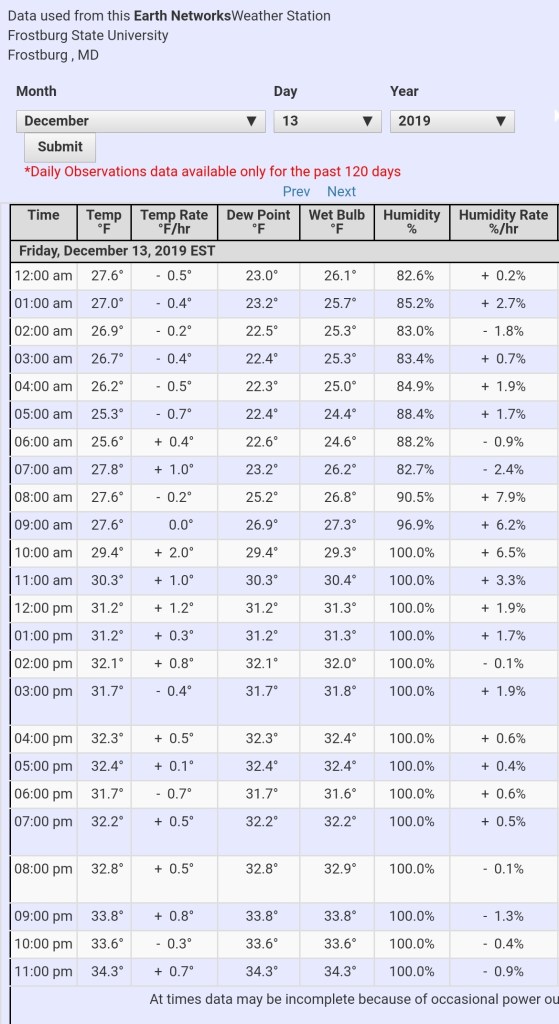
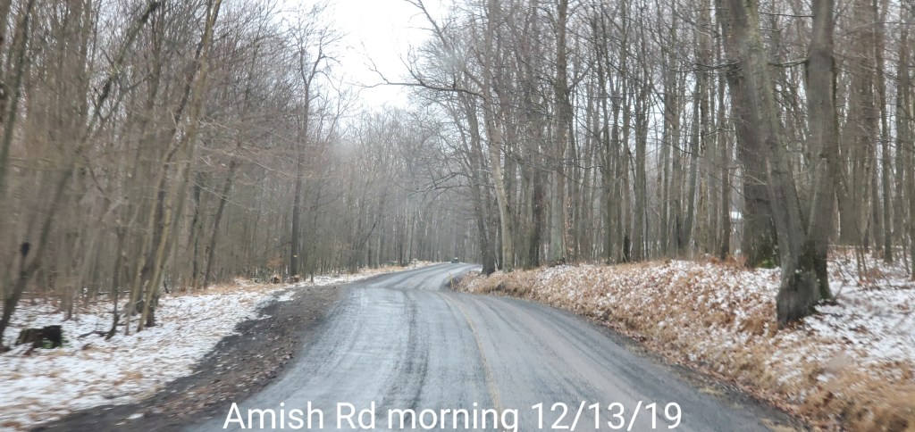
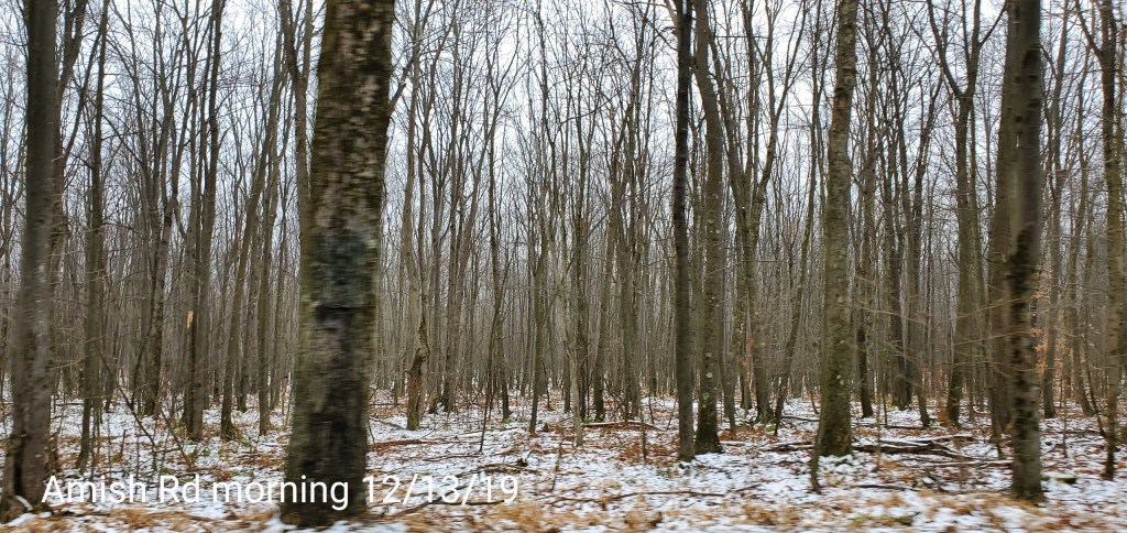
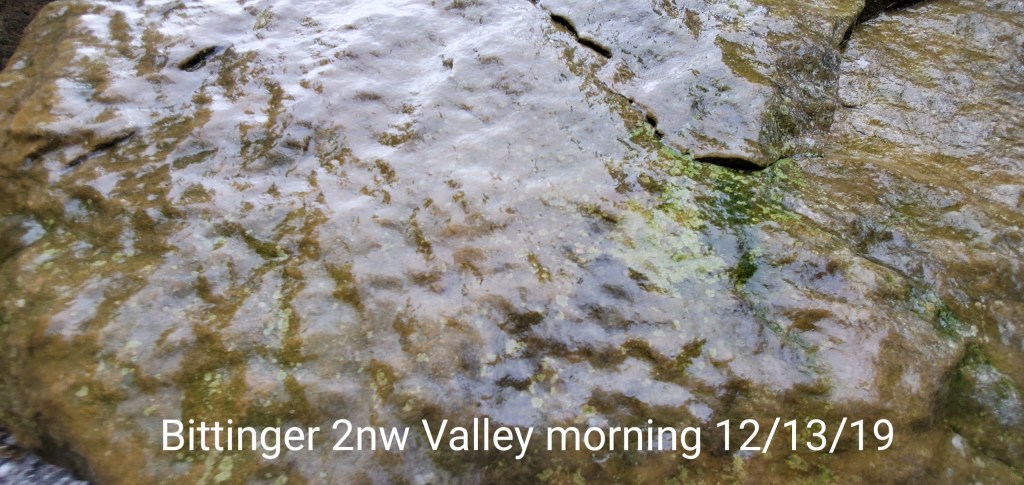
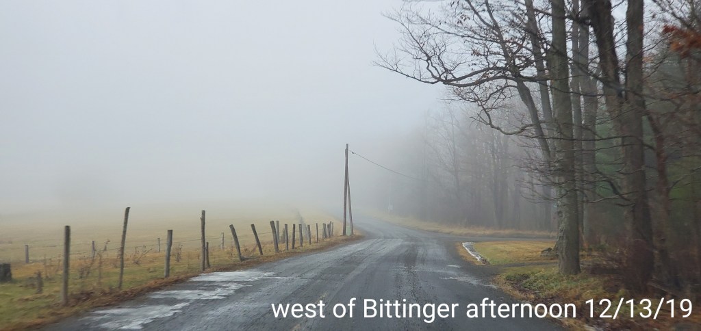
A variety of weather in the area. The classic ice zones got some light glaze, the valleys on the east side of the Mts picked up a quicker glaze in the morning that lead to very slick conditions. Temps varied as you’ll see below and the RTMA gives a good handle. Some deeper colder valleys held below 32.
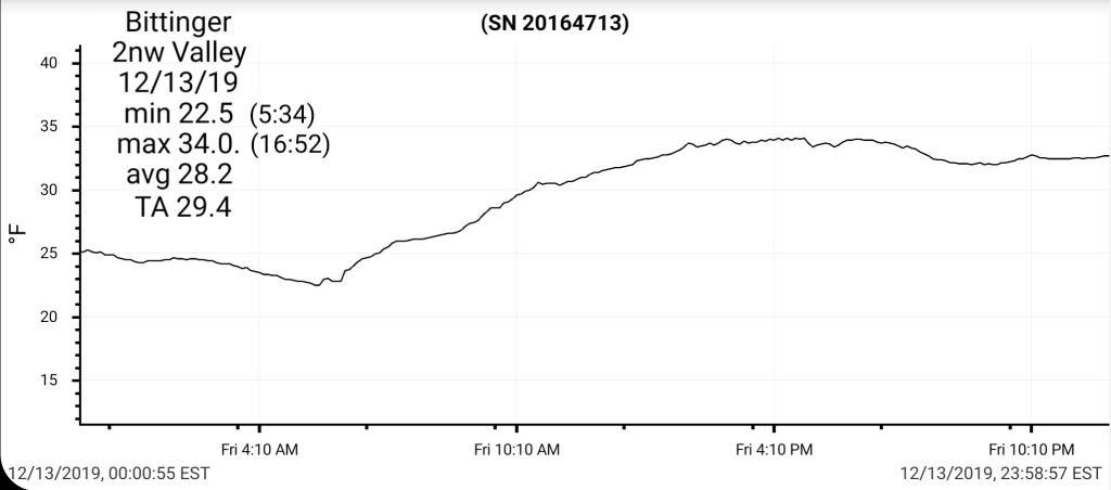
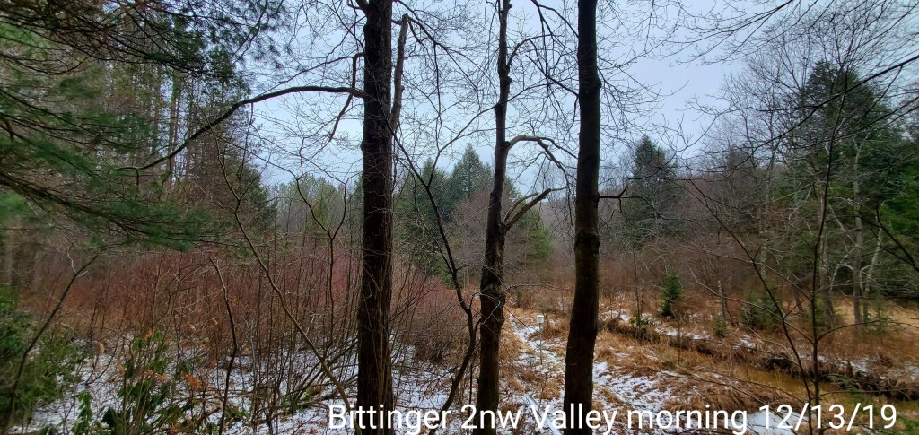
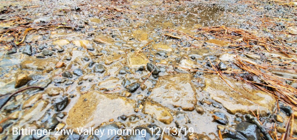
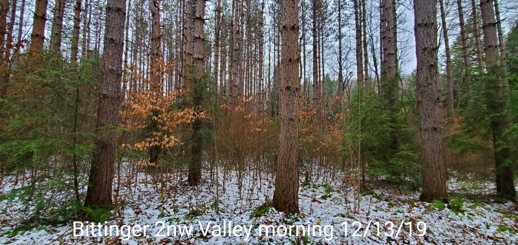
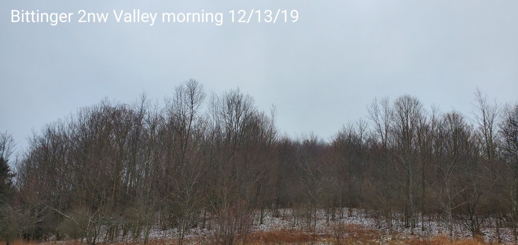
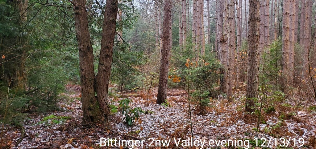
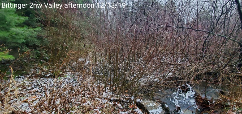
Bittinger 2nw Valley
MIN[22.5]—MAX[34.0]—AVERAGE MEAN[28.2]—TRUE AVERAGE[29.4]
Snowfall season to date 12.3″
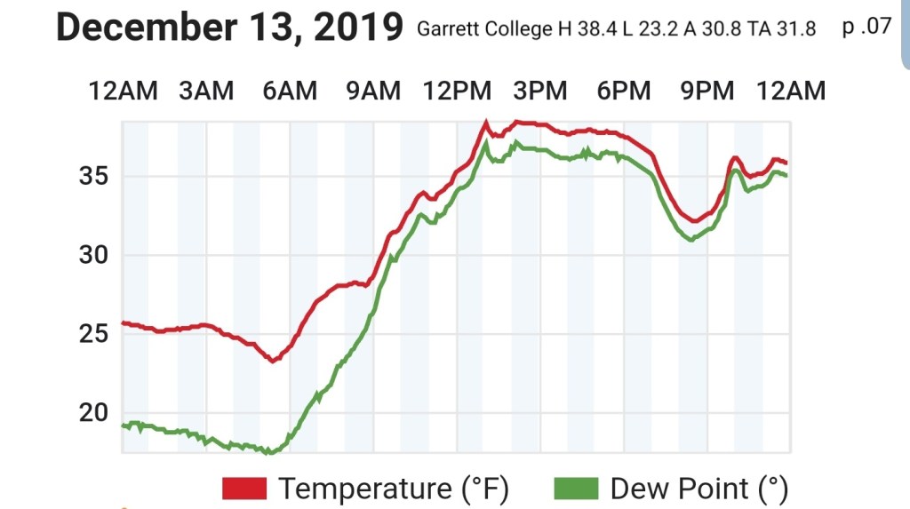
Garrett College
MIN[23.2]—MAX[38 4]—AVERAGE MEAN[30.8]—TRUE AVERAGE[31.8]—PRECIP[.07]
Canaan Heights/Davis 3SE
MIN[25.0]—MAX[44.0]—AVERAGE MEAN[34.5]—PRECIP[T]7am
Snowfall season to date 20 5″
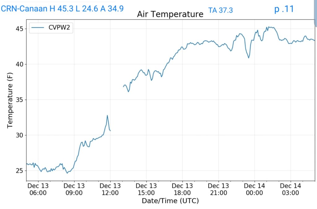
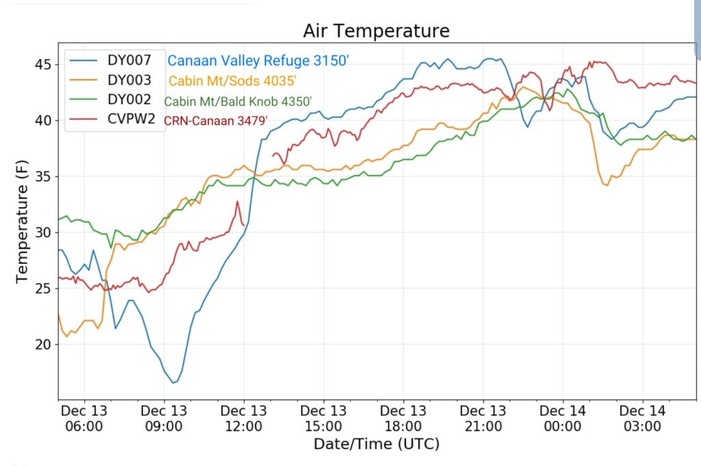
Climate Reference Network Canaan
MIN[24.6]—MAX[45.3]—AVERAGE MEAN[34.9]—TRUE AVERAGE[37.3]—PRECIP[.11]
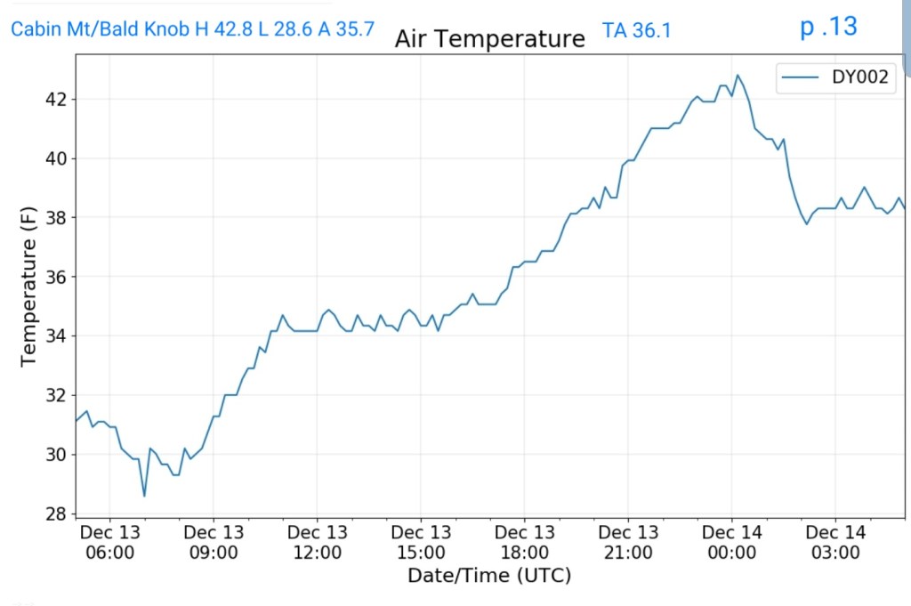
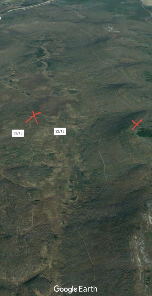
Cabin Mt at Bald Knob
MIN[28.6]—MAX[42.8]—AVERAGE MEAN[35.7]—TRUE AVERAGE[36.1]—PRECIP[.13]
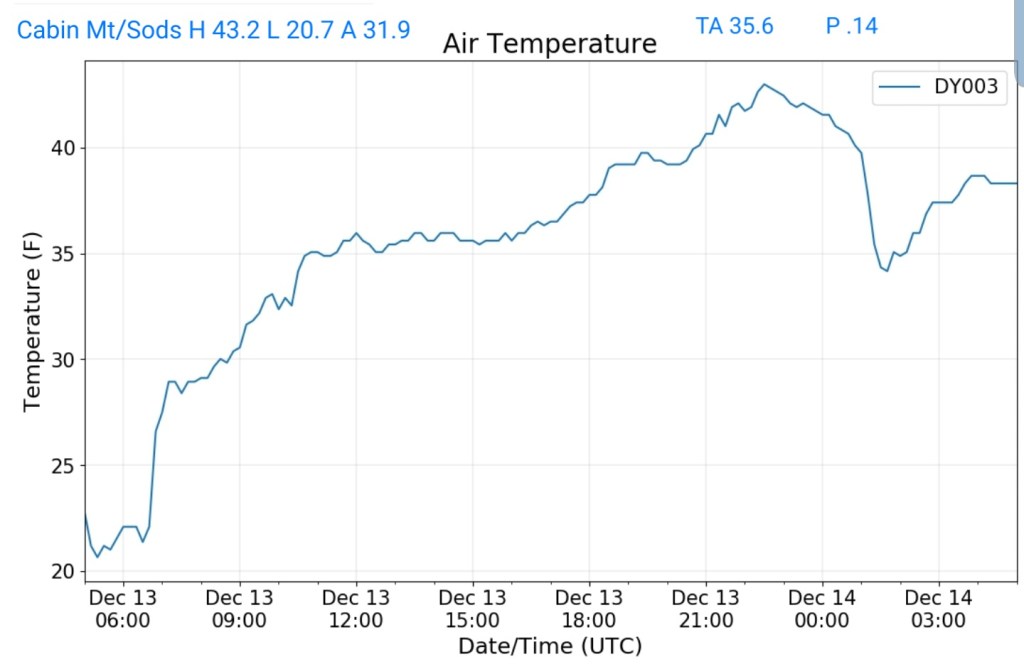
Cabin Mt-Western Sods
MIN[20.7]—MAX[43.2]—AVERAGE MEAN[31.9]—TRUE AVERAGE[35.6]—PRECIP[.14]
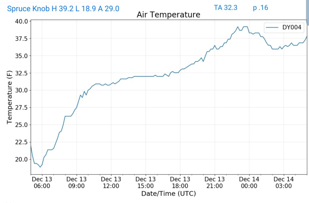
Spruce Knob
MIN[18.9]—MAX[39.2]—AVERAGE MEAN[29.0]—TRUE AVERAGE[32.3]—PRECIP[.16]
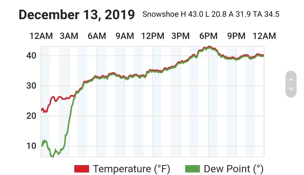
Snowshoe
MIN[20.8]—MAX[43.0]—AVERAGE MEAN[31.9]—TRUE AVERAGE[34.5]
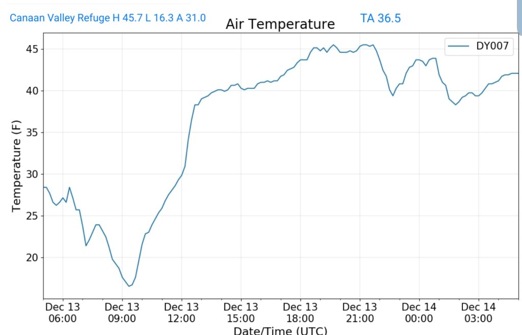
Canaan Valley Refuge
MIN[16.3]—MAX[45.7]—AVERAGE MEAN[31.0]—TRUE AVERAGE[36.5]
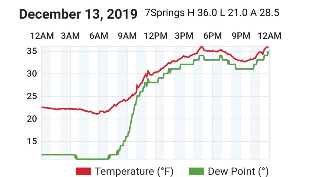
7Springs
MIN[21.0]—MAX[36.0]—AVERAGE MEAN[28.5]—TRUE AVERAGE[28.6]
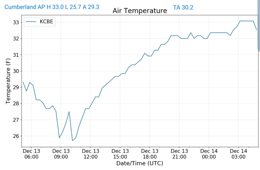
Cumberland Airport
MIN[25.7]—MAX[33.0]—AVERAGE MEAN[29.3]—TRUE AVERAGE[30.2]
The Valley vs Cabin Mt


Canaan area temps
Comparison view

RTMA
Radar
Satellite
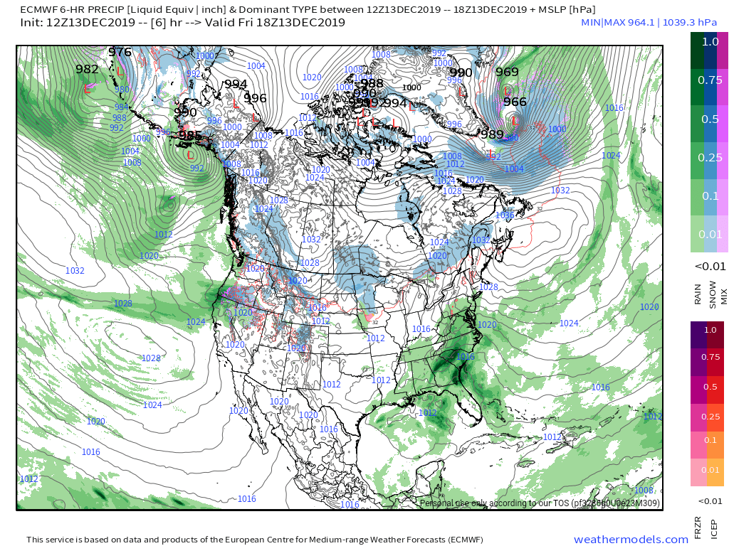
Flow
(Forgot to download from the nullschool site, so a different version today since nullschool does not archive)
Surface features and 500mb height anomalies and flow

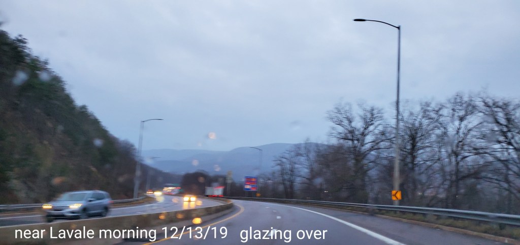
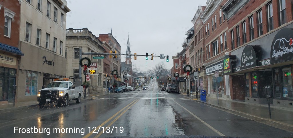
pics today-
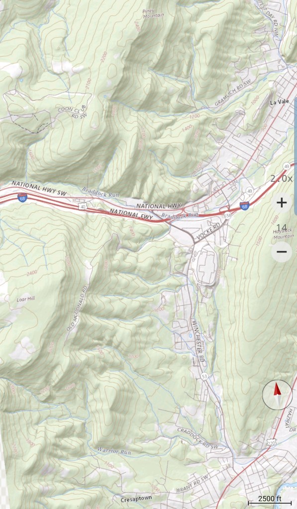
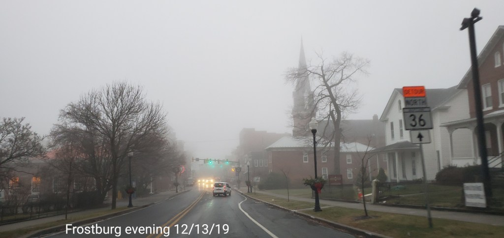
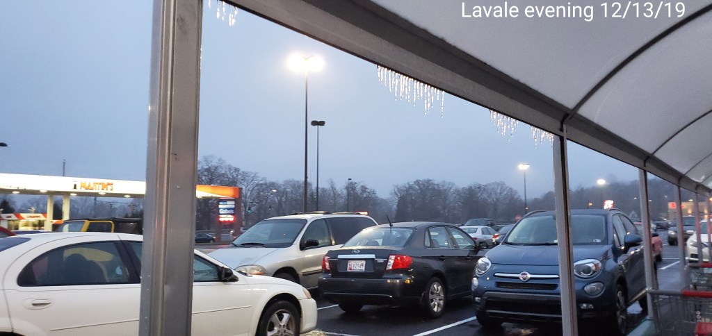
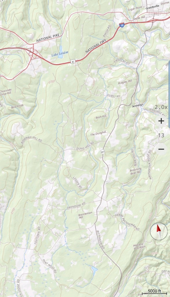
Lavale to Frostburg
Cold air loves to hang in these low valleys in this area after a departing cold air mass in place

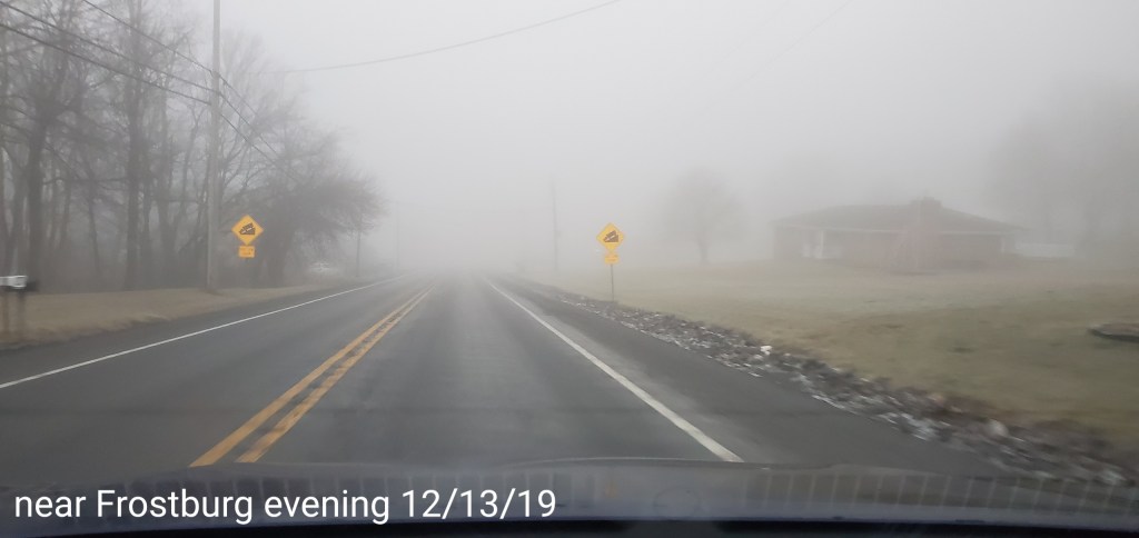
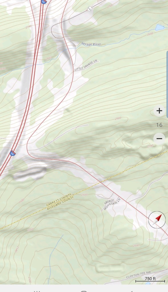
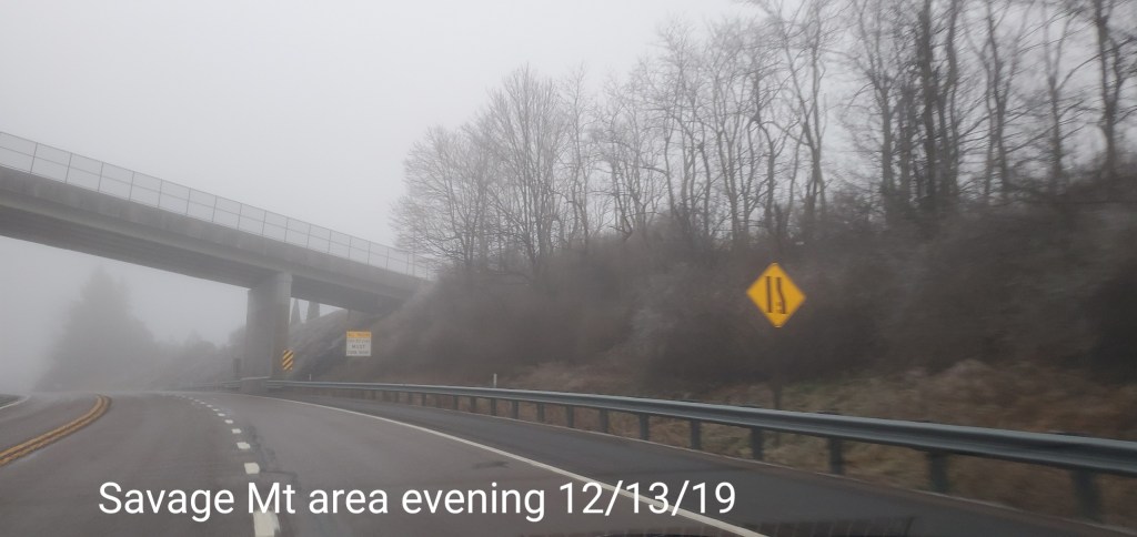
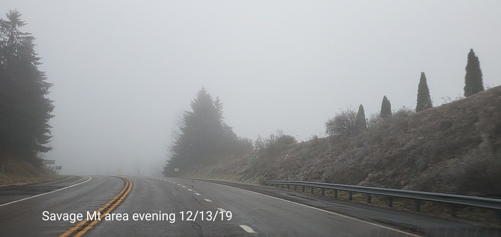
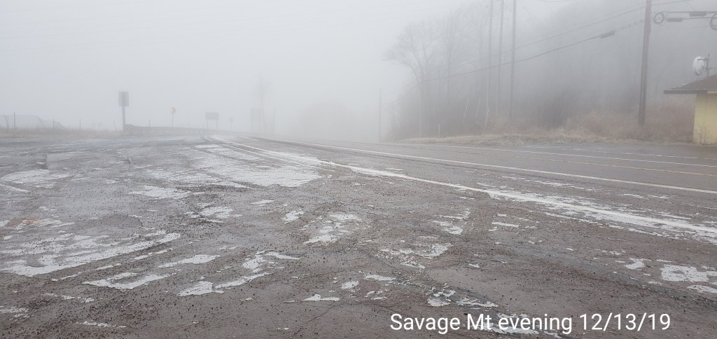
Savage Mt area


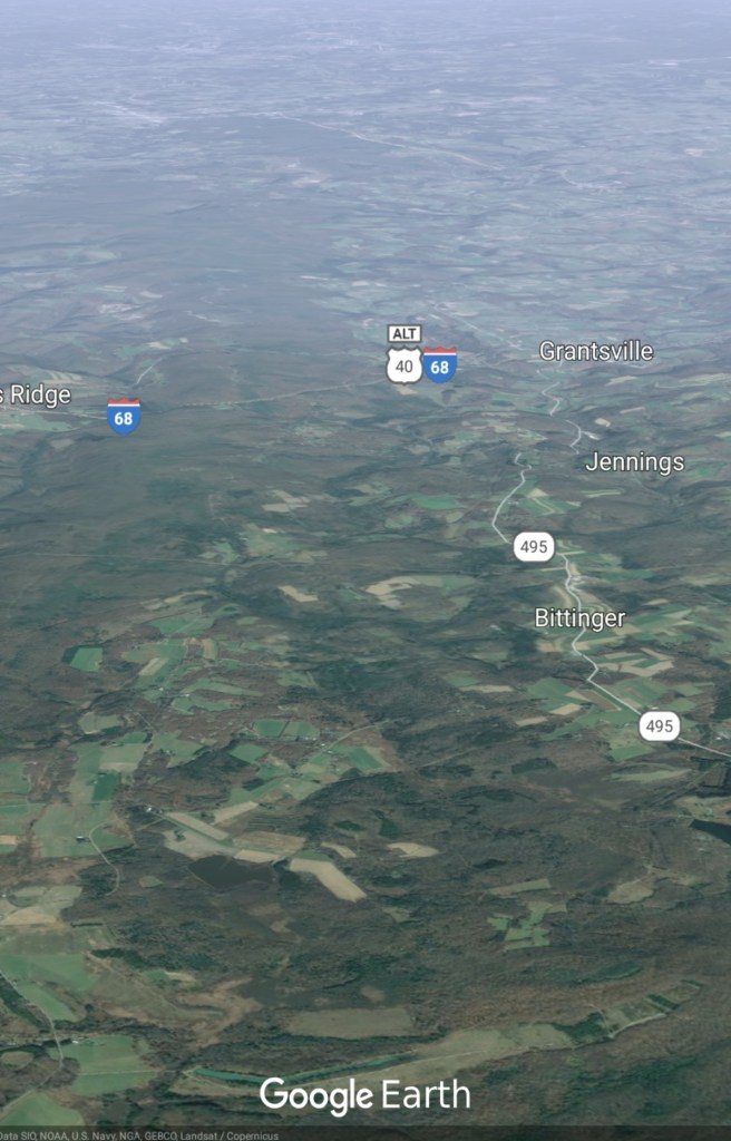
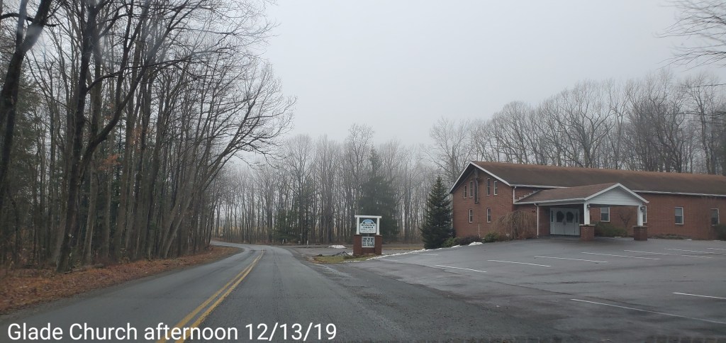
Grantsville to Bittinger area
Initial very light glaze, high valleys held cold. Not as good as the deeper valleys do, but the high valleys still cooler than the high ground from in this area and west
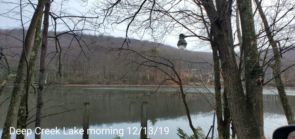
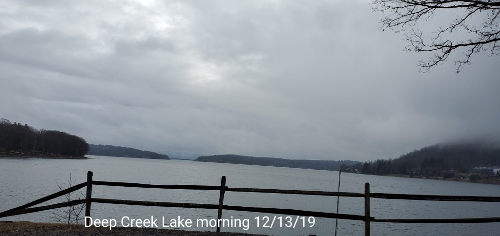
Deep Creek Lake
Smooth area is a thin ice cover
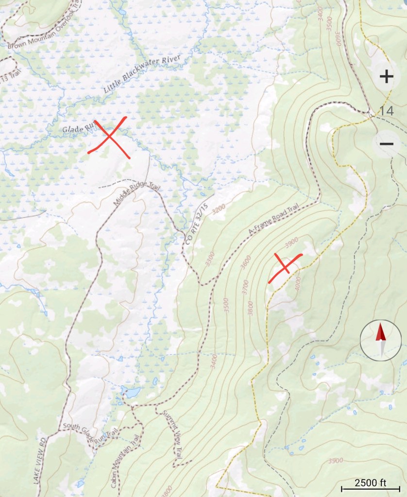
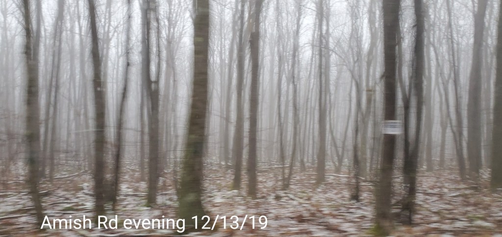
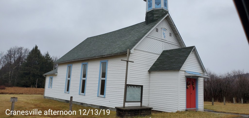
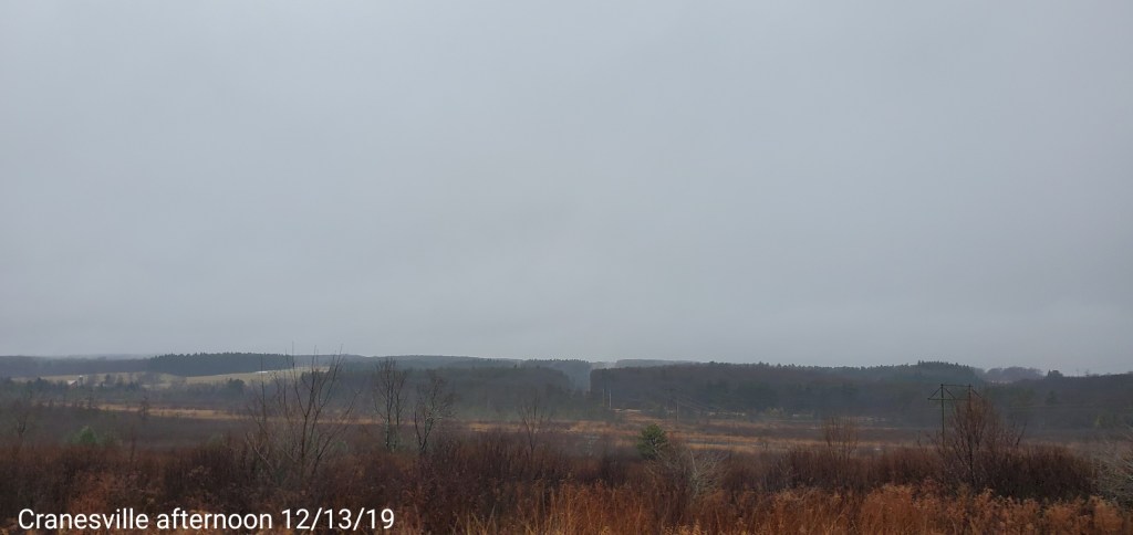
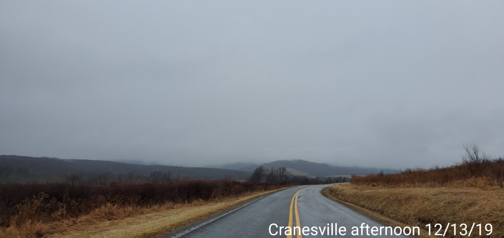
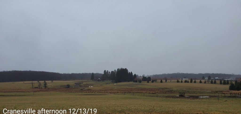
Cranesville area
Far enough west, not nearly as ice prone in these setups
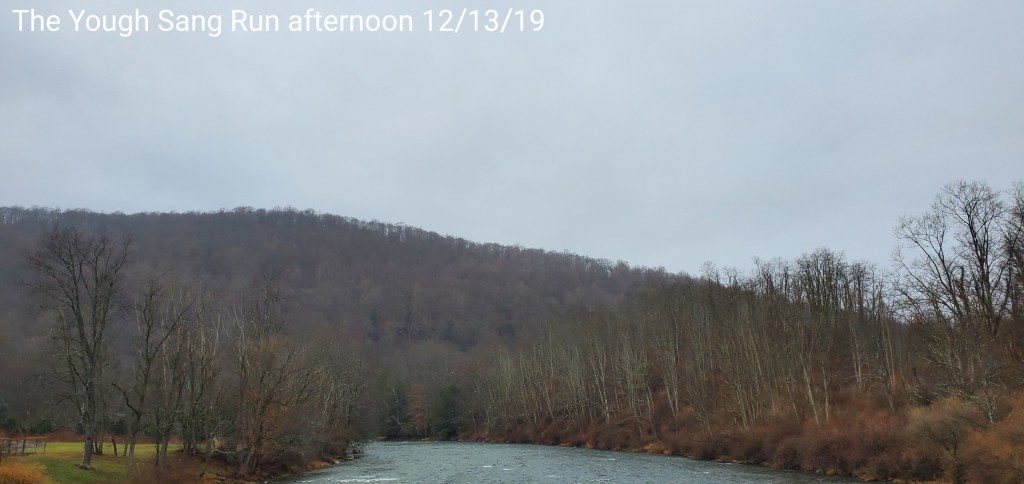
The Yough-Sang Run
Colder Deep Valleys east

Late evening update: 12/13/19
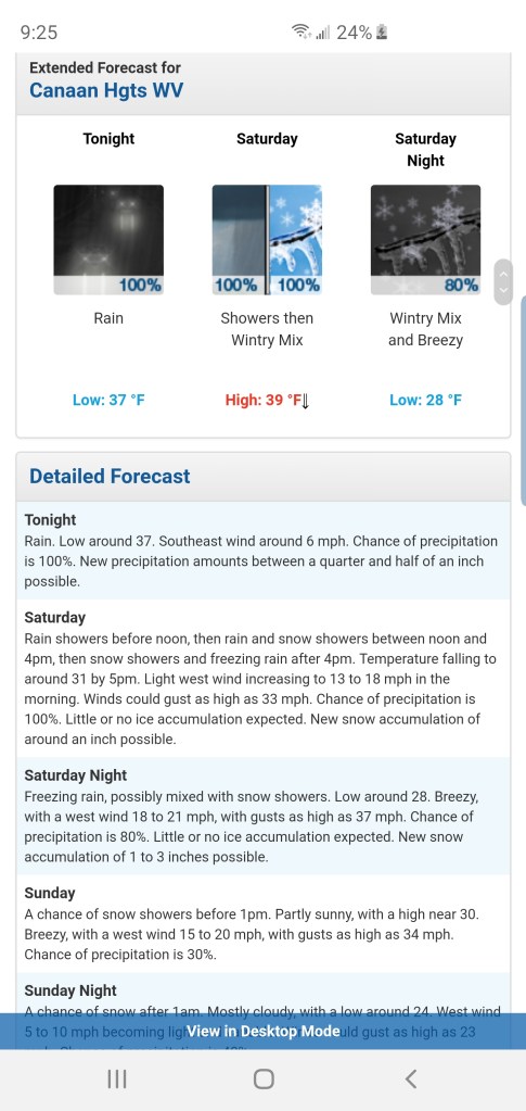
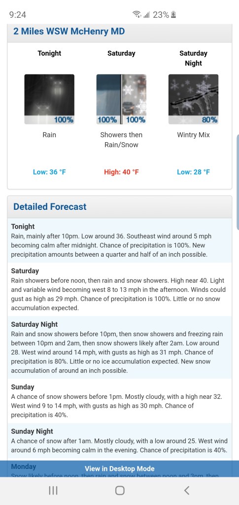
Some quick views of the latest model guidance for snowfall that begins first in the Wv high ground midday, early afternoon tomorrow, early to mid afternoon north of Canaan.
Overall looks like a 3-6″ event Wv high ground, as always I lean low to mid and allow for a good performance to achieve the high en .
2-4″ Garrett, Preston into the Southern Pa high ground.
18z ECMWF

18z GFS
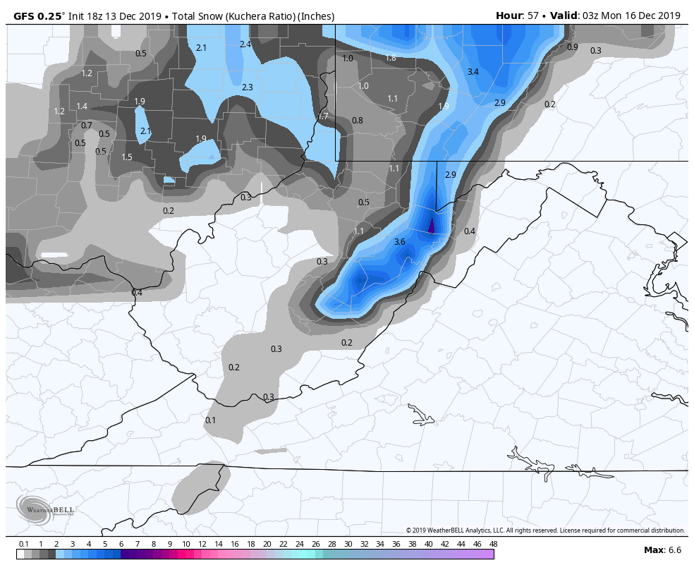
12z Canadian

Some very bizarre wording from the Pitt NWS. As great as their service has been early on this season, the past few days has just been a tad strange. The misunderstanding of how the ice setup this morning works, now this…
Freezing rain possibly mixed with a snow shower tomorrow night, 1-3″????!!! That may be the first in recorded history for the area.
For Garrett… lots of areas colder than forecast mins for daytime maxes today. Temps slow to rise overnight…the mins are and will be colder than forecast.
Charleston more in line with modeling on their end