January 14, 2020
Jan 14(Tues)
Cloudy, foggy, drizzly, rainy..
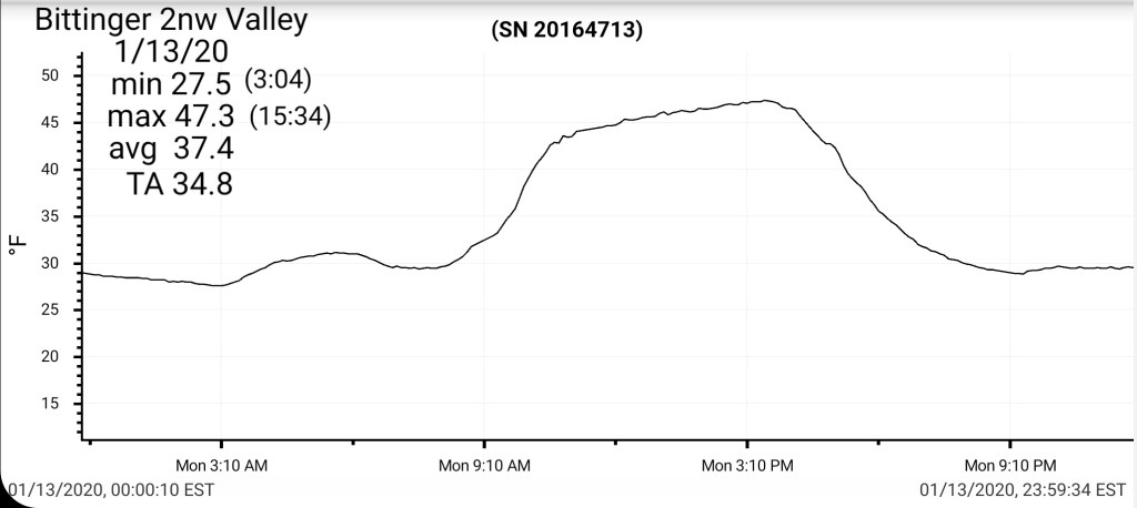
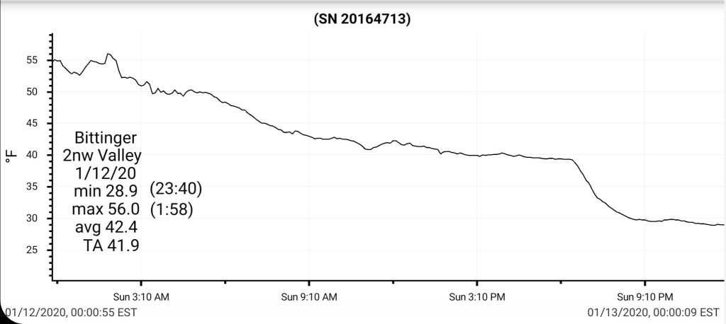
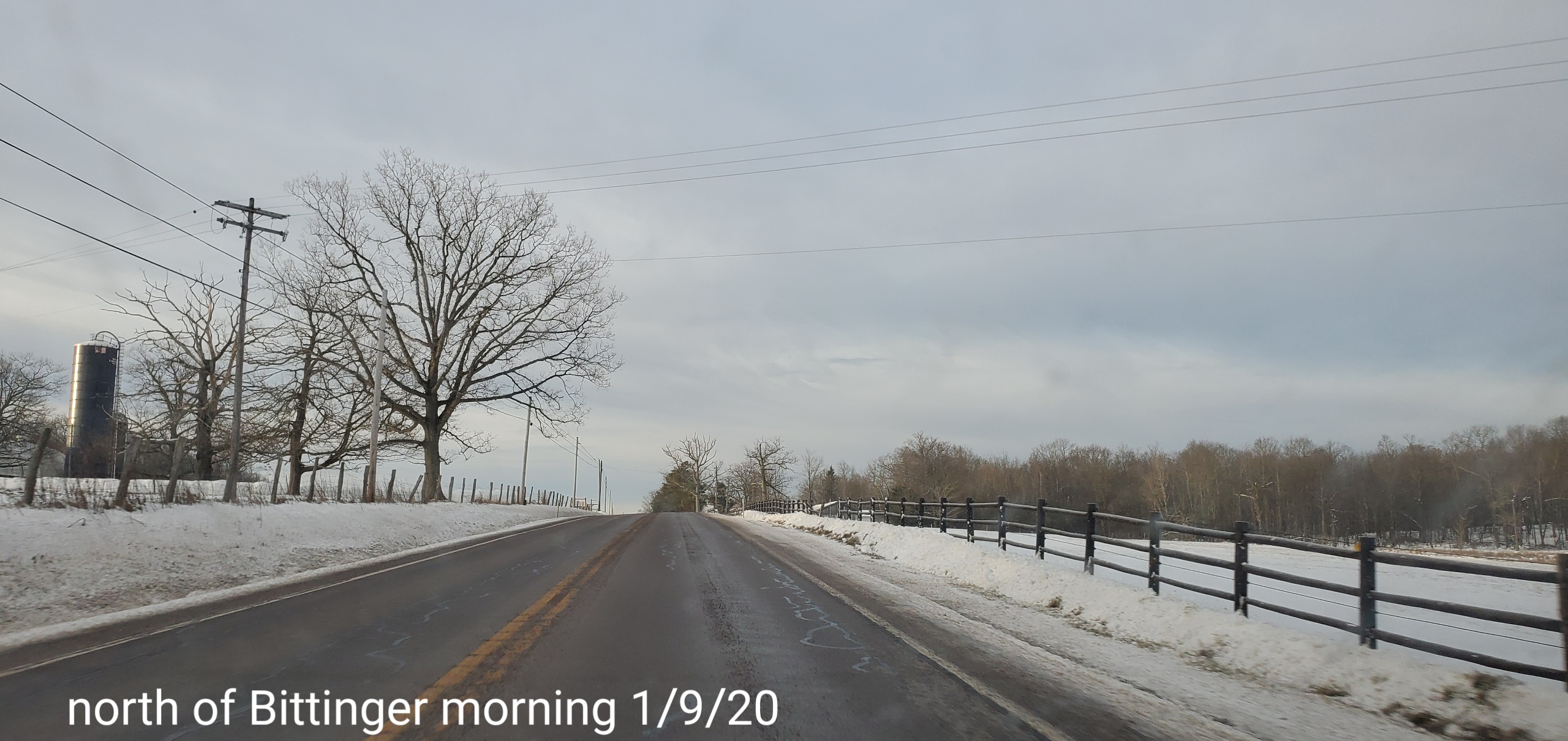
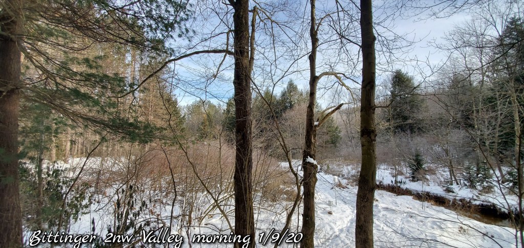
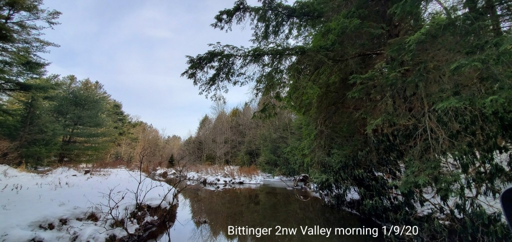
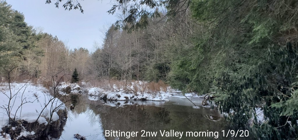
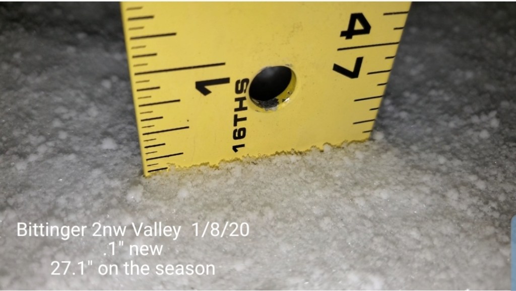
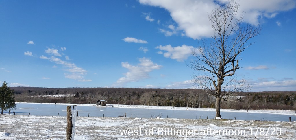
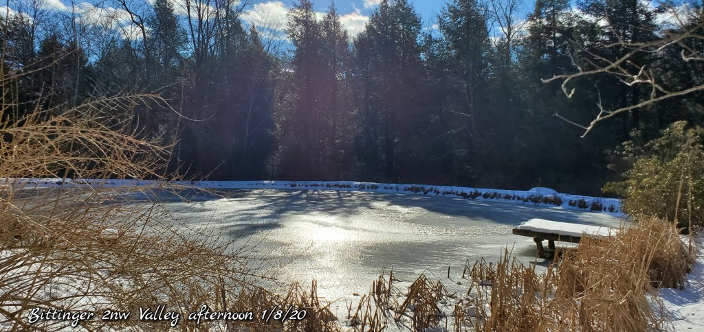
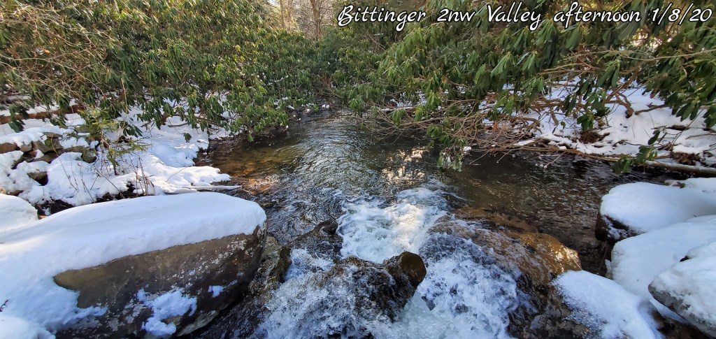
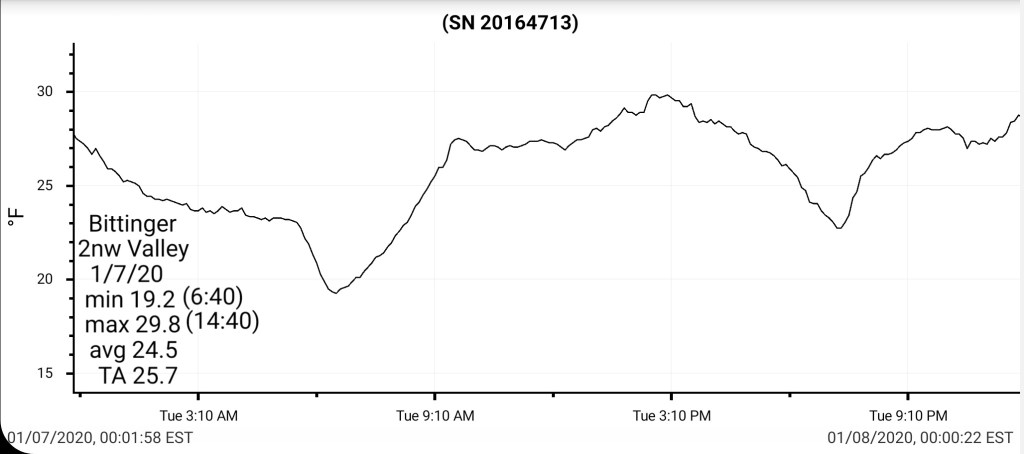
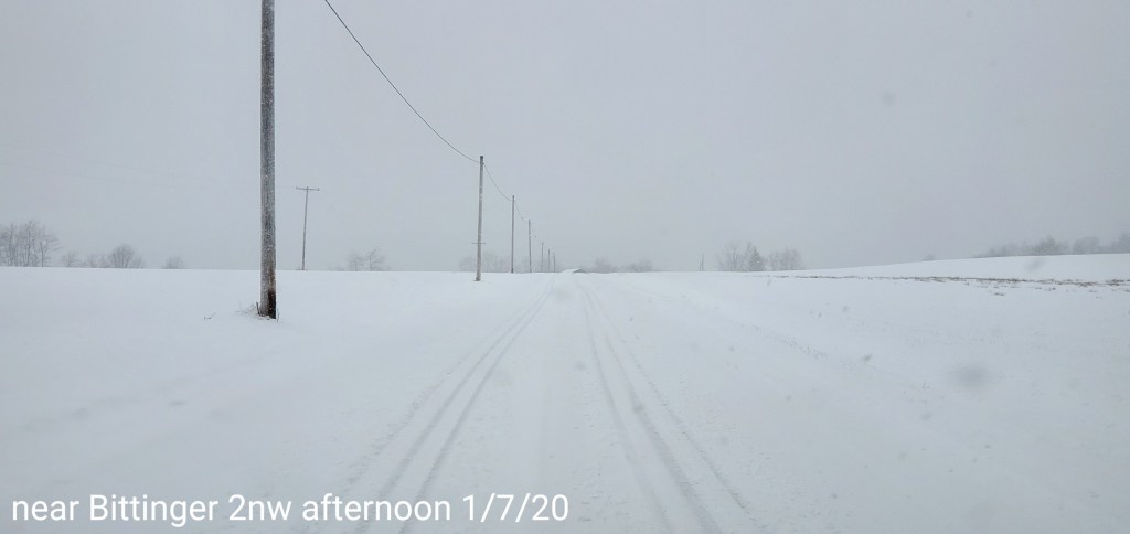
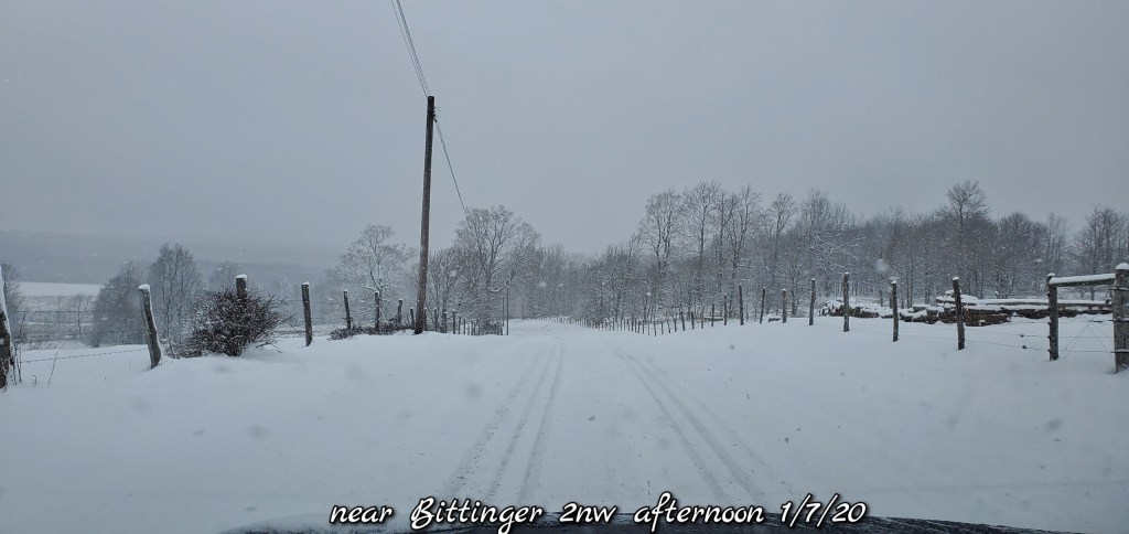
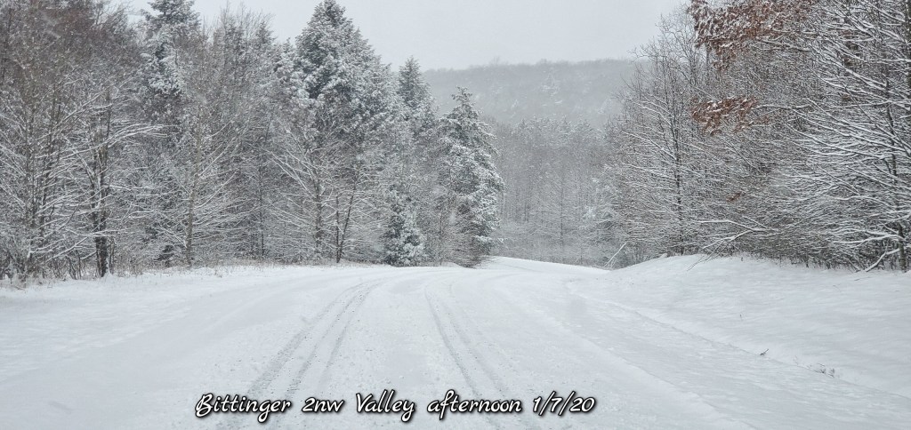
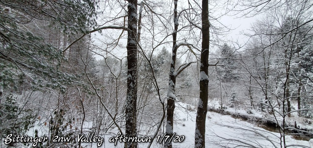
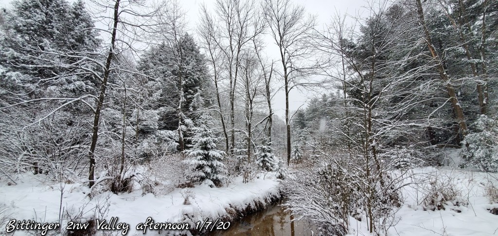
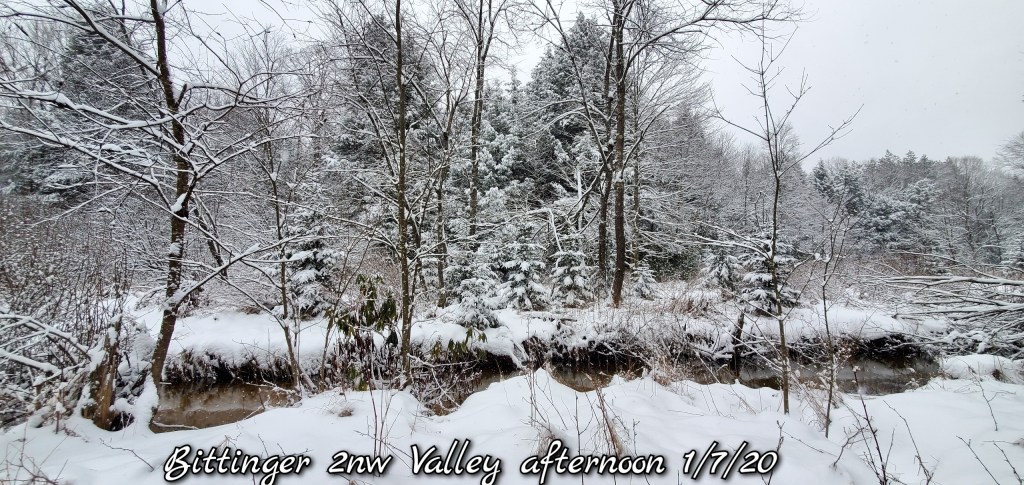
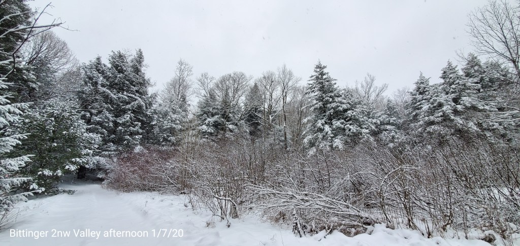
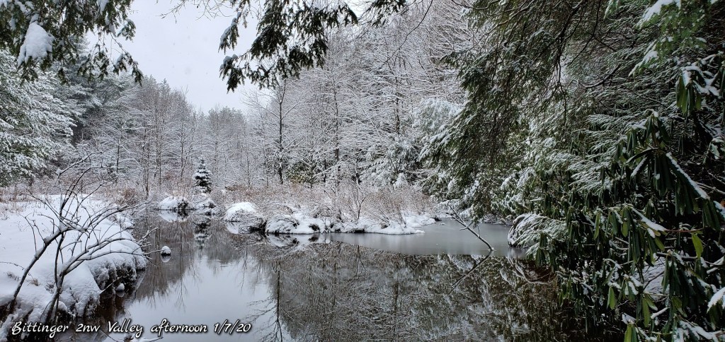
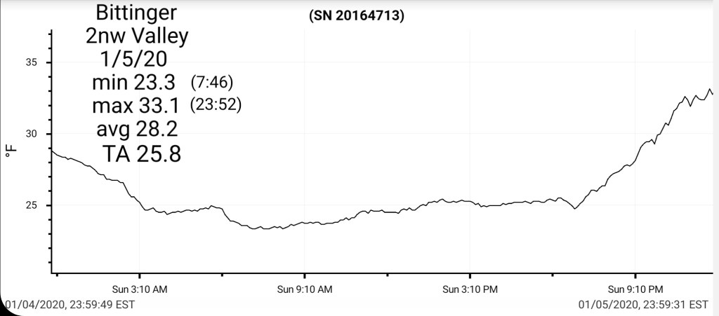
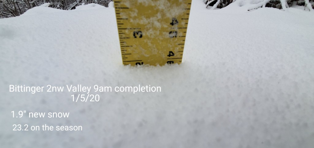
Bittinger 2nw Valley
MIN[29.6]—MAX[51.3]—AVERAGE MEAN[40.4]—TRUE AVERAGE[40.2]—PRECIP[T]7am
Snowfall season to date 27.1″

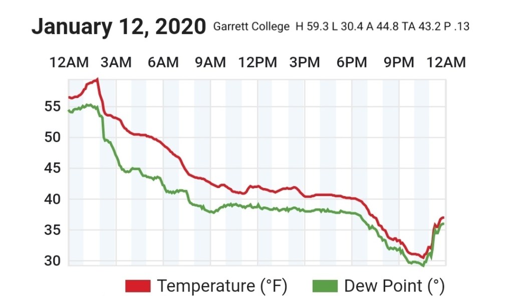
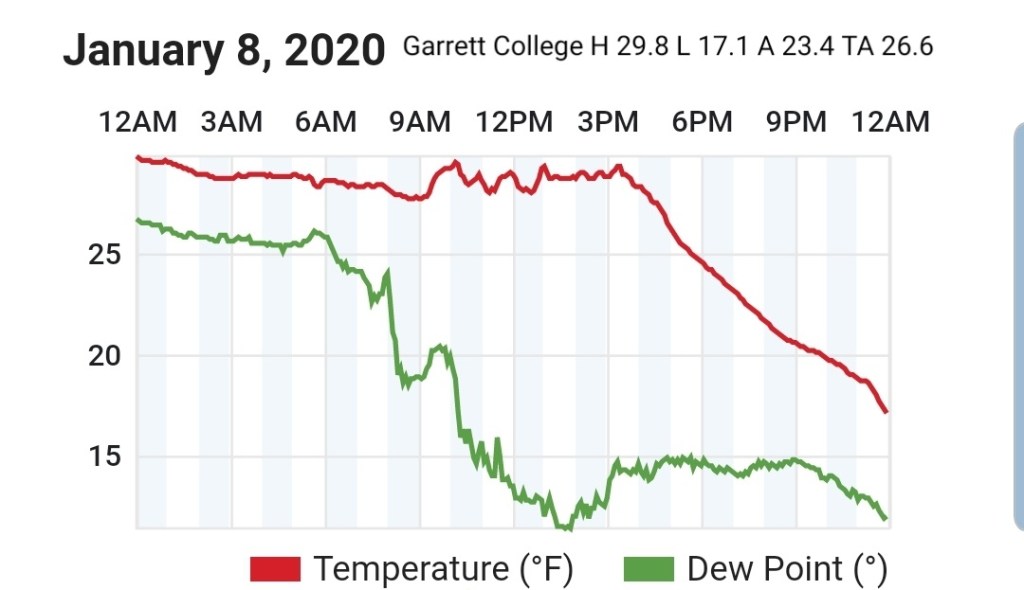
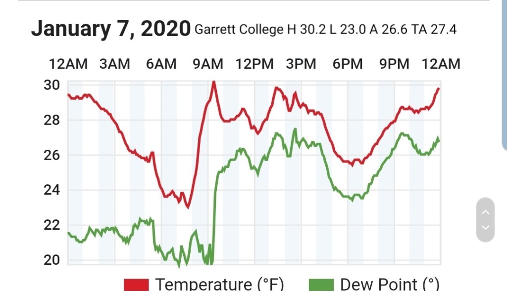
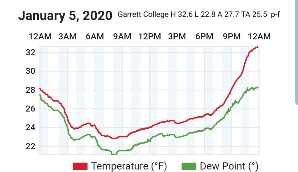
Garrett College
MIN[31.9]—MAX[51.3]—AVERAGE MEAN[41.6]—TRUE AVERAGE[42.5]—PRECIP[.17]

Canaan Heights/Davis 3SE
MIN[39.0]—MAX[51.0]—AVERAGE MEAN[45.0]—PRECIP[.13]7am
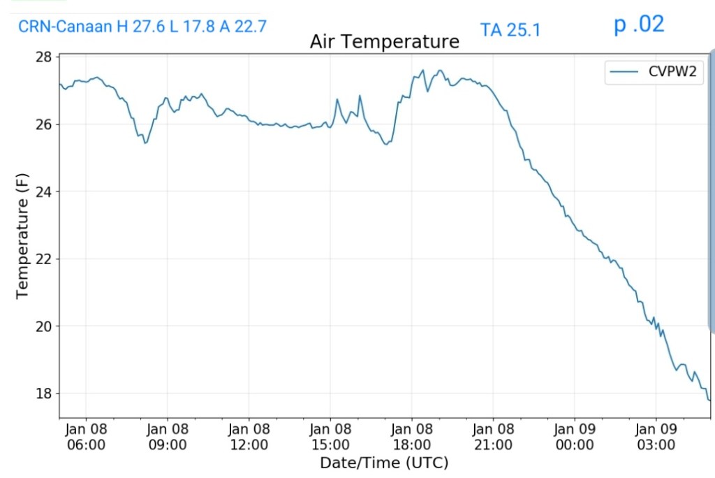
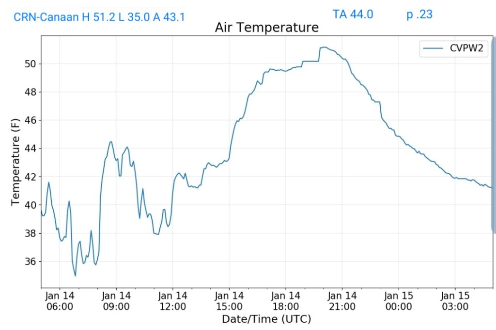
Climate Reference Network Canaan
MIN[35.0]—MAX[51.2]—AVERAGE MEAN[43.1]—TRUE AVERAGE[44.0]—PRECIP[.23]
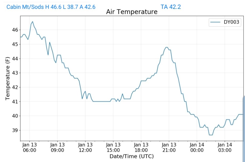
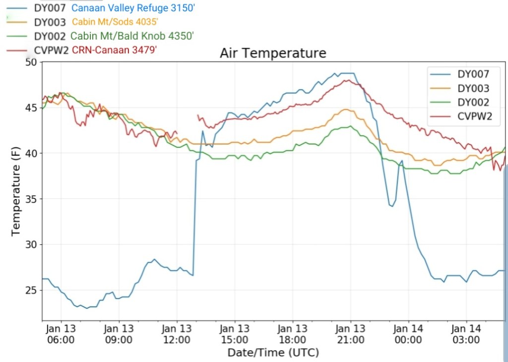
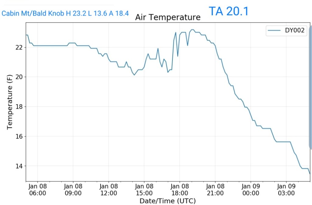
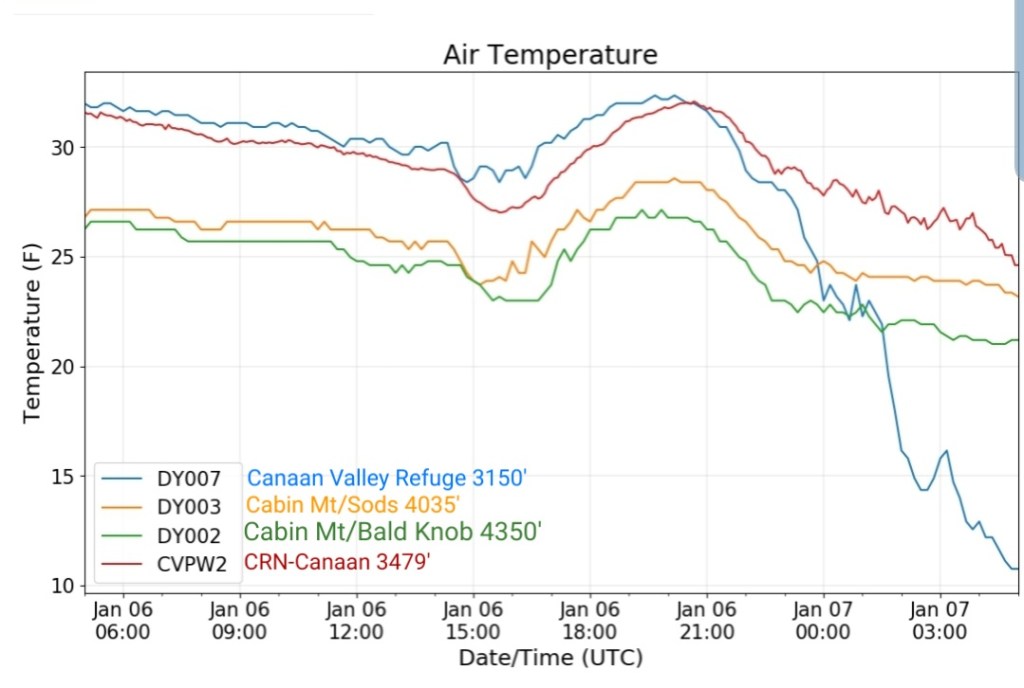
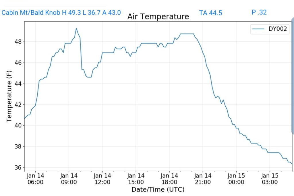
Cabin Mt at Bald Knob
MIN[36.7]—MAX[49.3]—AVERAGE MEAN[43.0]—TRUE AVERAGE[44.5]—PRECIP[.32]
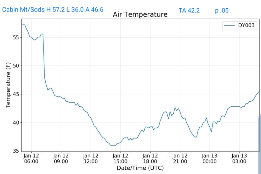
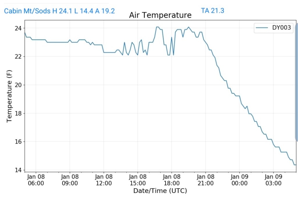
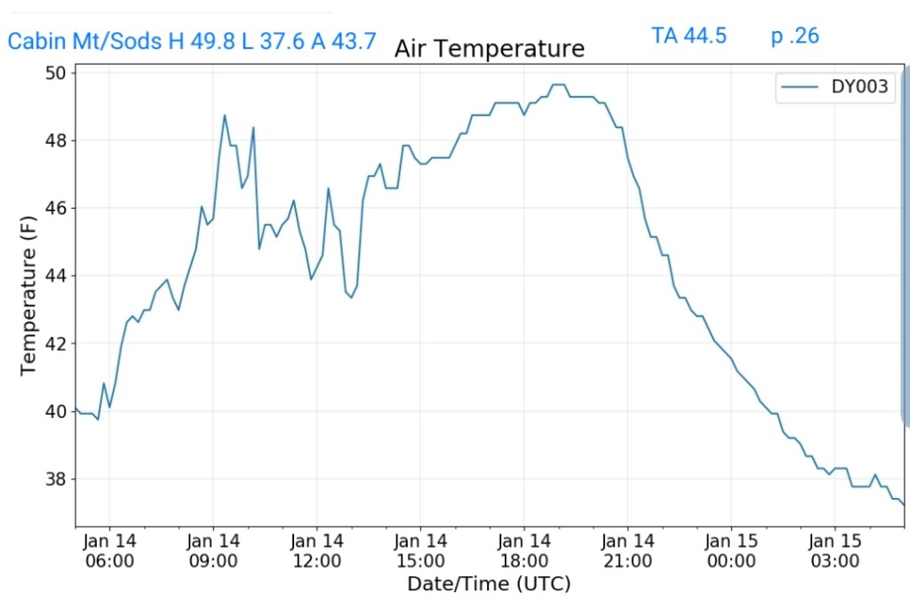
Cabin Mt-Western Sods
MIN[37.6]—MAX[49.8]—AVERAGE MEAN[43.7]—TRUE AVERAGE[44.5]—PRECIP[.26]
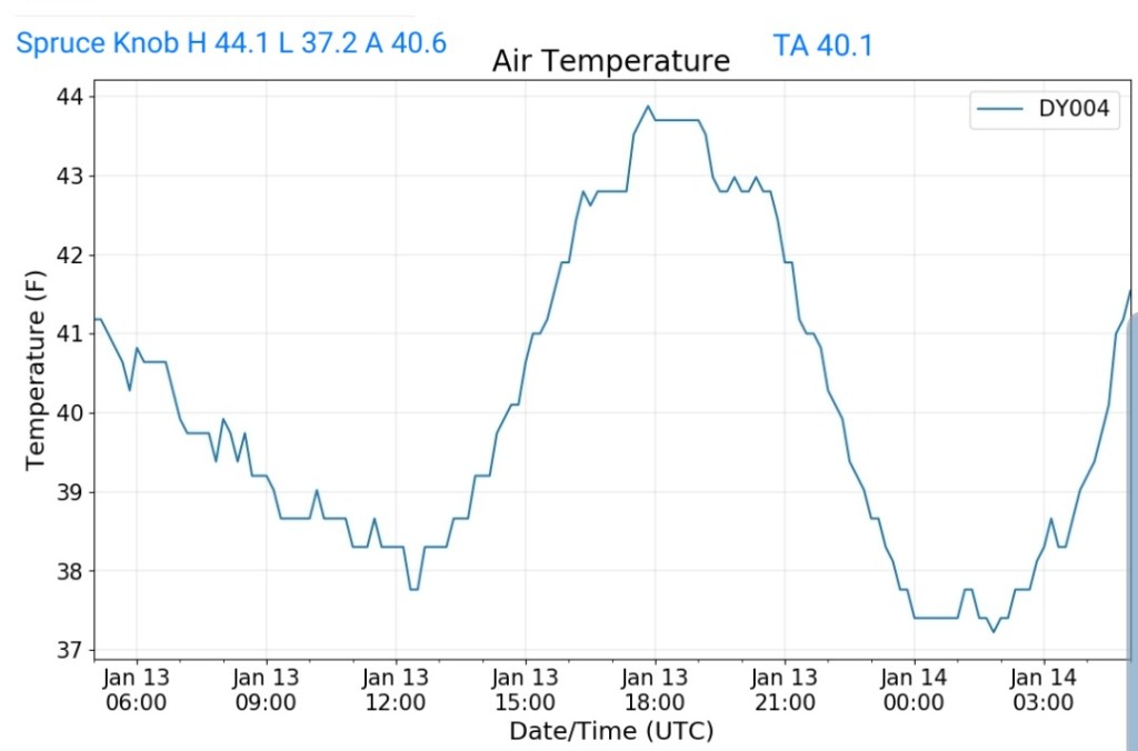
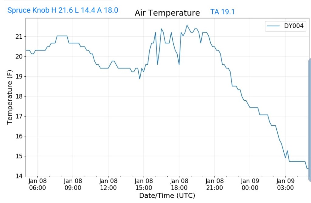
Spruce Knob
MIN[34.2]—MAX[47.8]—AVERAGE MEAN[41.0]—TRUE AVERAGE[42.8]—PRECIP[.21]

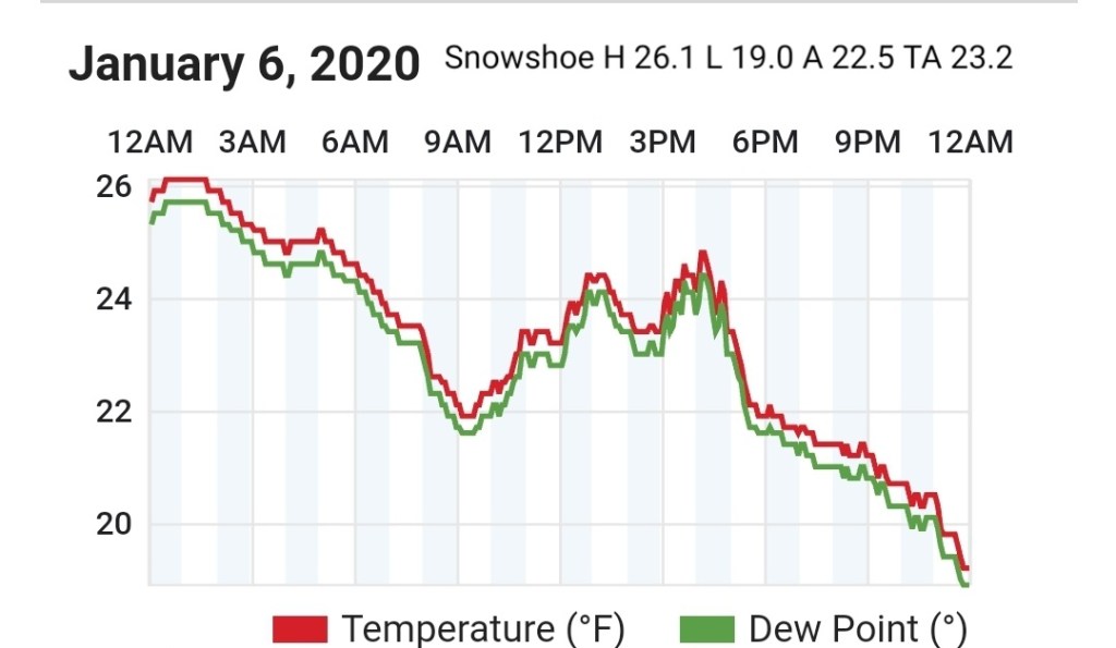
Snowshoe

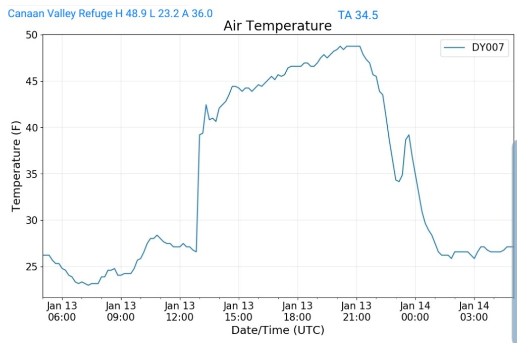
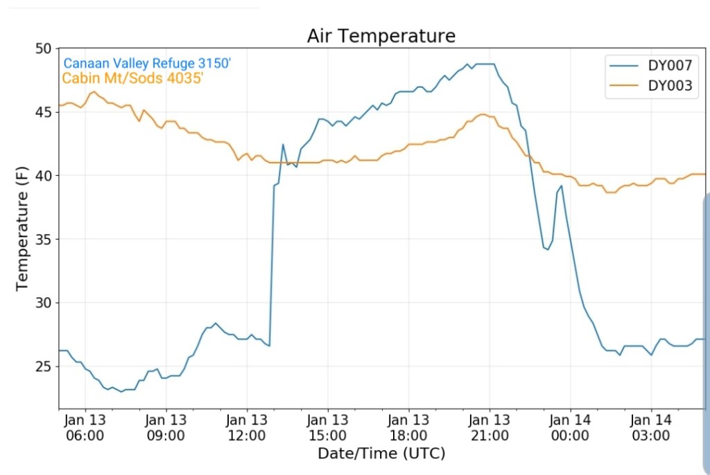
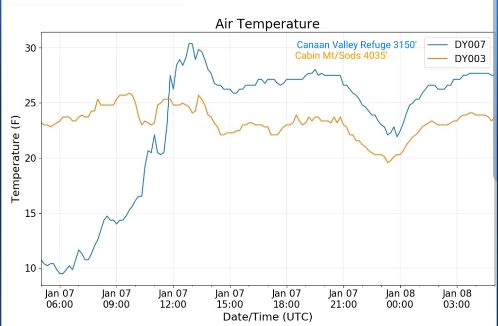
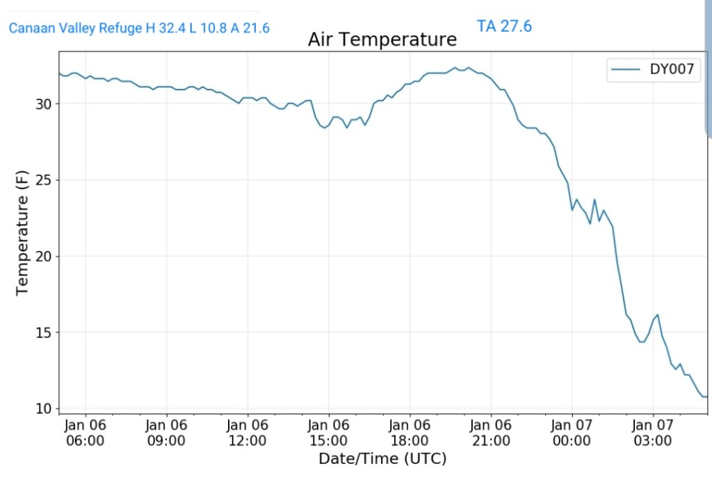
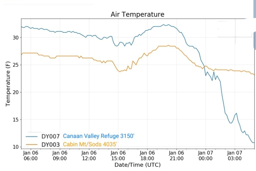
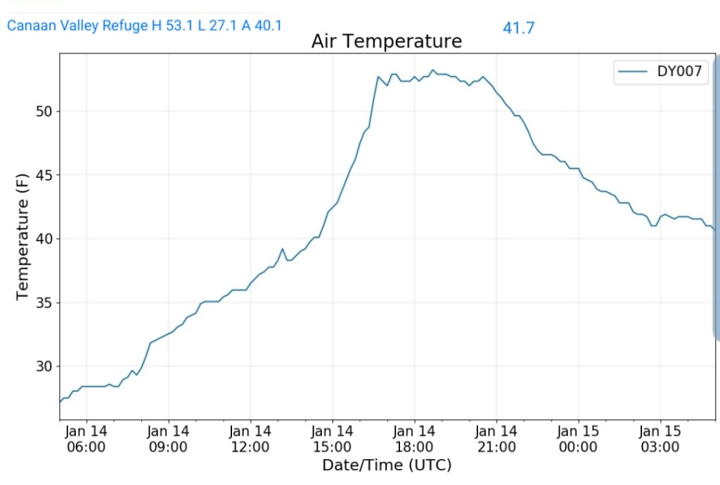
Canaan Valley Refuge
MIN[27.1]—MAX[53.1]—AVERAGE MEAN[40.1]—TRUE AVERAGE[41.7]
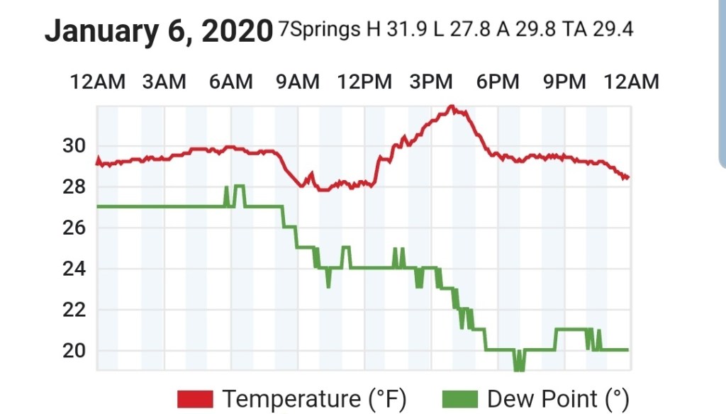
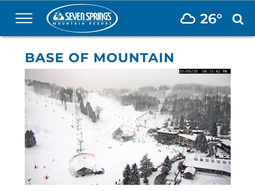
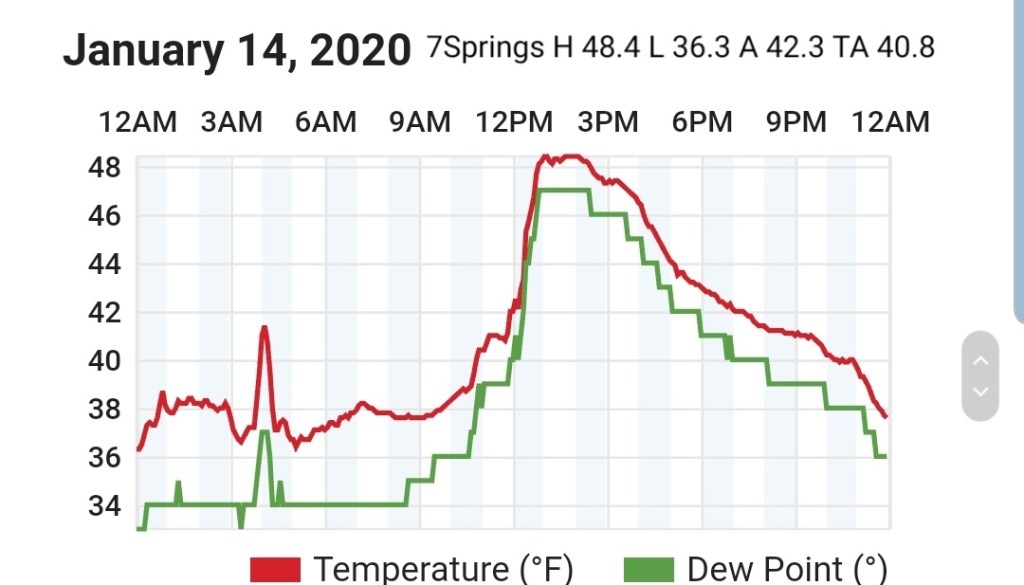
7Springs
MIN[36.3]—MAX[48.4]—AVERAGE MEAN[42.3]—TRUE AVERAGE[40.8]
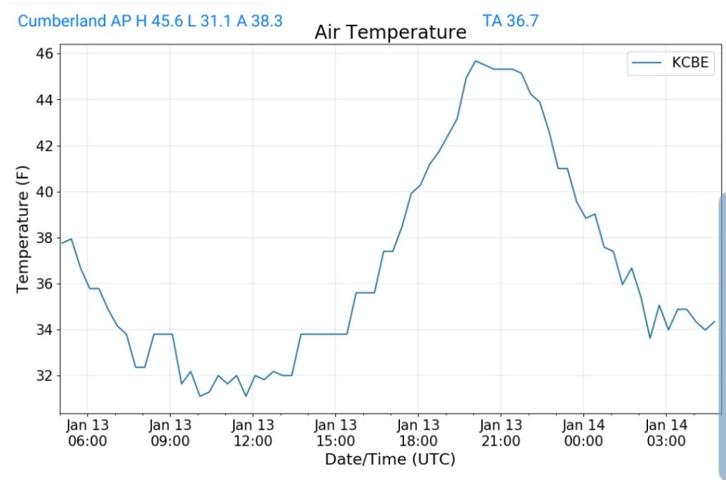
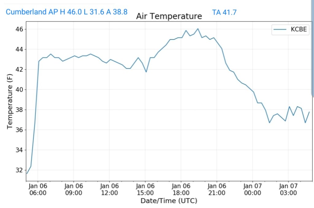
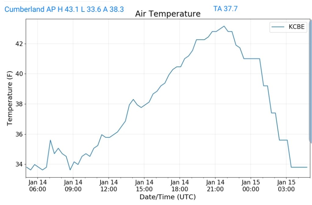
Cumberland Airport
MIN[33.6]—MAX[43.1]—AVERAGE MEAN[38.3]—TRUE AVERAGE[37.7]
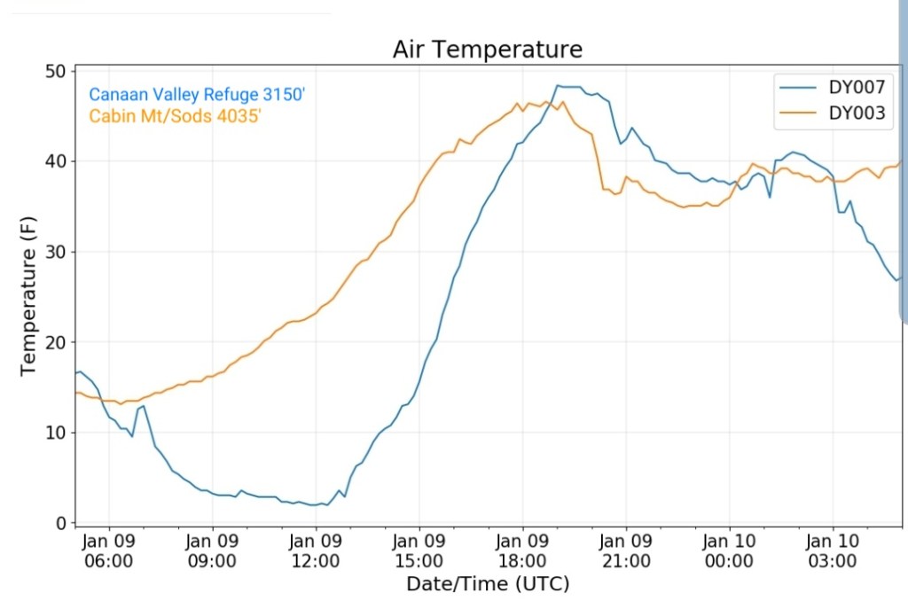
The Valley vs Cabin Mt

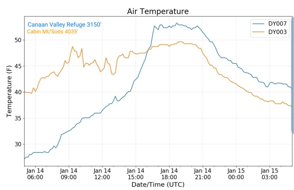
Canaan area temps
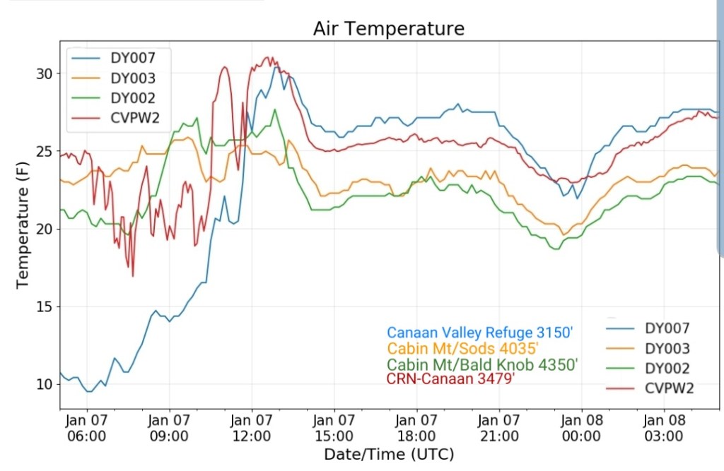
Comparison view


RTMA
Radar
Satellite
Flow
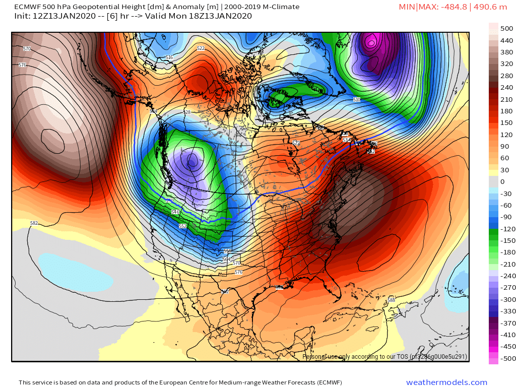
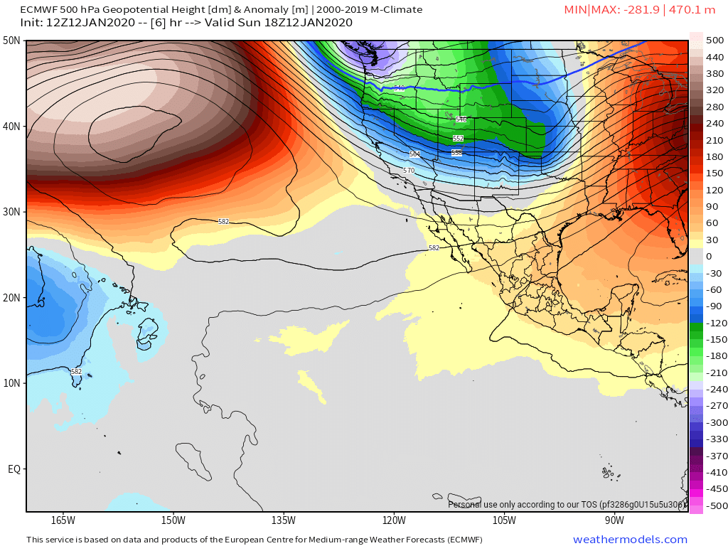
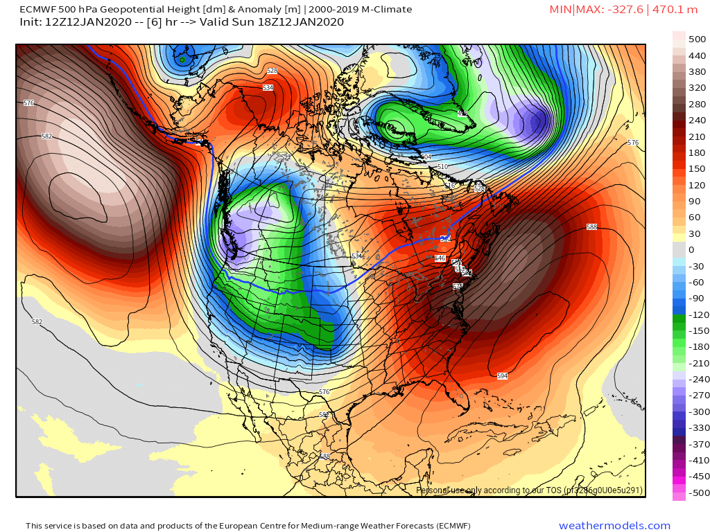
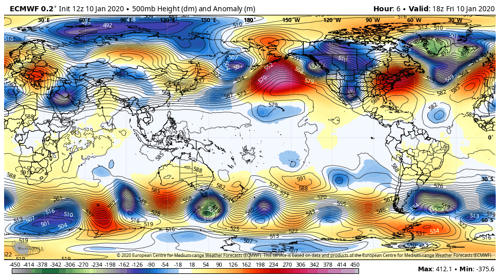
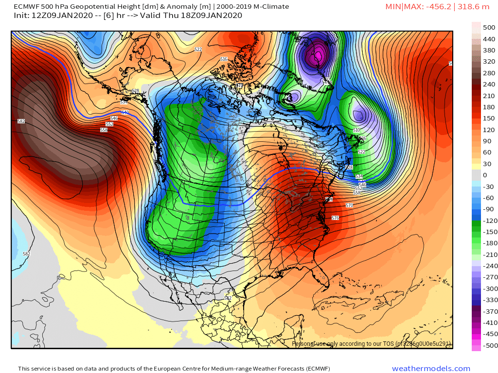
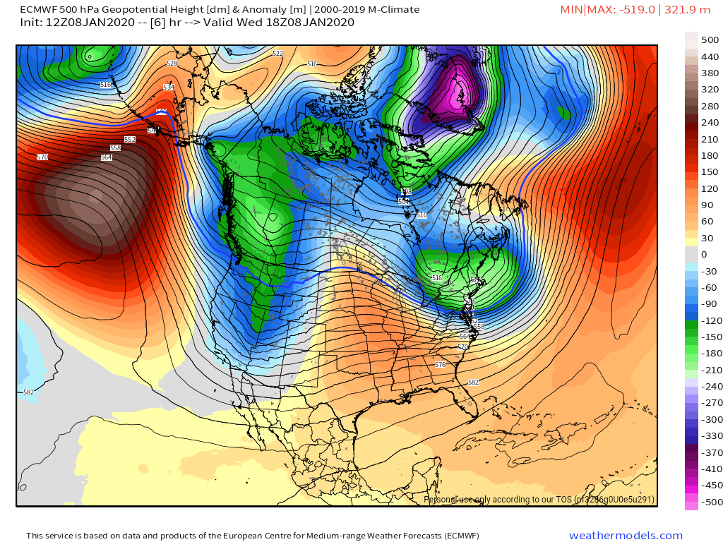
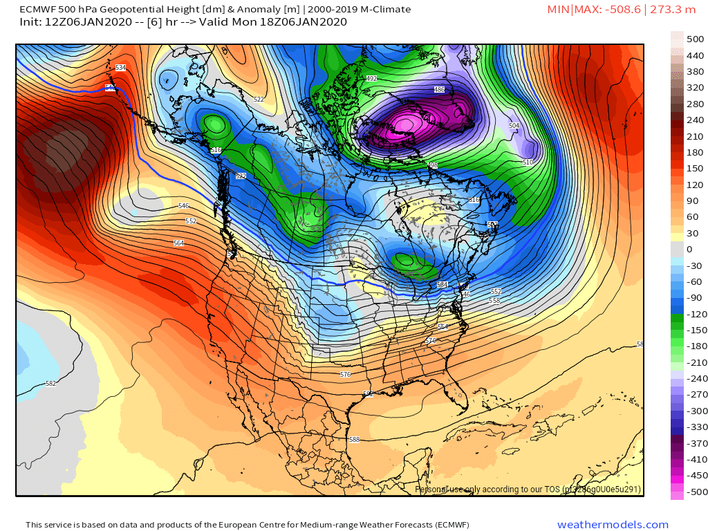
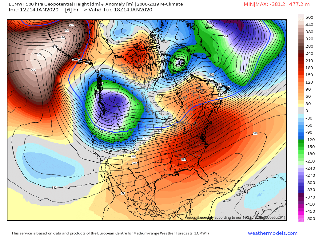
Surface features and 500mb height anomalies and flow
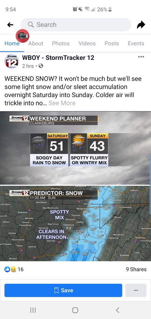
The trend ain’t no friend of mine. ….
Trends….late Friday night, through Sunday a.m. this too shall adjust. Only thoughts on the model trends. Not etched in stone by any means.
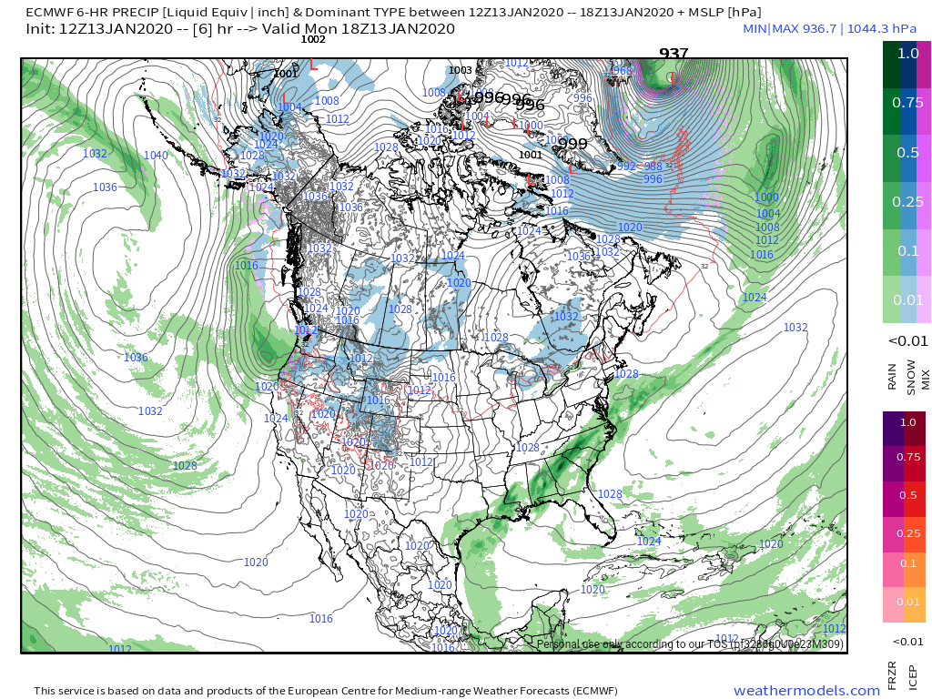
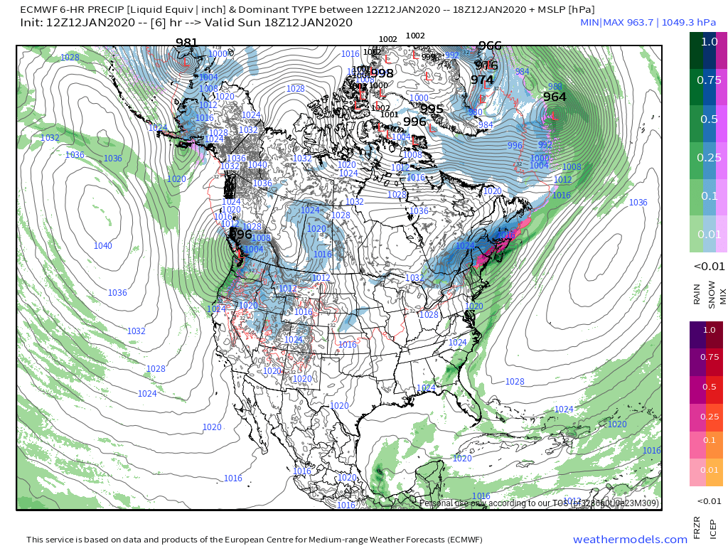
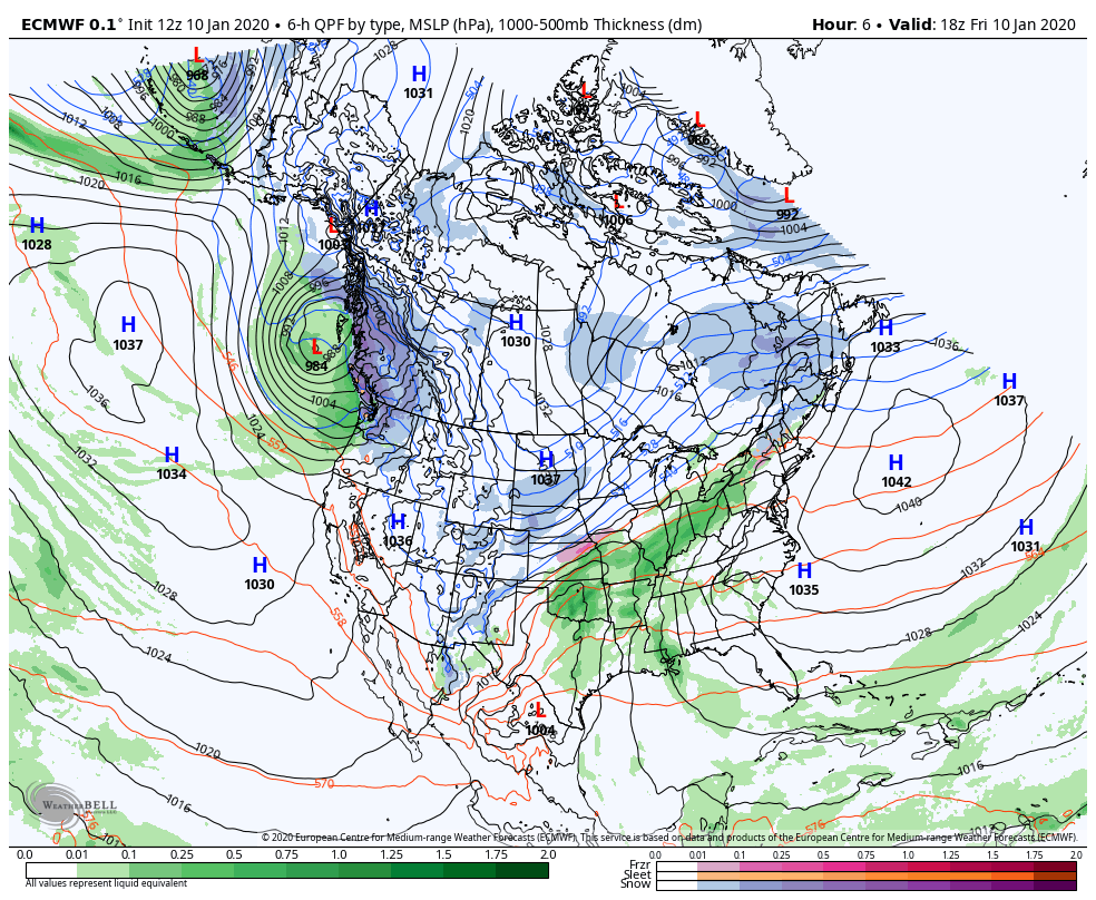
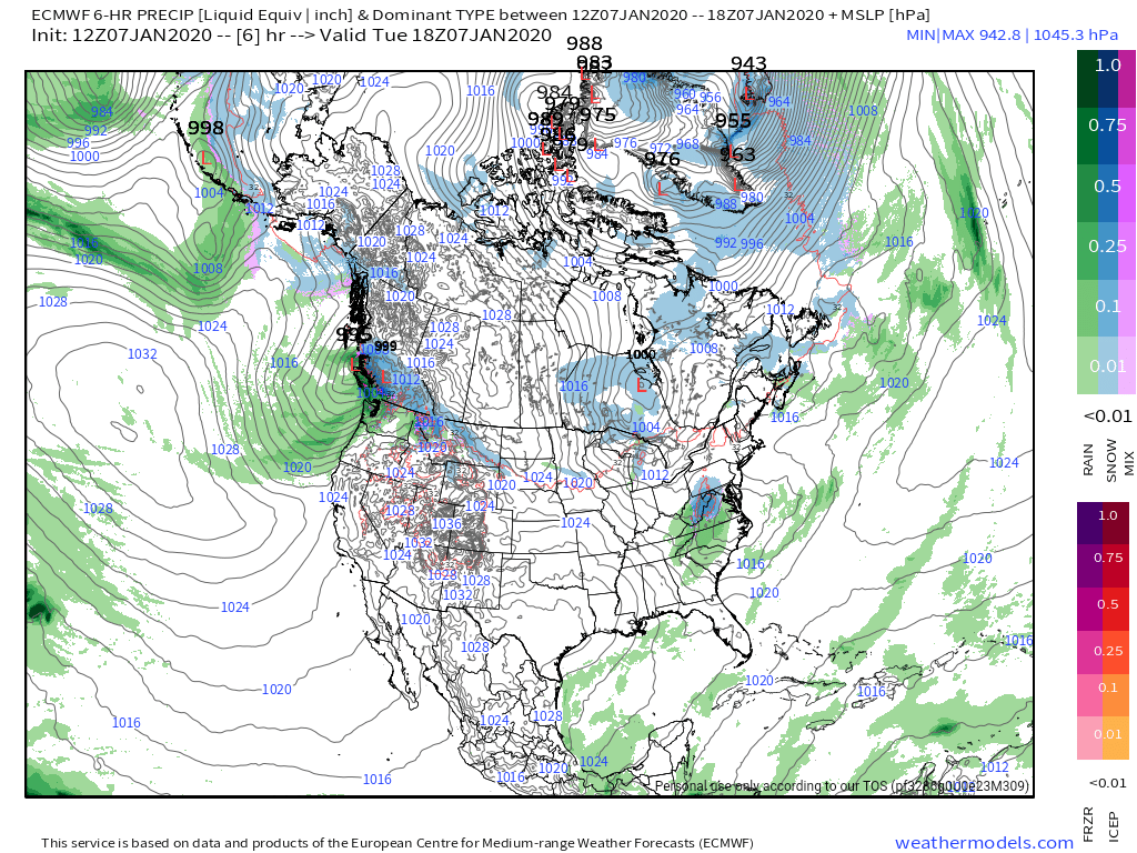
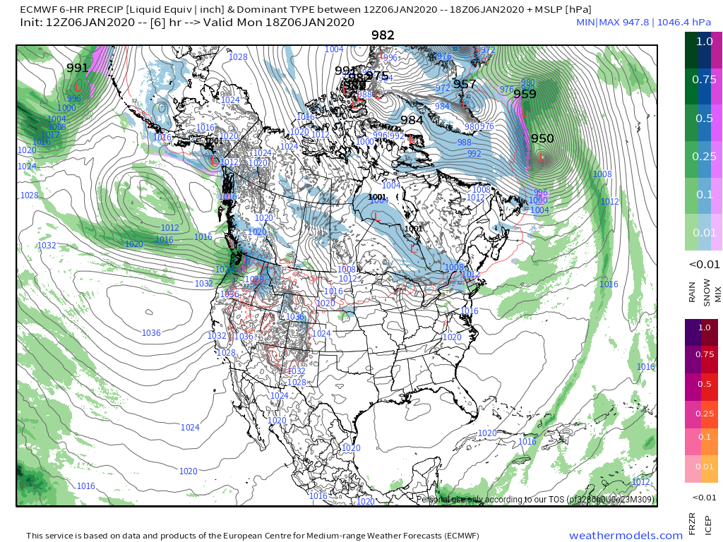
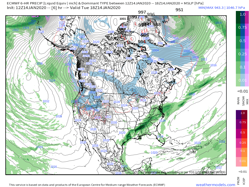
12z ECMWF MSLP/6HR/PRECIP 1/14/20
12z GFS MSLP/6HR/PRECIP 1/14/20
Model agreement yesterday was strong, today is strong as well, but there has been a shift to a bit of warmer air aloft rushing in on both of the major models. If this indeed is the case, that doesn’t bode well for a period of snow lasting long at the onset. Any duration of snow at the onset may be Savage Mt and east, before a changeover to sleet, then freezing rain. Elsewhere it may be very brief snow and rapidly to a mix.
There is a big cold high that is ahead of this system, very cold, dry air mass in place overnight Friday. That’s a big player in low level cold for sleet, freezing rain, even after moving off the coast.
12z ECMWF 2m dewpoints
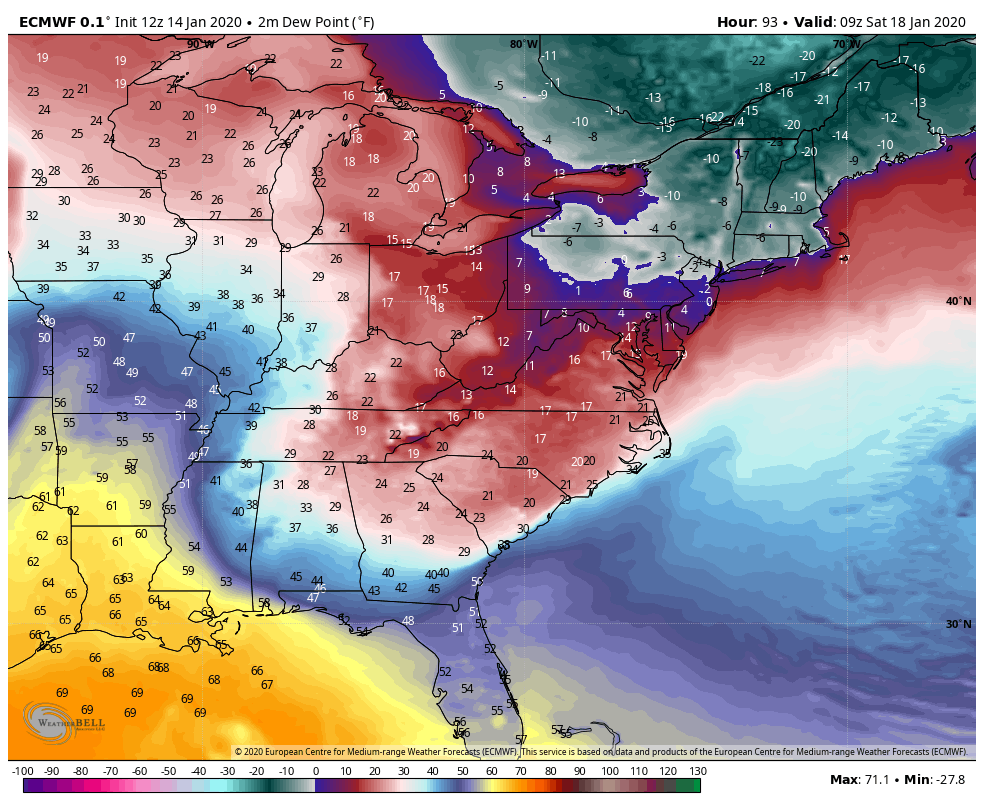
With the low pressure tracking into the lakes, the low level cold air should hold for a good portion of Saturday, with the high off the east coast. The depth of the cold air may allow for a duration of sleet to occur in the central and eastern portions of the Alleghenies before a change to freezing rain, and a period of rain later Saturday before going back over to some snow Sunday morning.
Yesterday the totality of the event, from a precip type boundary, and amounts perspective looked similar to the Nov 15, 2018 event. Not the low position or the 500mb pattern(those are well different) just the surface results looked like it would produce similar results for what we see when all is said and done. Right now, model trends are leaning a touch less snowy, and more of a sleet, freezing rain to rain trend late Saturday with backend snow and turning much colder through Sunday.
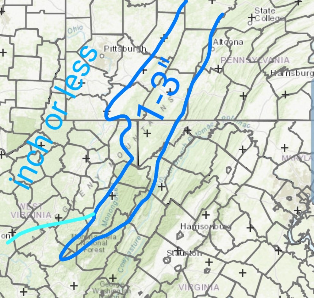
Snow thoughts are looking more 1-3/2-4″ vs 3-6/4-8″ when all is said and done Sunday.
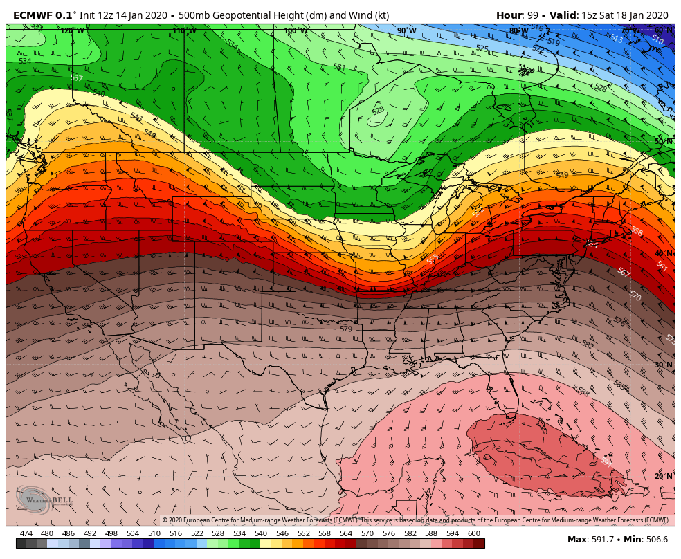
Still fighting the big southeast ridge(image below)with this storm . It will be a fight with the low level cold in place ahead of what’s going on aloft. 591 heights over Florida generally doesn’t bode well for Wv snow. Pa and north, a increase in snow chances increase rapidly in the pattern. So, for now the thoughts are less snowy and more of a mix for the onset and mix to rain in most areas for brunt of the system with some areas holding on to a mix through Saturday and then see what we can catch on the backside as far as snow goes for upslope.
Let’s see if the coming model runs trend colder near term
Long term the SE Ridge breaks down.
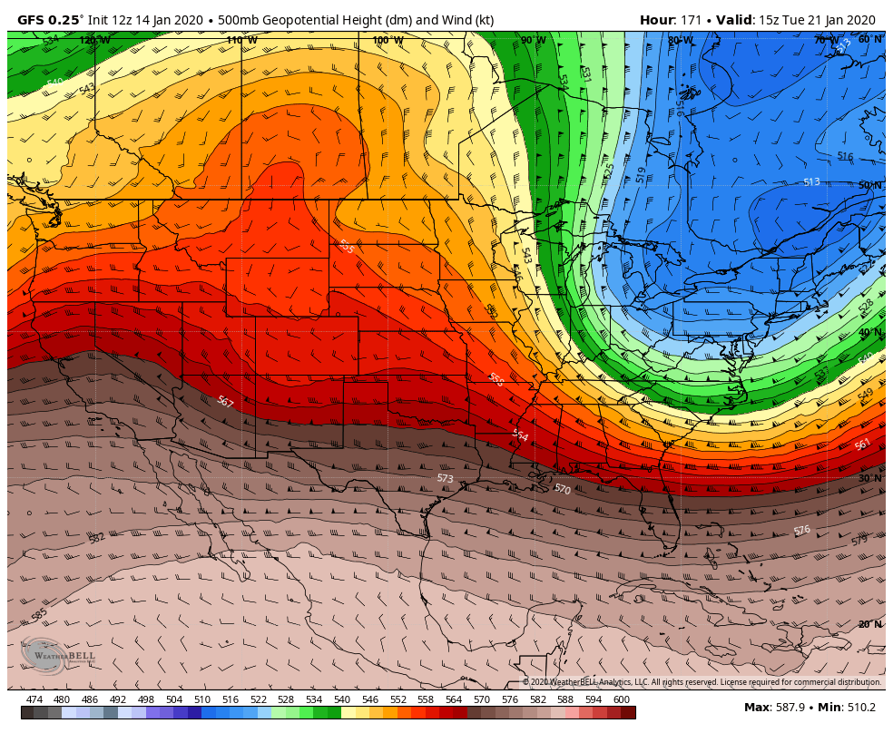
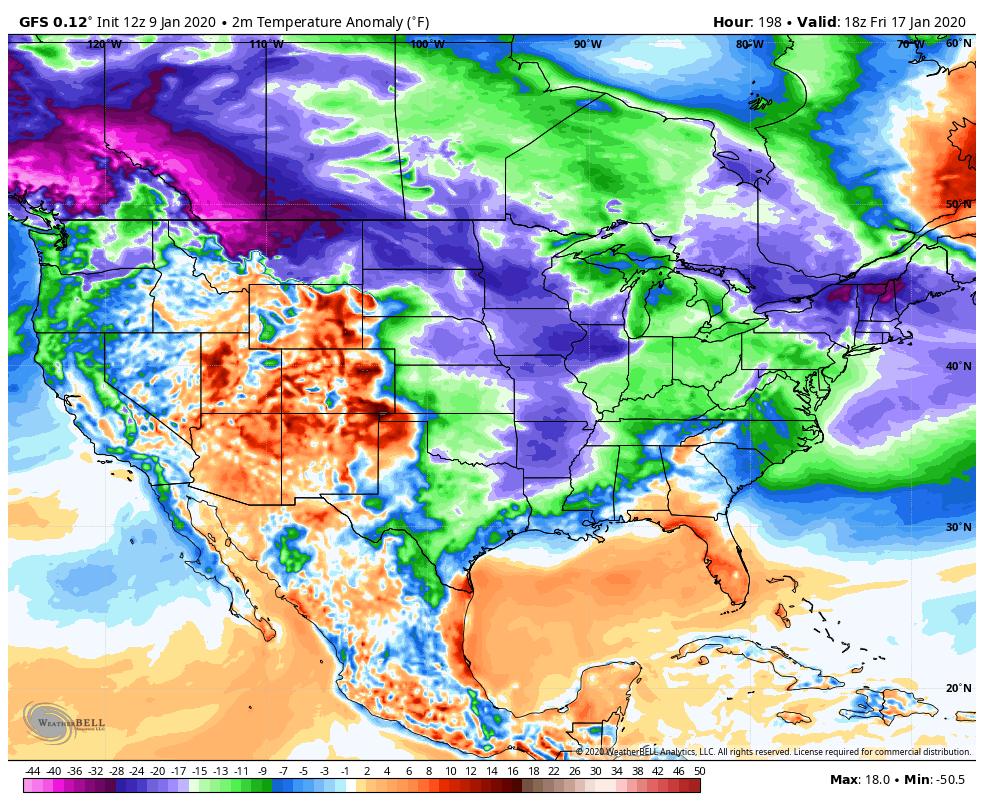
Cold is in place by Sunday
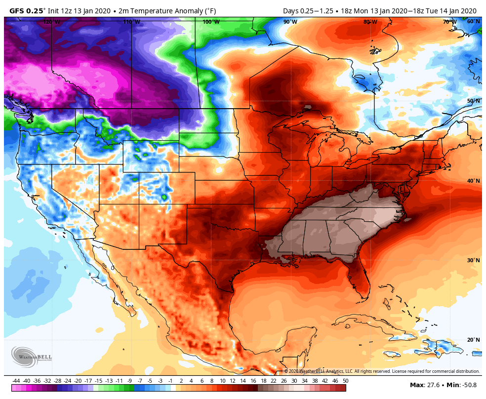
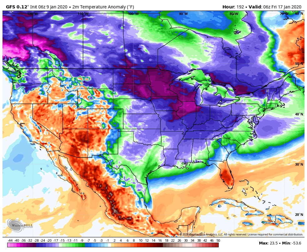
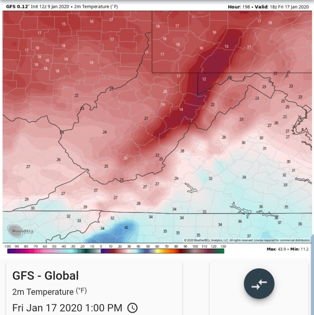
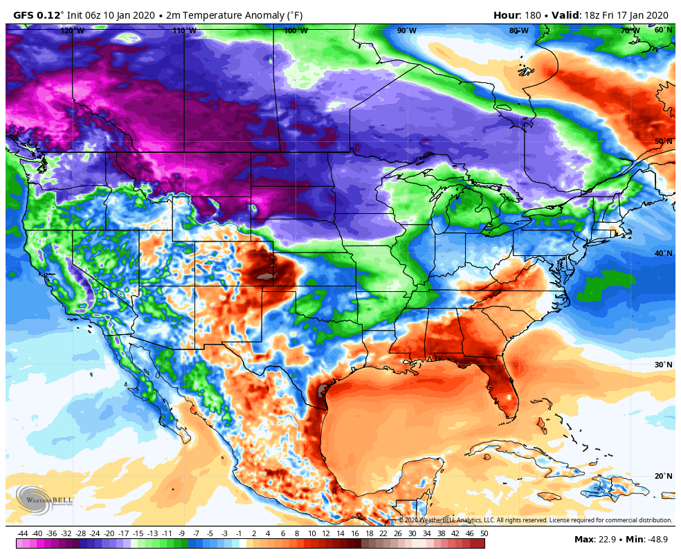
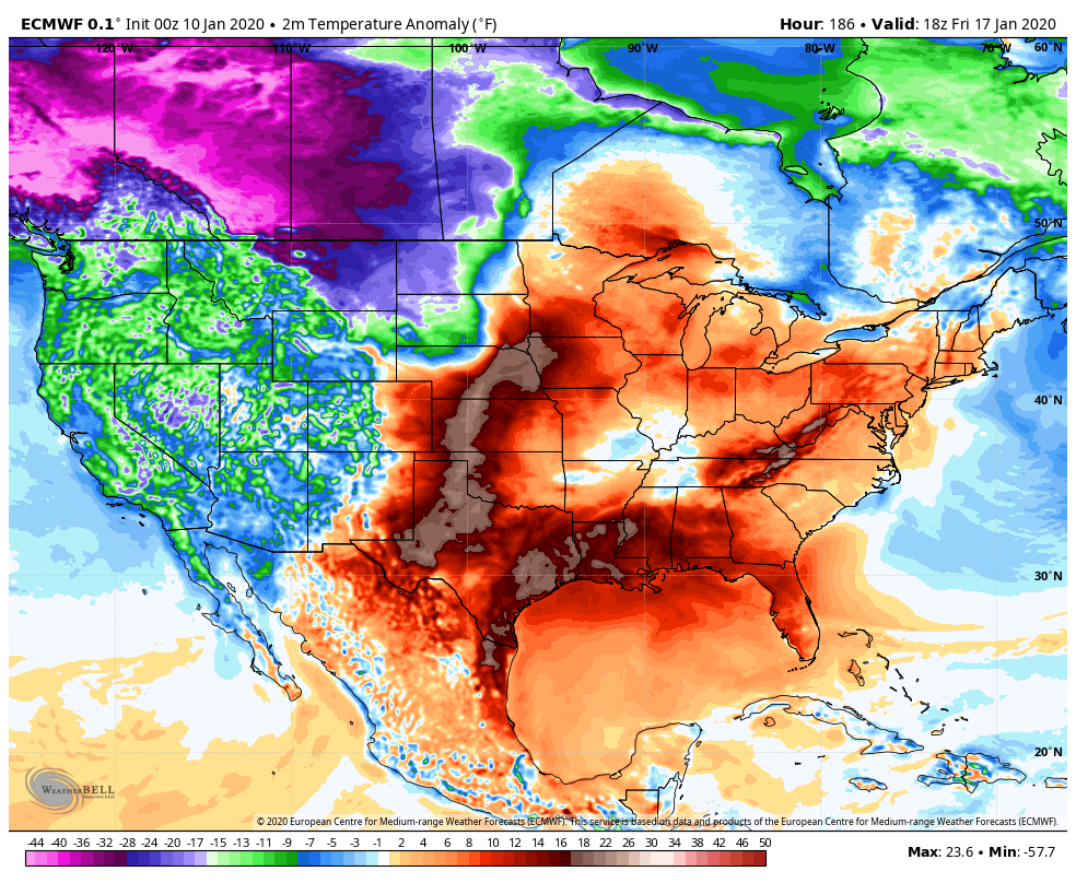
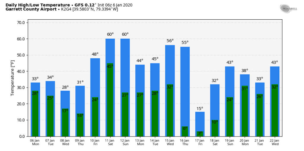
12z GFS 2m temp anomalies
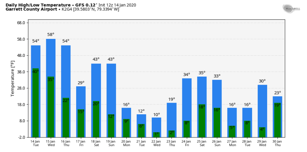
Seasonal to below average looks to heavily outweigh above normal temps going forward.
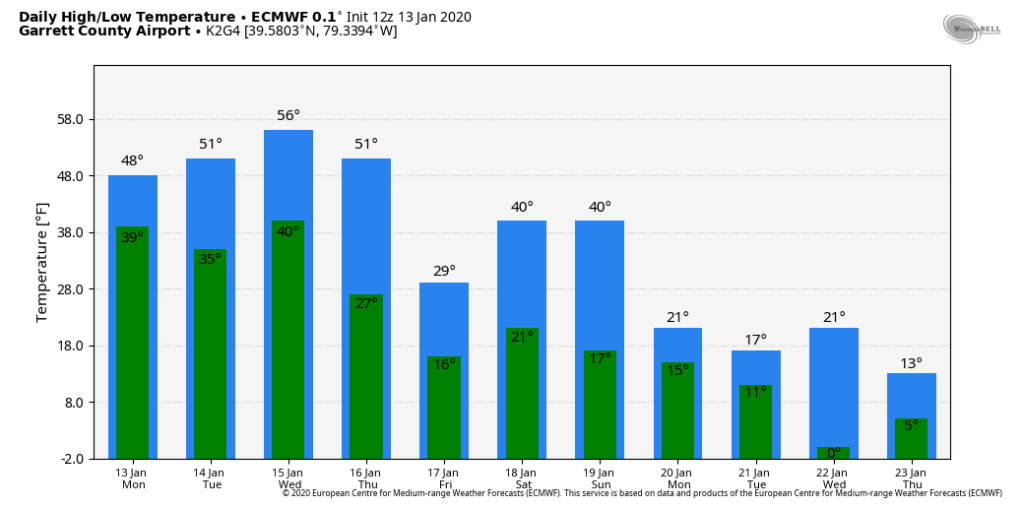
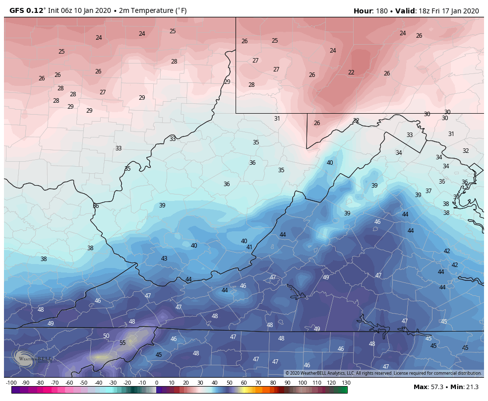
12z GFS 2m temps Garrett County Airport
with the overall colder pattern in place, the question soon will go to can we get a favorable snowy storm track.