May 17. min. max. avg
Bitt 2nw valley 58.8 63.3 61.0
Garrett College 59.8 64.5 62.2
Can-Heights 56.9 59.5 58.2
CRN-Canaan 57.8 60.5 59.1
Cabin Mt 54.3 56.7 55.5
Cabin Mt north no data no
Spruce Knob 53.8 56.8 55.3
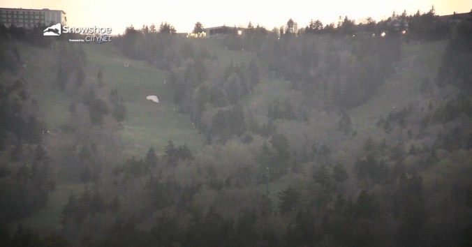
Snowshoe/S.C 55.0 58.6 56.8
Can-Valley Floor
Green Bank Obs 59.8 65.0 62.4
7Springs 60.6 70.0 65.3
Rainy, cloudy, some fog..near steady temps
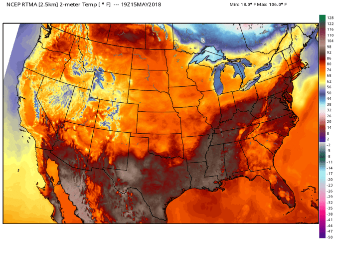
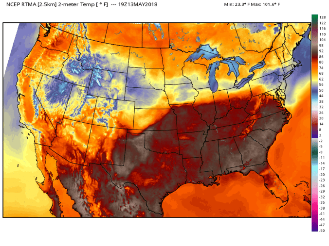
Temp profile


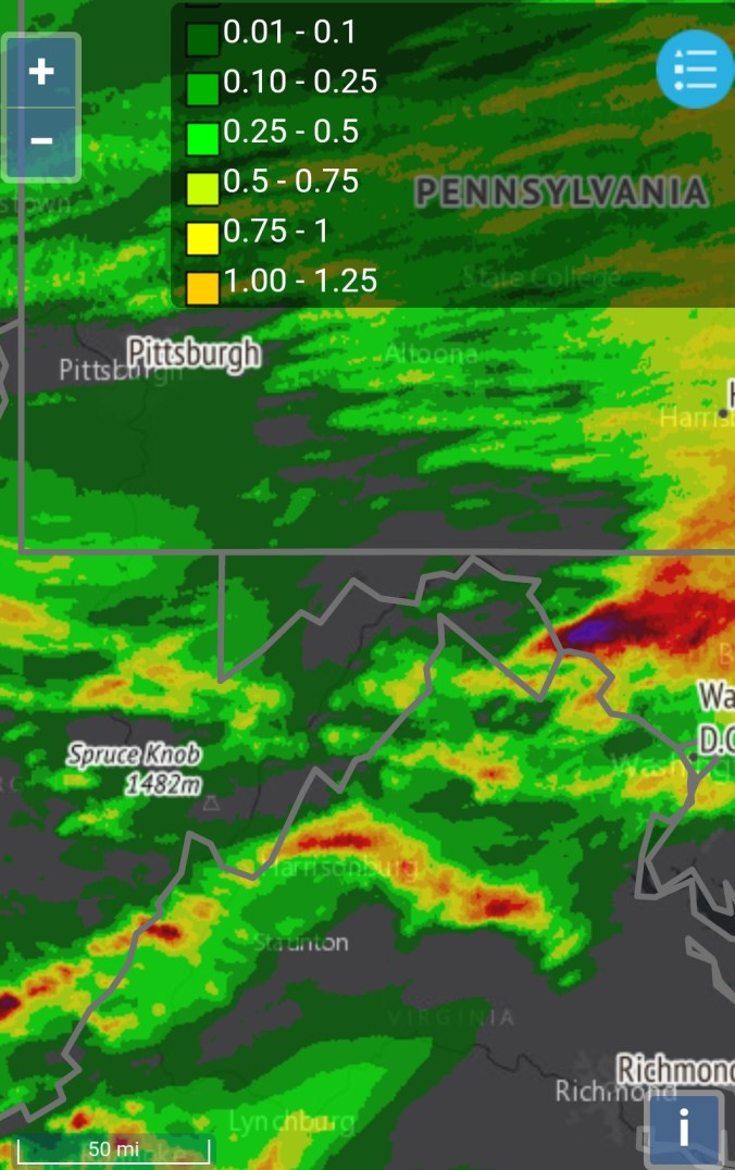
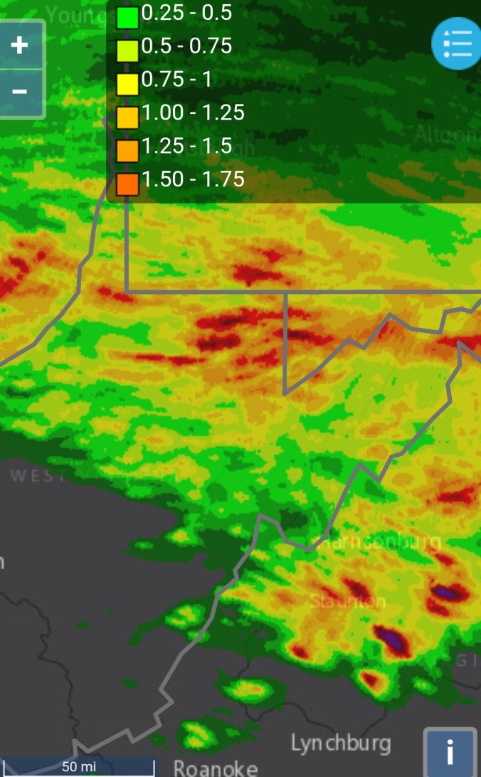
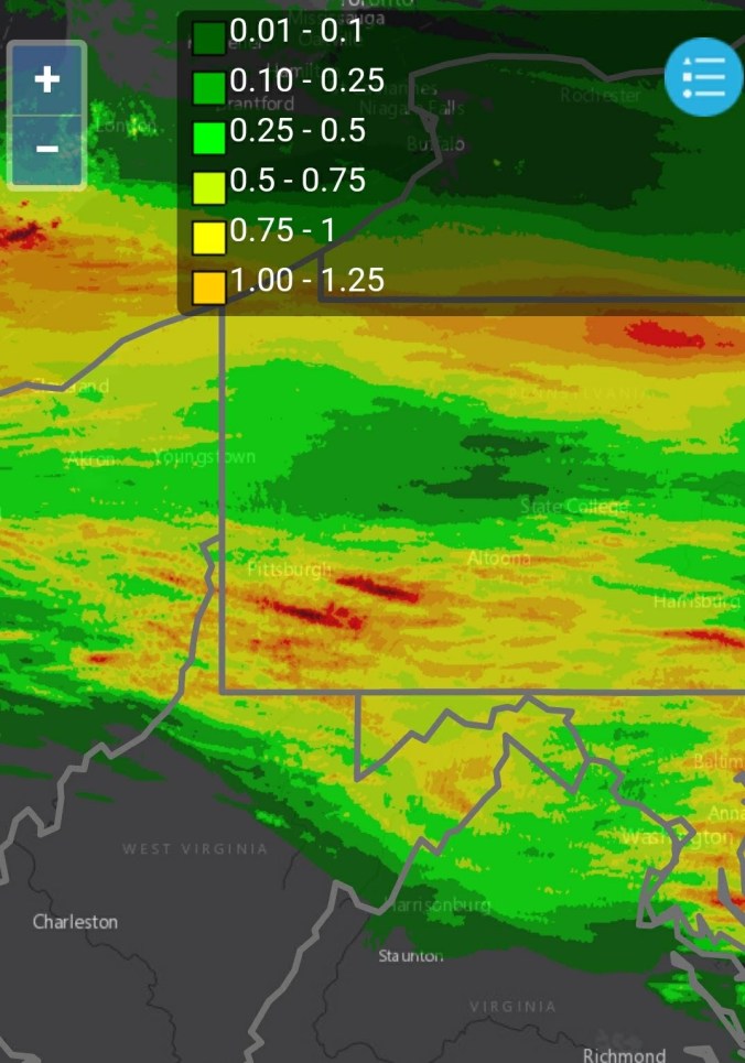
Radar
Precip totals today range from .5 north to nearly 2″ in some Wv locations.