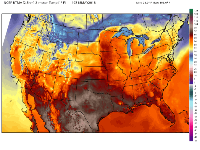
May 27. min. max. avg
Bitt 2nw valley 60.7 76.2 68.4
Garrett College 62.2 77.5 69.8
Can-Heights 61.1 76.0 68.6
CRN-Canaan 60.9 75.0 67.9
Cabin Mt 59.2 73.0 66.1
Cabin Mt north no data no
Spruce Knob 57.4 70.9 64.2
Snowshoe/S.C. 59.5 69.3 64.3
Can-Valley Floor
Green Bank Obs 62.4 79.5 70.9
7Springs 63.8 78.2 70.9
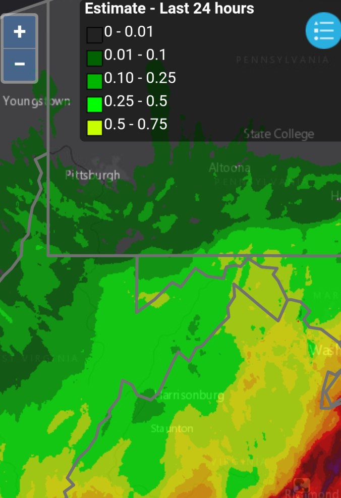
Clouds, wet very early to partly cloudy to clouding back up and scattered downpours. More so Savage Mt and east. The most catastrophic flooding rains today occured east in Ellicot City just west of Baltimore. Few pics in video of gauges on Patapsco River.
Temp profile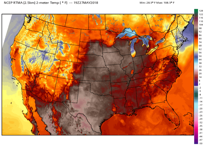
Radar today
Radar from the flooding there on 7/30/16