December 5, 2019′
Dec 5(Thurs)
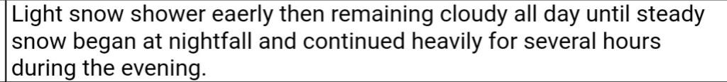
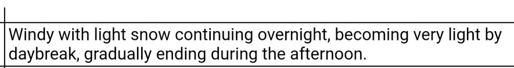
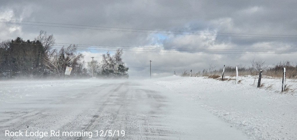
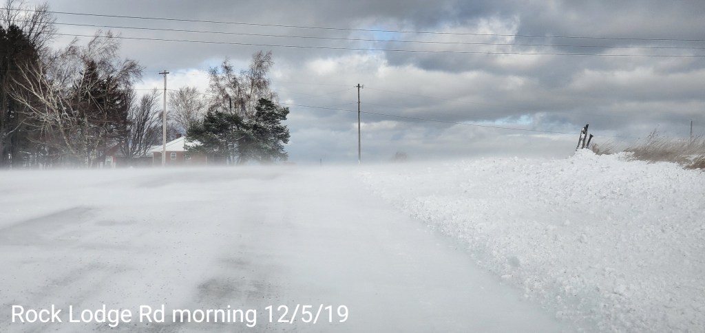
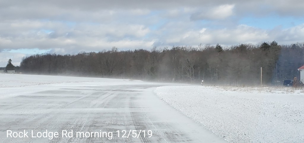
The day began with lingering snow showers, windy conditions, drifting of the newly fallen snow. Clouds began to break in the morning to allow for some sunny intervals the remainder of the day.
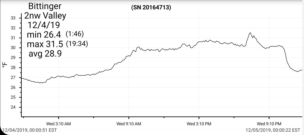
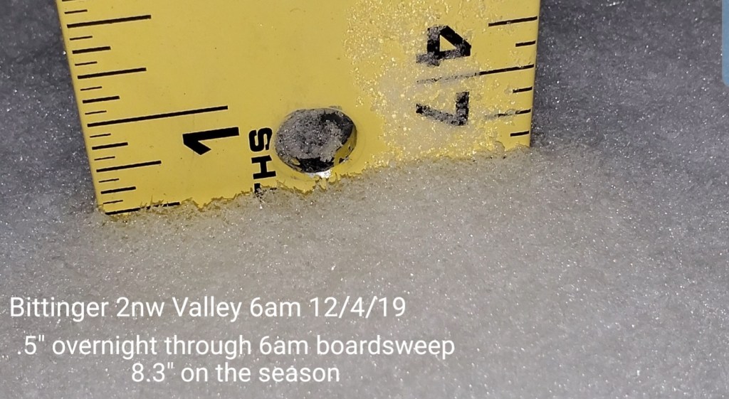
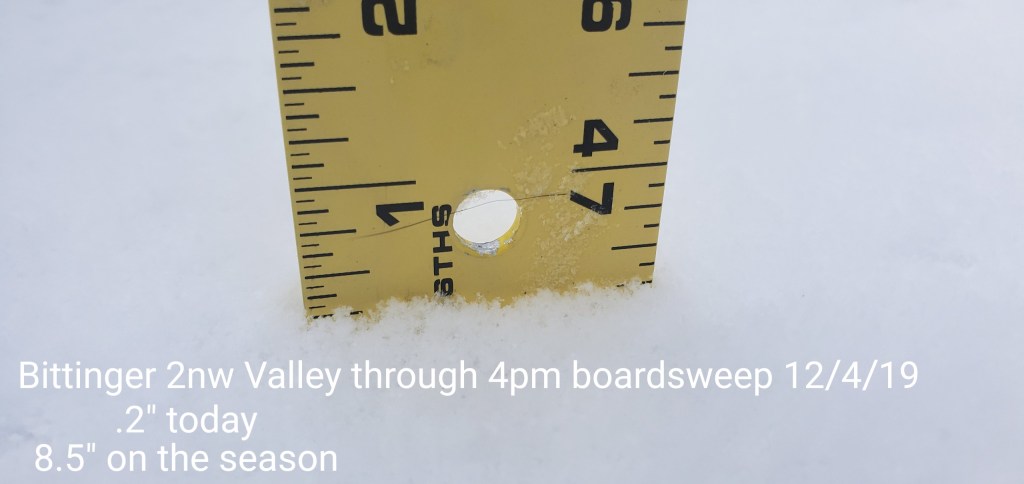
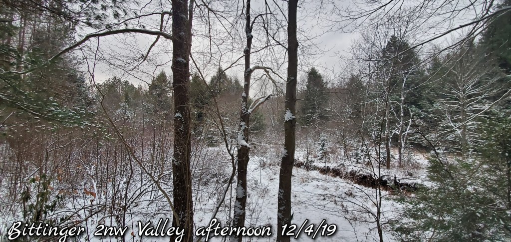
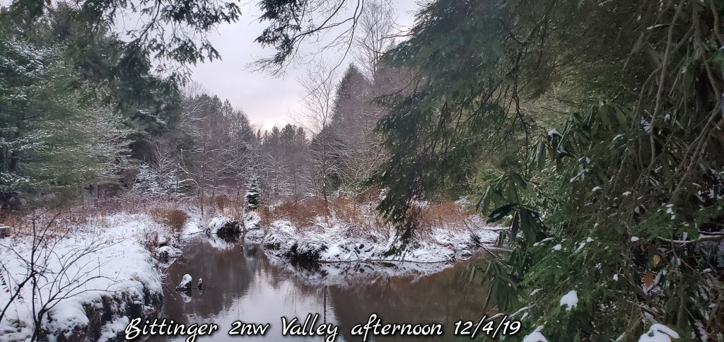
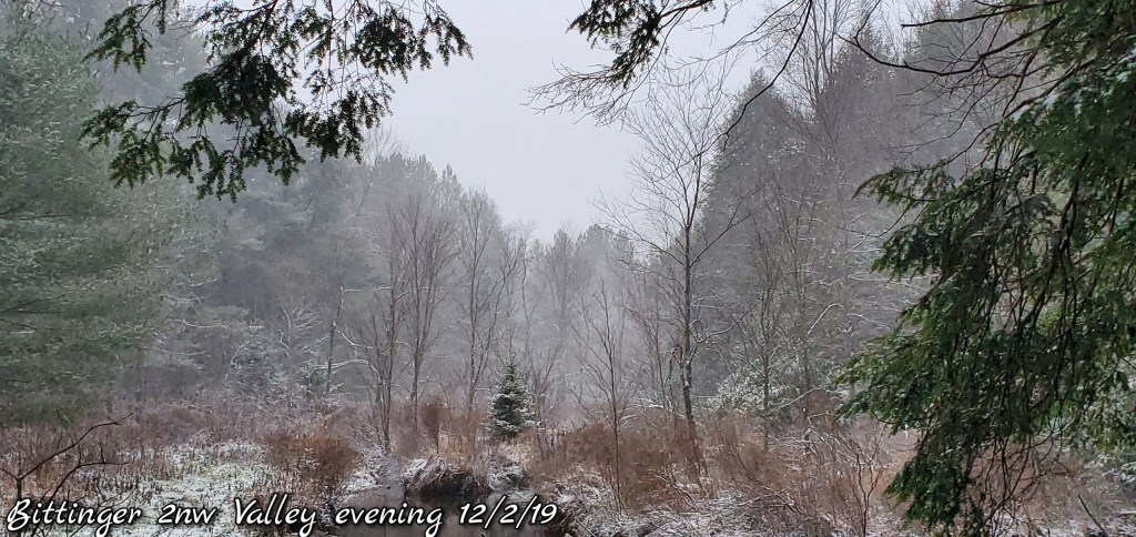
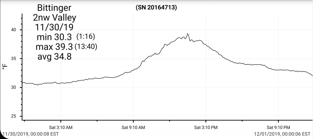
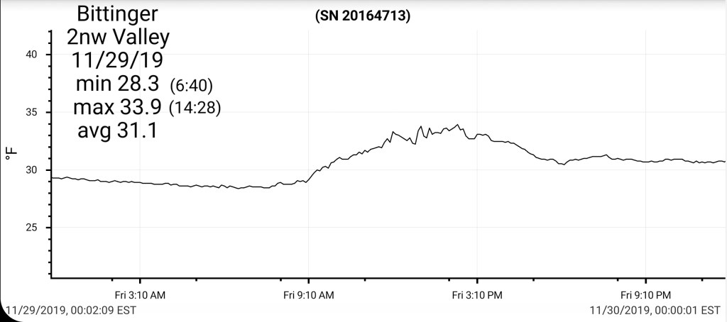
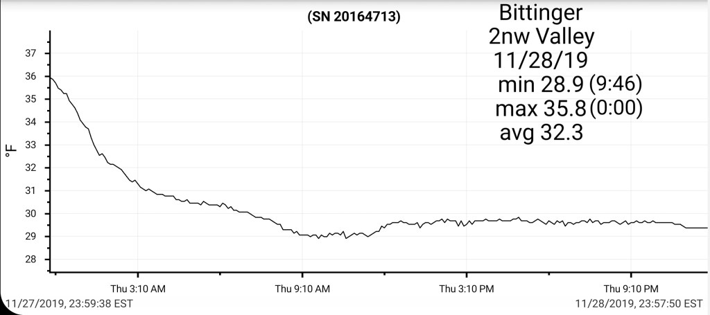
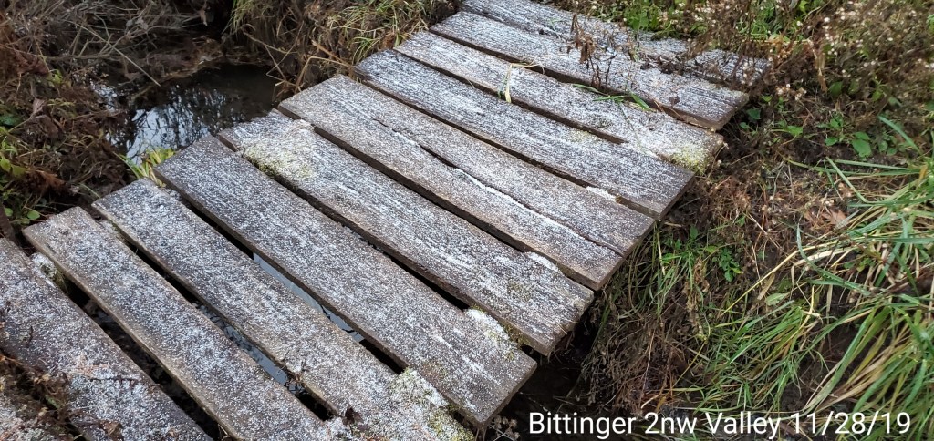
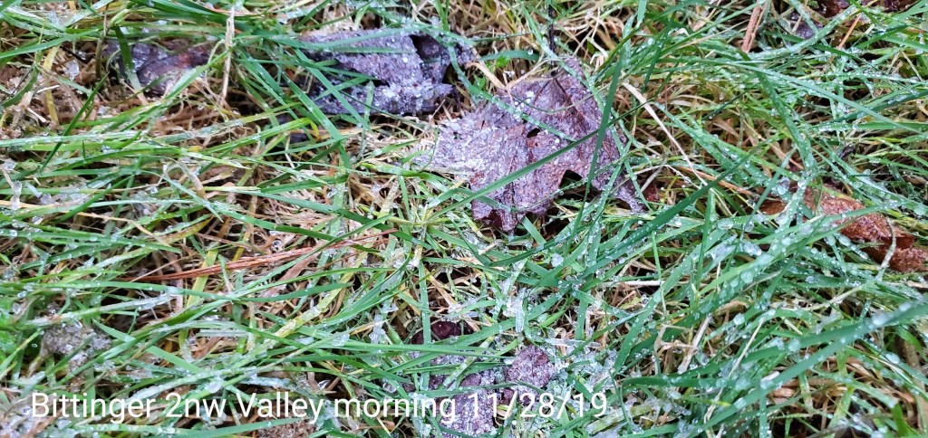
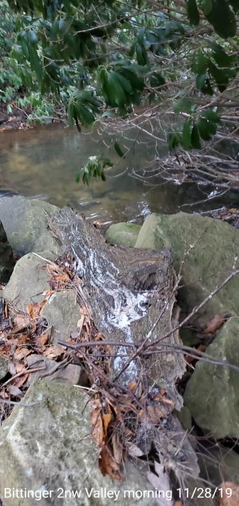
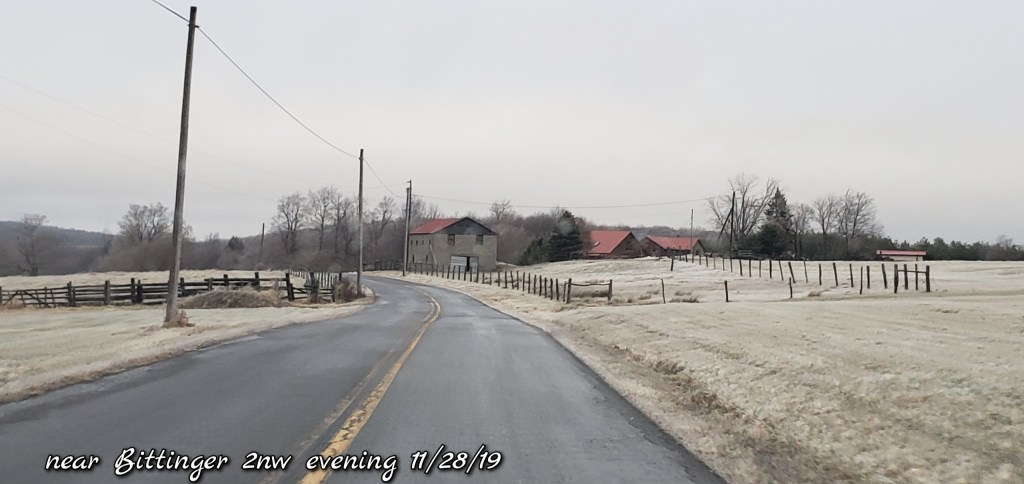
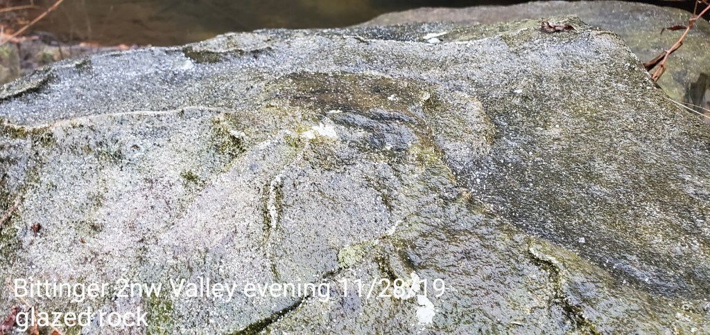
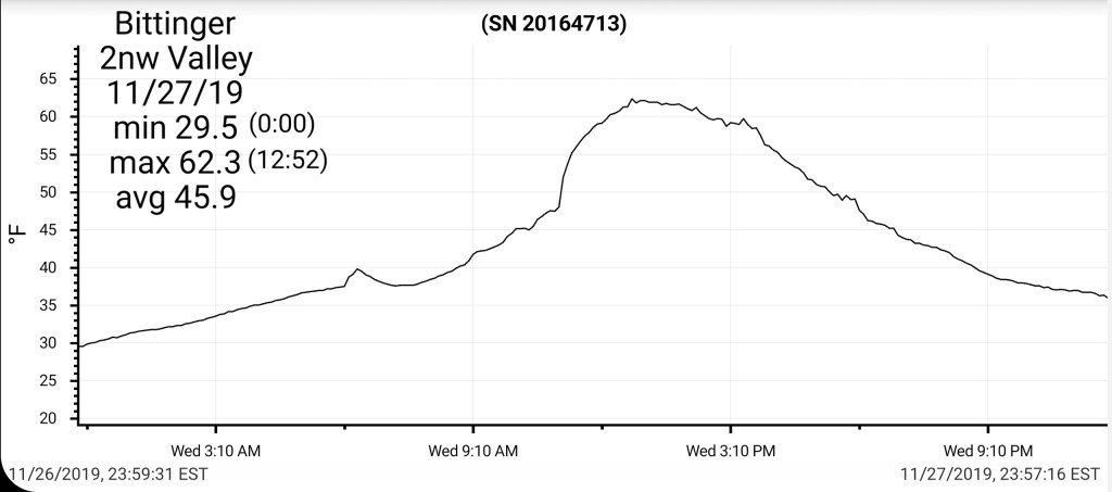
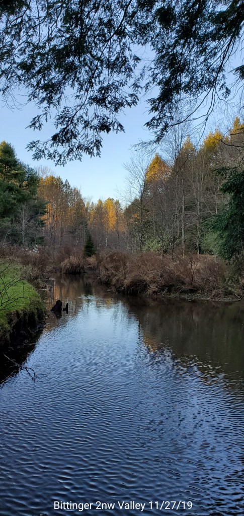
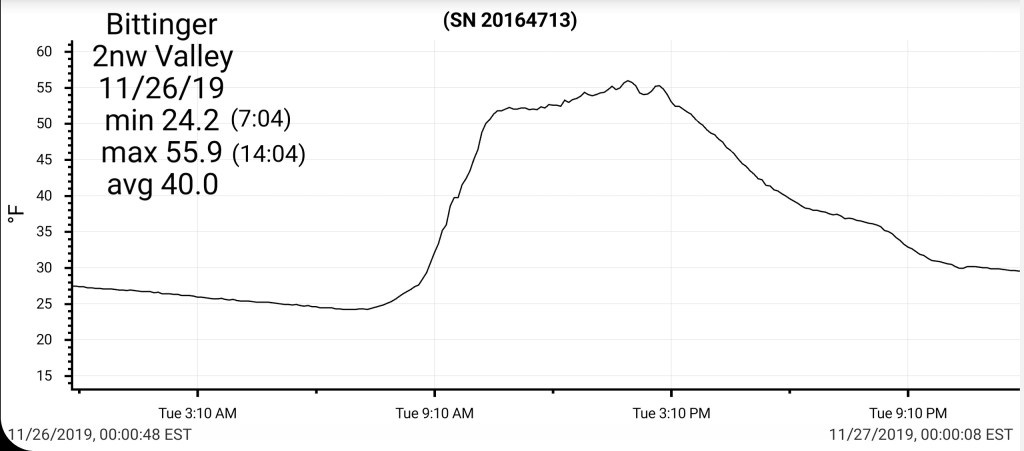
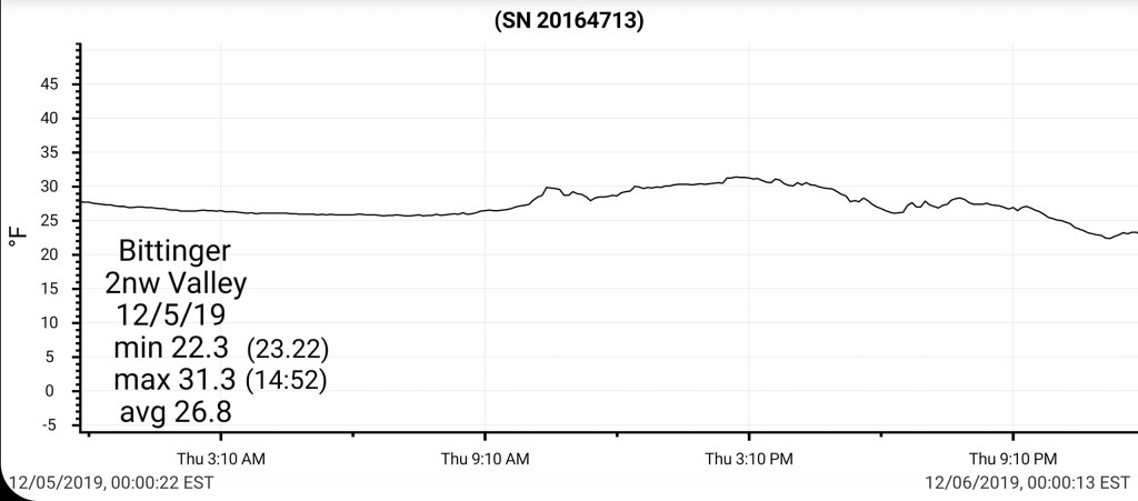
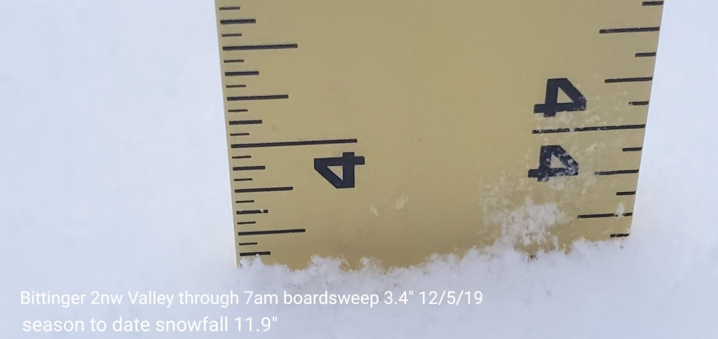
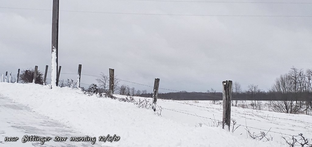
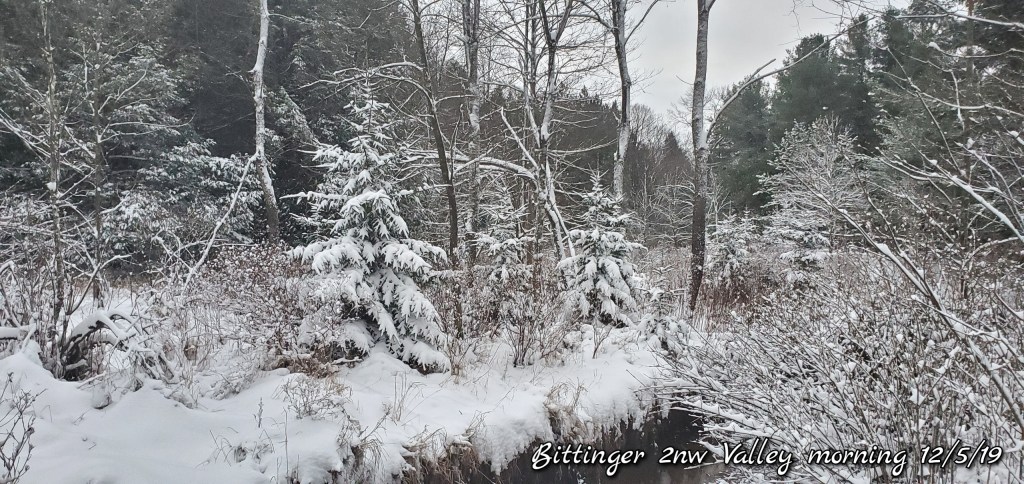
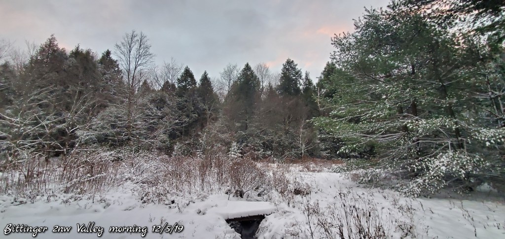
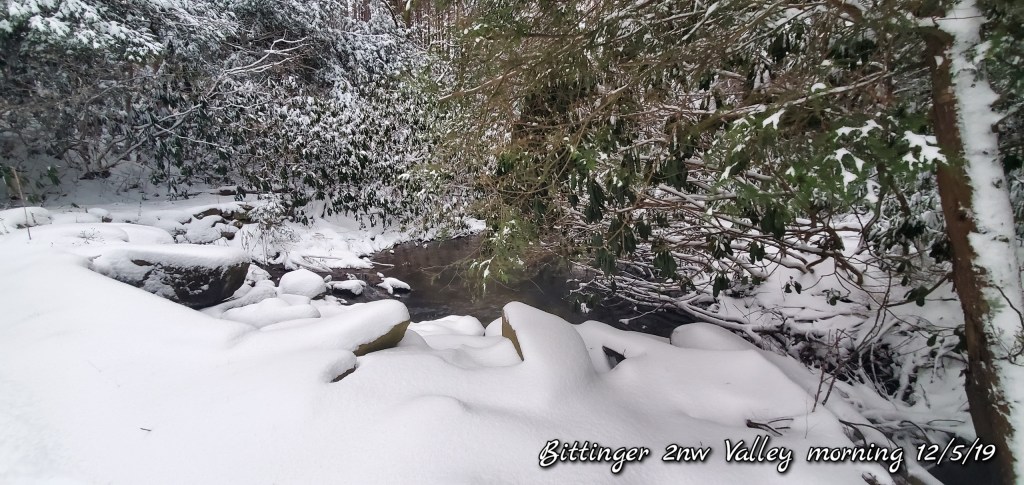
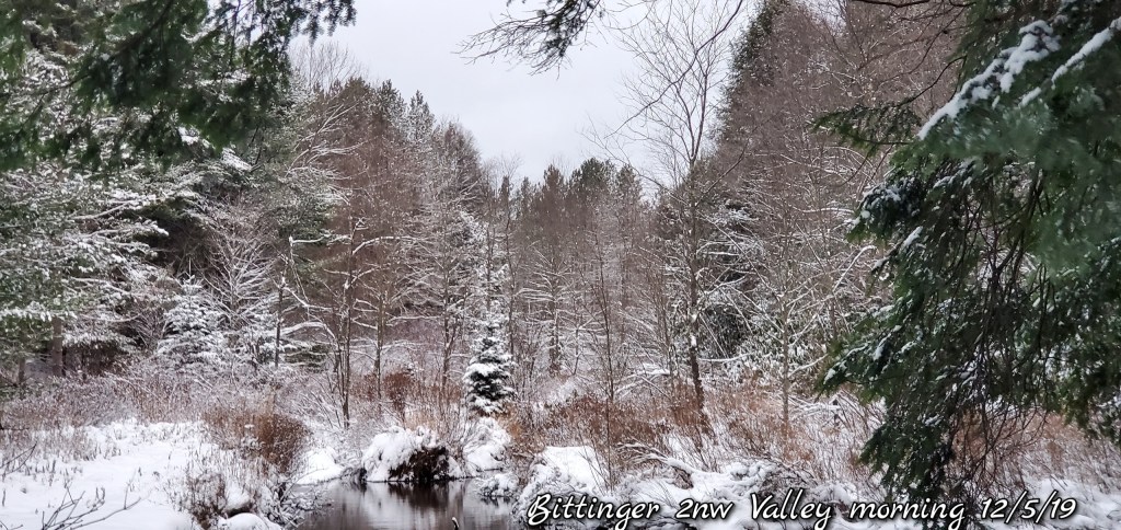
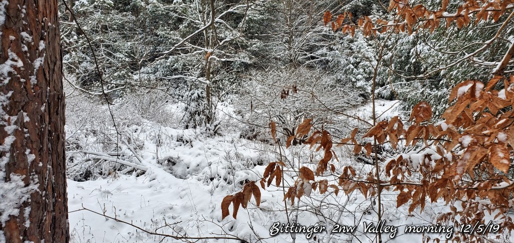
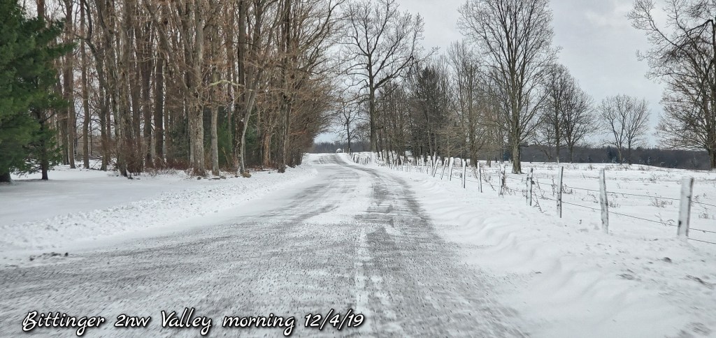
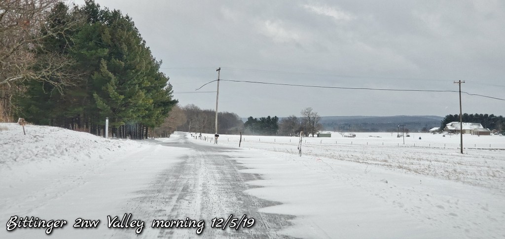
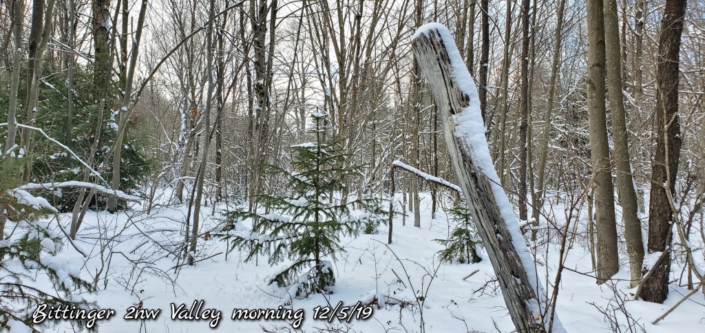
Bittinger 2nw Valley
MIN[22.3]—MAX[31.3]—AVG[26.8]—PRECIP[.09]
Snowfall- 3.4″ overnight through the 7am boardsweep with no additional accu.
7am depth 5.3″
Snowfall season to date 11.9″

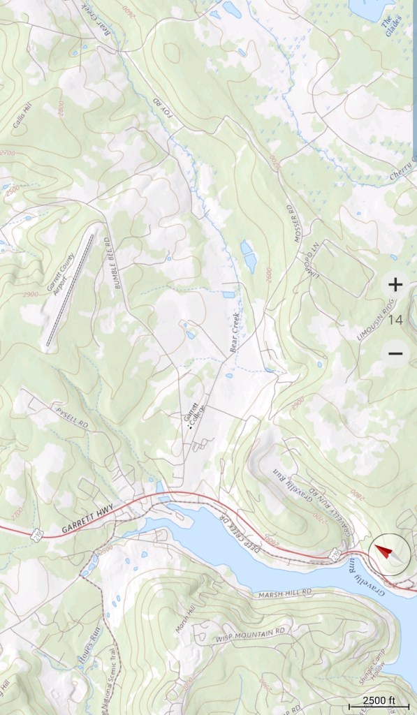
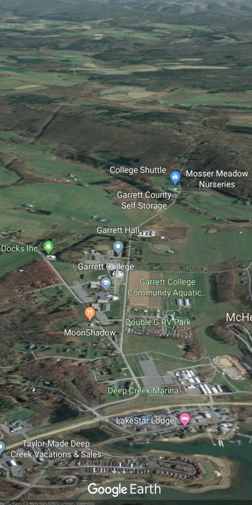
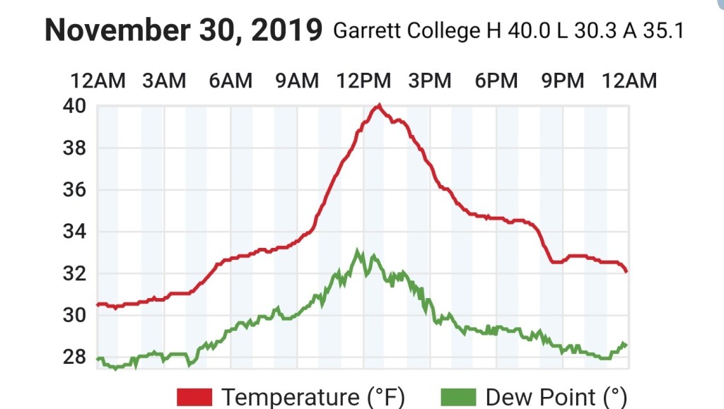
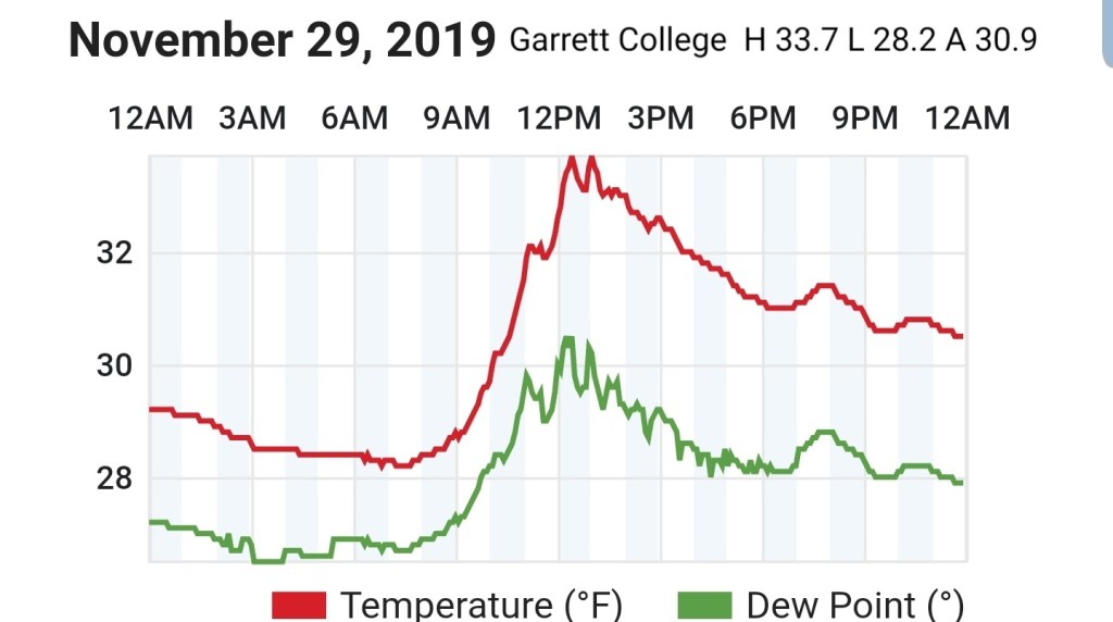
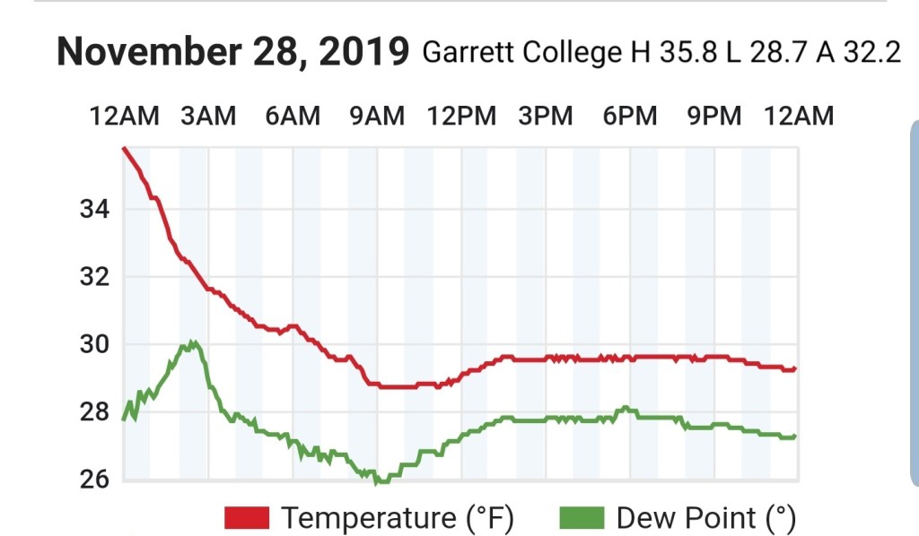
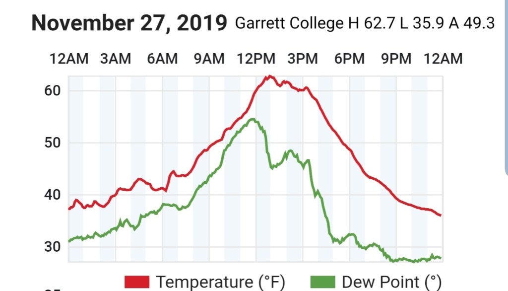
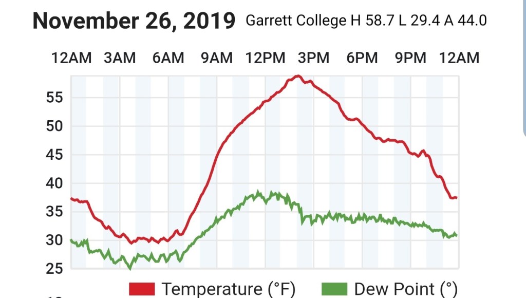
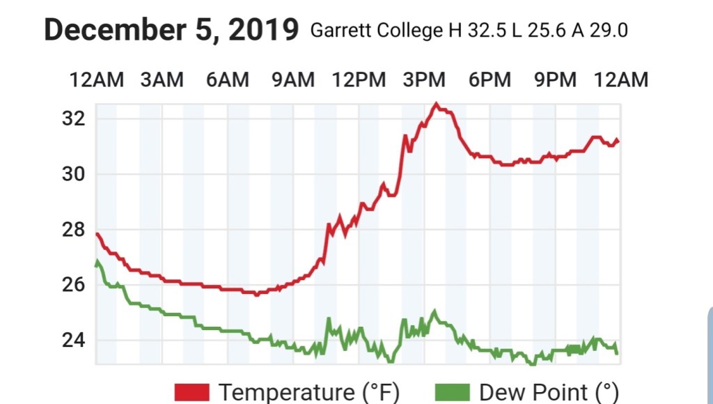
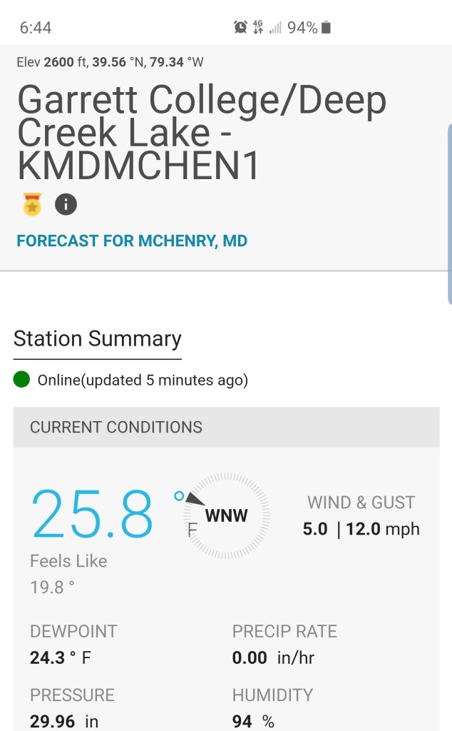
Garrett College
MIN[25.6]—MAX[32.5]—AVG[29.0]—PRECIP[F]
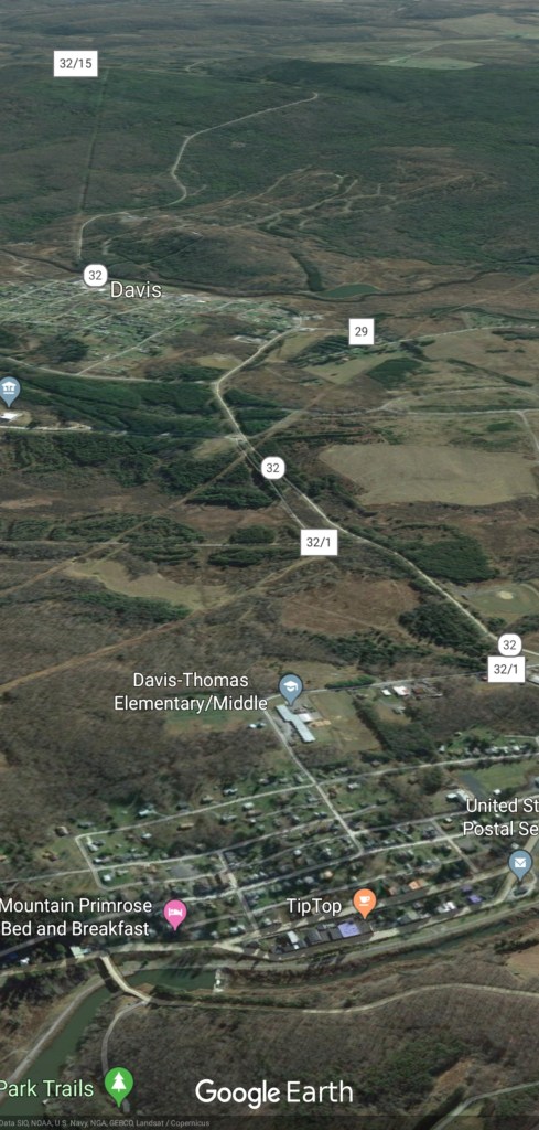
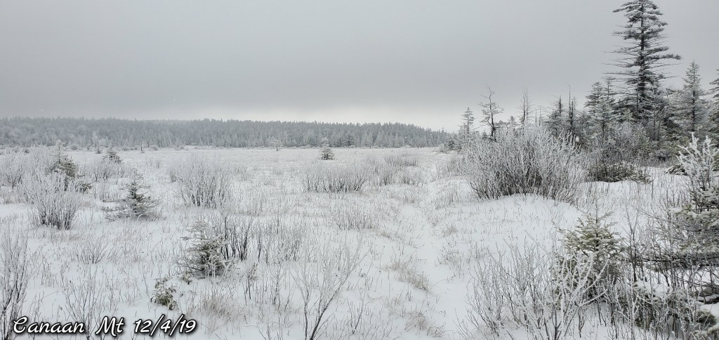
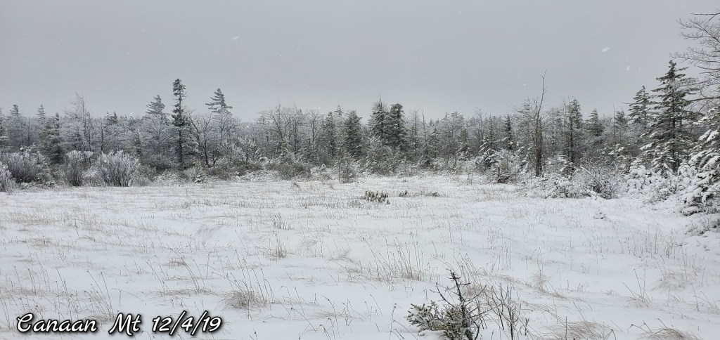
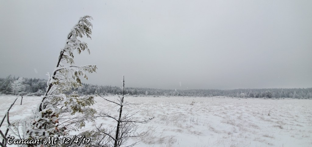
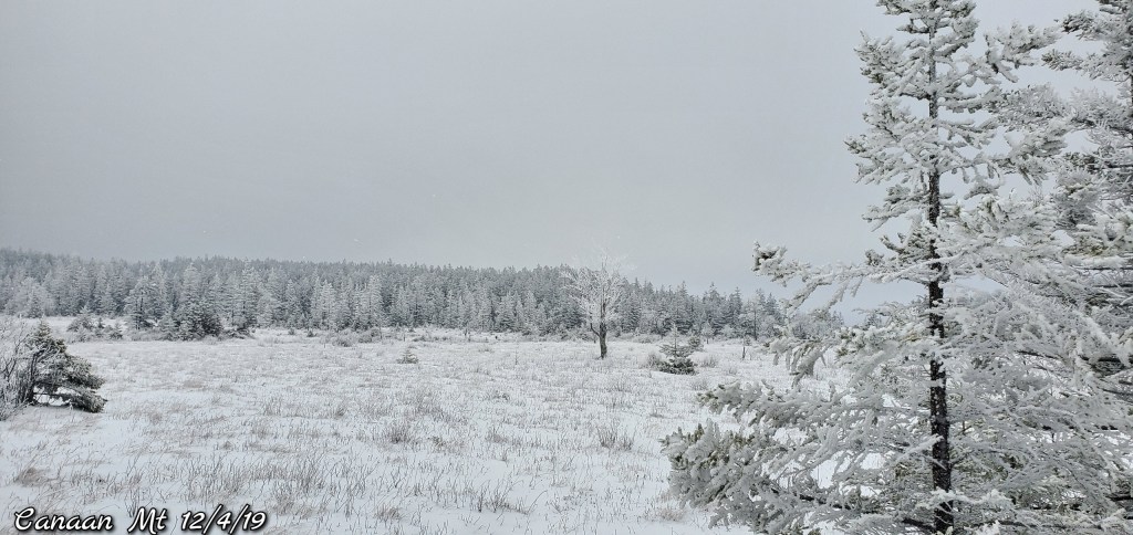
Canaan Heights/Davis 3SE
MIN[21.0]—MAX[28.0]—AVG[24.5]—PRECIP[.22]7am
Event snowfall 4.4″ from 7am yesterday through 7am today
Snowfall season to date 19.2″
Comments by Dave Lesher
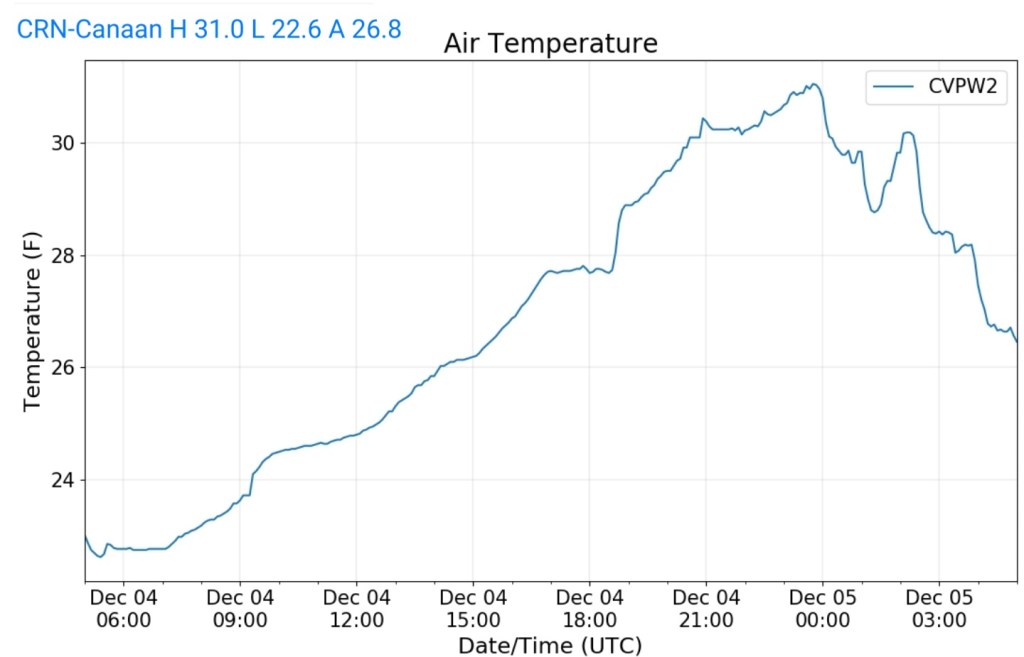
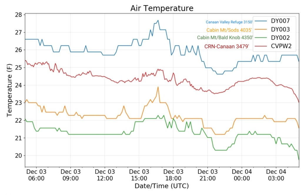
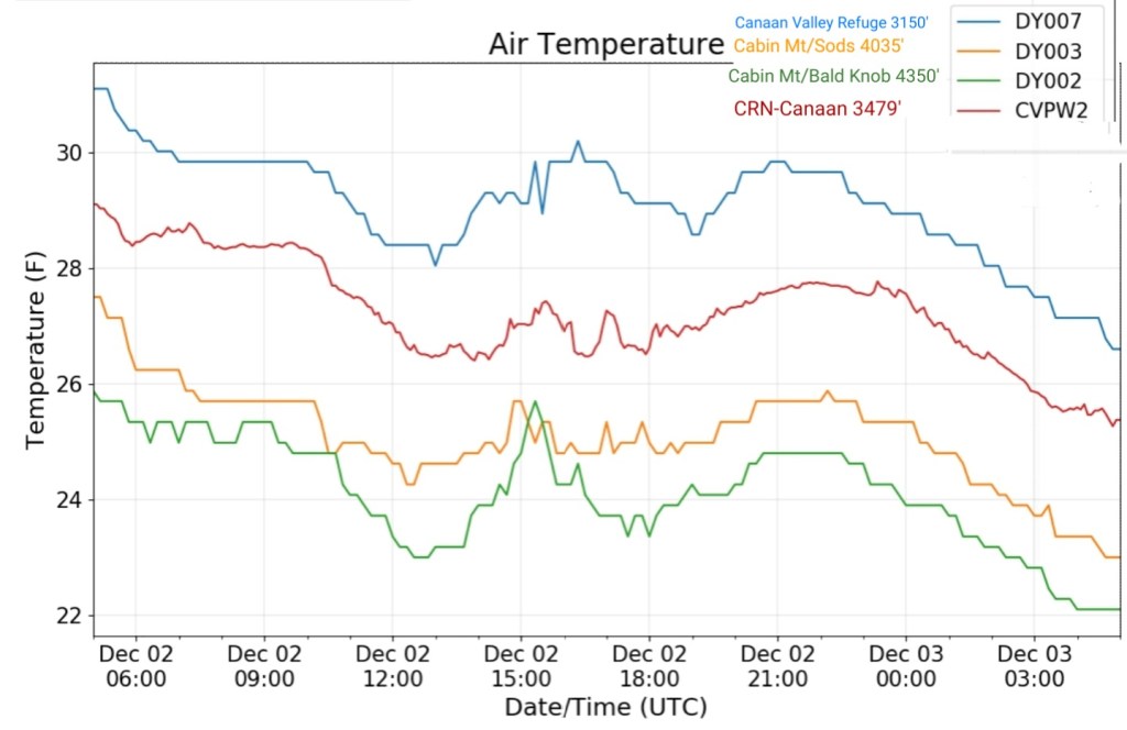
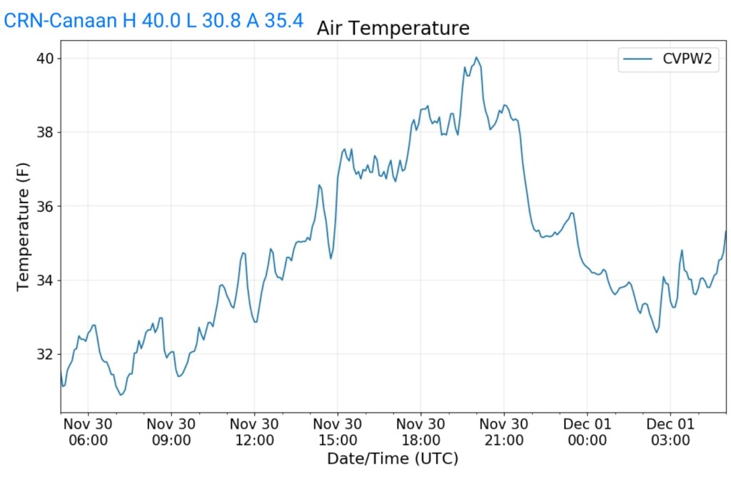
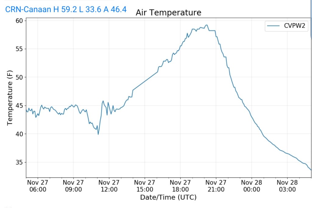
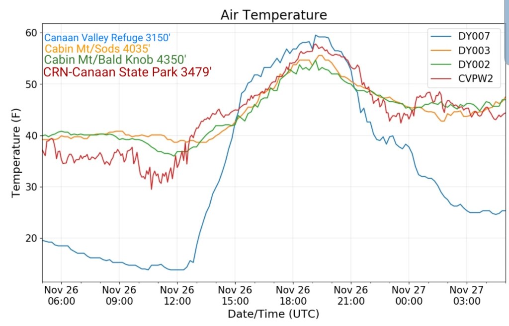
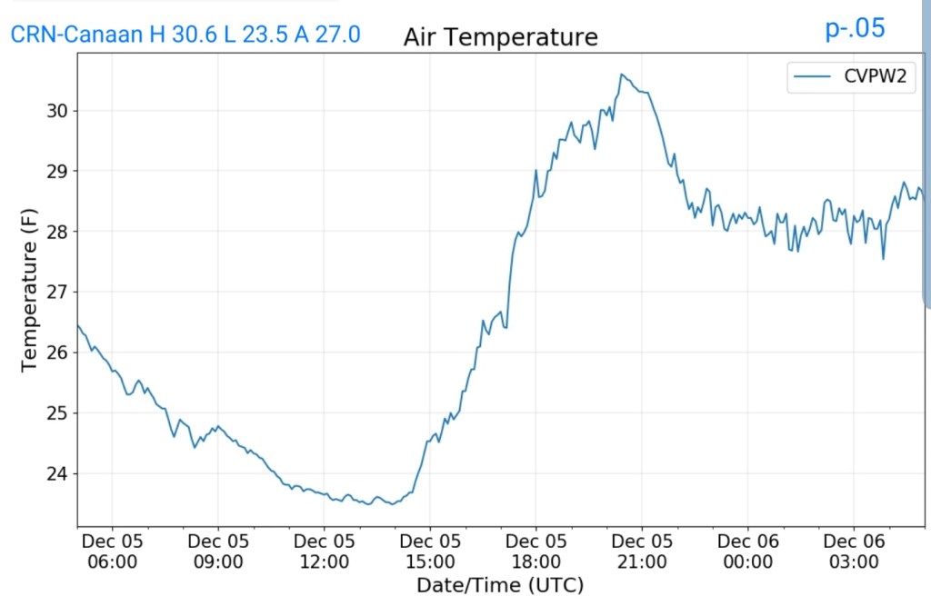
Climate Reference Network Canaan
MIN[23.5]—MAX[30.6]—AVG[27.0]—PRECIP[.05]
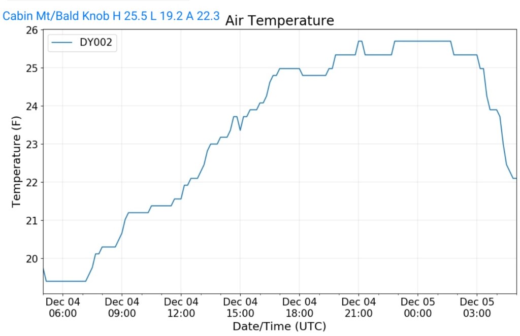
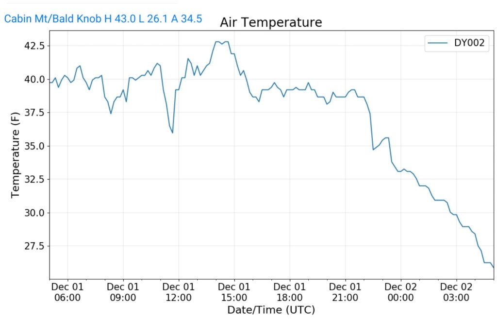
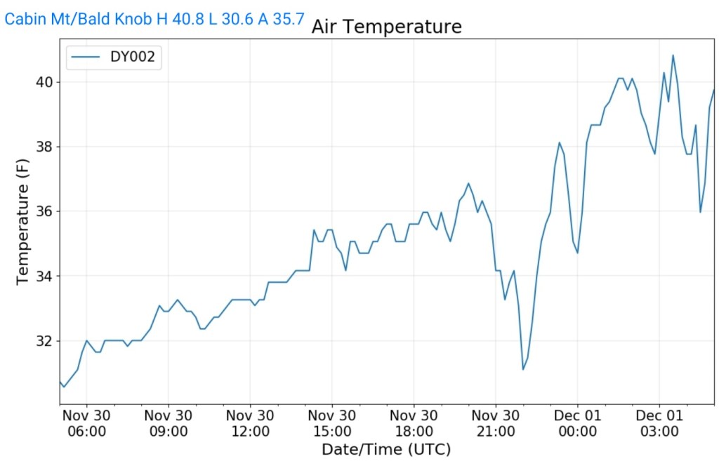
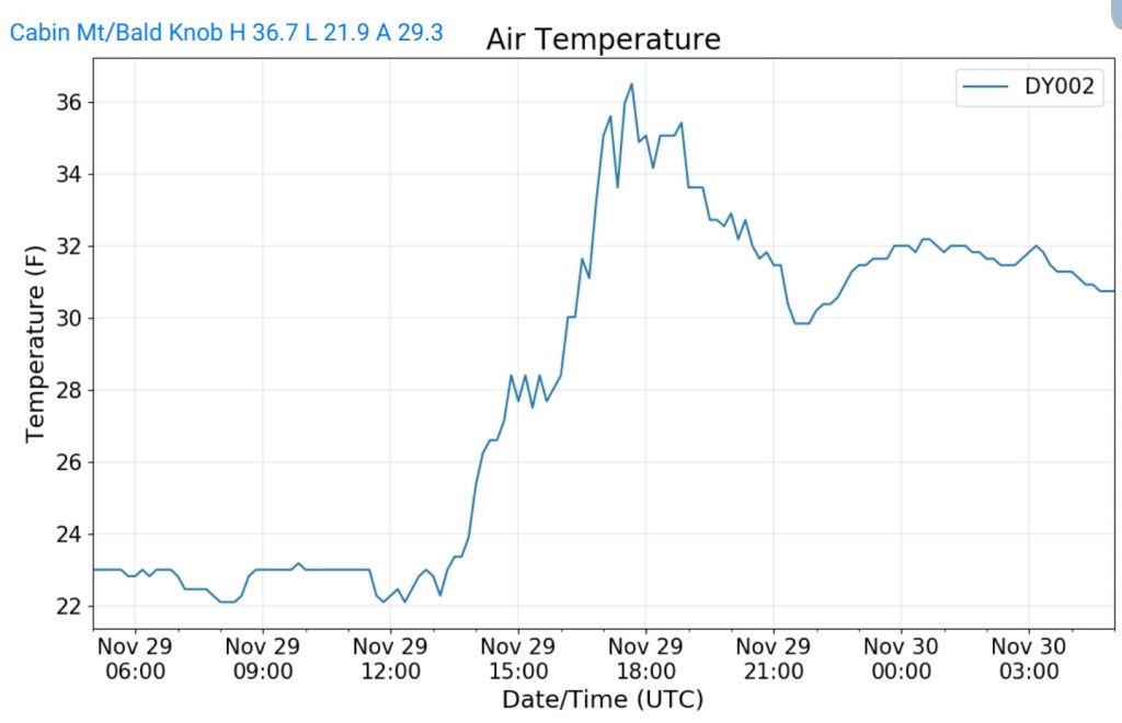
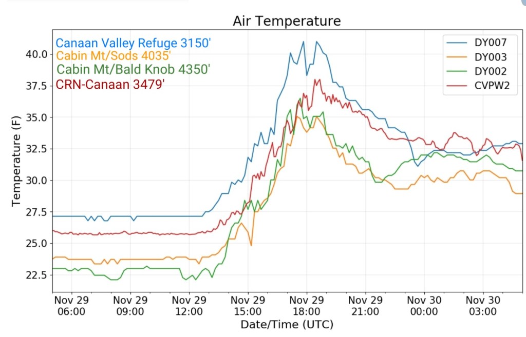
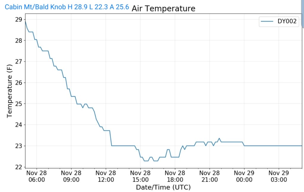
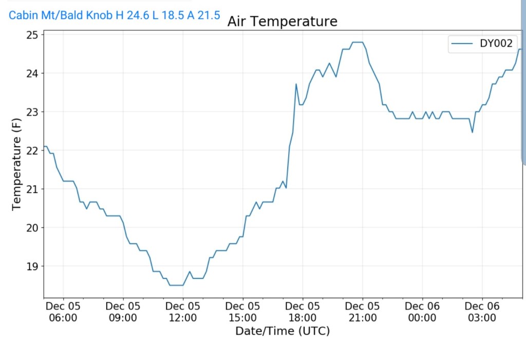
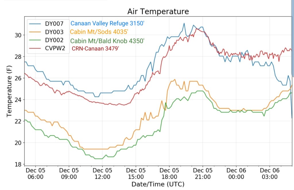
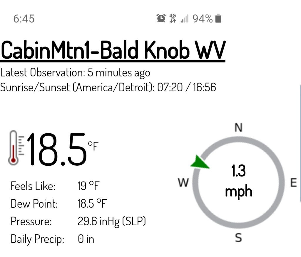
Cabin Mt at Bald Knob
MIN[18.5]—MAX[[24.6]—AVG[21.5]—PRECIP[F]
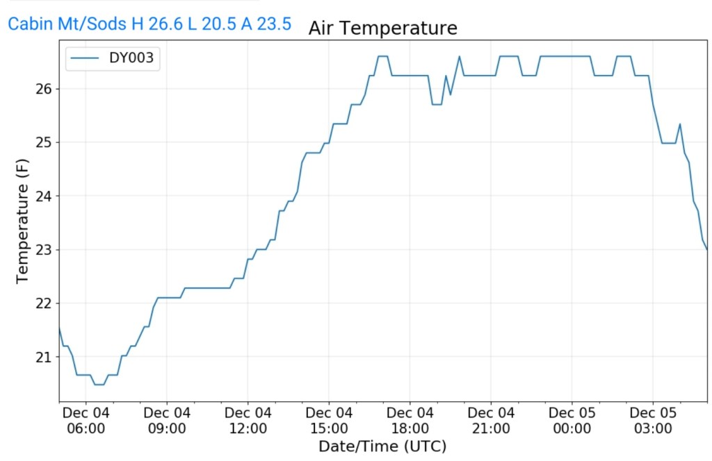
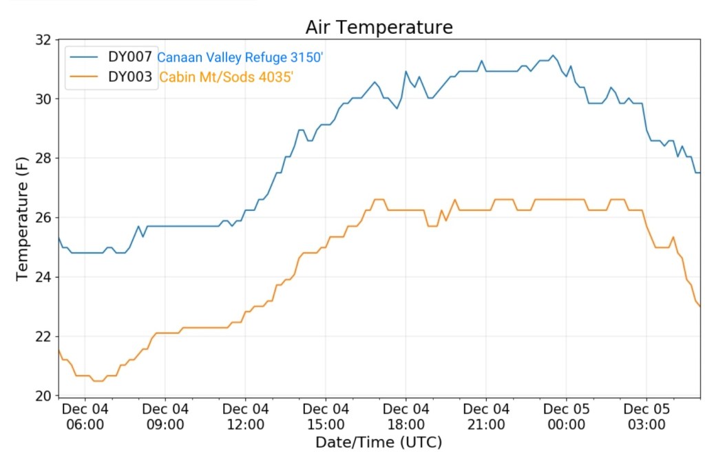
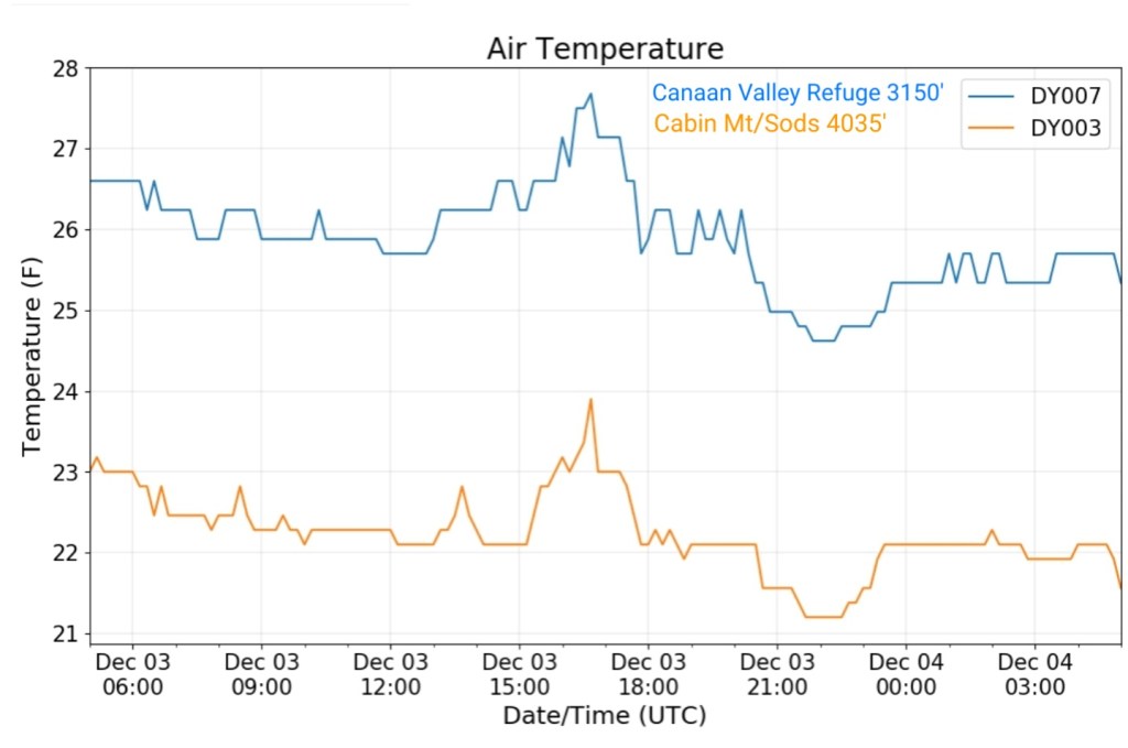
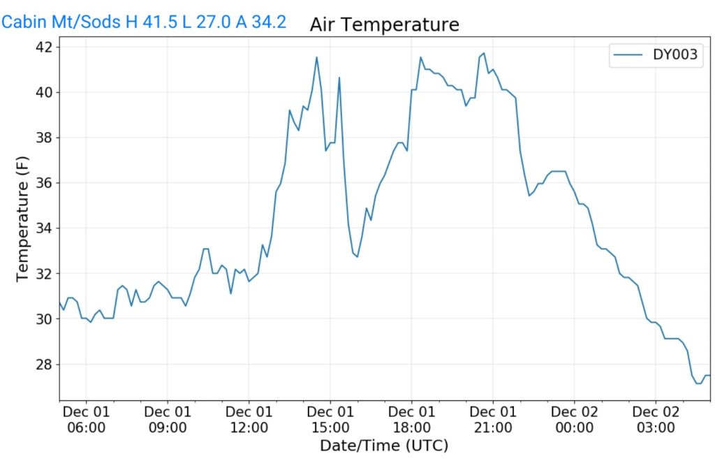
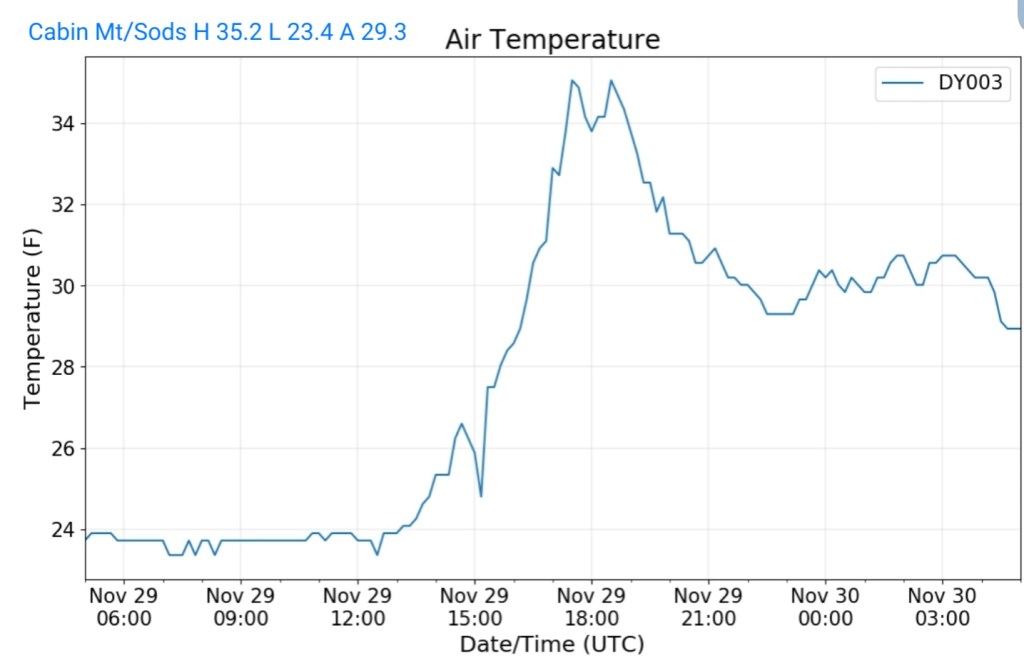
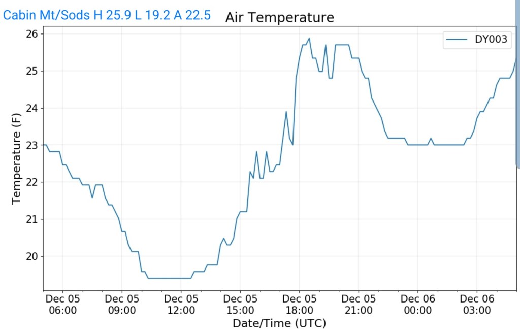
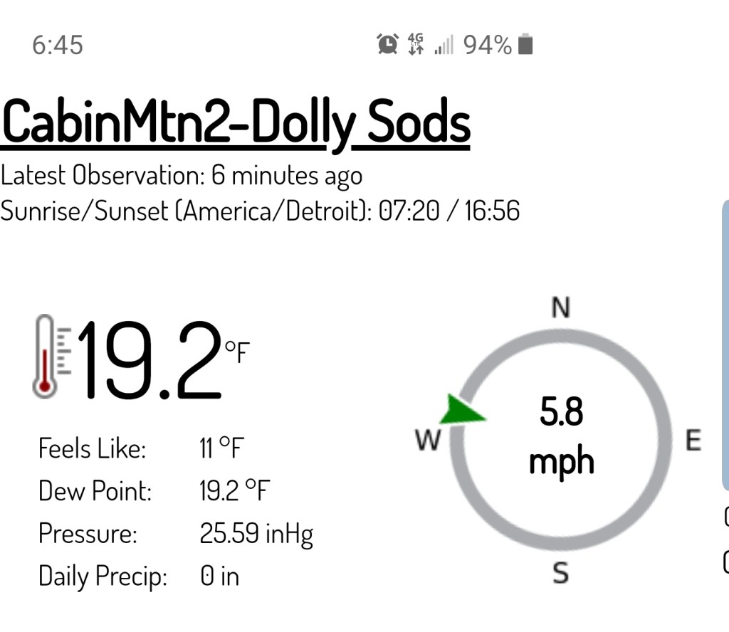
Cabin Mt-Western Sods
MIN[19.2]—MAX[25.9]—AVG[22.5]—PRECIP[F]
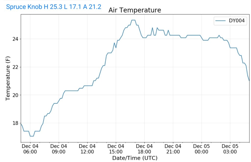
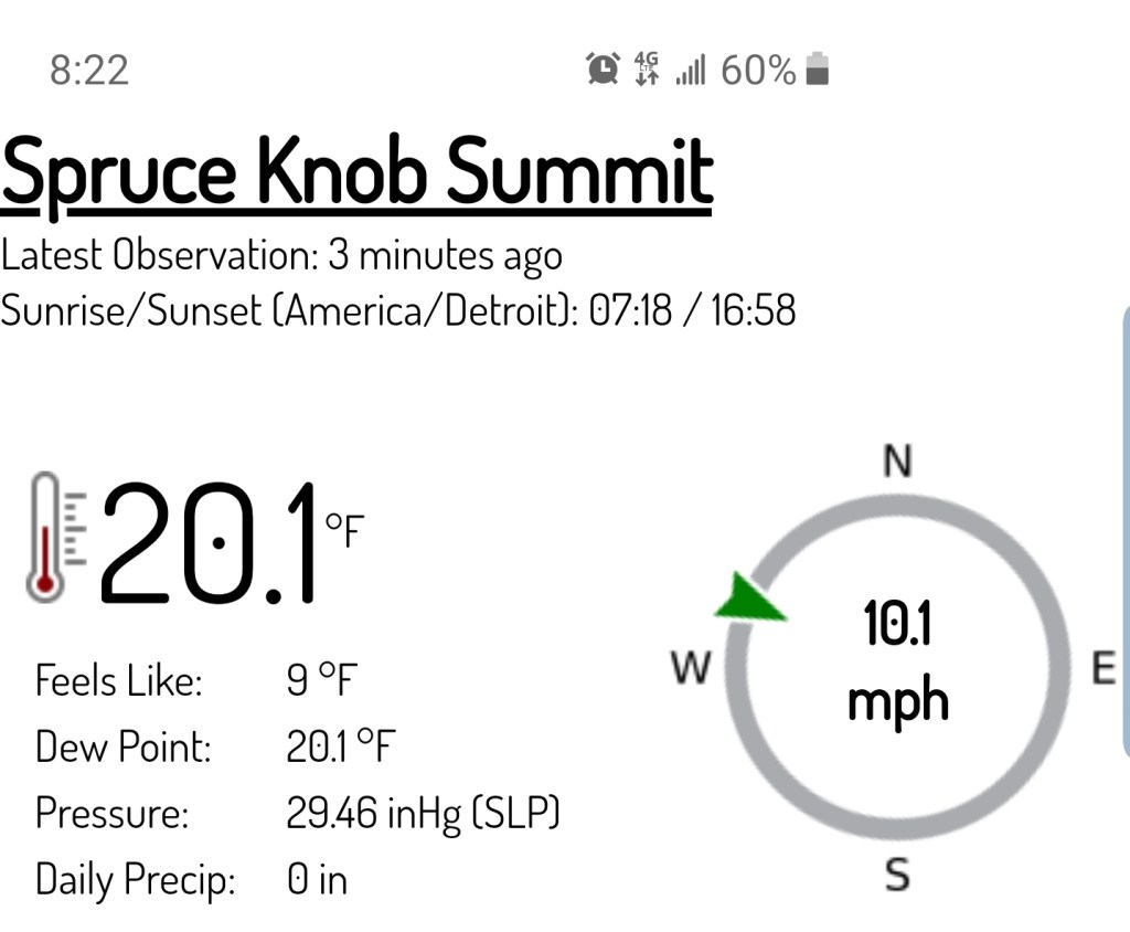
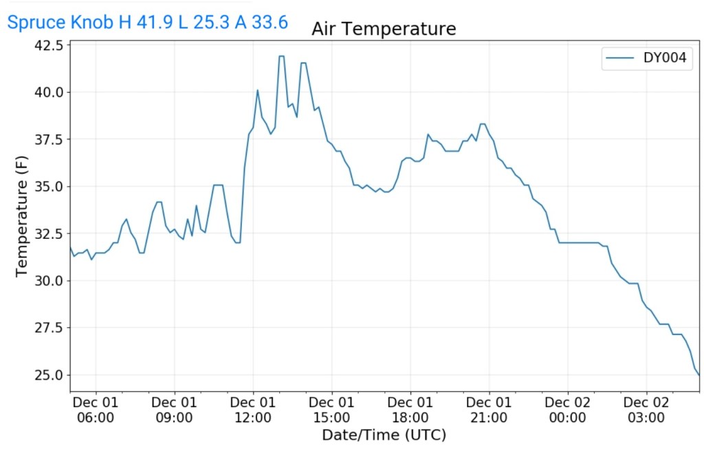
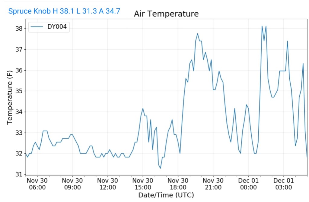
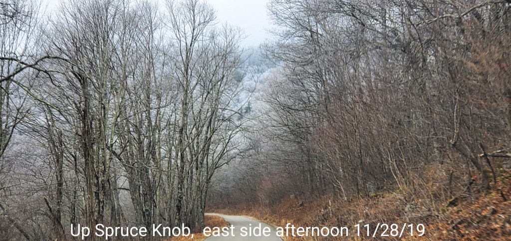
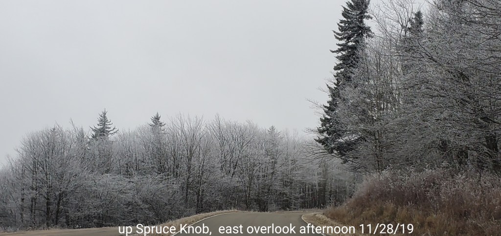
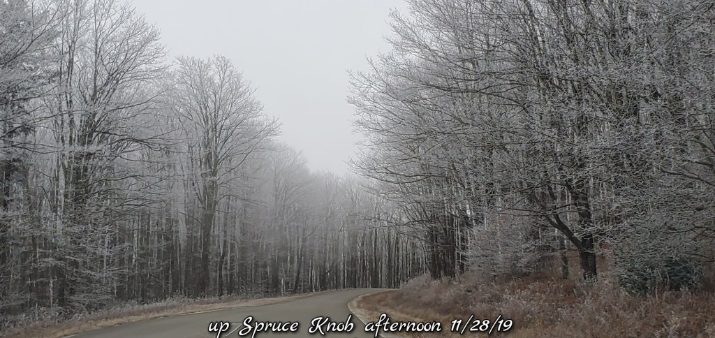
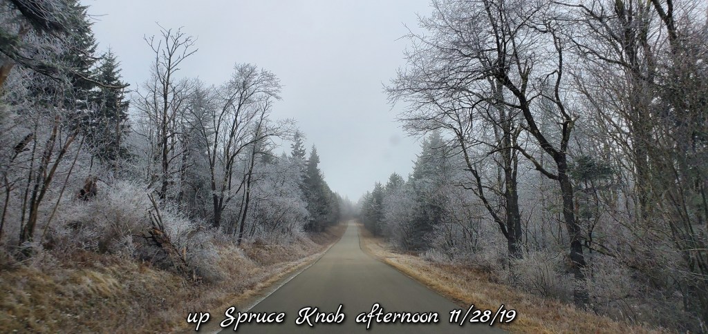
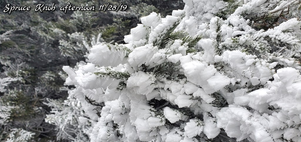
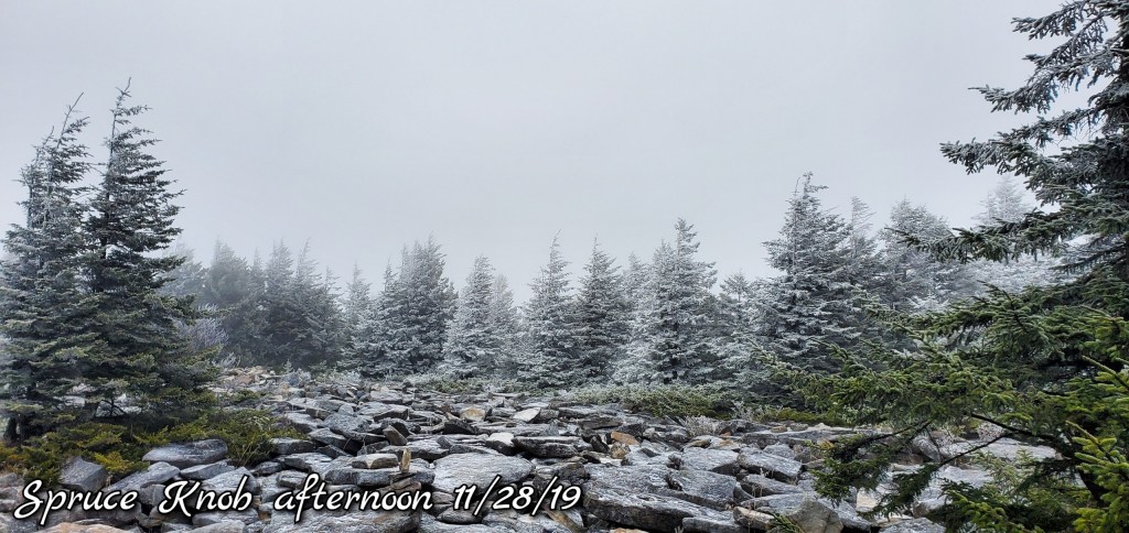
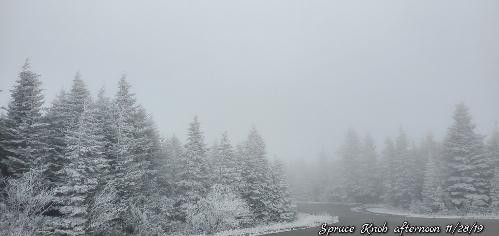
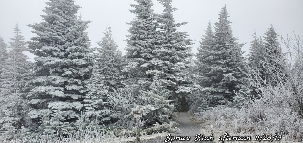
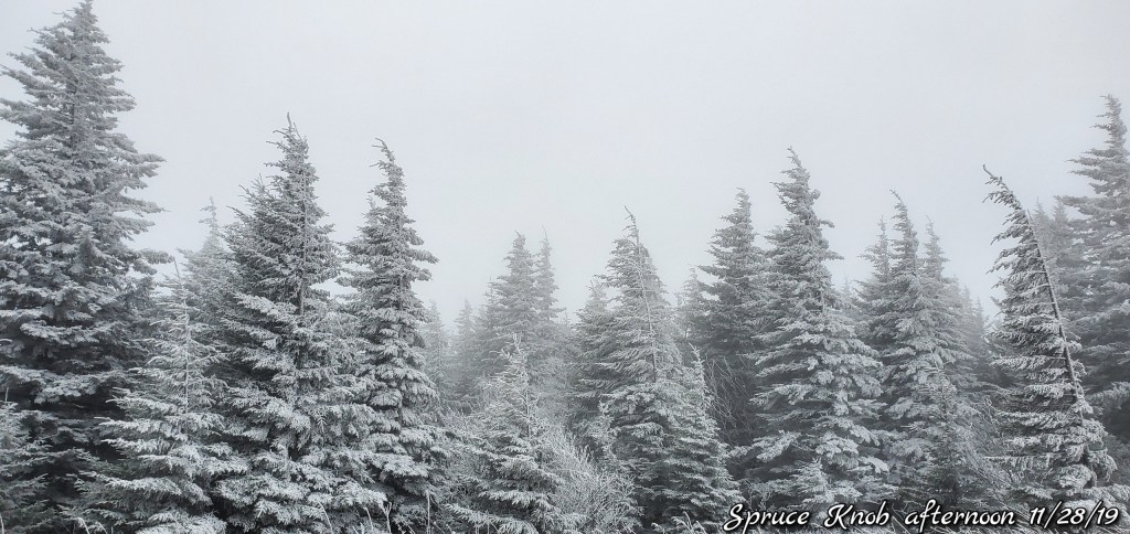
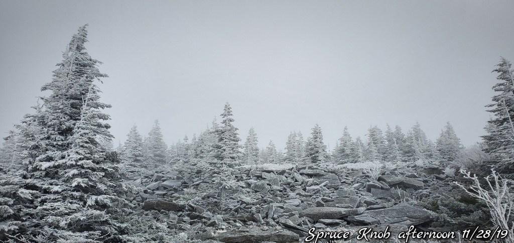
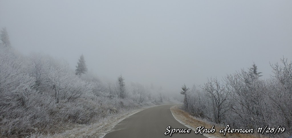
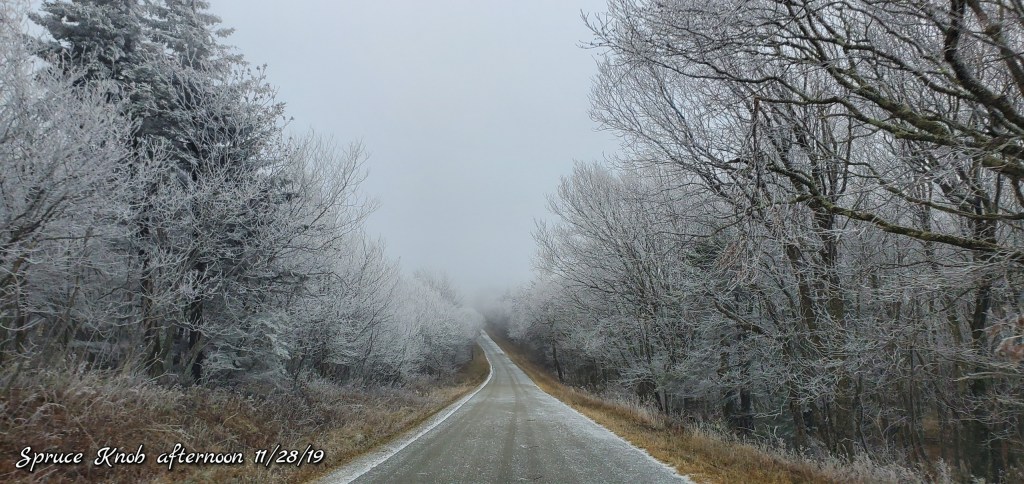
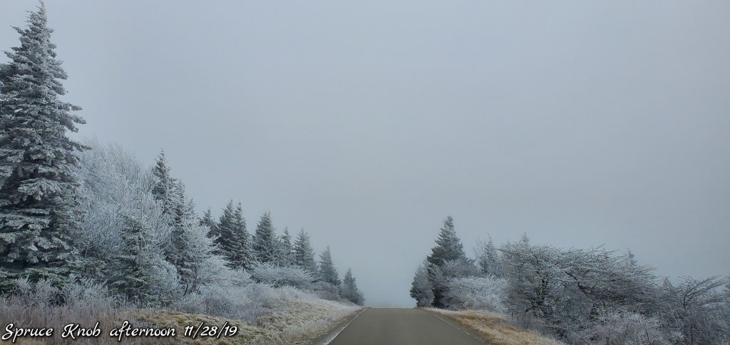
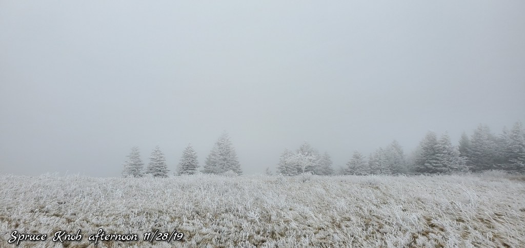
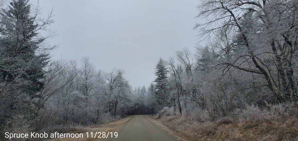
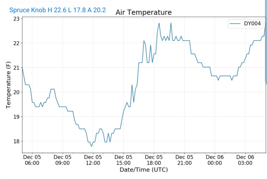
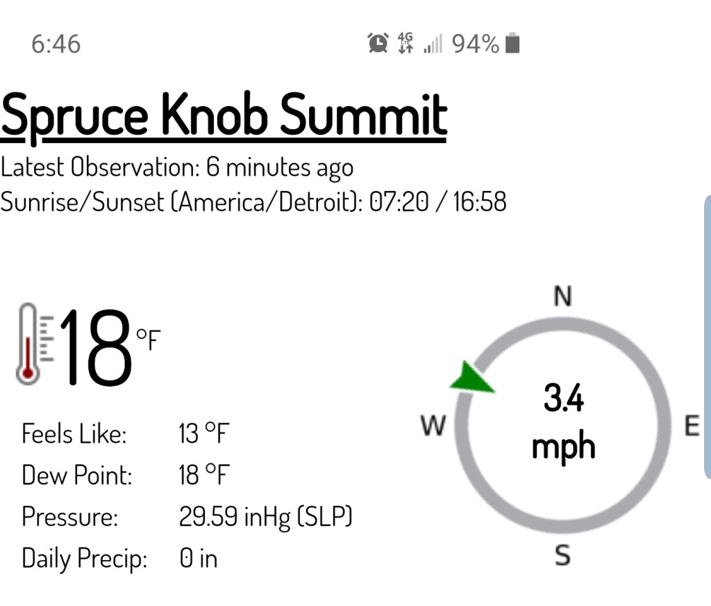
Spruce Knob
MIN[17.8]—MAX[22.6]—AVG[20.2]—PRECIP[F]
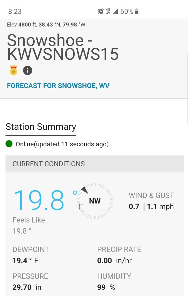
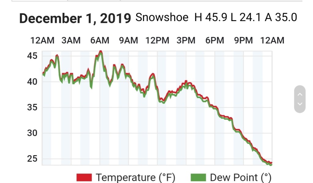
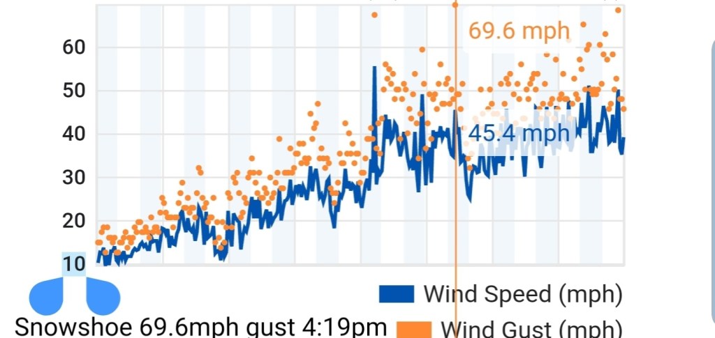
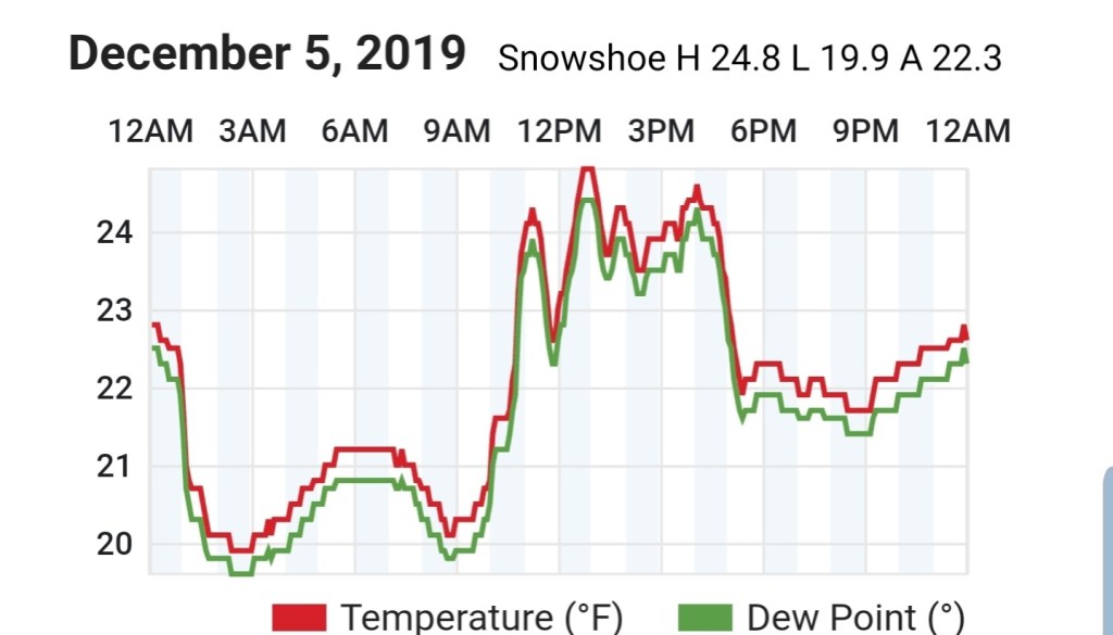
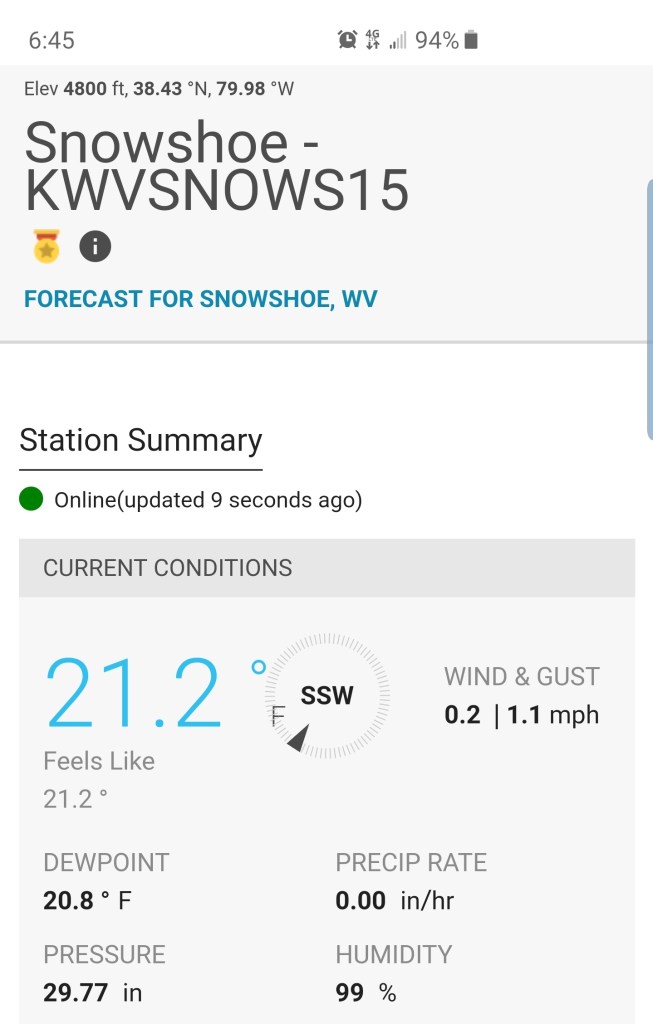
Snowshoe
MIN[19.9]—MAX[24.8]—AVG[22.3]
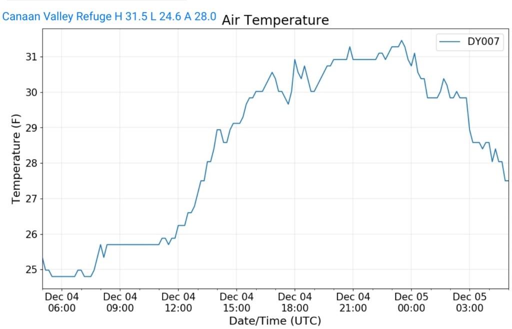
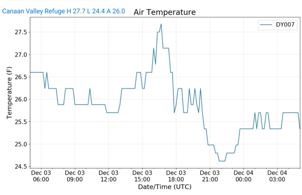
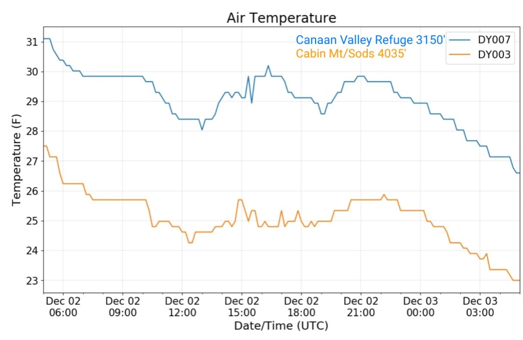
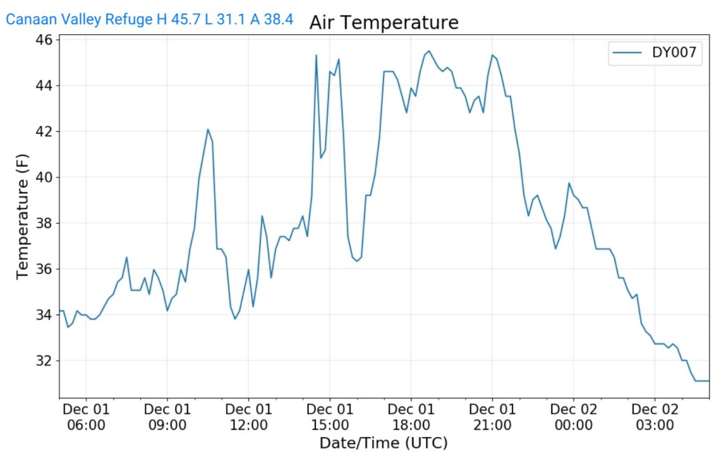
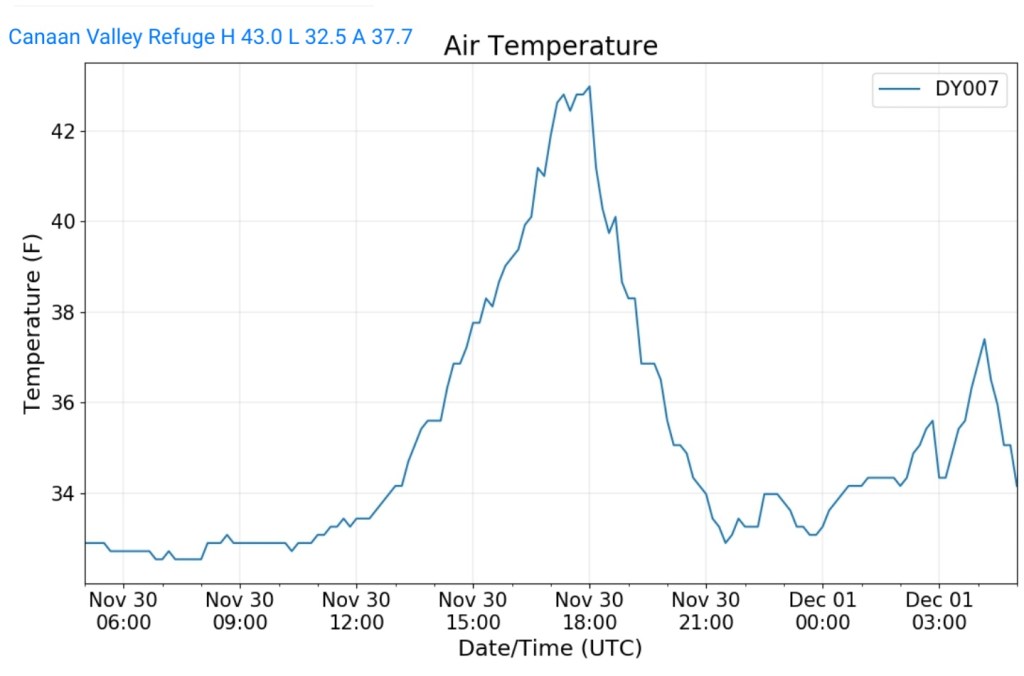
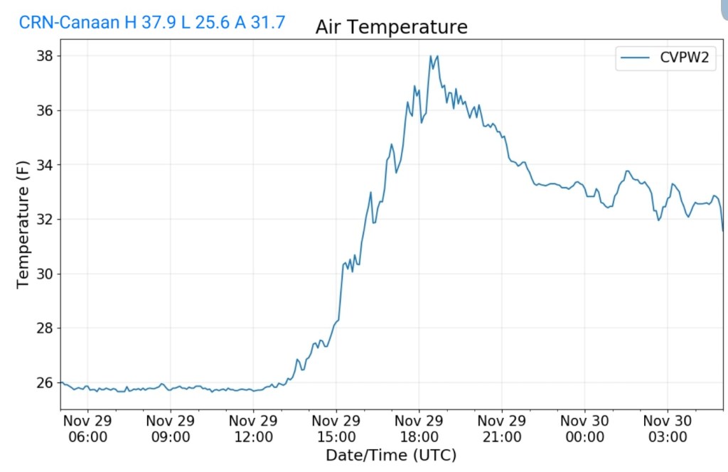
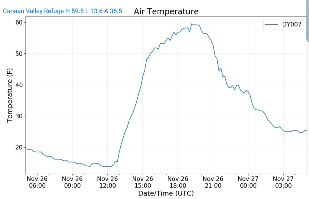
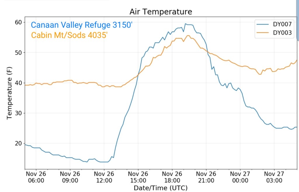
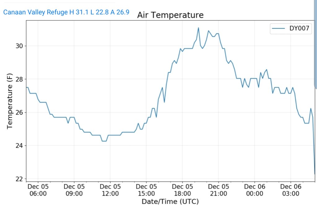
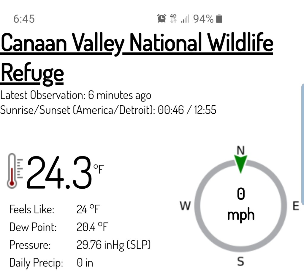
Canaan Valley Refuge
MIN[22.8]—MAX[31.1]—AVG[26.9]
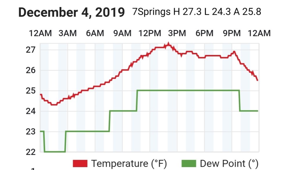
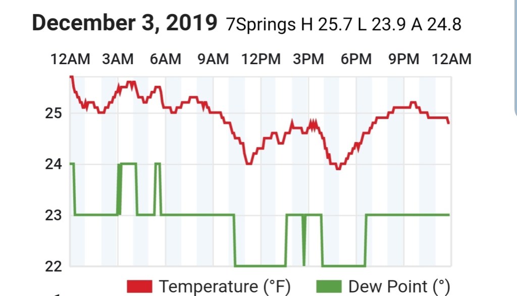
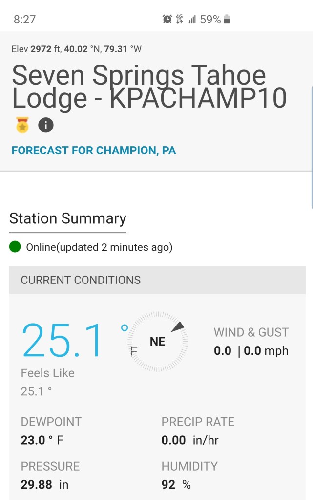
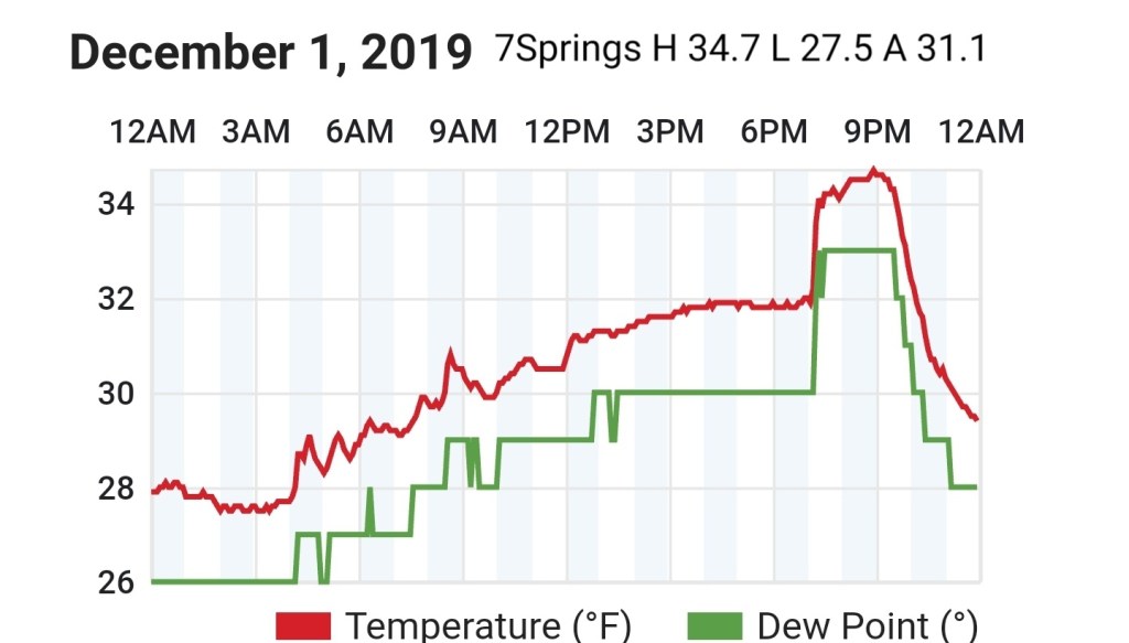
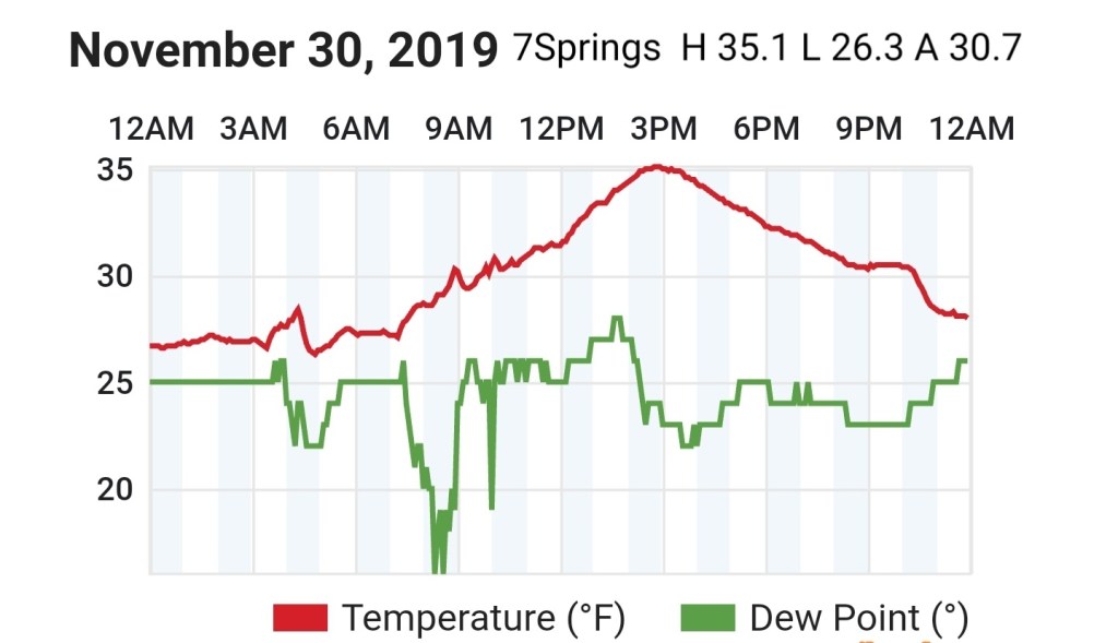
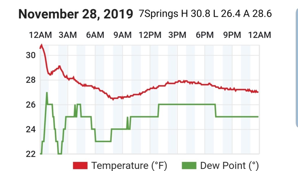
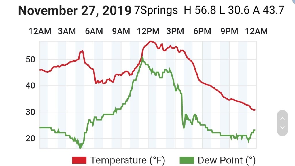
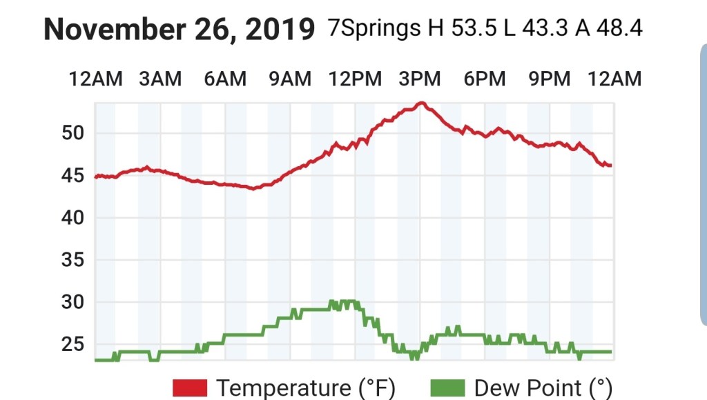
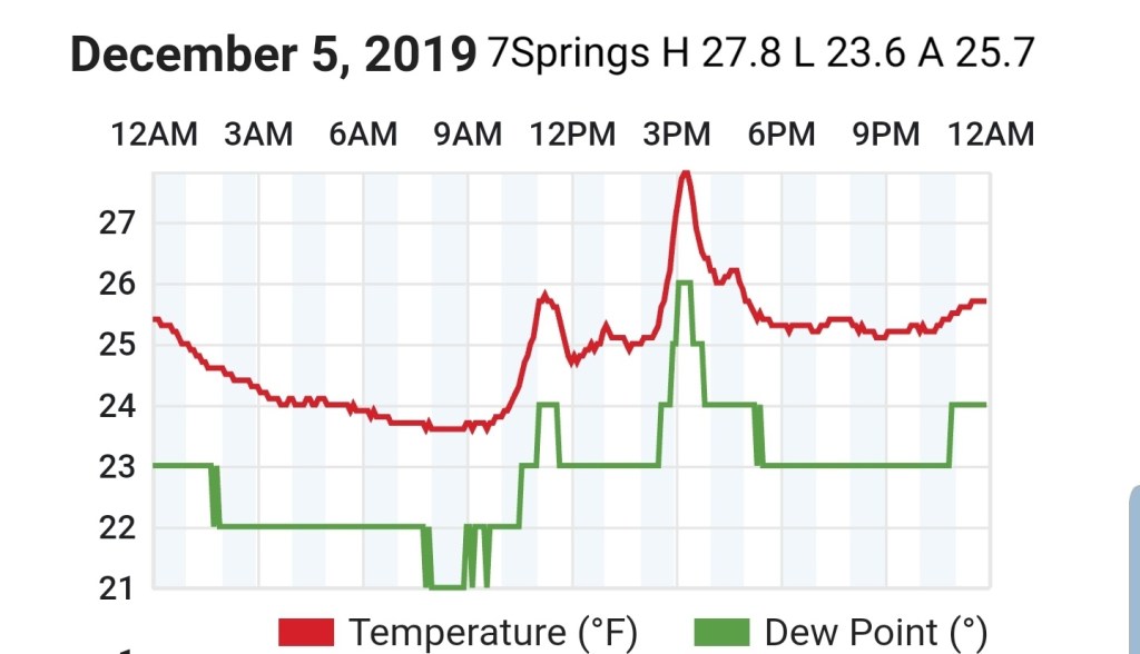
7Springs
MIN[23.6]—MAX[27.8]—AVG[25.7]
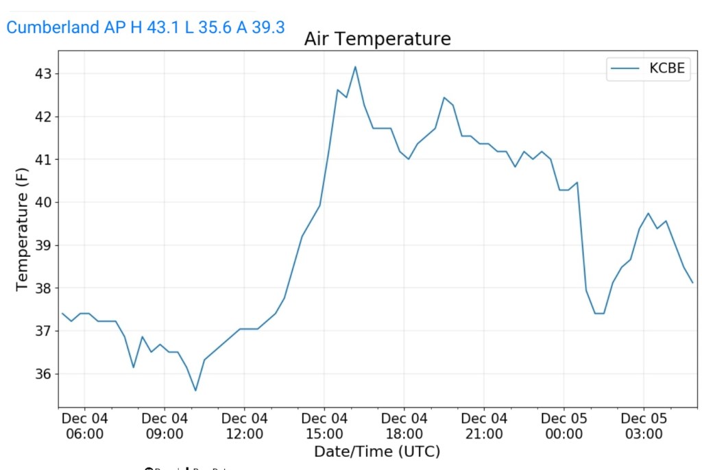
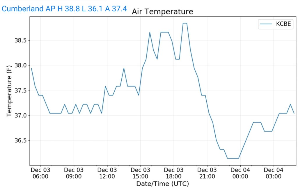
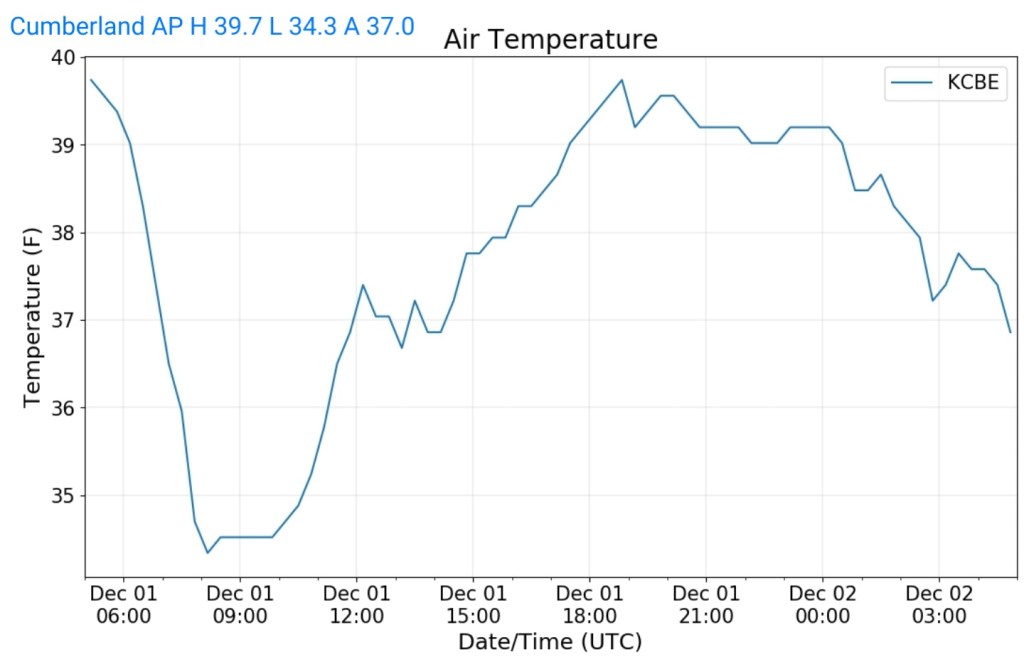
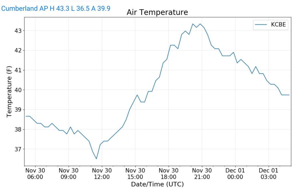
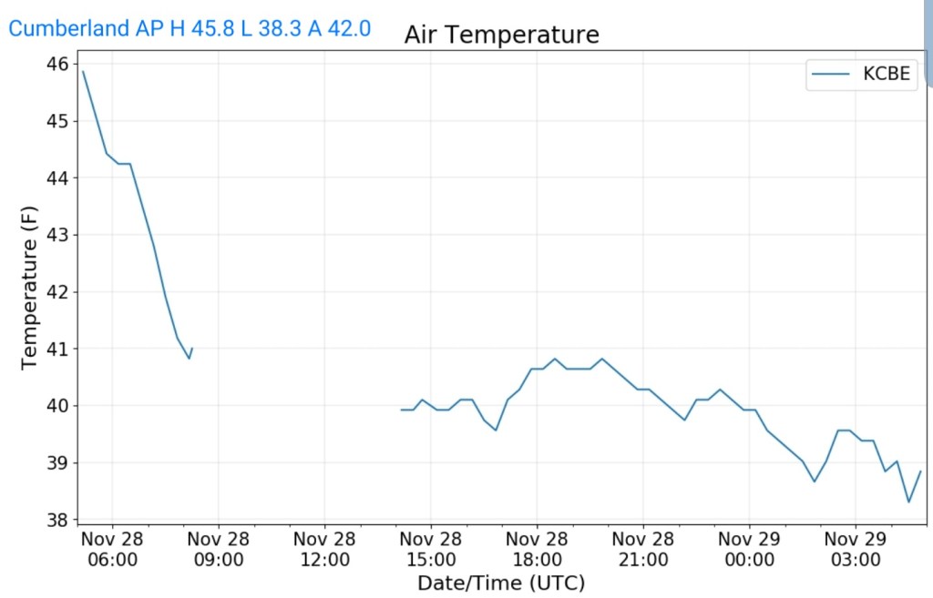
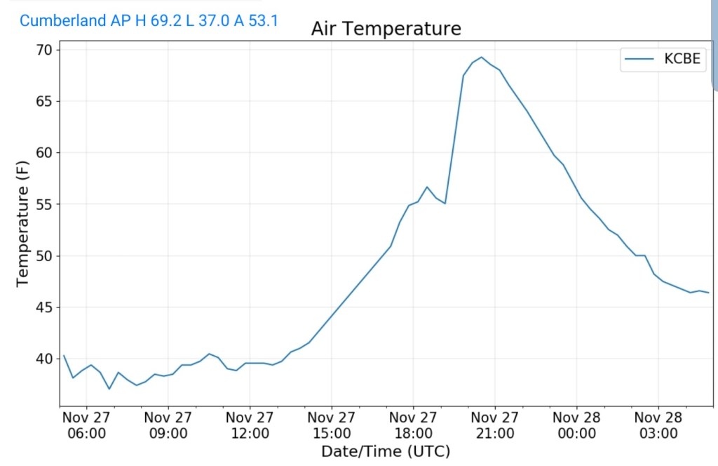
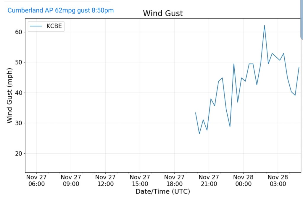
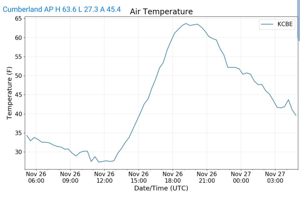
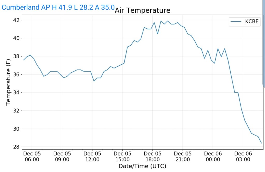
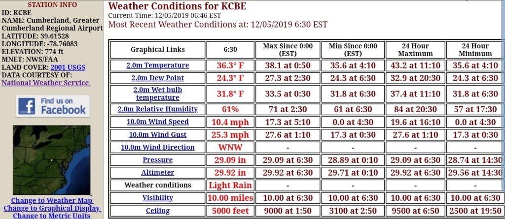
Cumberland Airport
MIN[28.2]—MAX[41.9]—AVG[35.0]
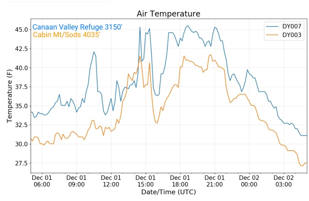
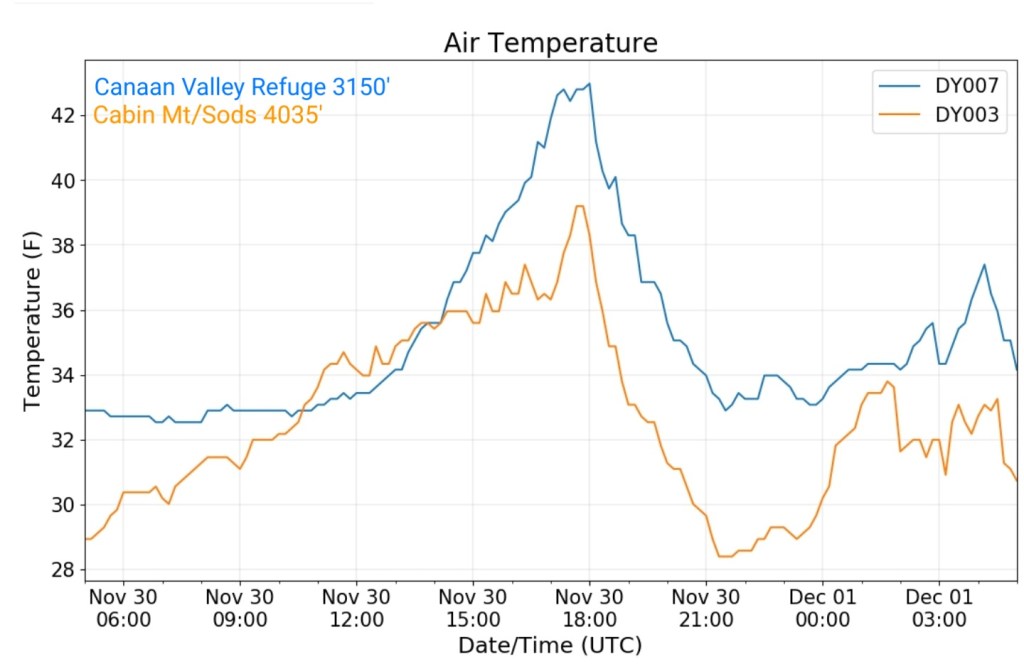
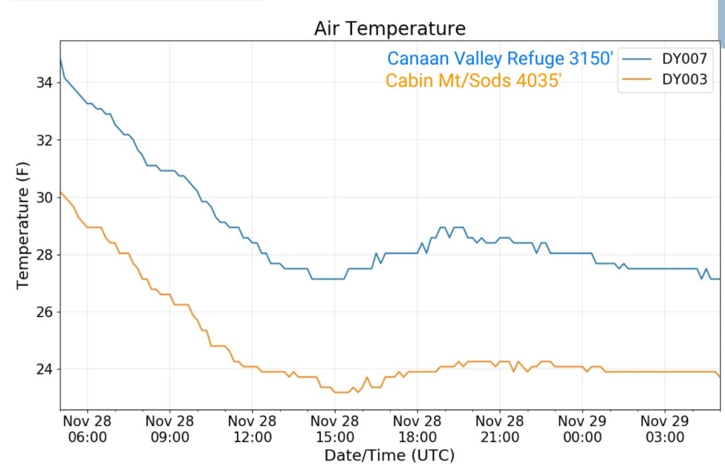
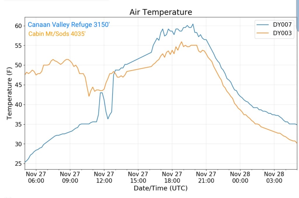
The Valley vs Cabin Mt


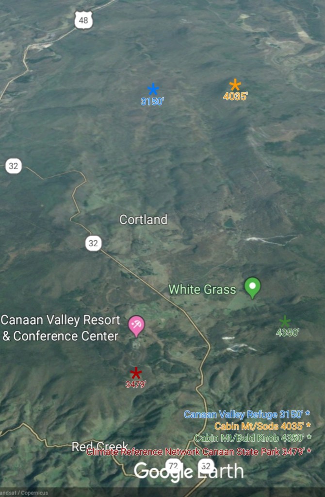
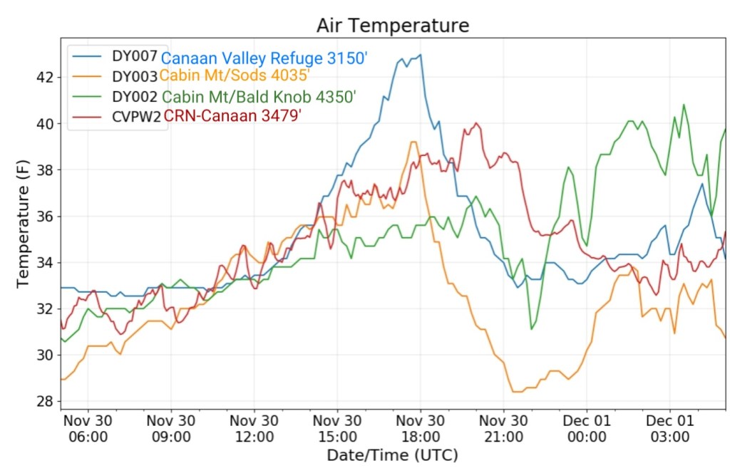
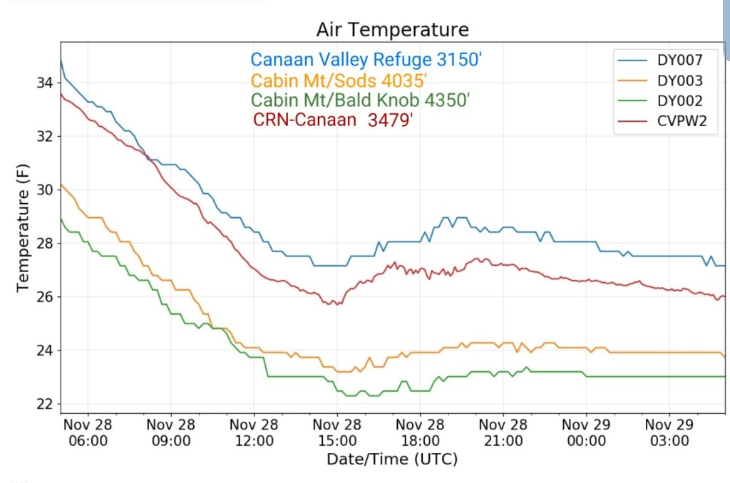
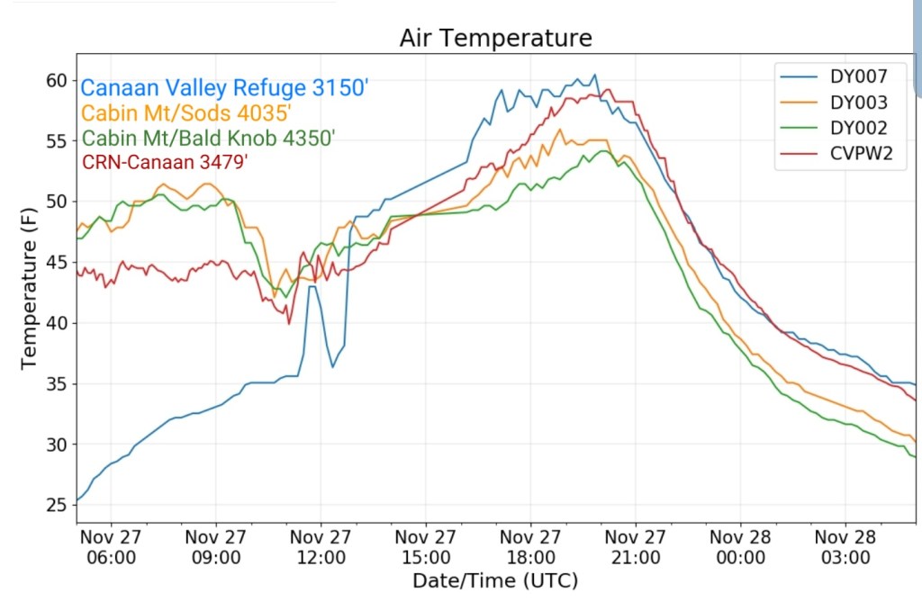
Canaan area temps

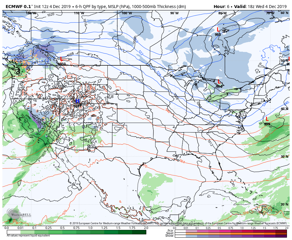
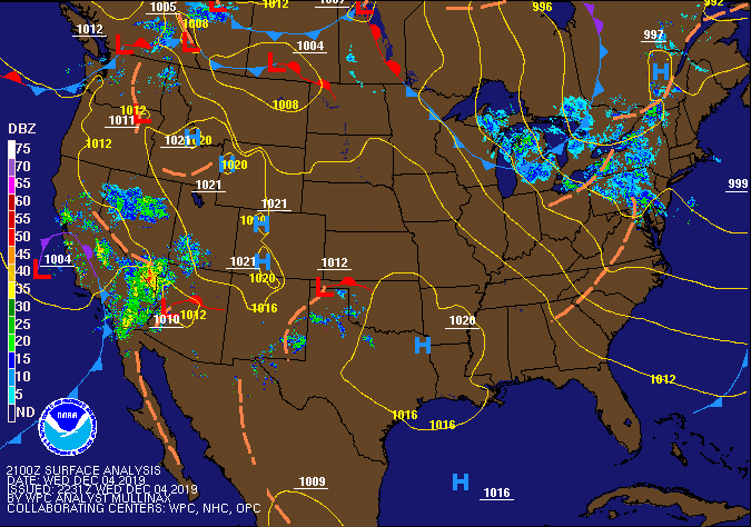
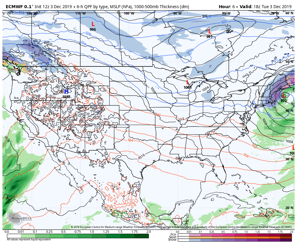
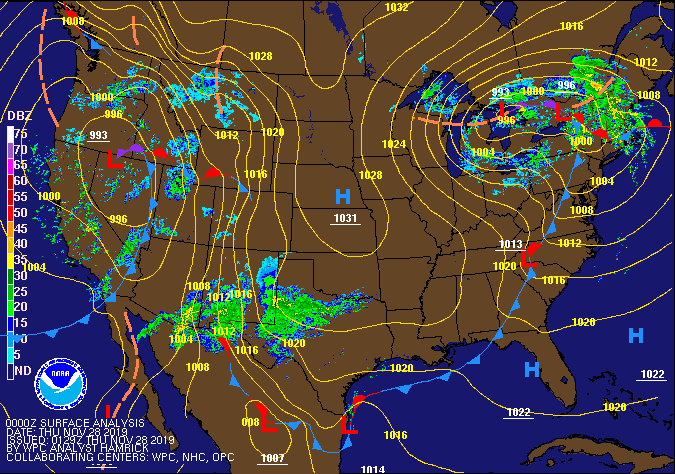
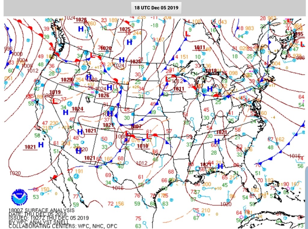
RTMA
Radar
Satellite
Flow
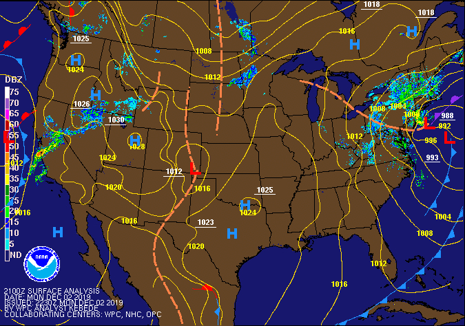
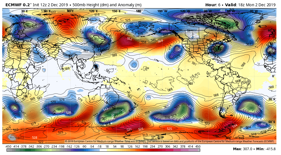
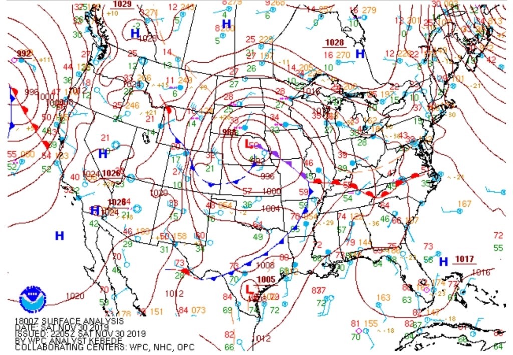
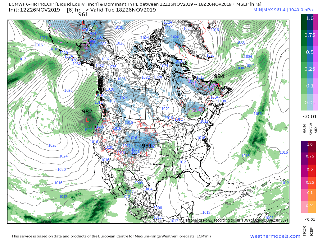
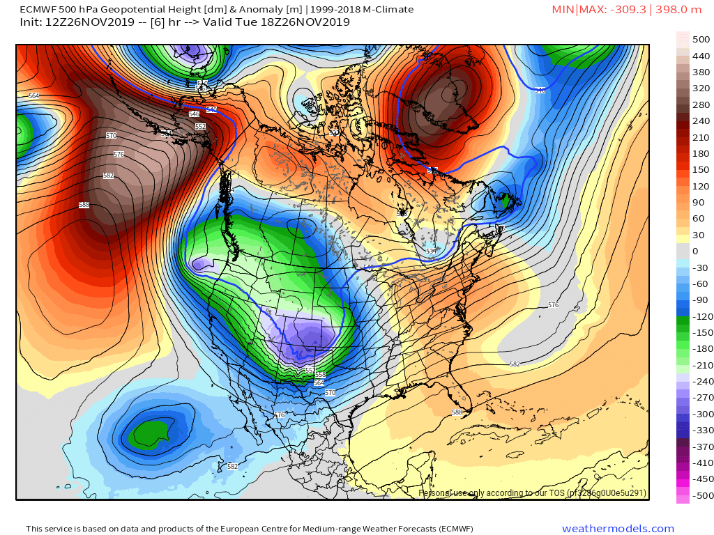
Surface features and 500mb height anomalies and flow


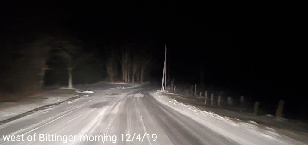
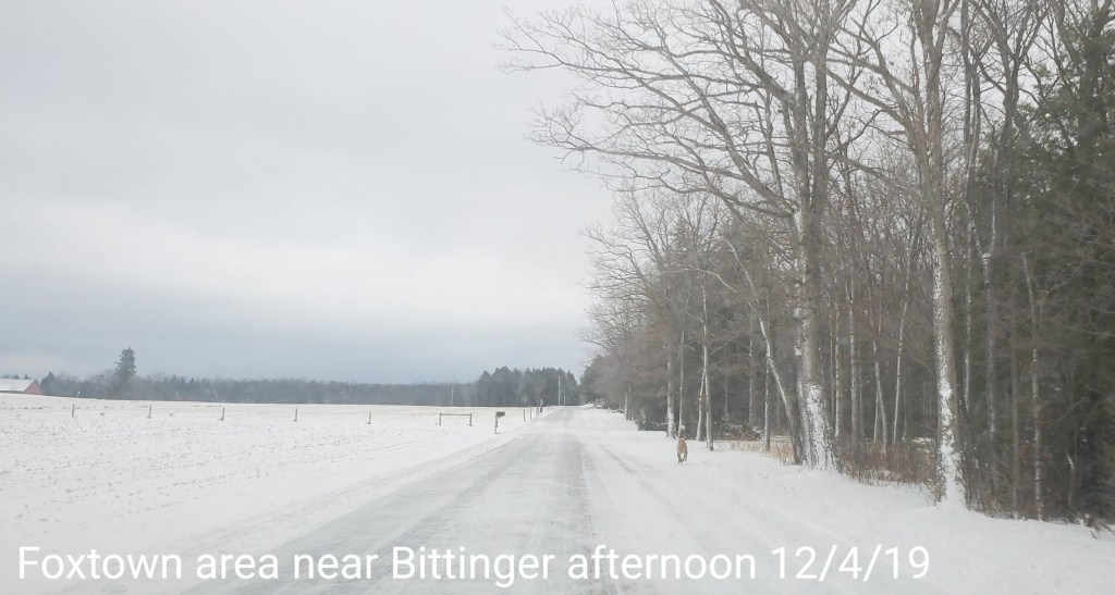
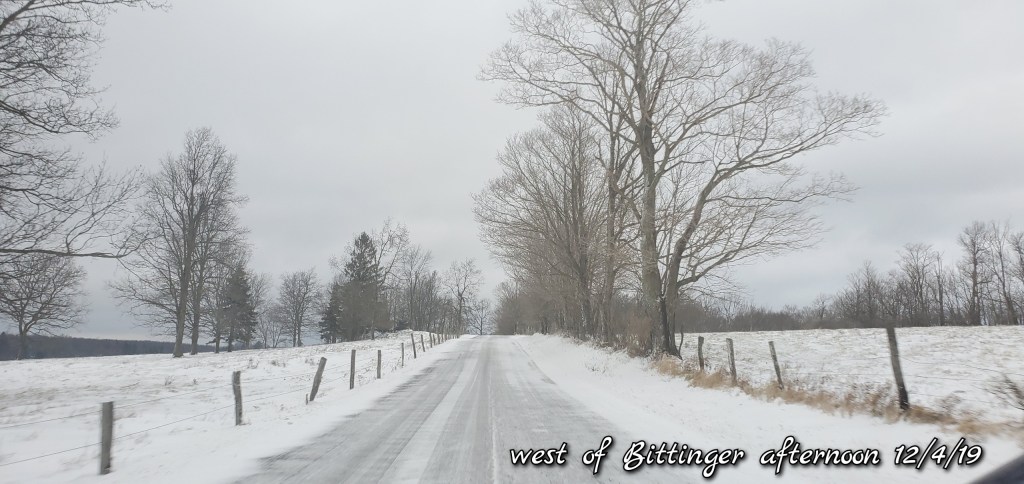
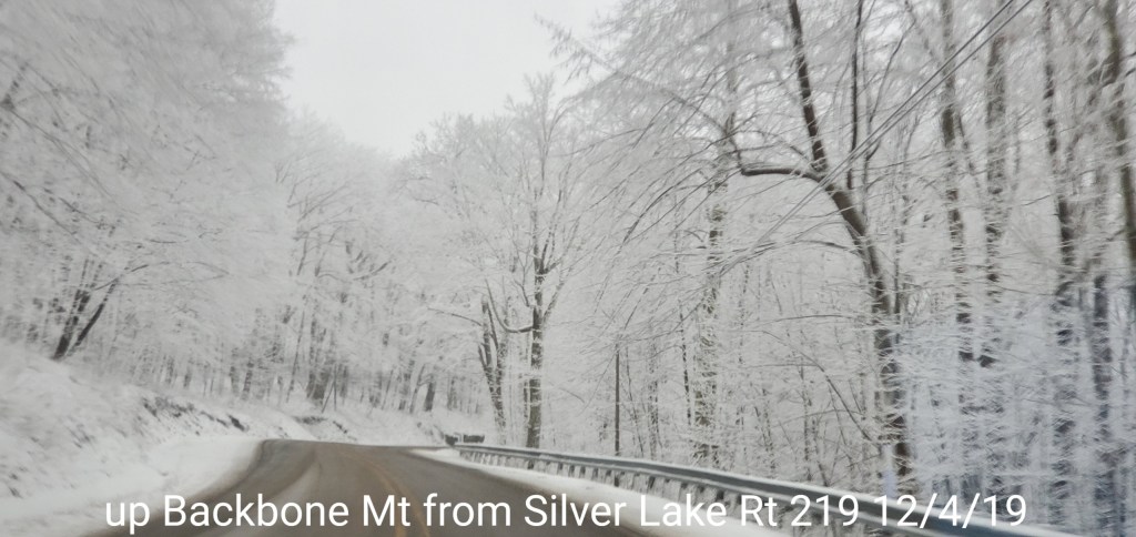
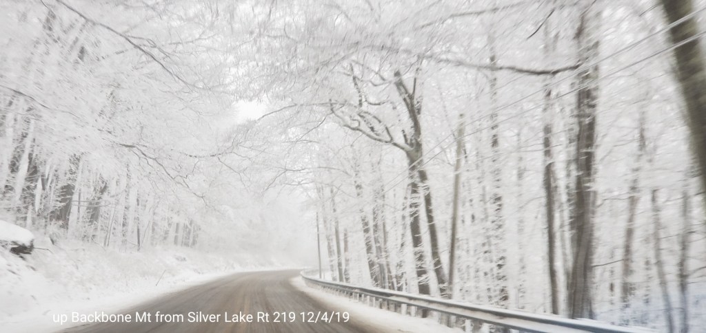
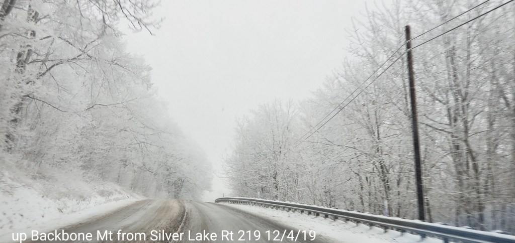
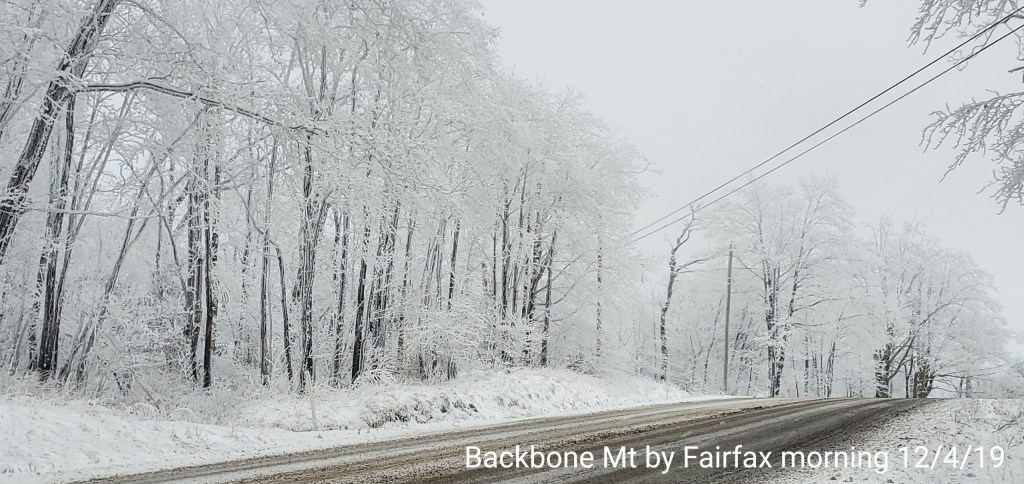
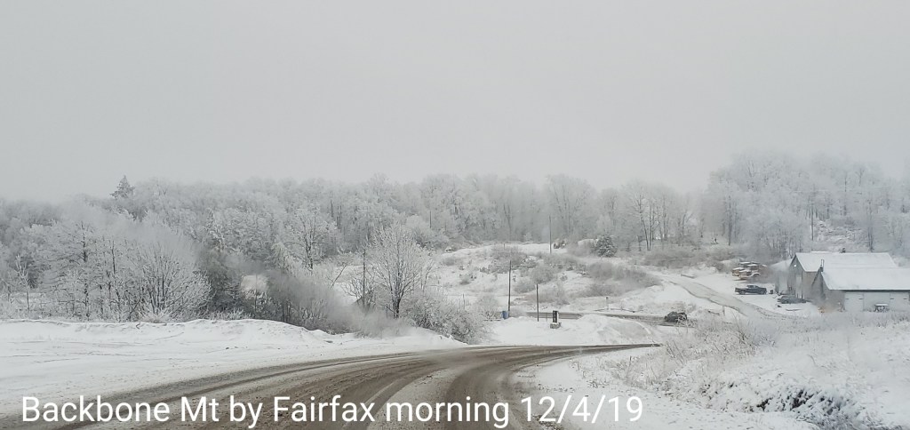
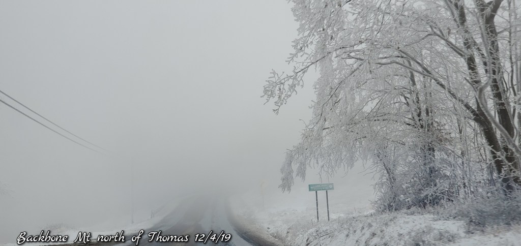
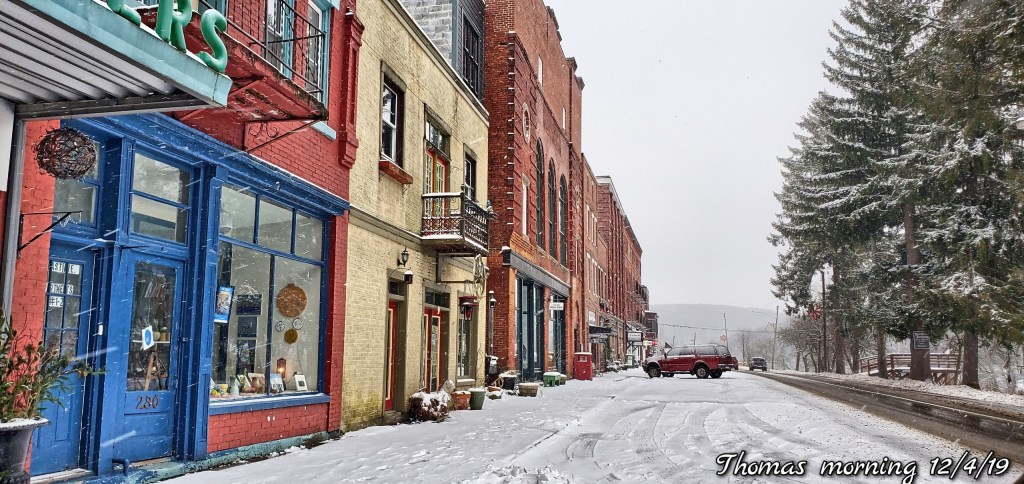
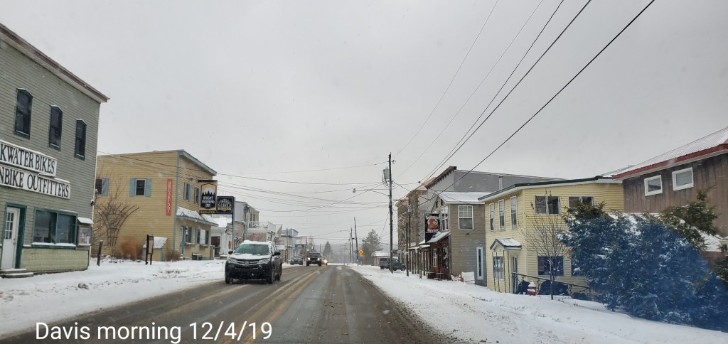
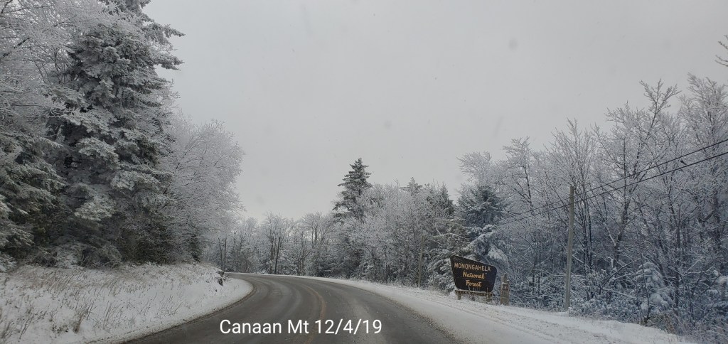
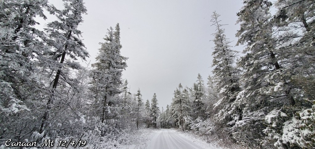
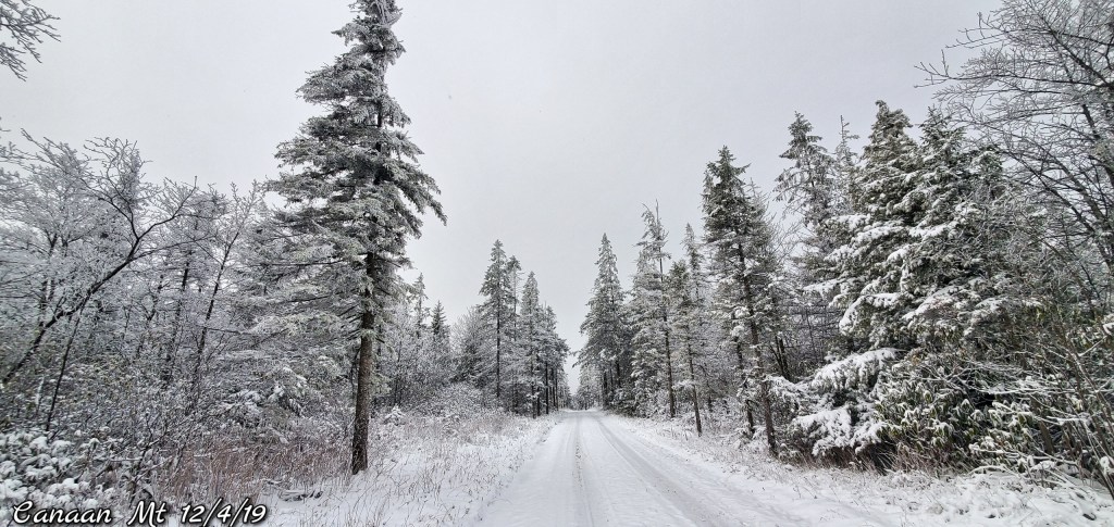
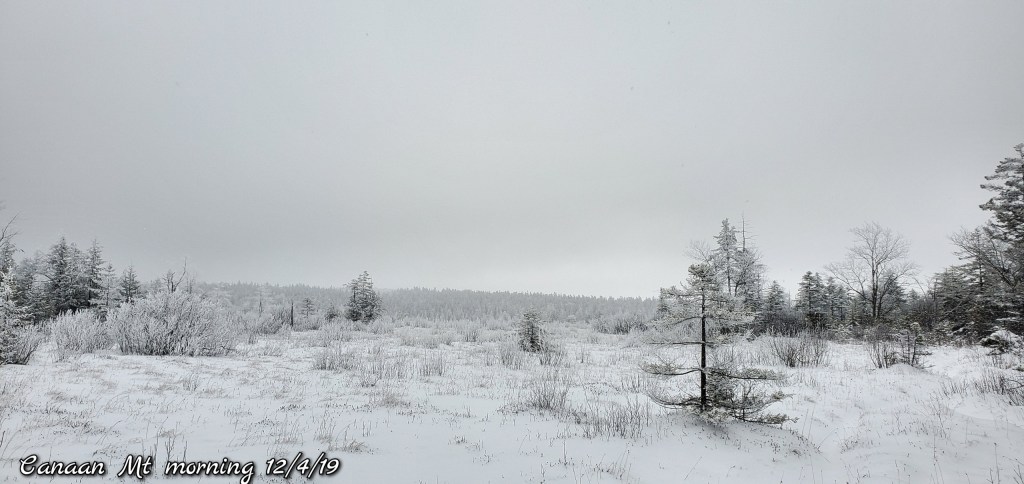
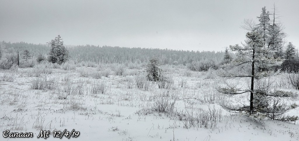
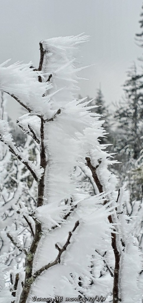
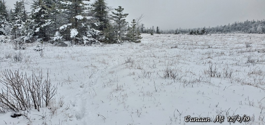
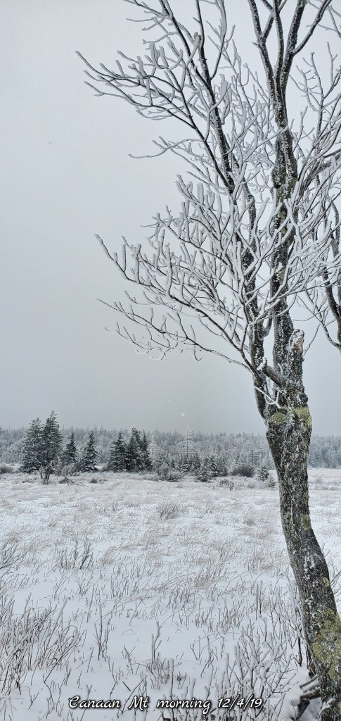
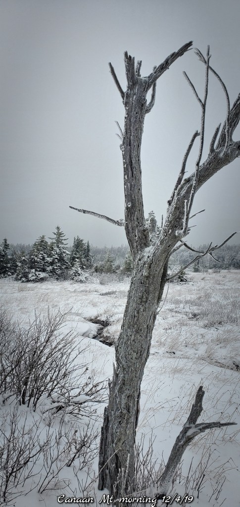
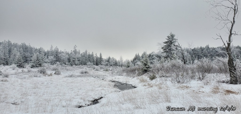
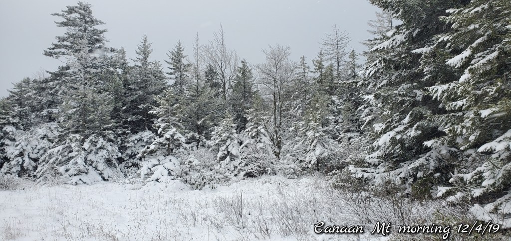
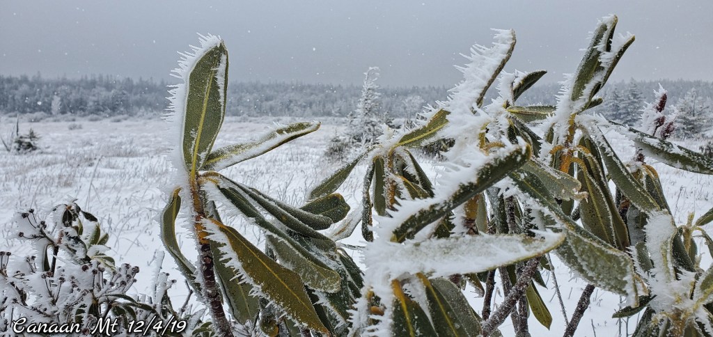
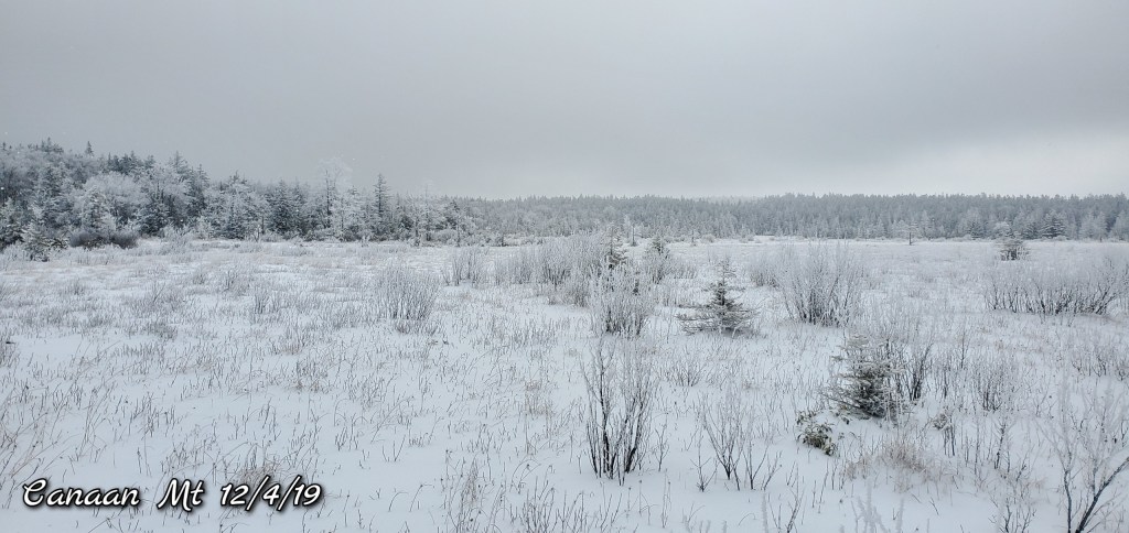
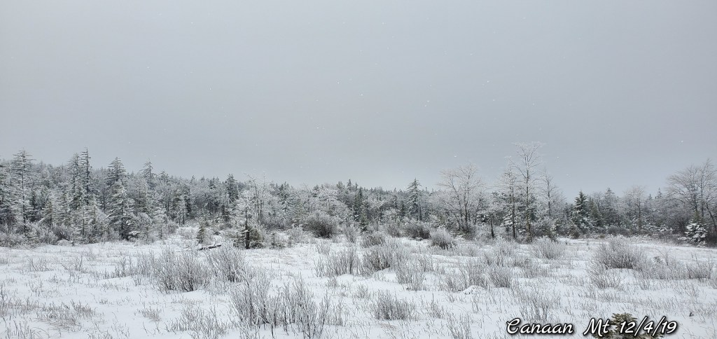
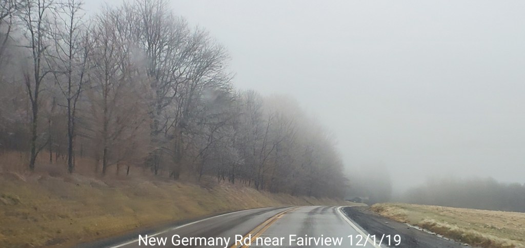
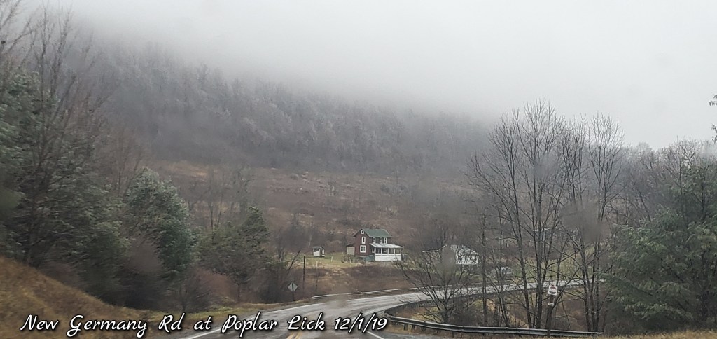
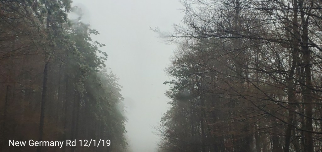
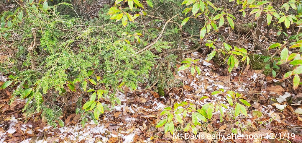
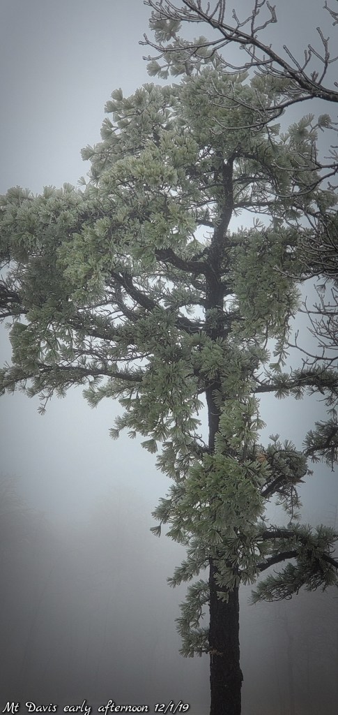
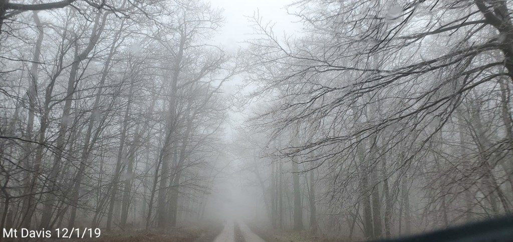
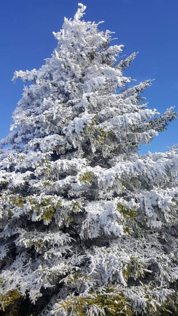
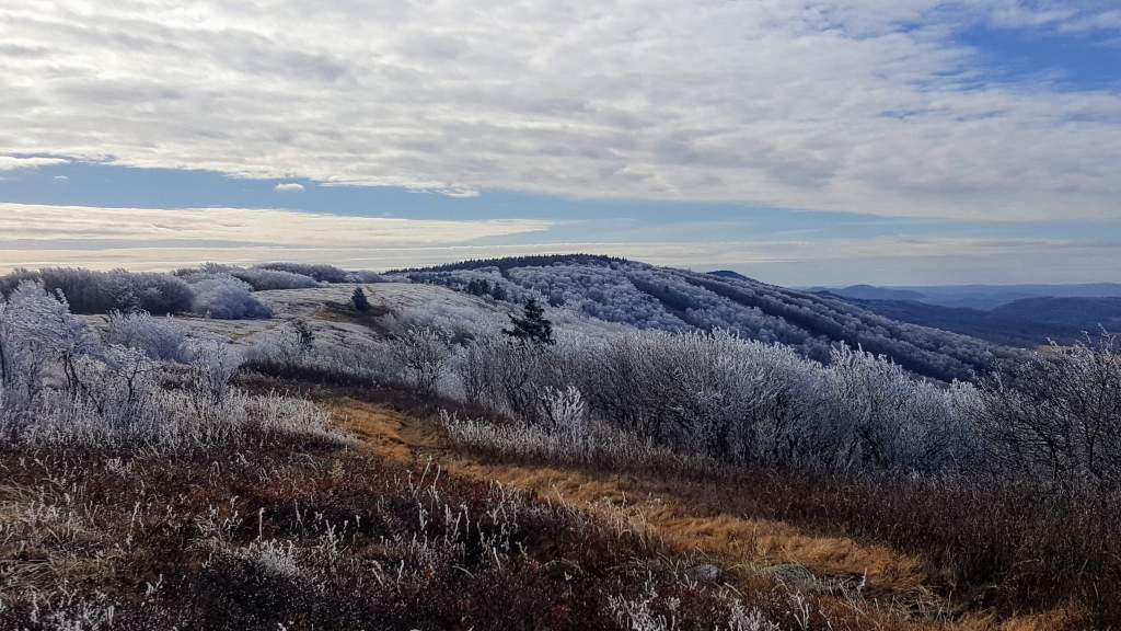
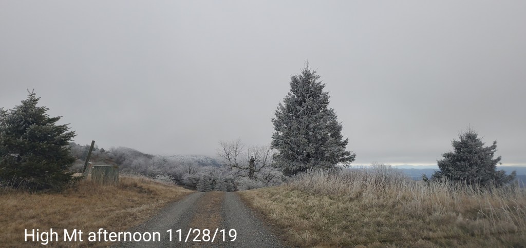
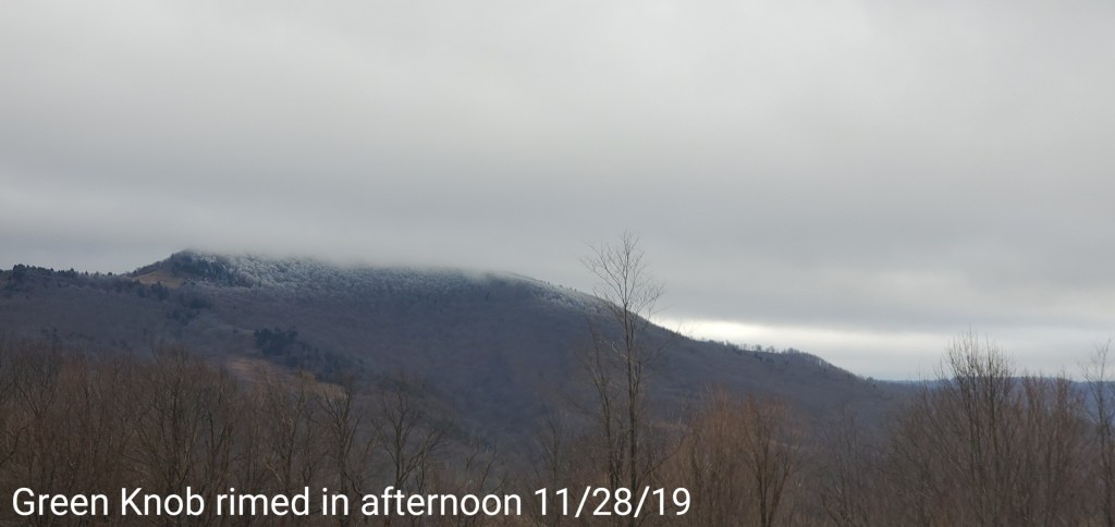
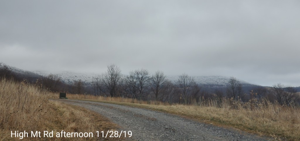
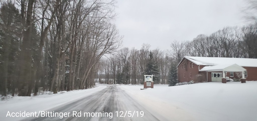
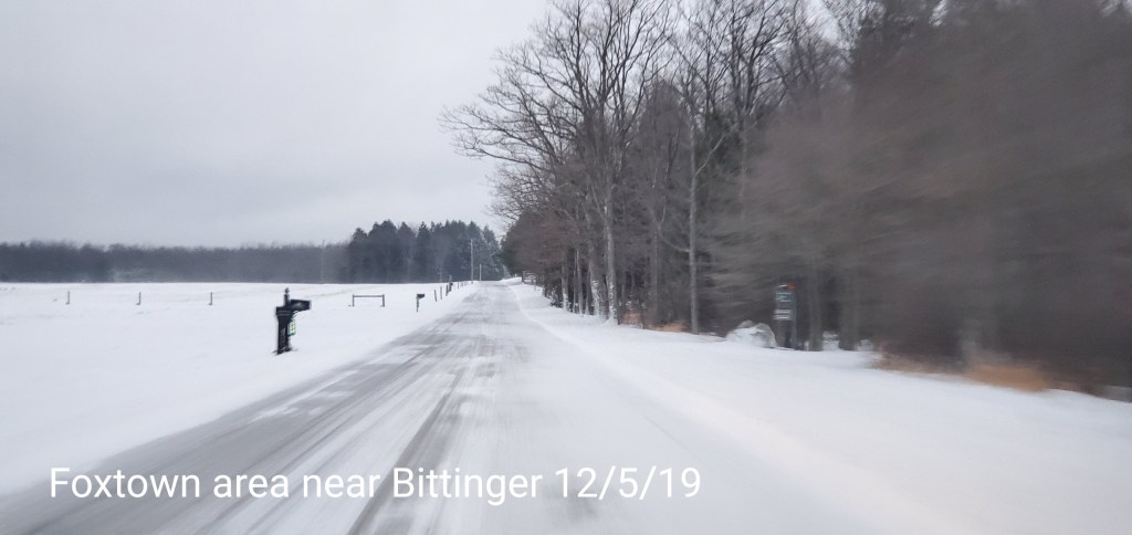
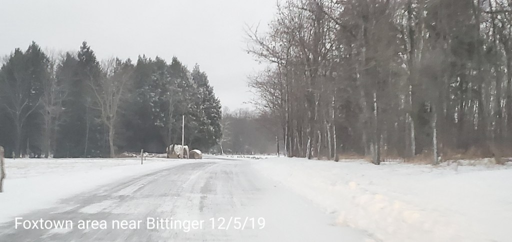
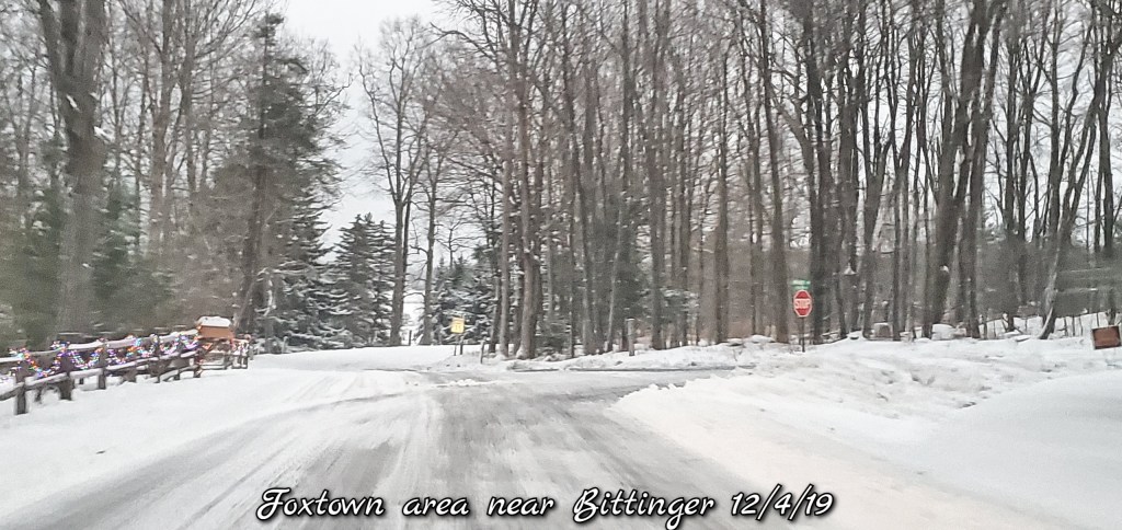
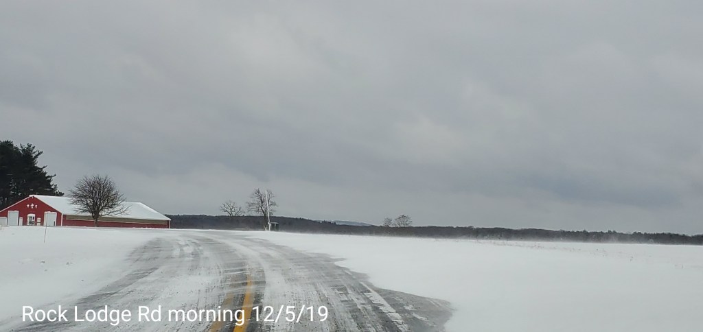
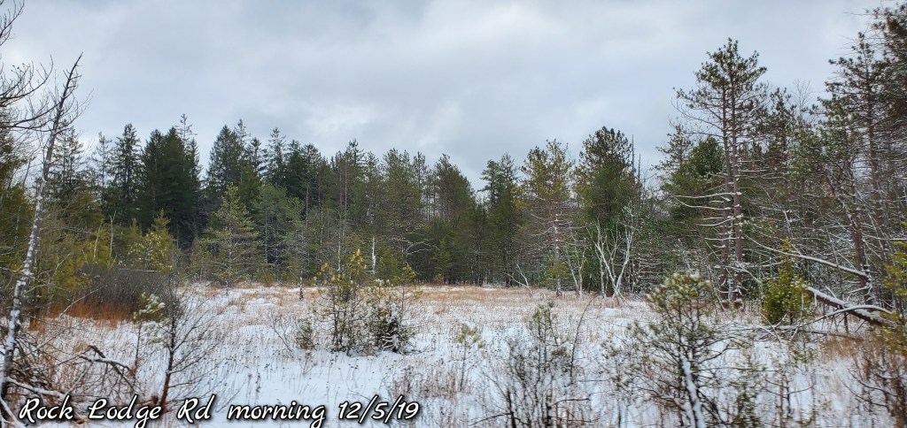
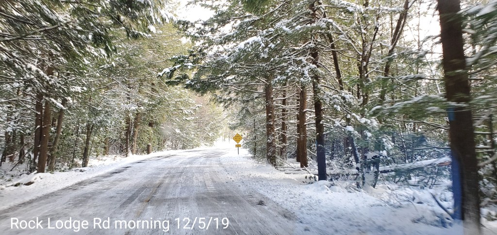
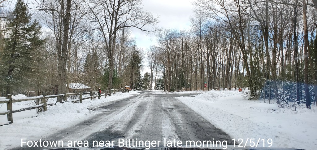
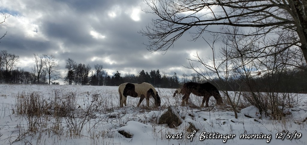
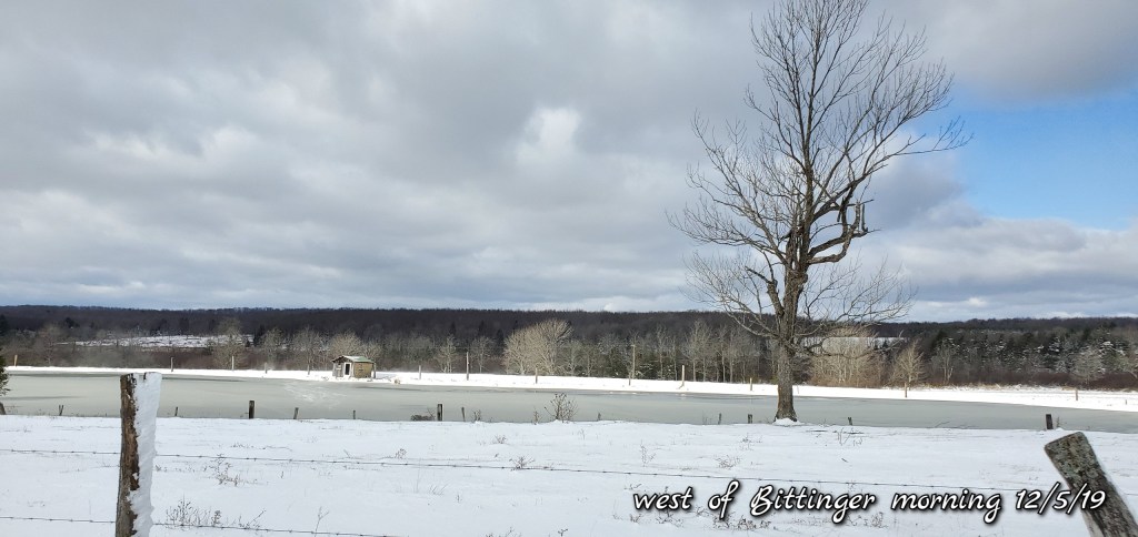
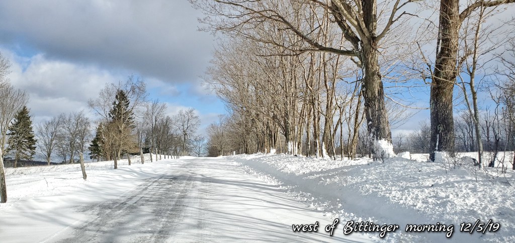
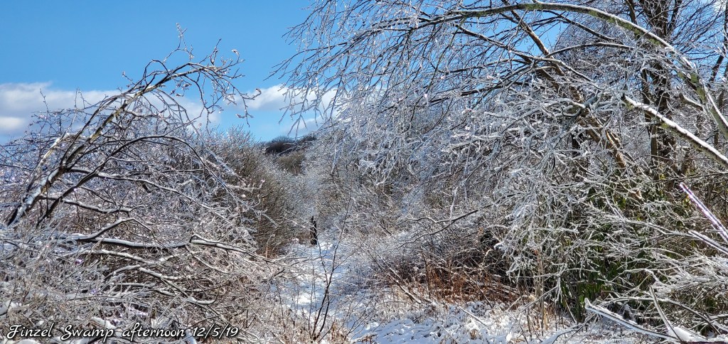
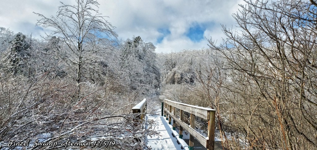
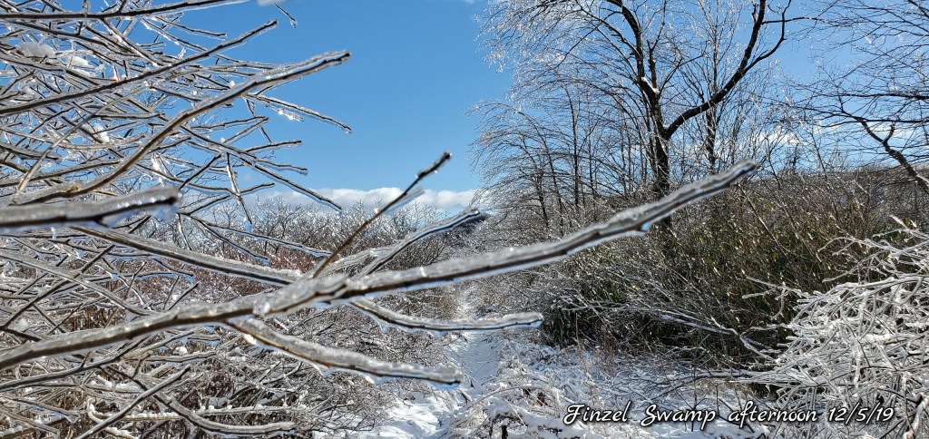
Pics today-
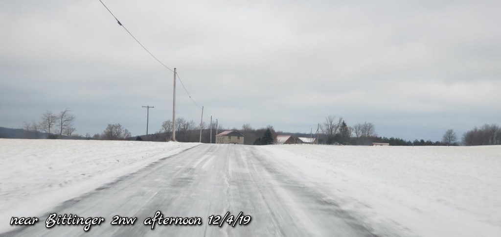
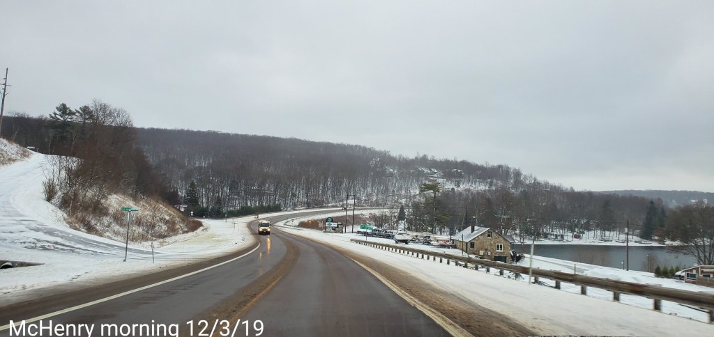
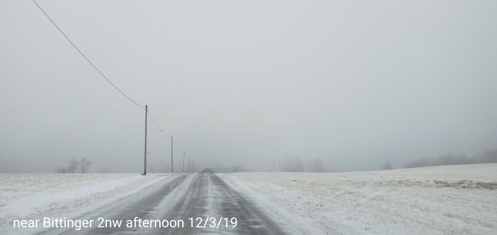
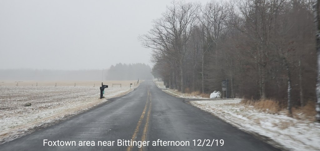
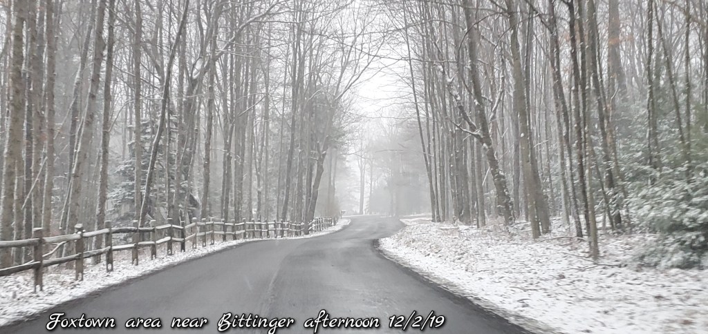
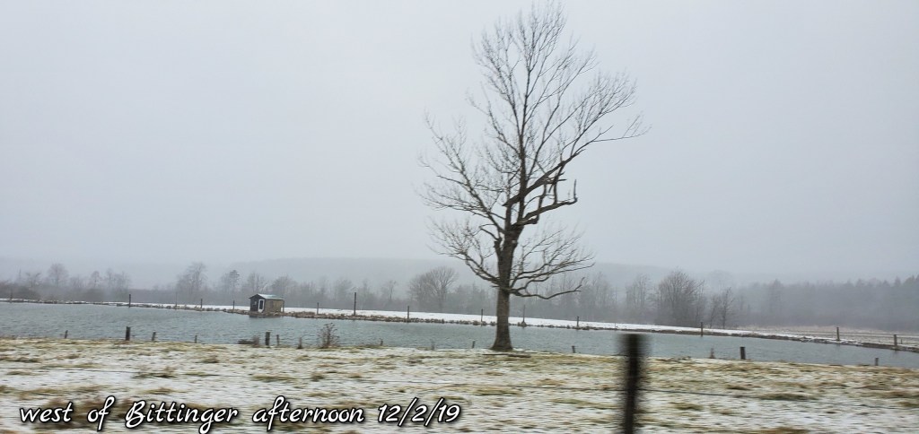
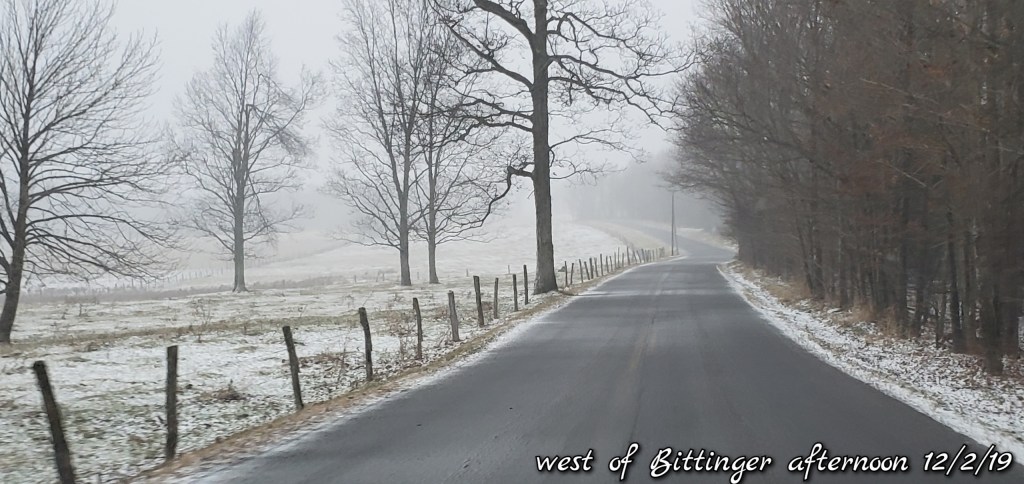
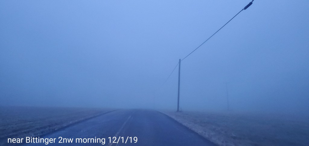
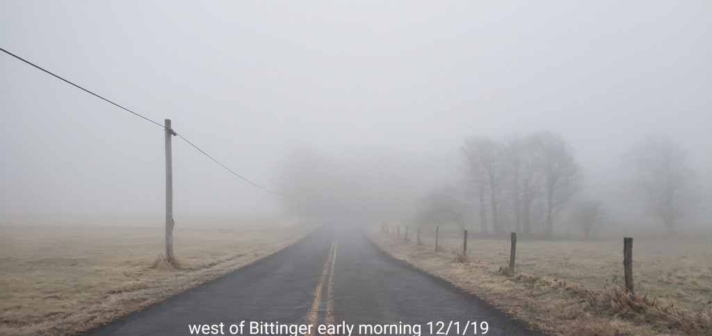
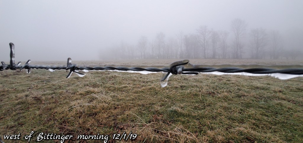
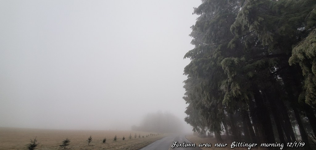
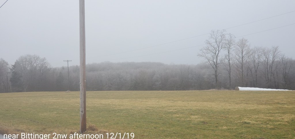
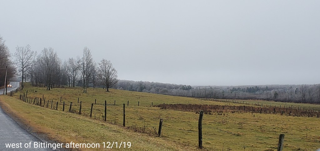
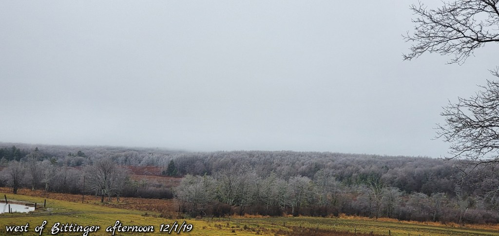
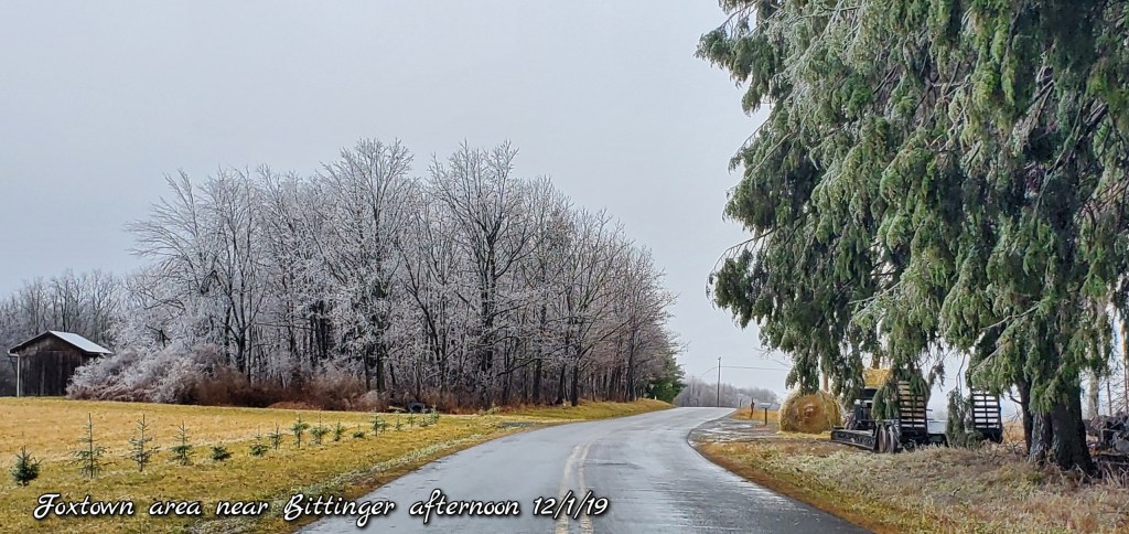
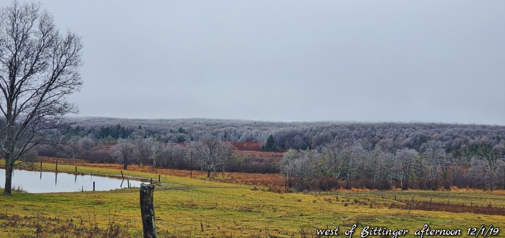
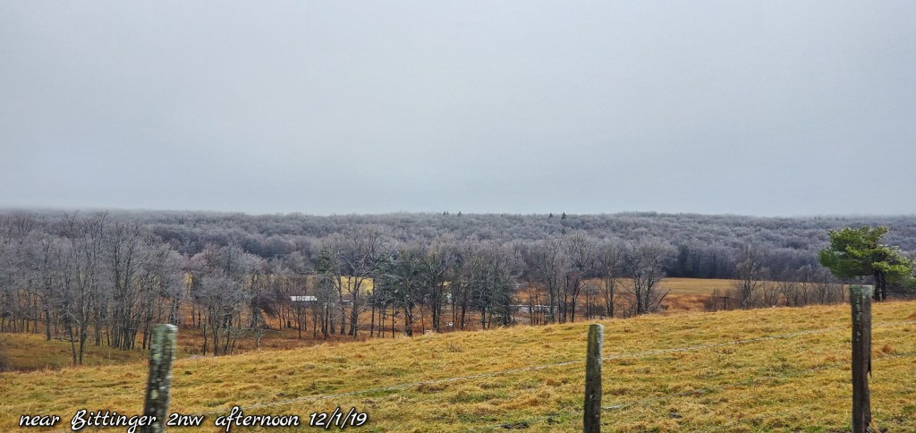
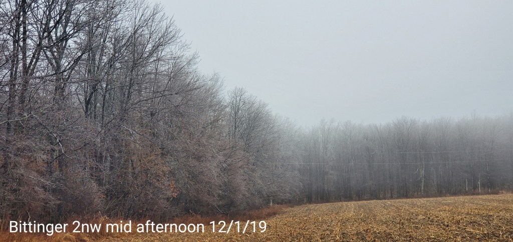
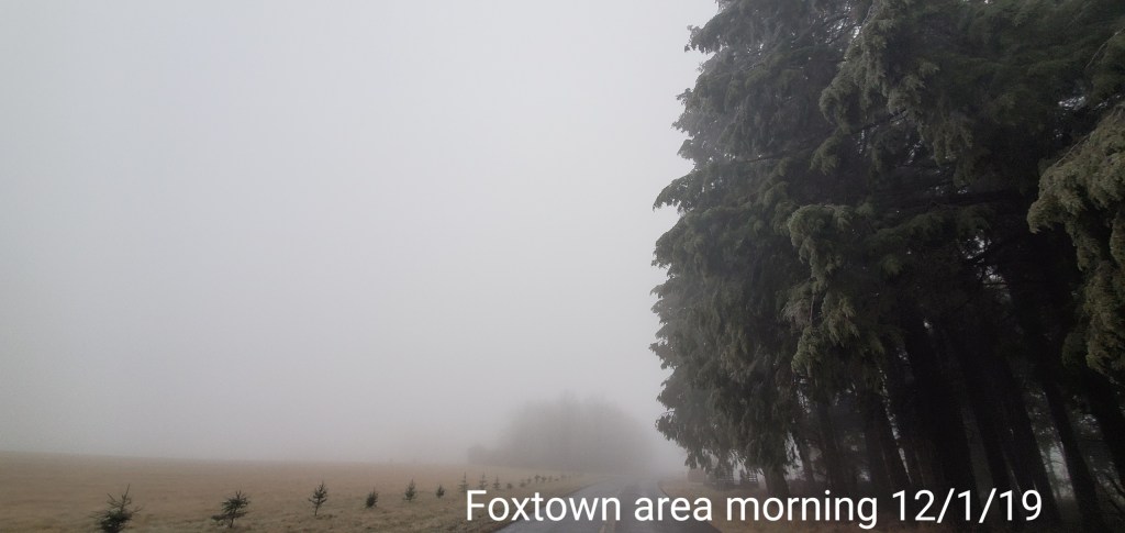
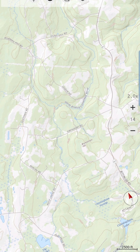
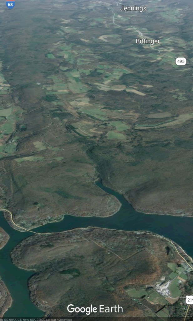
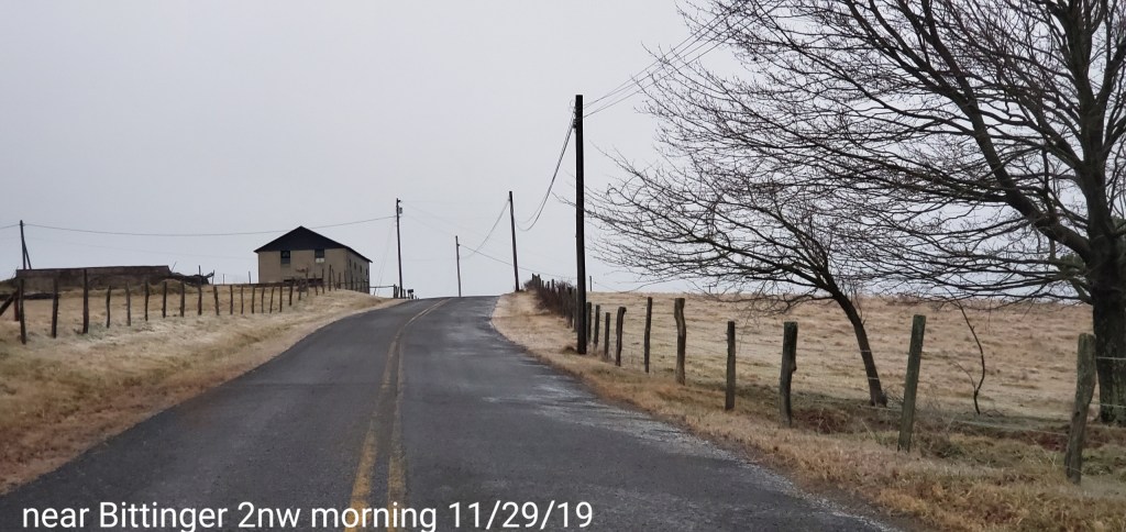
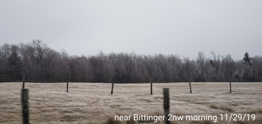
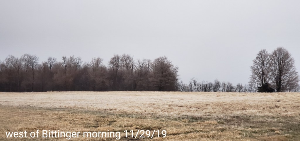
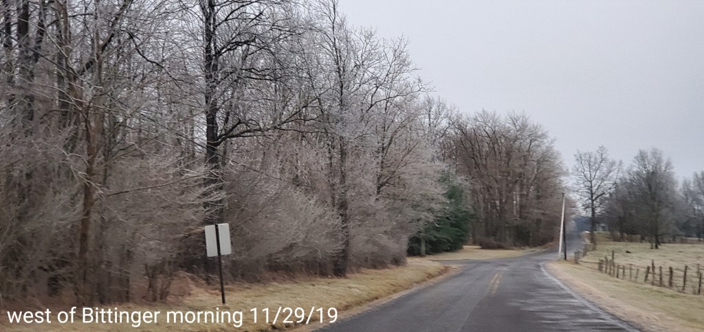
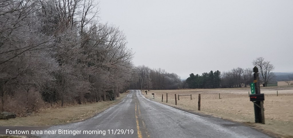
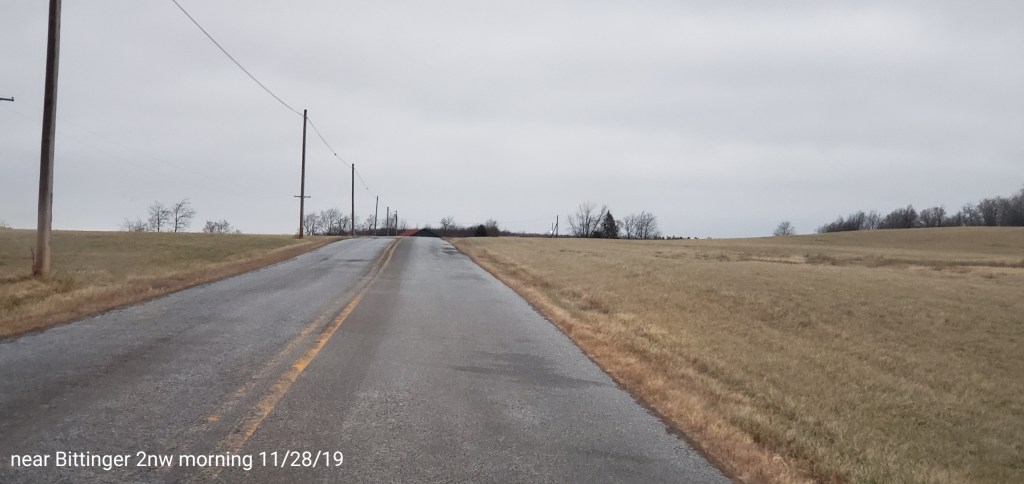
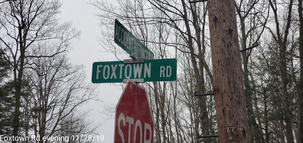
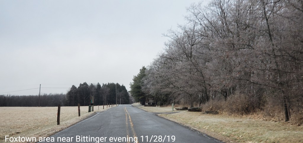
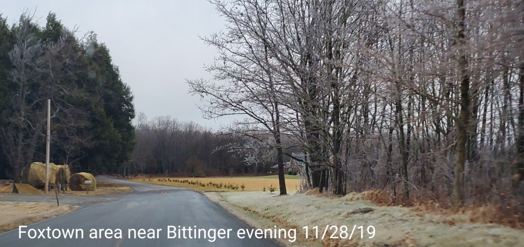
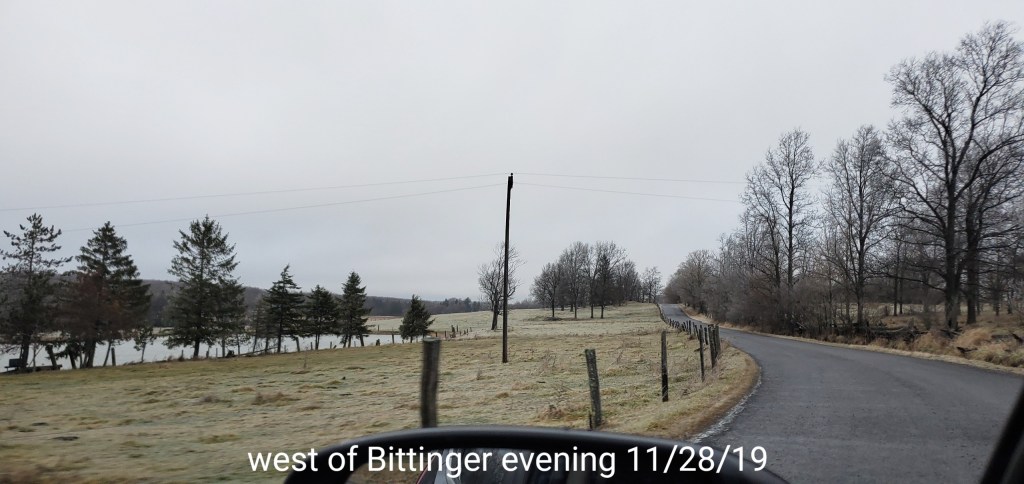
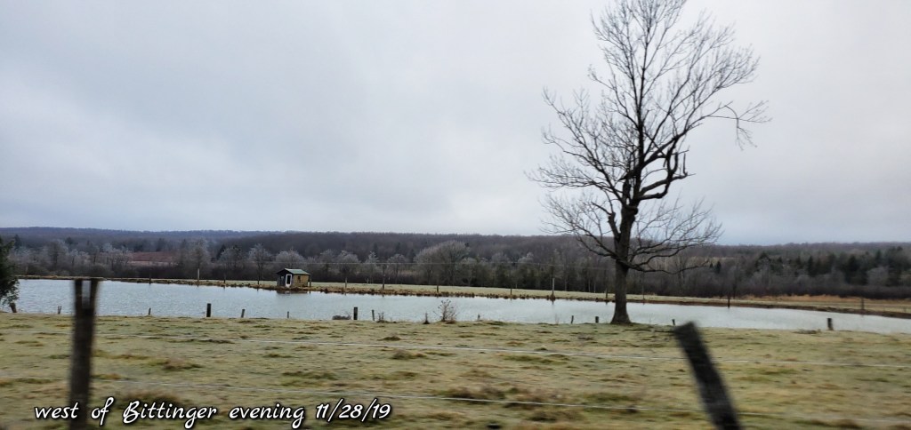
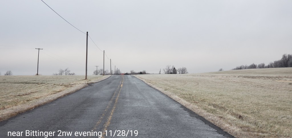
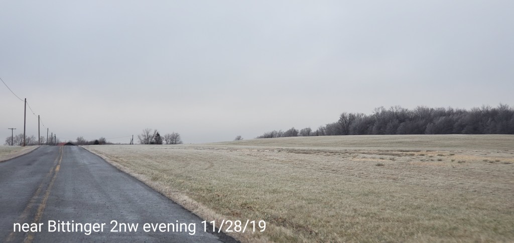
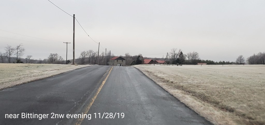
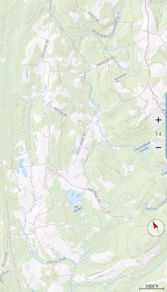
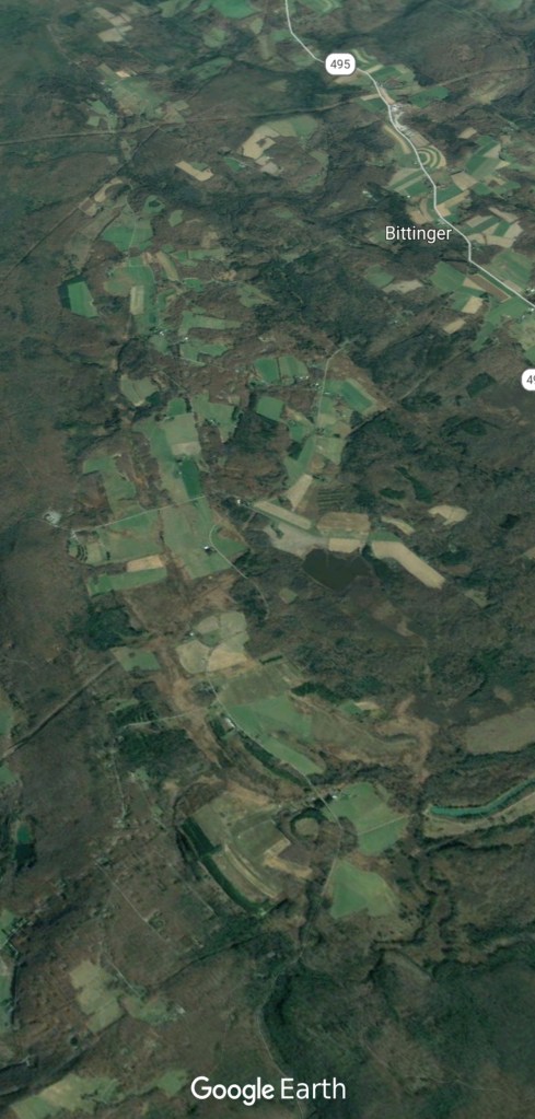
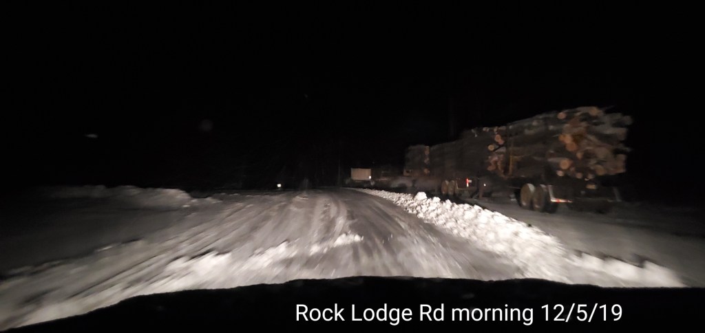
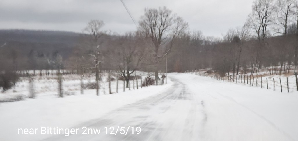
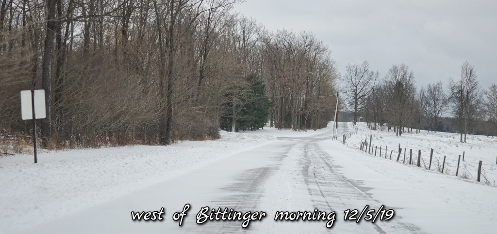
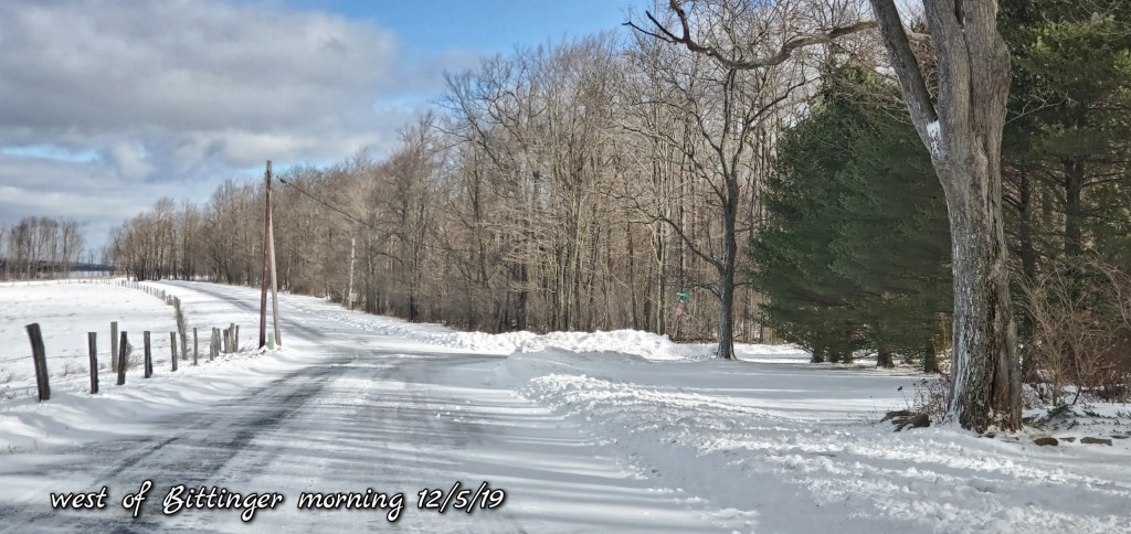
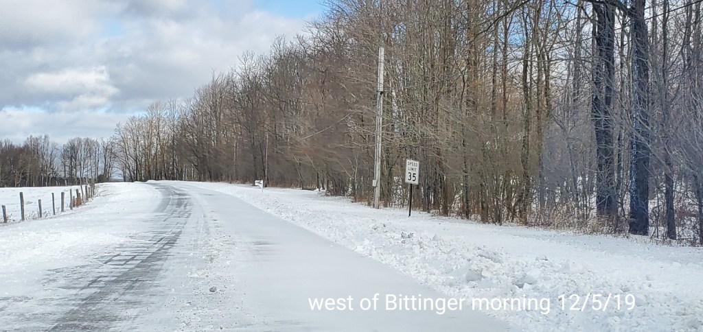
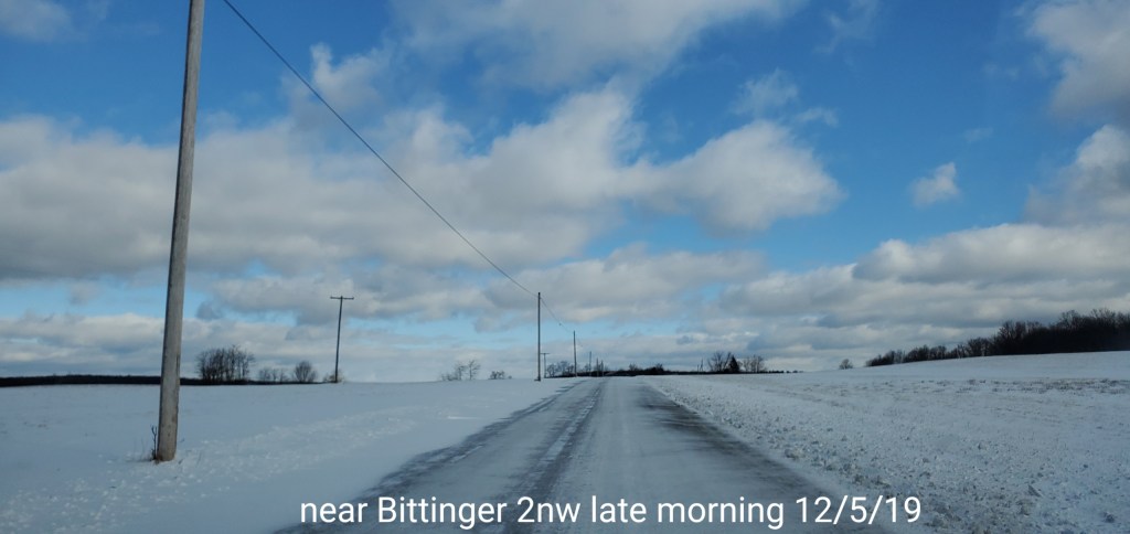
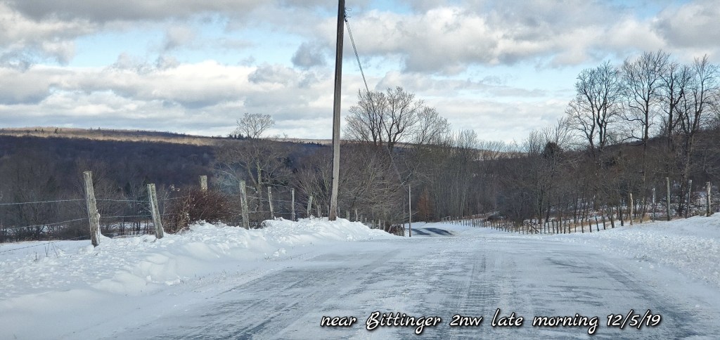
Bittinger area


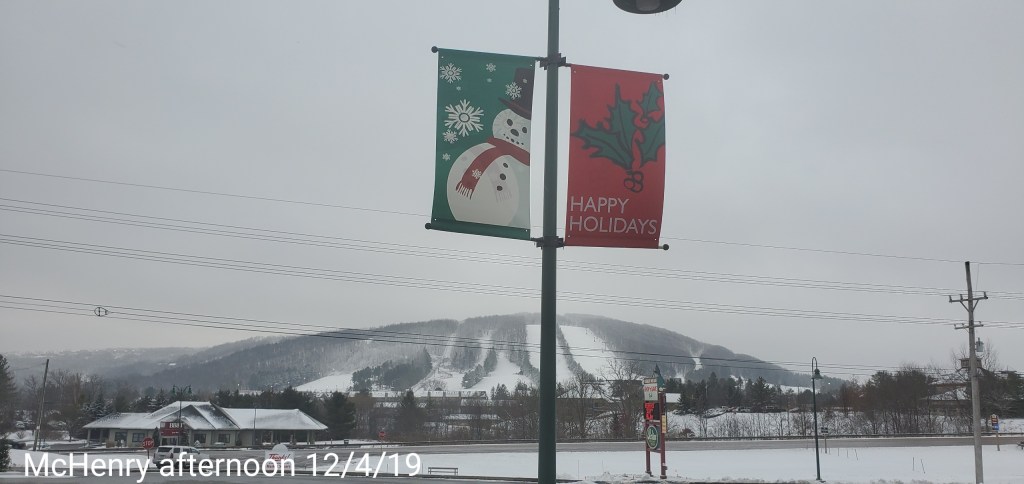
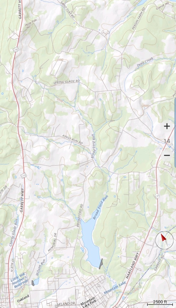
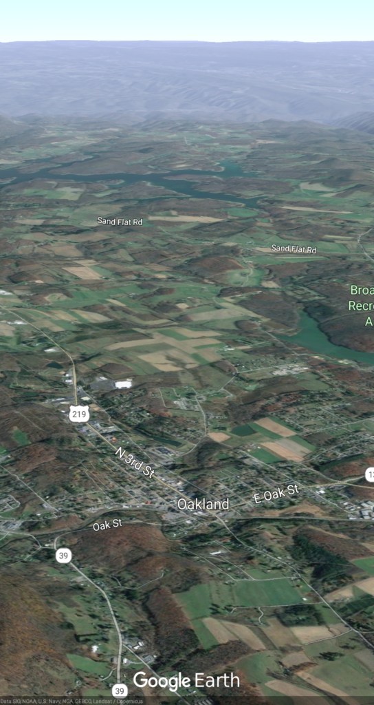
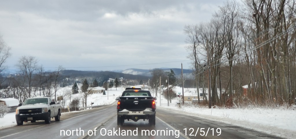
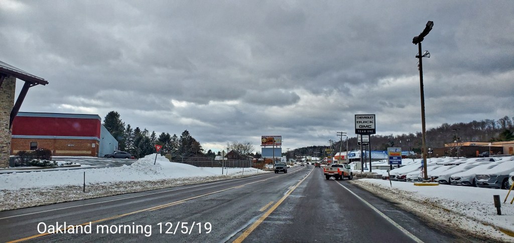
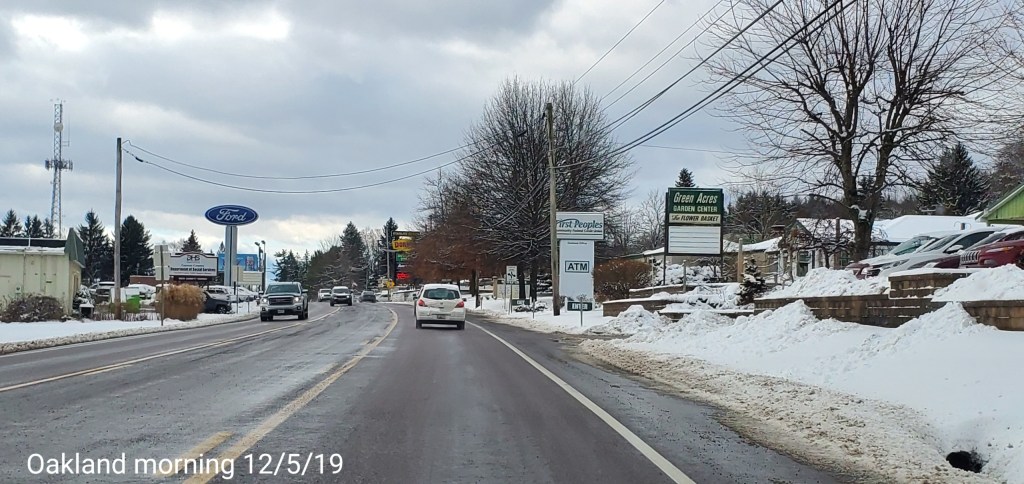
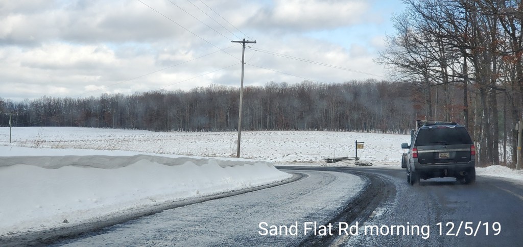
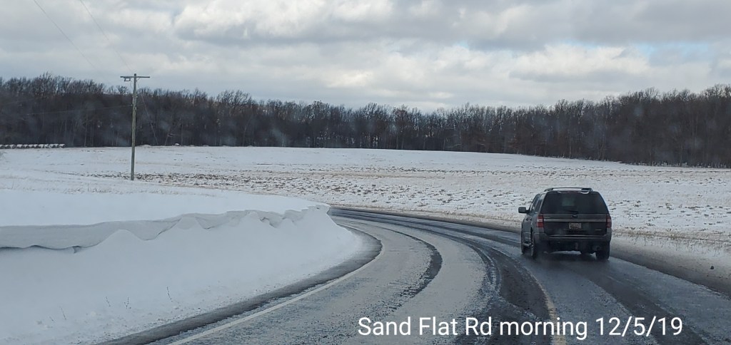
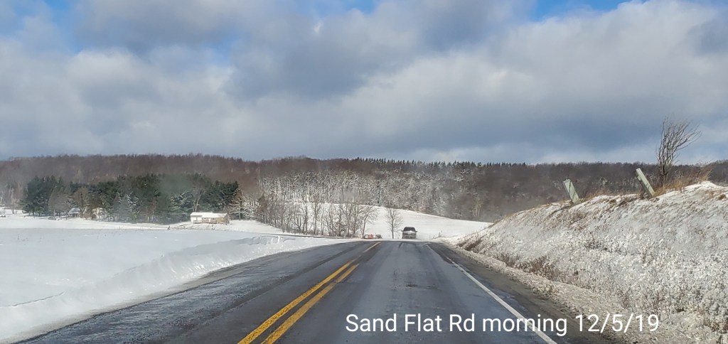
Oakland/Sand Flat area

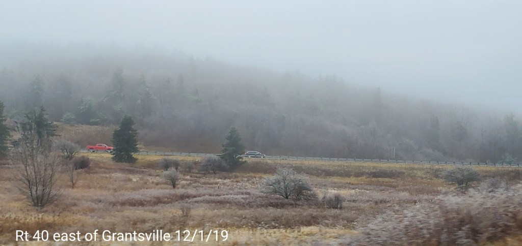
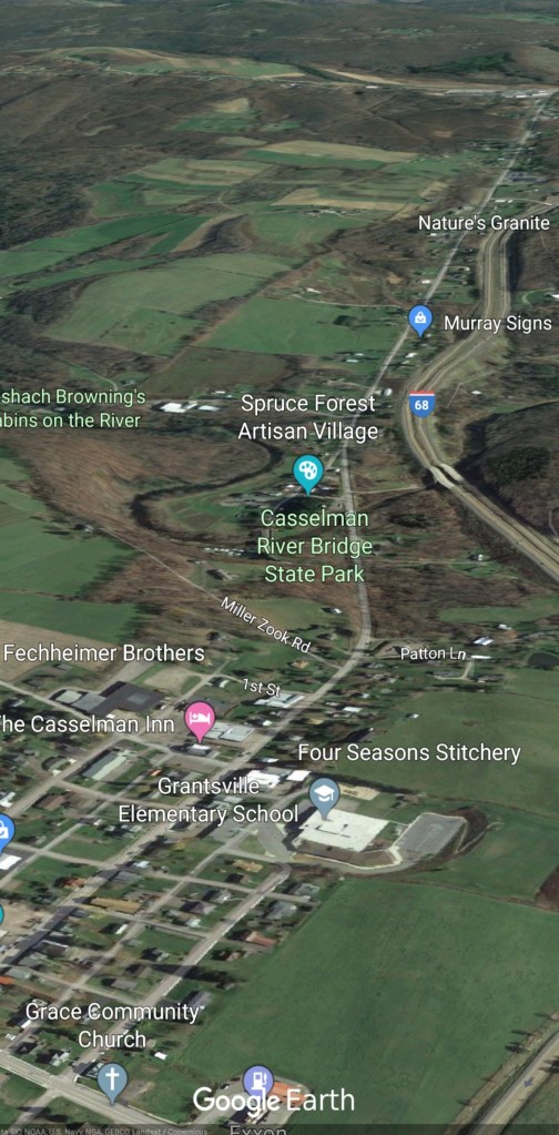
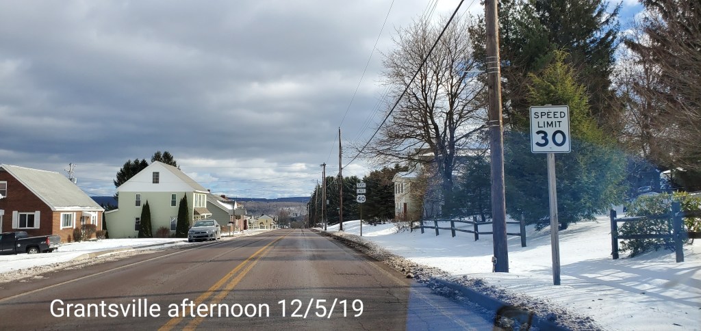
Grantsville area

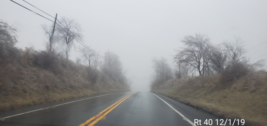
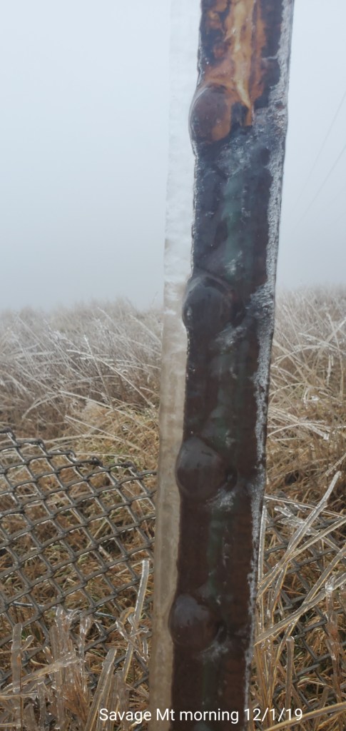
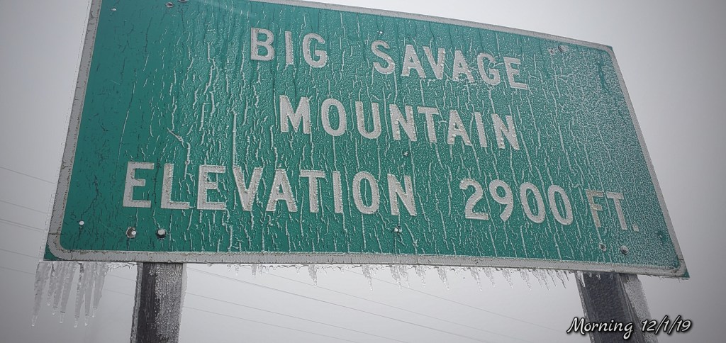
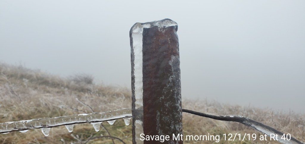
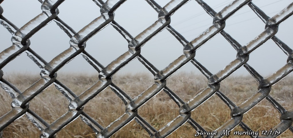
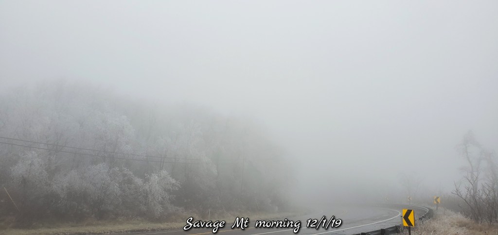
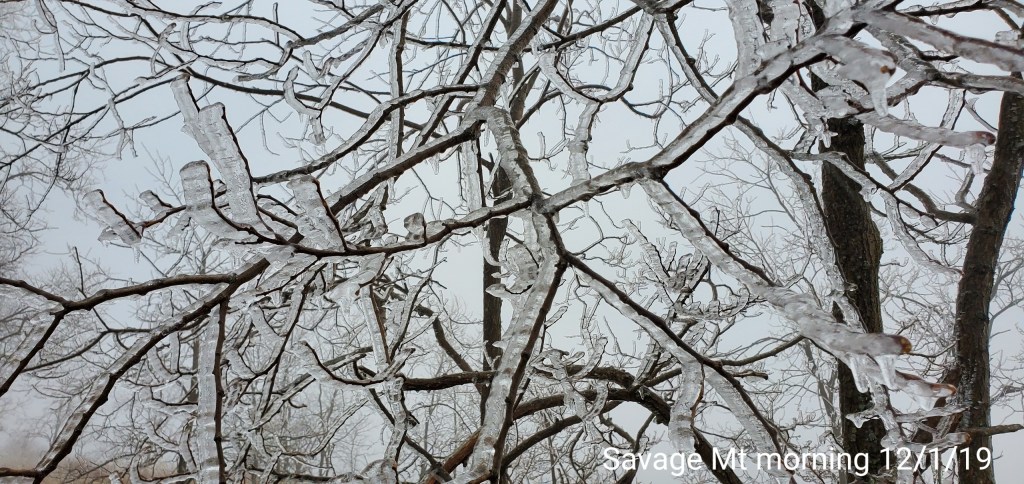
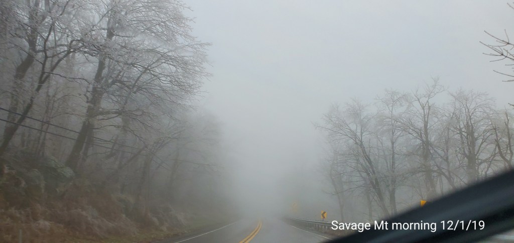
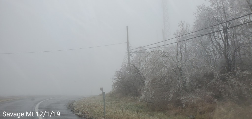
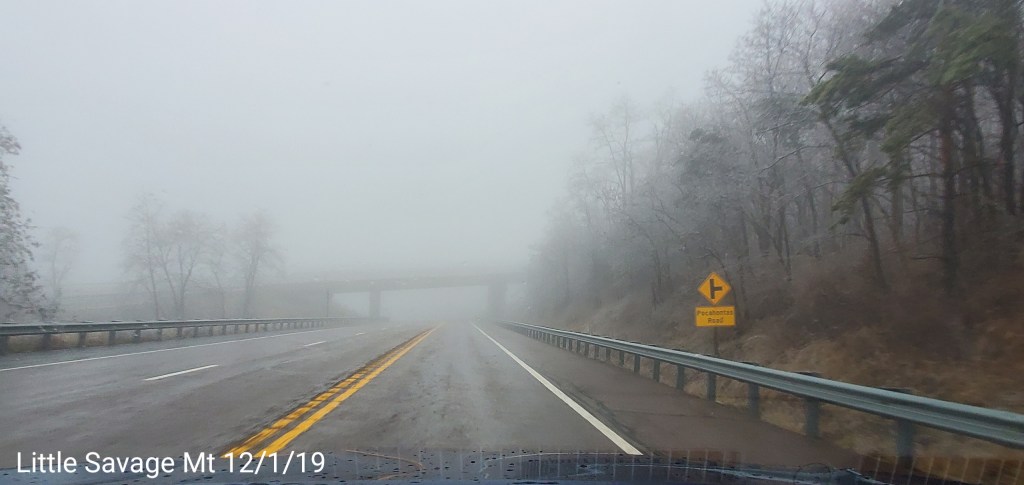
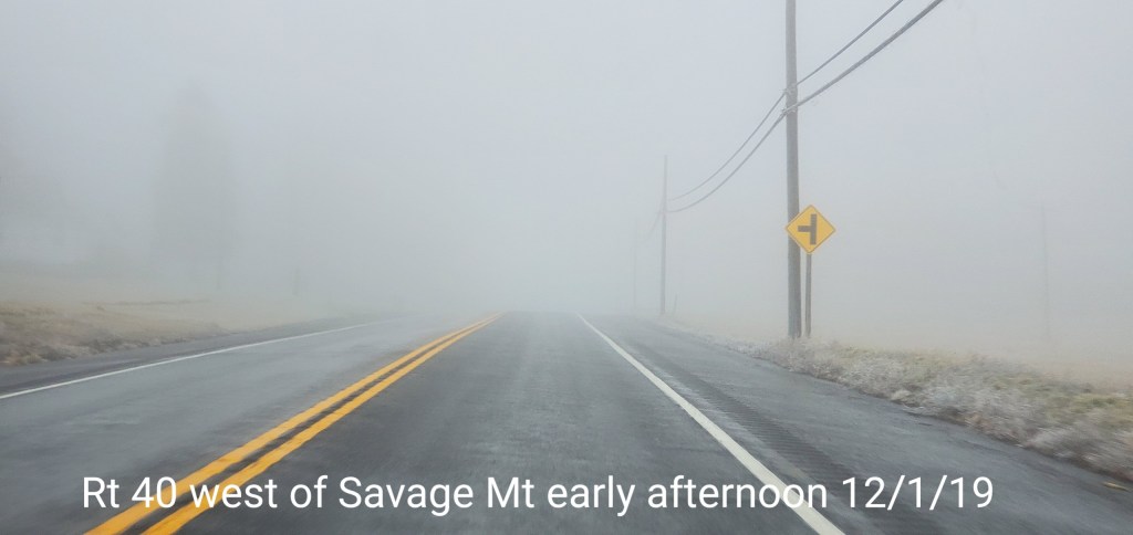
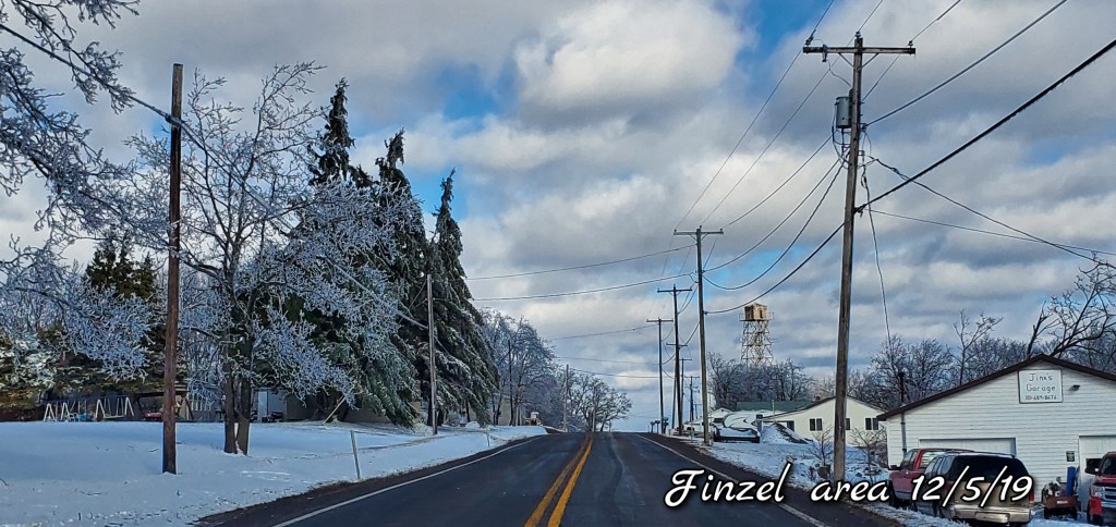
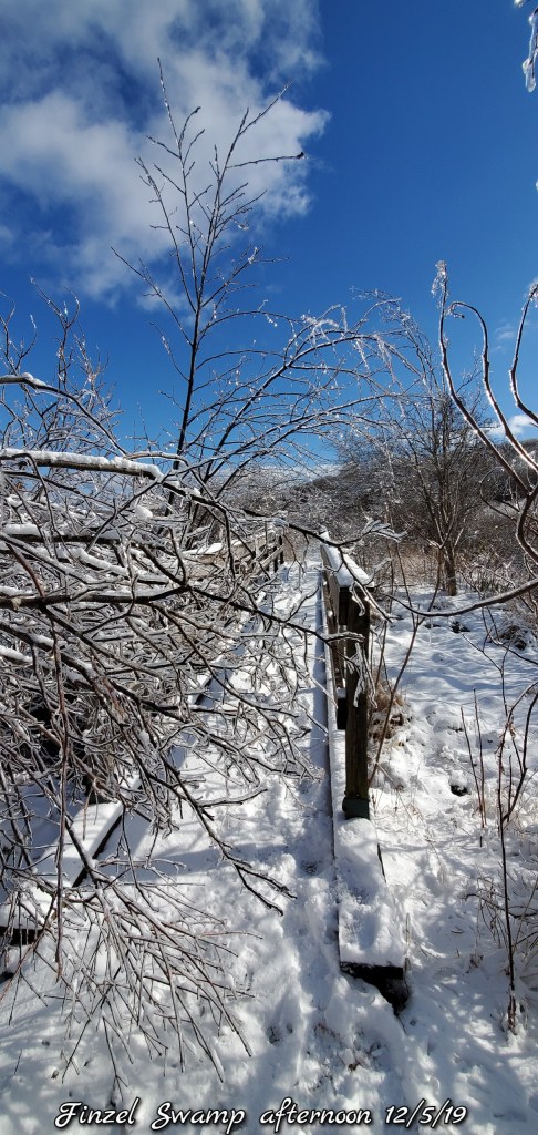
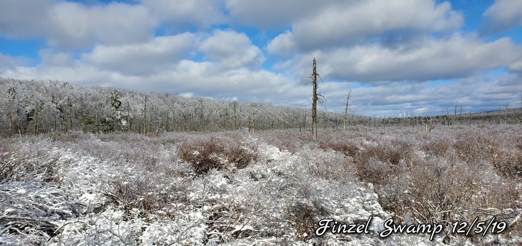
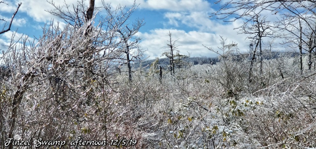
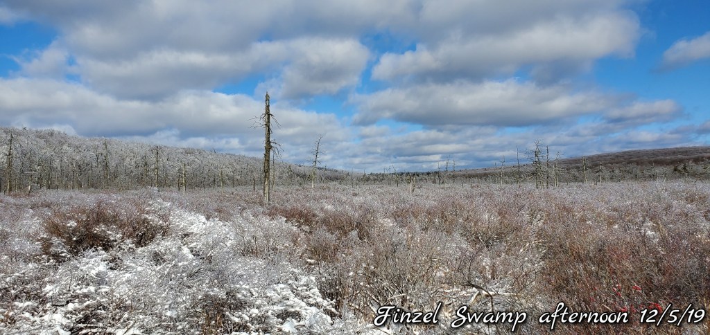
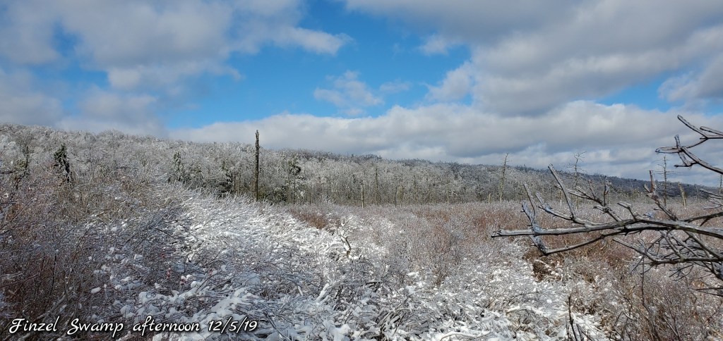
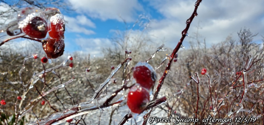
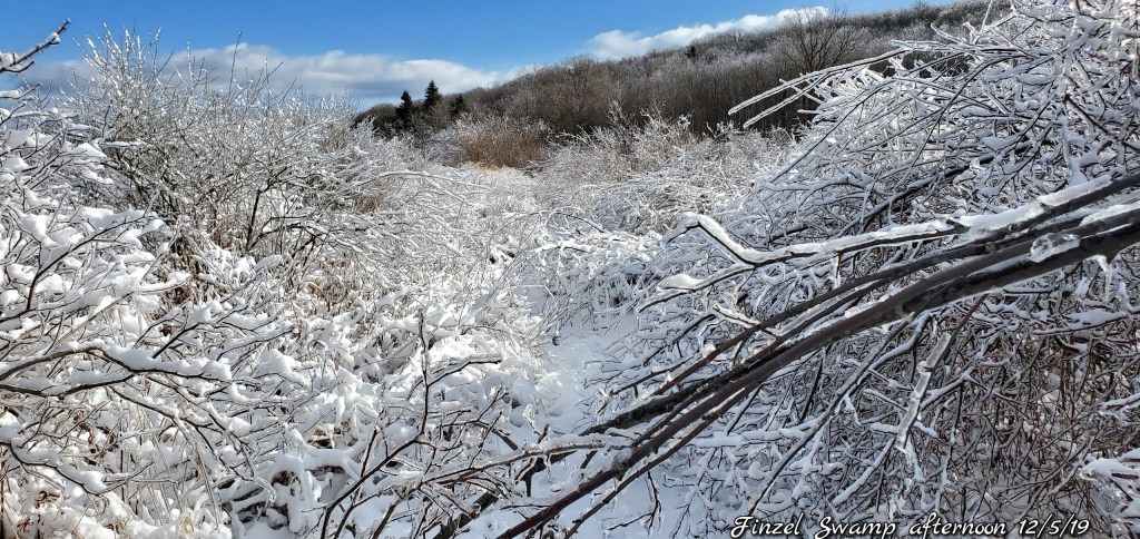
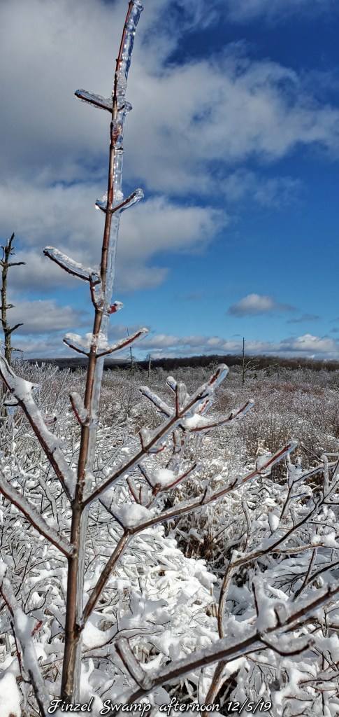
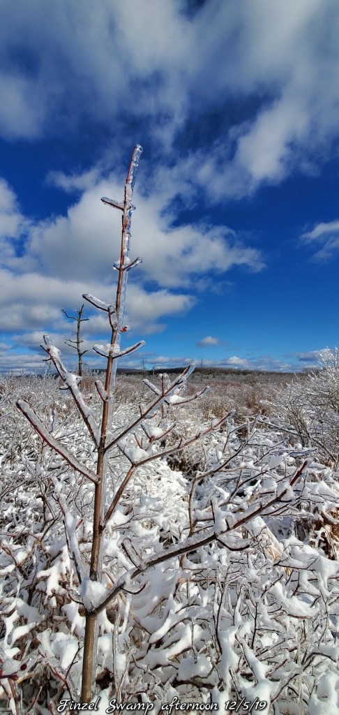
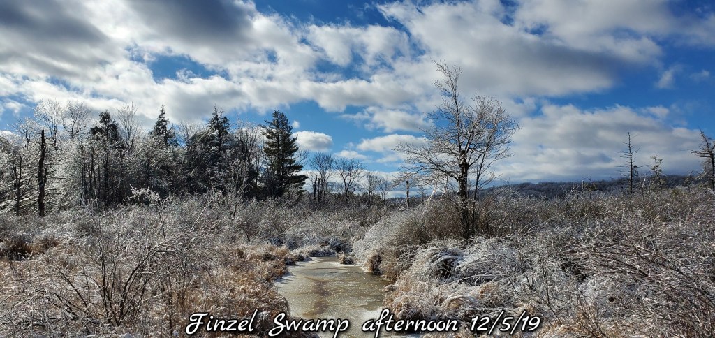
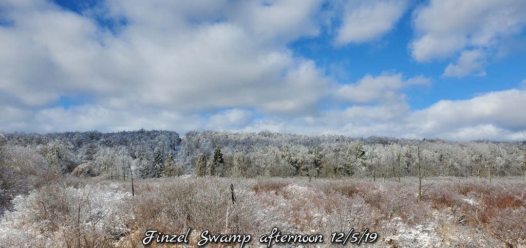
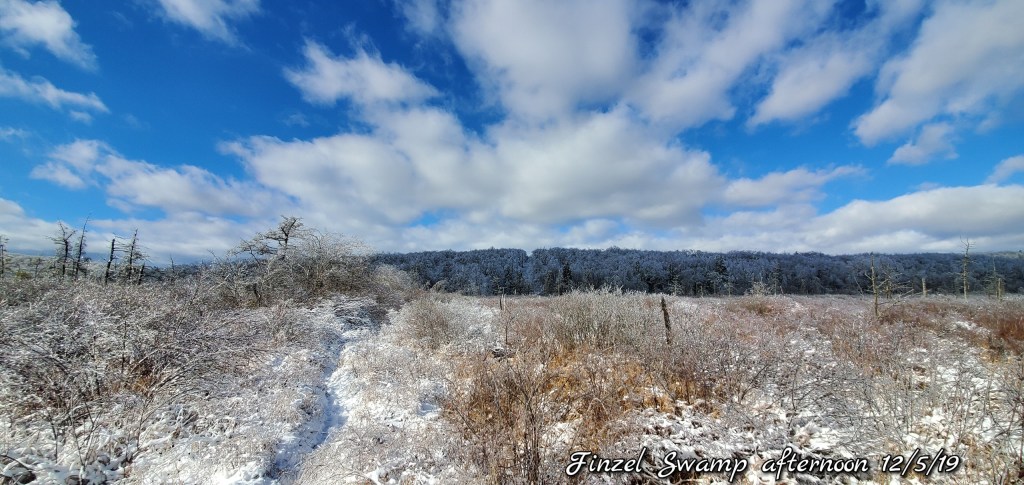
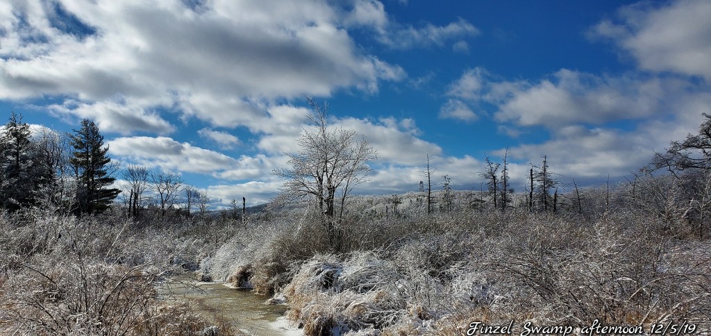
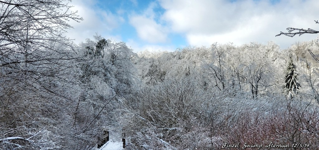
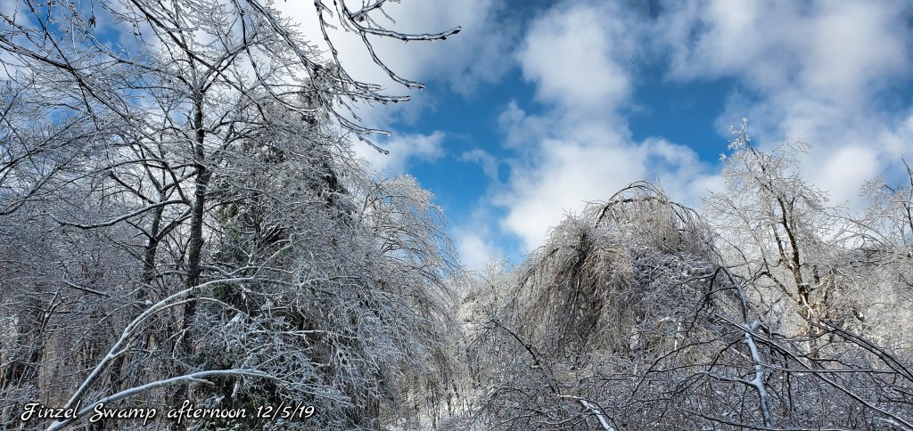
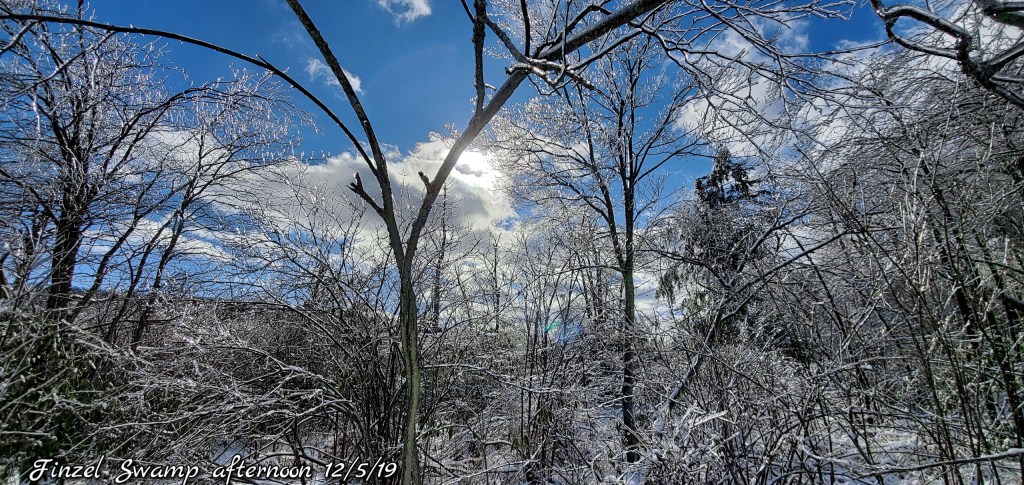
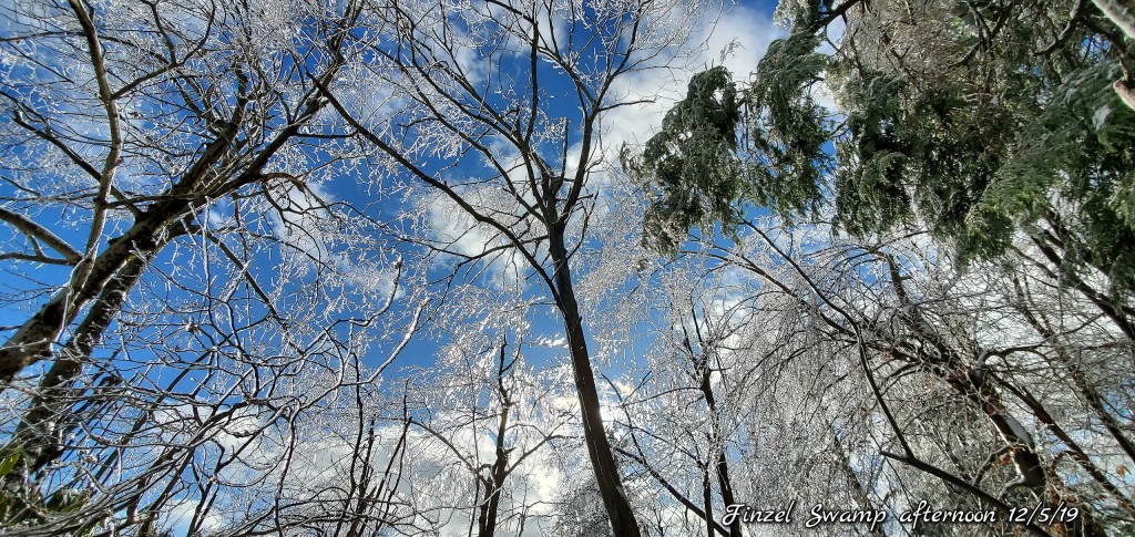
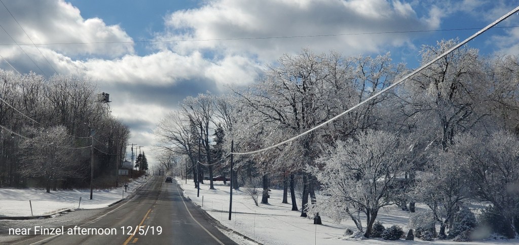
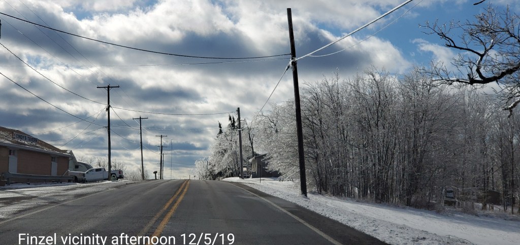
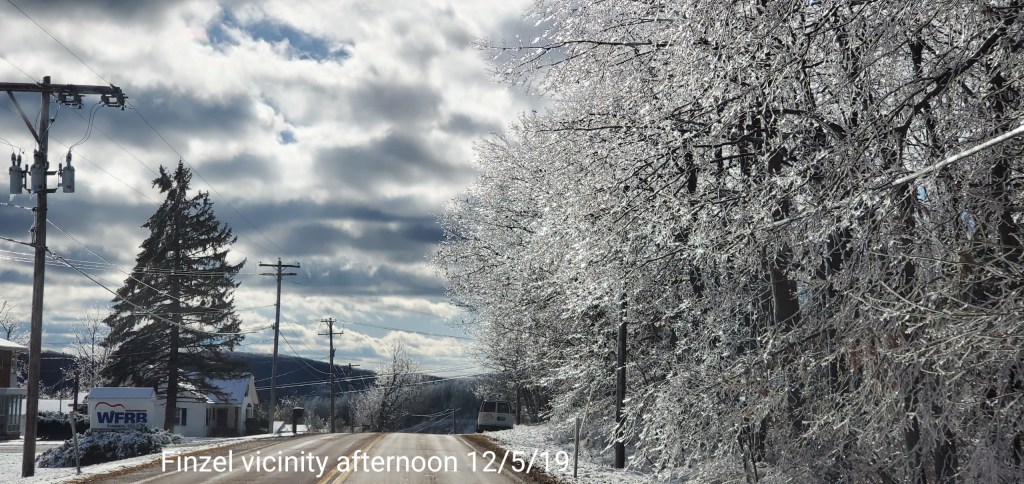
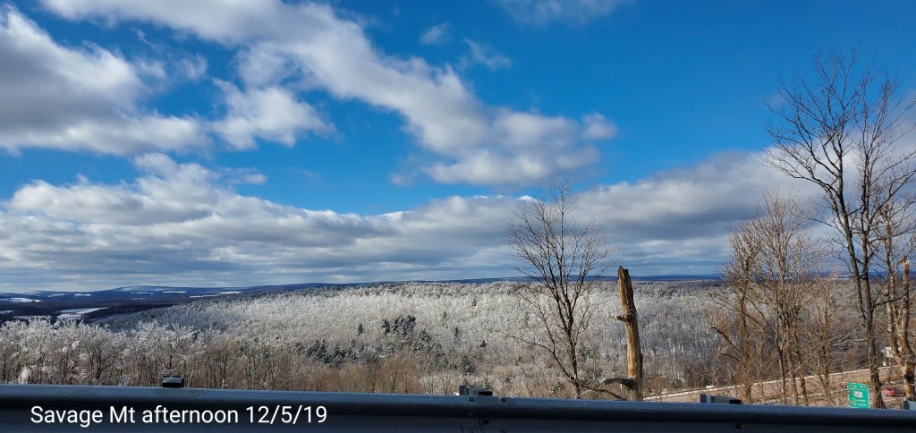
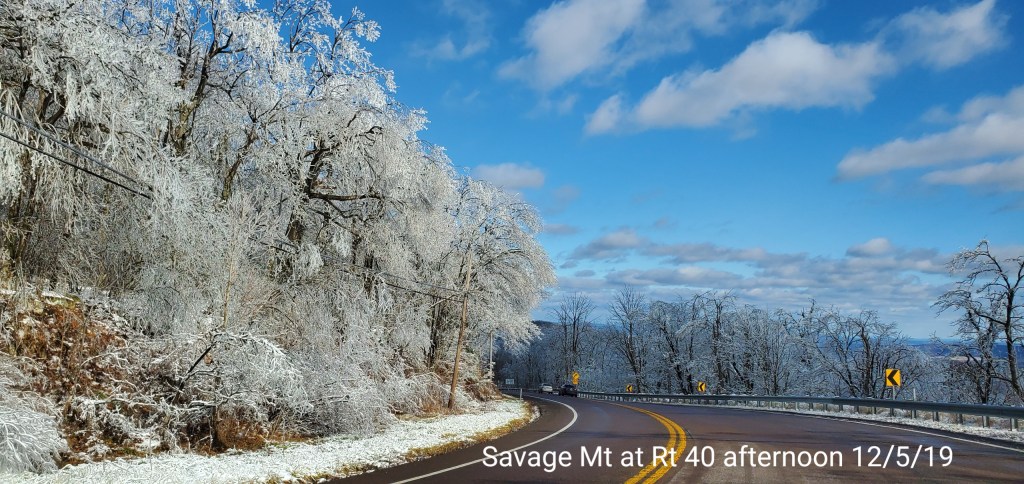
Savage Mt/Finzel area
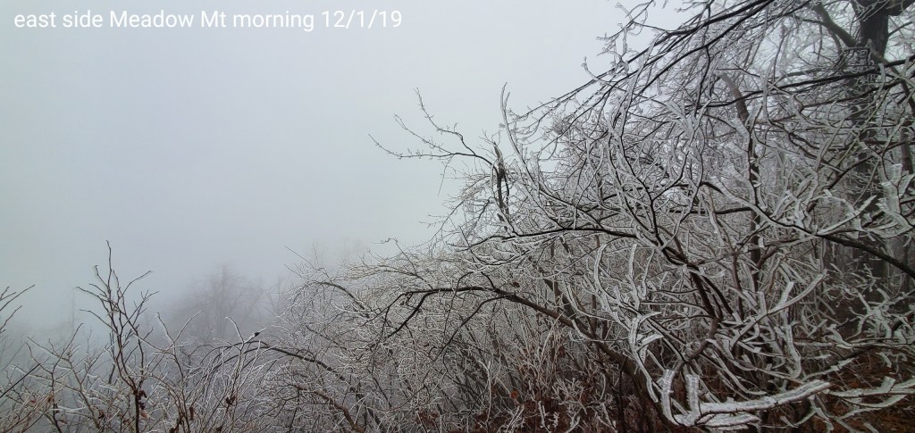
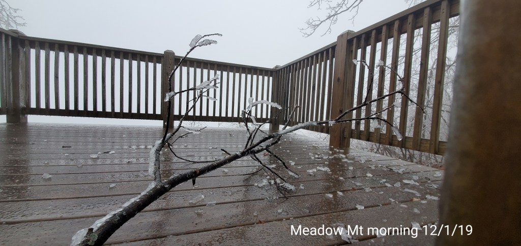
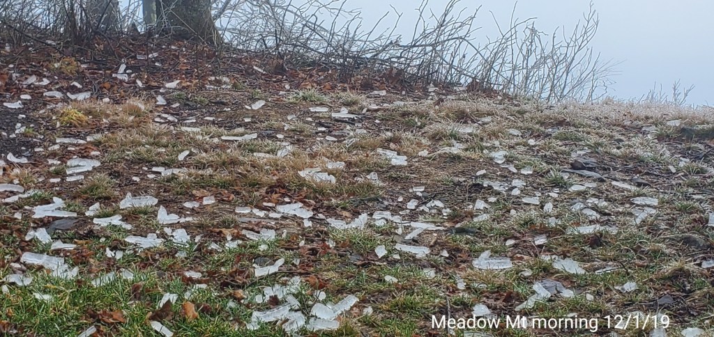
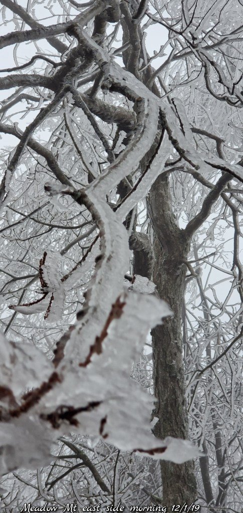
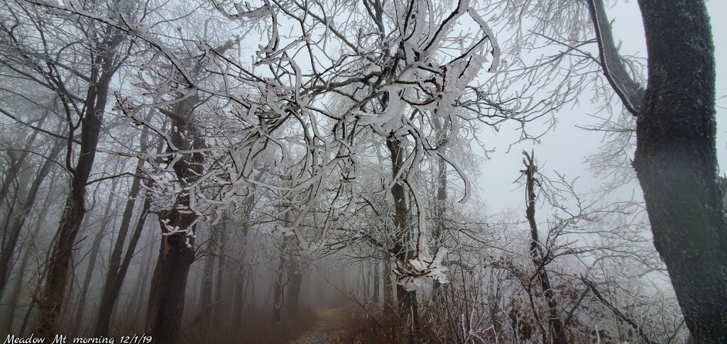
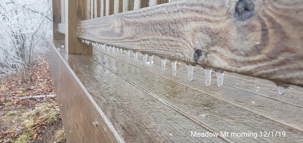
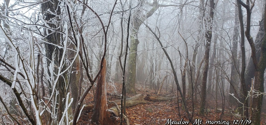
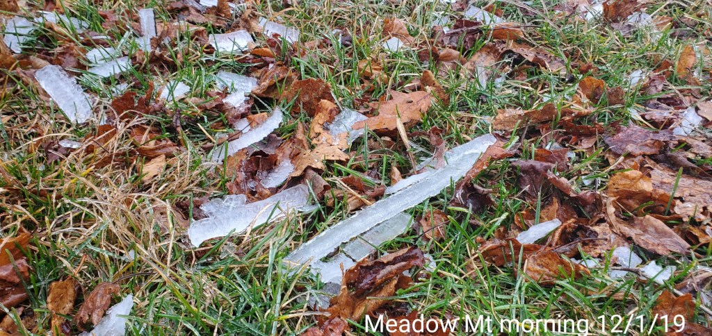
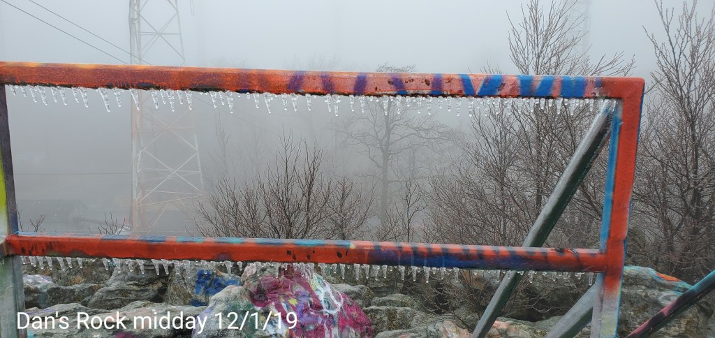
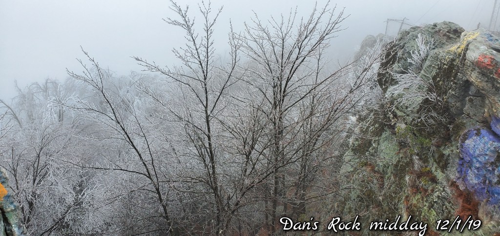
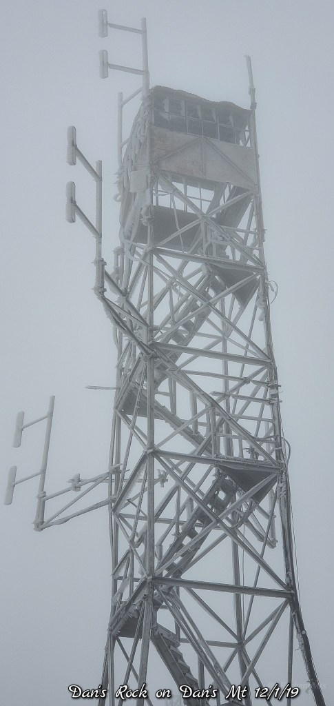
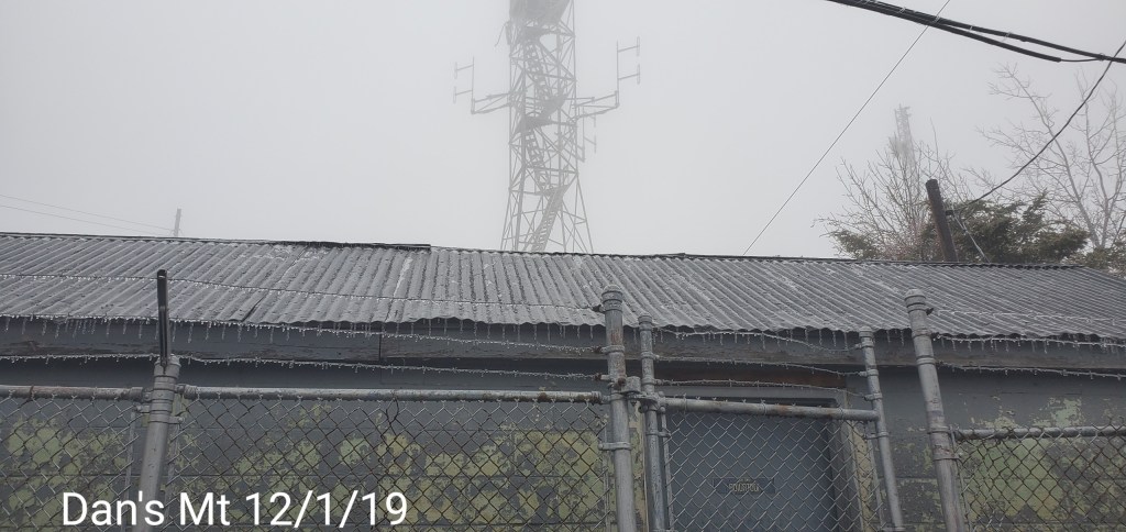
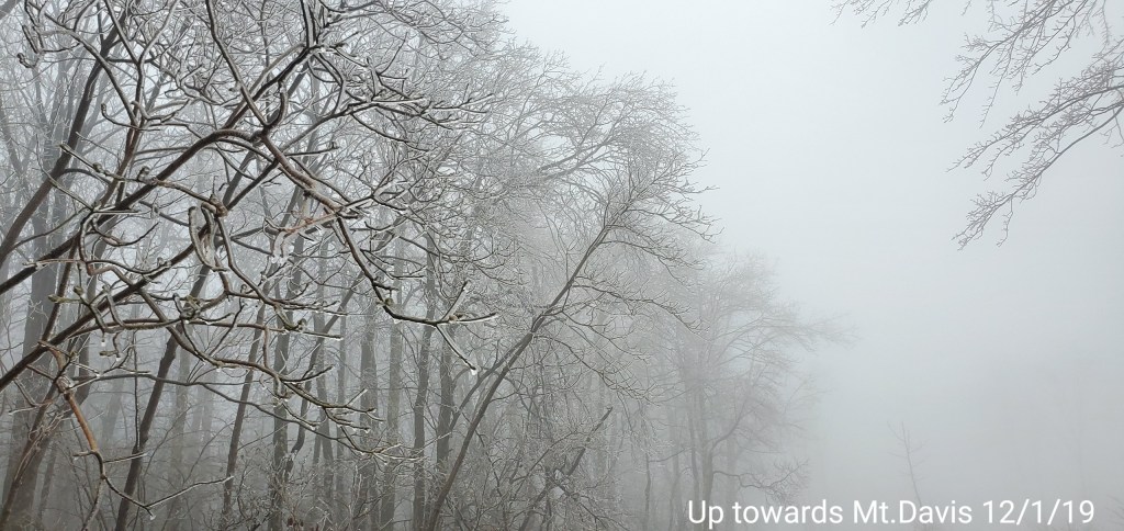
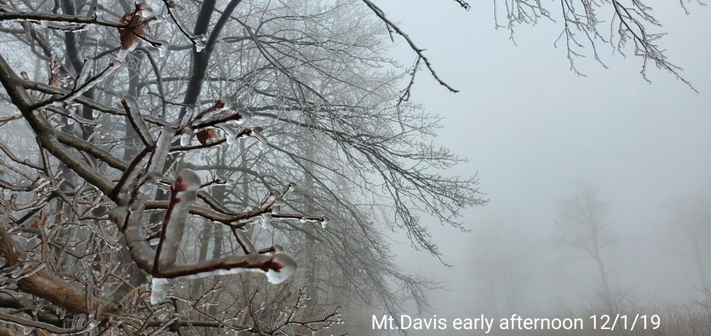
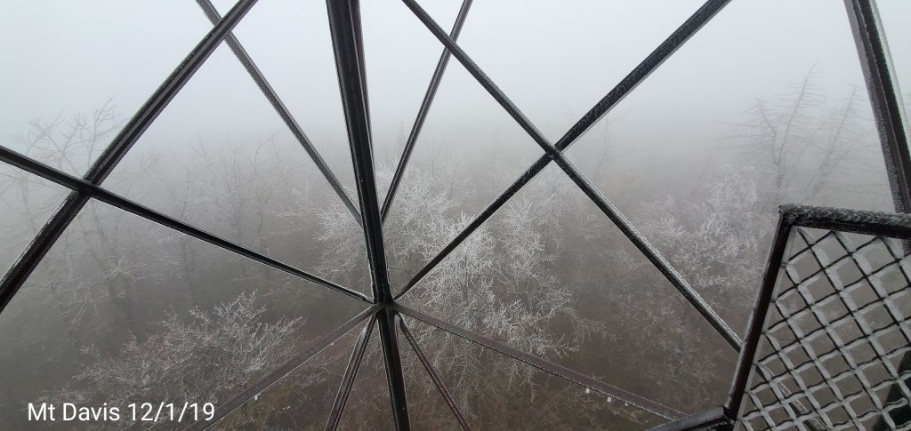
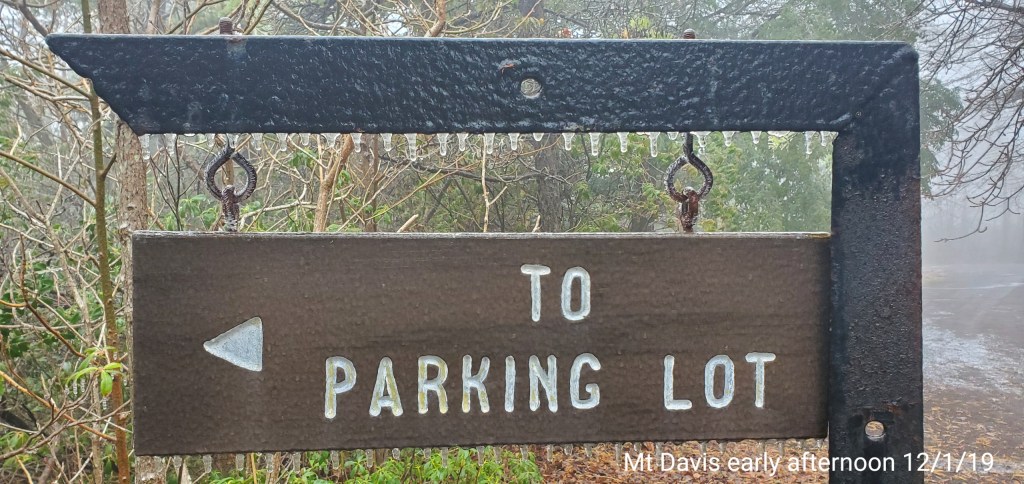
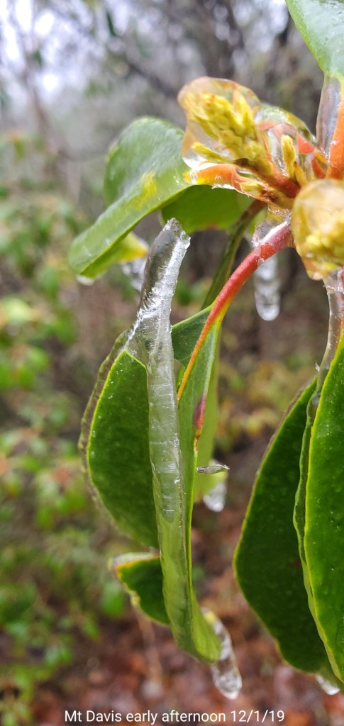
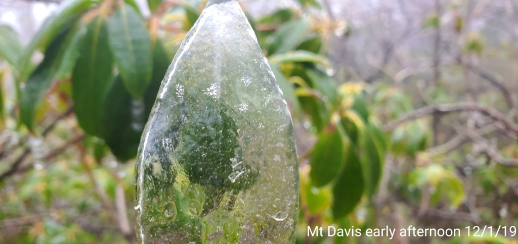
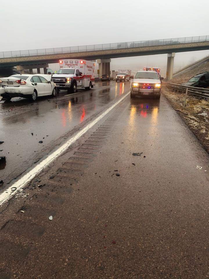
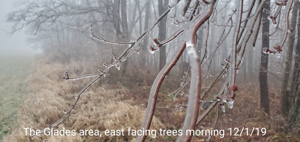
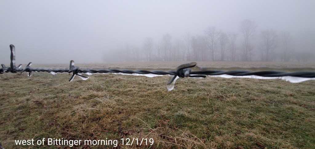
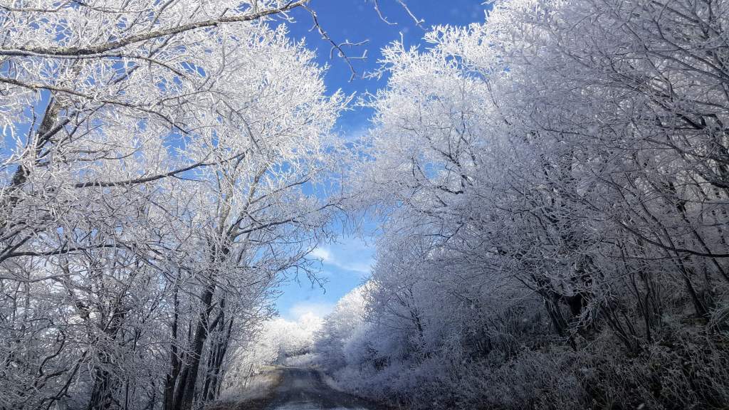
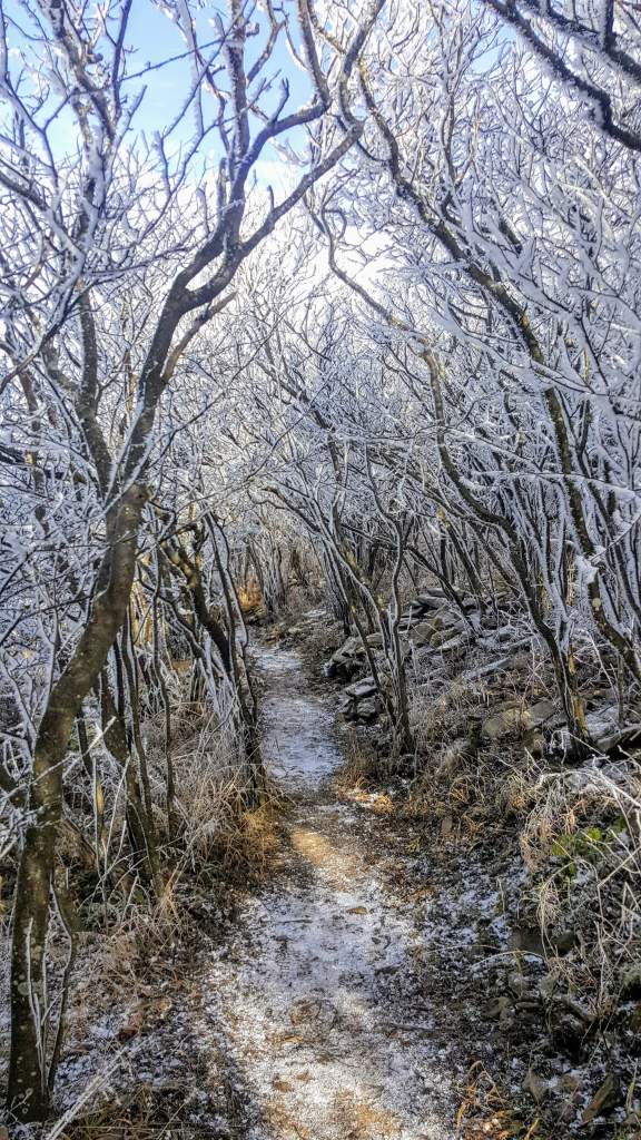
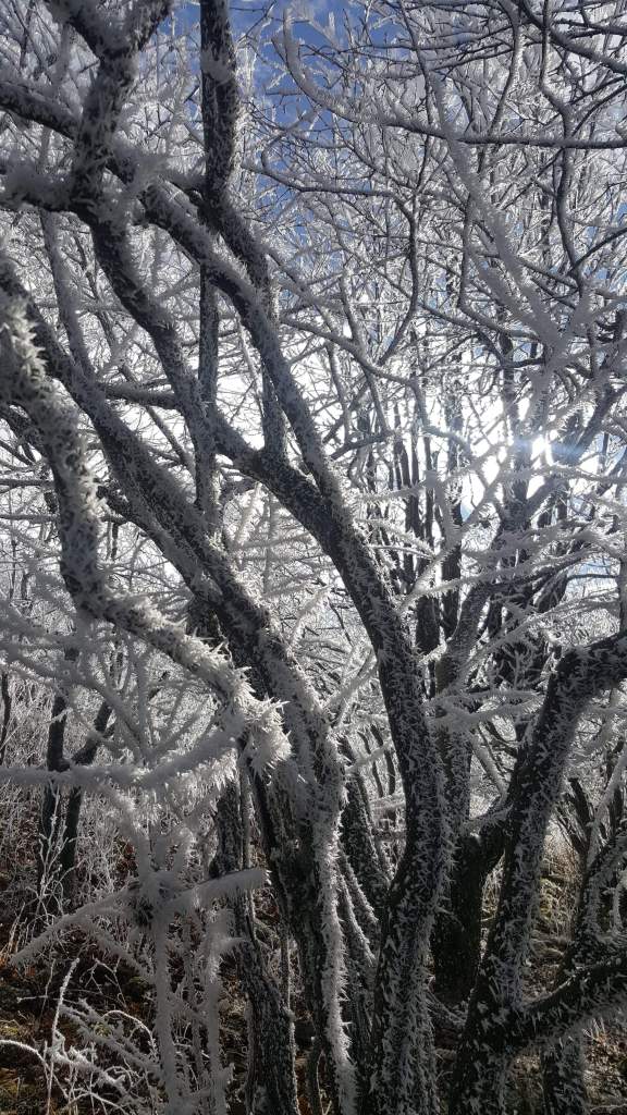
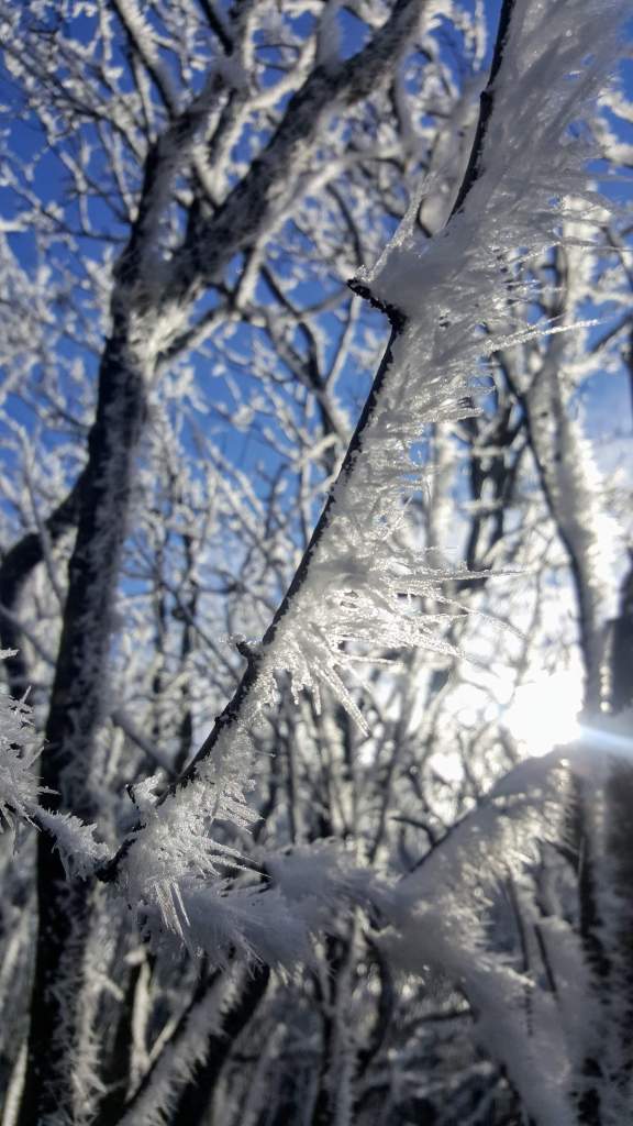
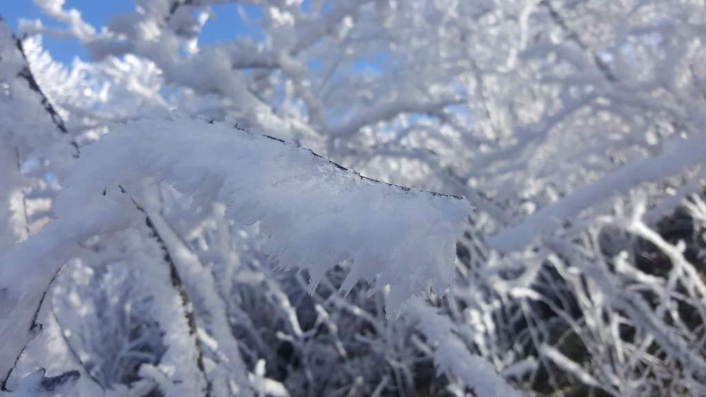
Ice remaining in this area since the Saturday night/Sunday ice event
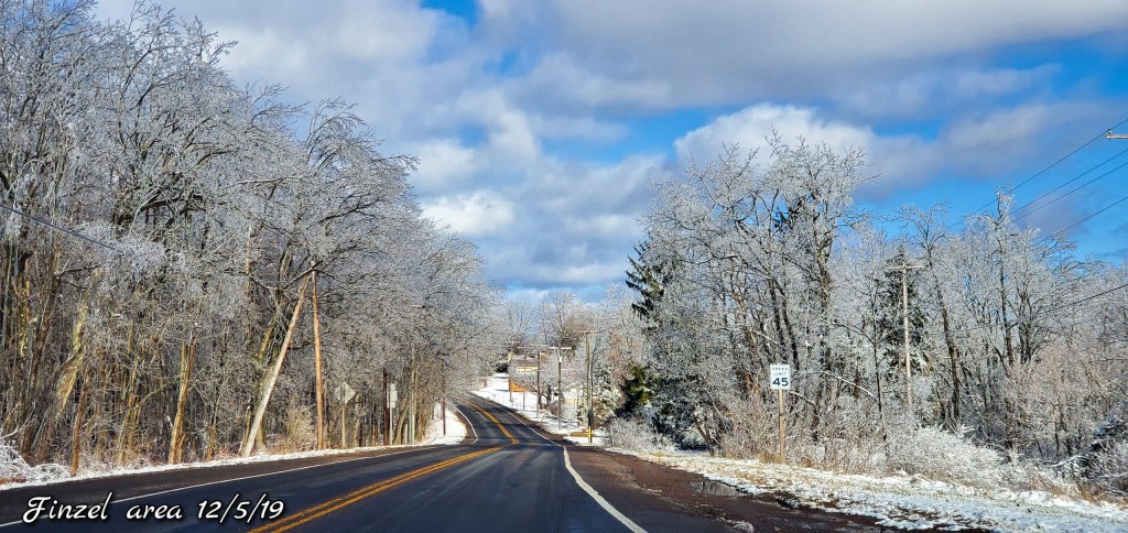


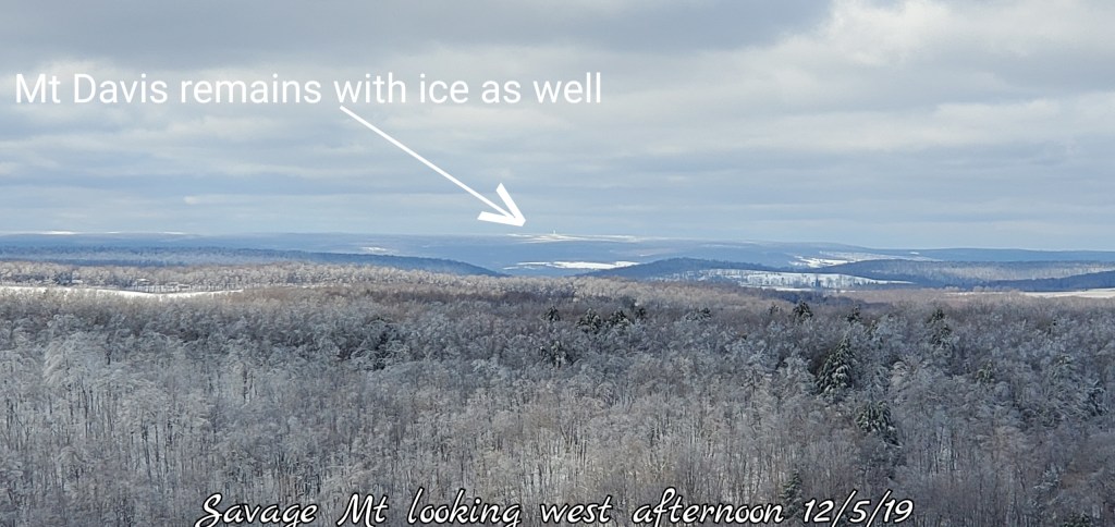
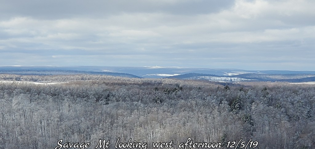
Savage Mt looking at Mt. Davis all iced in yet from Sunday

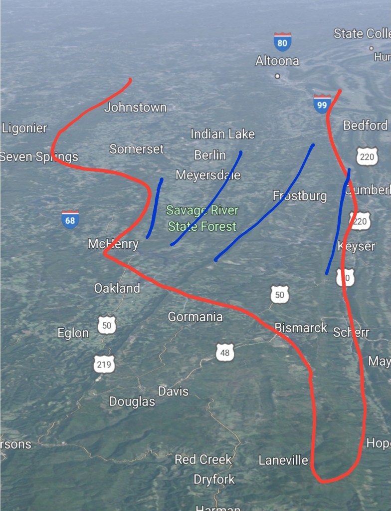
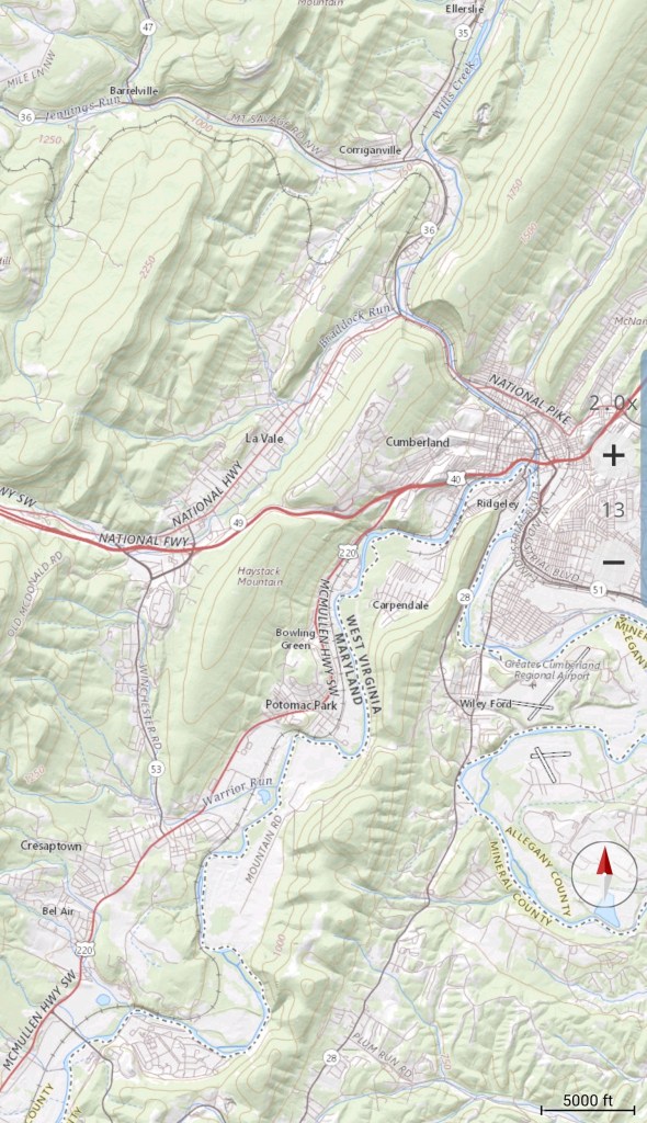
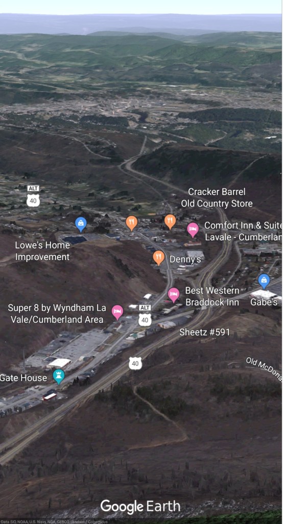
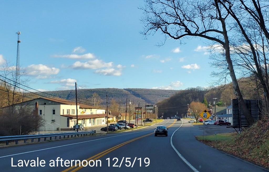
Lavale to Cumberland
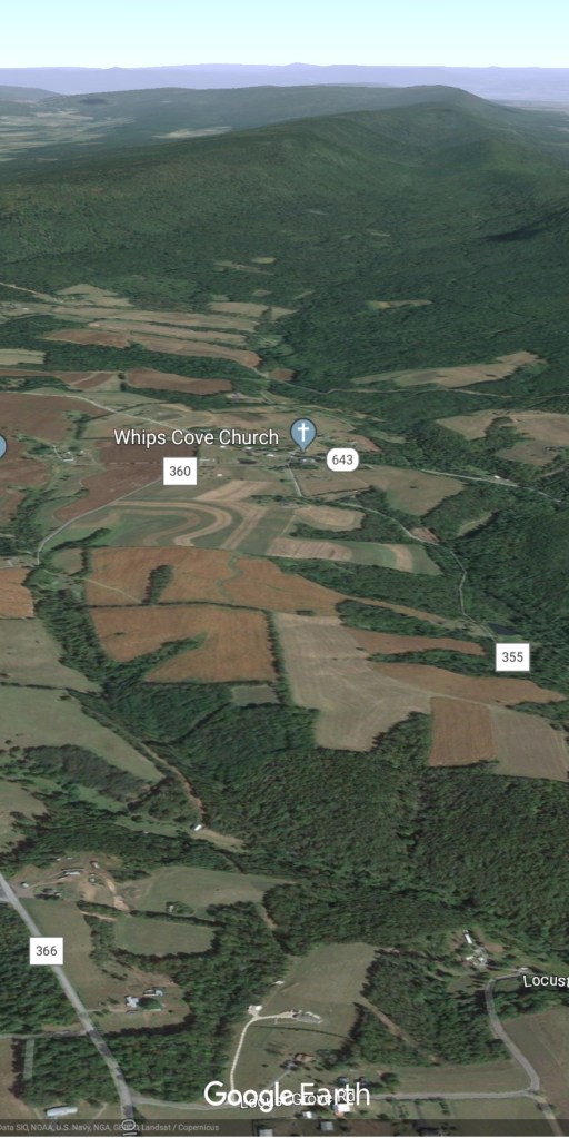
No winter down east of the high ground

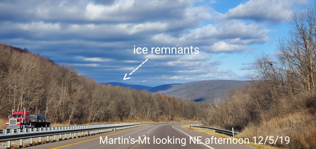
On east
From Martin’s Mt ON 68 looking NE into PA, to Martin’s Hill at 2700′. Some ice was visible on the east side
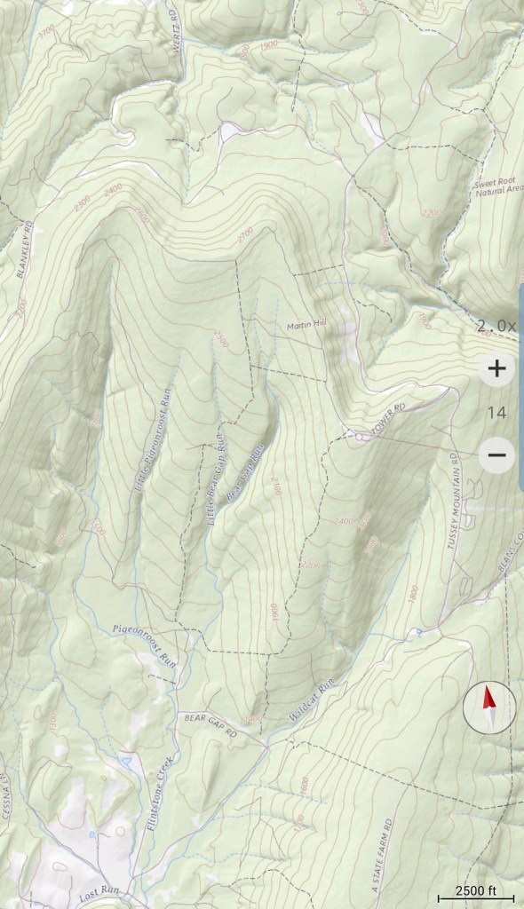
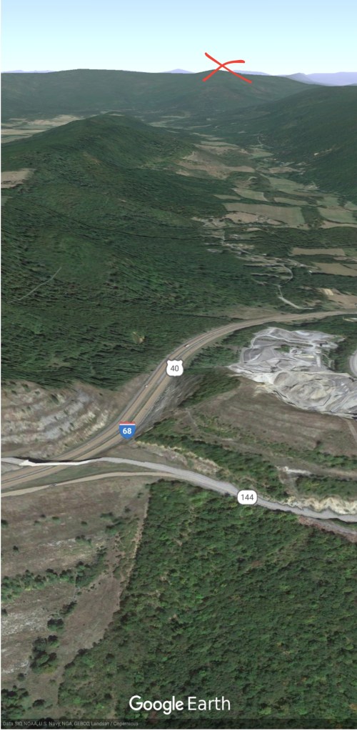
Further east in Fulton County Pa, the east side of the higher north section of Town Hill/Emmaville Mt with ice remaining
Visible on left
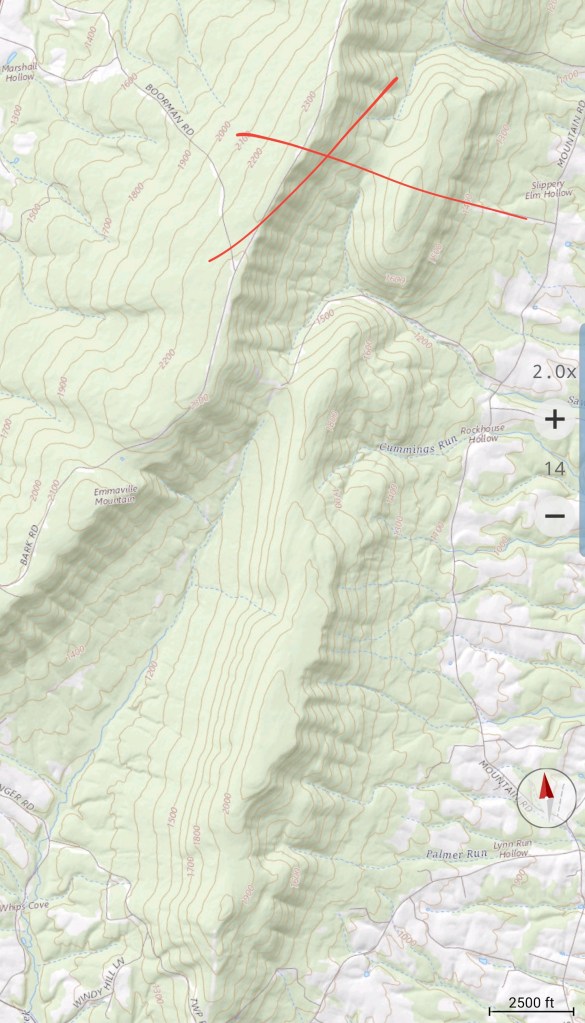
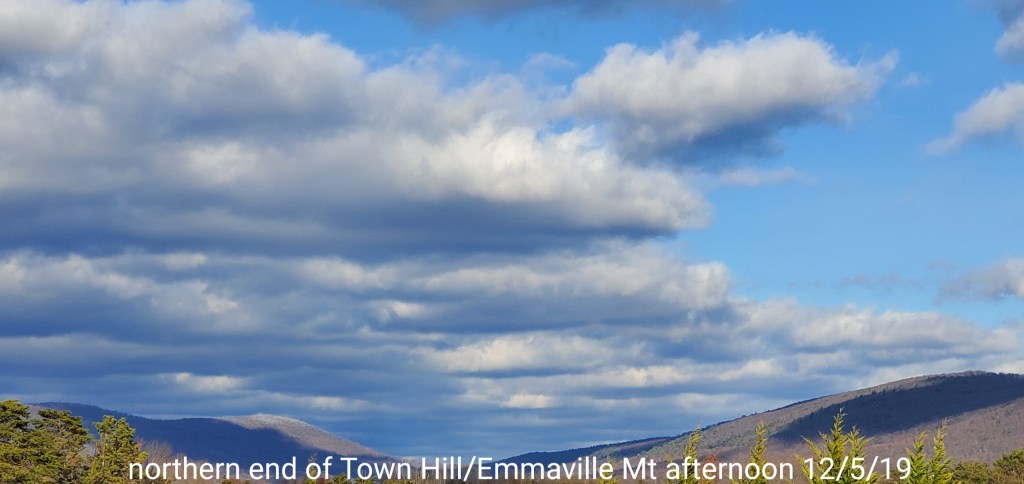
That gives a great example of how these marginal ice setups work.
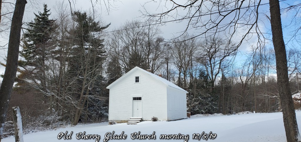
Back in time
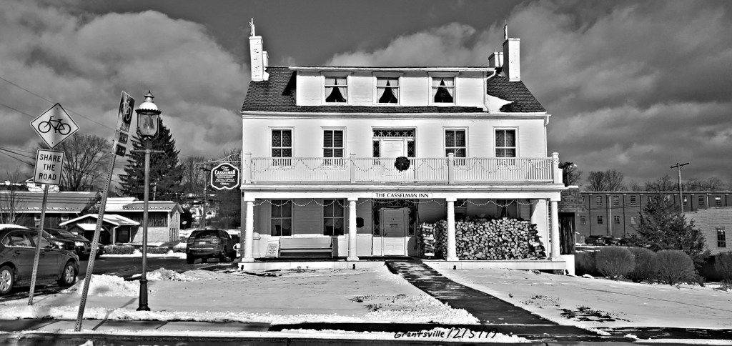
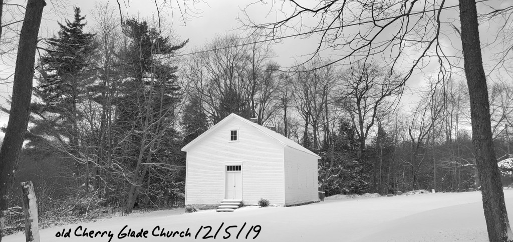
Some historical structures in Garrett County
A black n white look at a few of today’s pics….
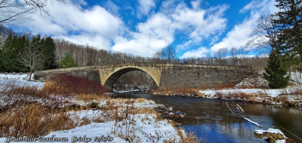
The old Cassleman Bridge

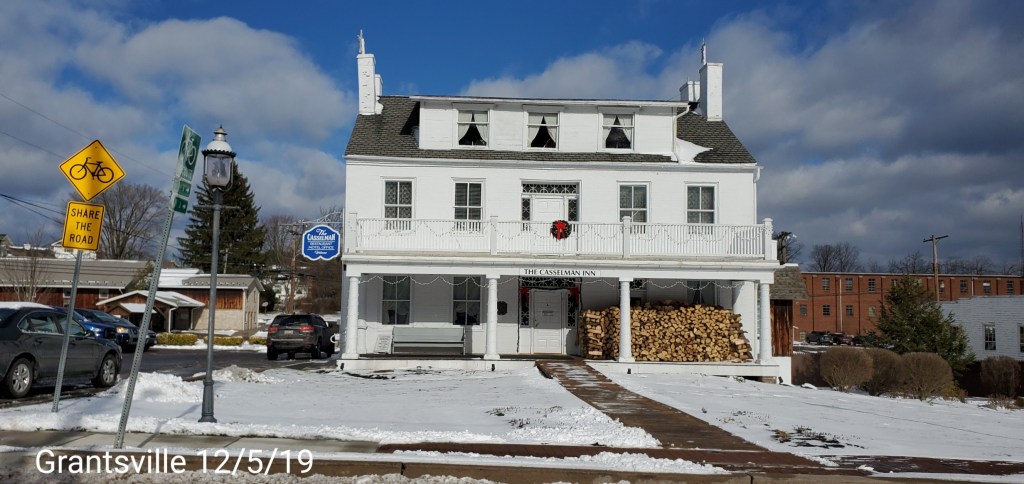
The Cassleman Inn
The old Cherry Glade Church
Morning outlook update:
POST GENERATED AT 7:15AM 12/5/19
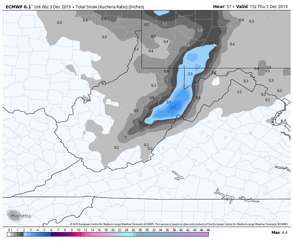
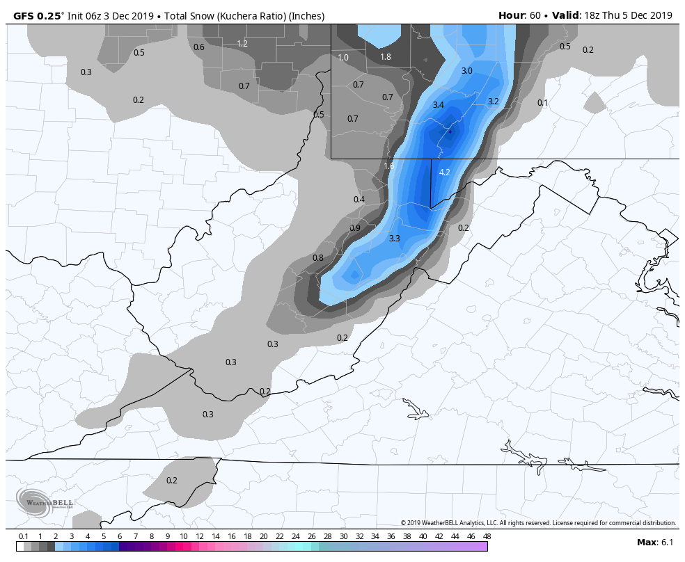
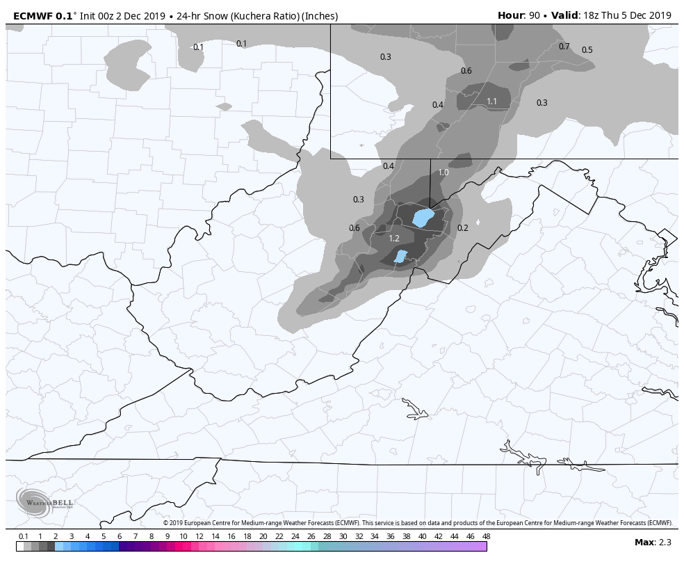
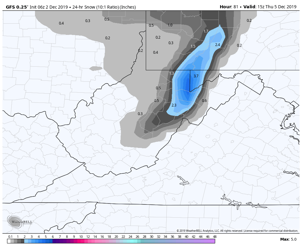
Snowfall from the latest event through 7am
Hidden Valley Valley Somerset County at 3.5″
Bittinger 2nw Valley at 3.4″
Mt. Lake Park at 3.5″
Terra Alta 4.9 NNE at 4.7″
Canaan Heights/Davis 3SE at 4.4″
Snowshoe at 4.0″(both coop and resort)
Post generated at 7am:12/5/19
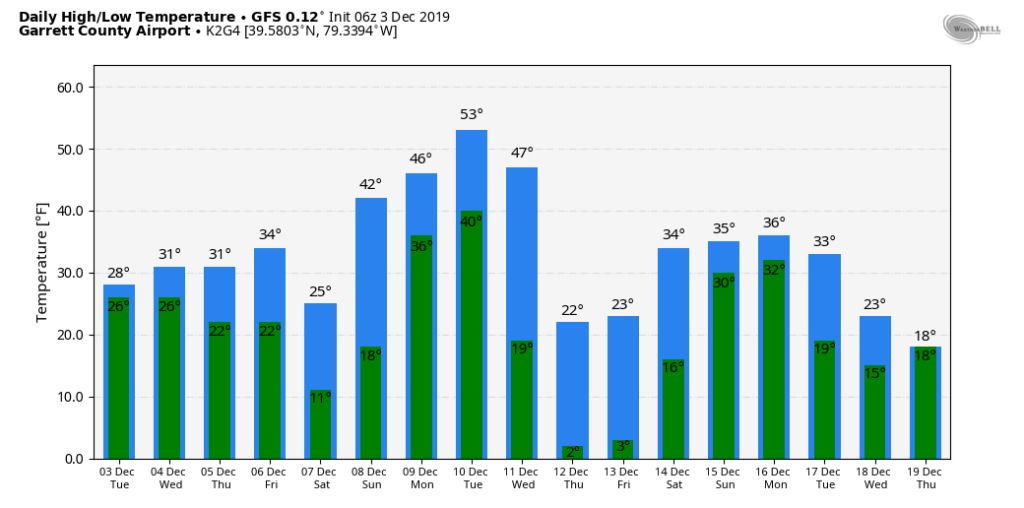
Snow tapers off this morning and we are left with mainly cloudy skies with some breaks in the clouds this afternoon. Temps mid to upper 20s up high(above 3700), 30-35 elsewhere.
Temps hold steady overnight and begin to rise slowly before dawn tomorrow. Winds will be on the increase, especially in the northern part of the region(Canaan on north). Temps briefly run upper 30s high ground tomorrow, lower 40s under 3200′. Some very light over running precip tries to develop tomorrow afternoon, this will allow afternoon temps to fall back 29-33 up high,(above 3700′) low to mid 30s elsewhere. Passing snow showers tomorrow afternoon, through shortly after nightfall, may put down a fresh coating in spots (inch +/-). Very minor event.
Friday night- skies begin to break, winds go calm, a drier air mass in play. The valleys “may” drop off significantly if the cloud cover erodes soon enough. Single digits in the coldest valleys, most valleys teens, if skies clear off soon enough, high ground around 20-24.
Saturday- a marginally colder air mass vs tomorrow back in place. Temps 30-35 above 3700′ . 34-39 elsewhere.
Sunday, return flow of milder air, not without resistance with some SE flow keeping some of the eastern zones cooler. 36-41 on the east side of the high Alleghenies(Allegheny Front, north central Garrett and points north, northeast)
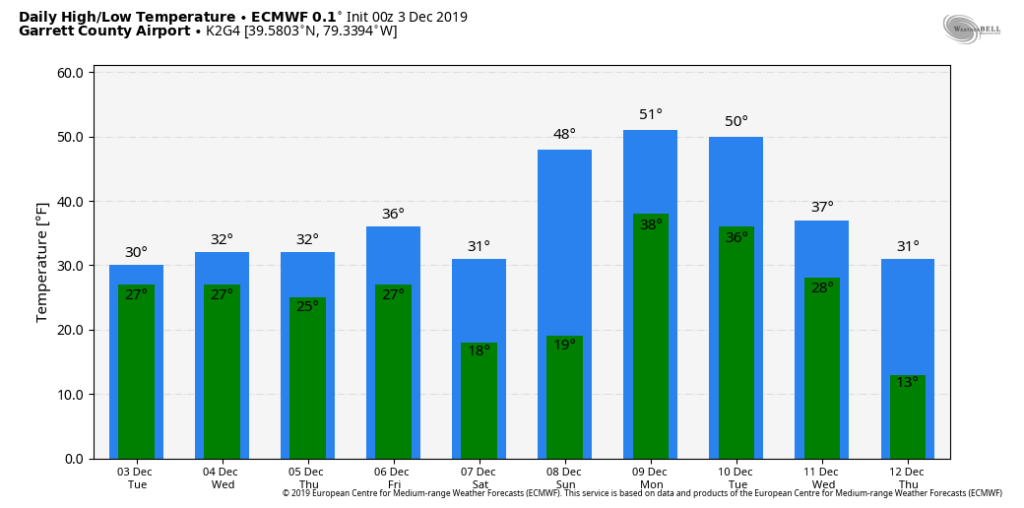
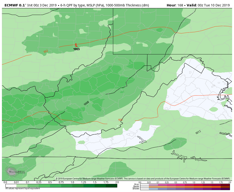
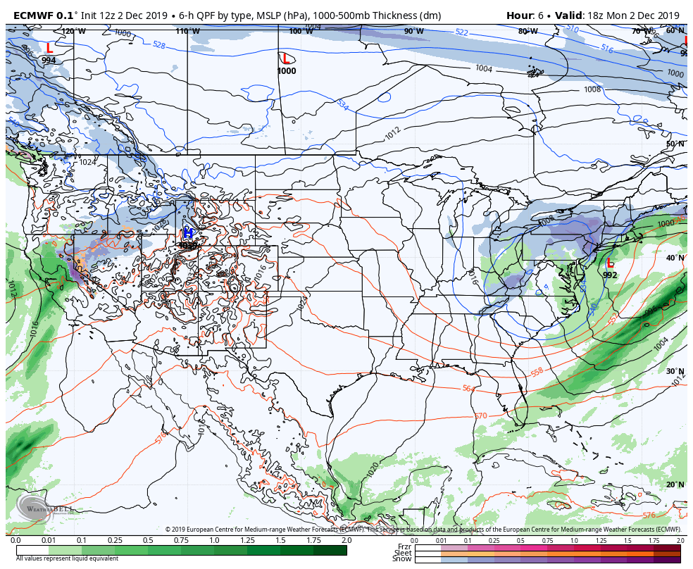
Early next week- mild air on Monday, with rain pushing in, rain continues into Tuesday before changing to snow at some point. Models vary on timing. Amounts at this point look insignificant. That is followed by a brief shot of very cold air.
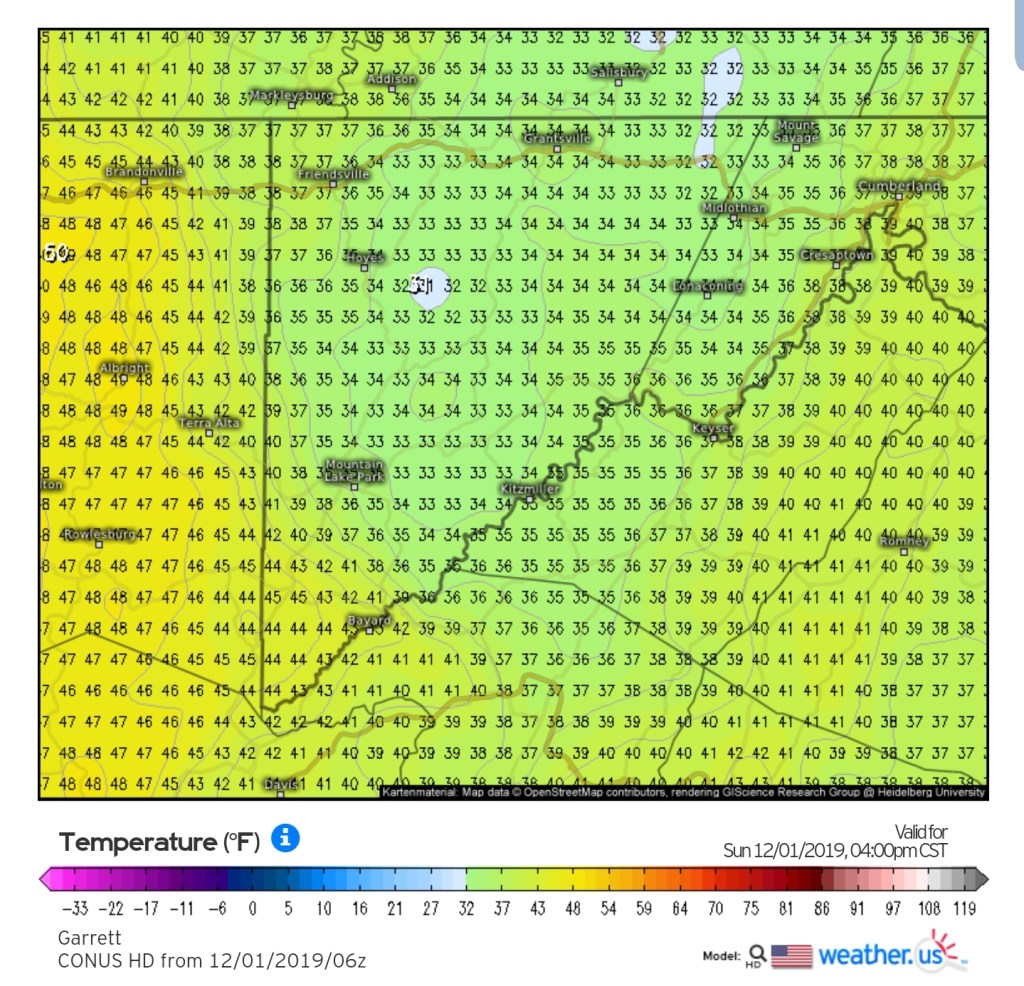
Today into weekend off the 6z GFS
2m Temps
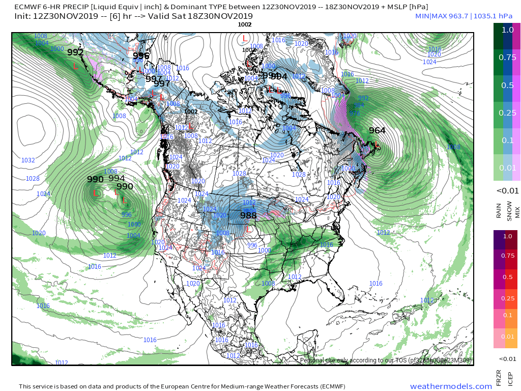
MSLP/6HR/PRECIP TYPE
Temps this morning;
Teens across some of the high ground above 4000′, 20s 2000-4000′, low to mid 30s under 2000, all mid 30s under 1500′
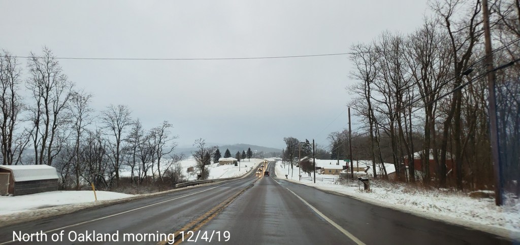
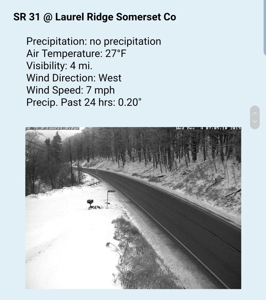
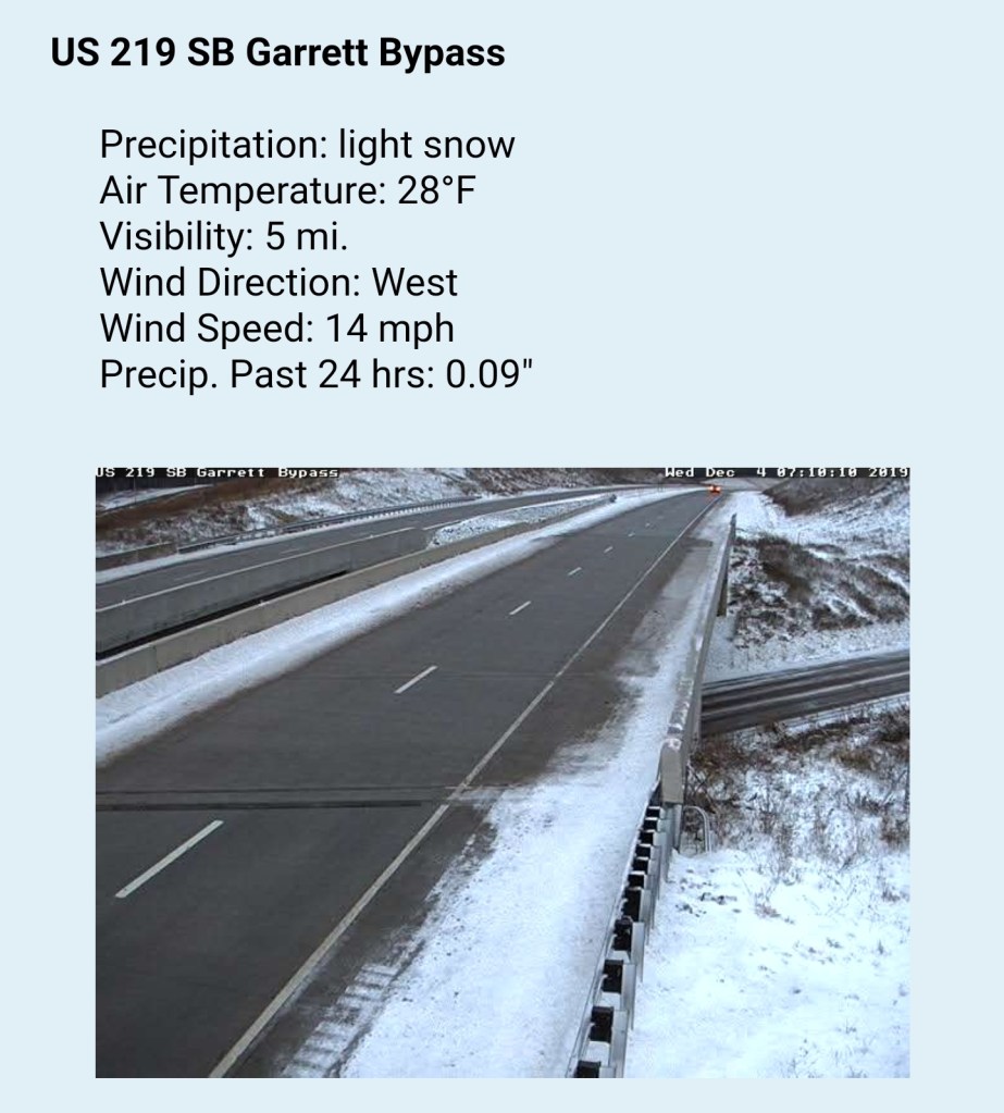
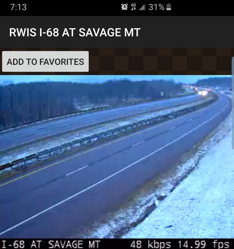
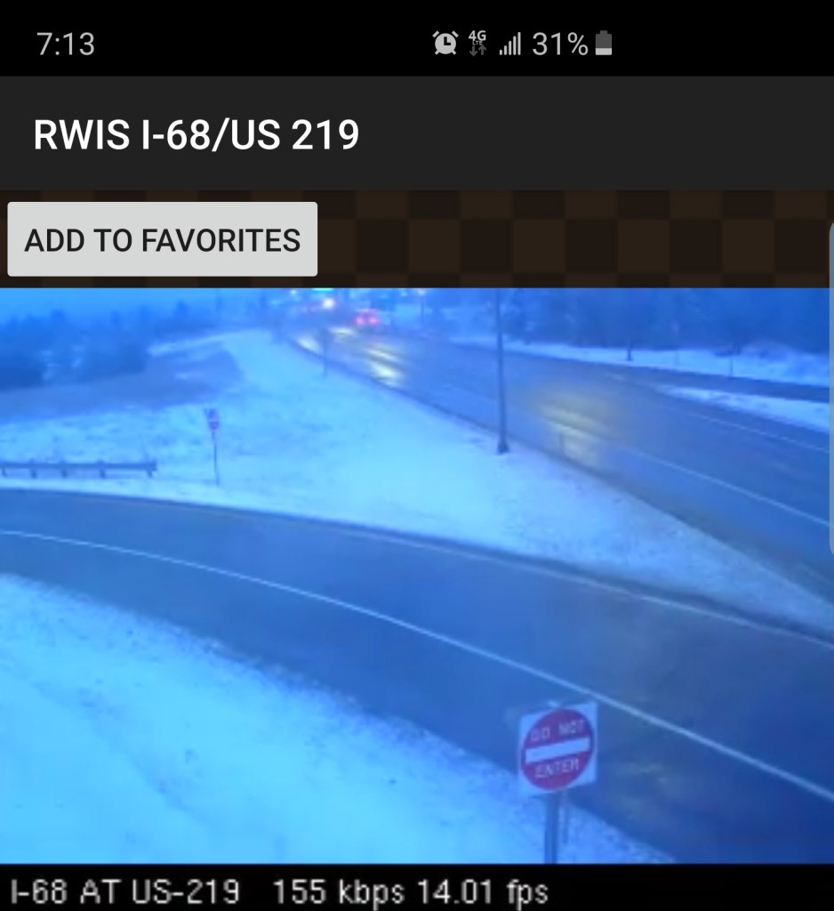
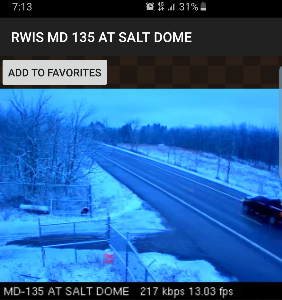
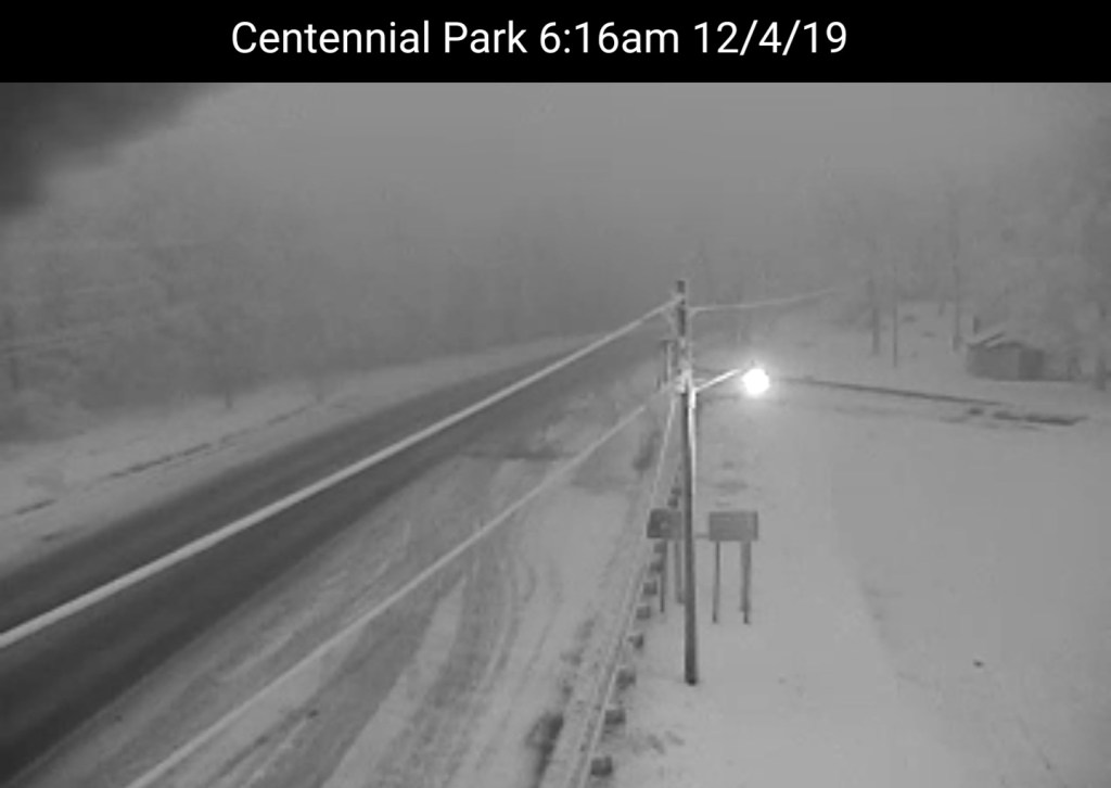
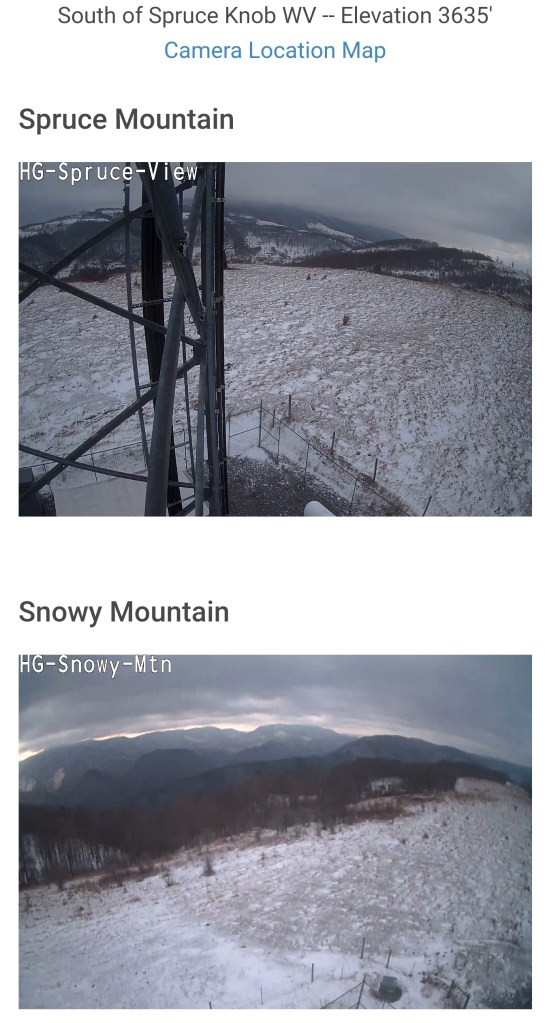
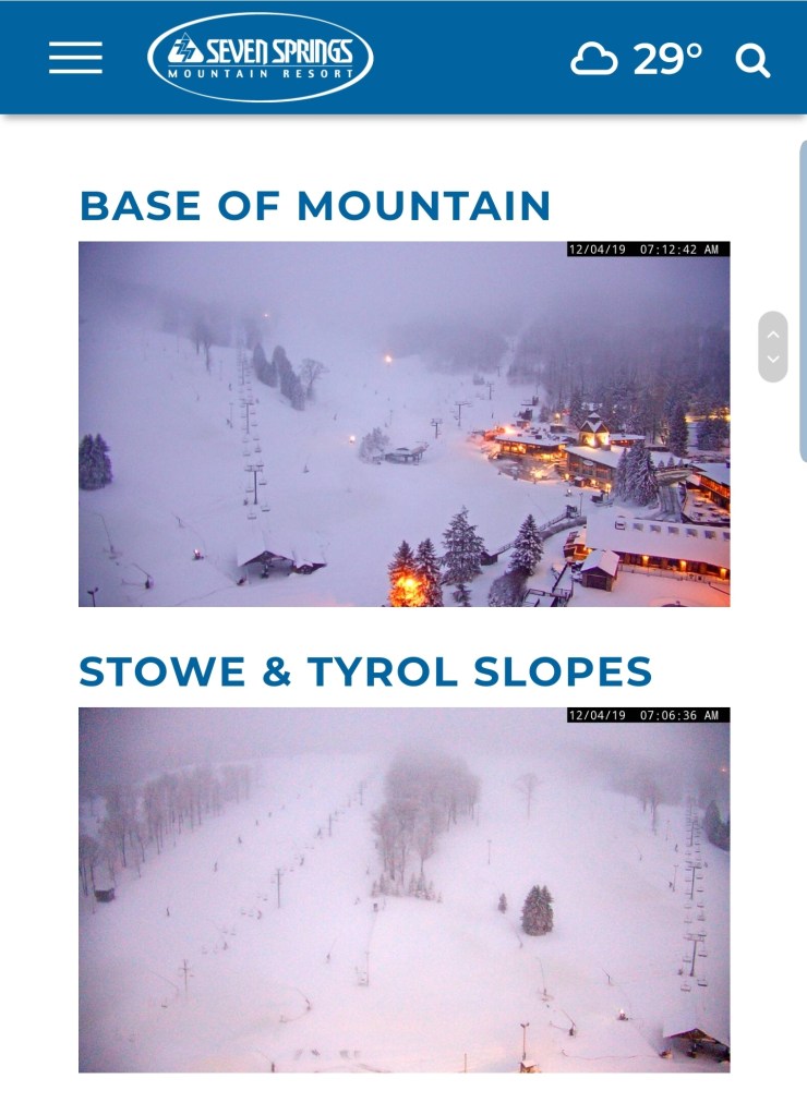
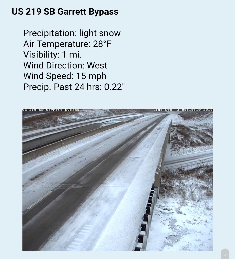
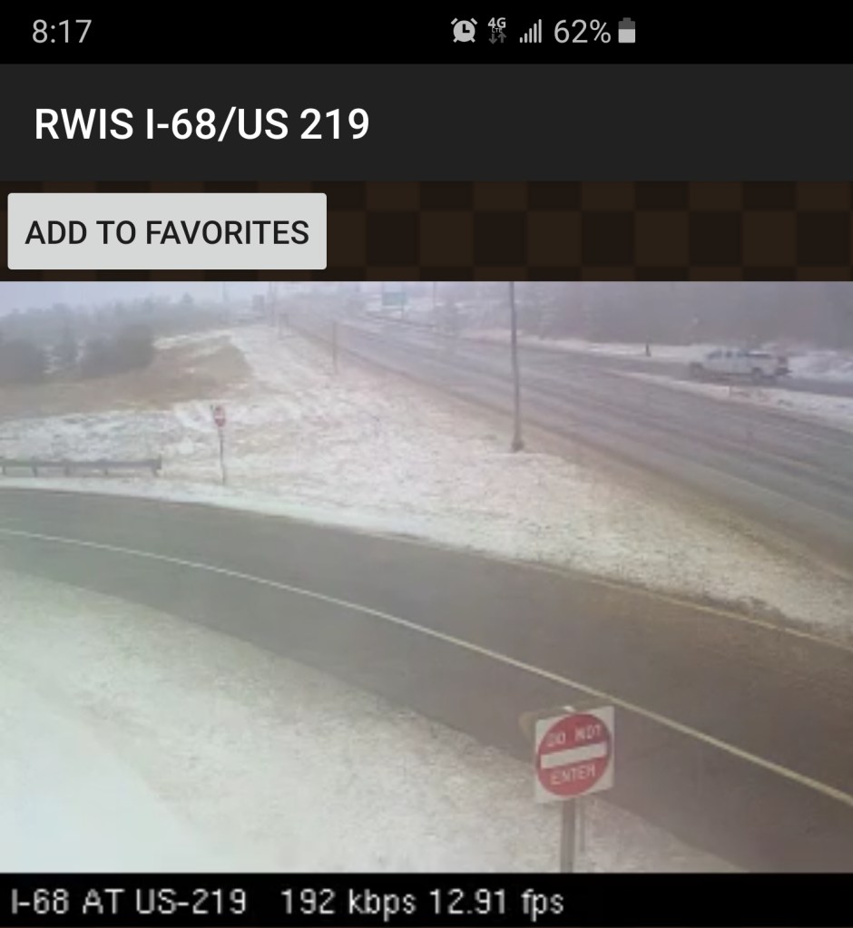
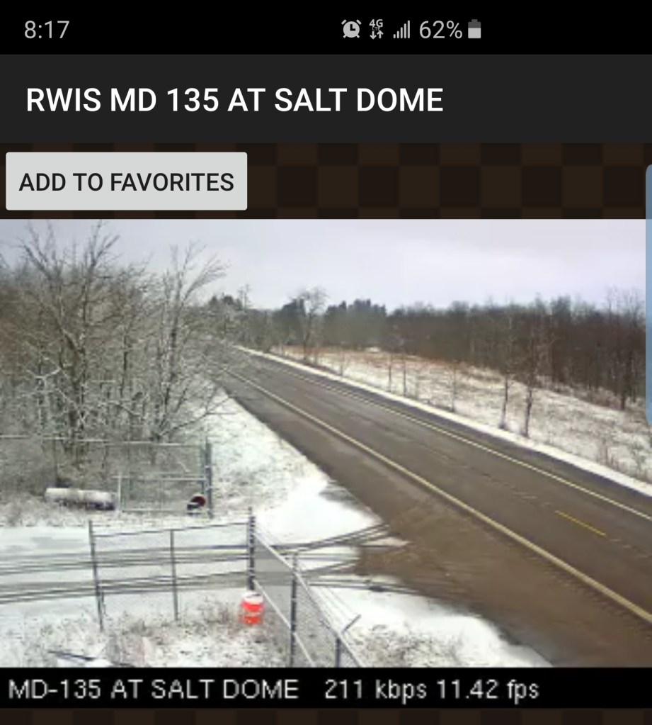
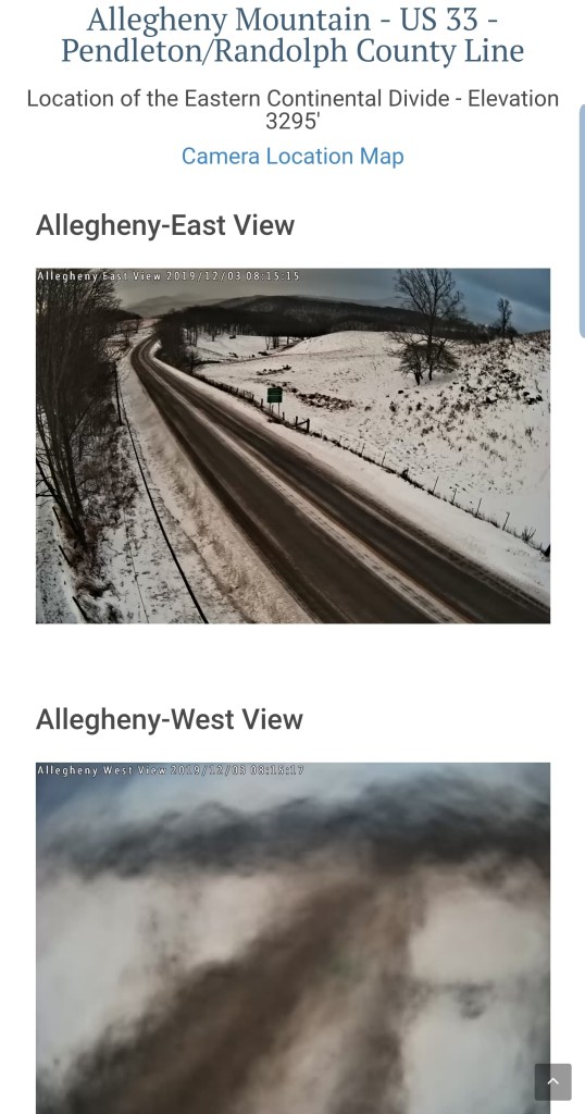
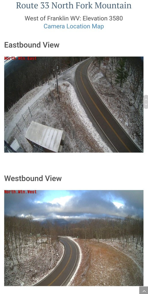
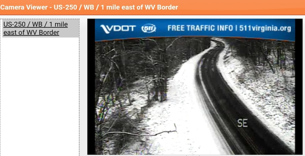
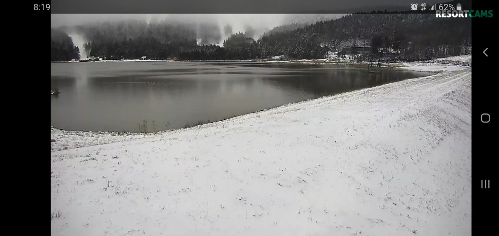
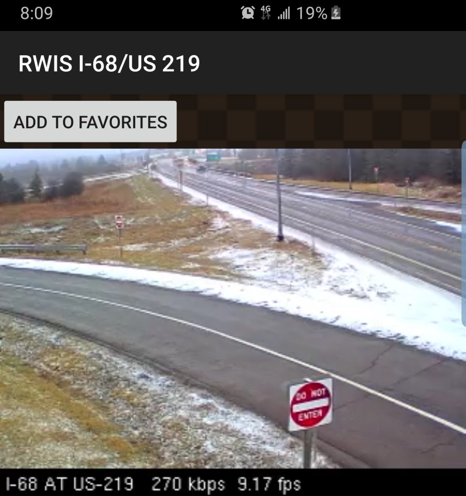
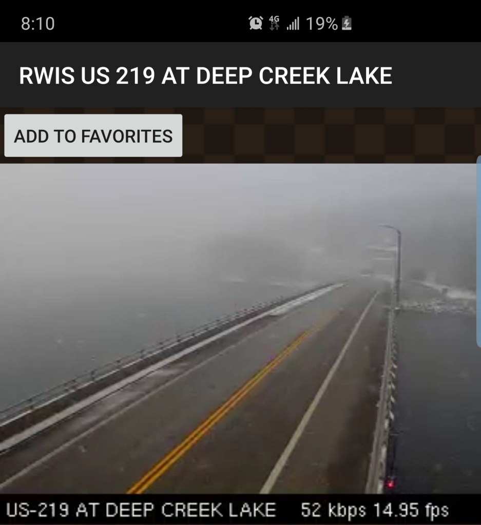
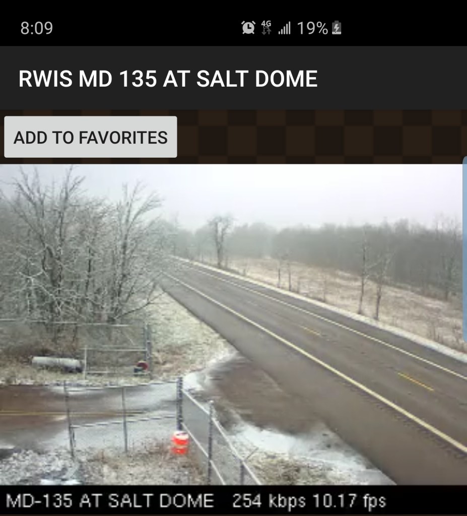
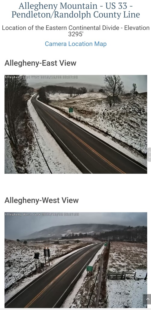
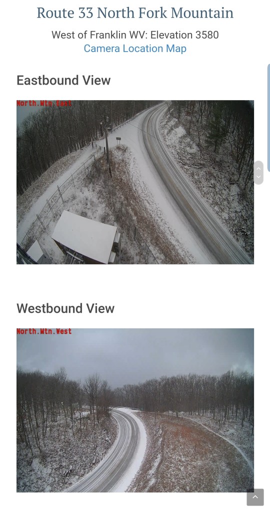
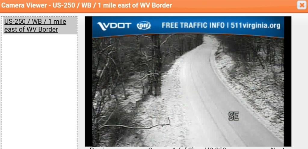
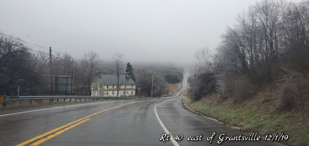
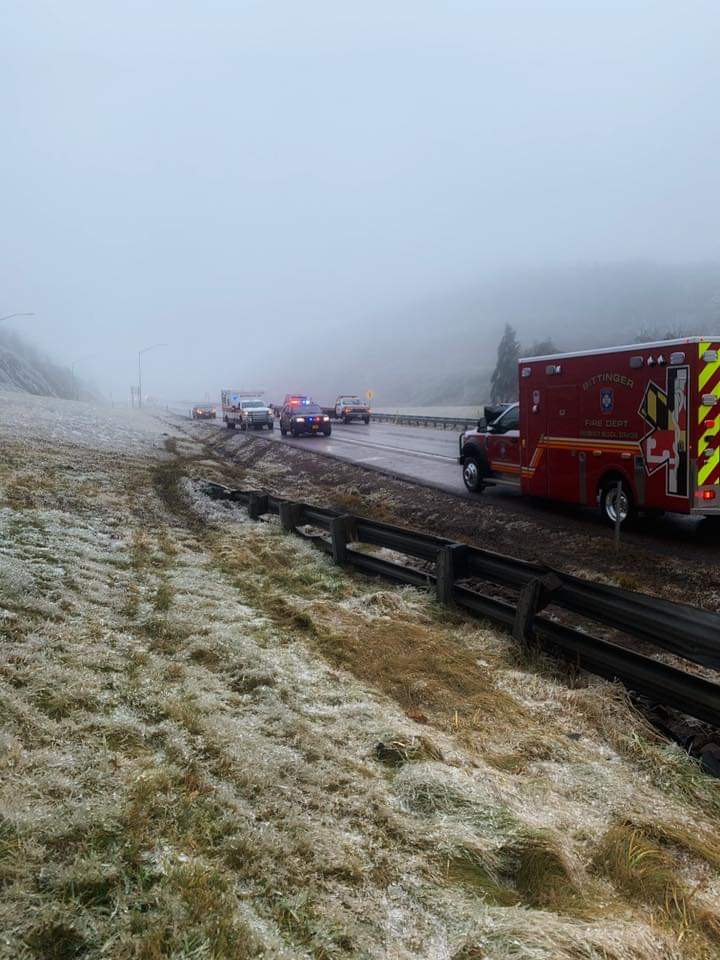
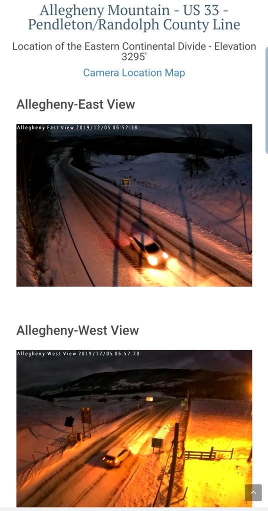
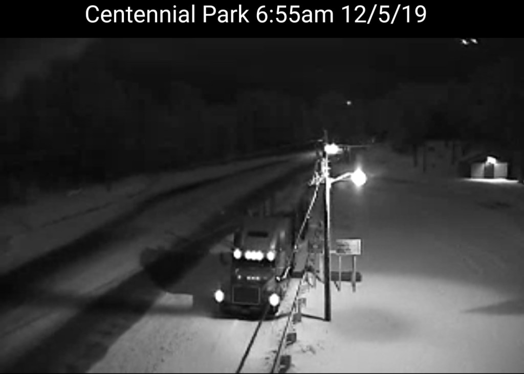
Highway cams
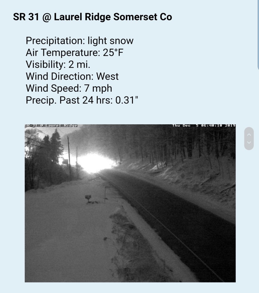
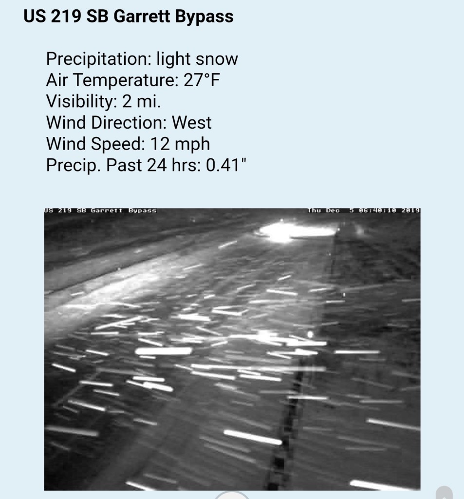
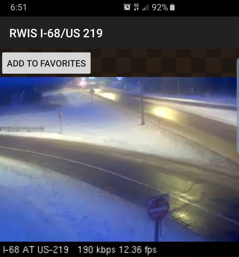
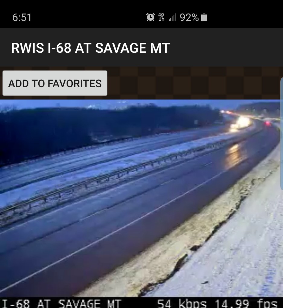
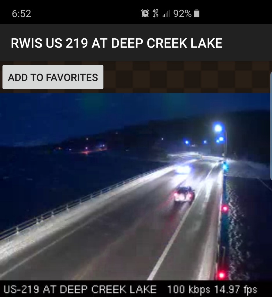
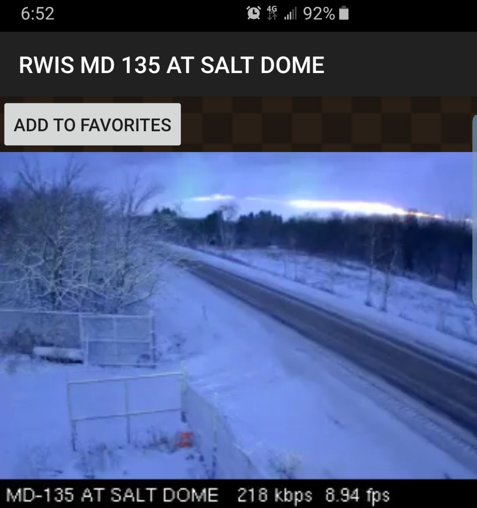
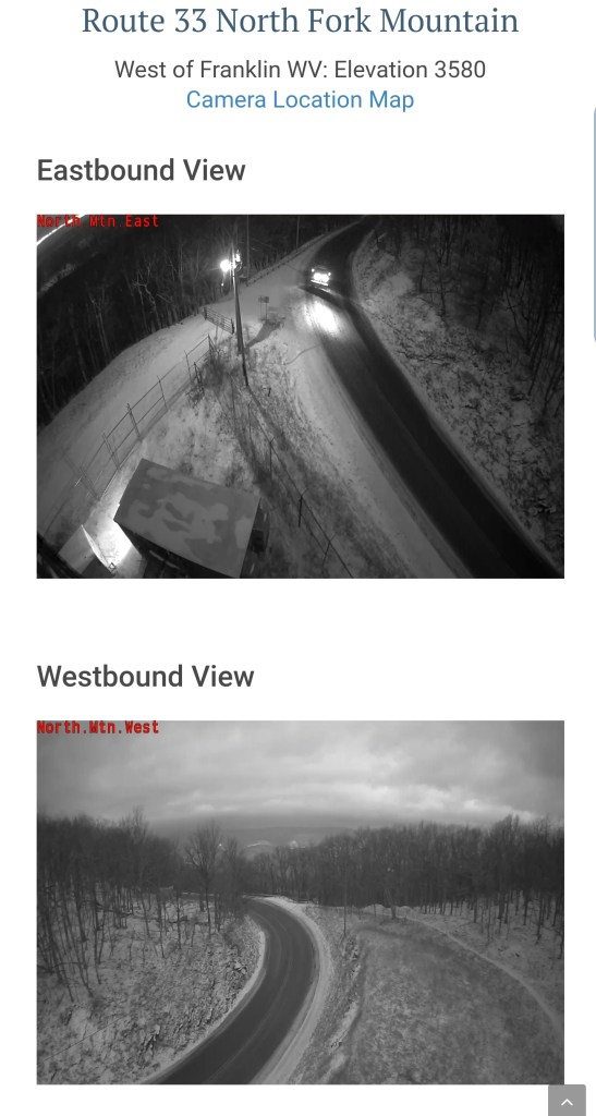

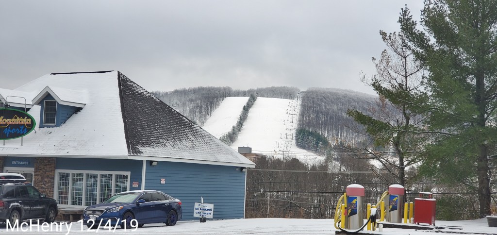
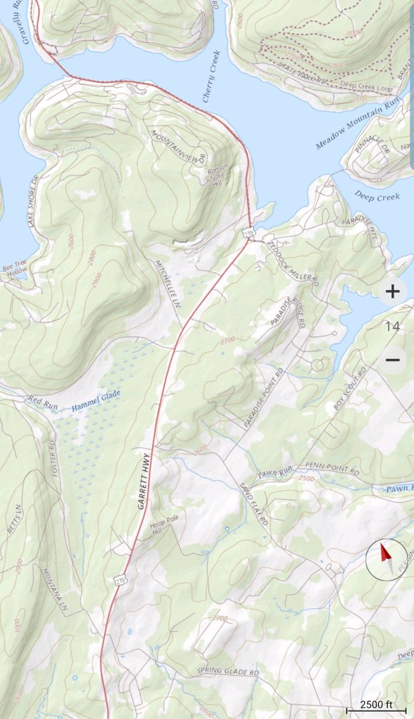
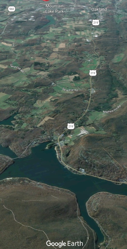
Garrett county
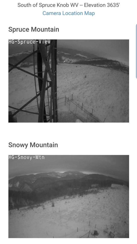
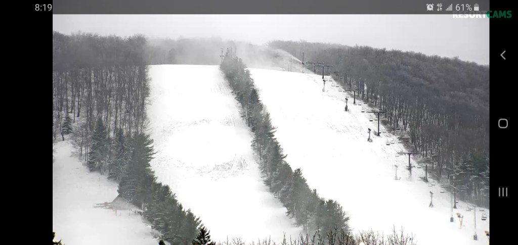
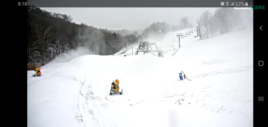
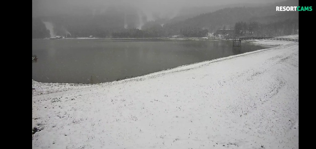
At the resorts