December 15, 2019
Dec 15(Sun)
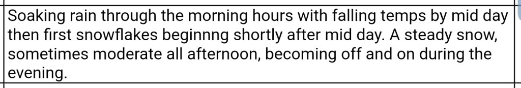
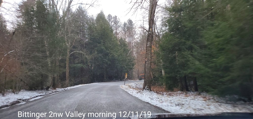
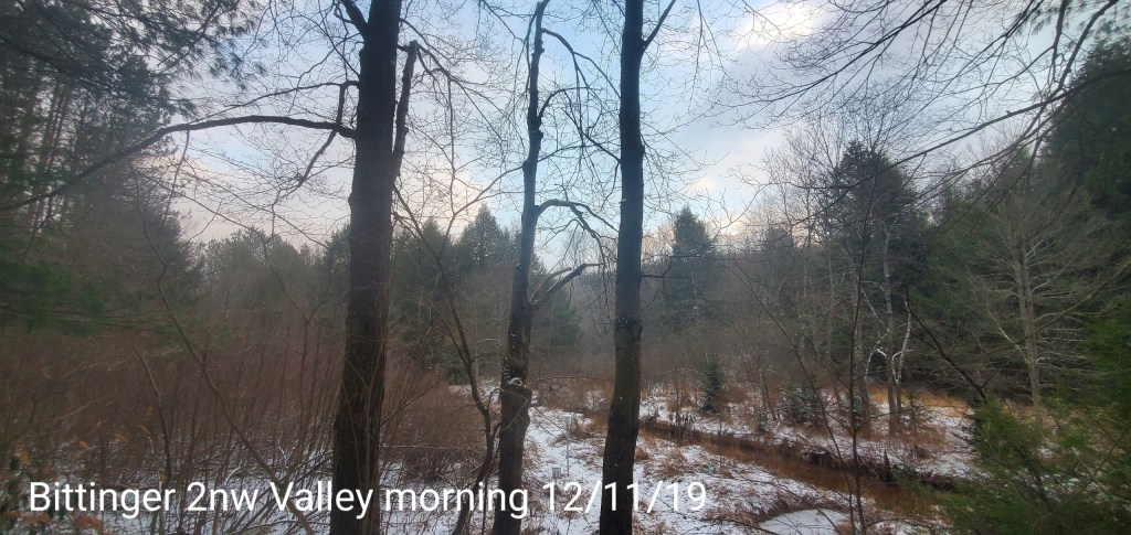
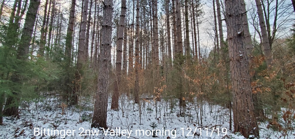
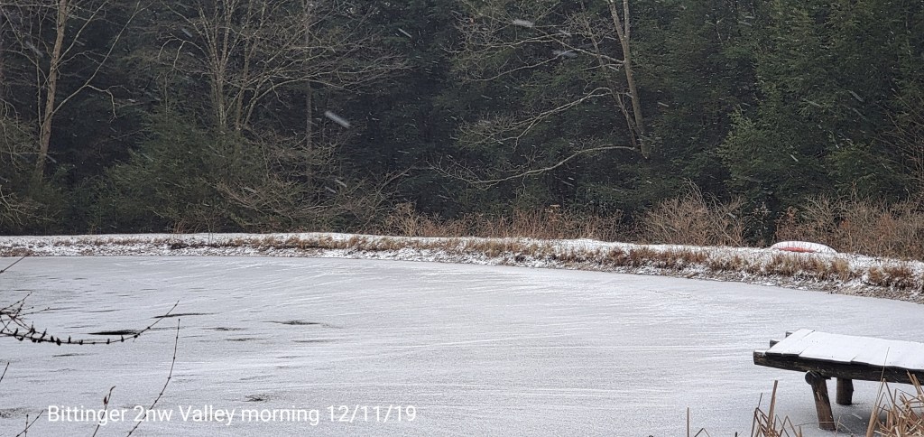
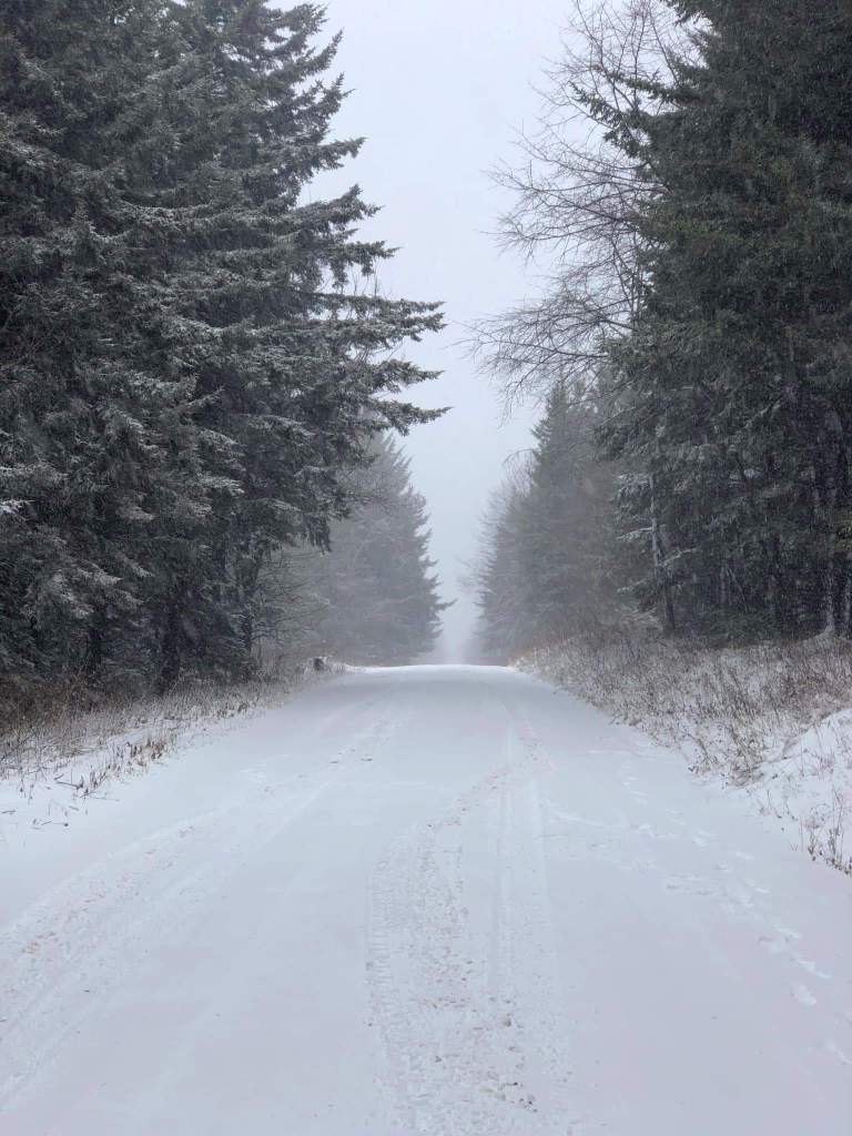
Snow overnight into this morning. Temps slowly falling today. Snow levels looked to be around 2200′
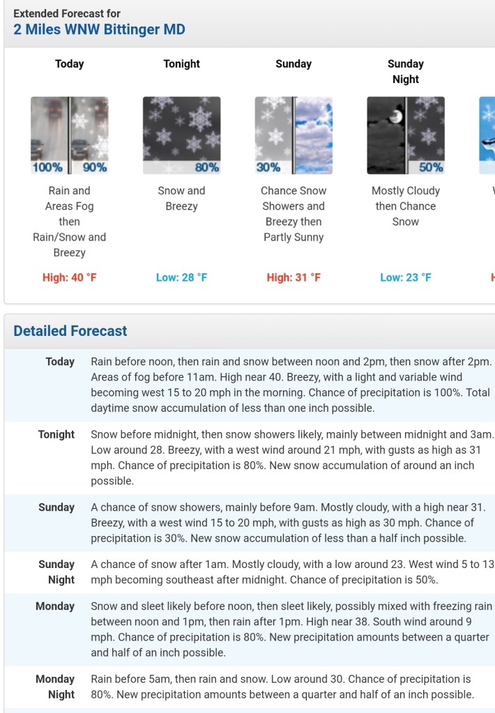
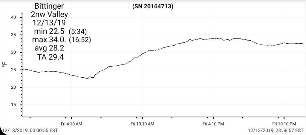
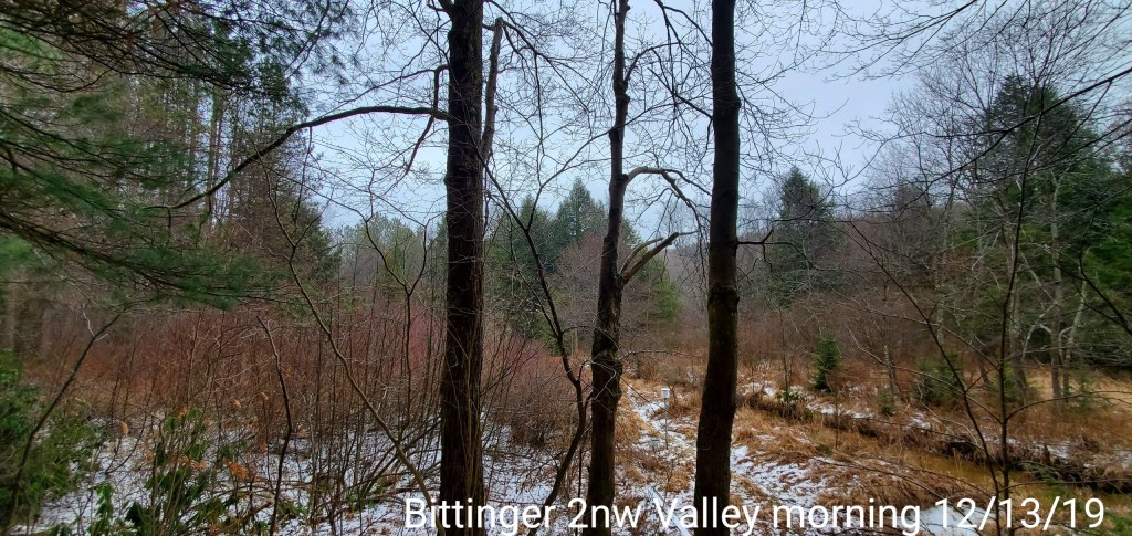
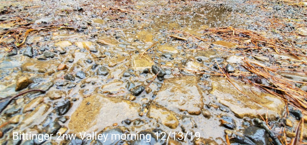
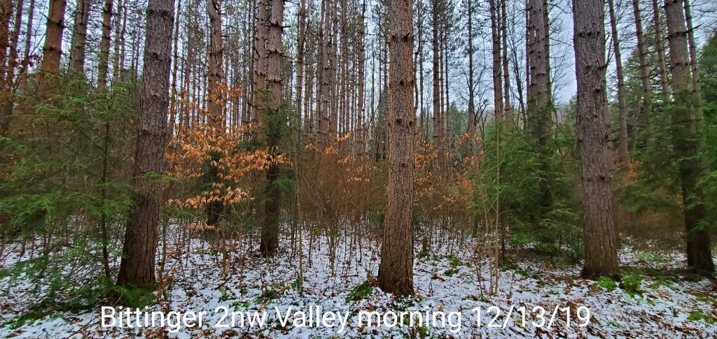
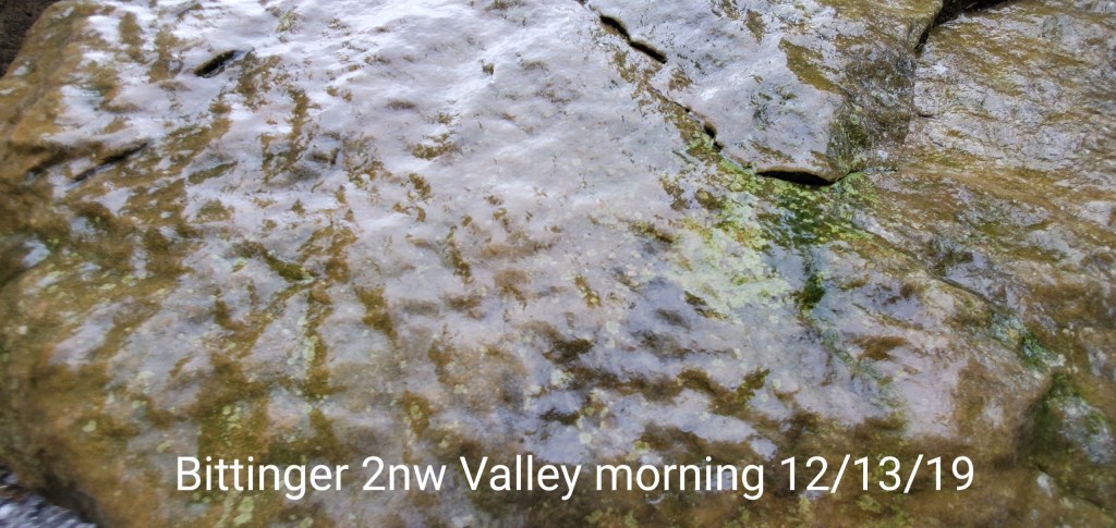
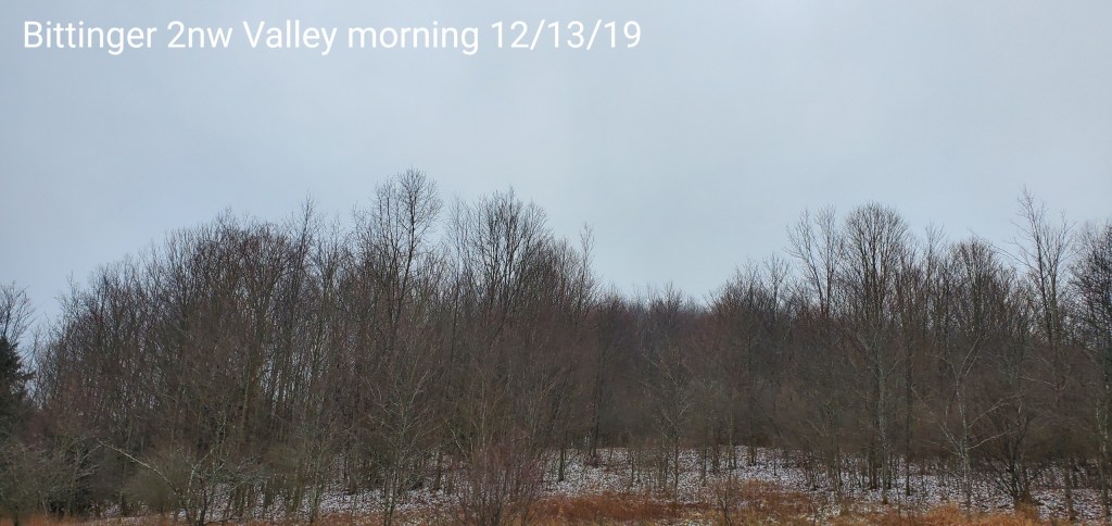
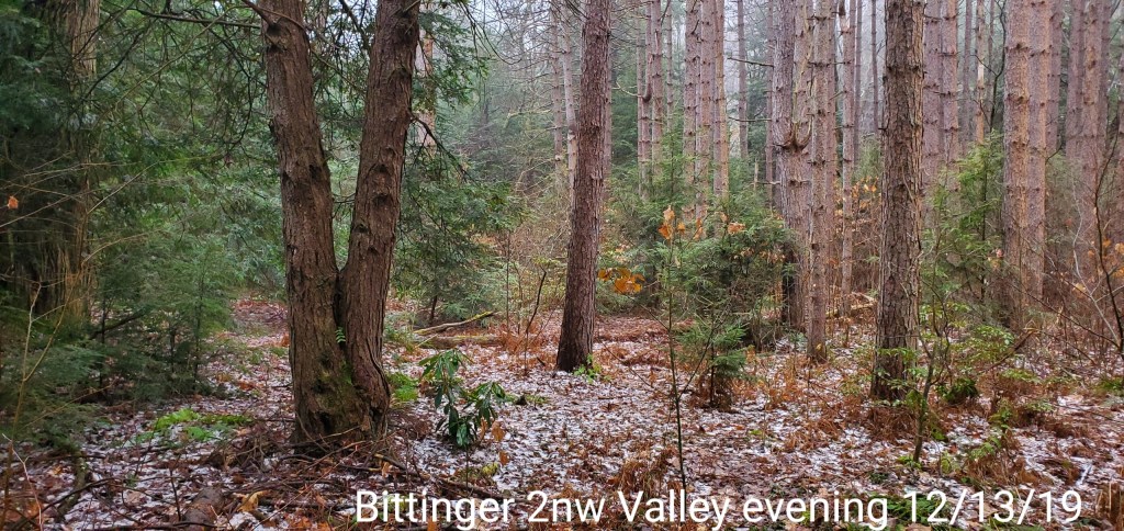
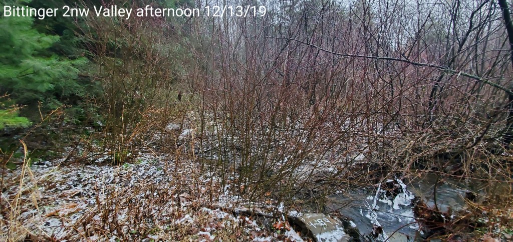
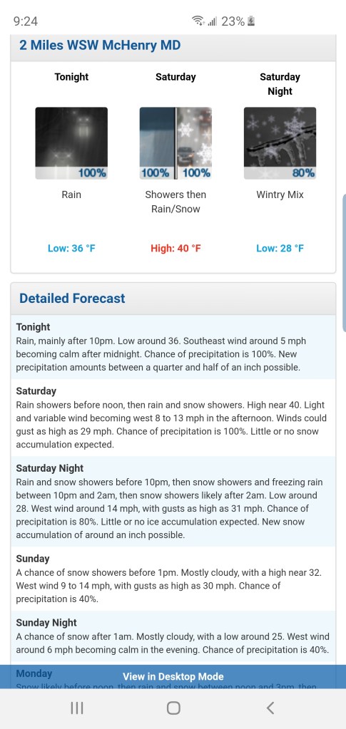
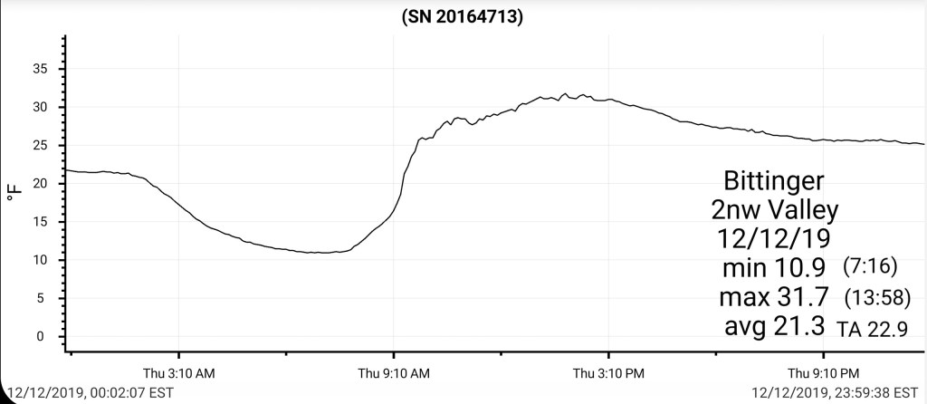
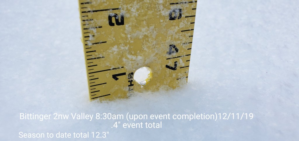
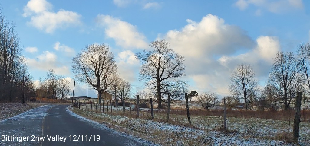
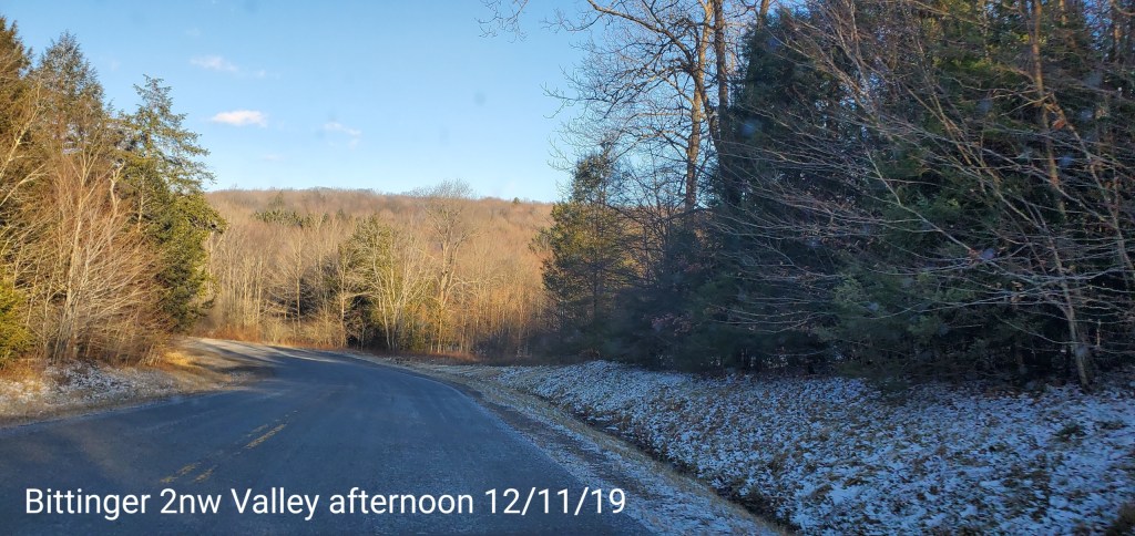
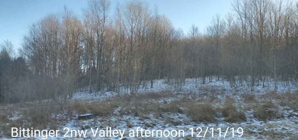
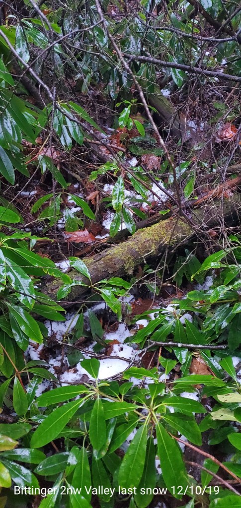
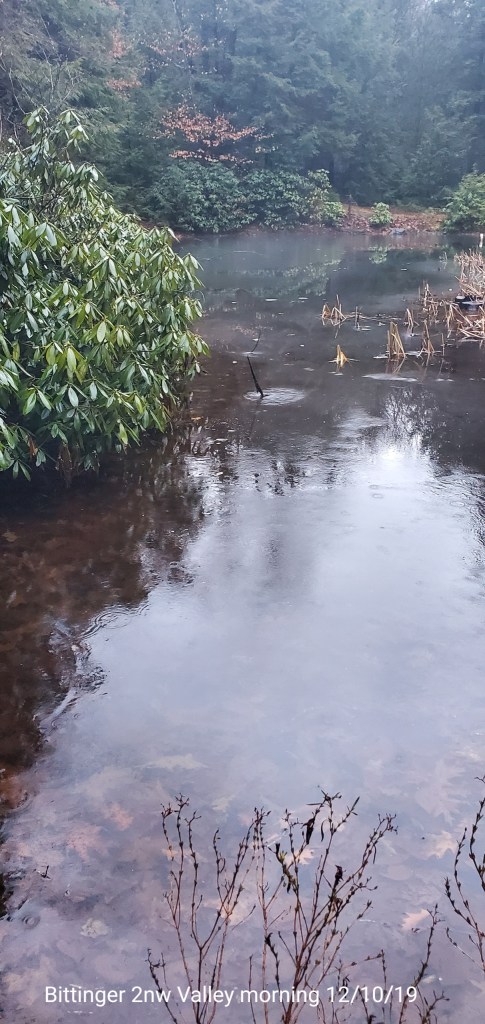
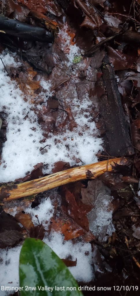
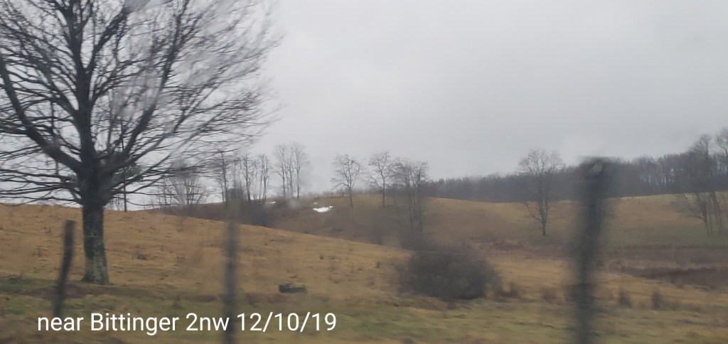
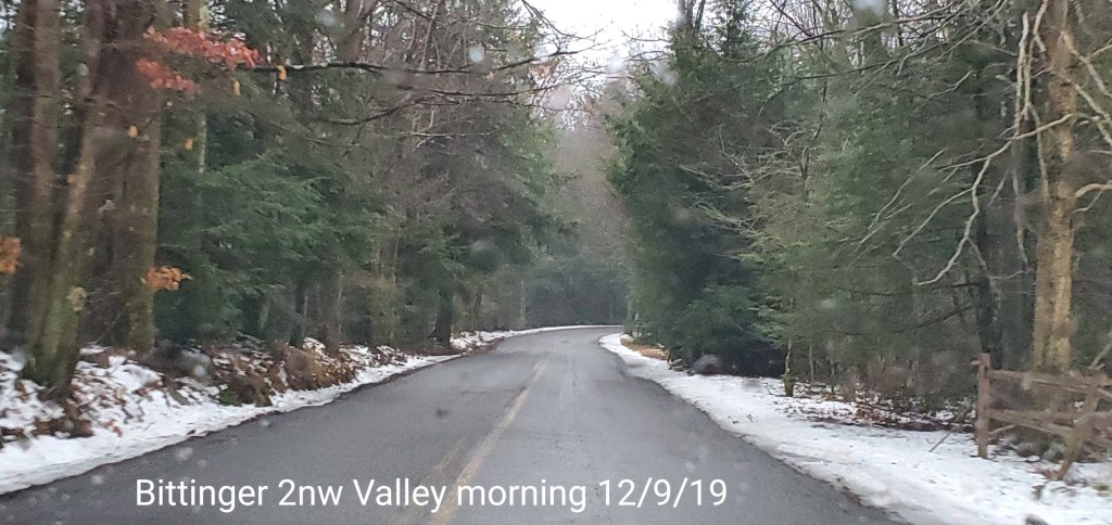
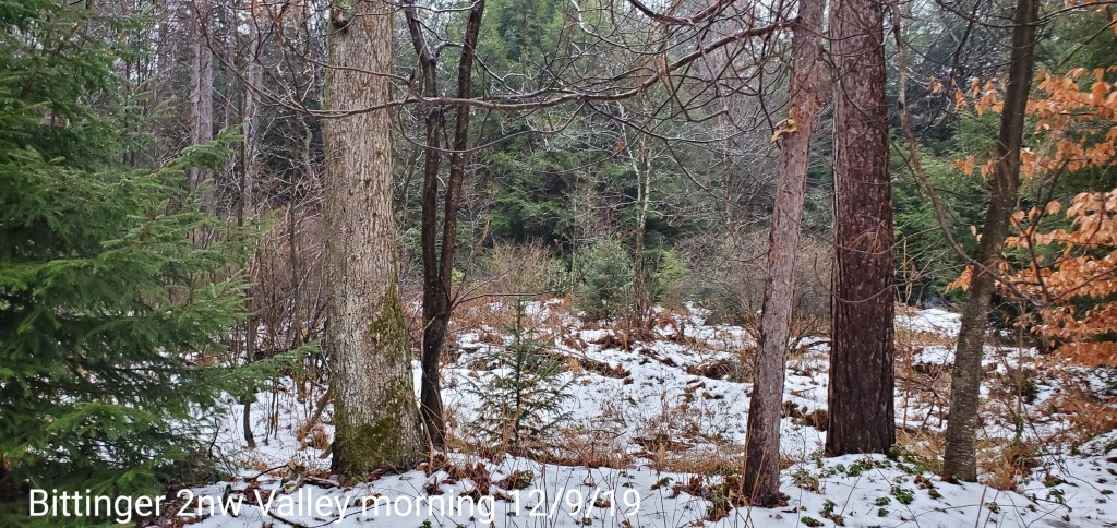
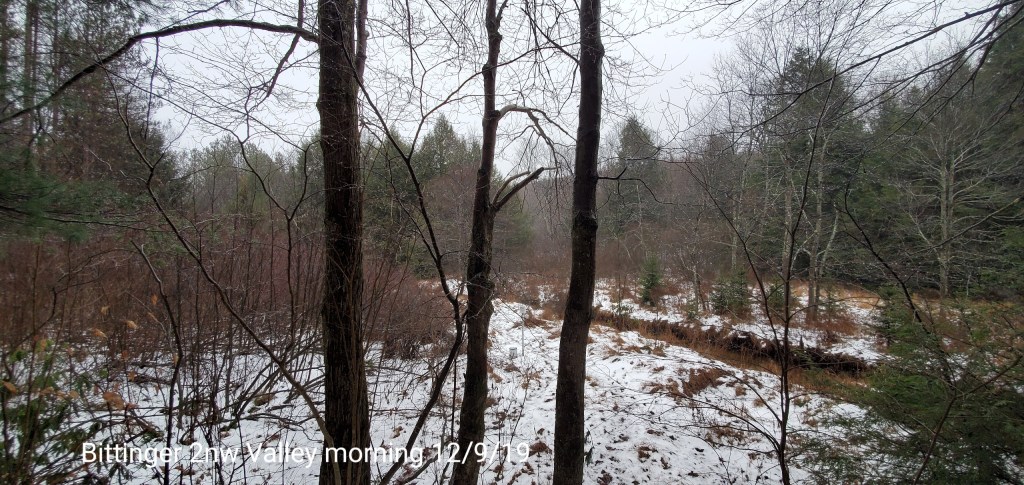
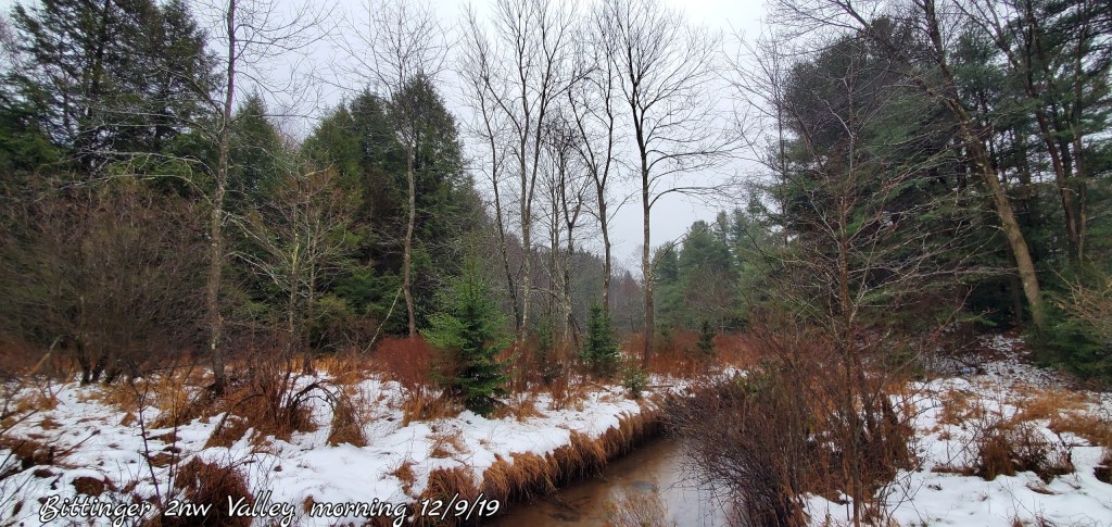
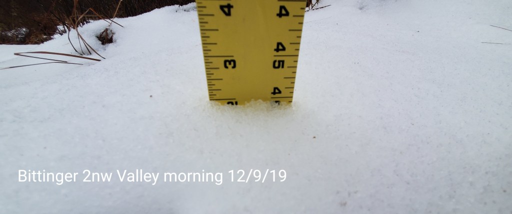
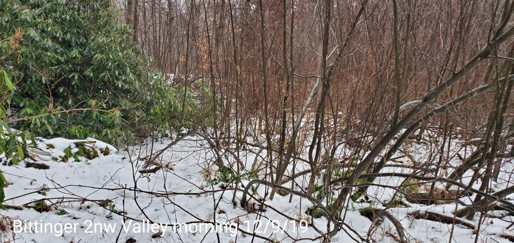
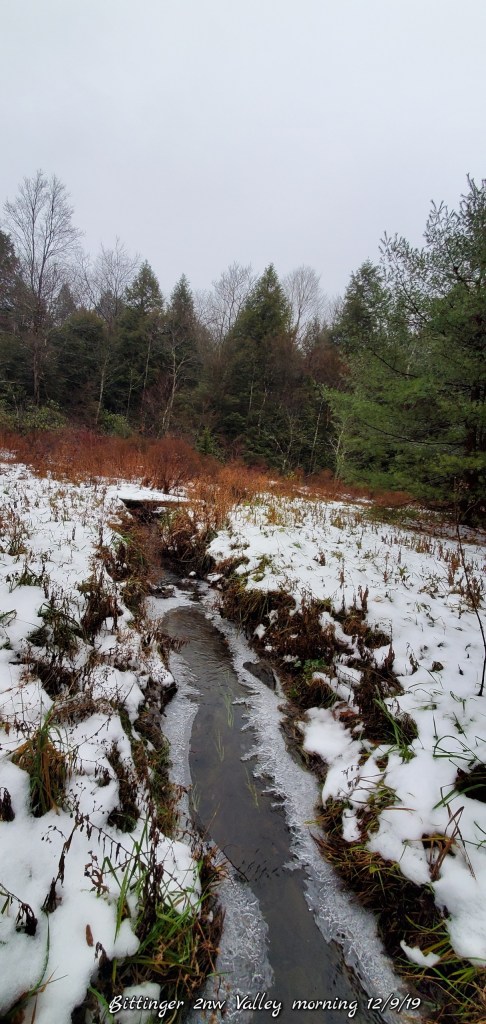
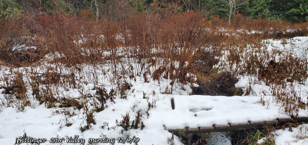
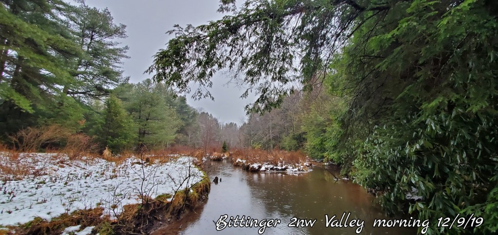
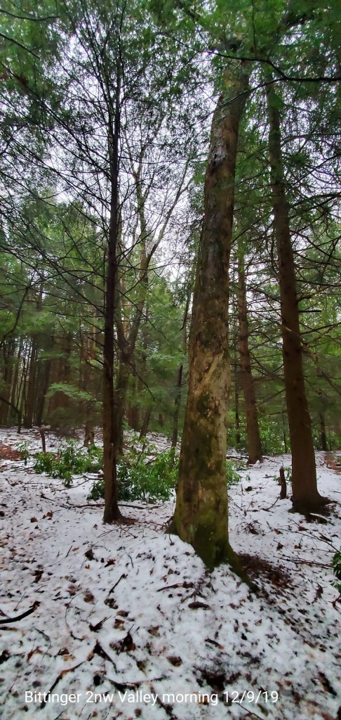
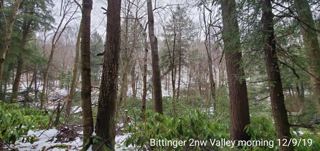
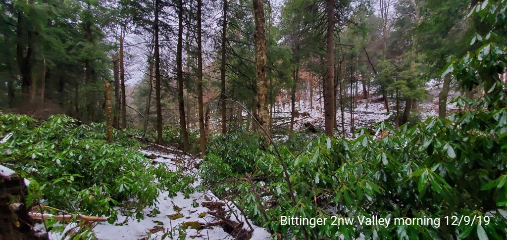
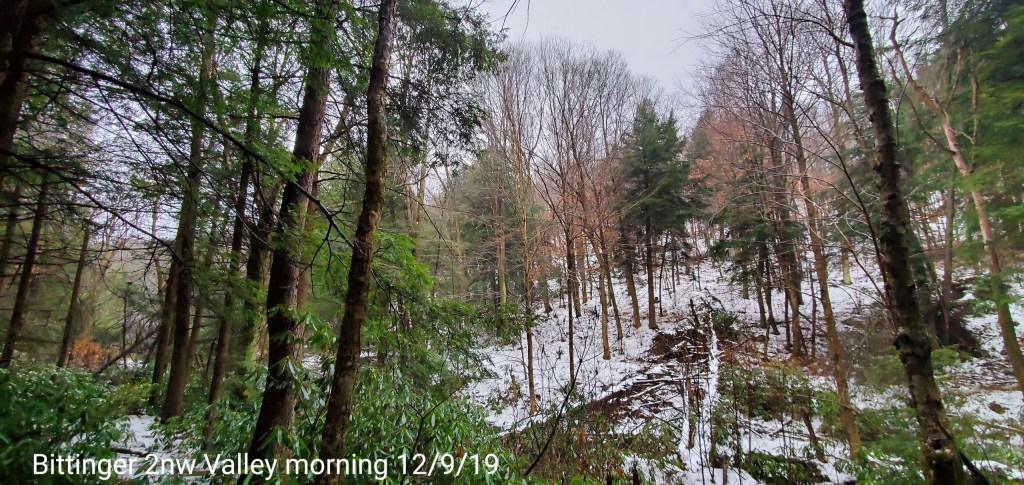
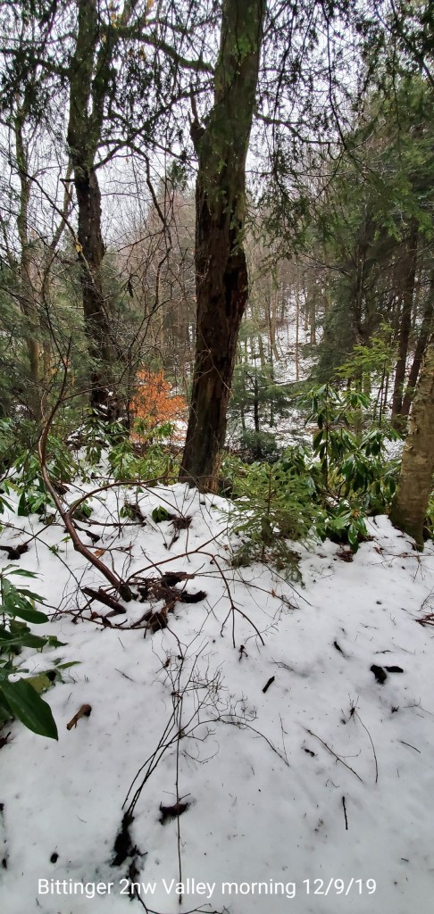
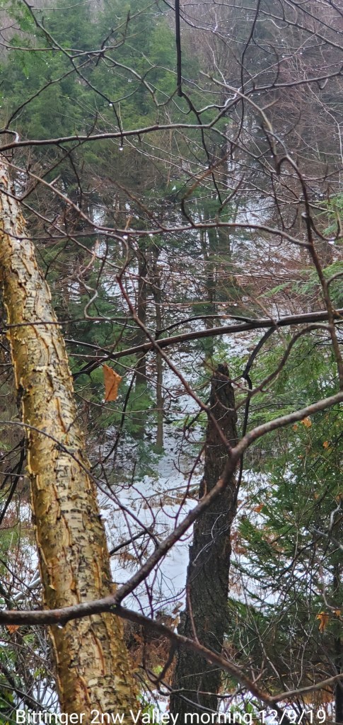
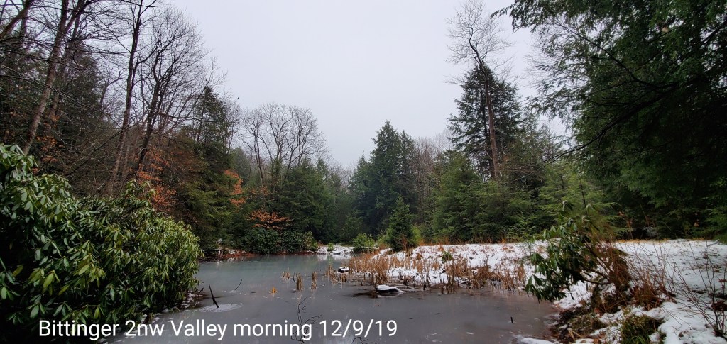
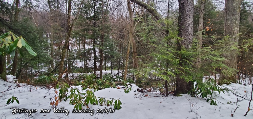
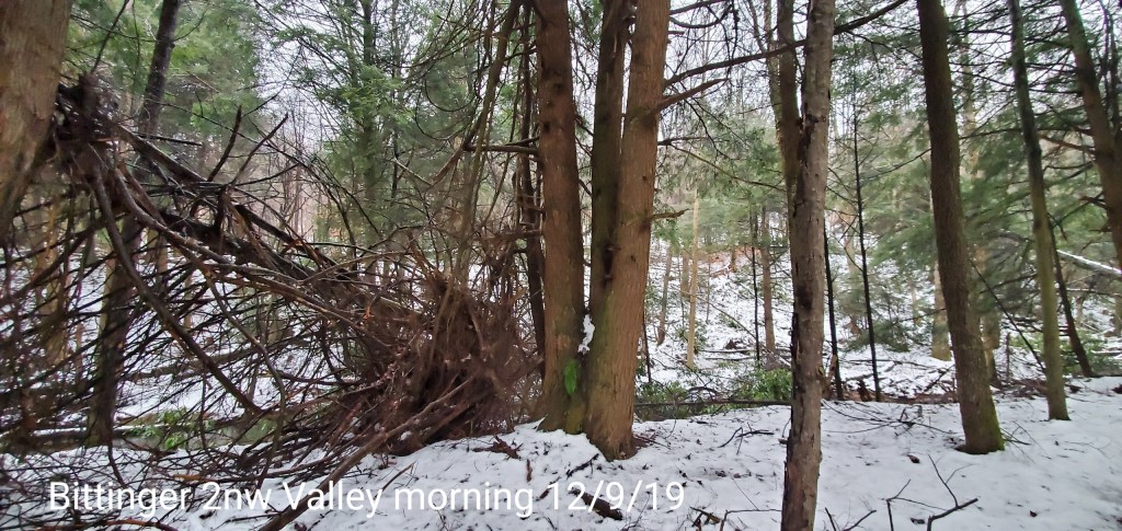
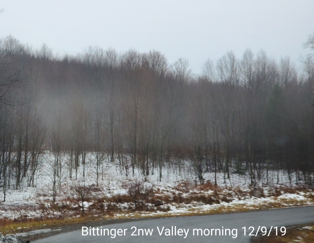
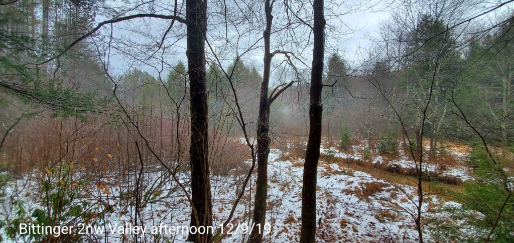
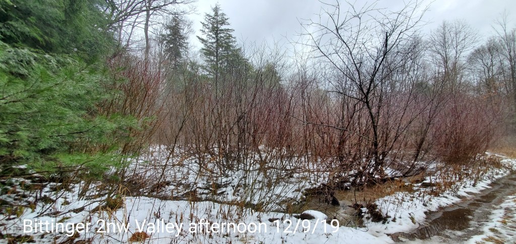
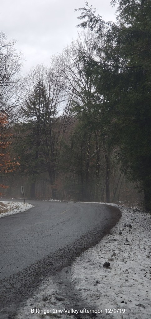
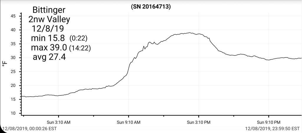
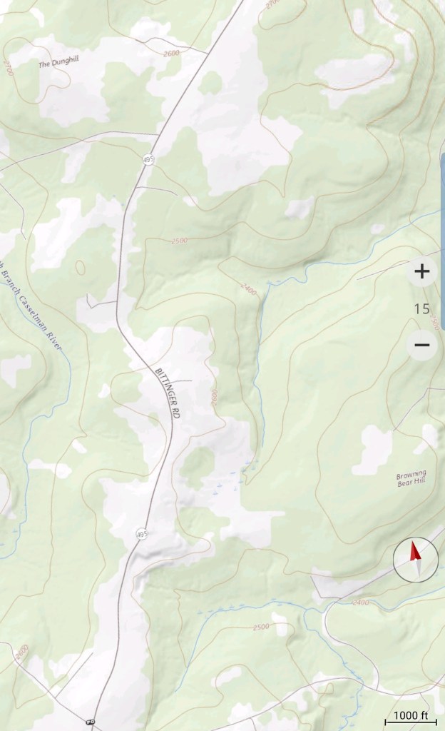
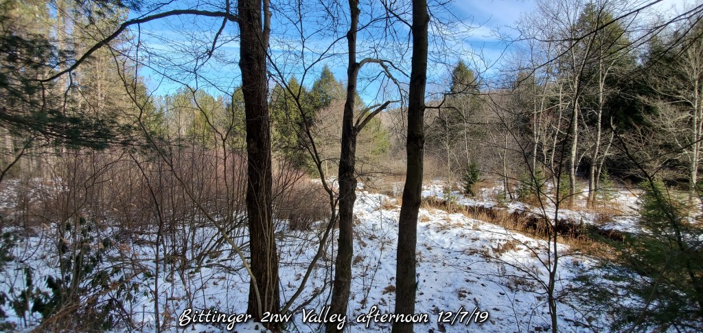
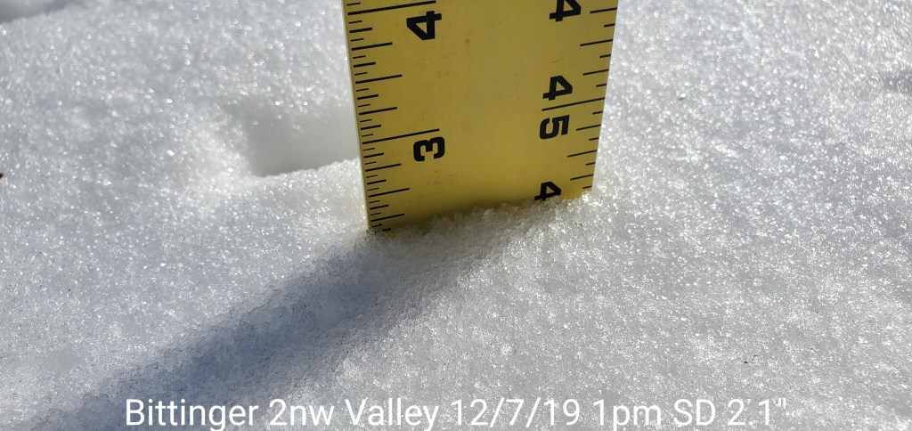
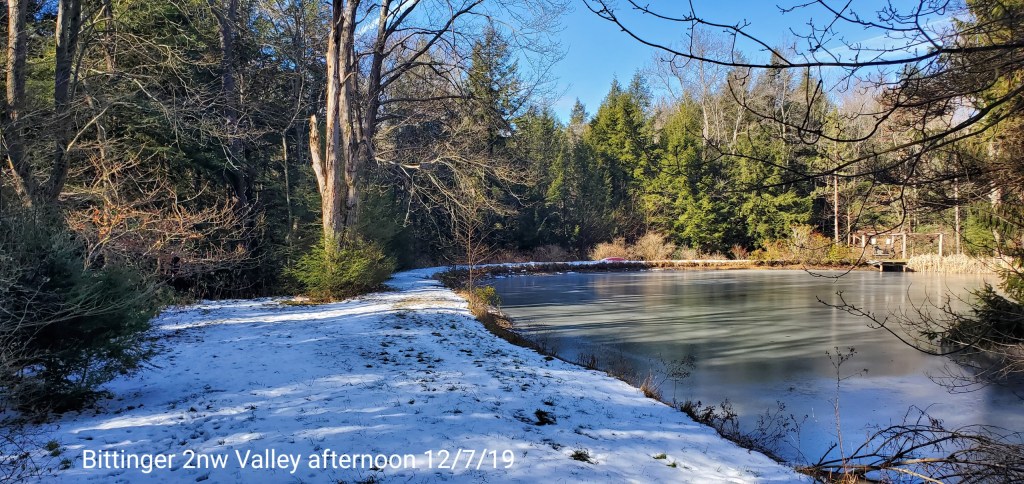
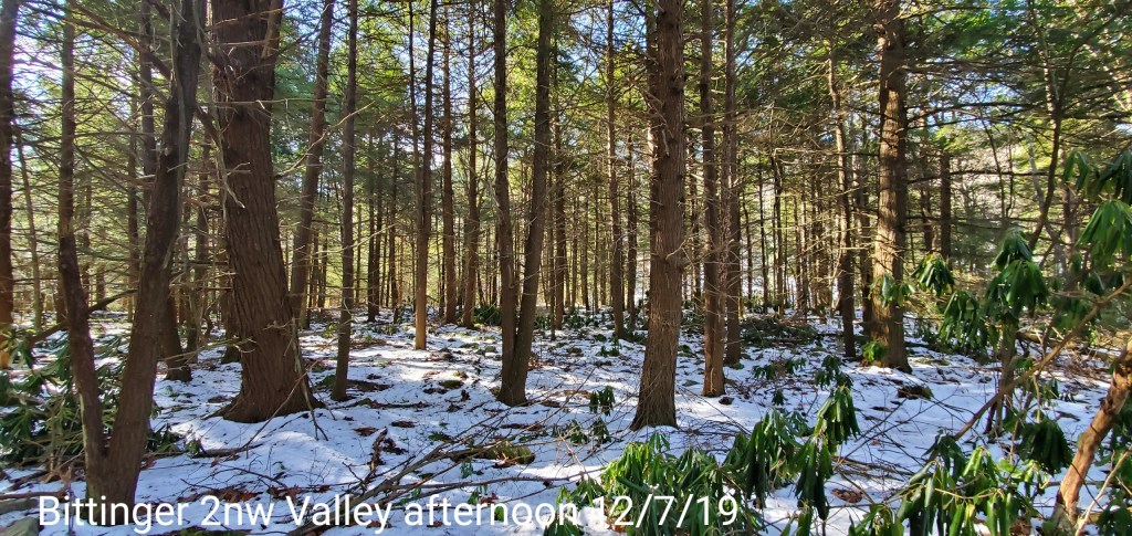
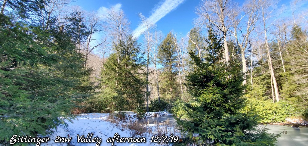
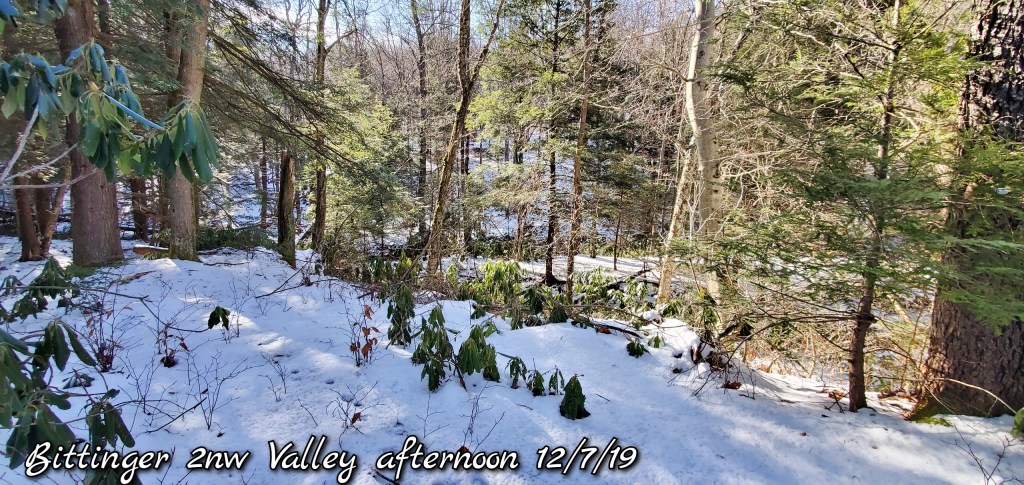
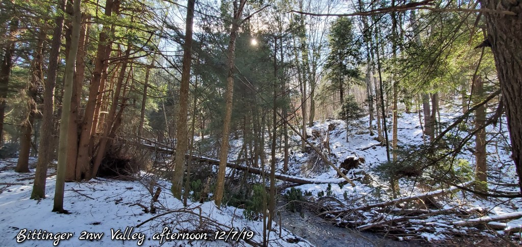
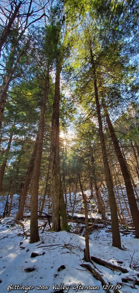
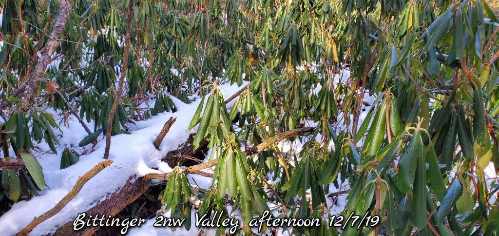
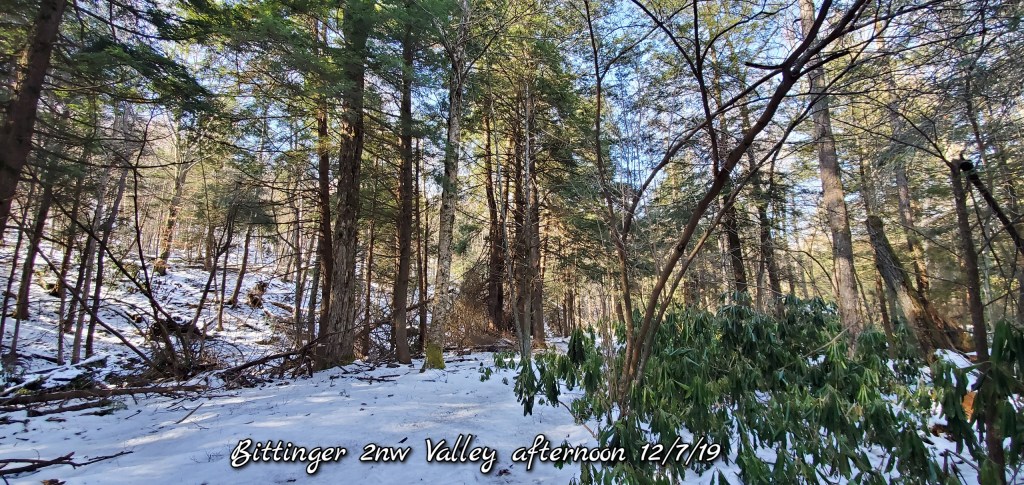
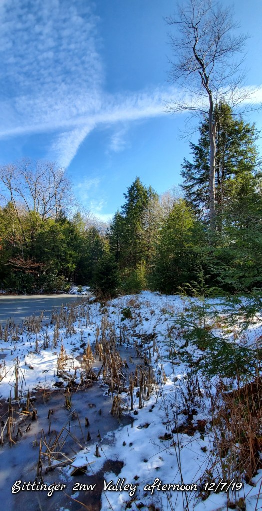
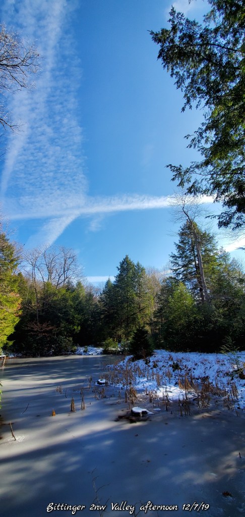
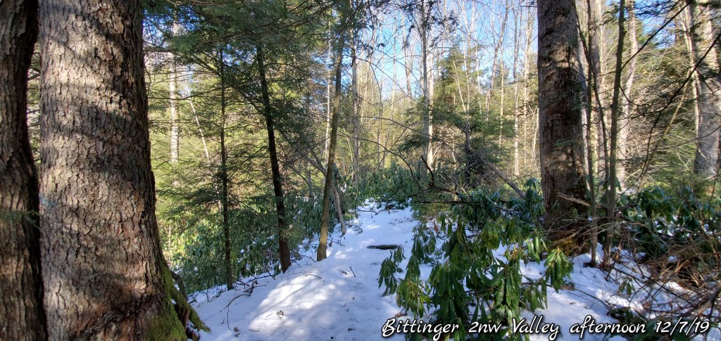
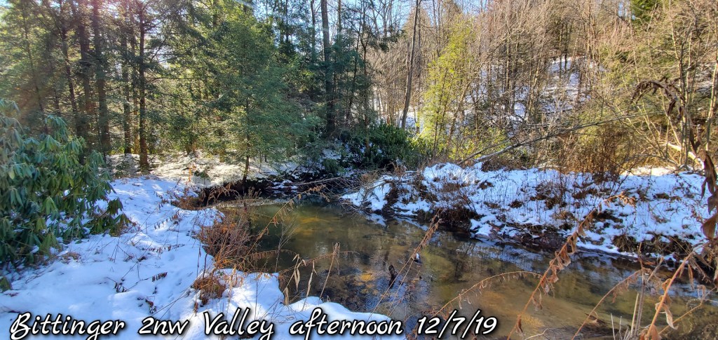
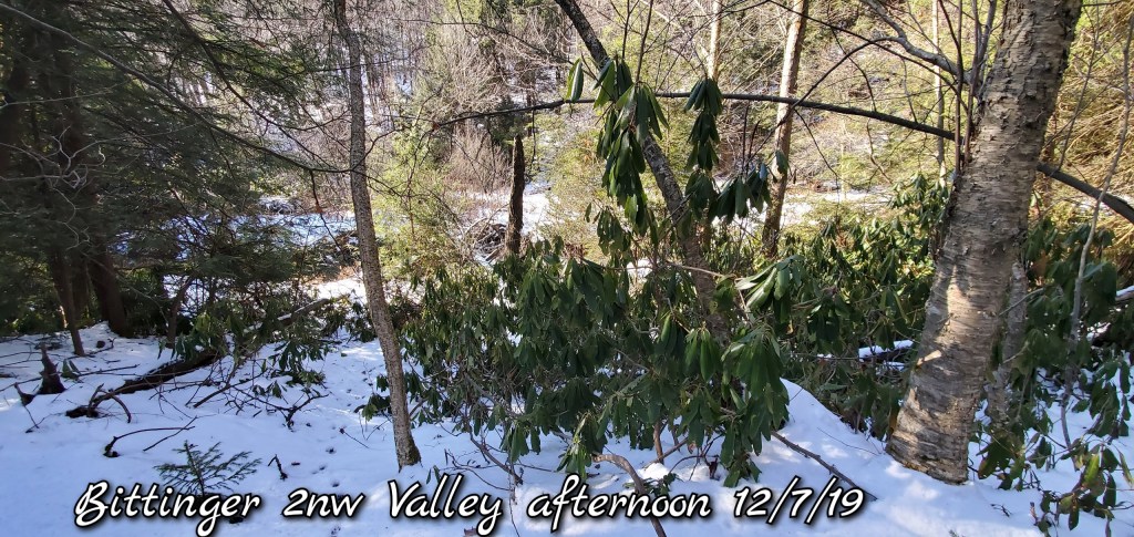
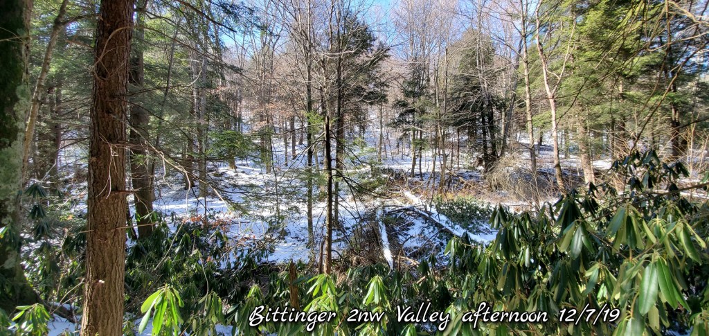
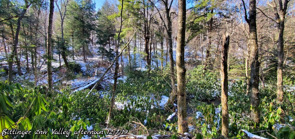
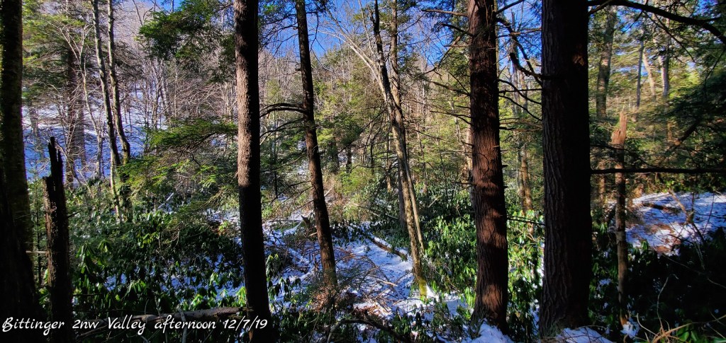
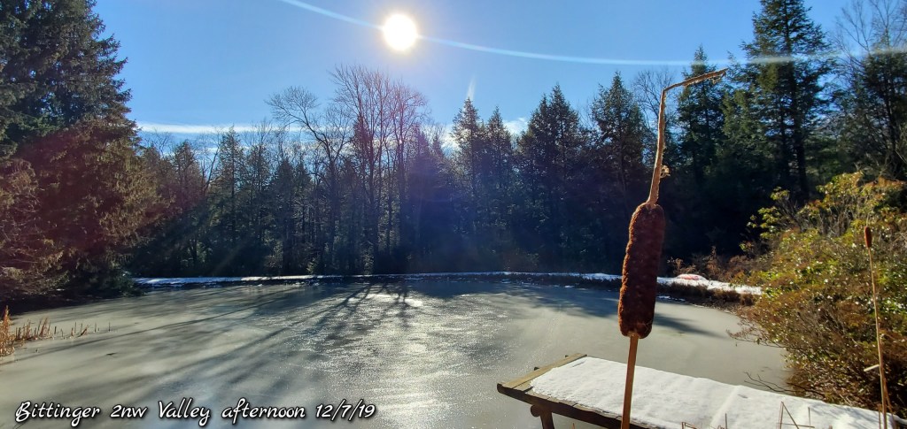
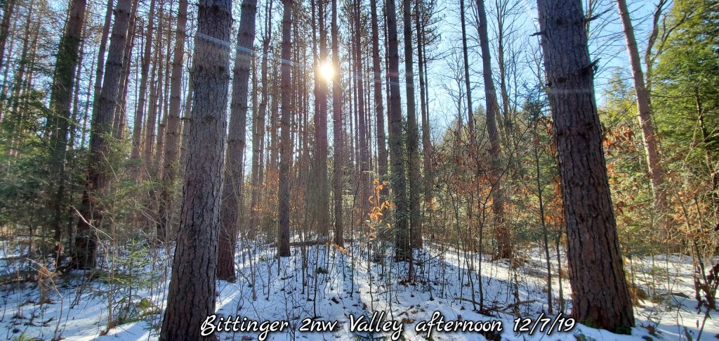
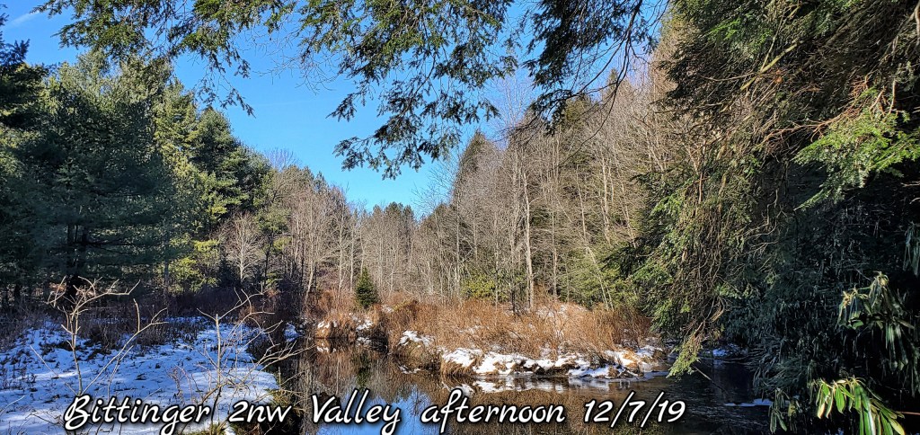
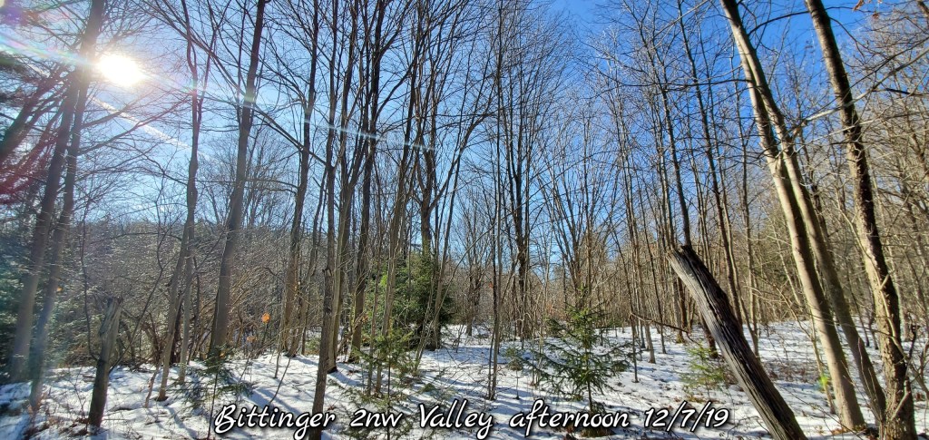
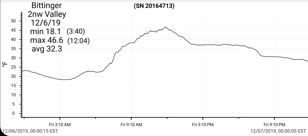
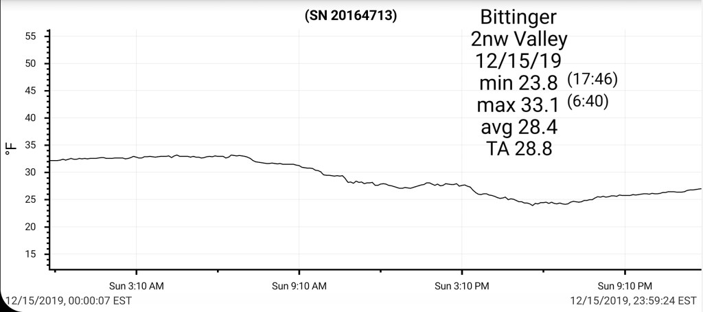
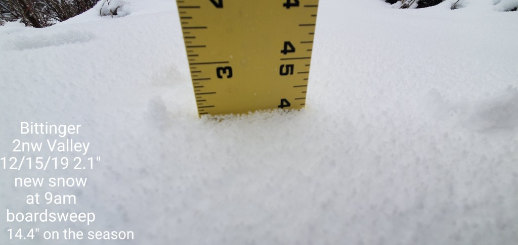
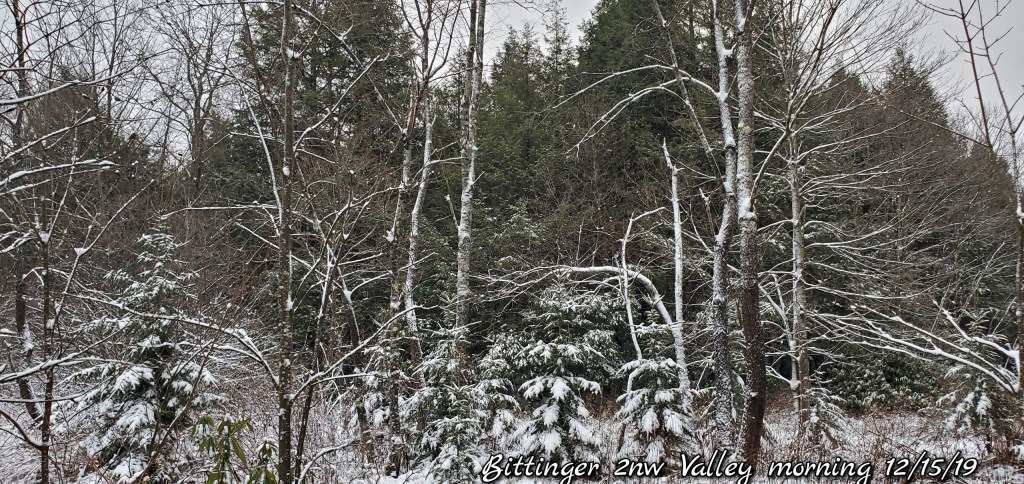
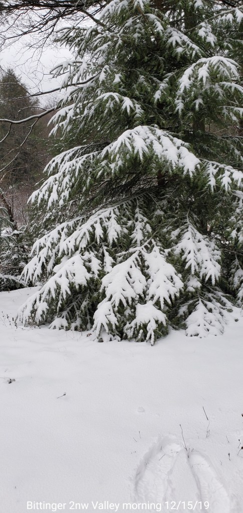
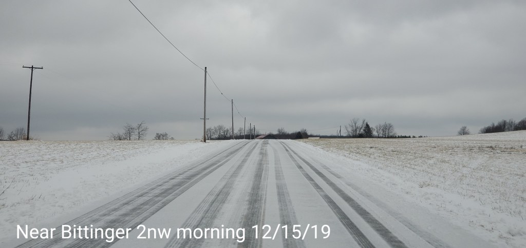
Bittinger 2nw Valley
MIN[23.8]—MAX[33.1]—AVERAGE MEAN[28.4]—TRUE AVERAGE[28.8]—PRECIP[.49]7am
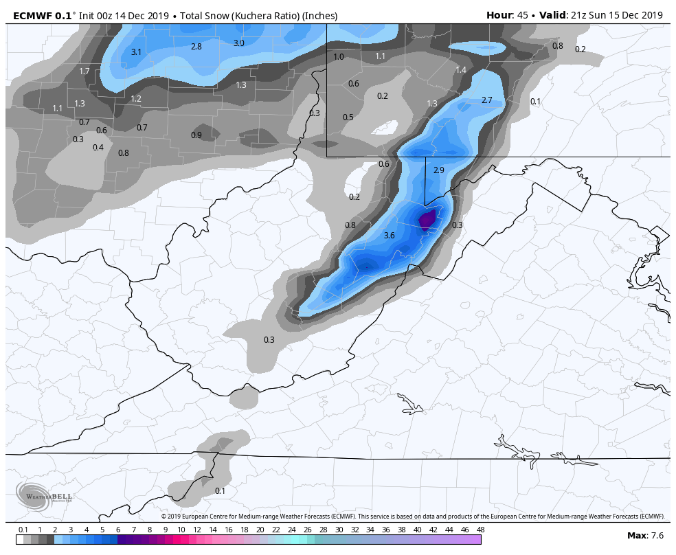
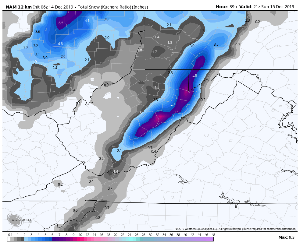
Snowfall 2.1″ through event completion
Snowfall season to date 14.4″
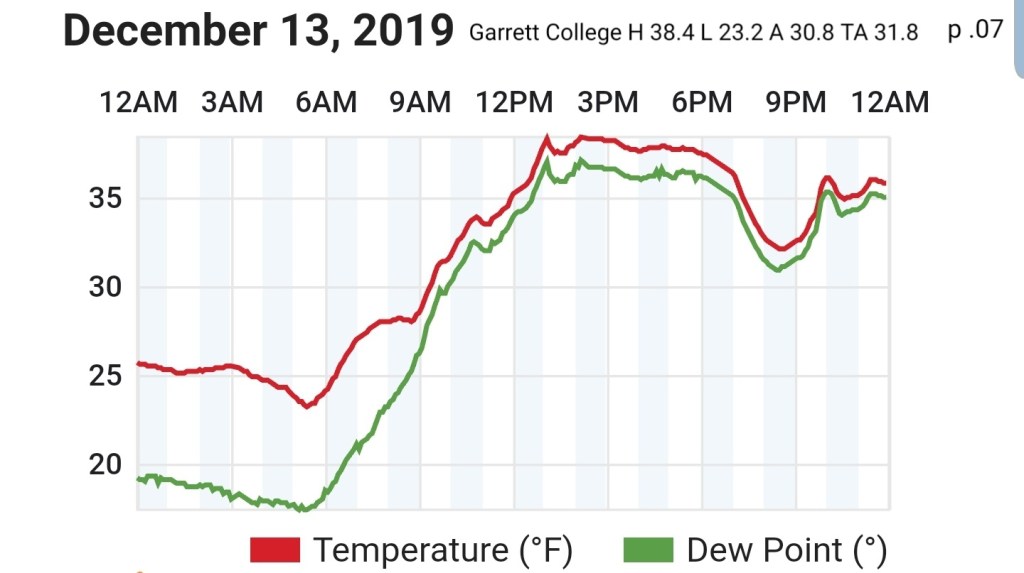
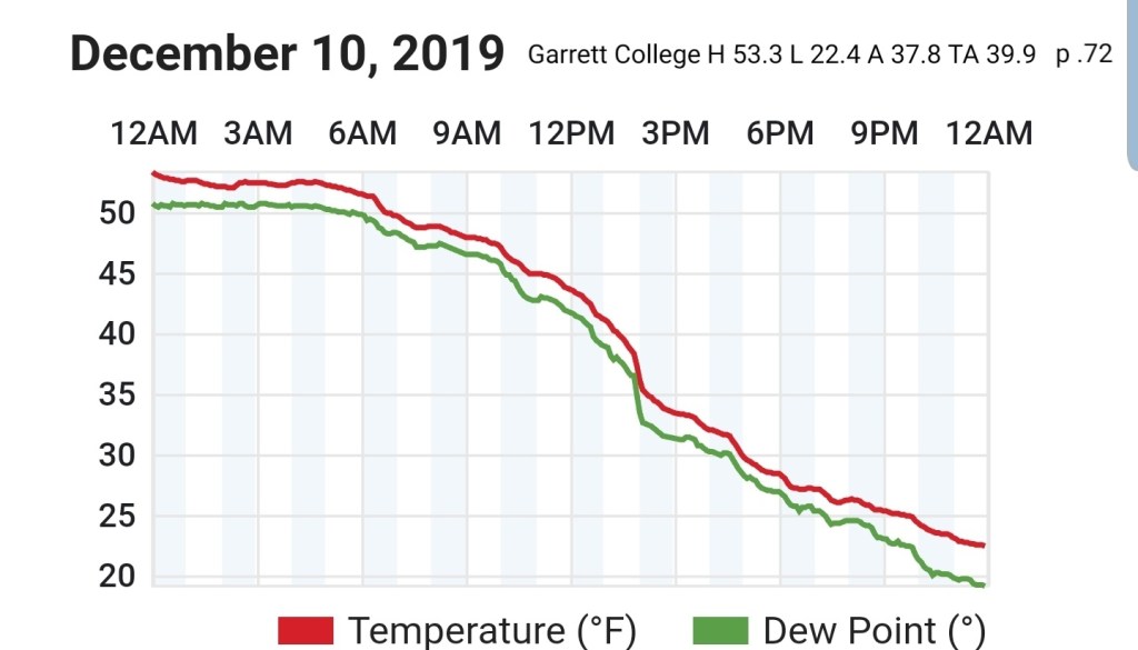
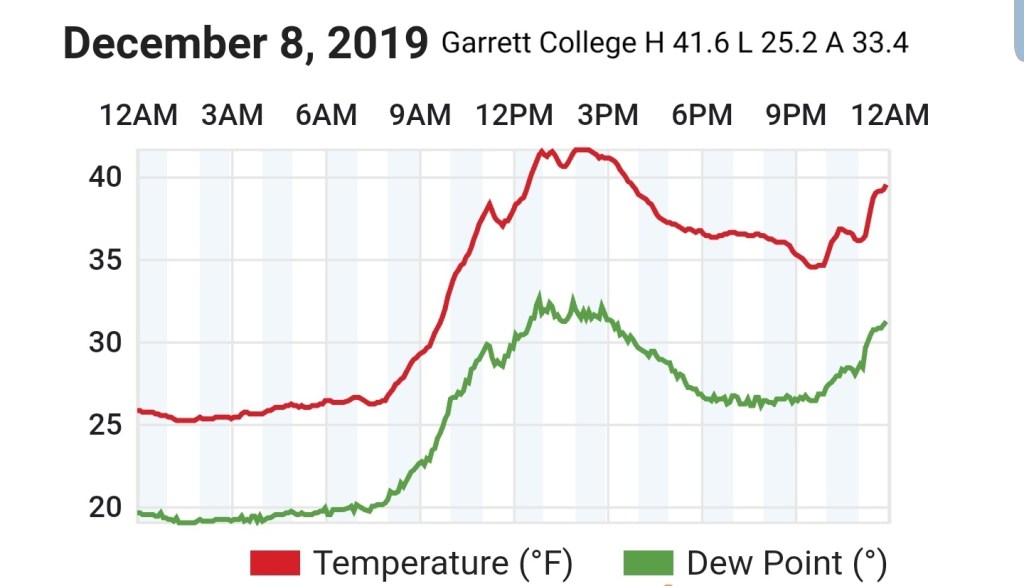
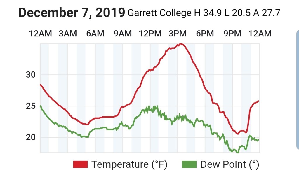
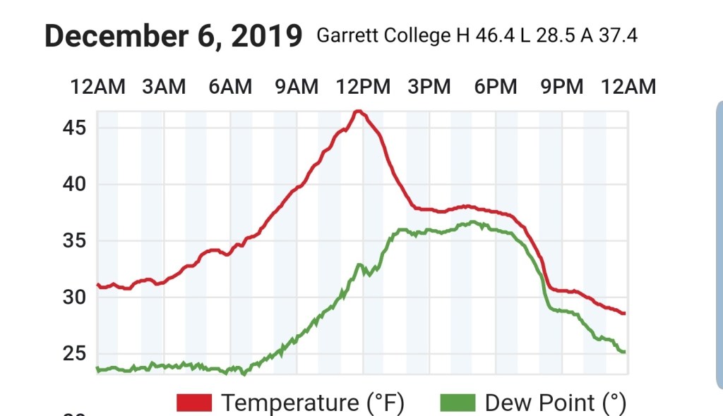
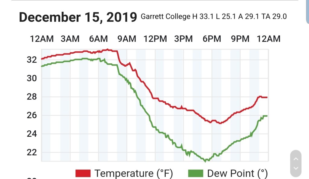
Garrett College
MIN[25.1]—MAX[33.1]—AVERAGE MEAN[29.0]—TRUE AVERAGE[29.0]—PRECIP[F/S]
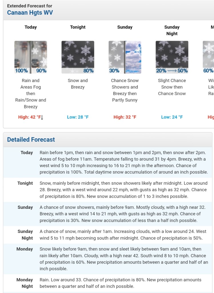
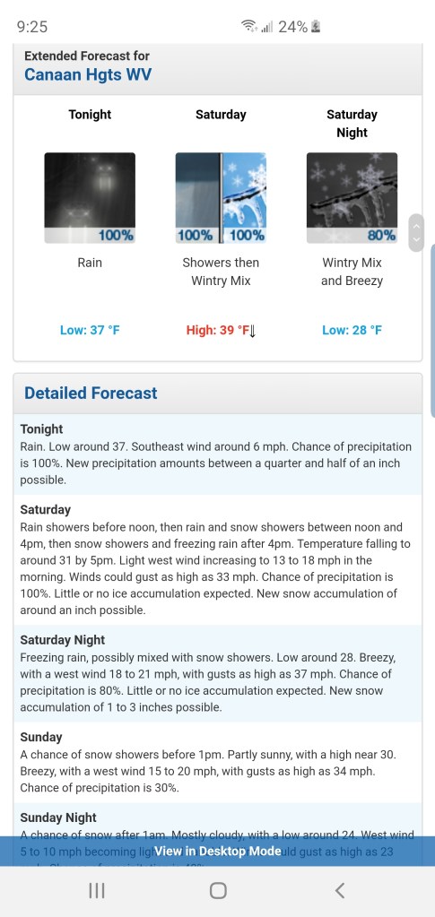
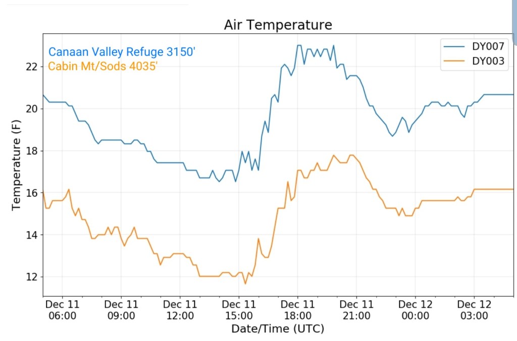
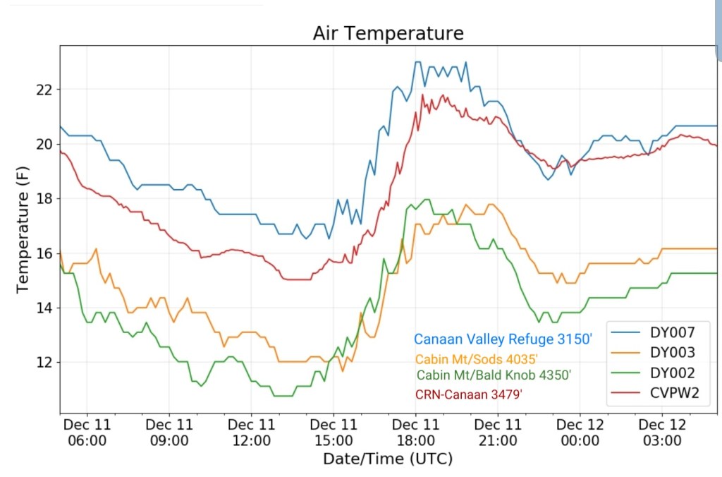
Canaan Heights/Davis 3SE
MIN[23.0]—MAX[29.9]—AVERAGE MEAN[26.4]—PRECIP[.86]7am
Snowfall 3.6″
Snowfall season to date 24.1″
Comments by Dave Lesher
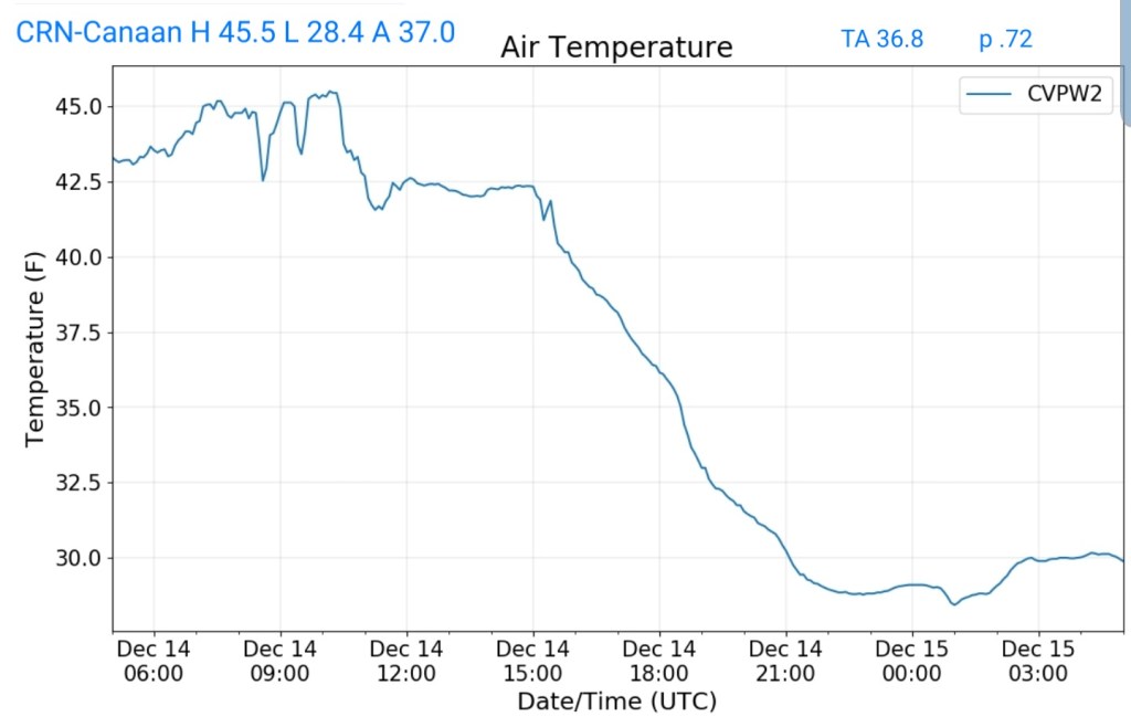
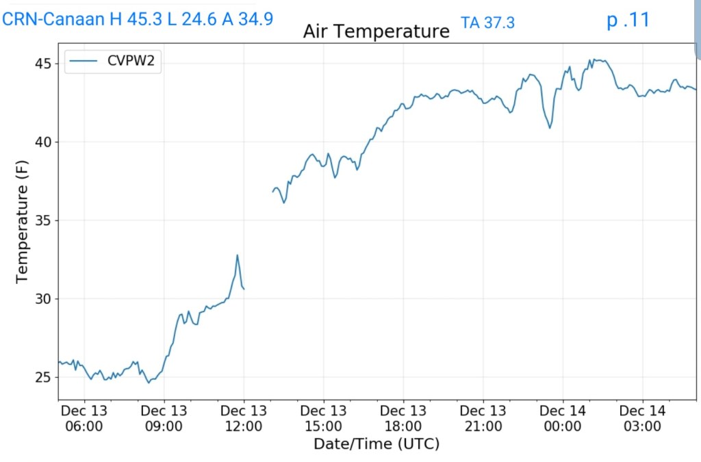
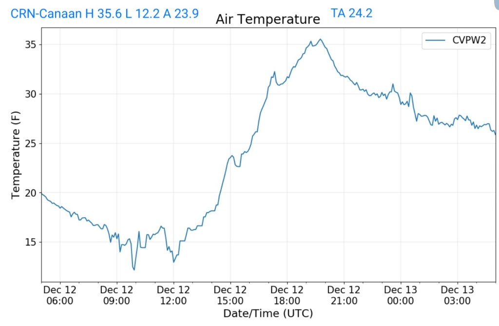
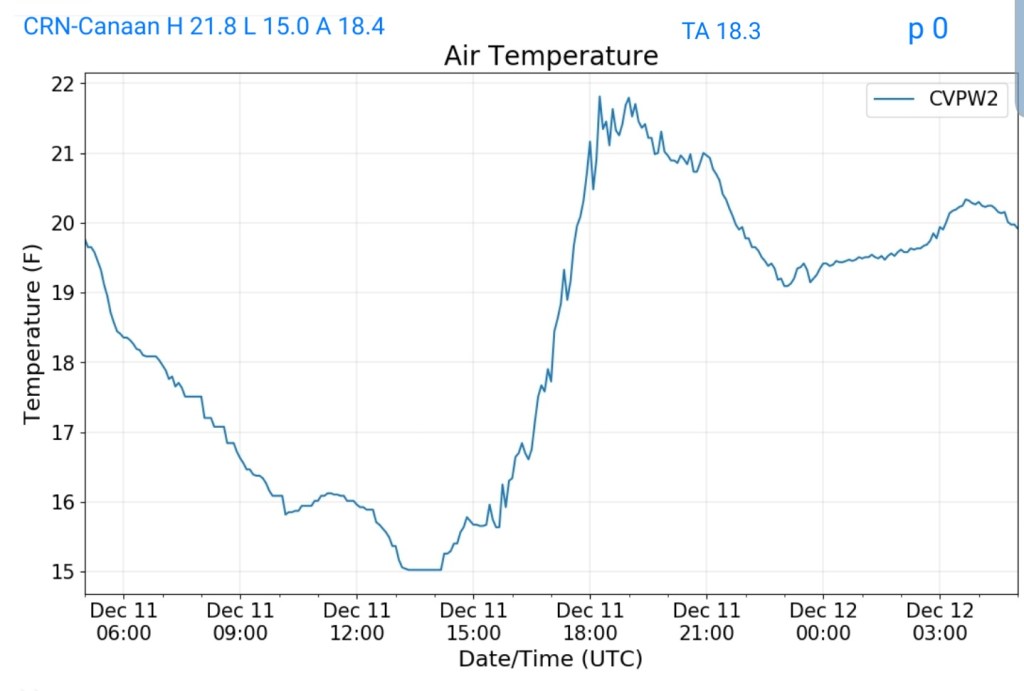
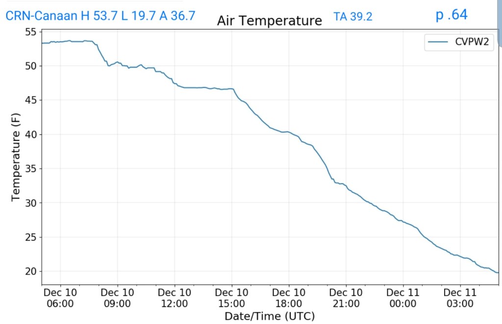
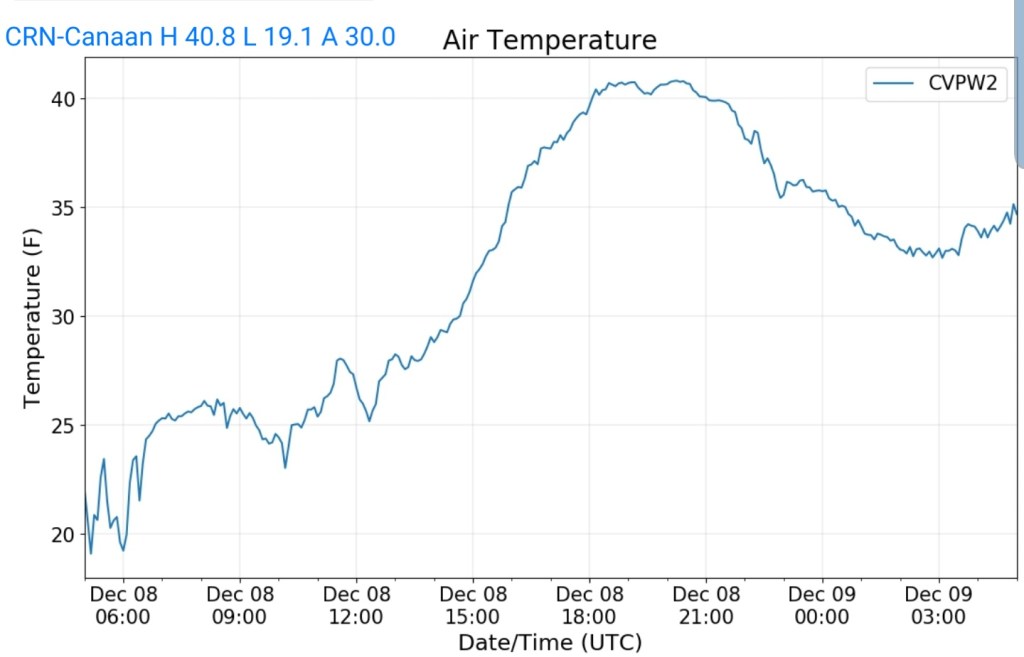
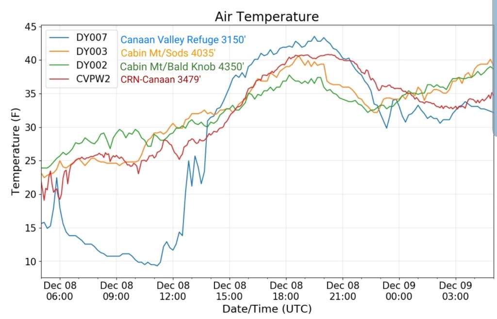
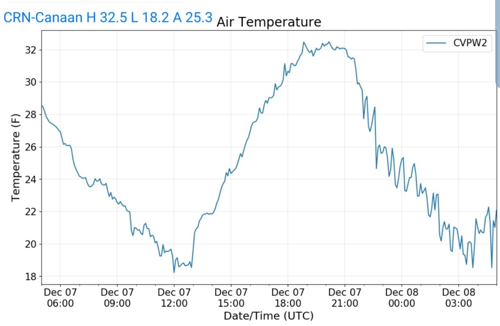
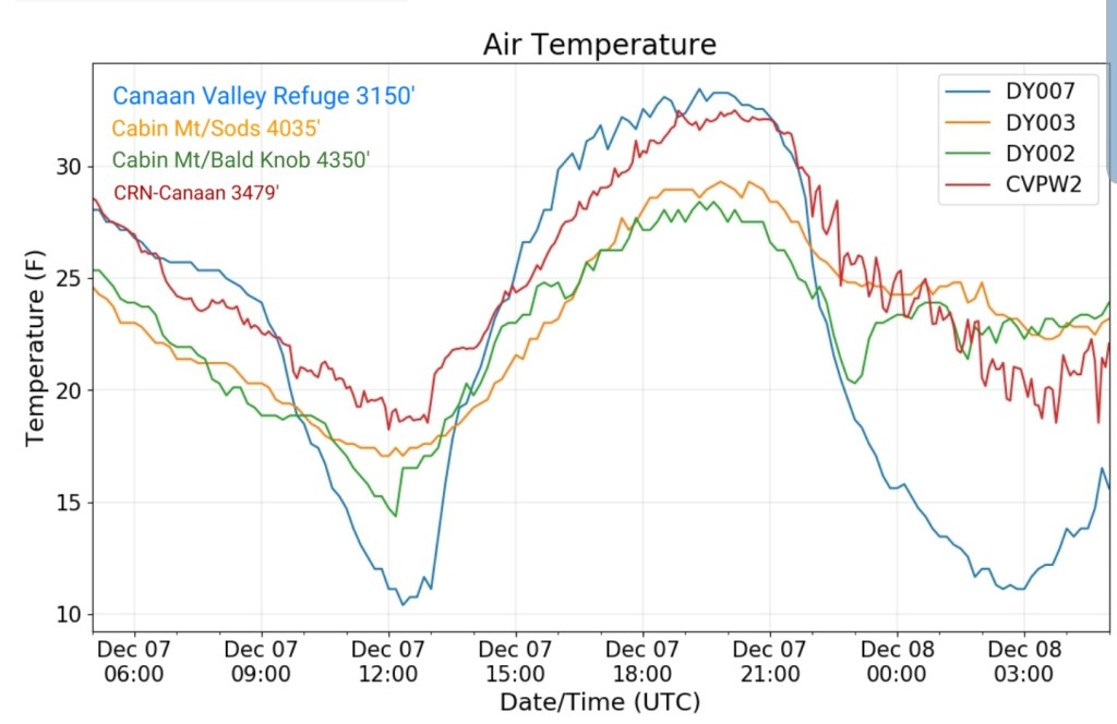
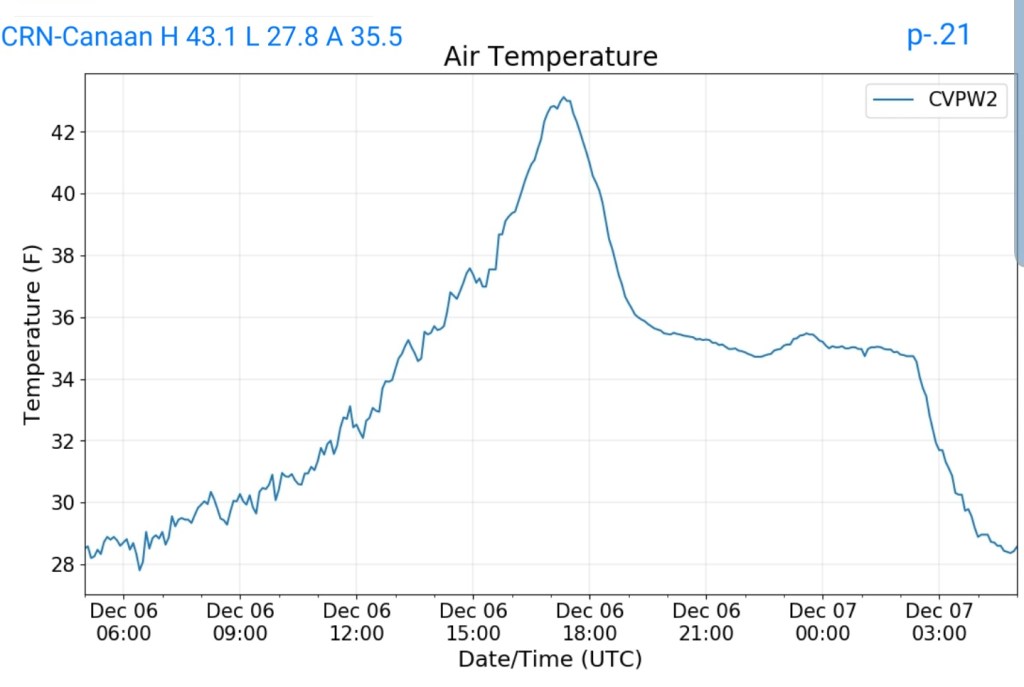
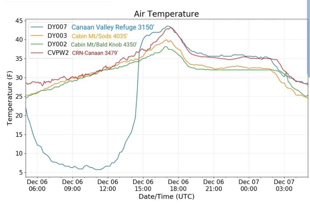
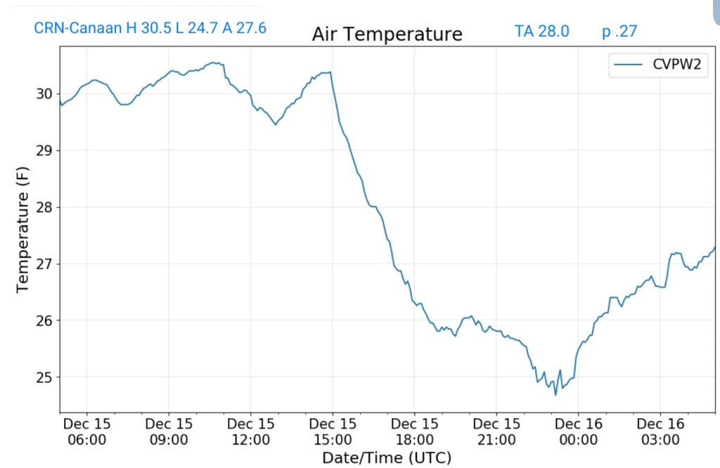
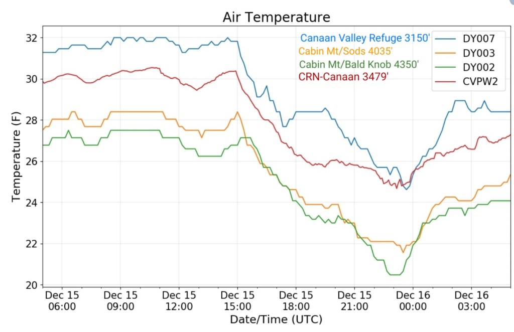
Climate Reference Network Canaan
MIN[24.7]—MAX[30.5]—AVERAGE MEAN[27.6]—TRUE AVERAGE[28.0]—PRECIP[.27]
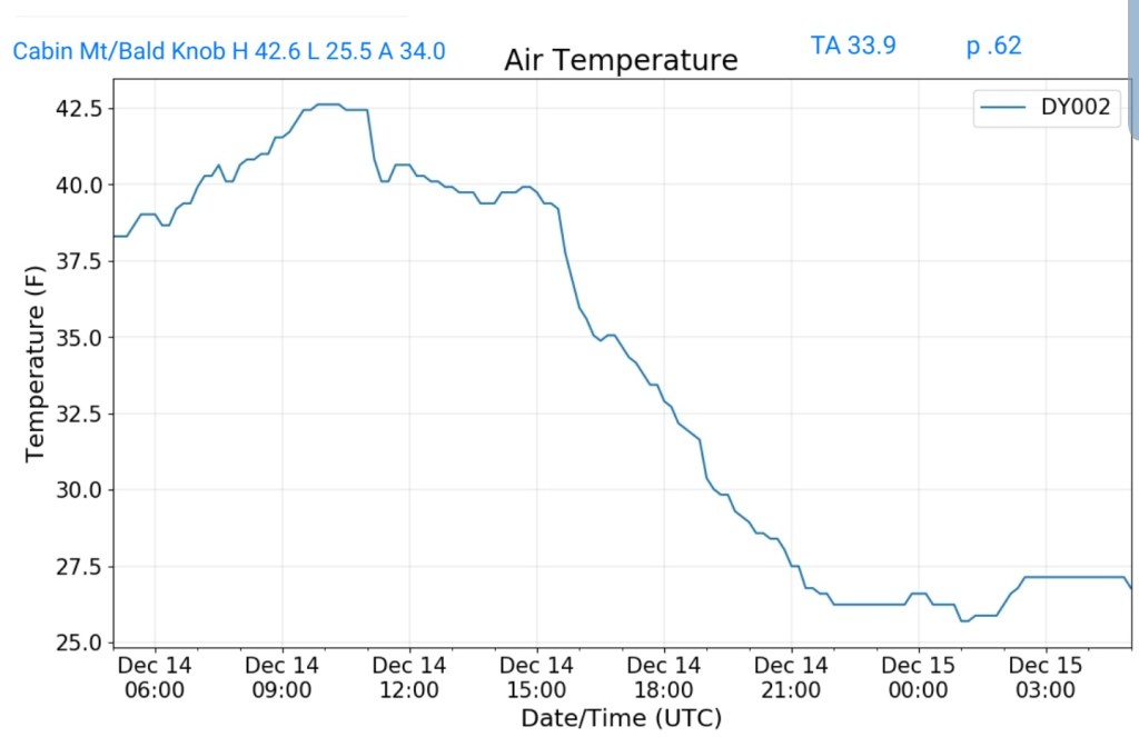
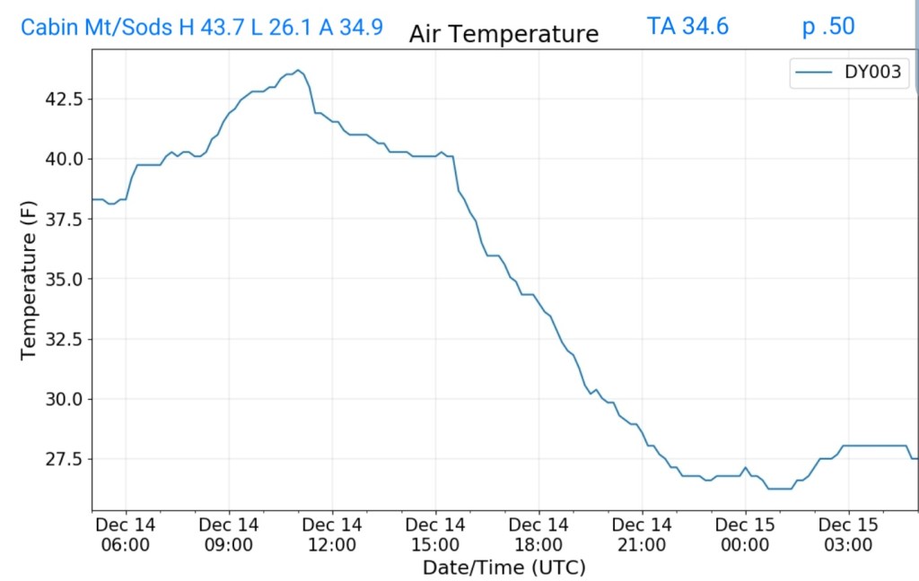
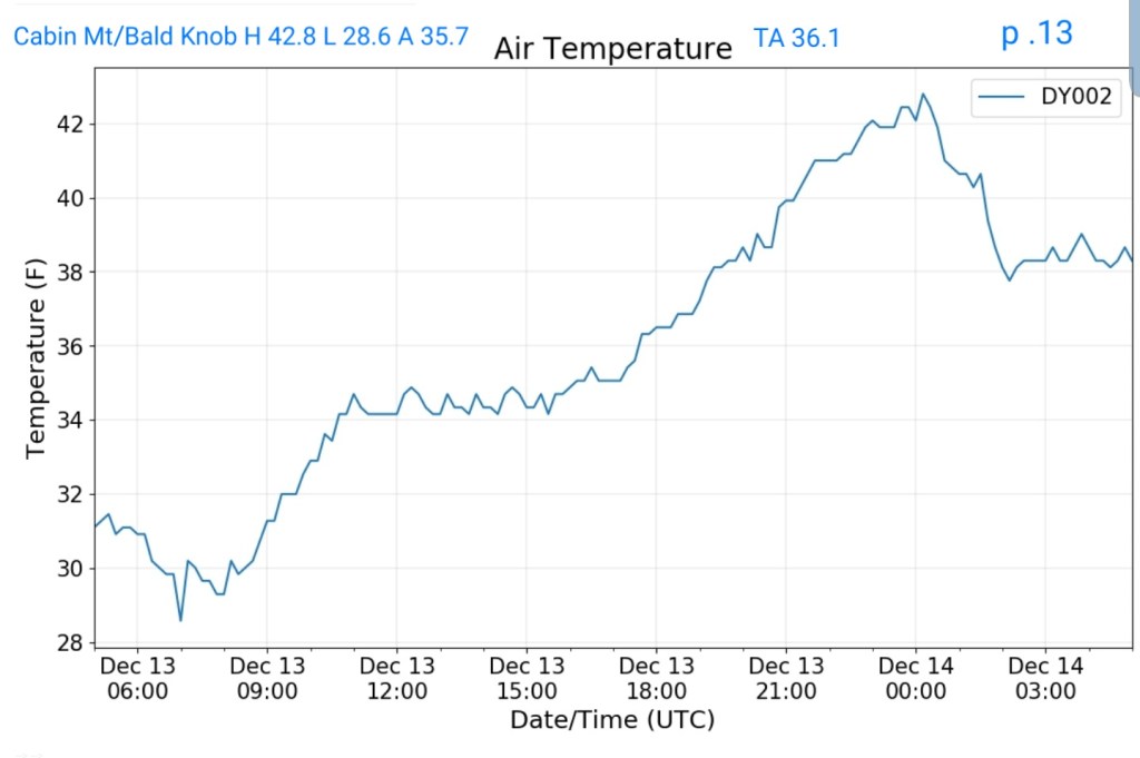
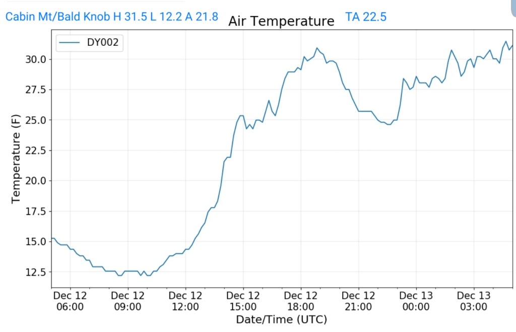
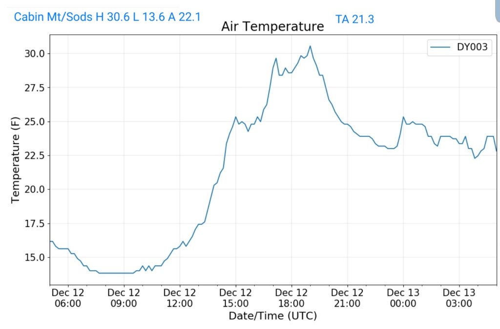
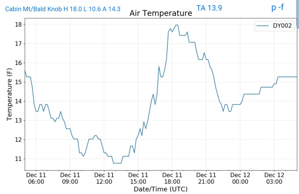
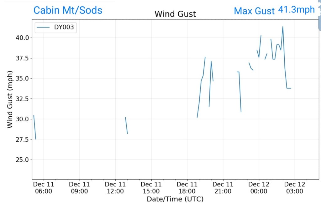
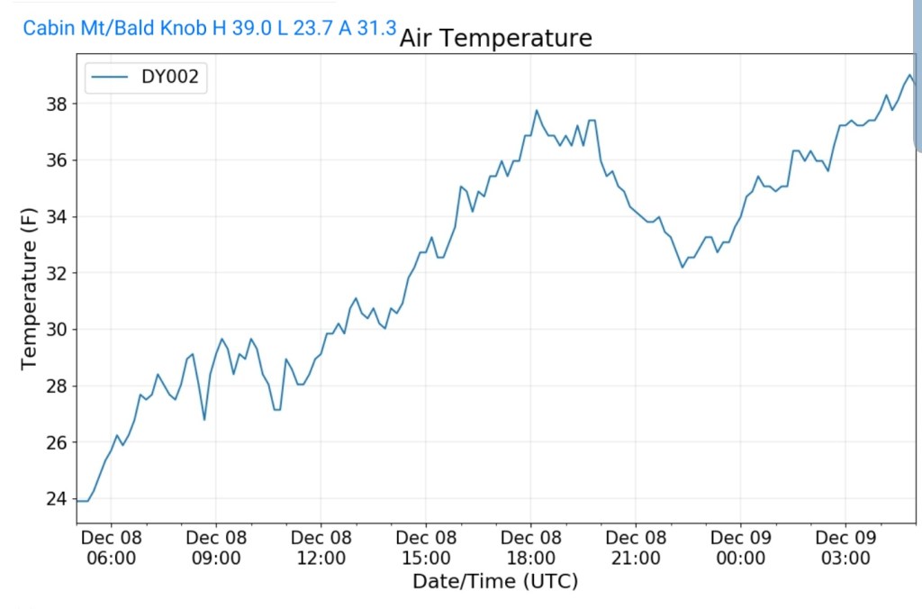
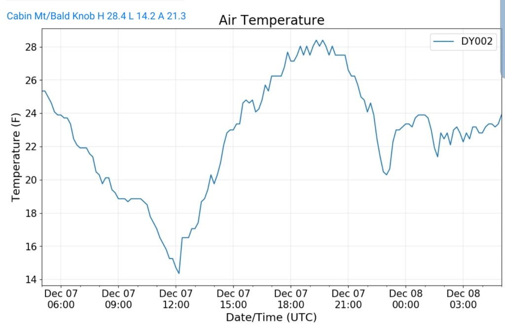
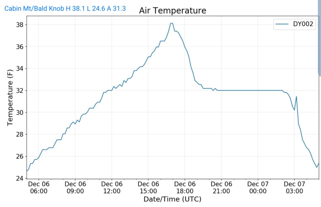
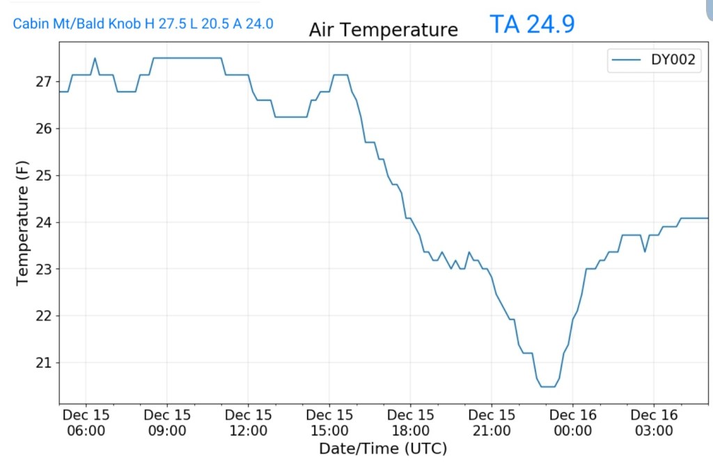
Cabin Mt at Bald Knob
MIN[20.5]—MAX[27.5]—AVERAGE MEAN[24.0]—TRUE AVERAGE[24.9]—PRECIP[F]
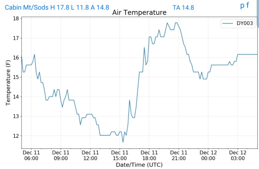
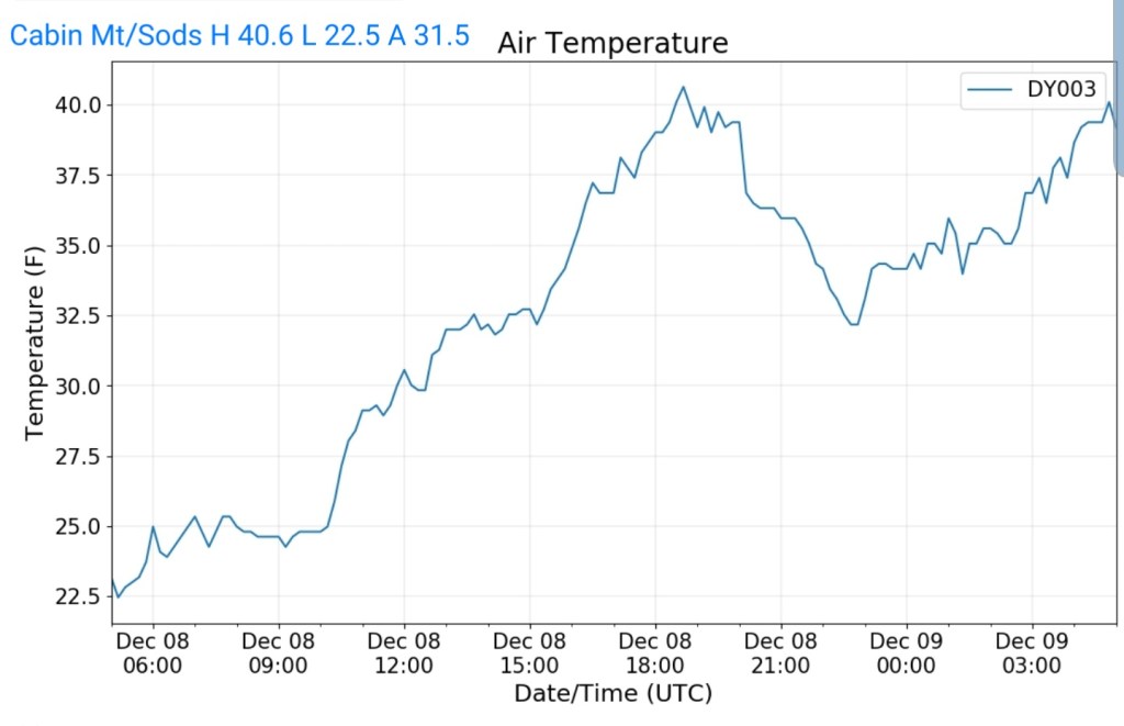
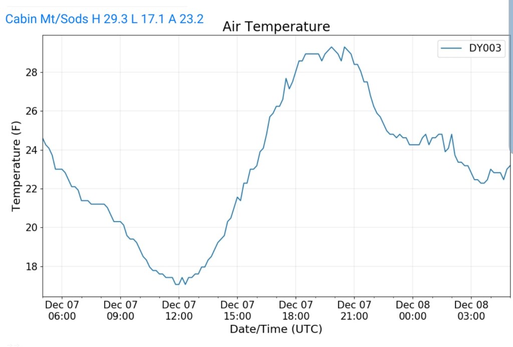
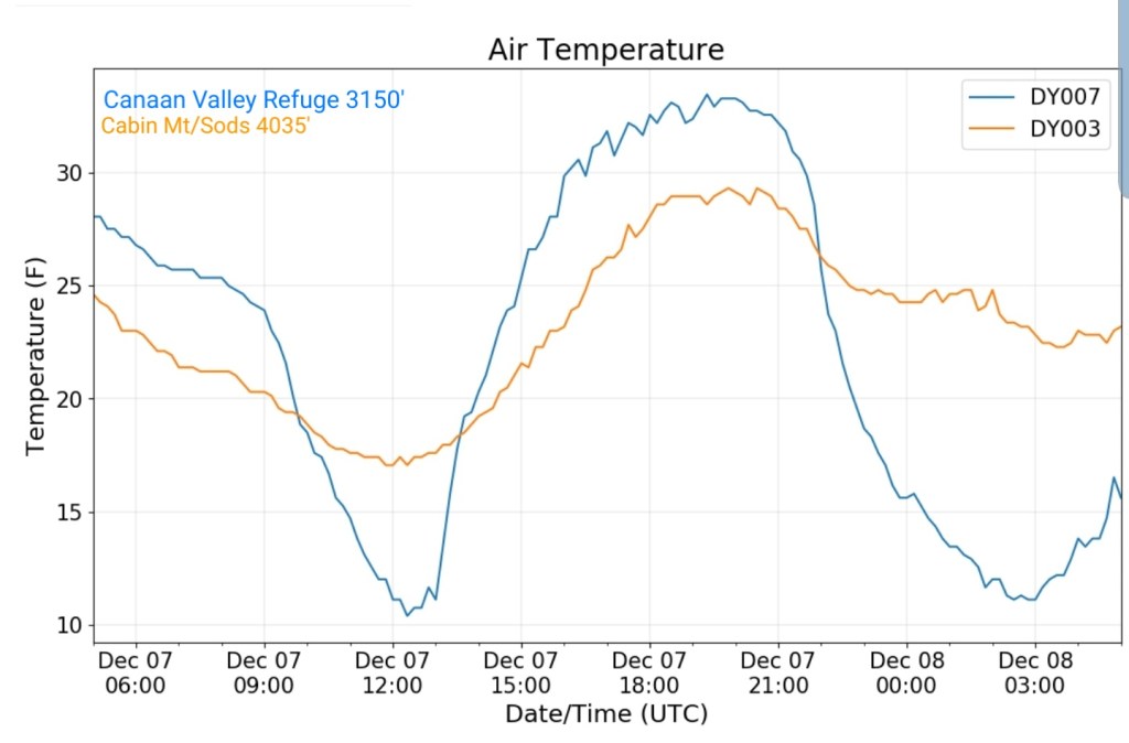
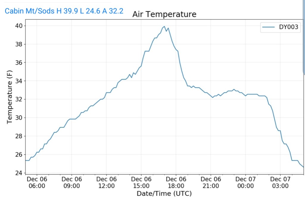
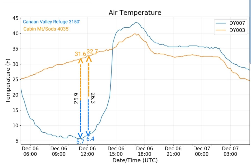
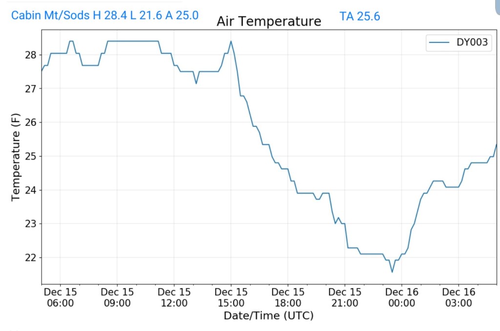
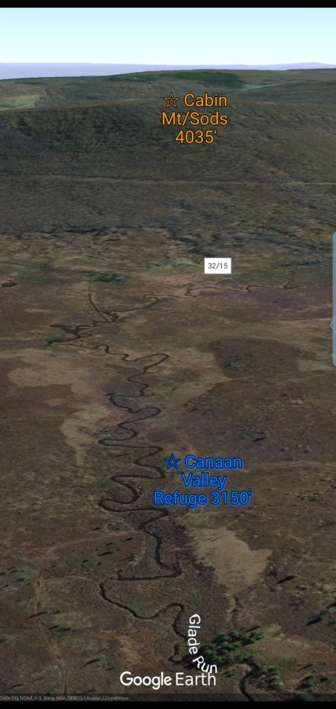
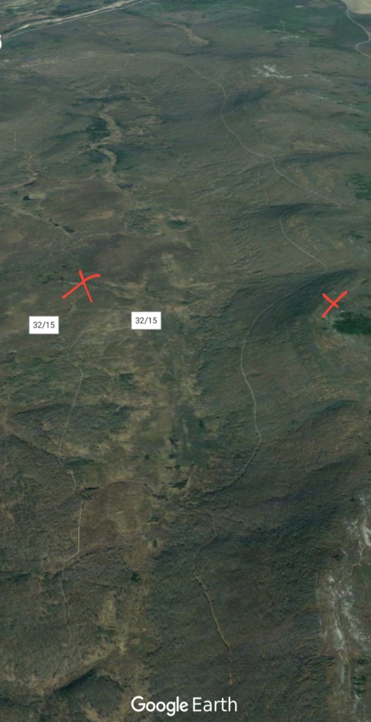
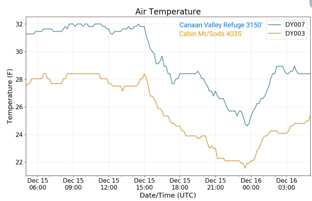
Cabin Mt-Western Sods
MIN[21.6]—MAX[28.4]—AVERAGE MEAN[25.0]—TRUE AVERAGE[25.6]—PRECIP[F]
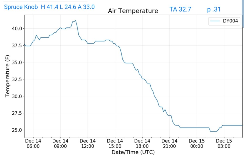
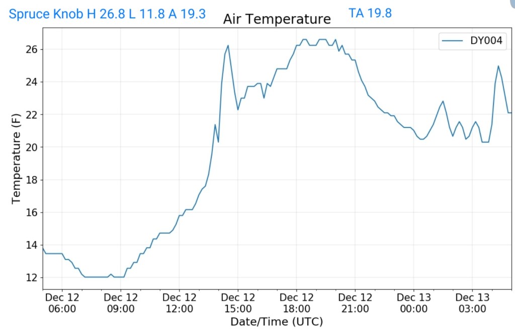
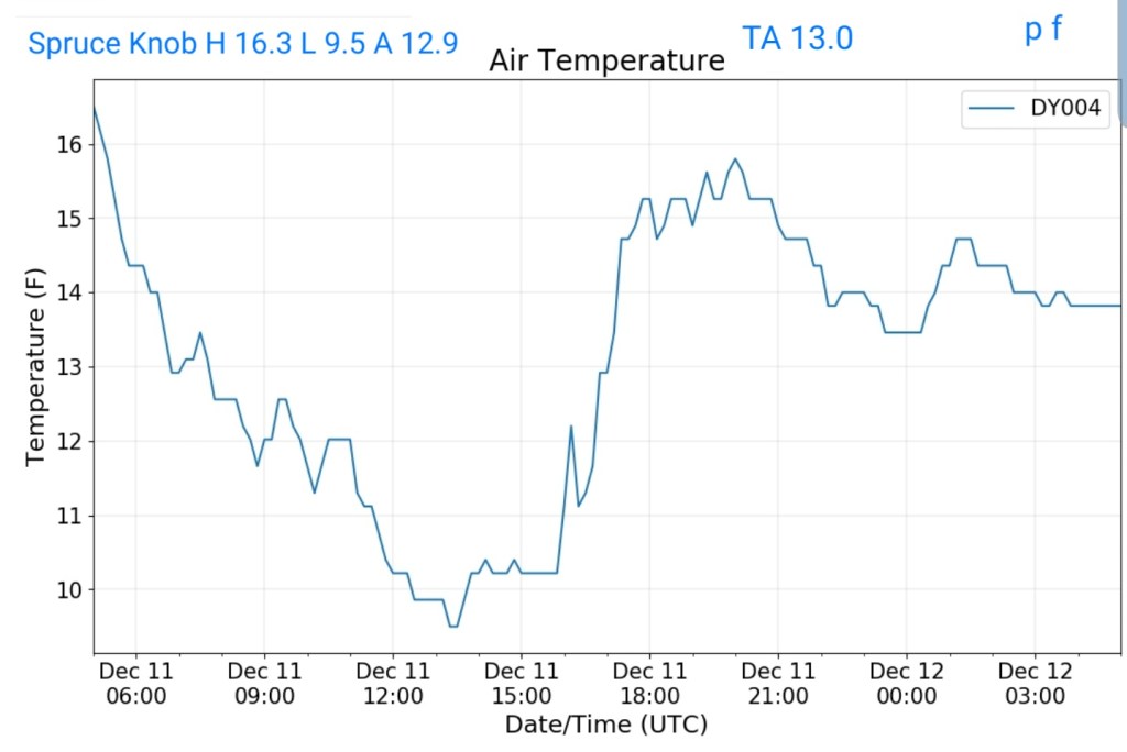
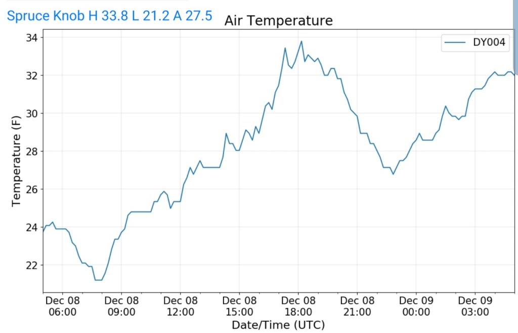
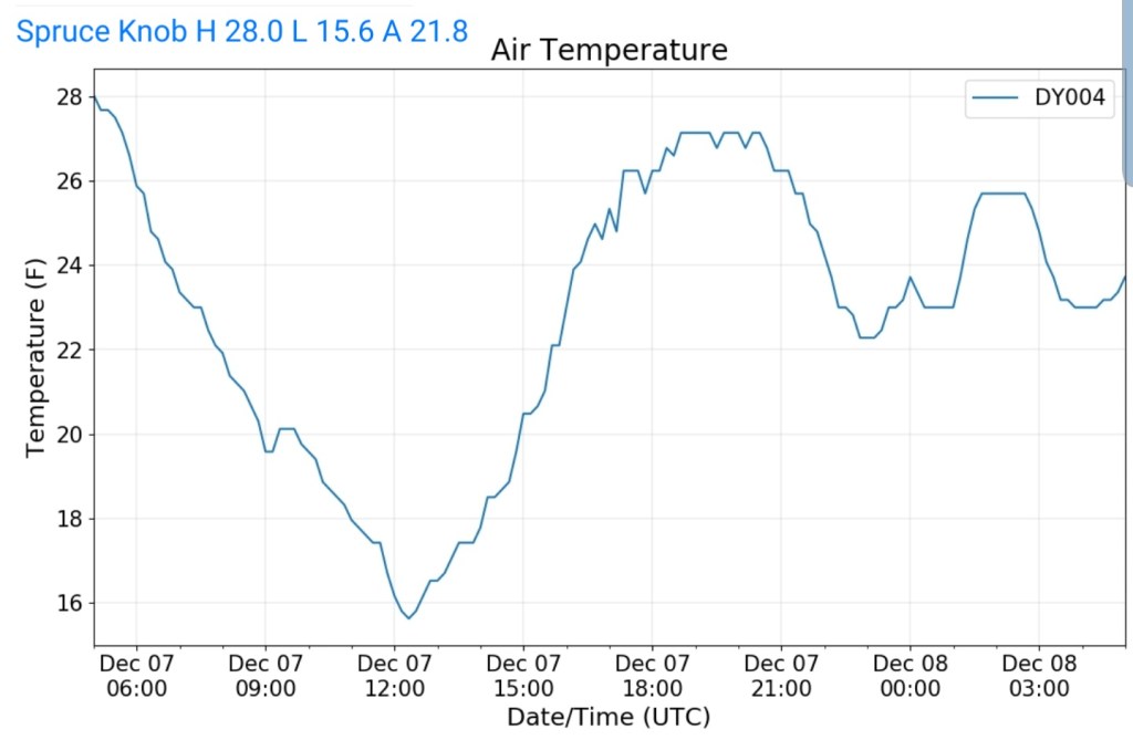
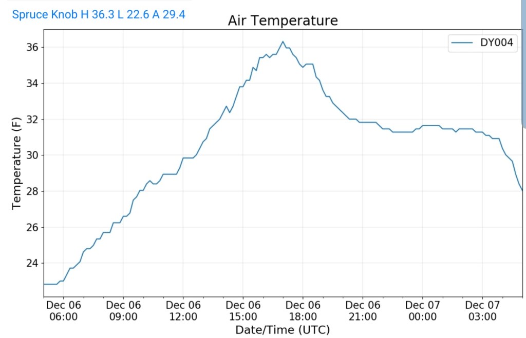
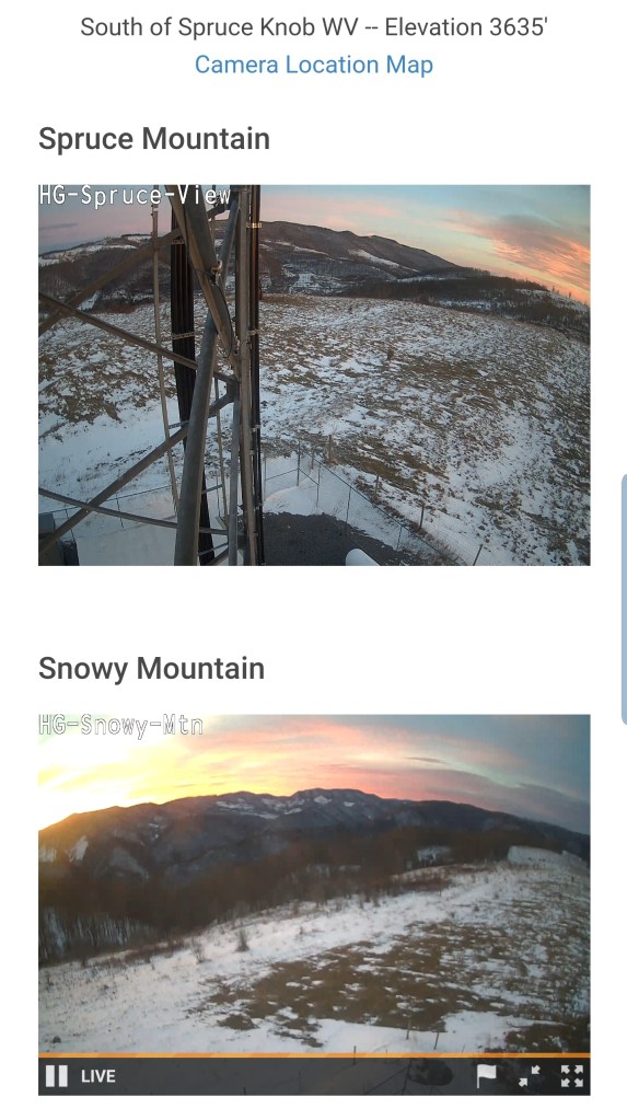
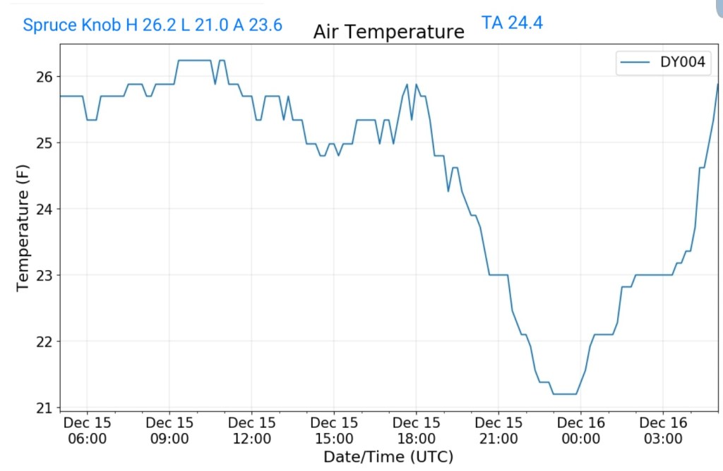
Spruce Knob
MIN[21.0]—MAX[26.2]—AVERAGE MEAN[23.6]—TRUE AVERAGE[24.4
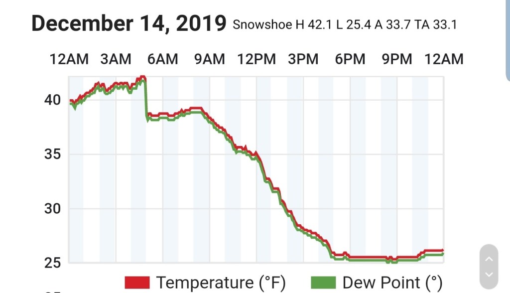
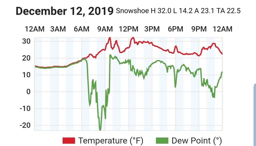
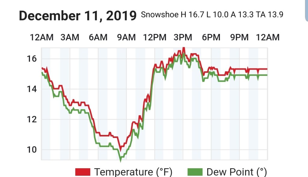
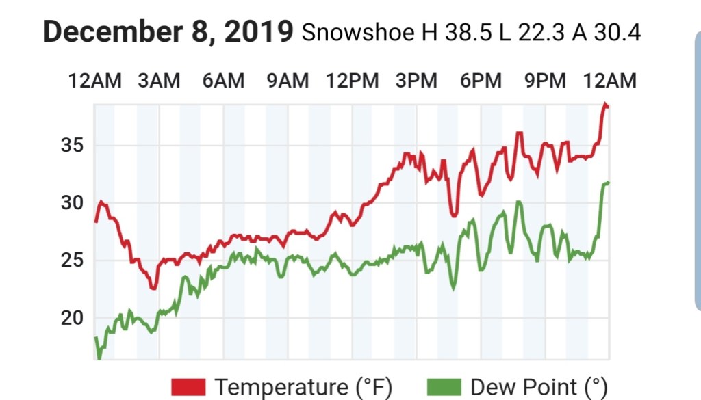
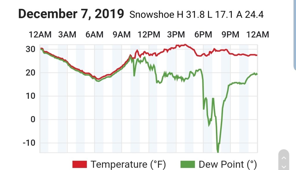
Snowshoe
MIN[23.2]—MAX[26.8]—AVERAGE MEAN[25.0]—TRUE AVERAGE[25.5]

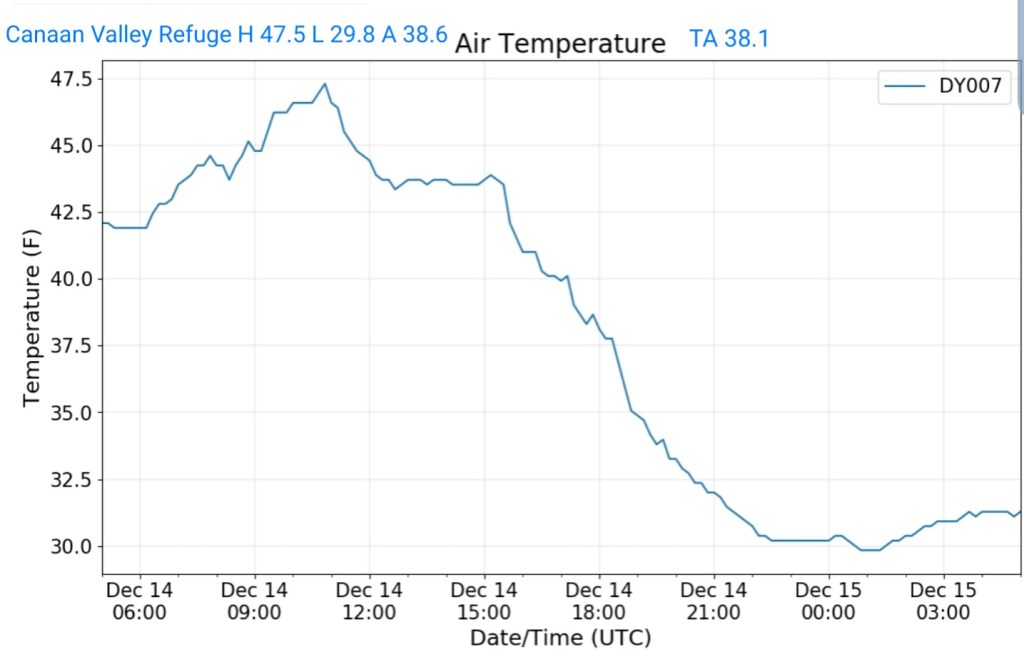
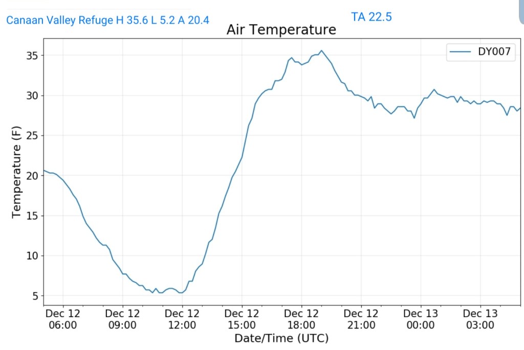
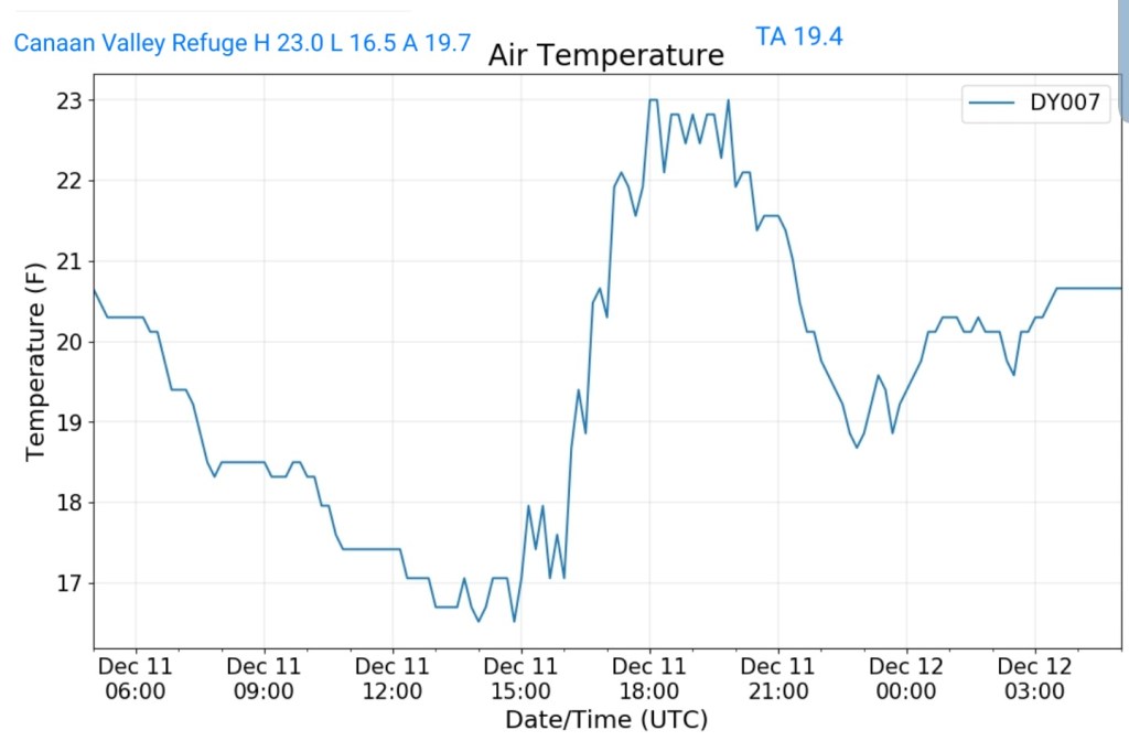
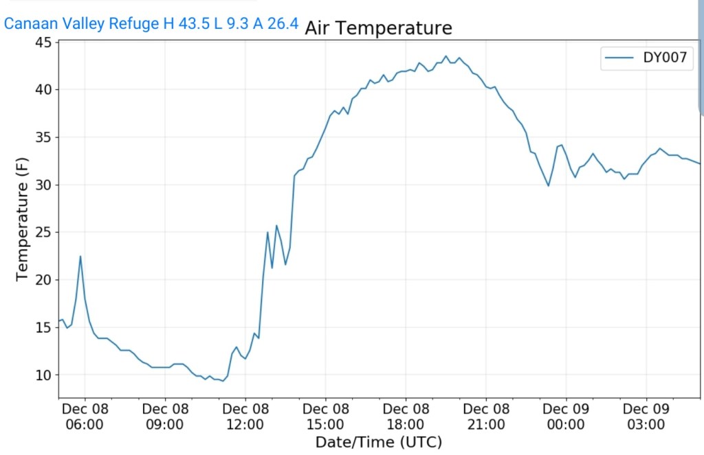
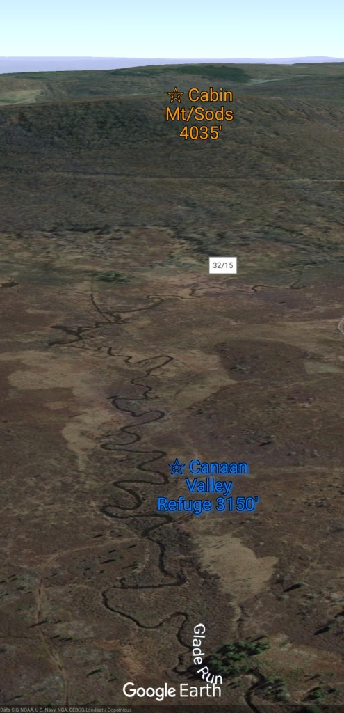
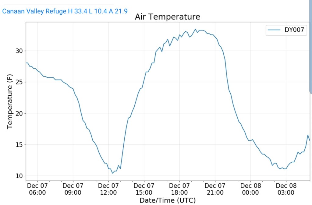
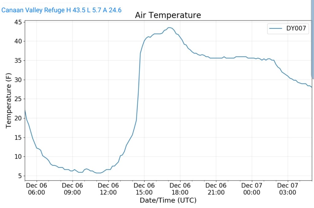
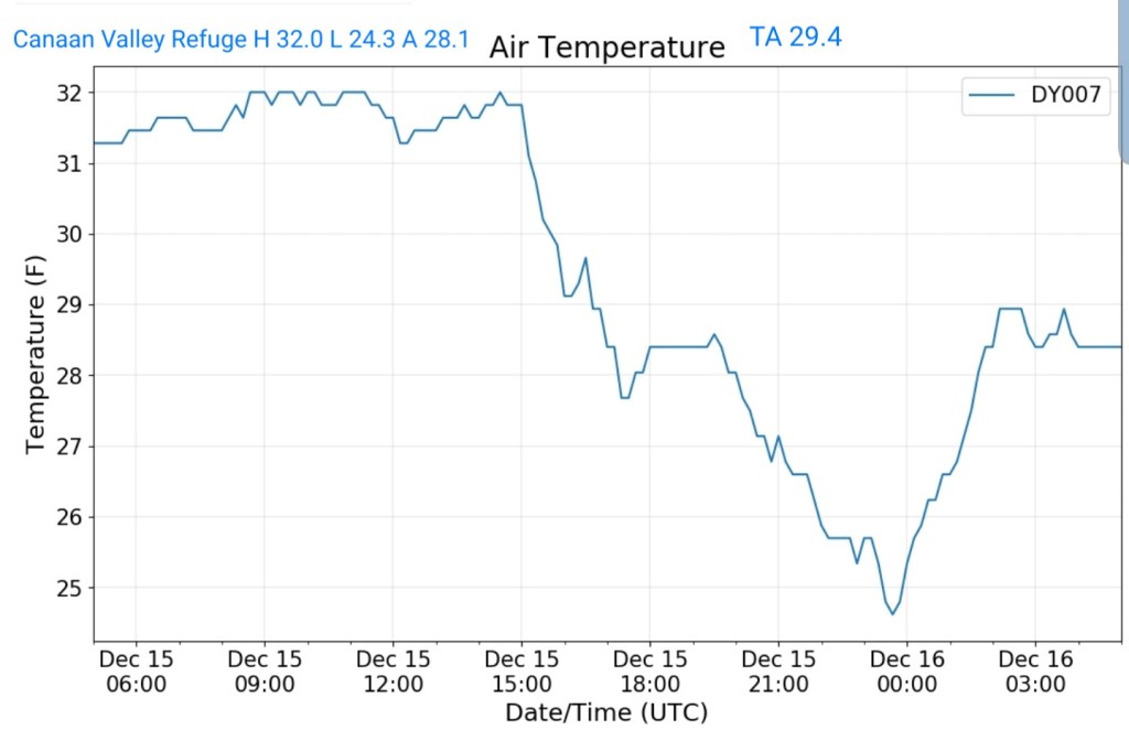
Canaan Valley Refuge
MIN[24.3]—MAX[32.0]—AVERAGE MEAN[28.1]—TRUE AVERAGE[29.4]
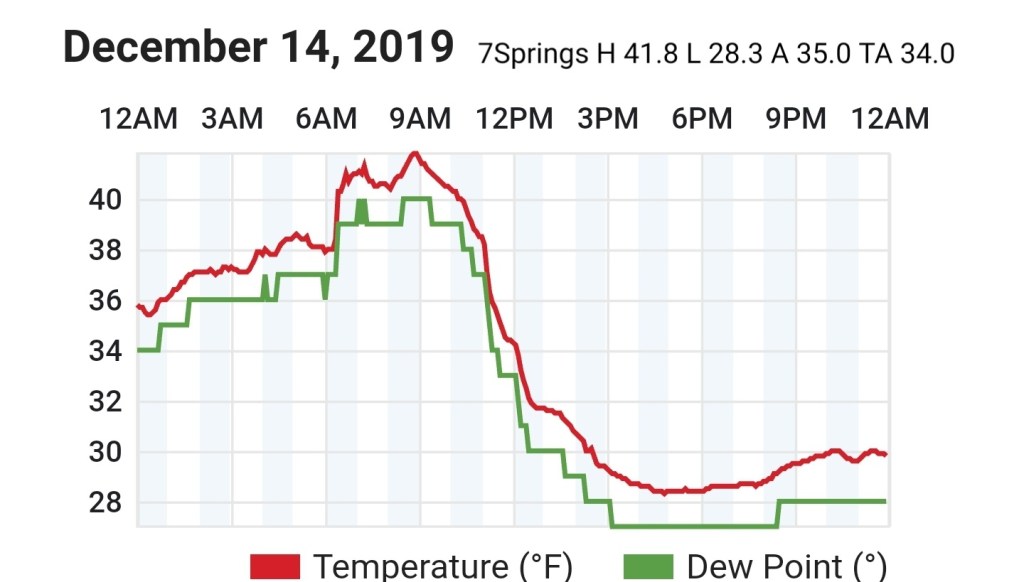
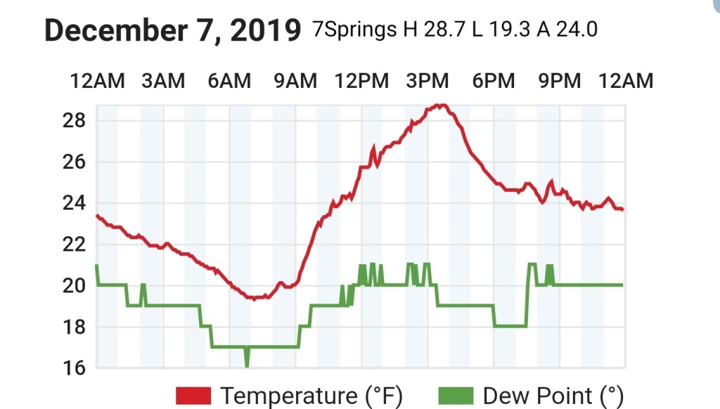
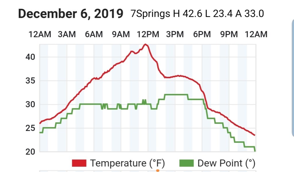
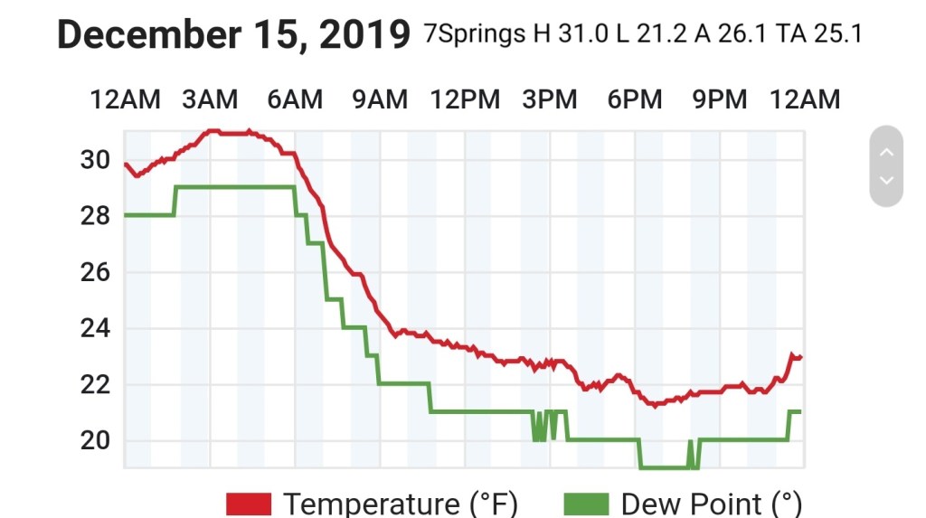
7Springs
MIN[21.2]—MAX[31.0]—AVERAGE MEAN[26.1]—TRUE AVERAGE[25.1]
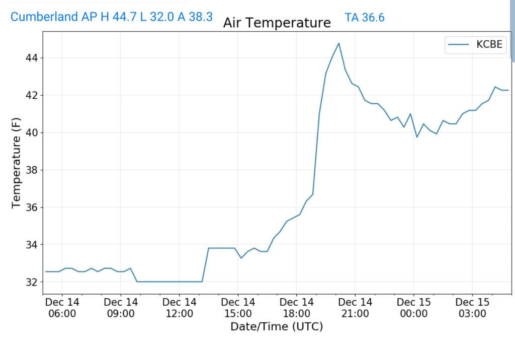
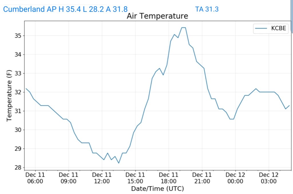
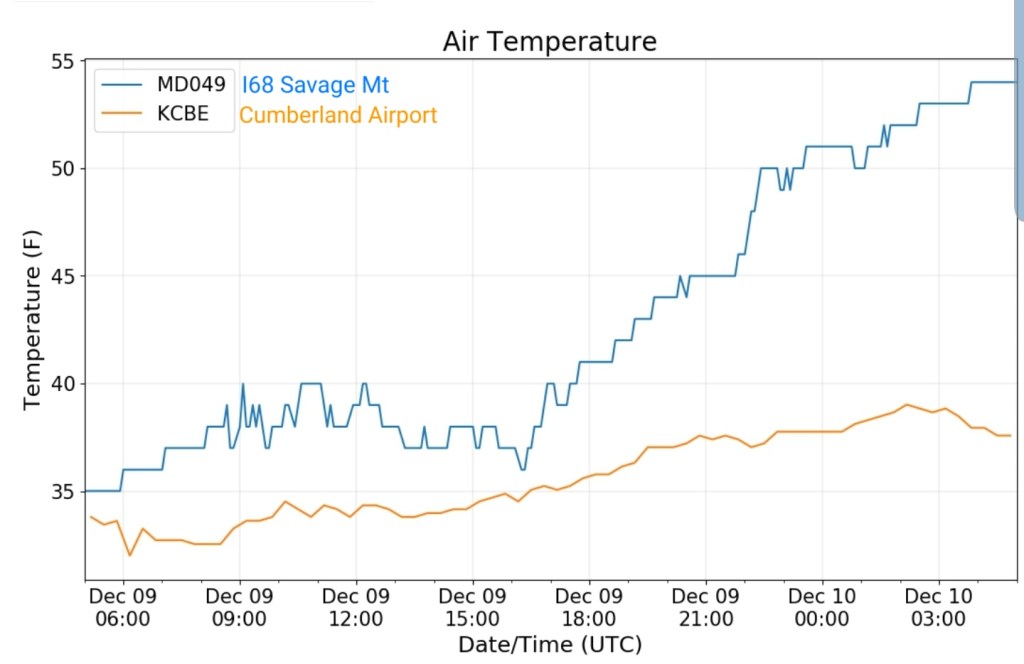
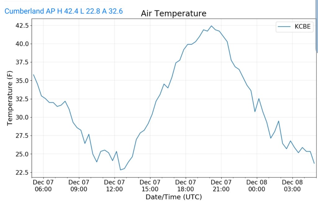
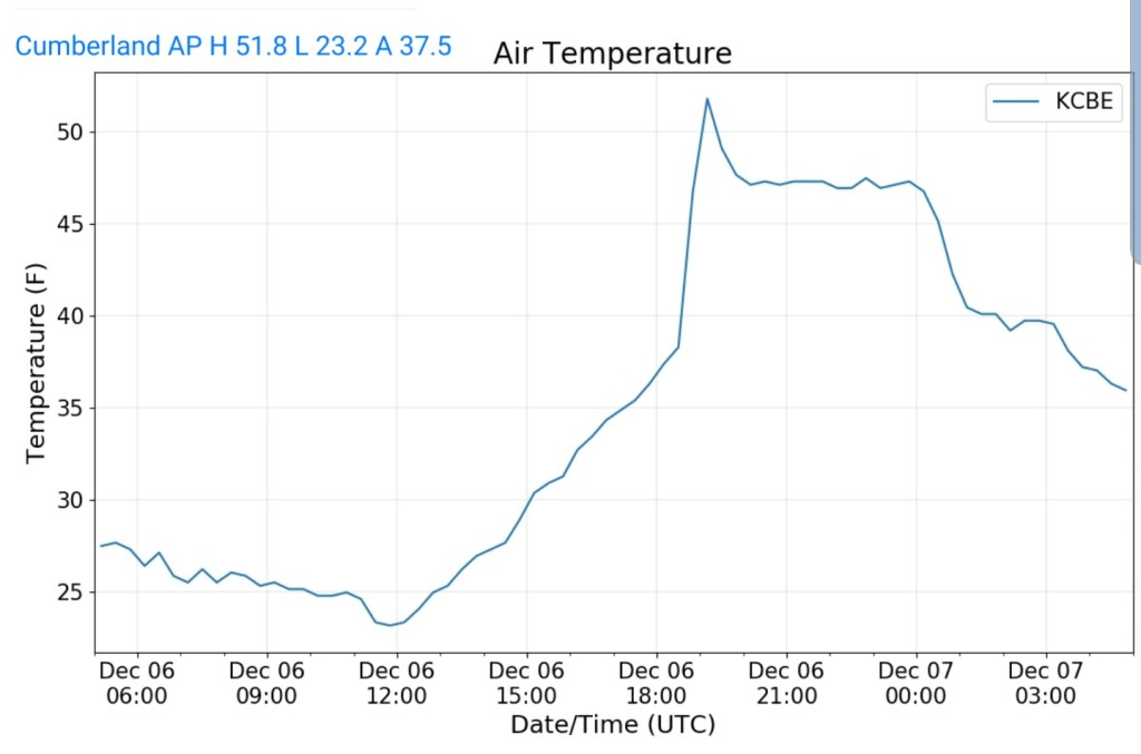
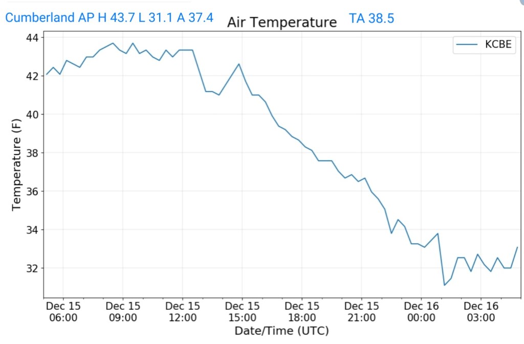
Cumberland Airport
MIN[31.1]—MAX[43.7]—AVERAGE MEAN[37.4]—TRUE AVERAGE[38.5]
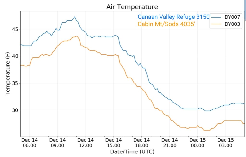
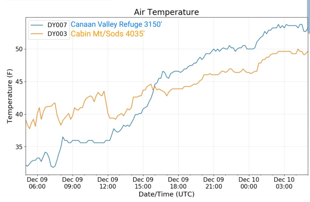
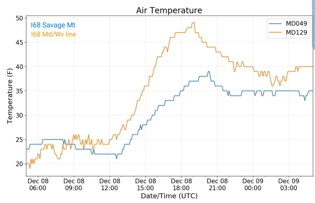
The Valley vs Cabin Mt

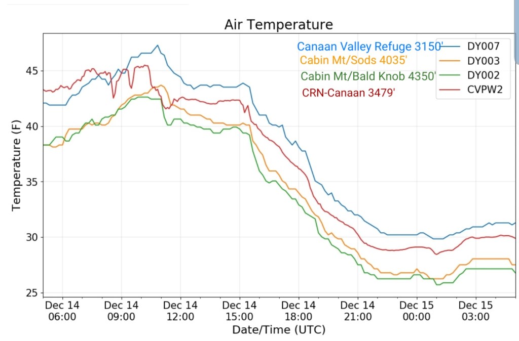
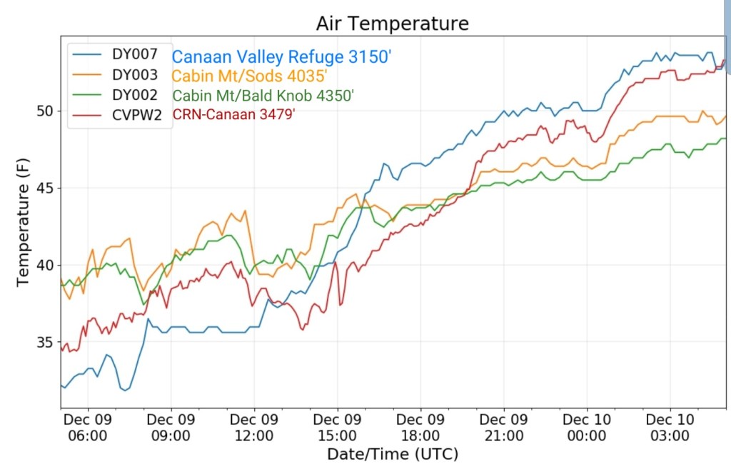
Canaan area temps
Comparison view

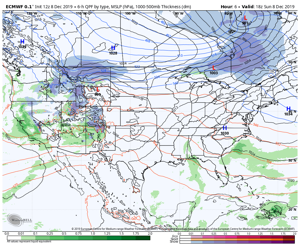
RTMA
Radar
Satellite
Flow
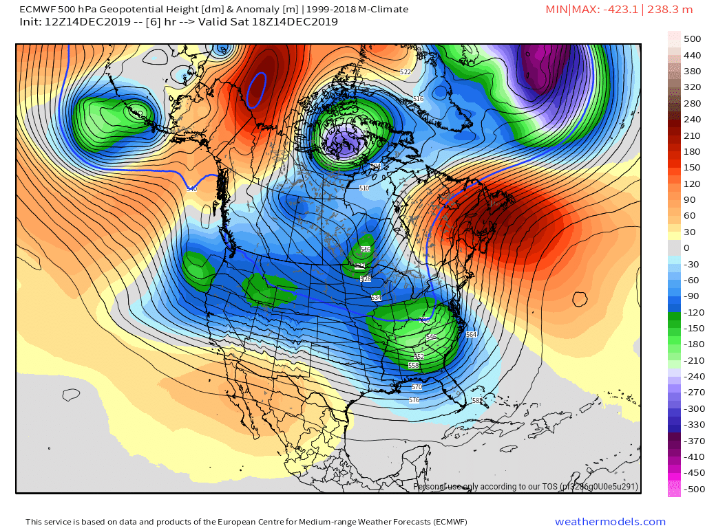
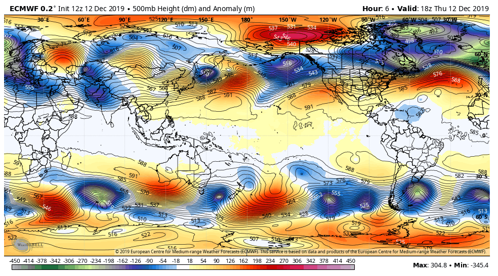
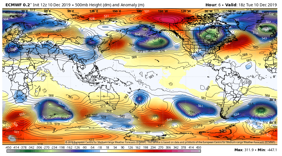
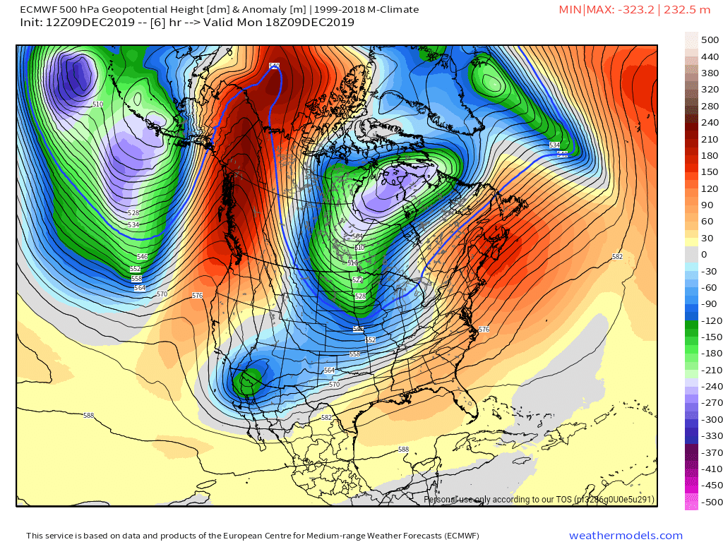
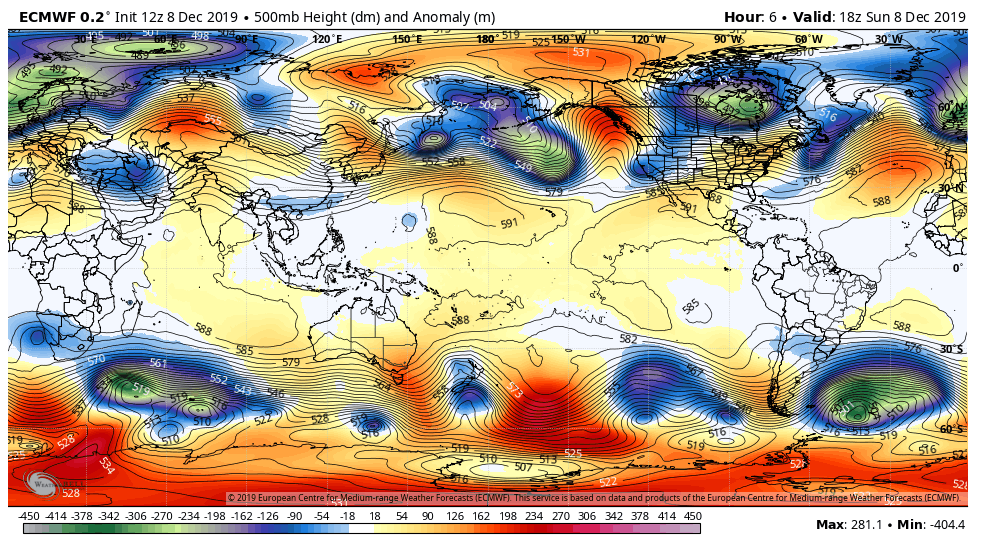
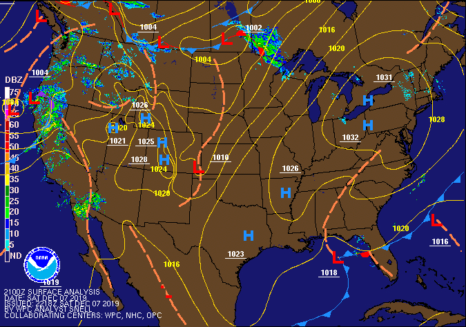
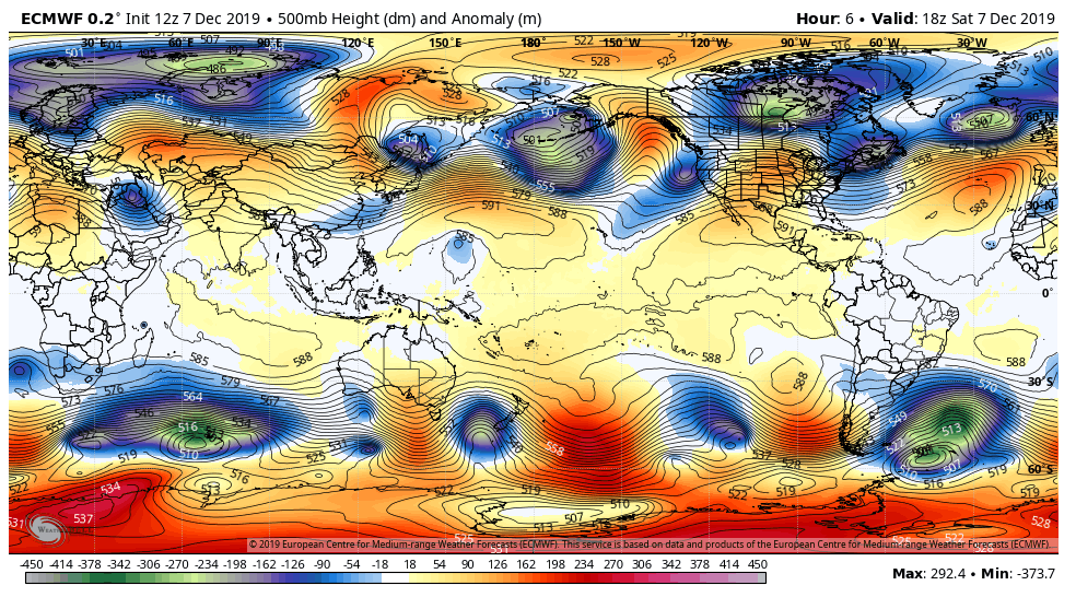
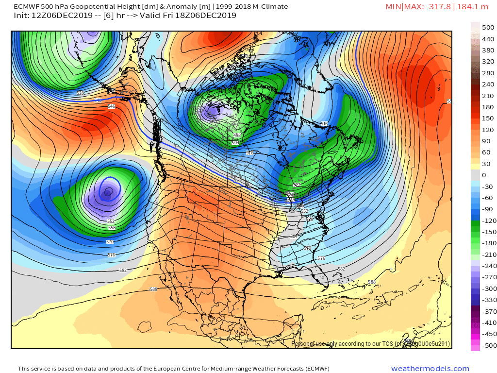
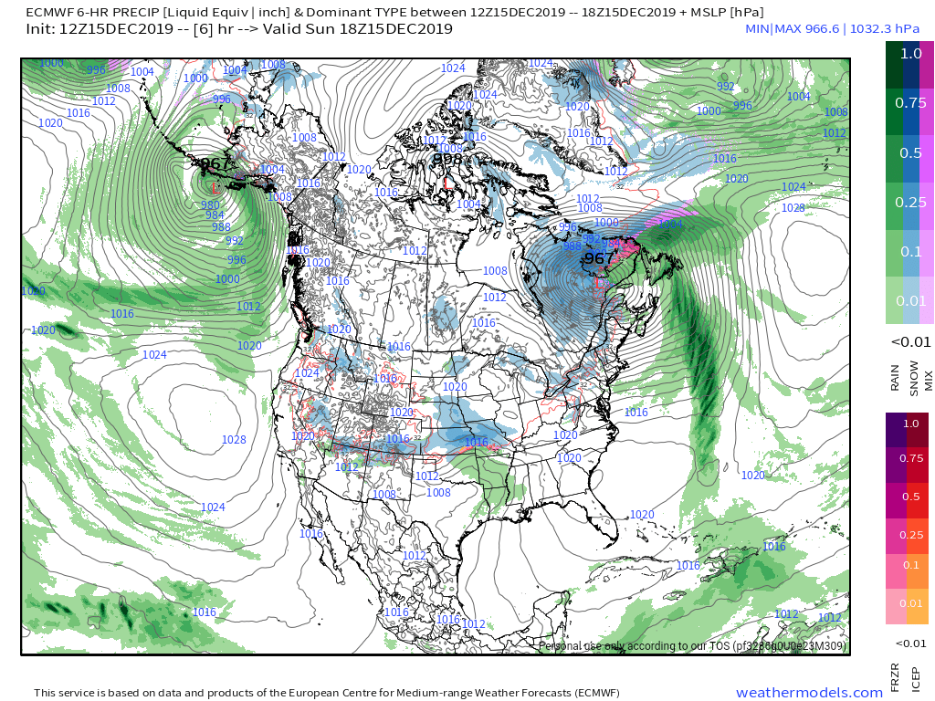
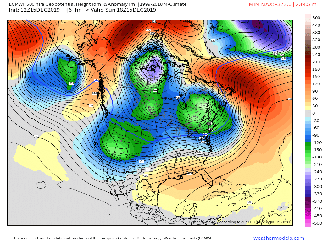
Surface features and 500mb height anomalies and flow
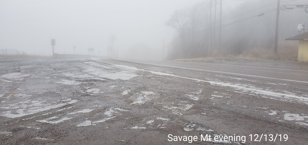
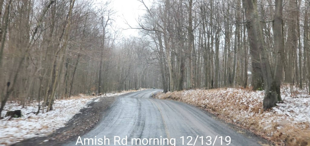
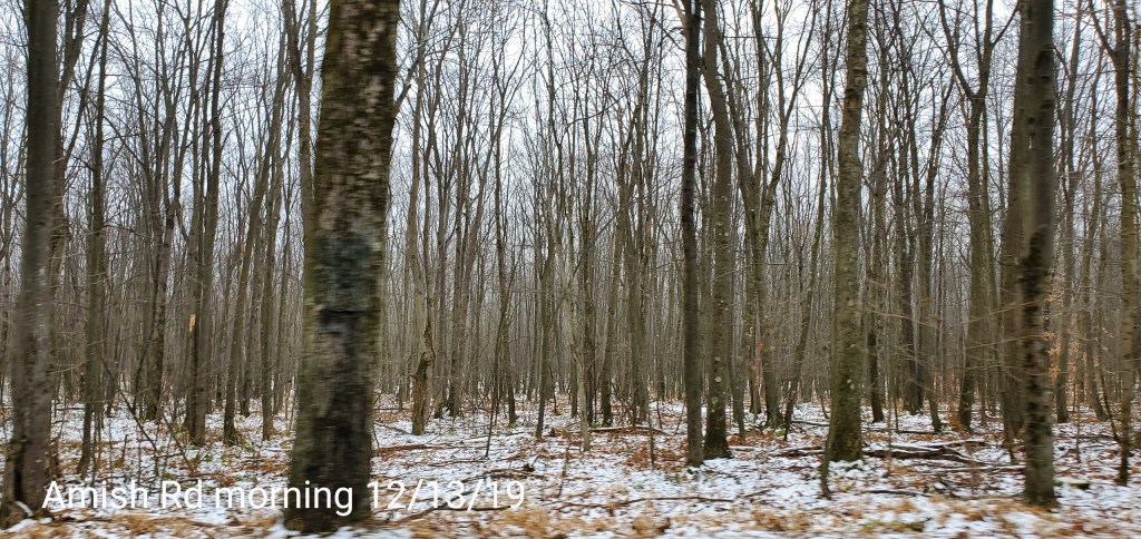
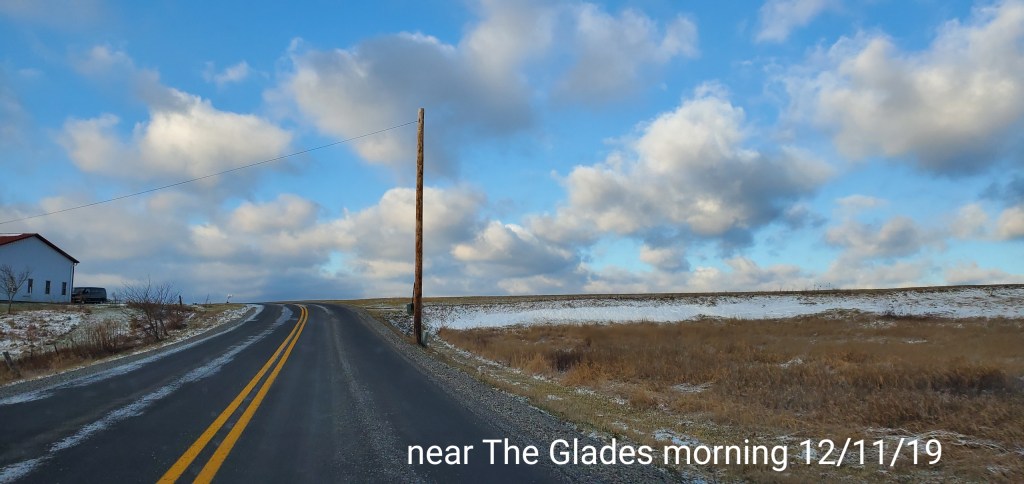
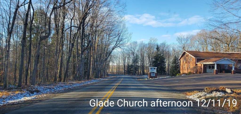
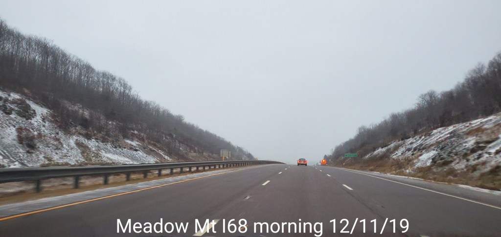
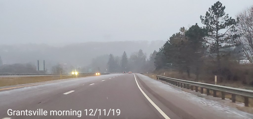
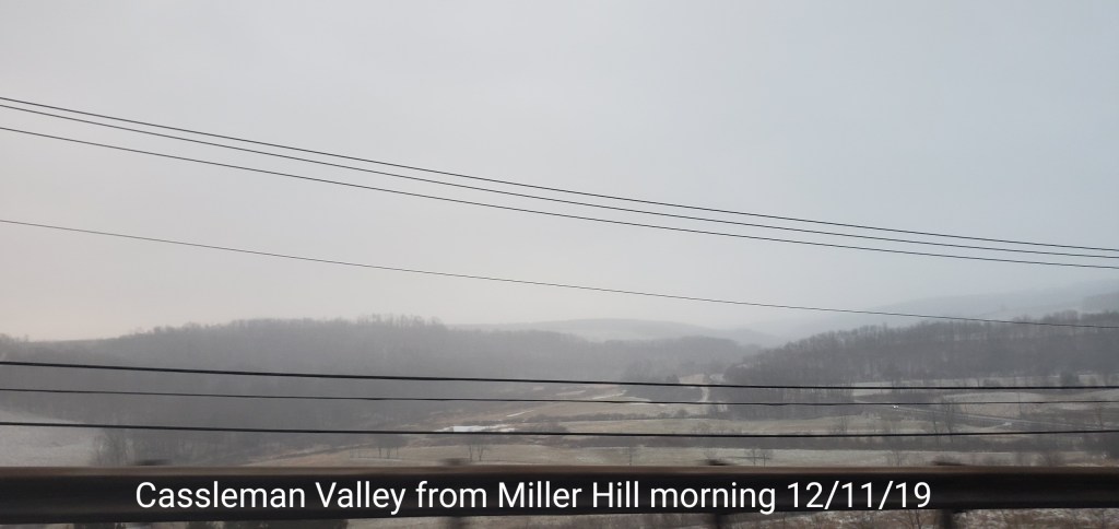
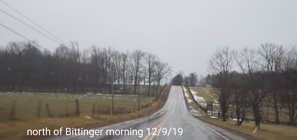
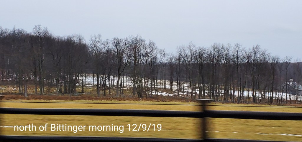
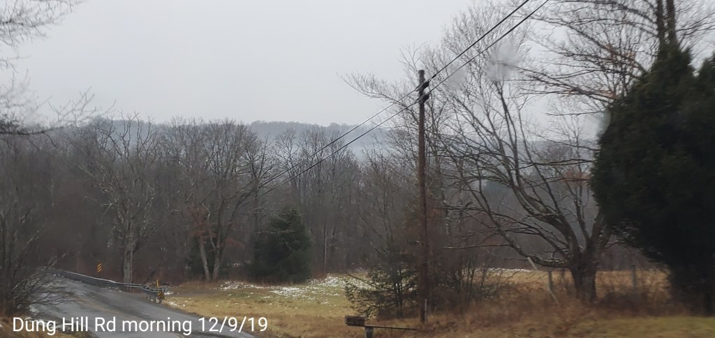
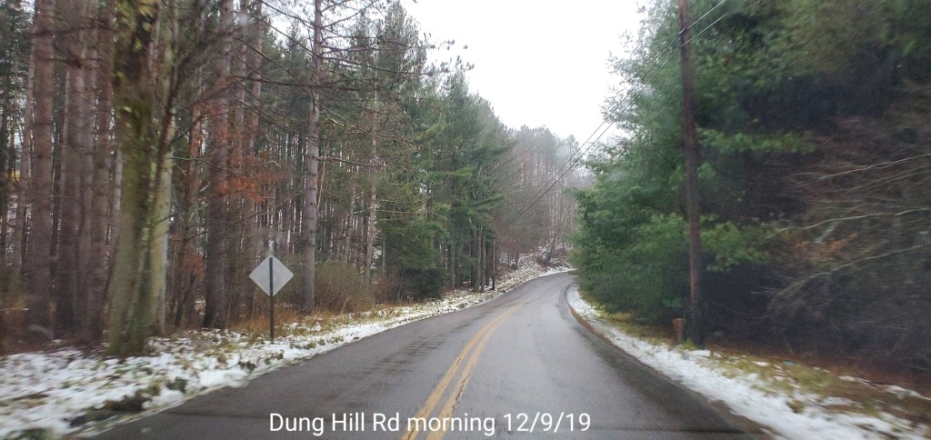
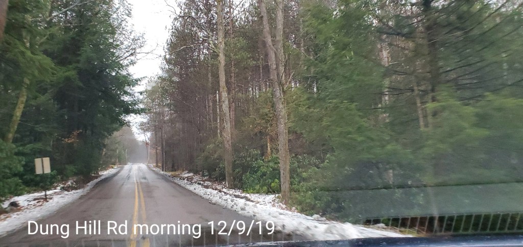
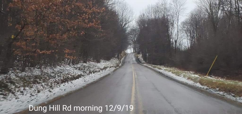
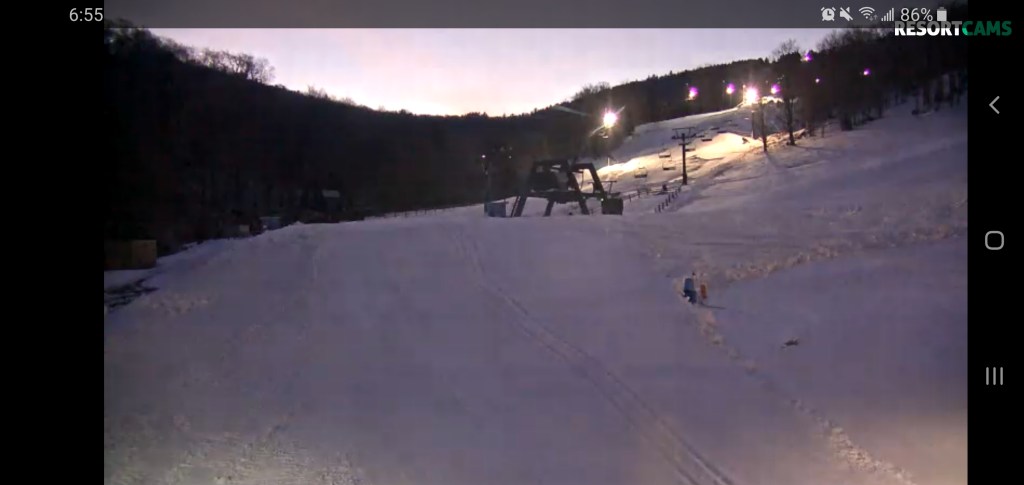
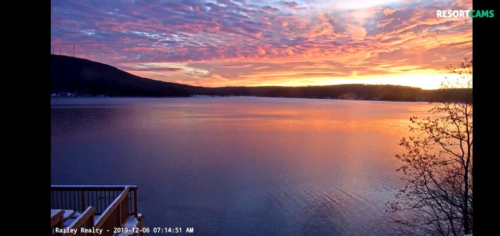
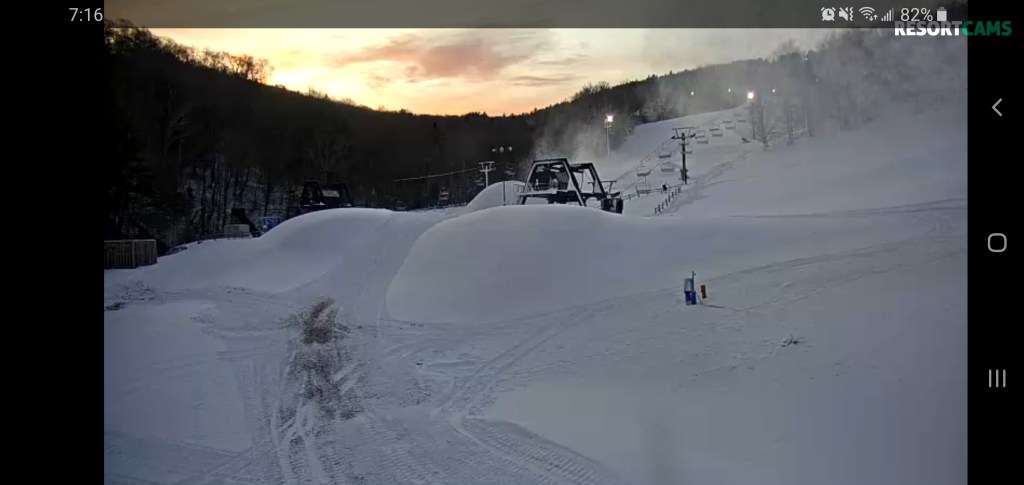
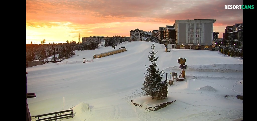
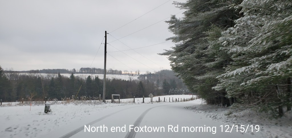
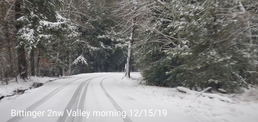
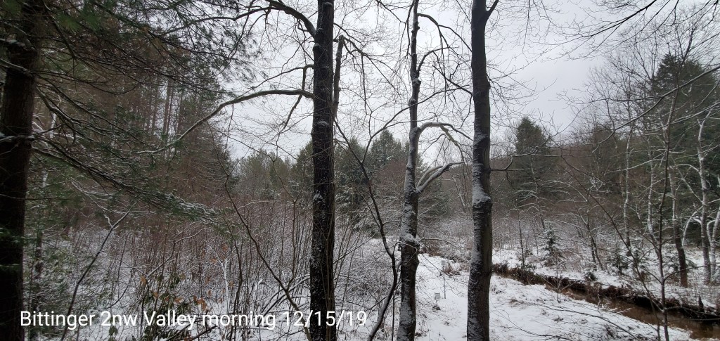
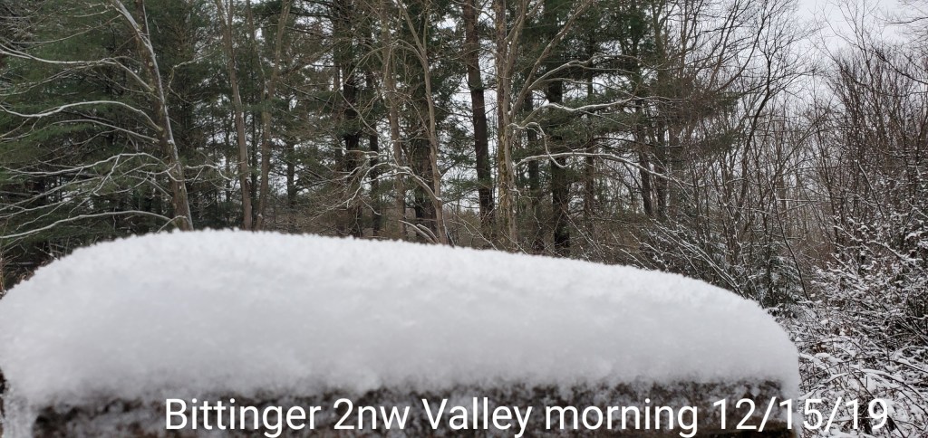
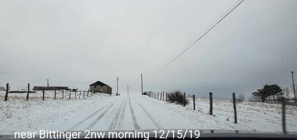
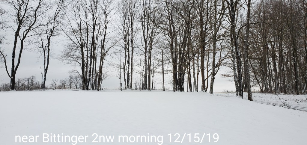
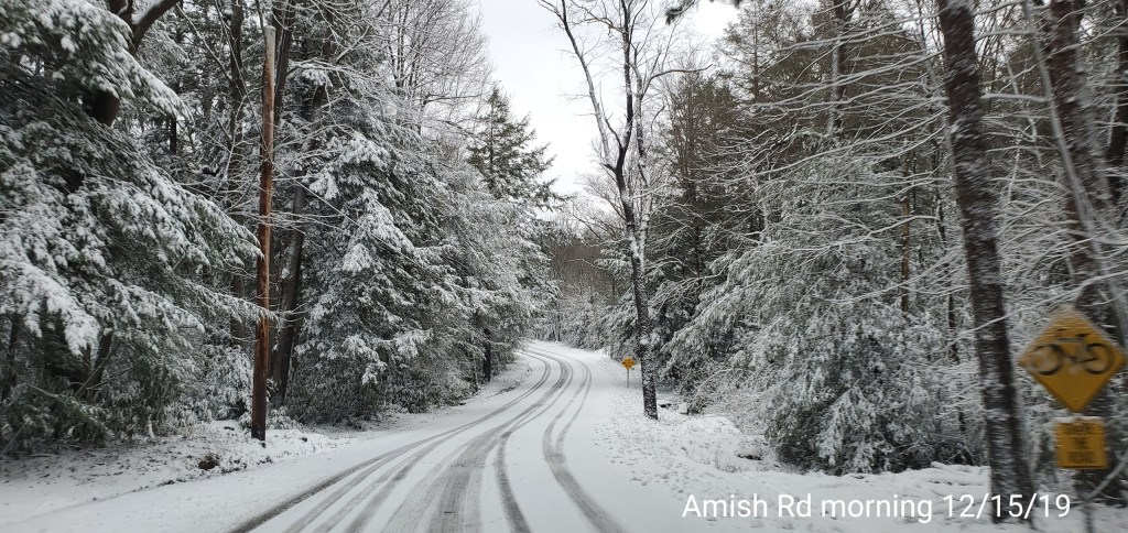
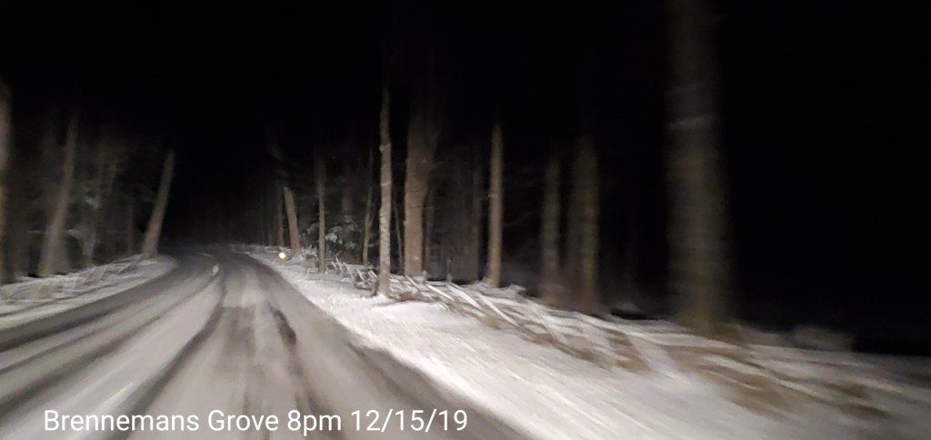
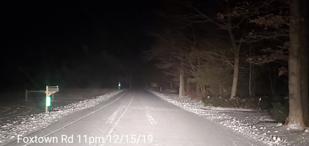
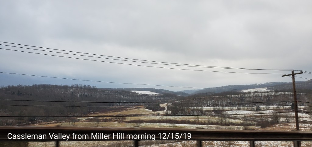
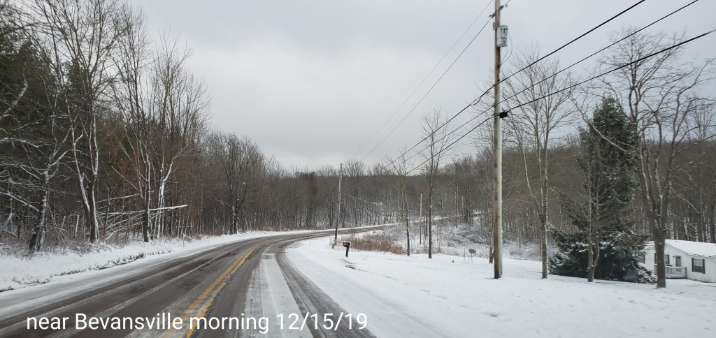
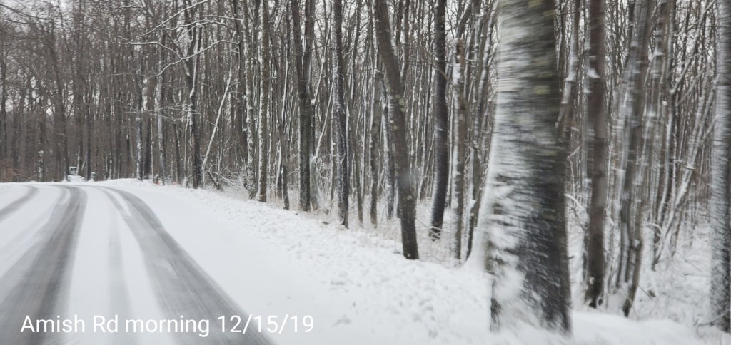
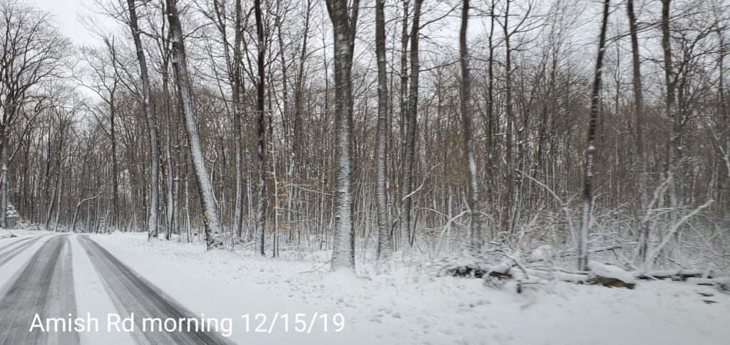
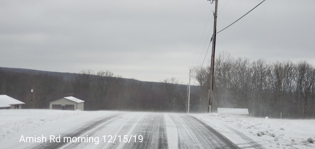
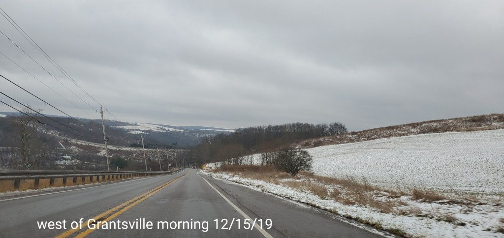
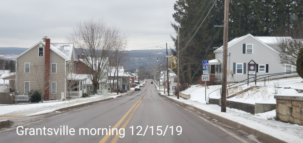
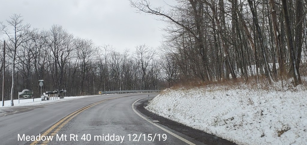
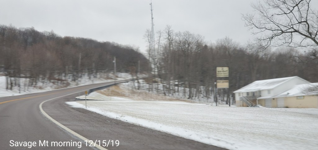
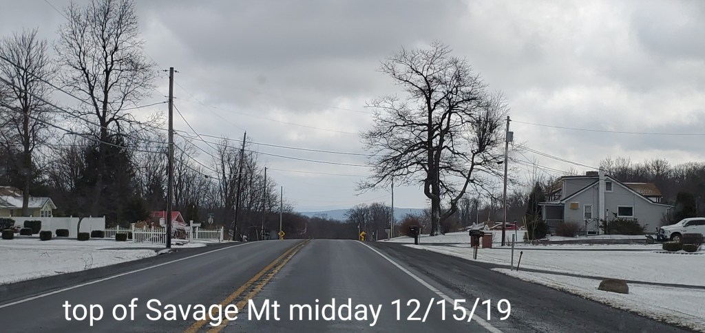
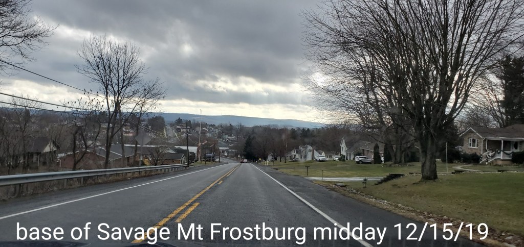
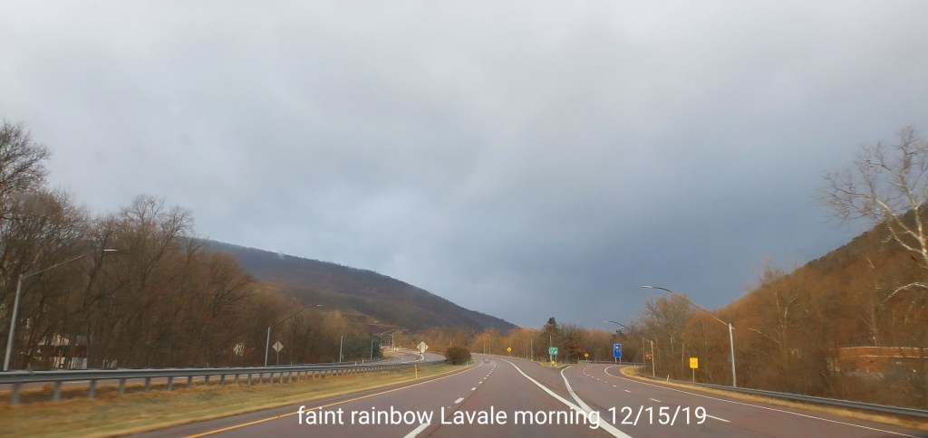
Pics today-
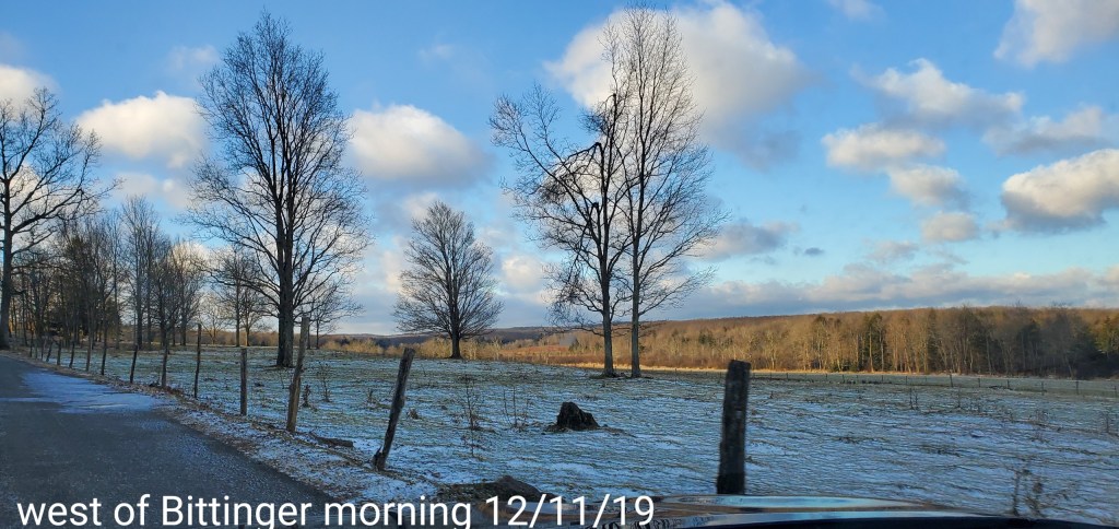
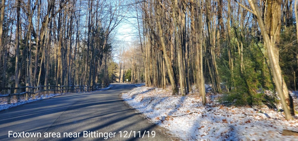
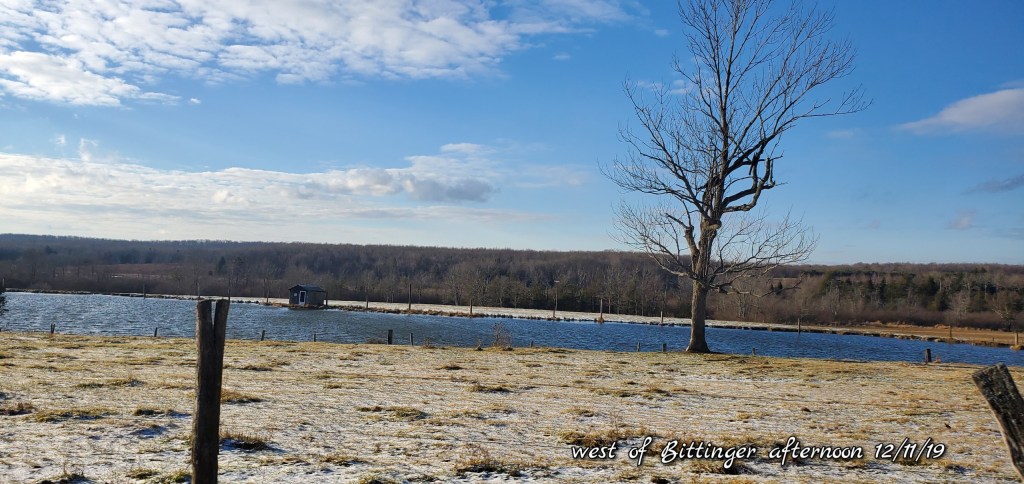
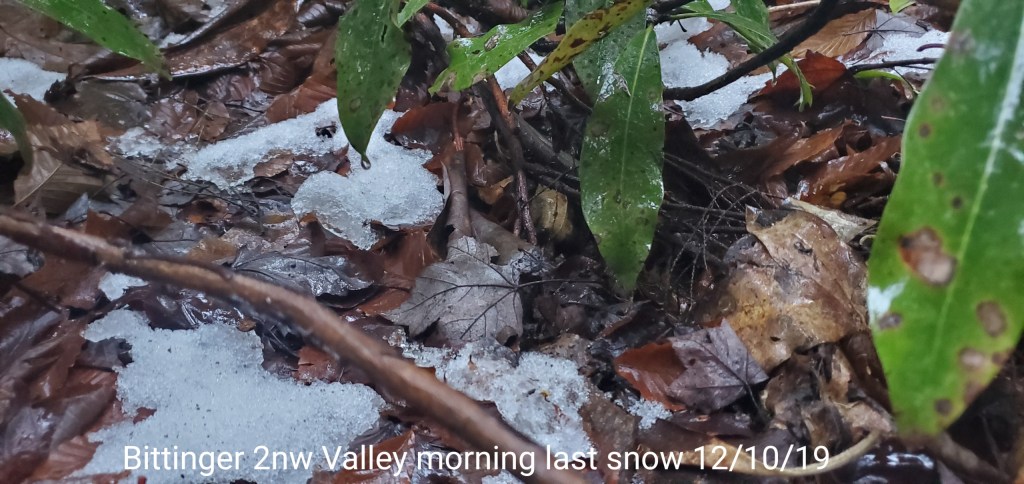
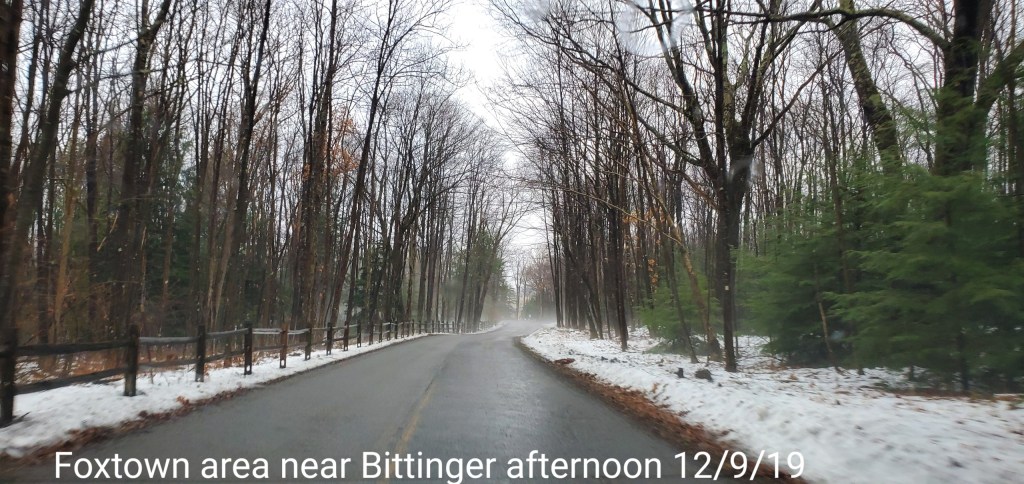
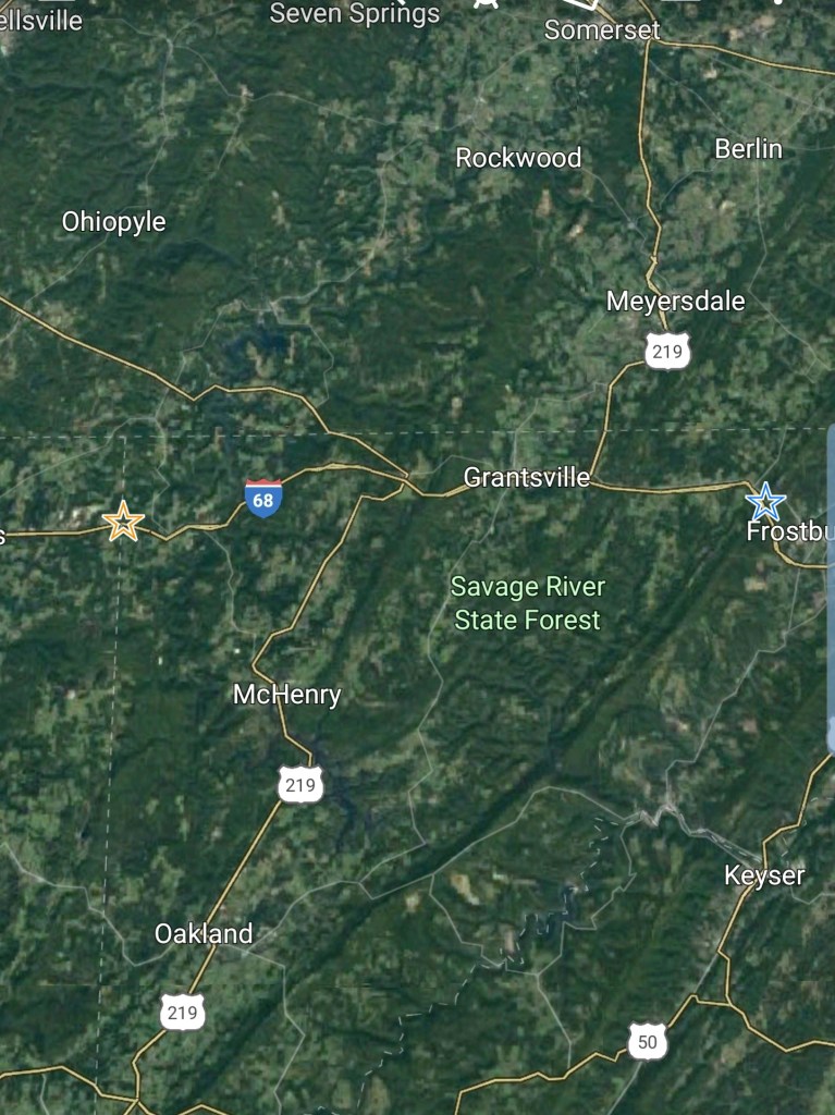
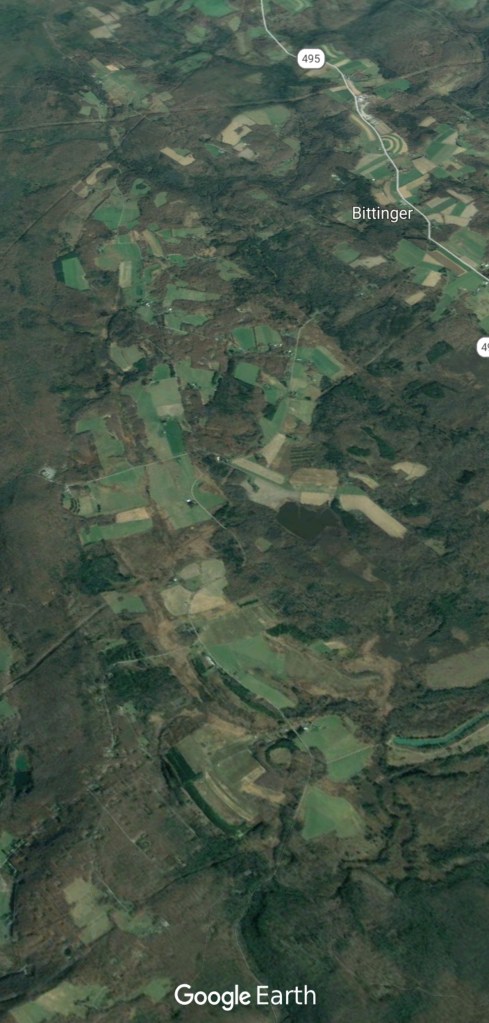
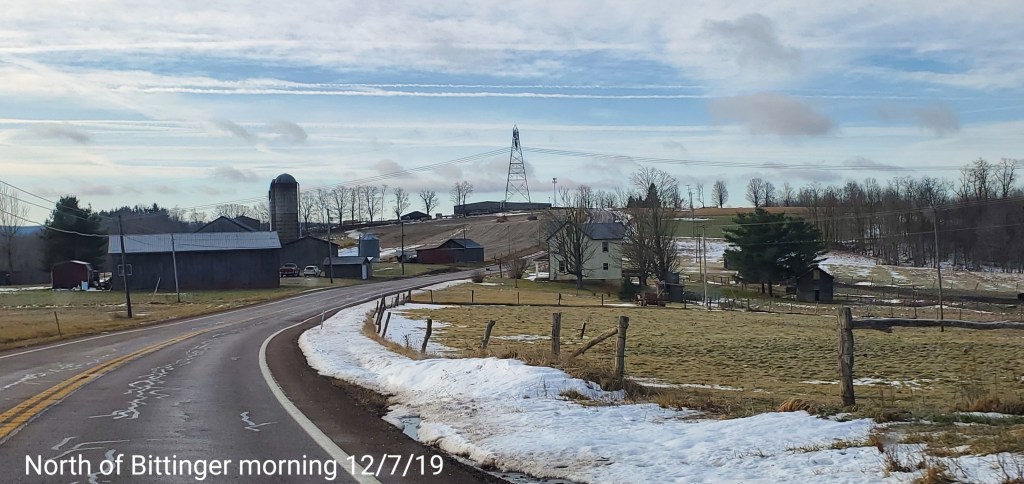
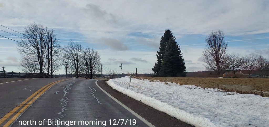
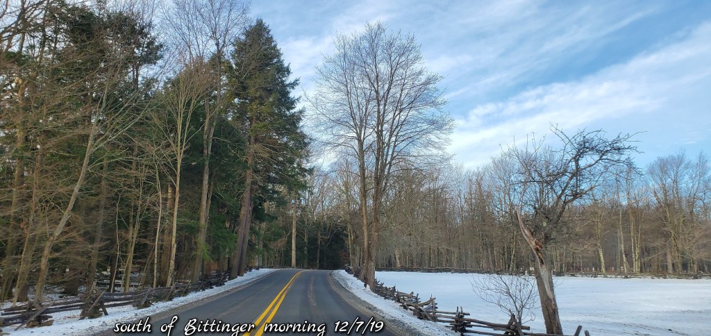
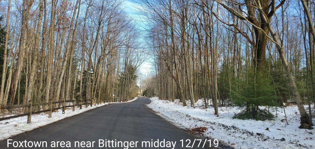
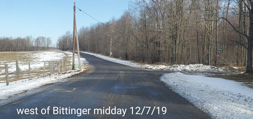
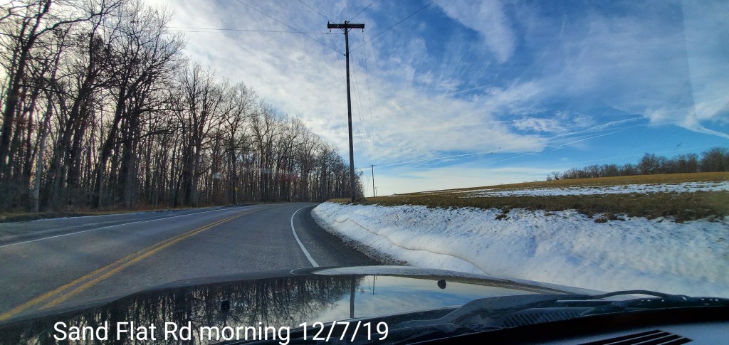
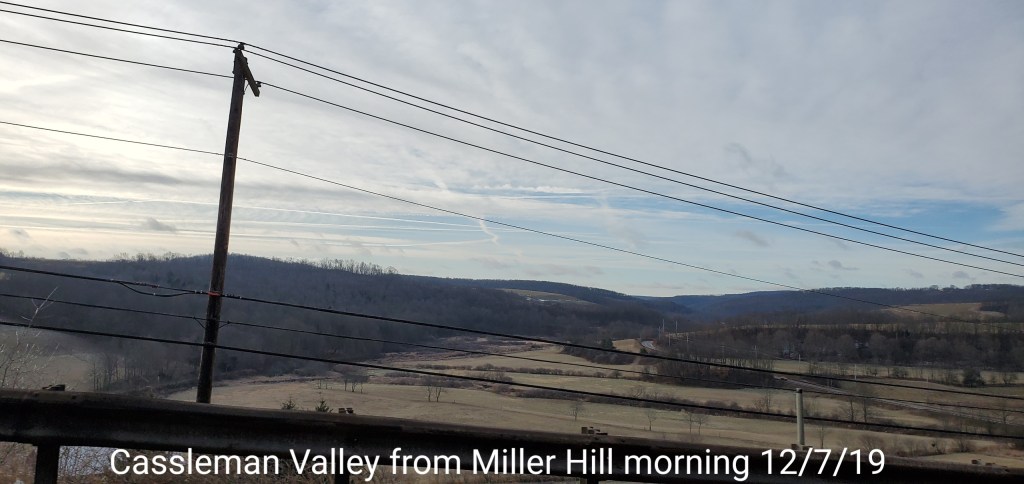
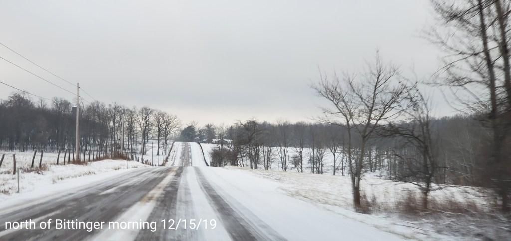
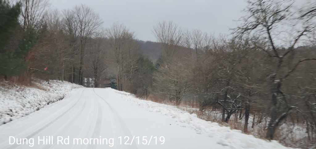
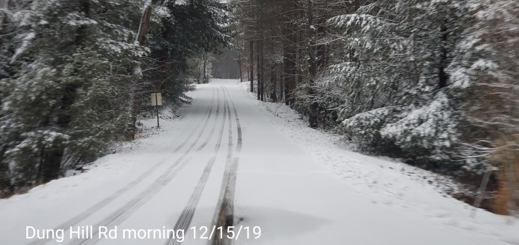
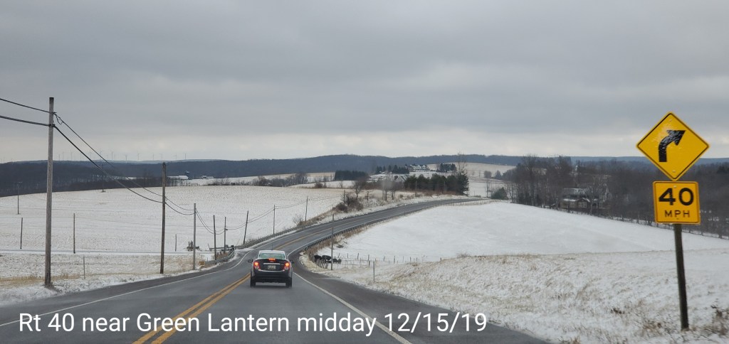
Bittinger area

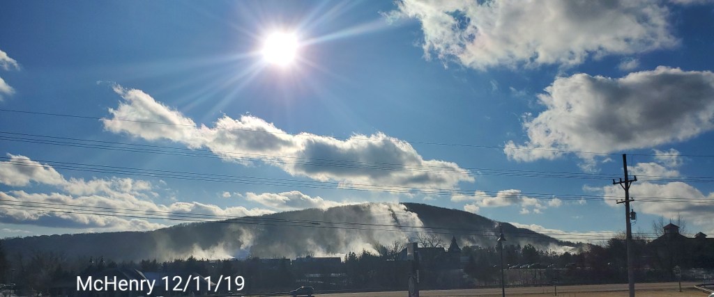
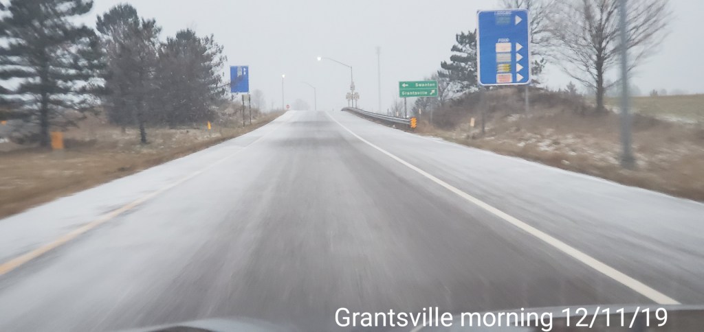
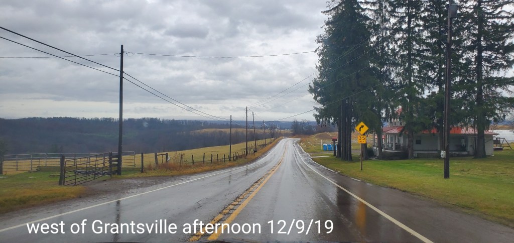
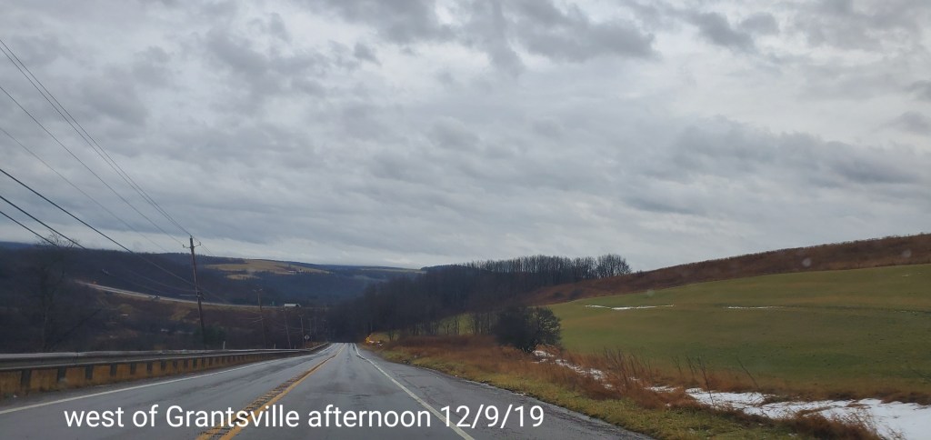
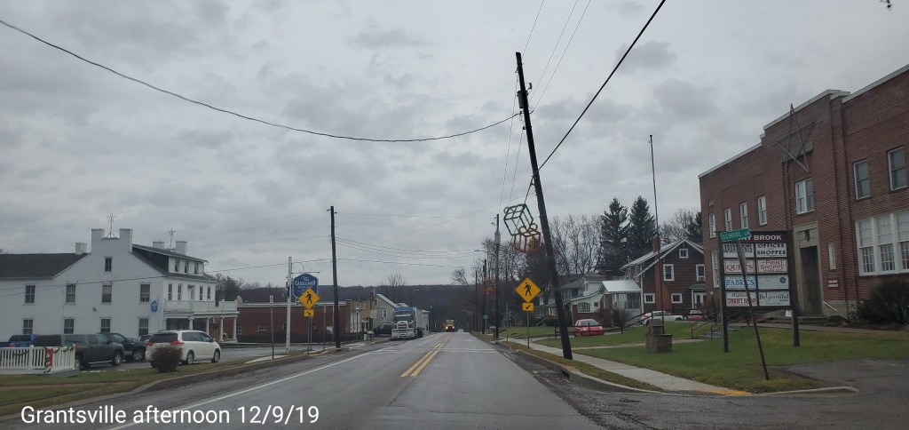
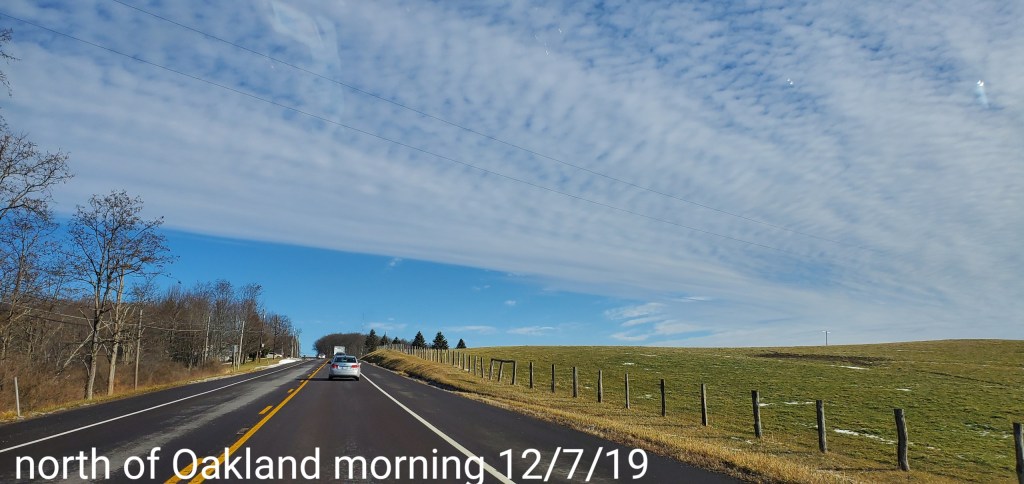
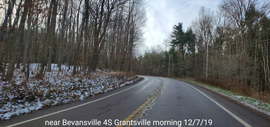
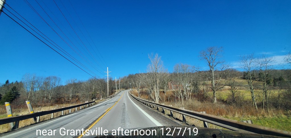
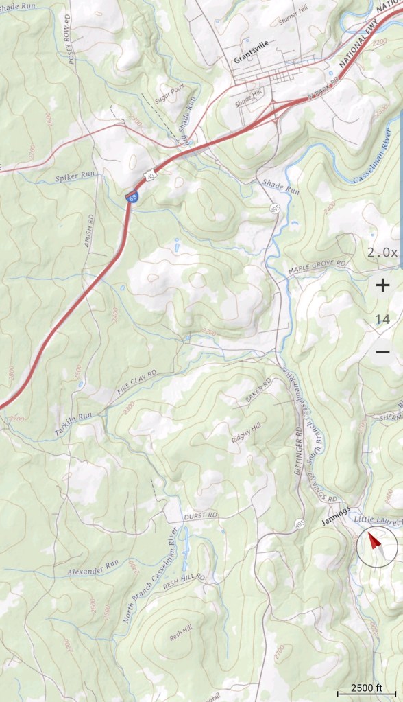
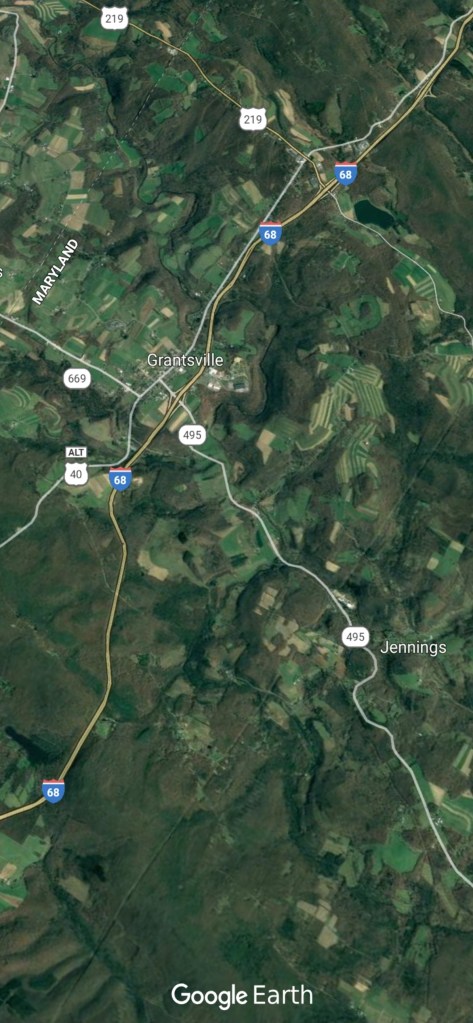
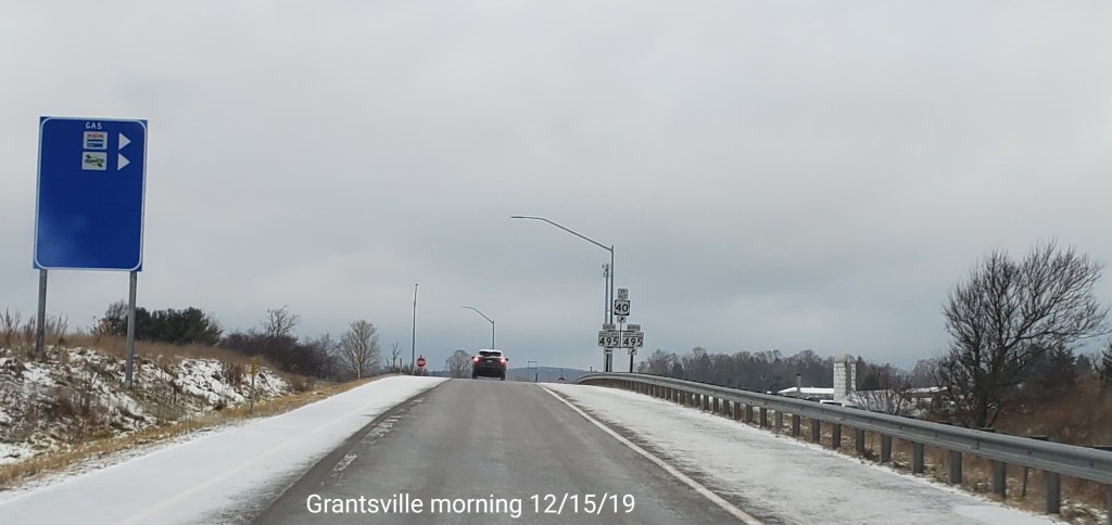
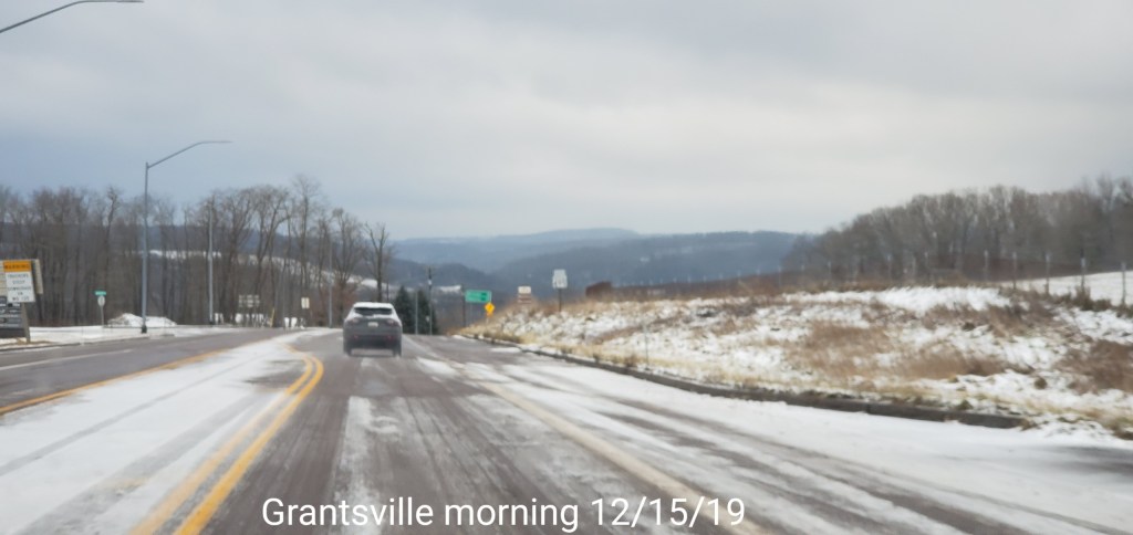
Grantsville area
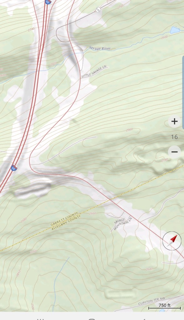
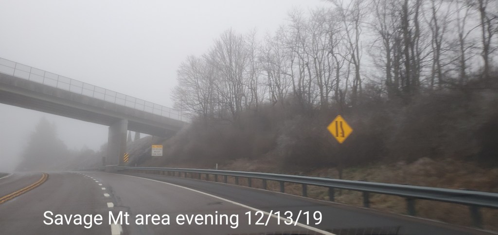
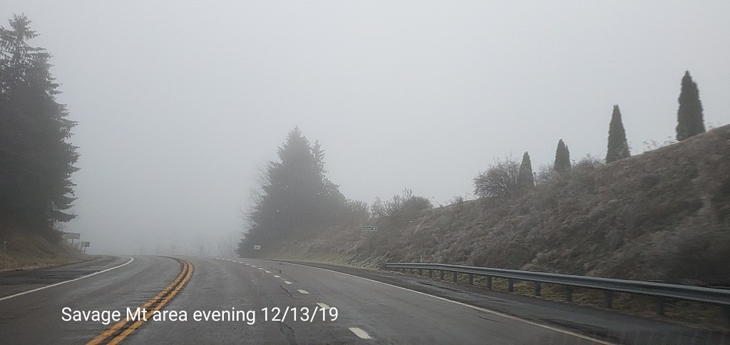
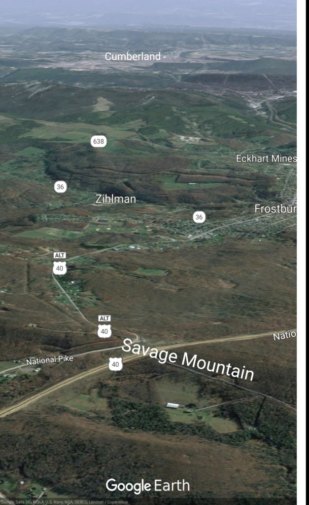
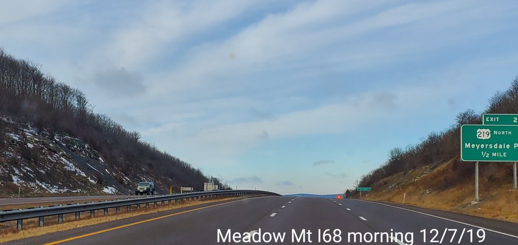
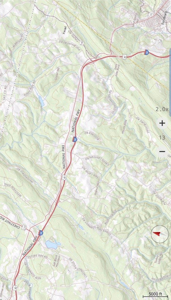
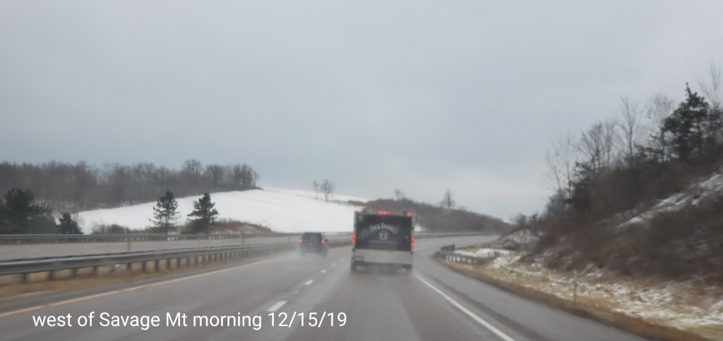
East to Savage Mt


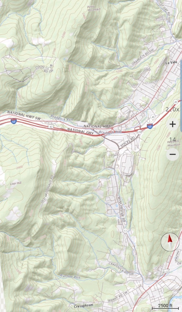
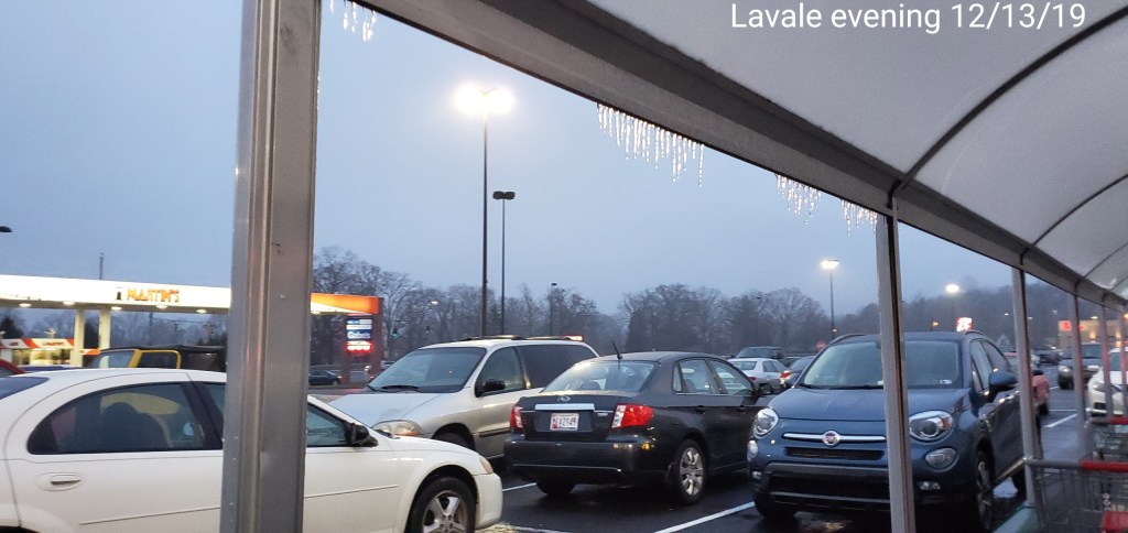
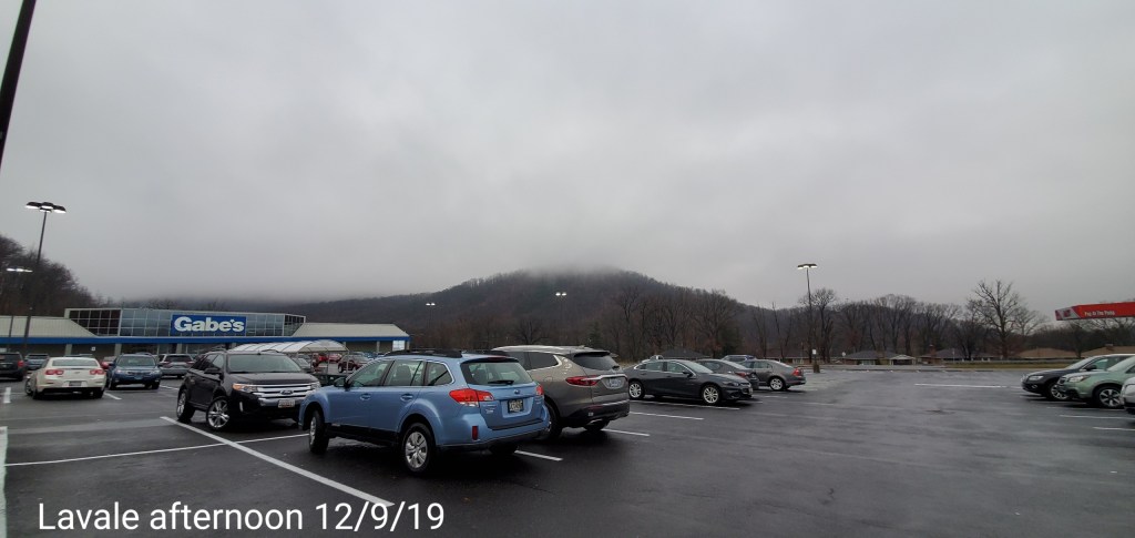
Lavale
Had to post the faint rainbow in Lavale before going up to the snow
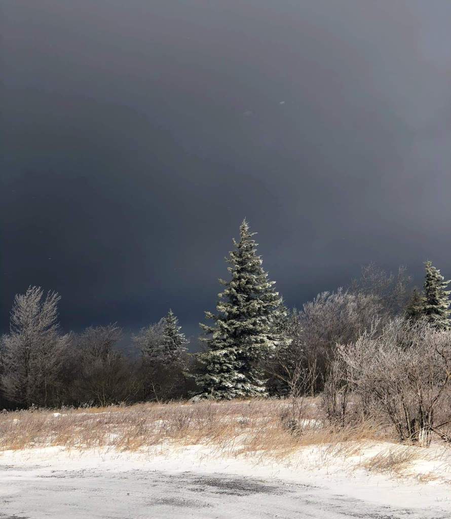
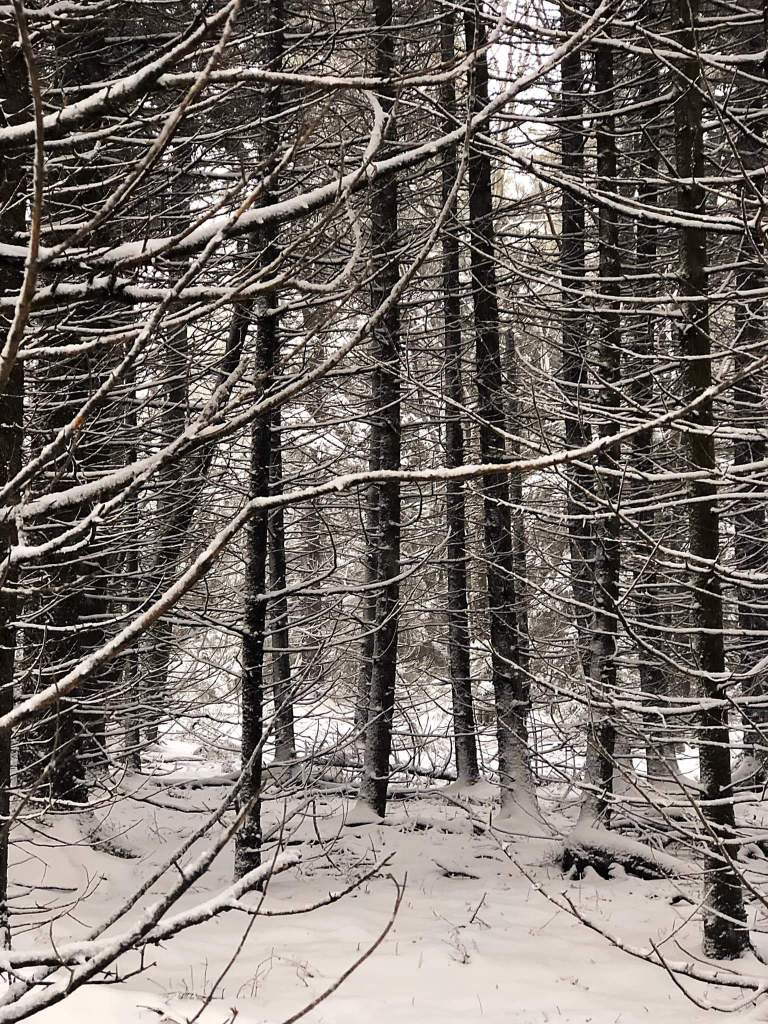
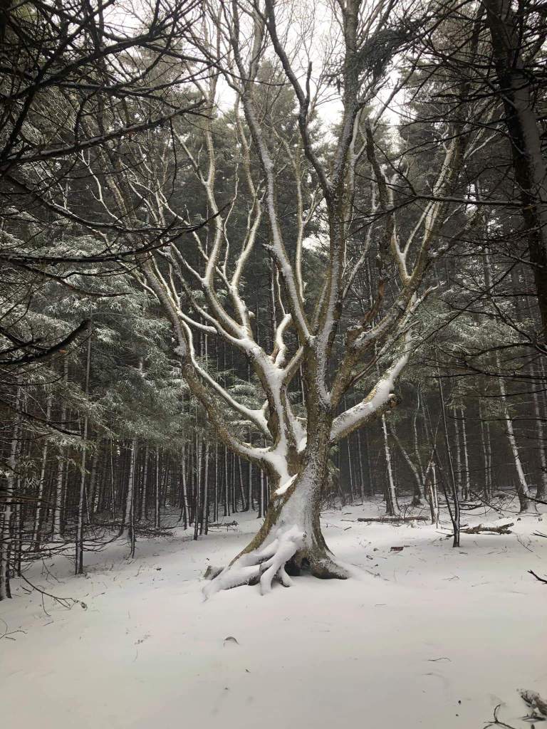
Photos by Ashley Berg at Dolly Sods


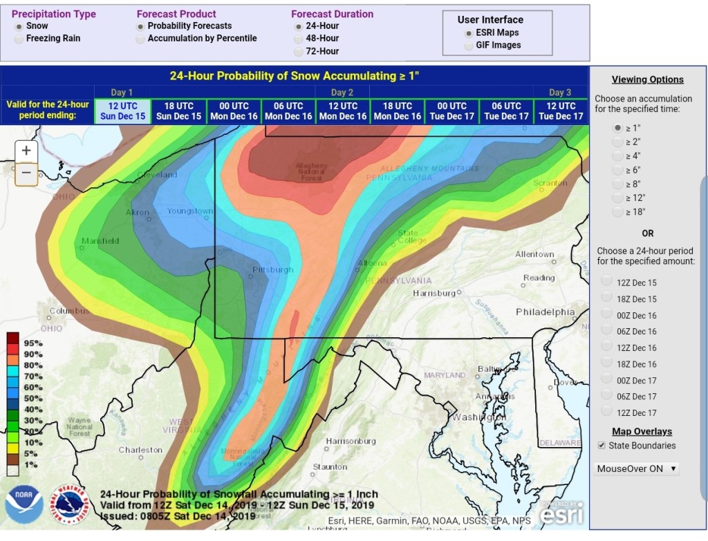
Morning update 9am
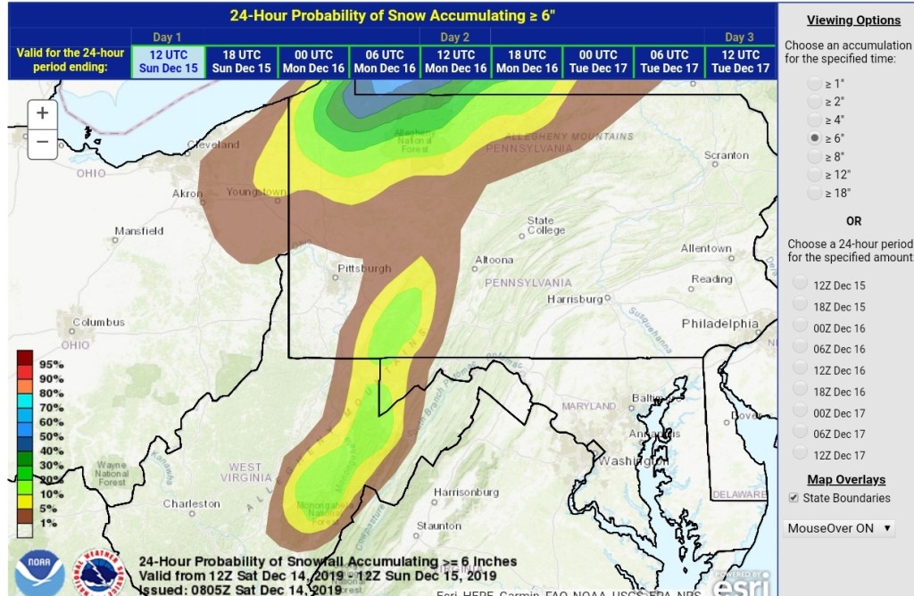
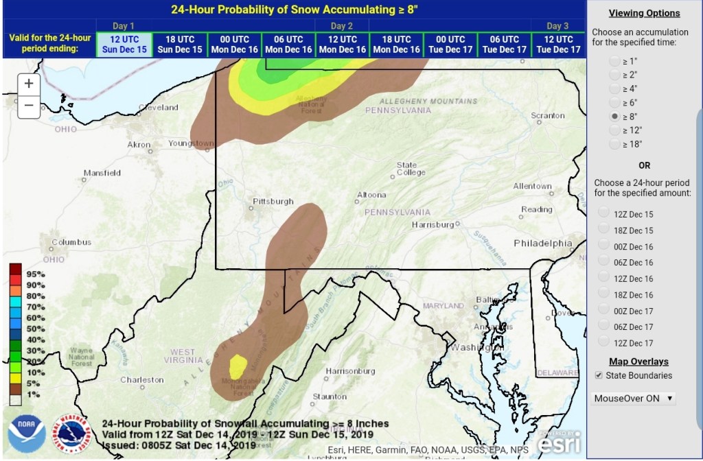
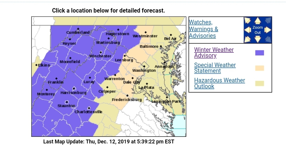
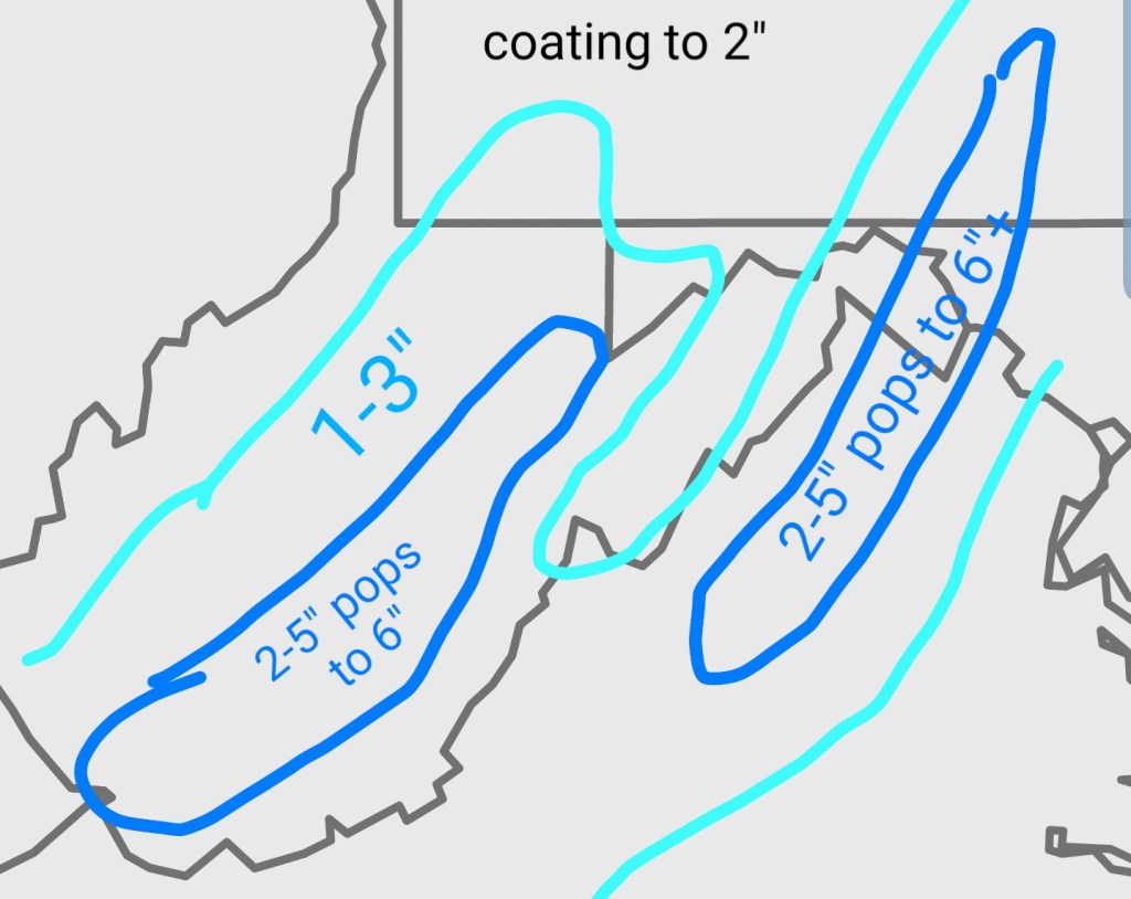
Snow activity in a varied fashion may add an additional 1-2″ as colder air seeps in through the morning. Morning temps hovering near freezing and even above below 2500-2800- in many areas except the Wv high ground in the 20 . The bigger story begins overnight into tomorrow morning.
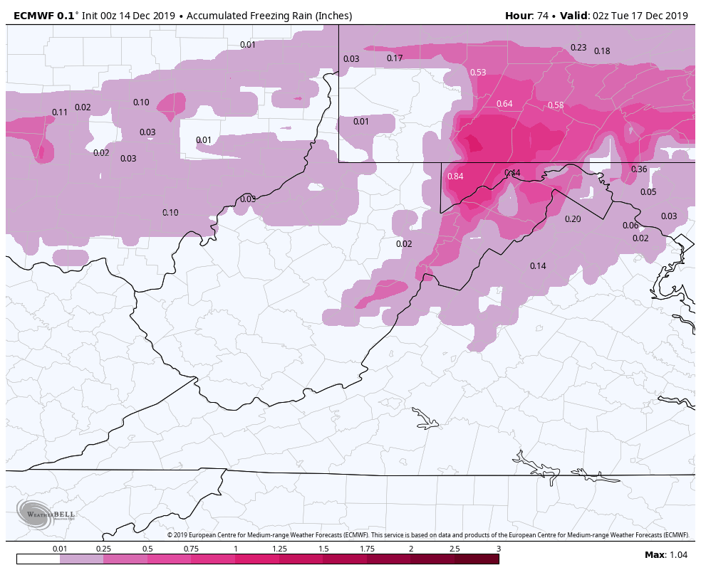
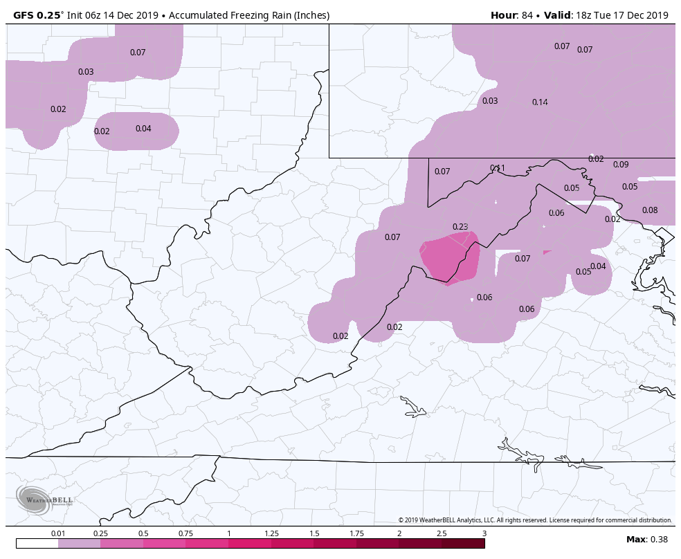
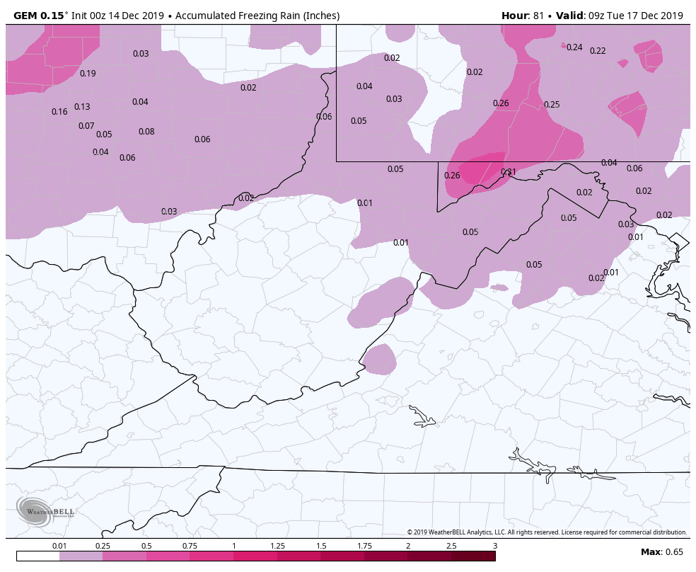
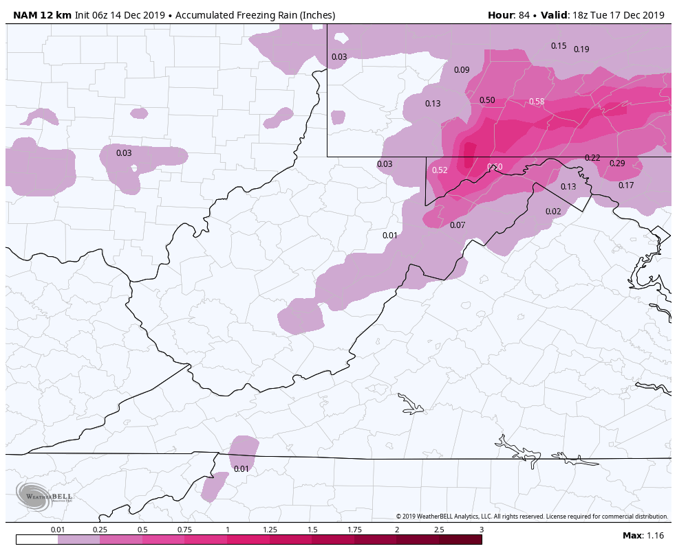
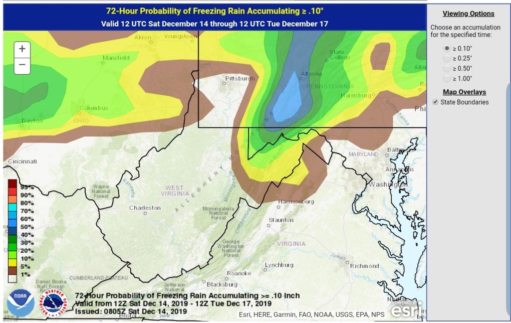
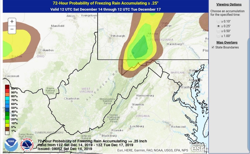
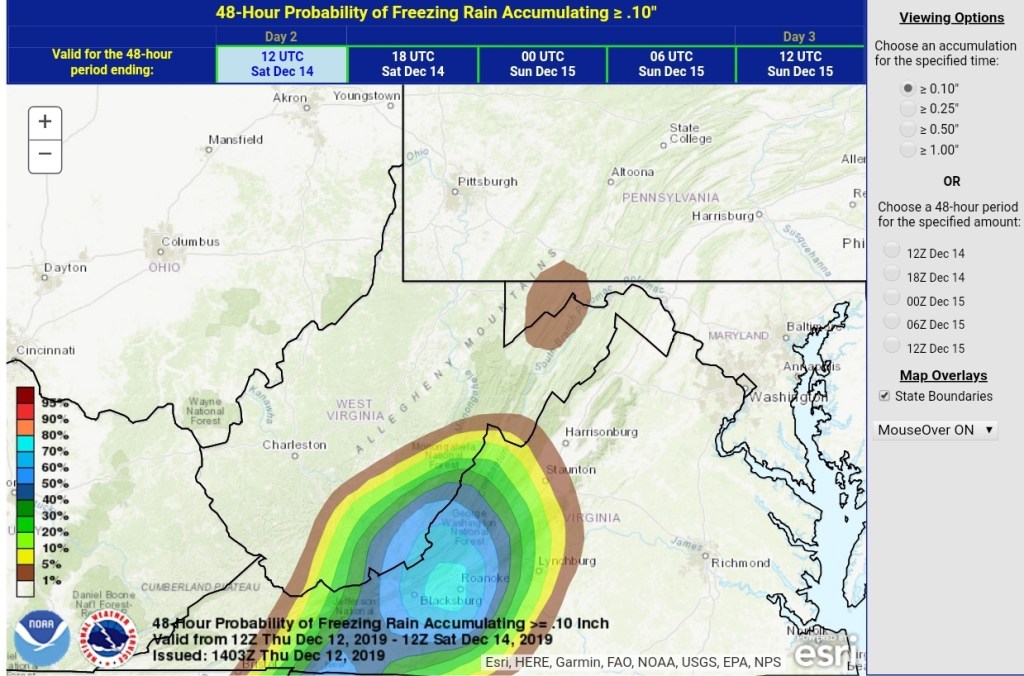
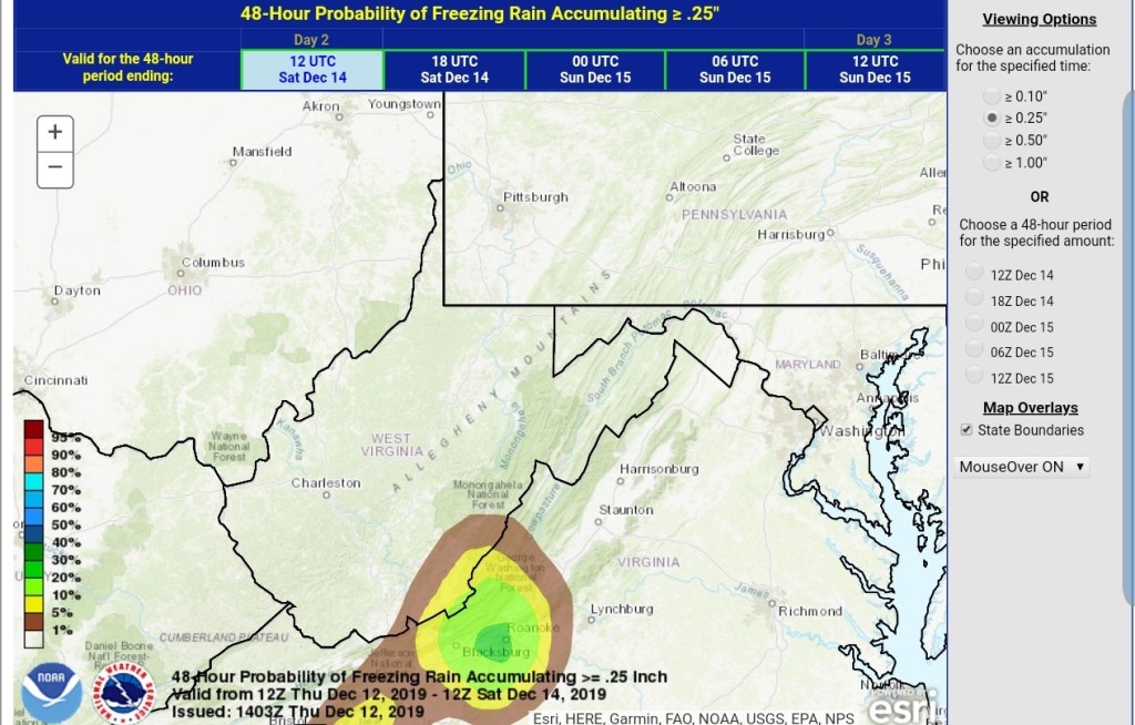
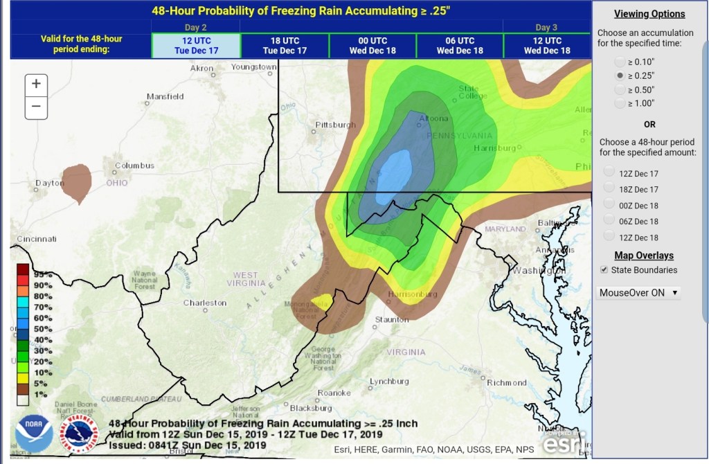
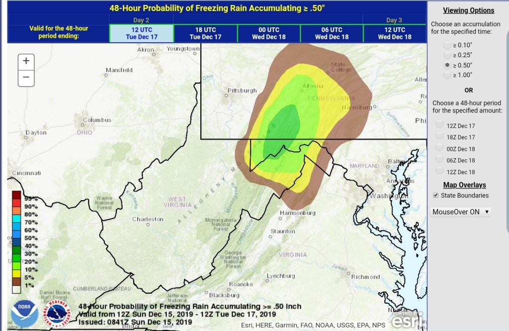
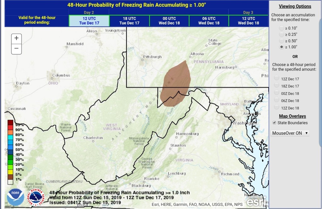
This has a potential to be a power disrupting event in the central and eastern parts of Garrett, north into southern Pa and along the Allegheny Front and east. The cross hairs so to speak look to be eastern Garrett, parts of Allegheny and adjacent areas into Pa and down to Mt. Storm.
It would not at all be surprising if some of these areas never got above freezing with the event and it’s a event that’s moisture loaded. I would suspect the winter weather advisories may change to ice storm warnings in these areas. We shall see.
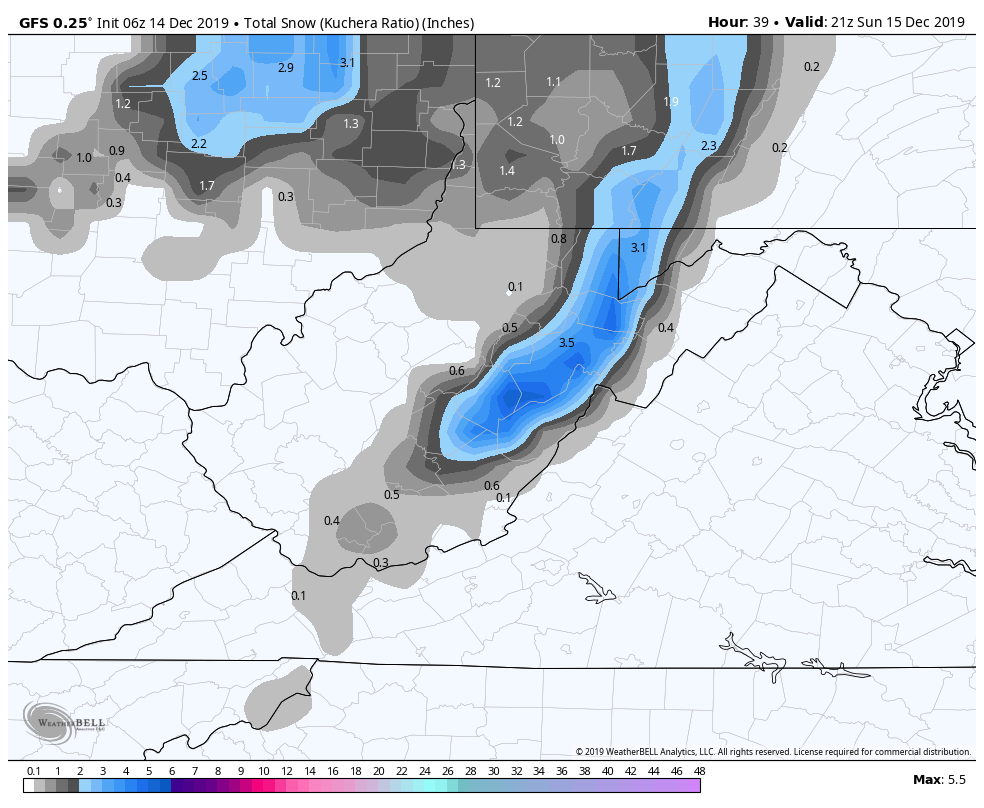
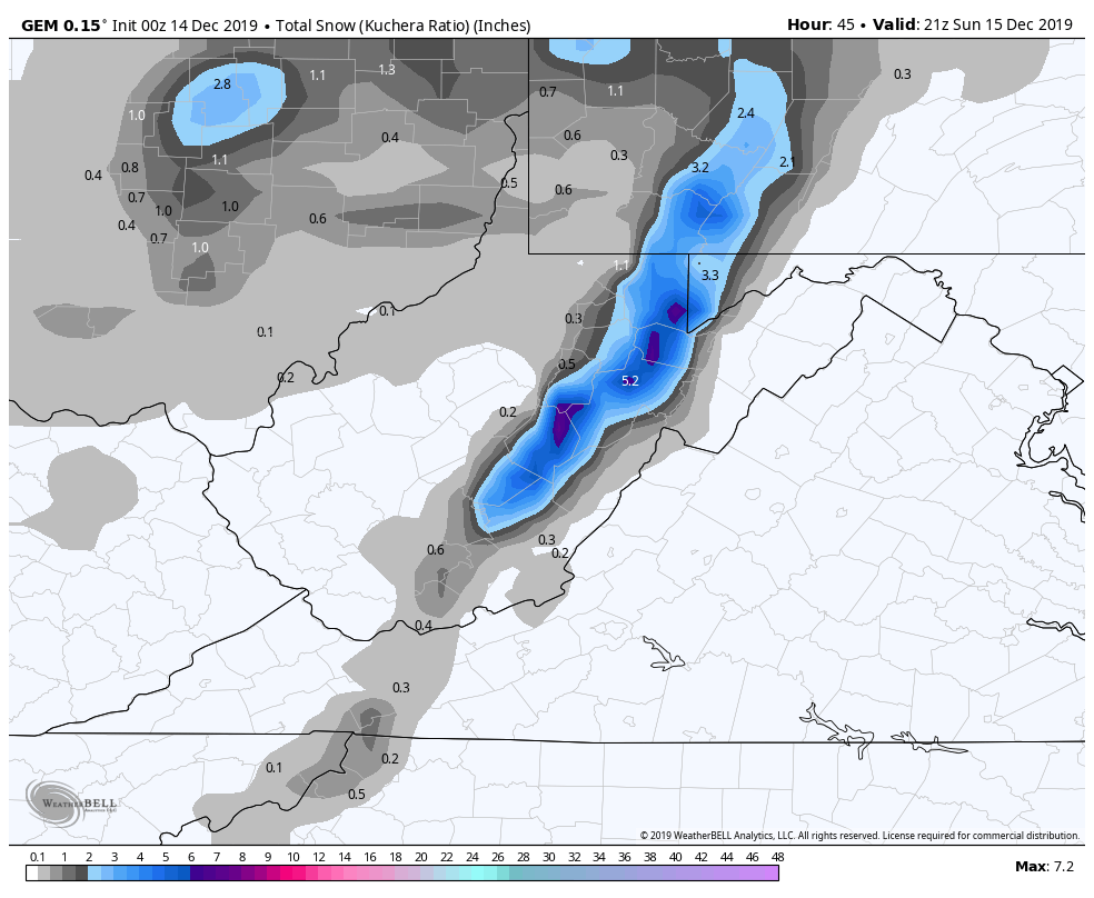
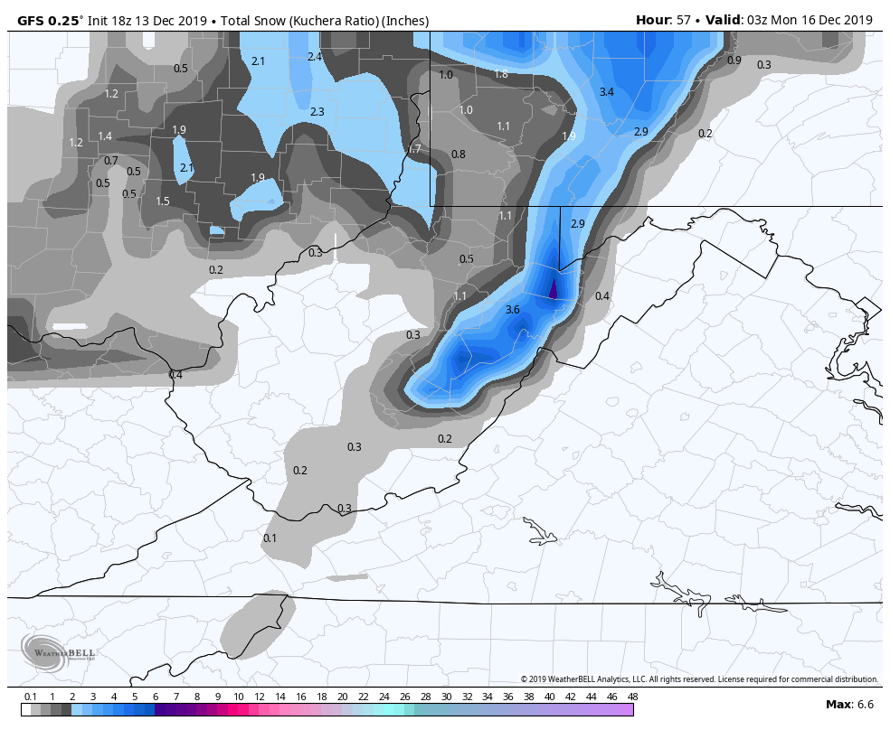
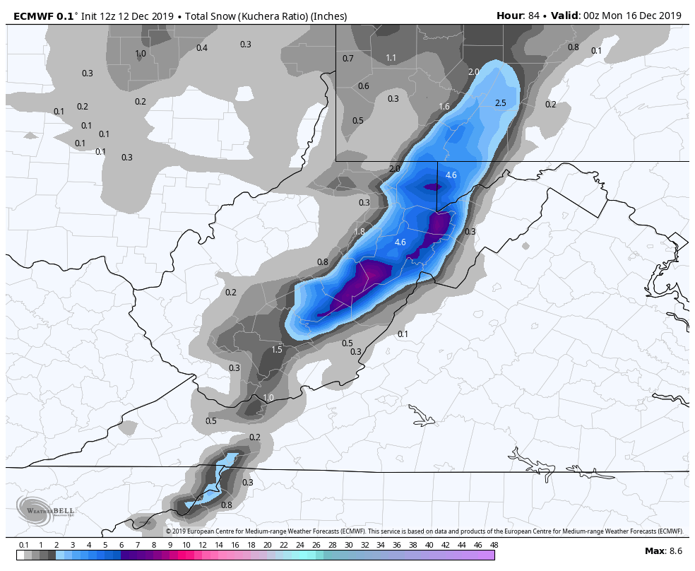
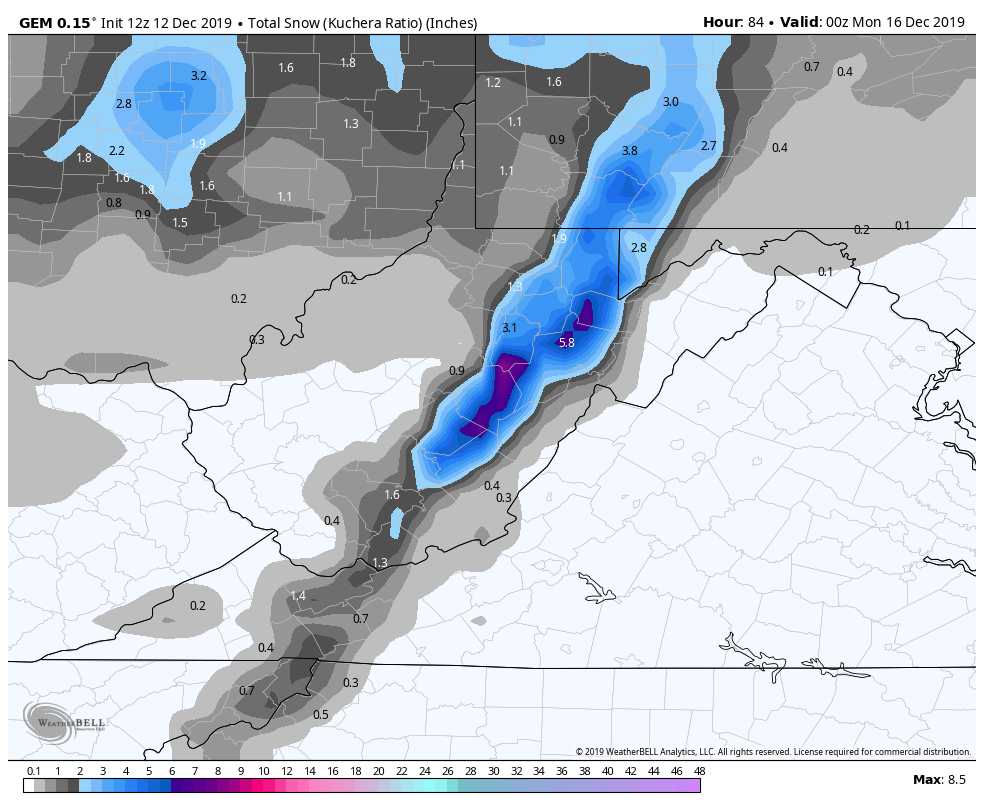
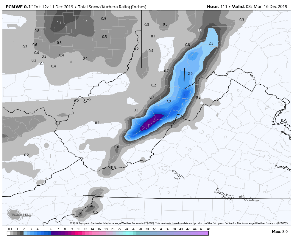
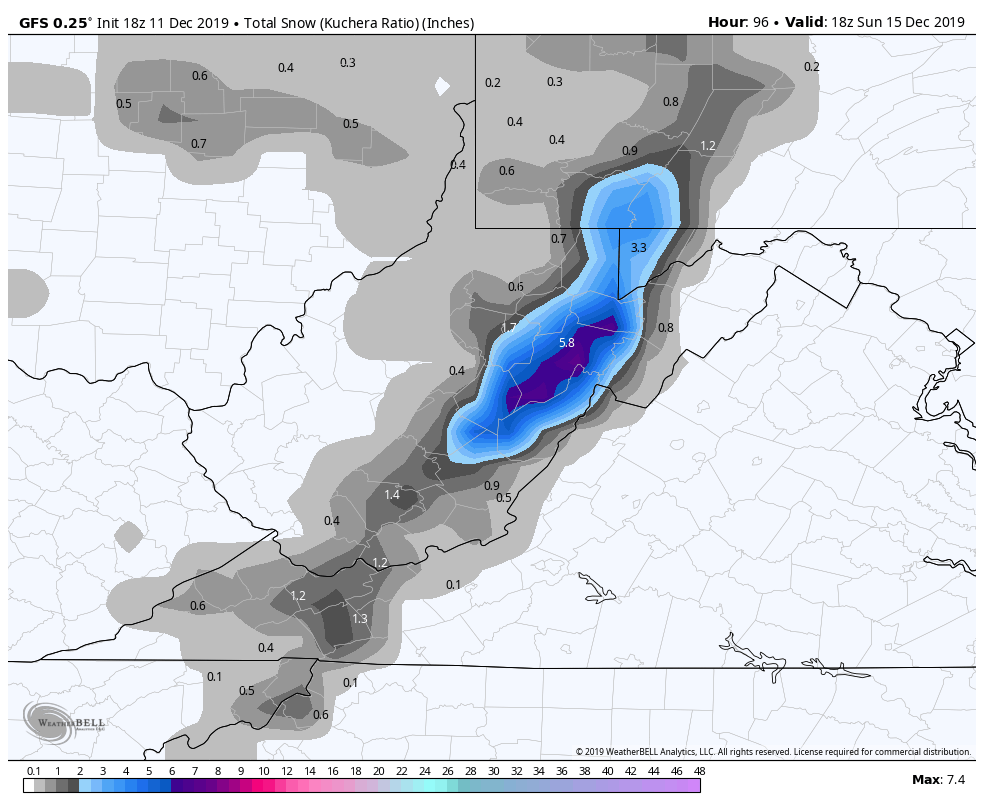
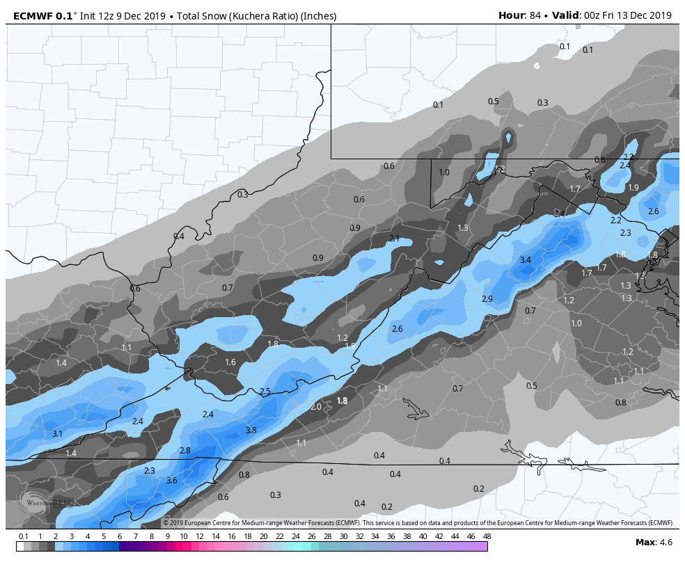
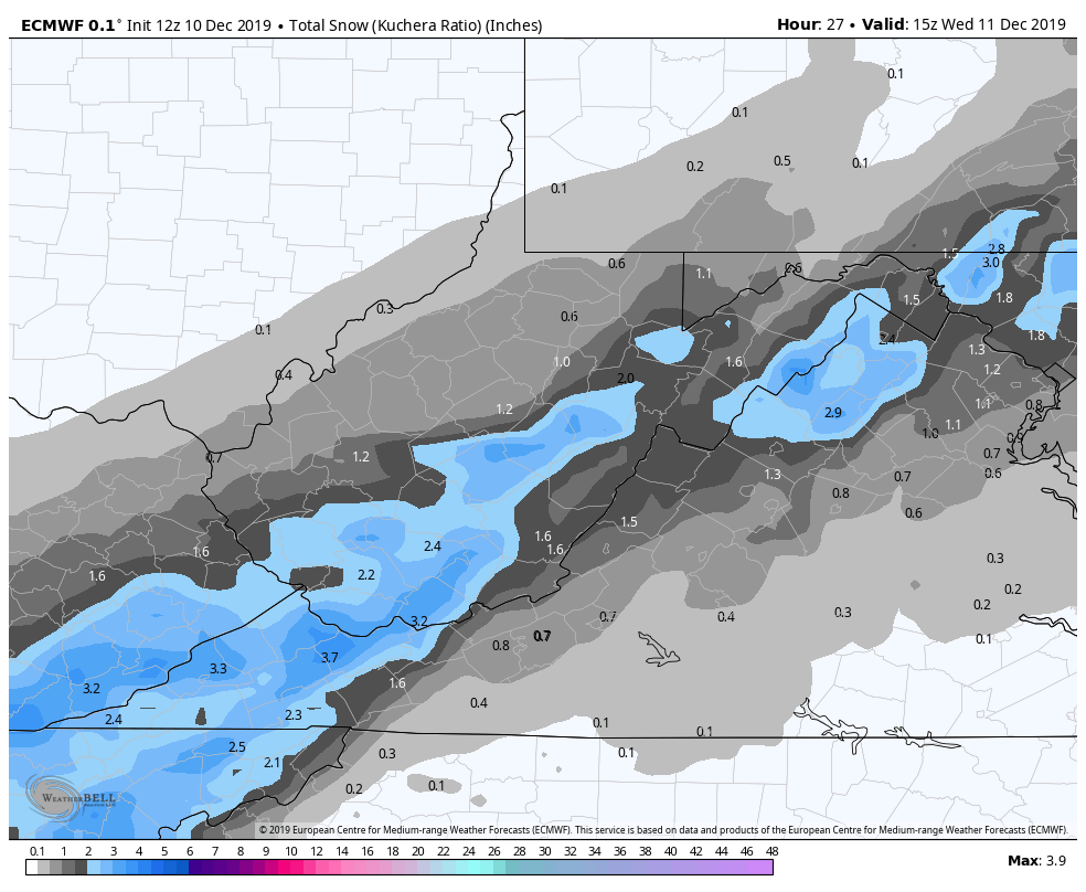
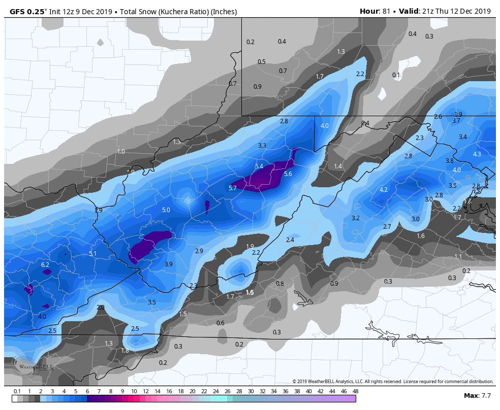
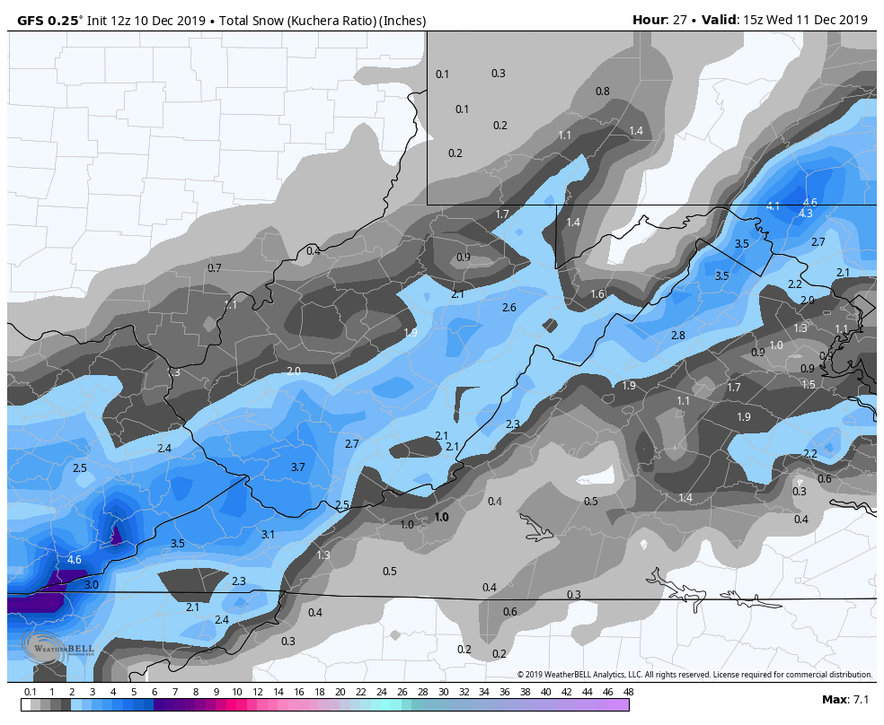
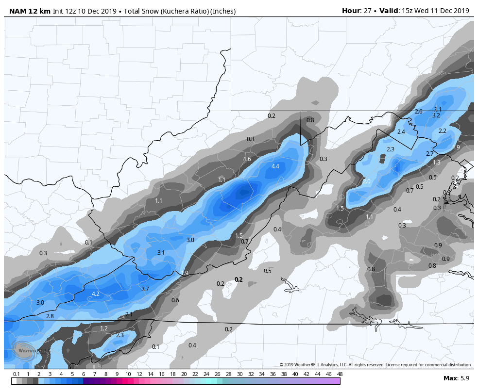
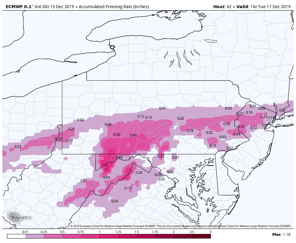
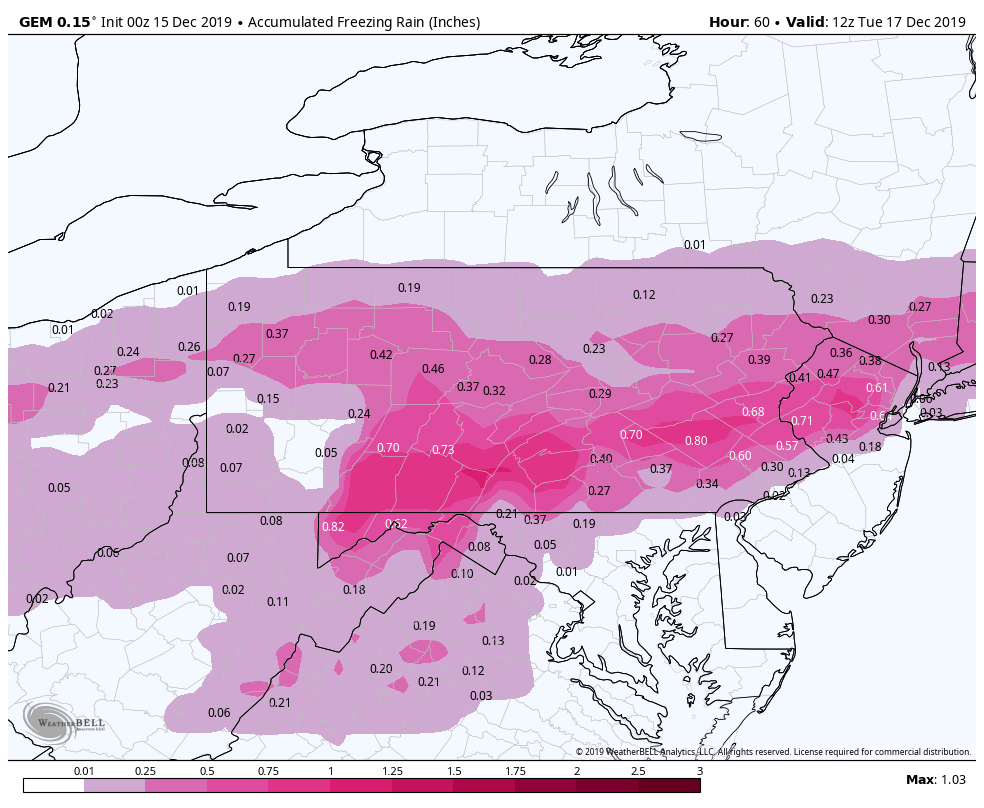
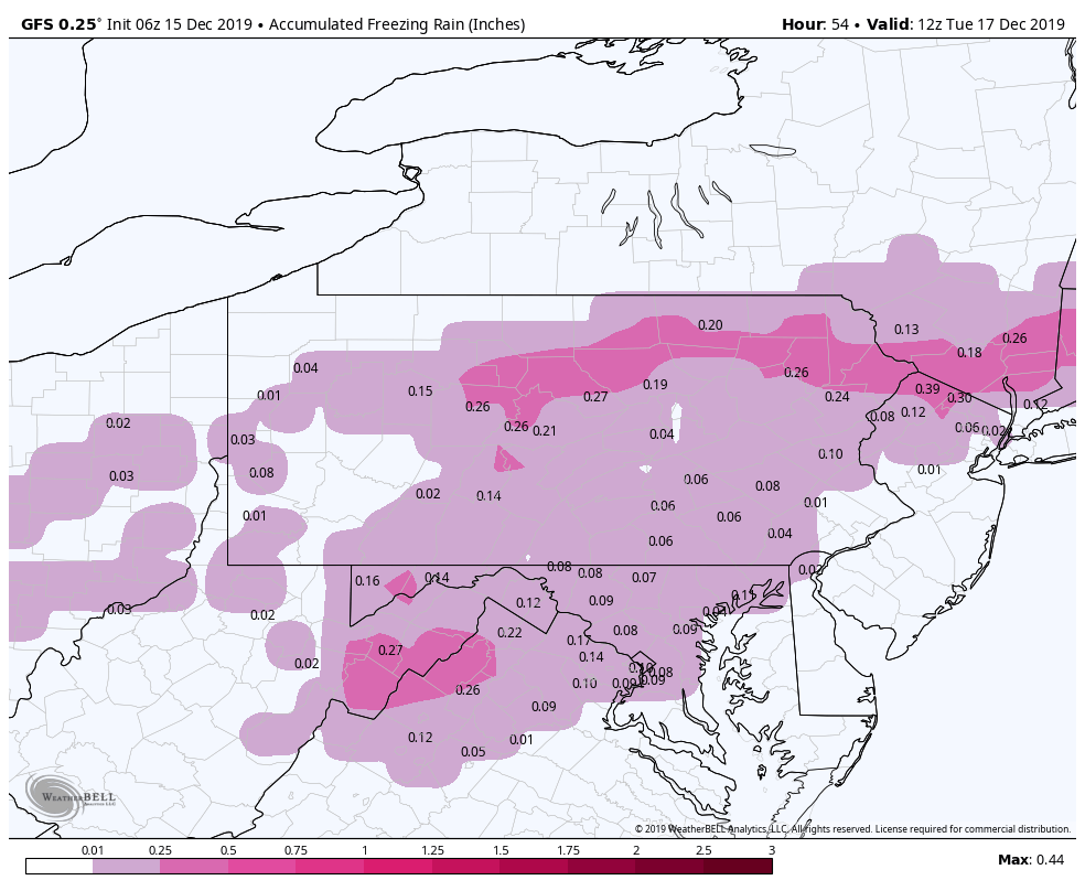
The GFS remains an outlier for the event, with much model agreeance by the various other models. The Nam, and more recently the ICON are models that typically handle this well. The ECMWF is in agreement. The GFS is on its own and will score major points if its correct. If it is, it’s a minor event winter wise.
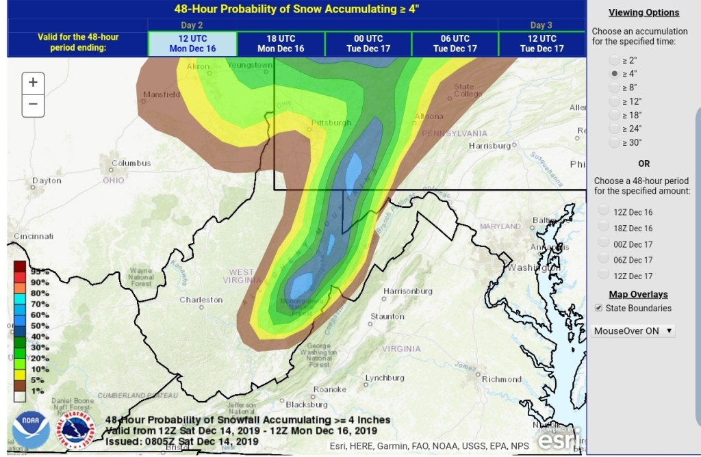
This pushes in early morning Monday. A quick thump of snow
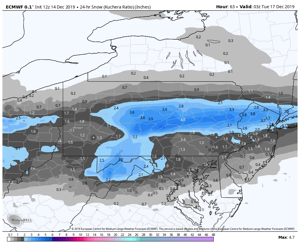
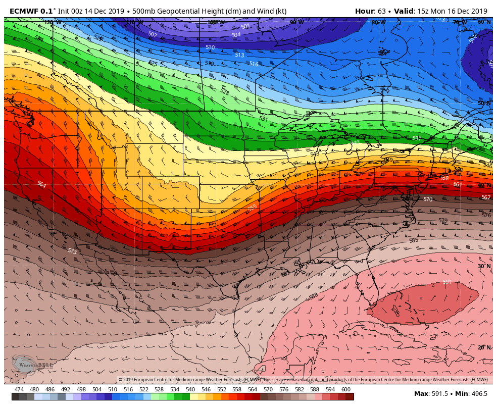
00z ECMWF
looks possible, a brief change to sleet. What often occurs is a precip lull that allows the column to warm and then sleet to freezing rain rapidly occurs after the snow end . Areas east, lower elevations will likely remain snow longer, the cold air depth, column is more favorable there and that is typical.
850s off the 0z ECMWF tomorrow morning
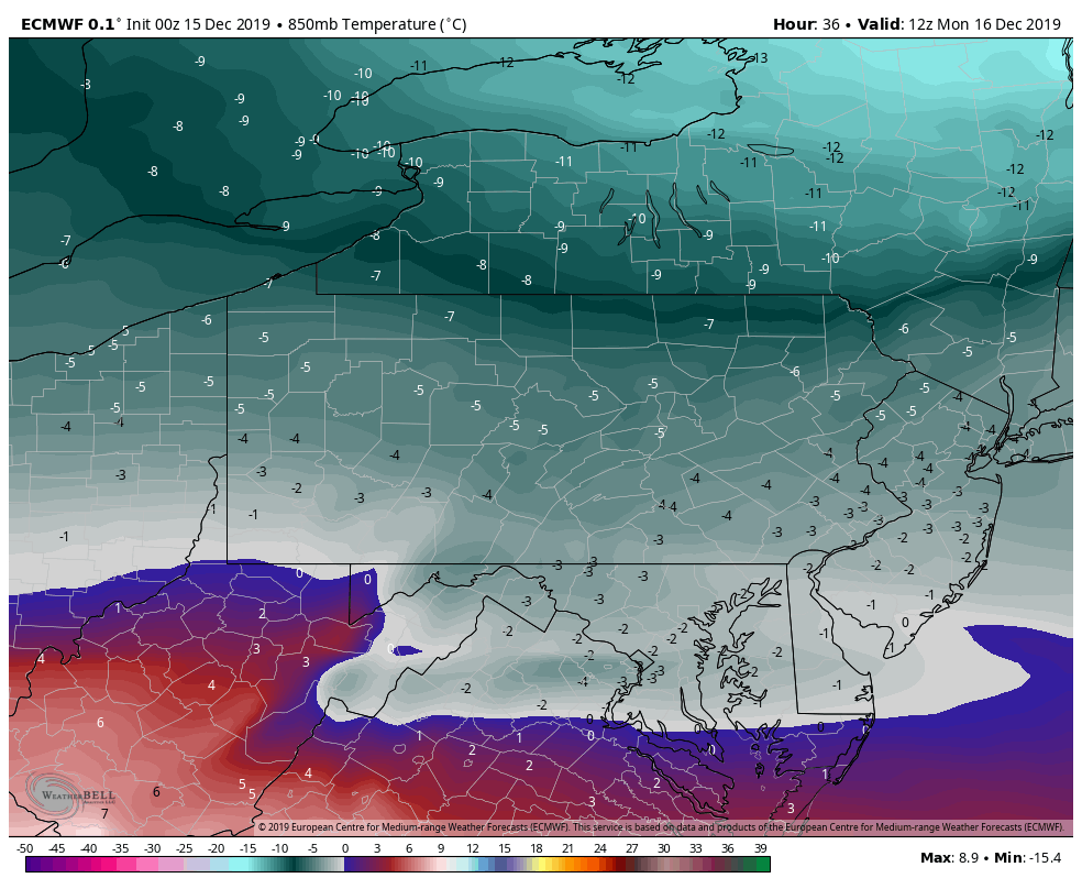
The high WV ground will be the first to change and go to plain rain and will be the less icy of the region. However, it still remains to be seen just how quick that milder air gets in there. Freezing rain should occur back to Backbone and Canaan Mts briefly at least, unlike these past ones.
From east of 219 and near Sand Flat to the Swanton area, angle to Mt.Storm, and points north, northeast this looks to be a duration ice event. Stay tuned.
Jump to the models. My favorite in the setup as it performs well . The 3km Nam
6z 3km Nam
2m temps
Closer look at Garrett(central time on this map)
0z ECMWF
2m temps
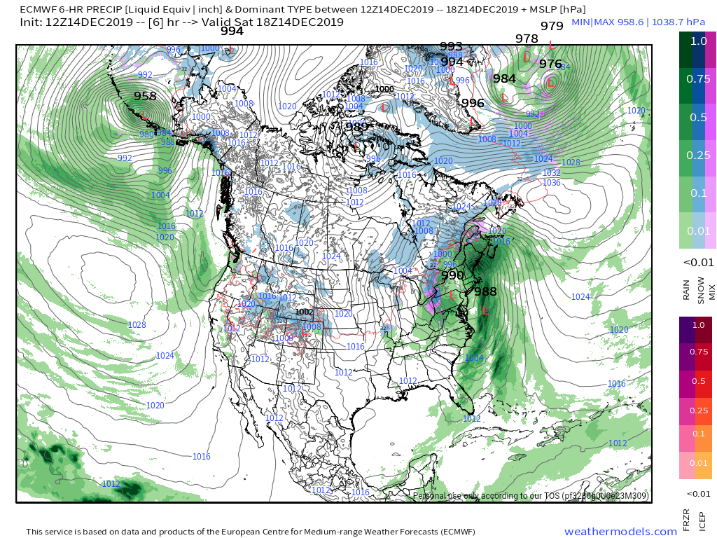
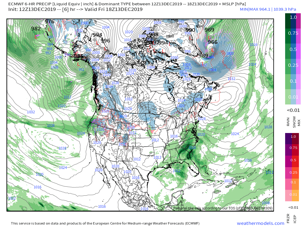
MSLP/6HR/PRECIP
6z ICON
2m temps
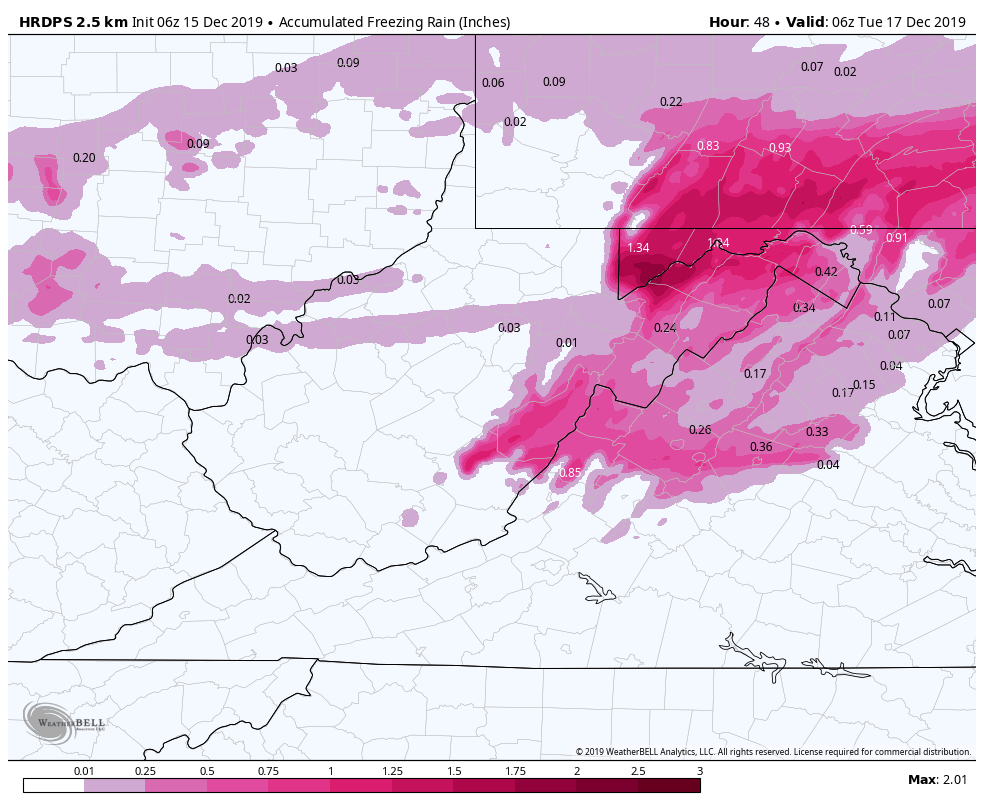
HRDPS(Short range Canadian)
2m temps
overdone very likely
0z Canadian
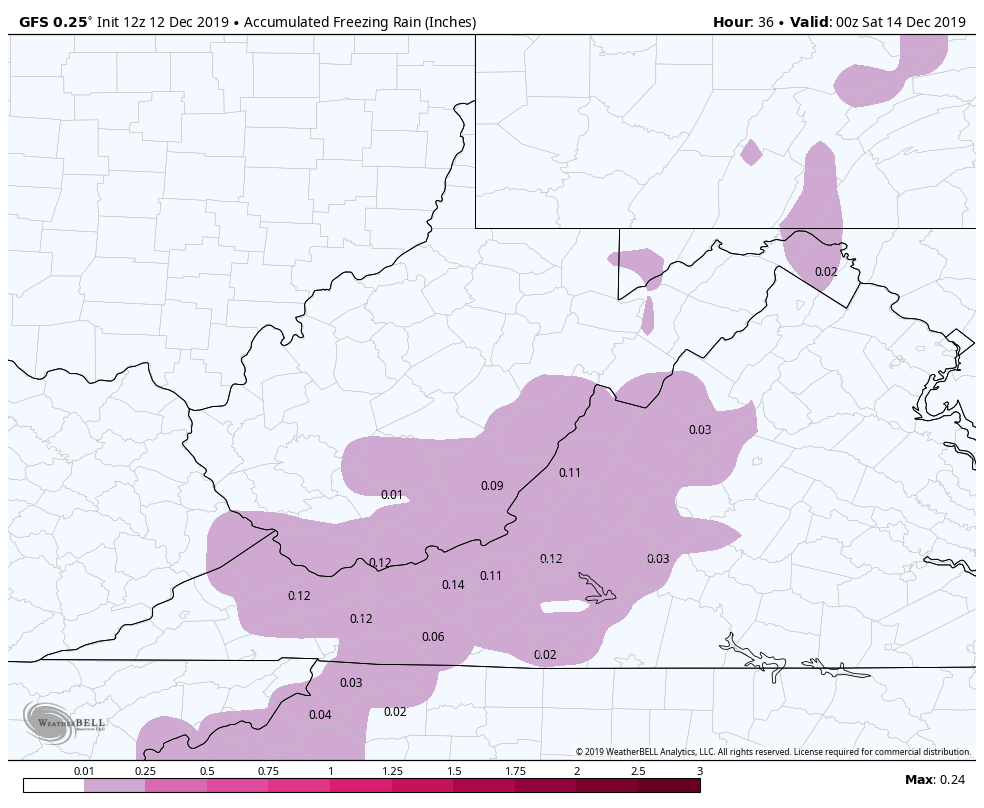
Ice totals
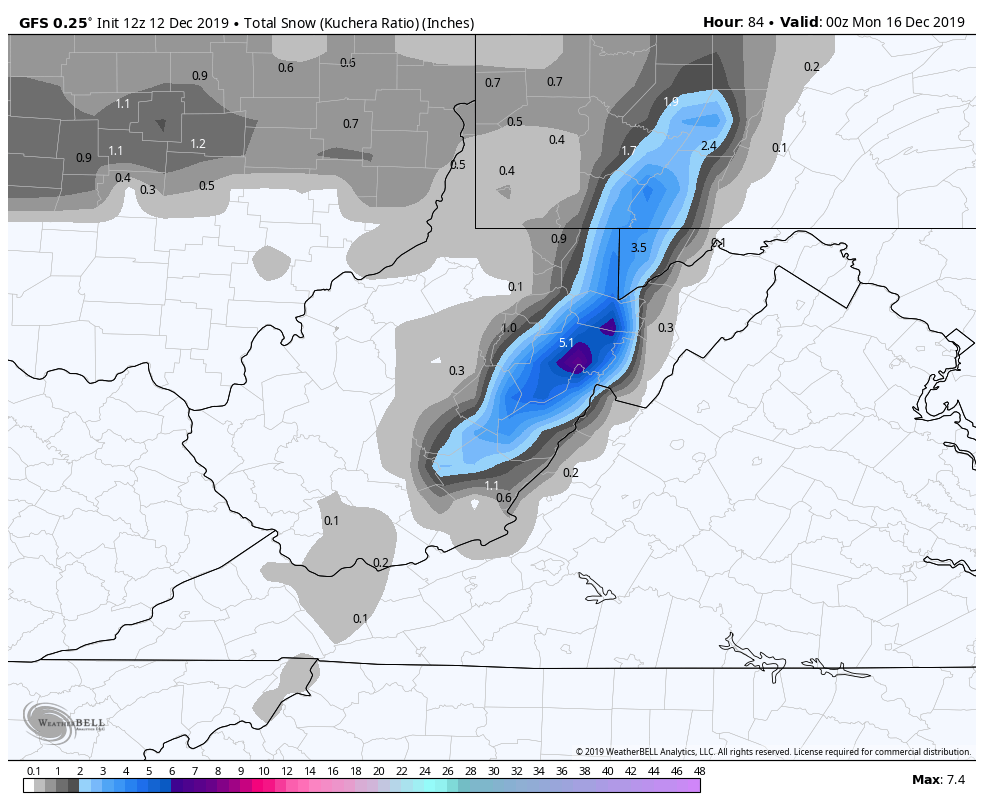
Now the GFS. A much milder outlier
WPC OUTLOOK
For freezing rain accretion
Will post more through today. Updates etc as this is a potential major event in some areas.