Rain changed to snow overnight. Winds increased. Snow showers until mid morning, then ceased. Some high ground fog/rime.
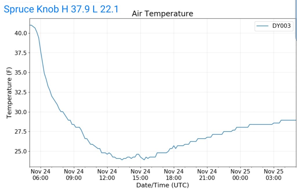
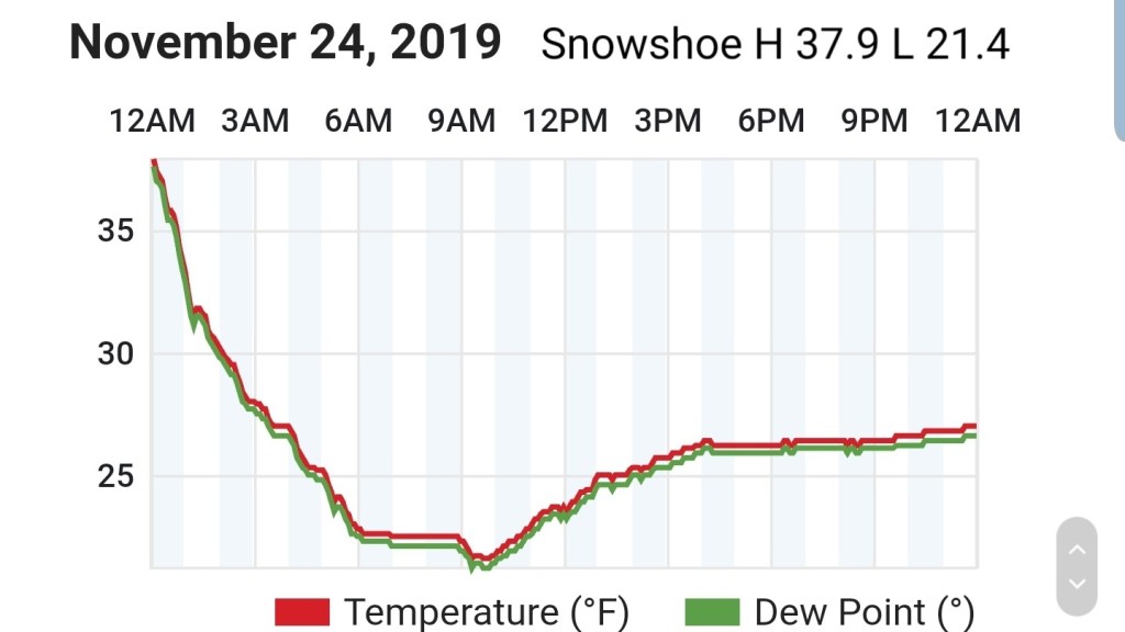
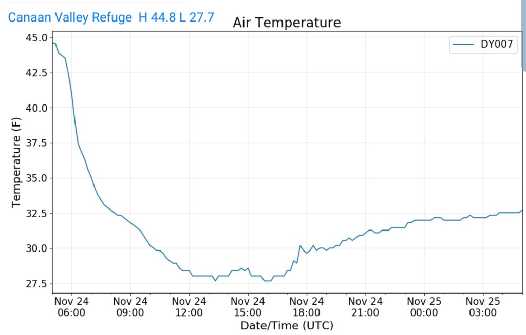
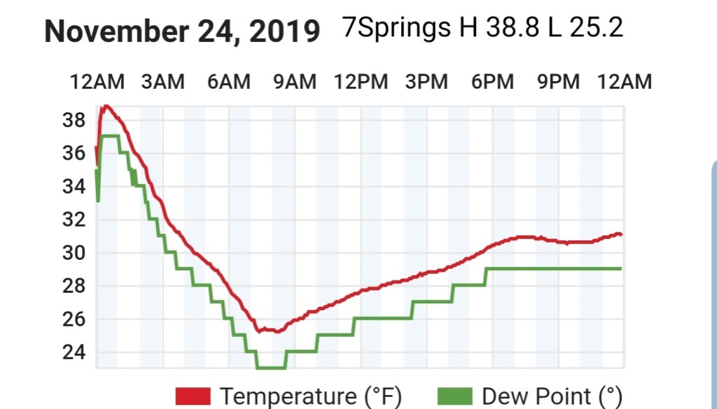
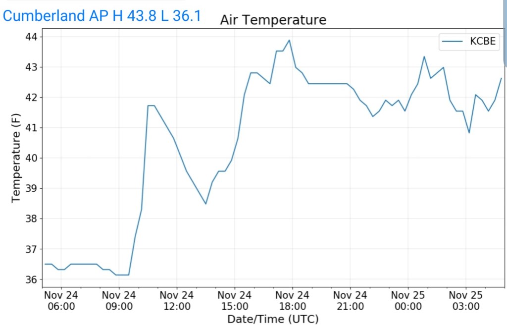
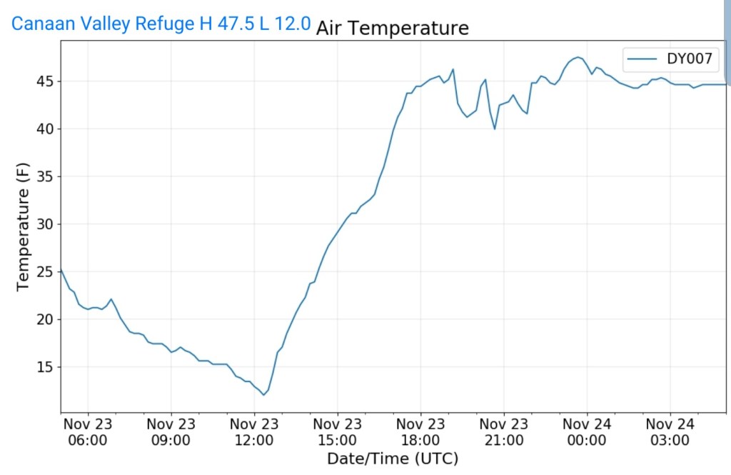
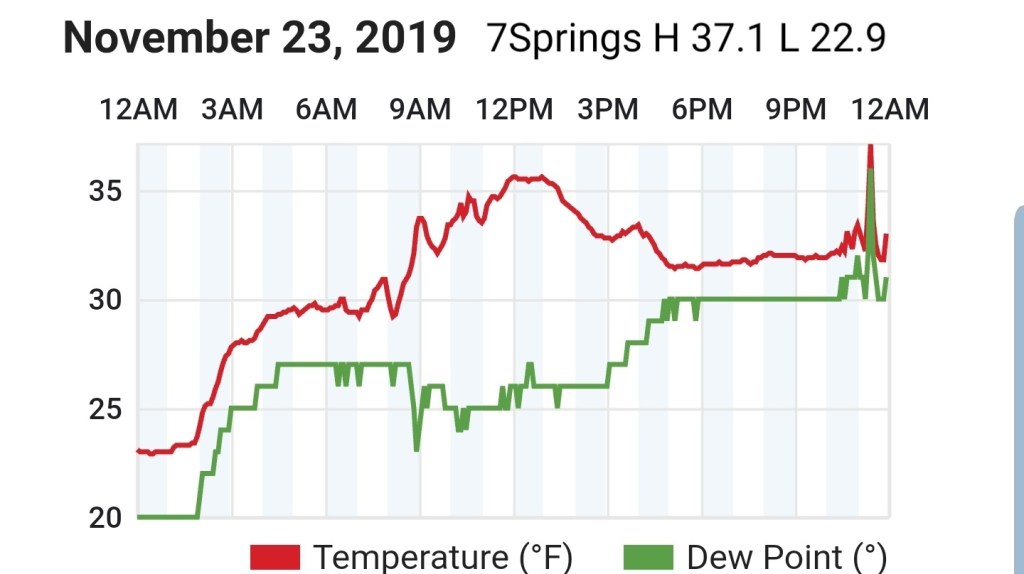
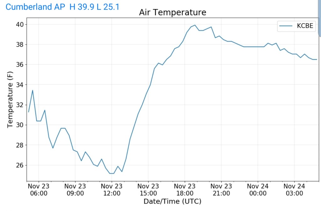
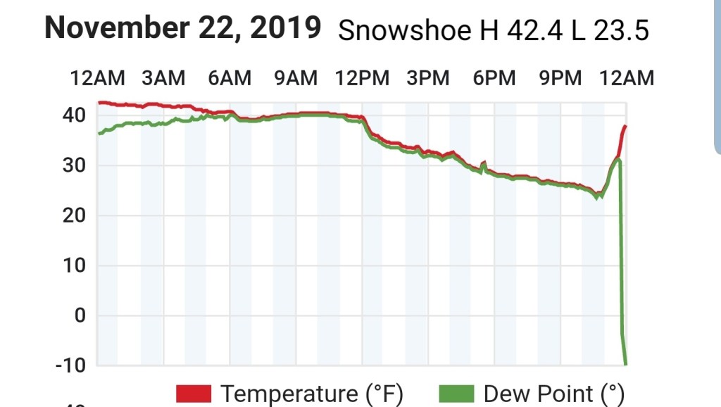
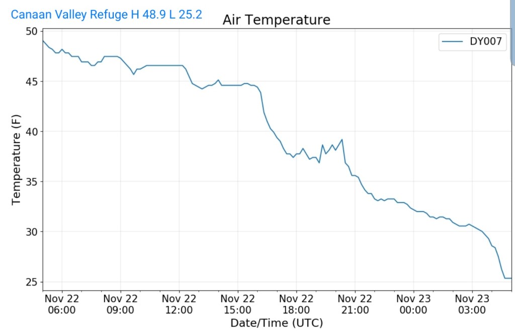
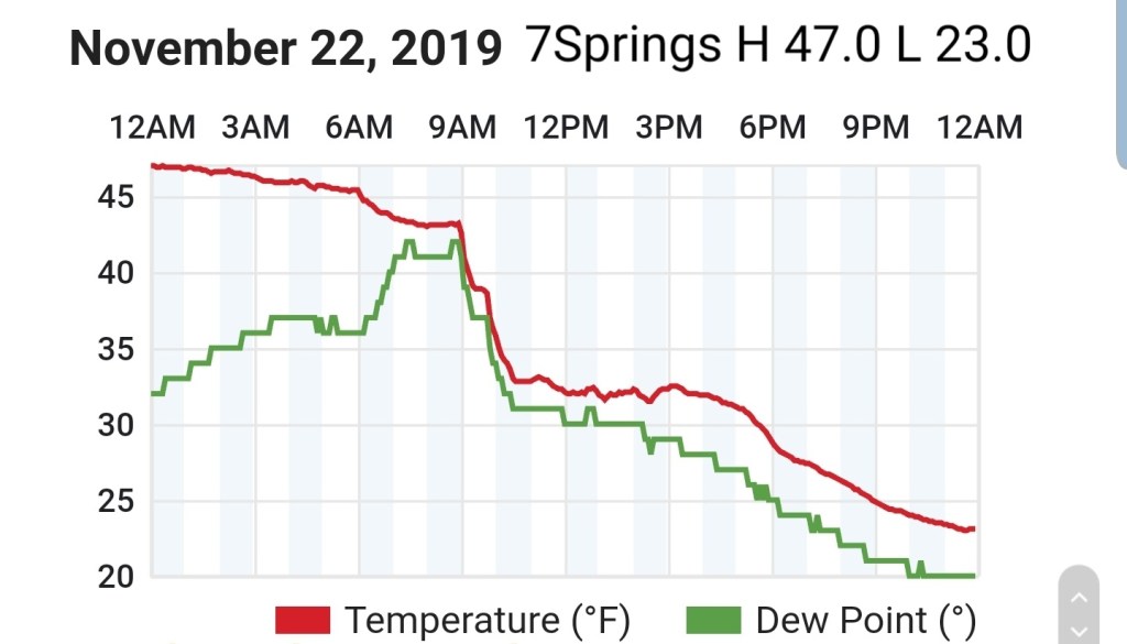
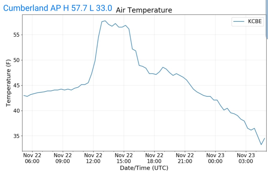
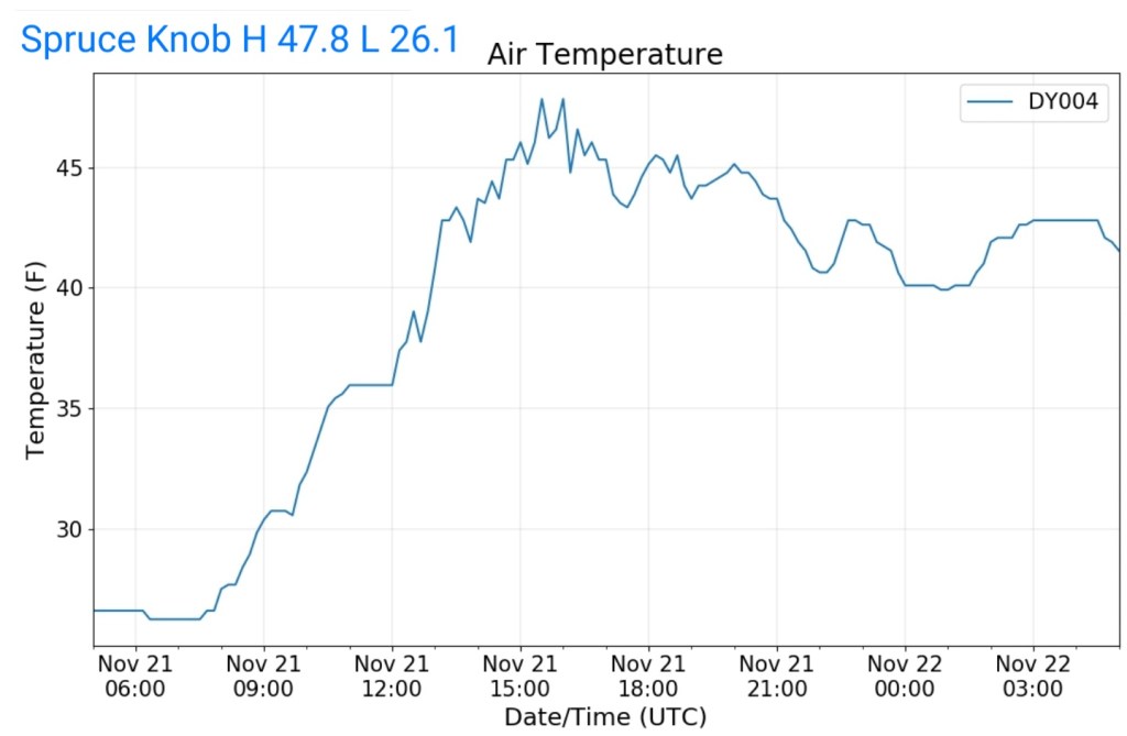
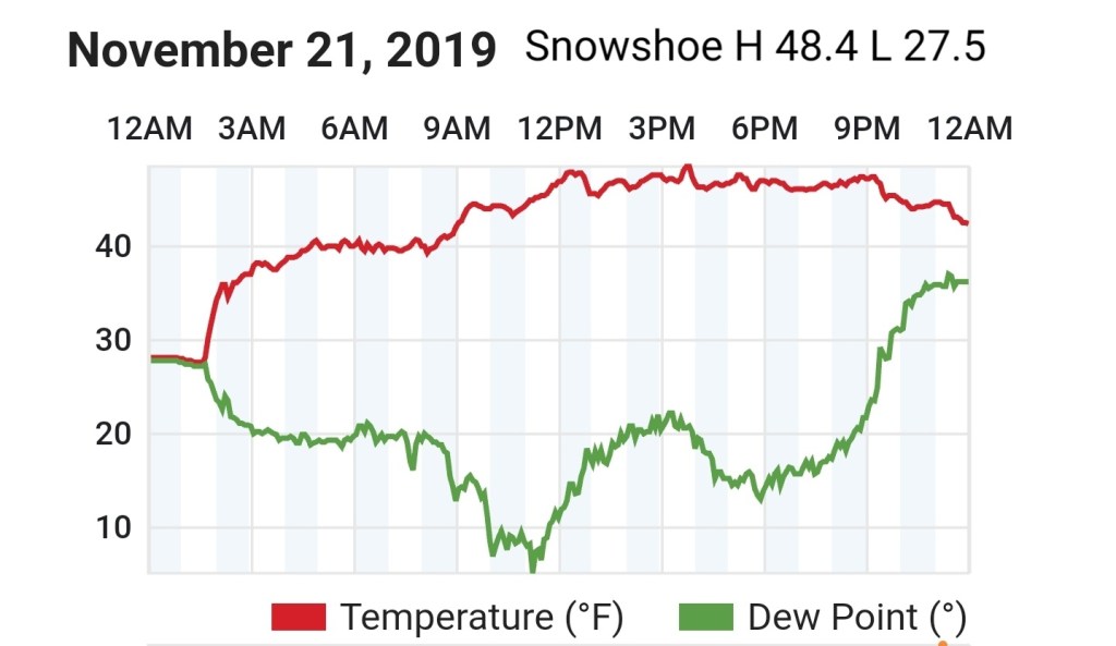
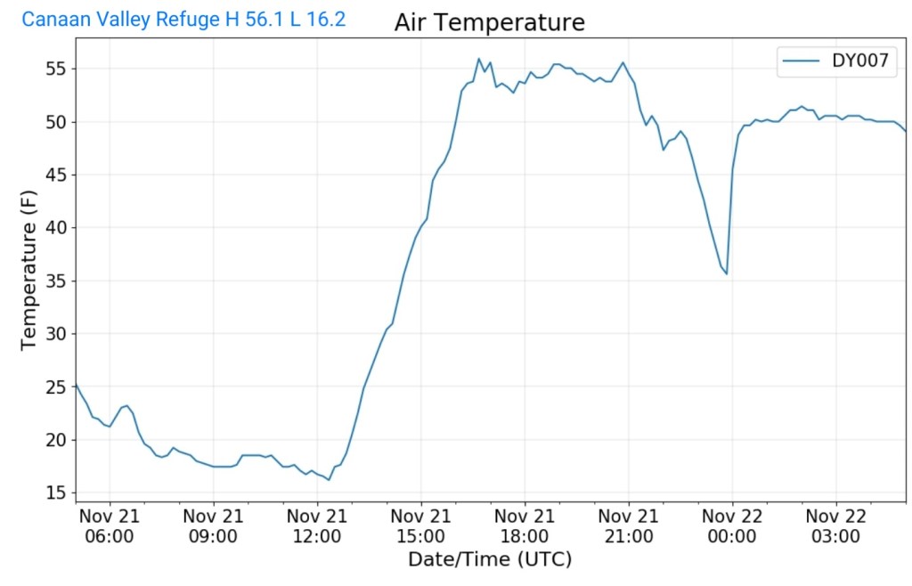
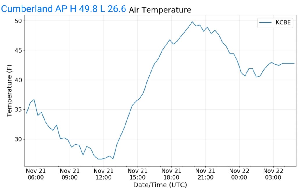
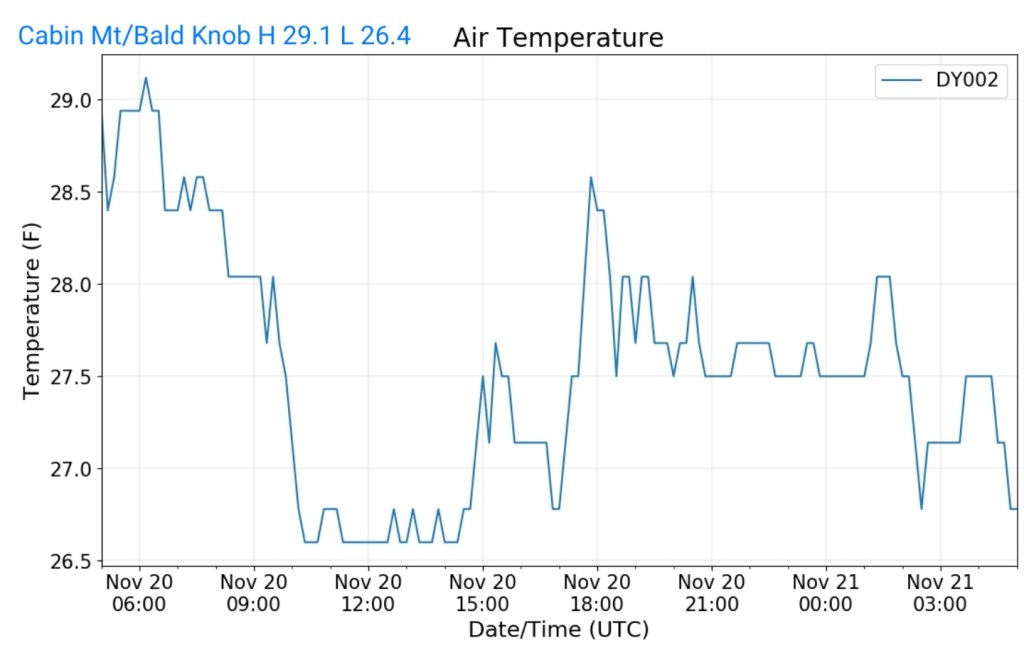
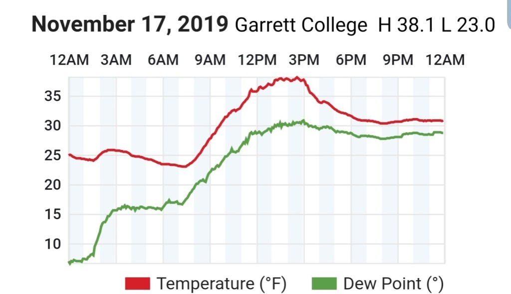
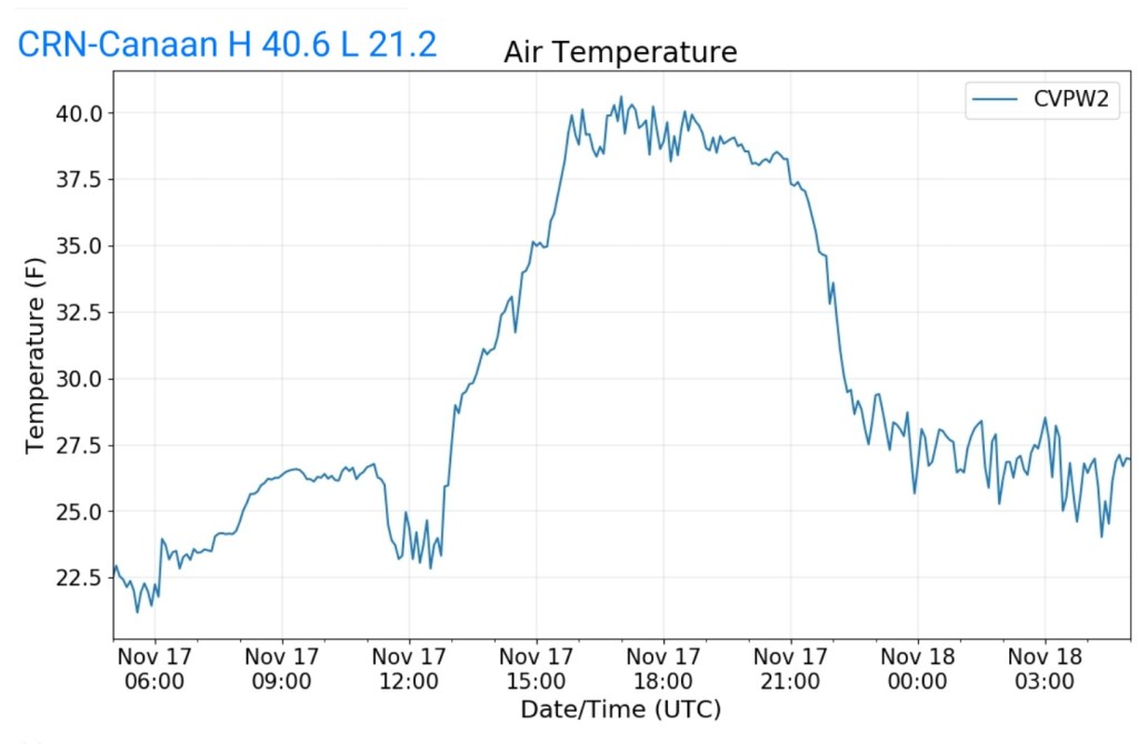
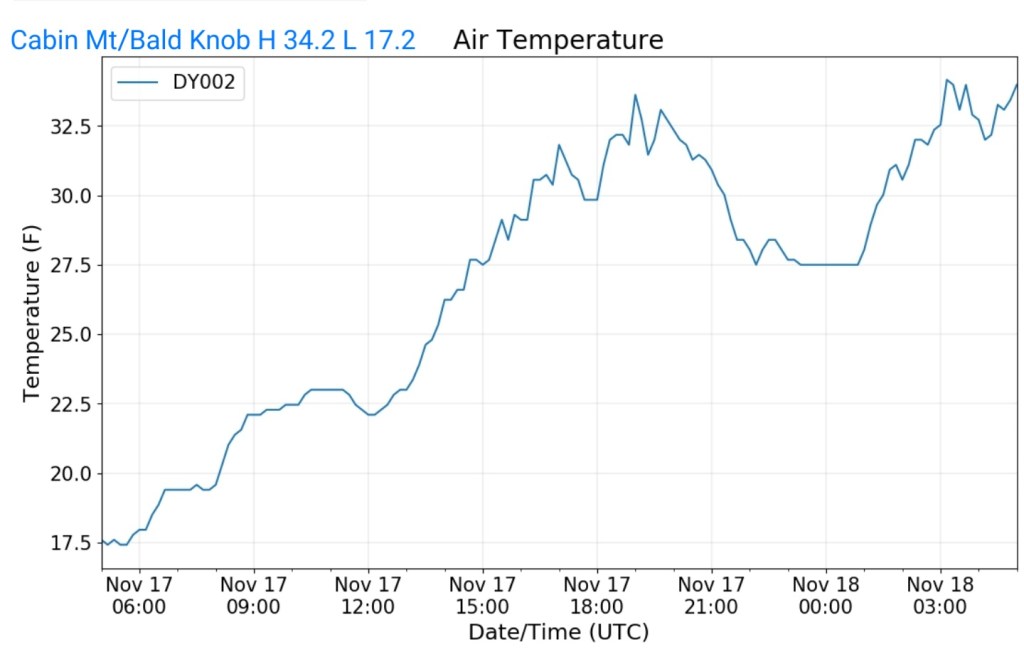
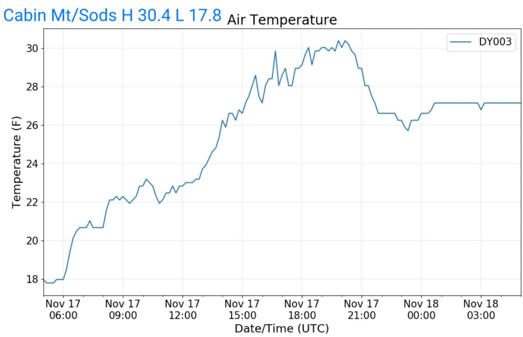
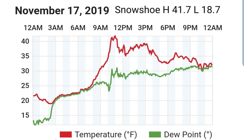
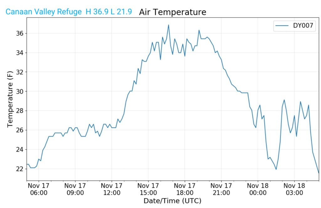
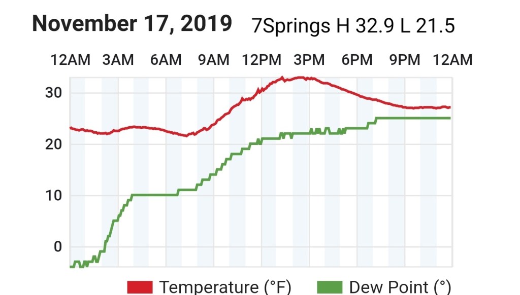
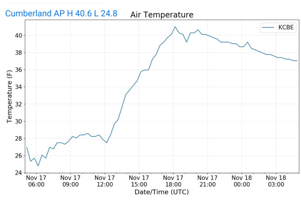
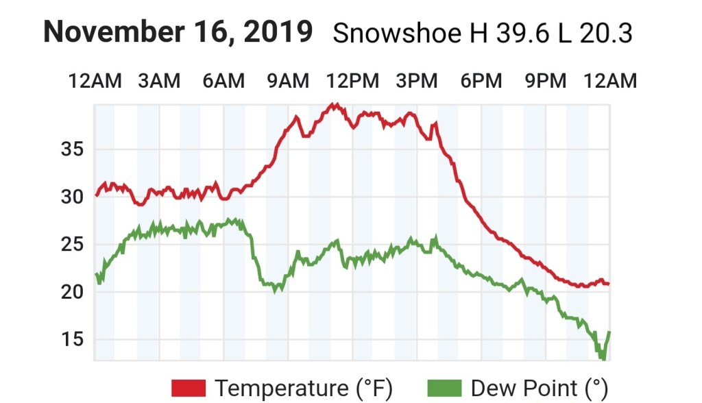
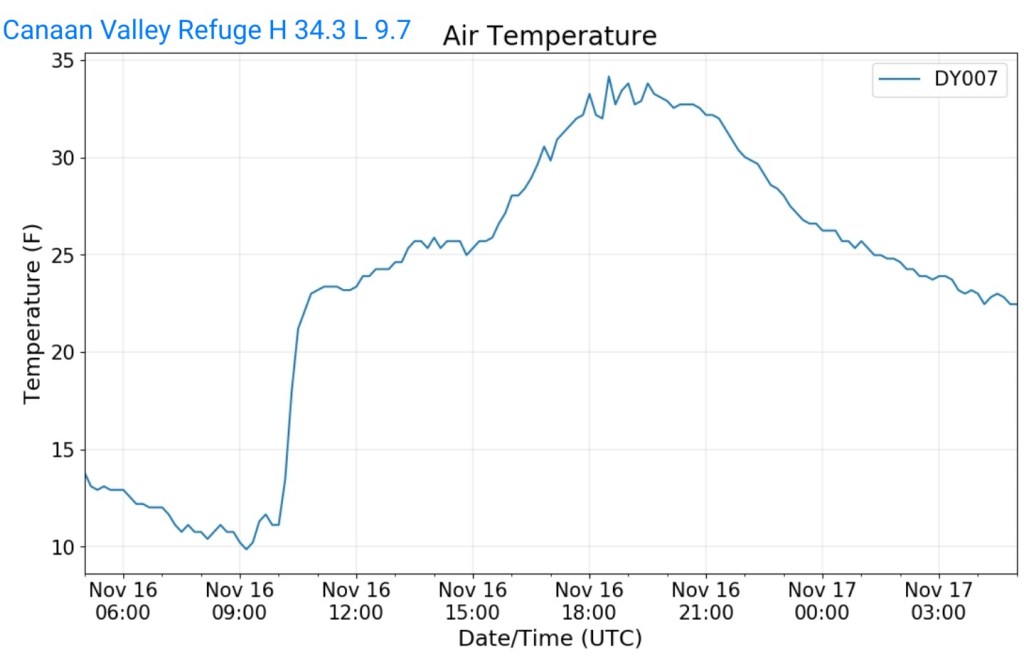
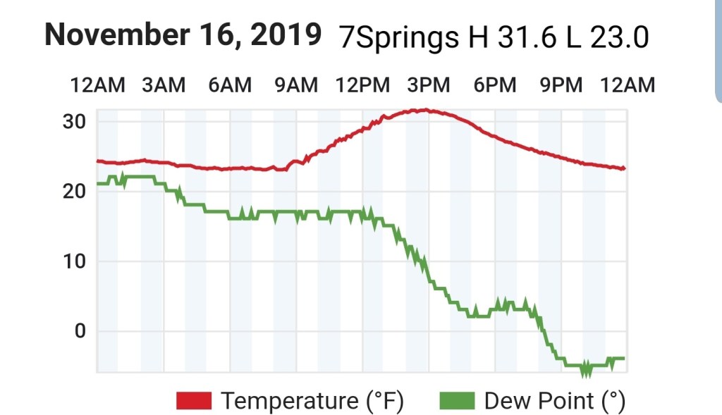
Temps today
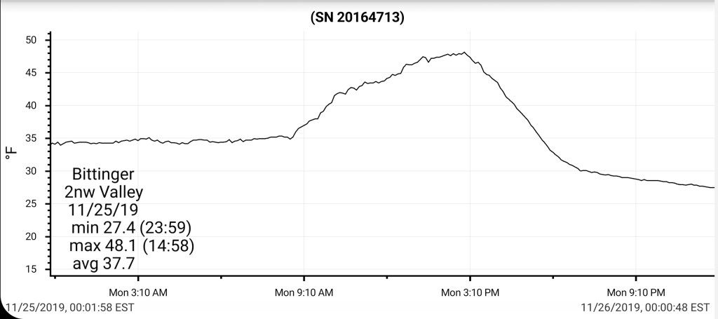
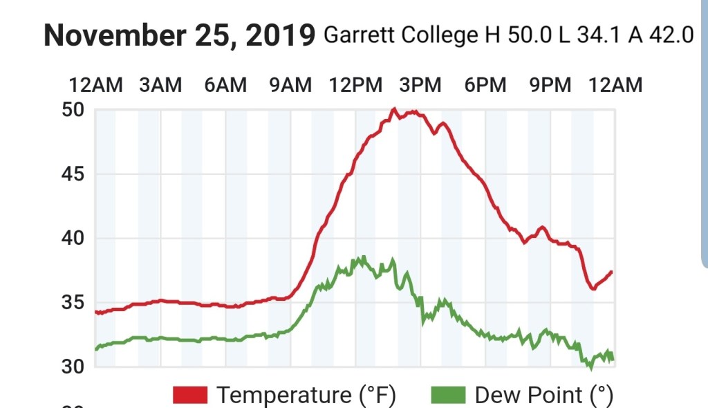
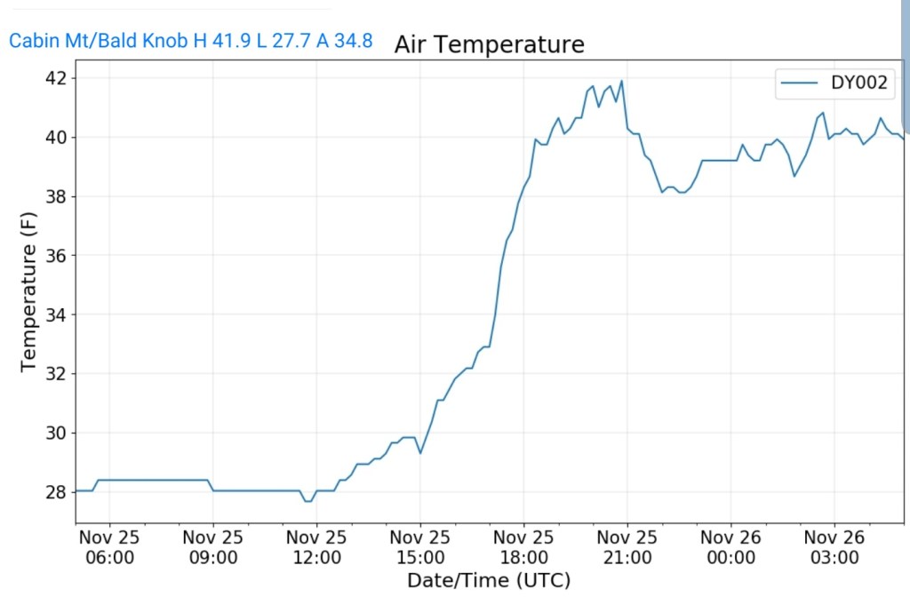
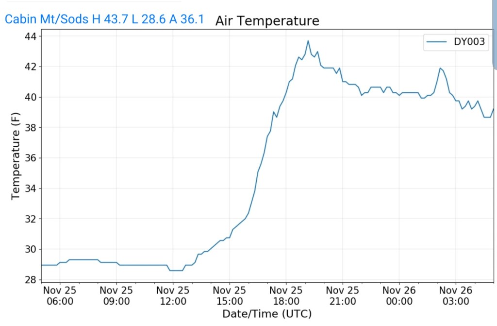
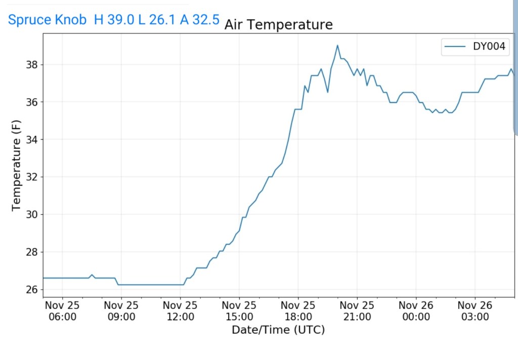
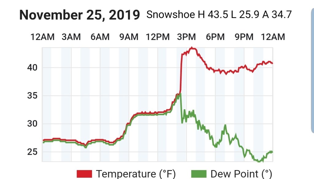
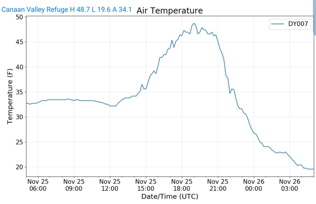
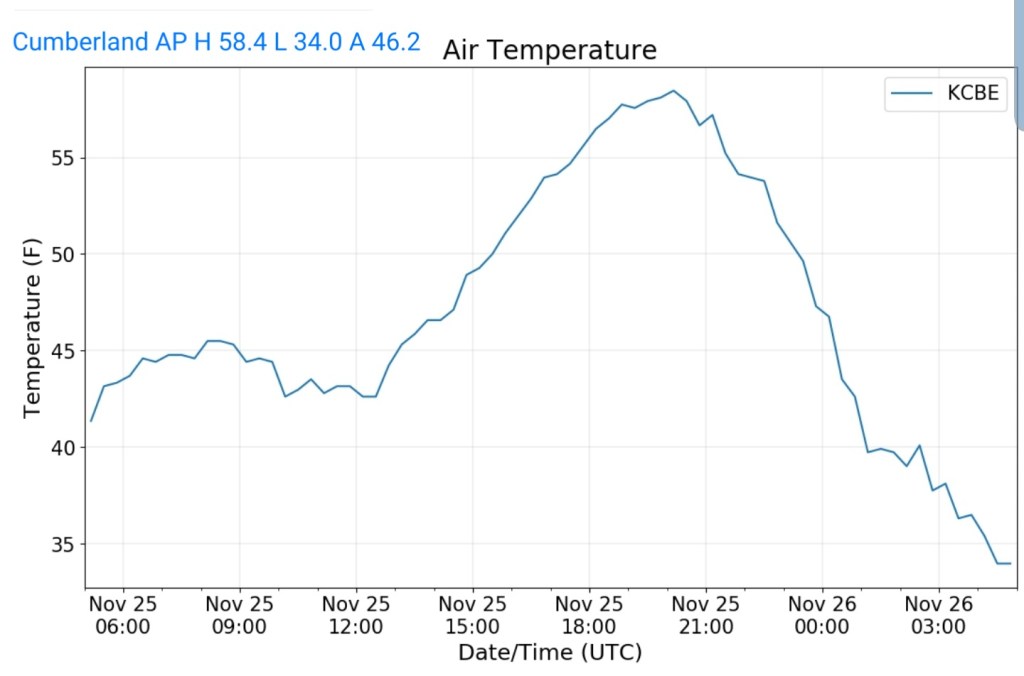
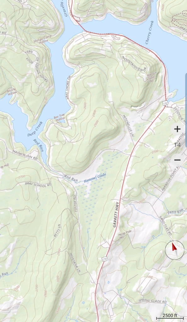
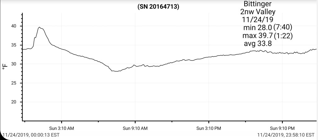
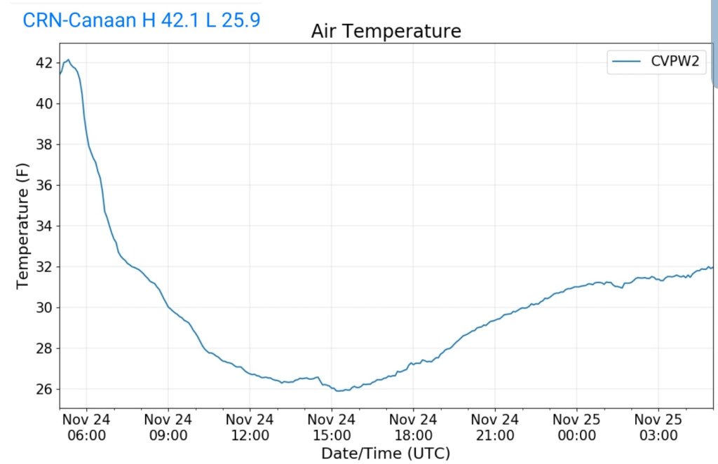
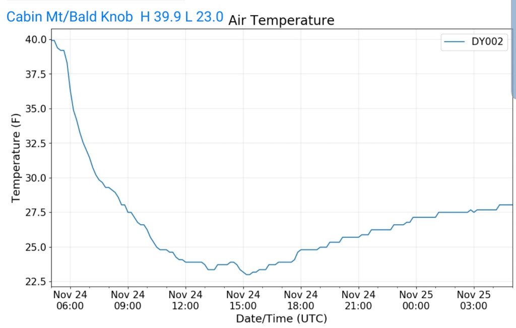
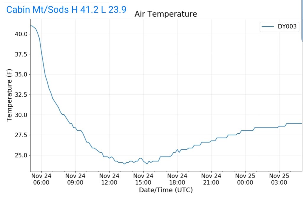
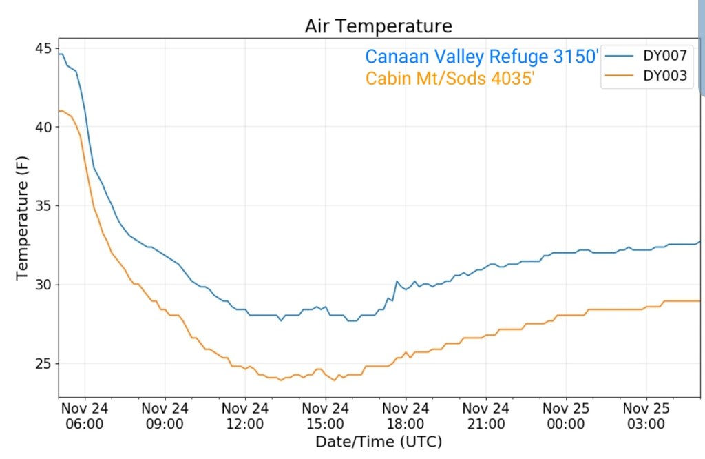
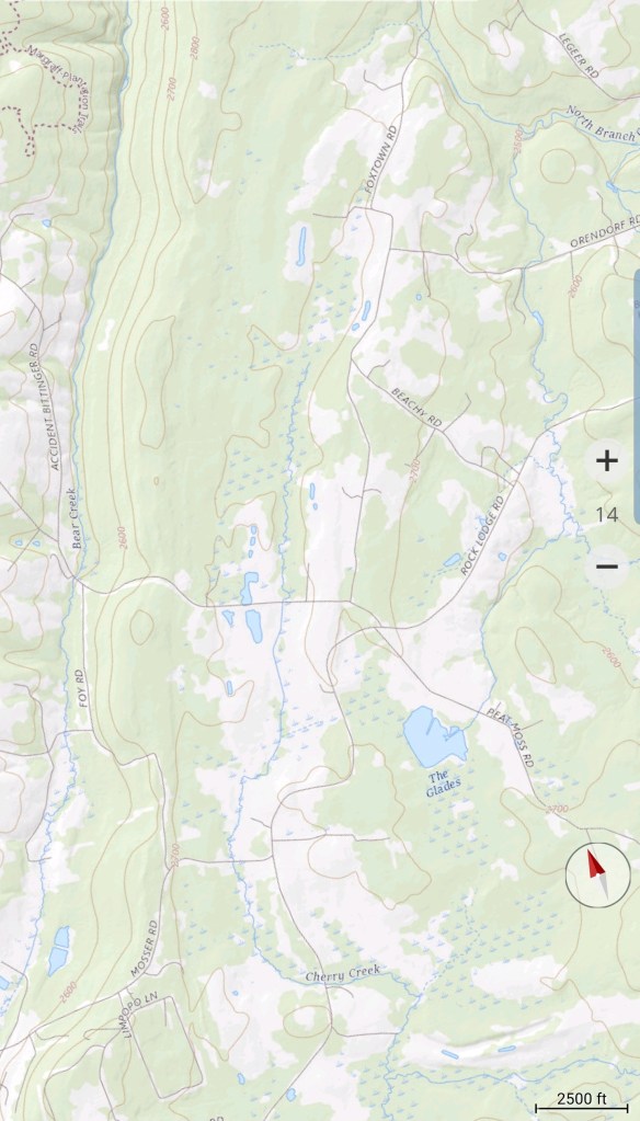
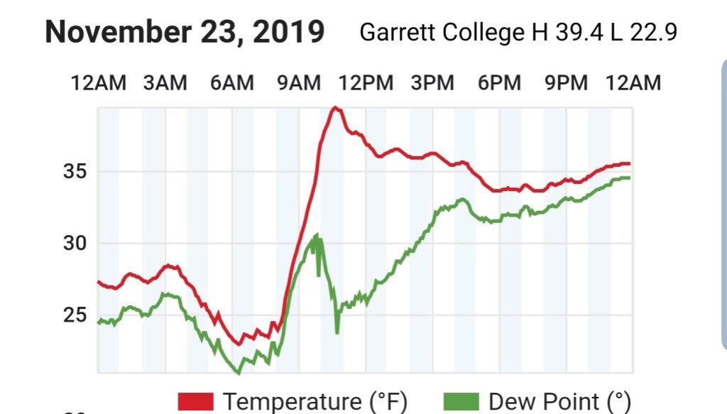
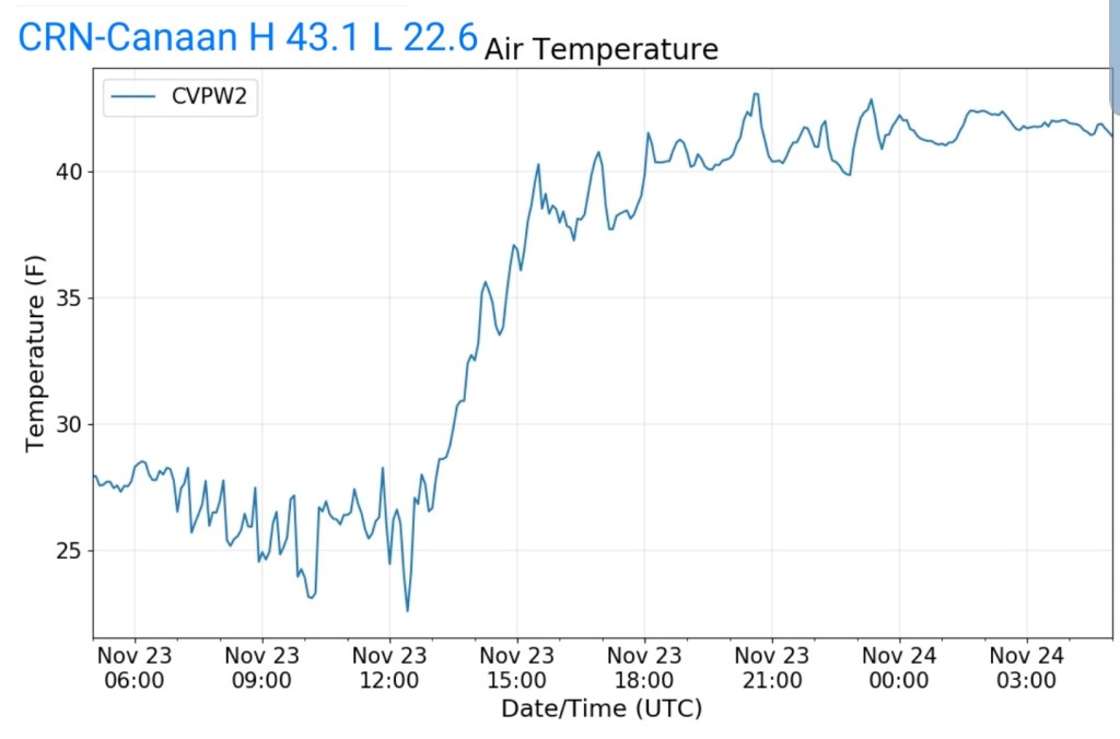
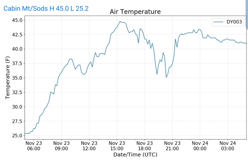
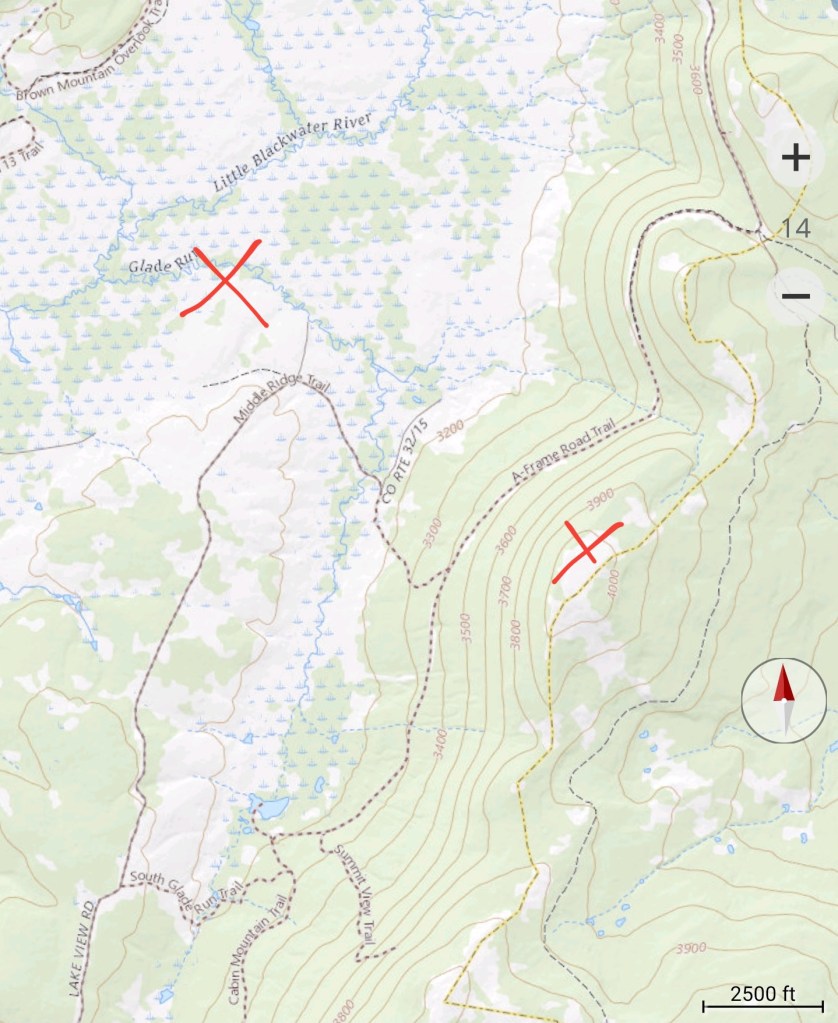
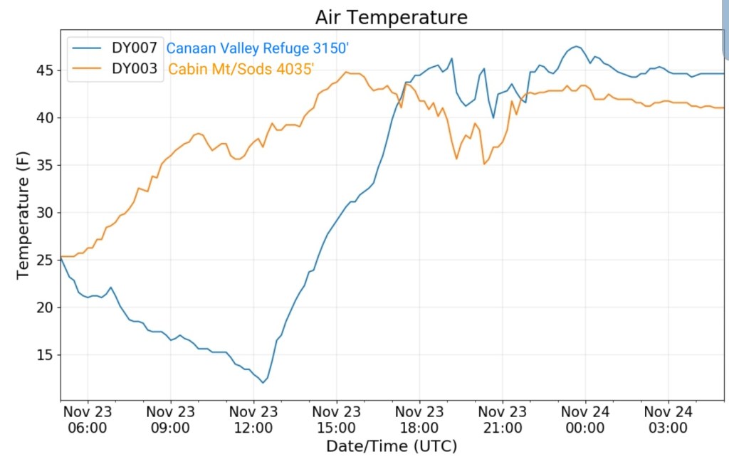
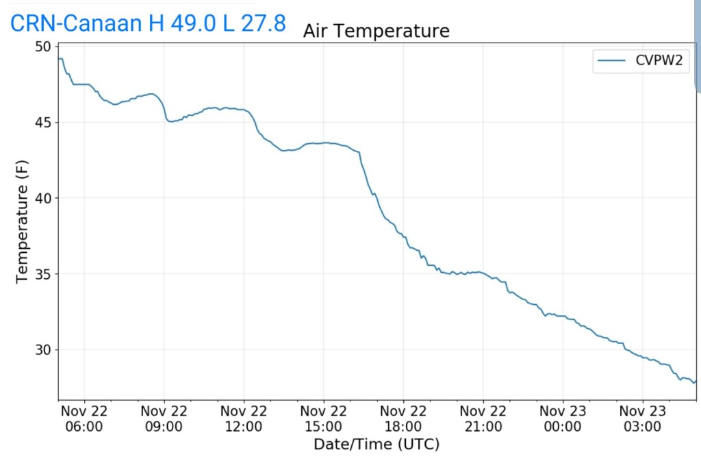
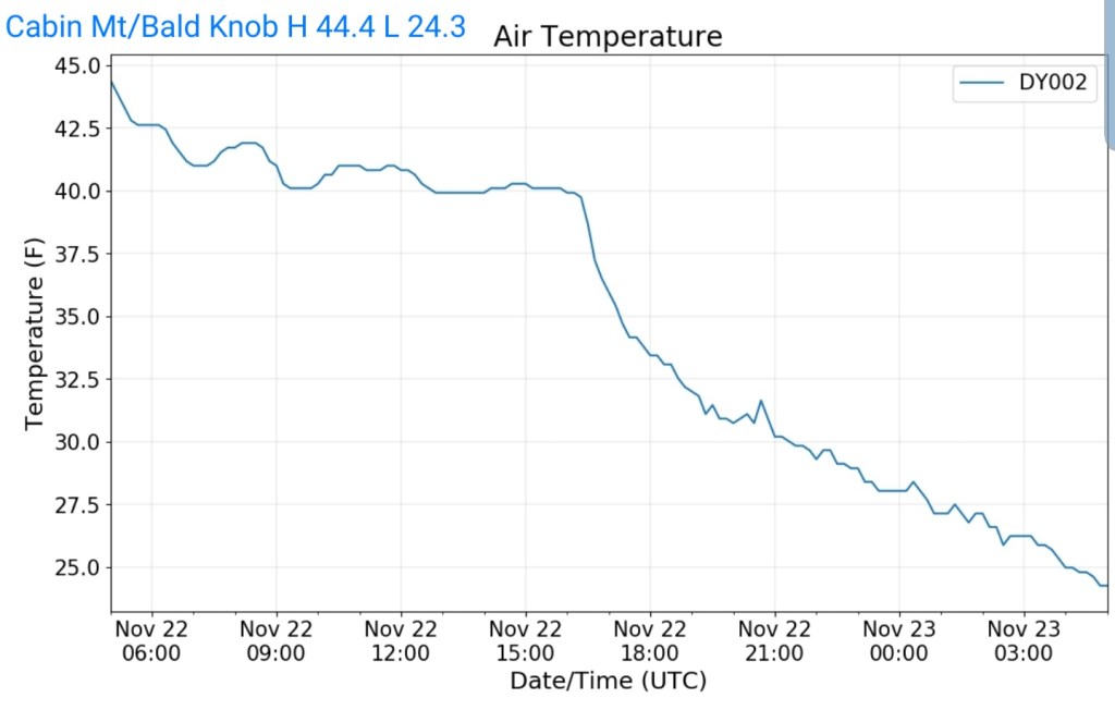
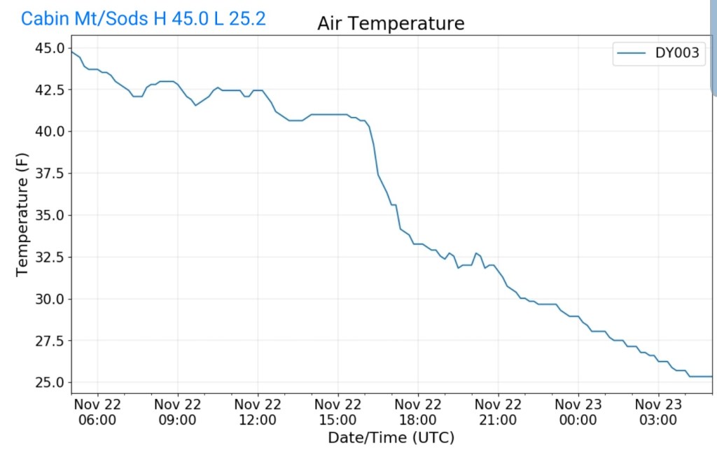
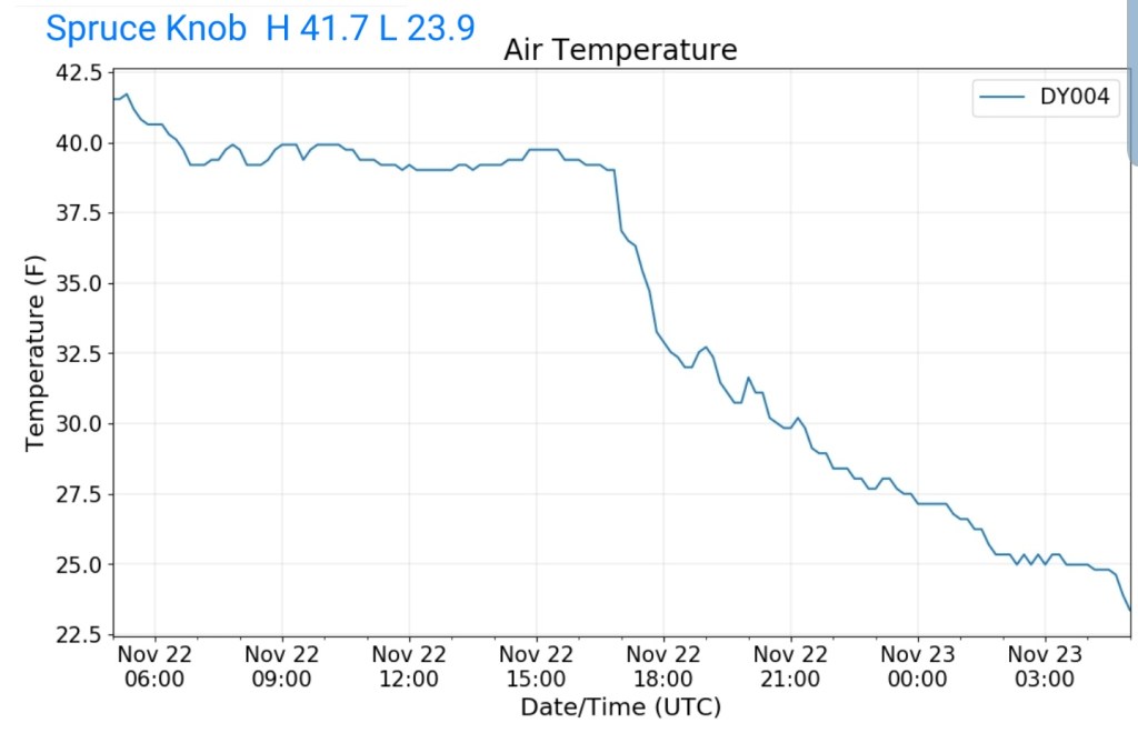
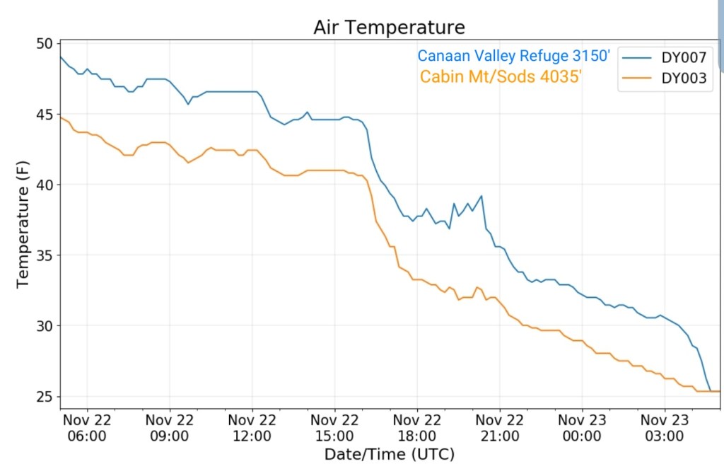
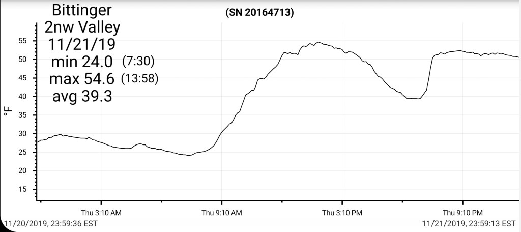
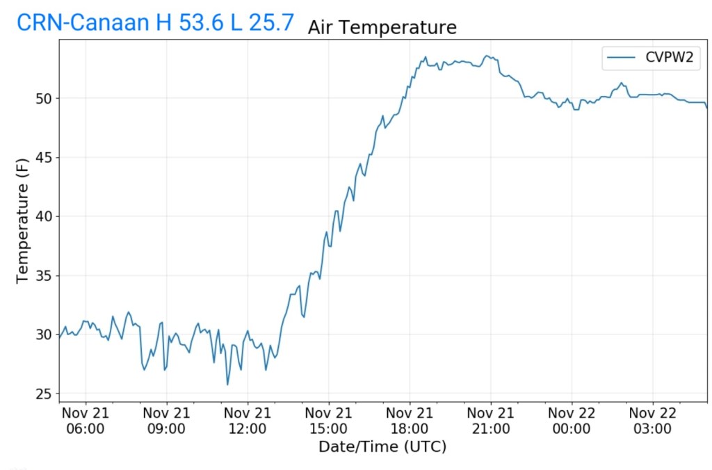
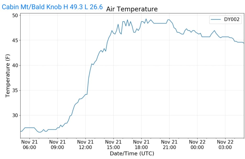
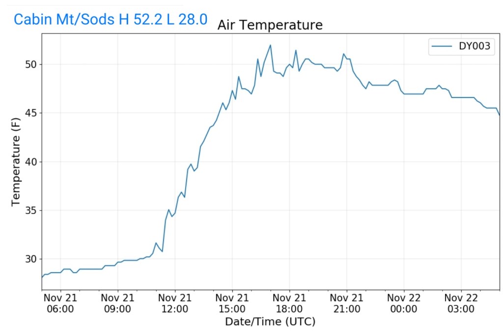
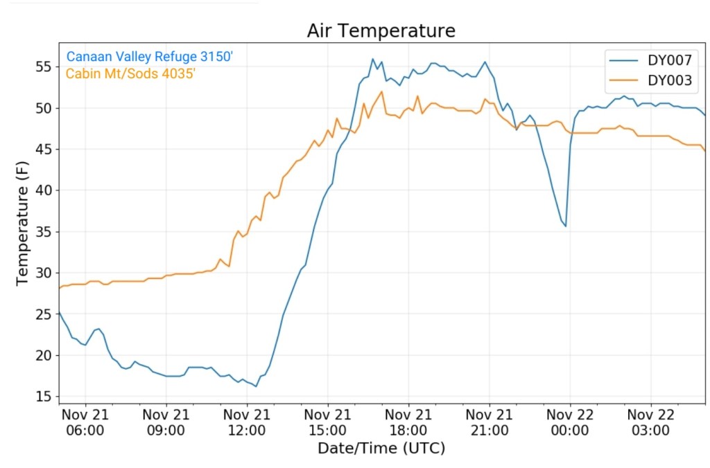
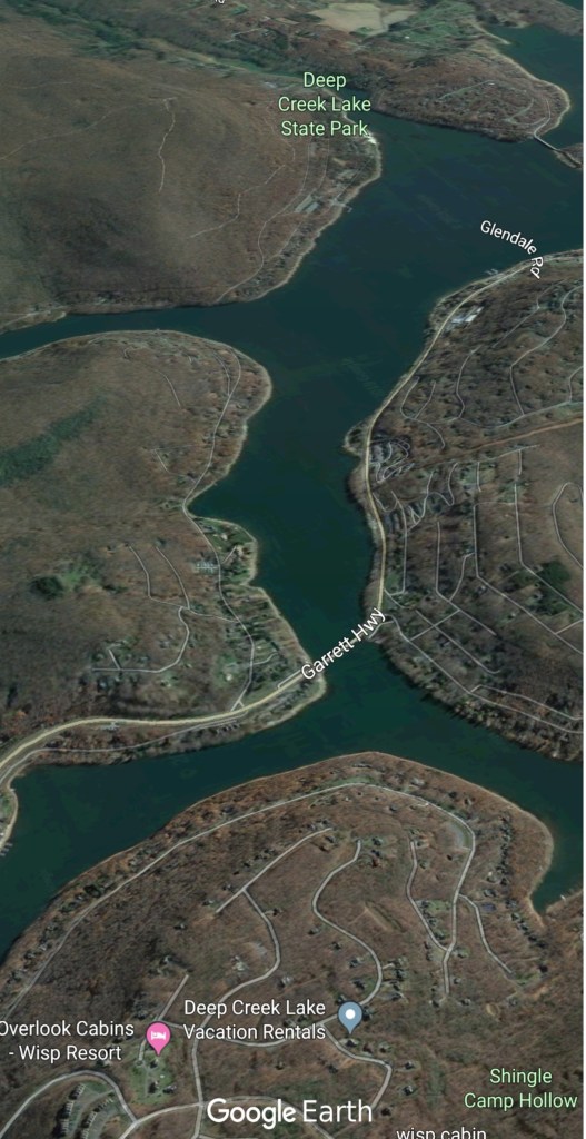
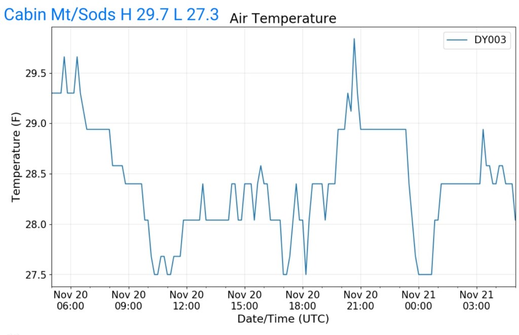
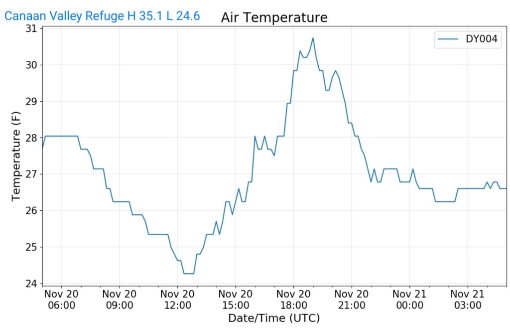
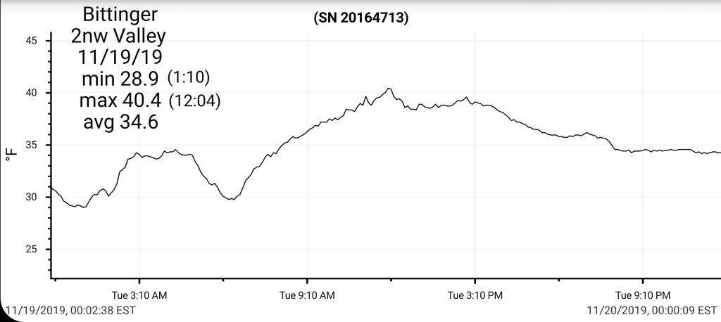
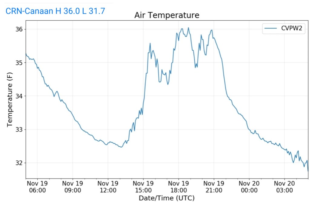
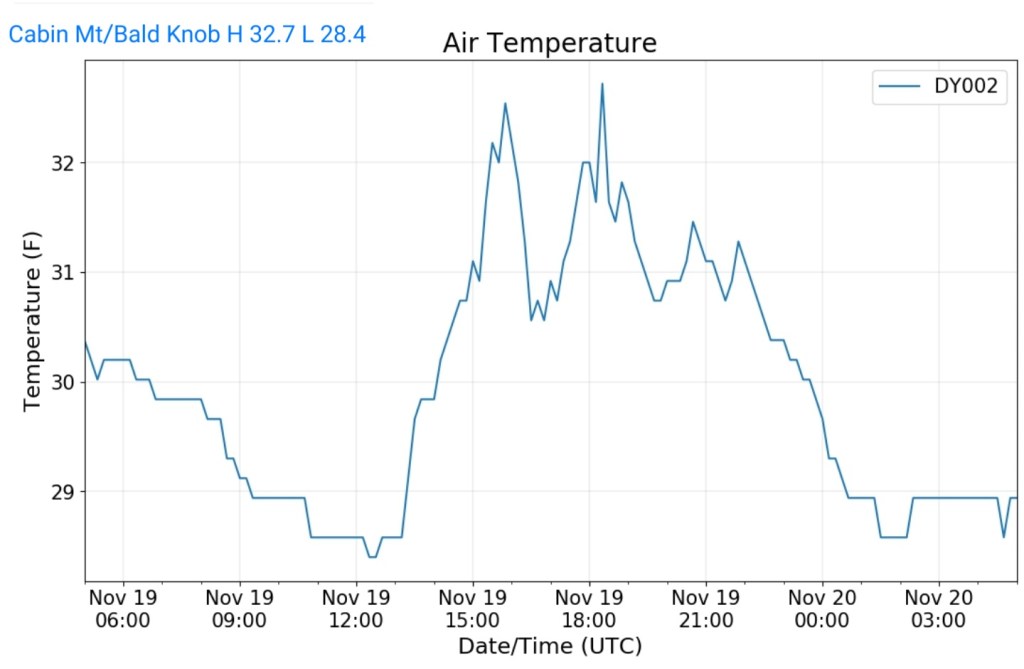
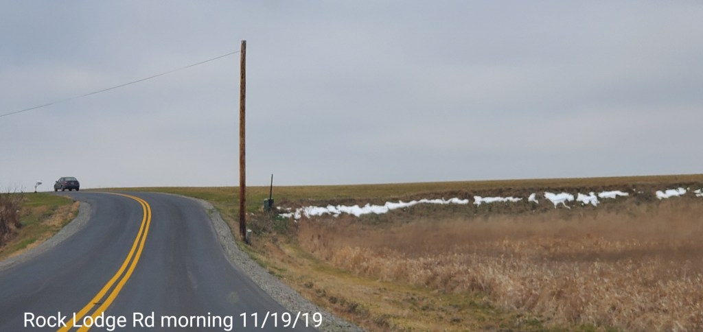
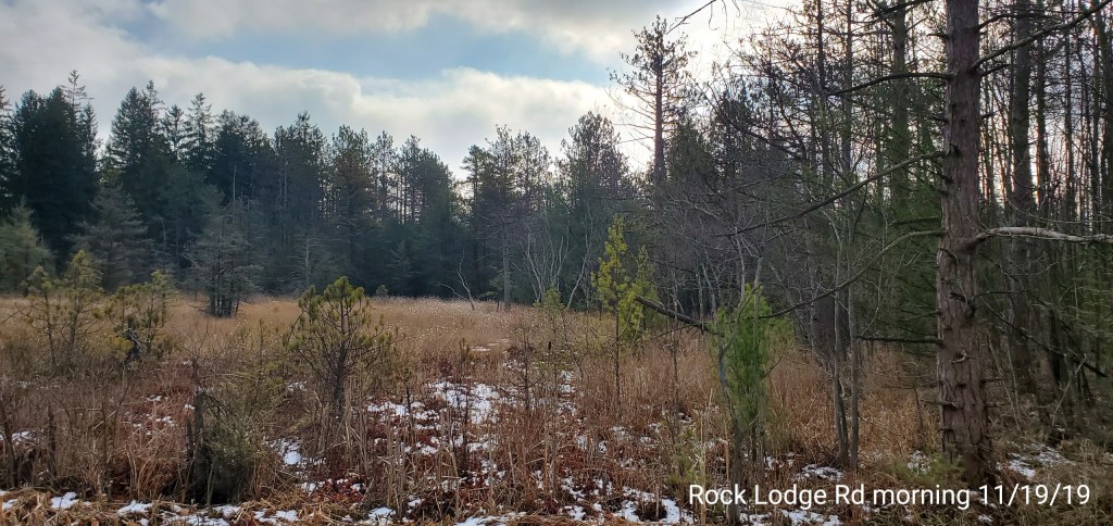
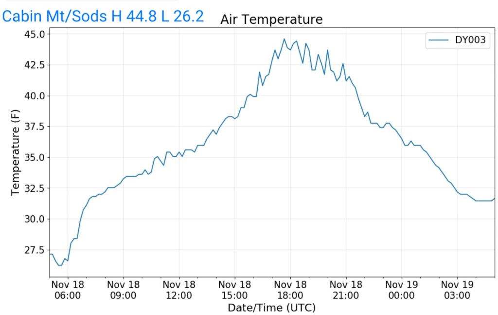
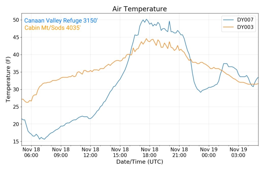
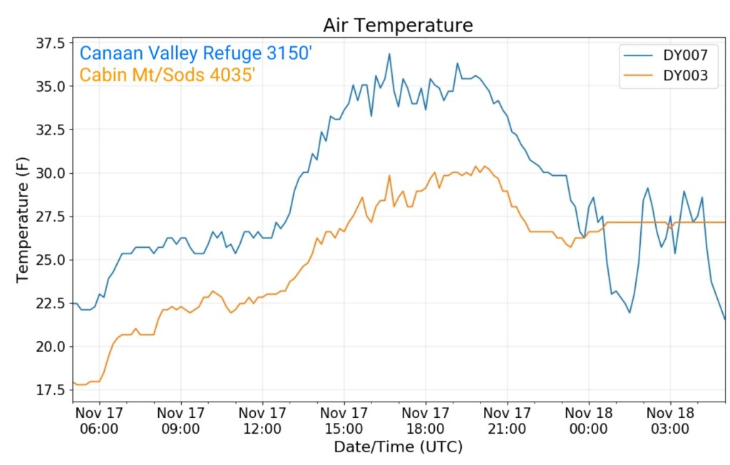
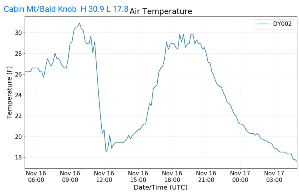
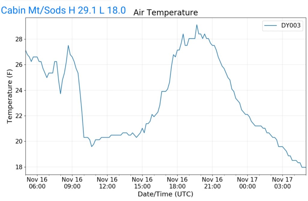
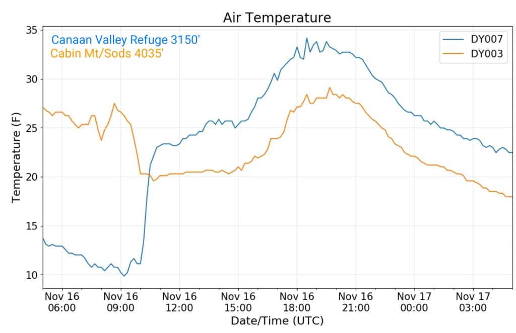
The Valley vs Cabin Mt
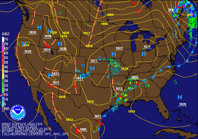
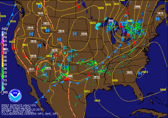
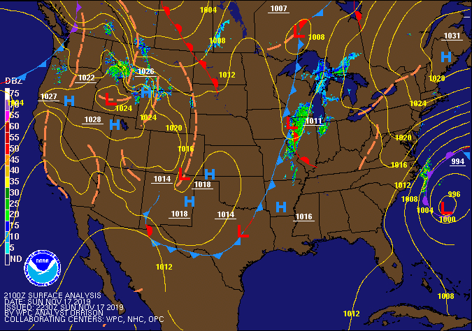
Radar
Snowfall-
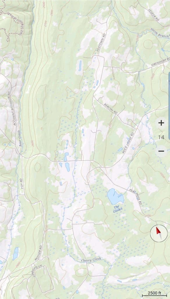
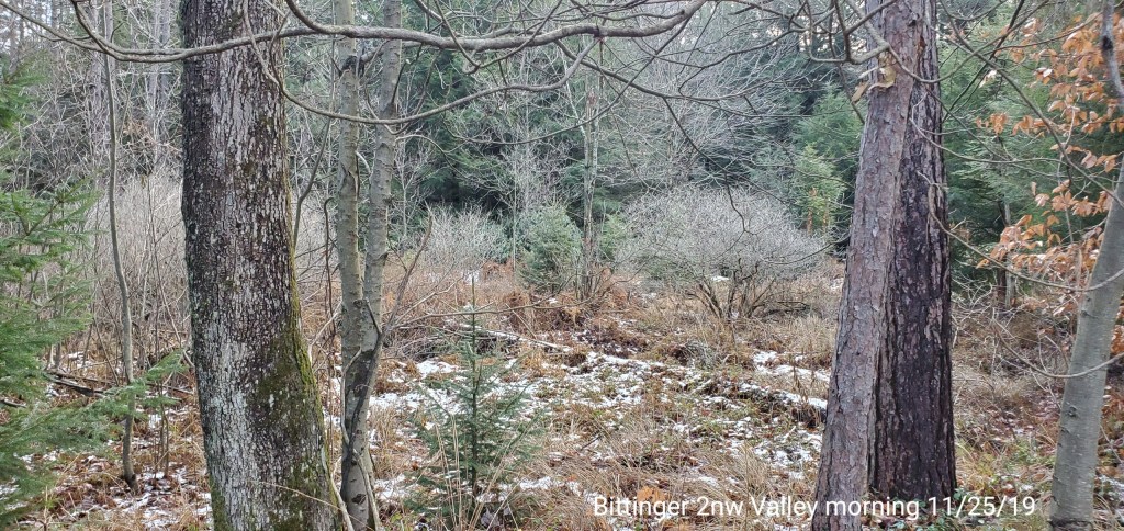
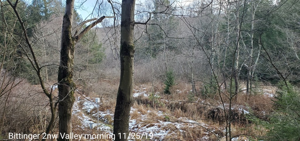
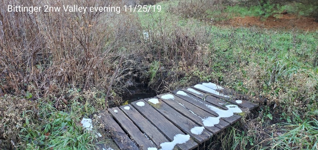
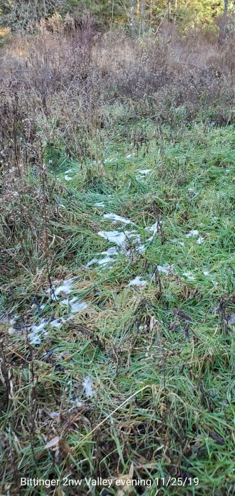
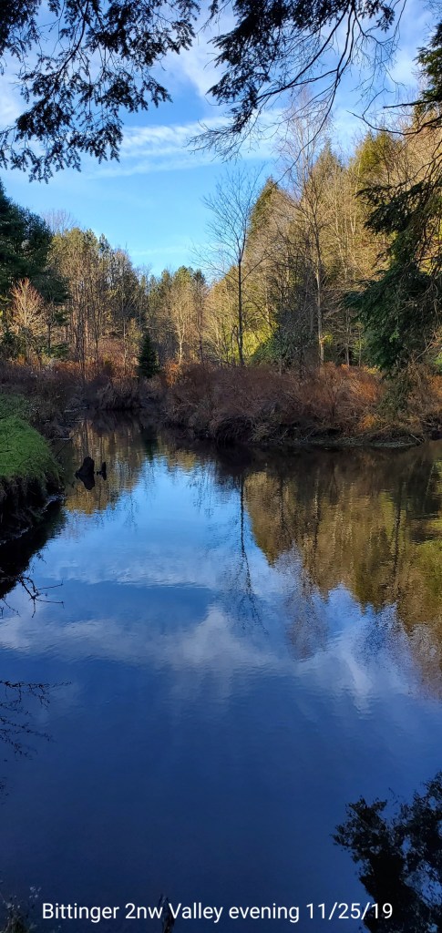
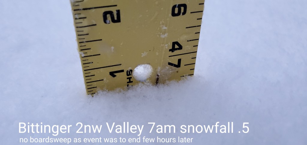
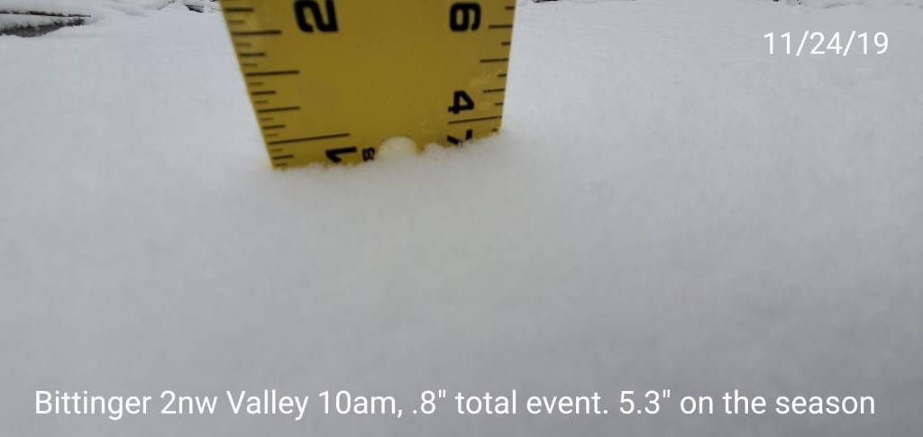
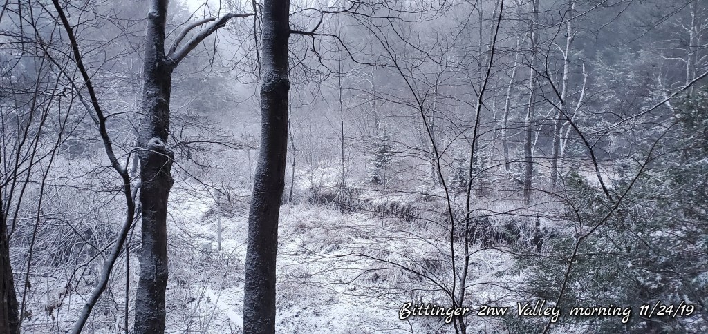
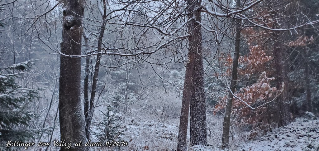
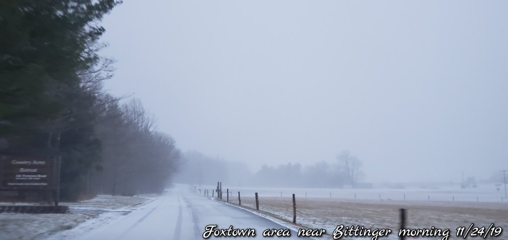
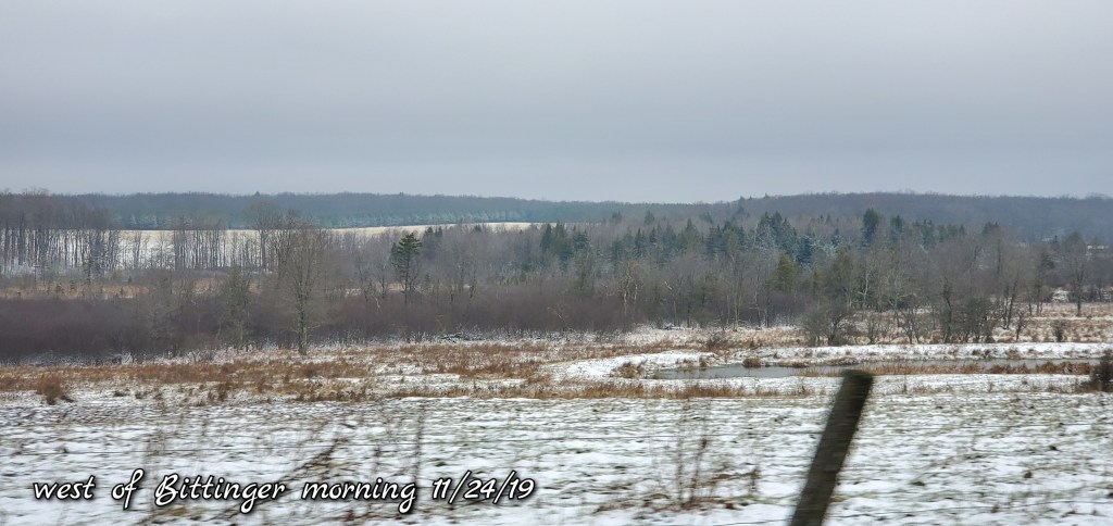
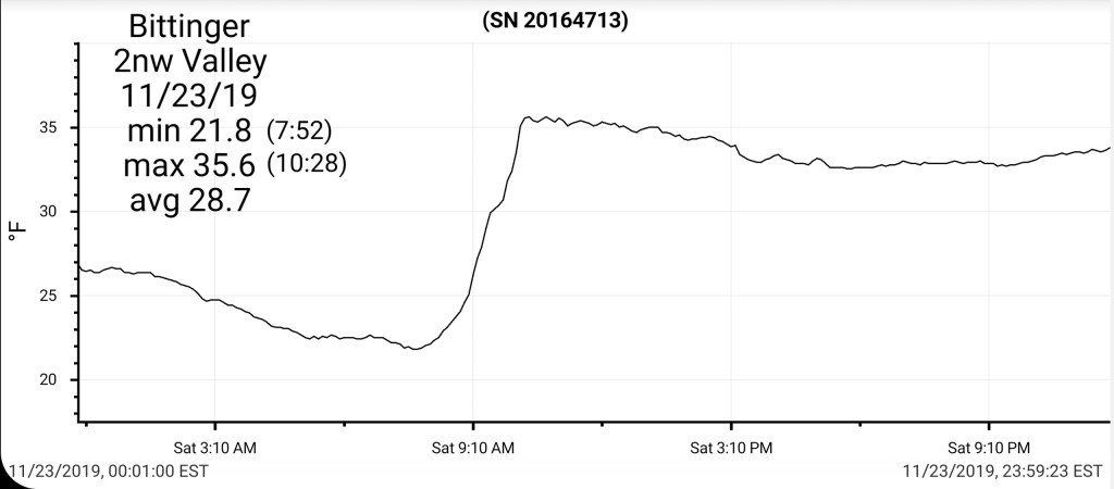
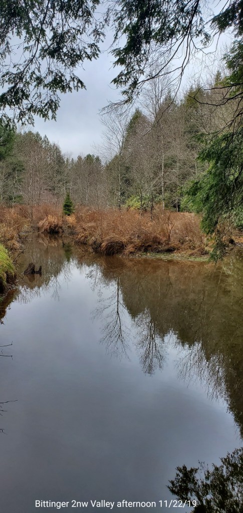
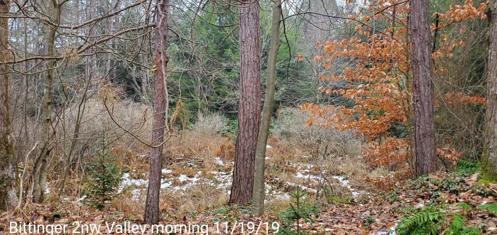
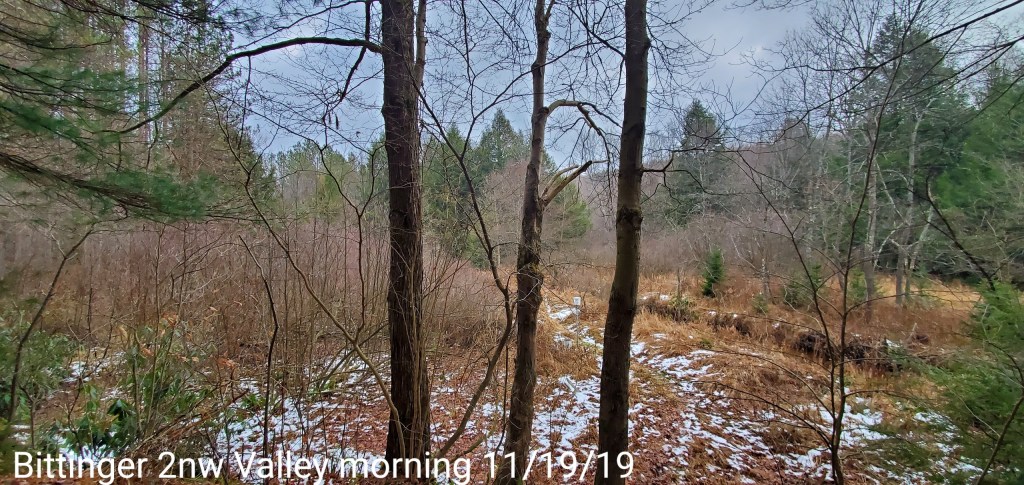
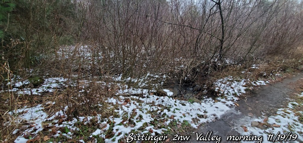
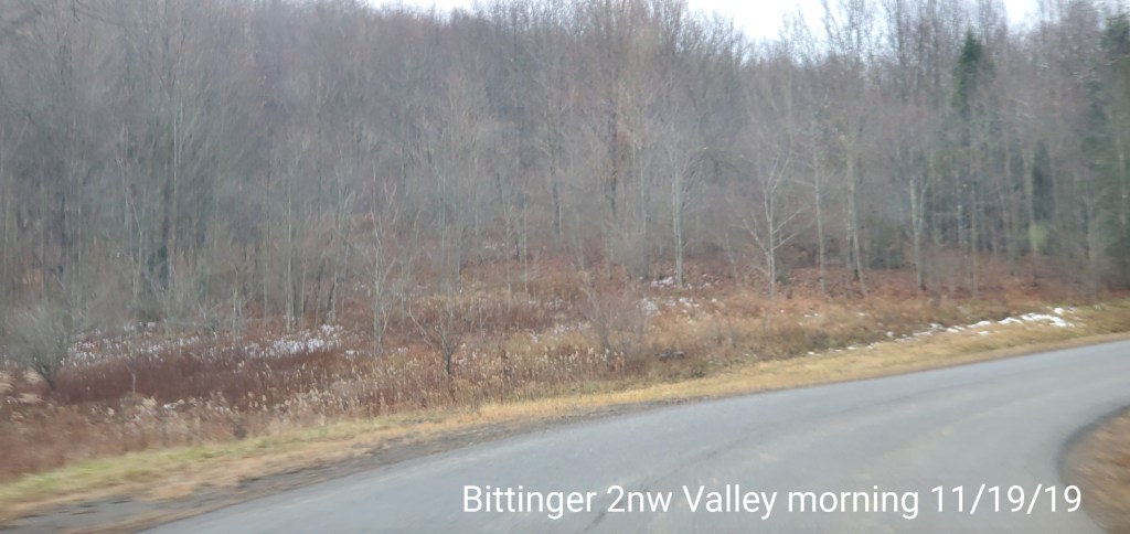
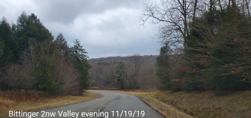
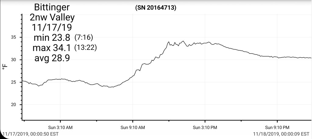
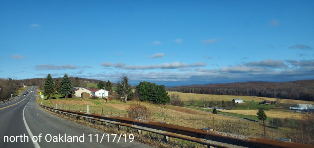
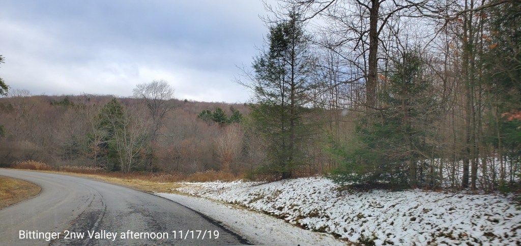
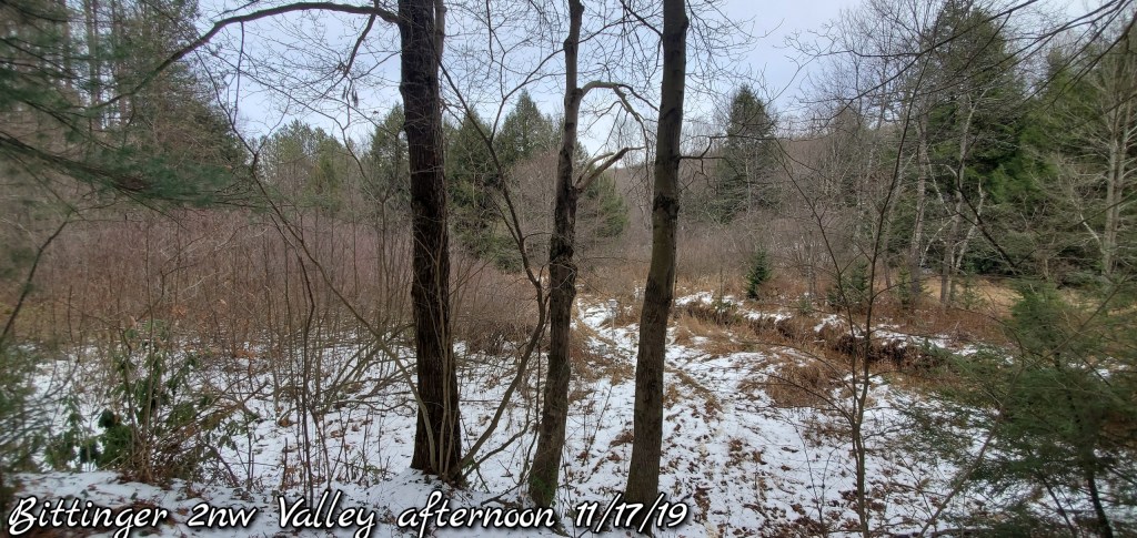
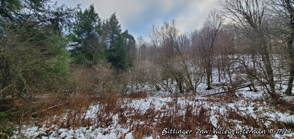
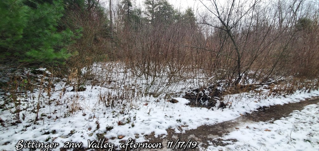
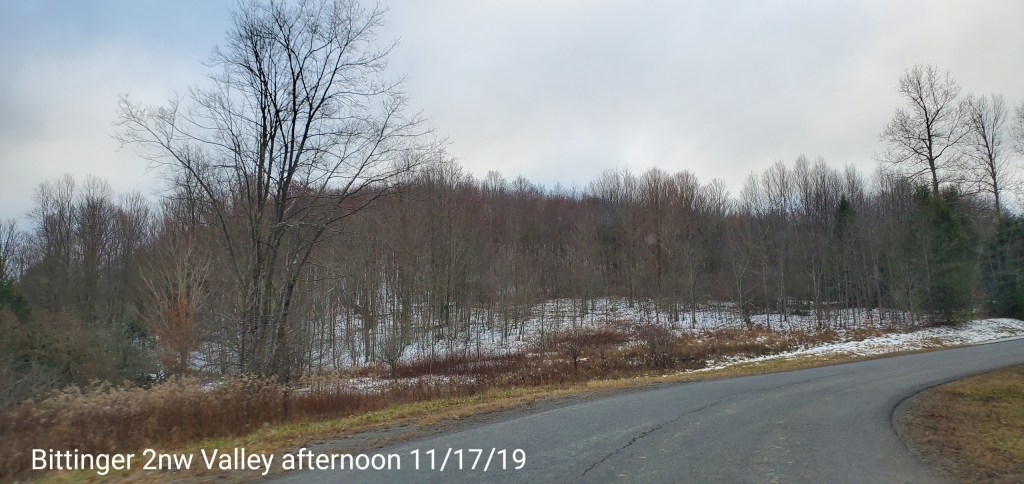
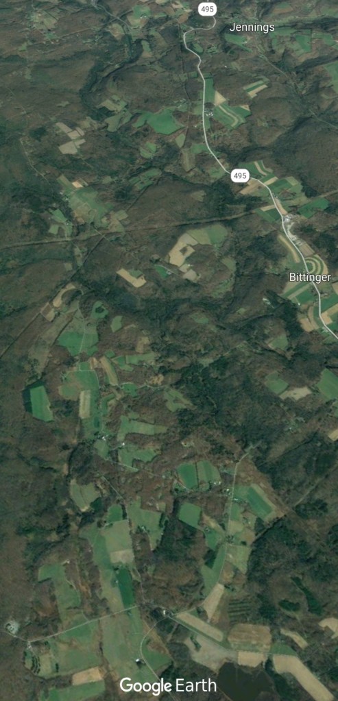
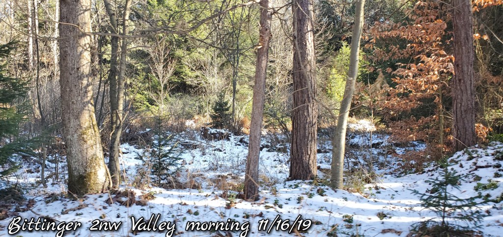
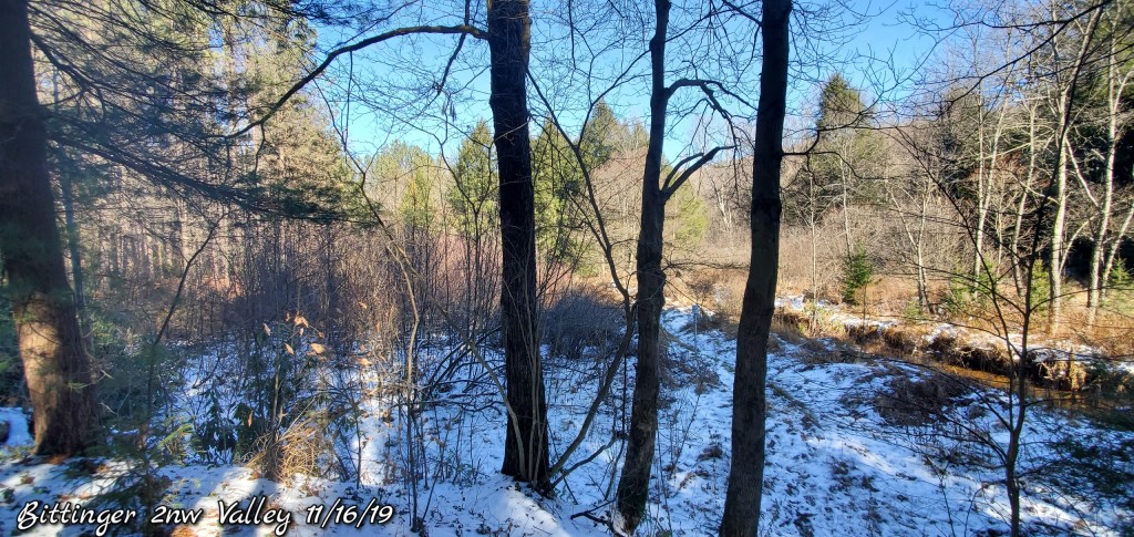
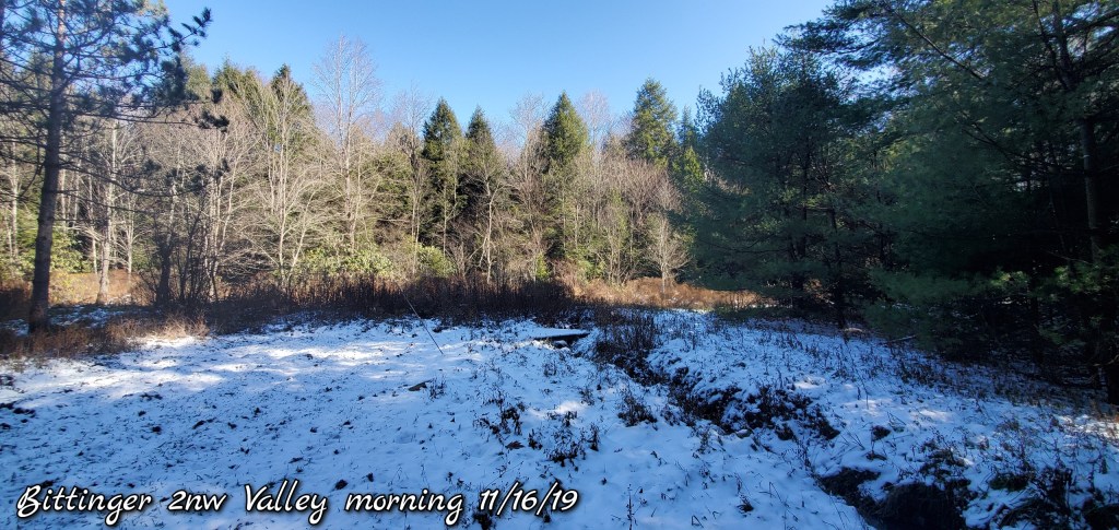
Bittinger 2nw Valley- snow ended by 10am. That’s when the final measurement was took. At 7am .5″ had fell, and an additional .3 occured after 7am for an event total of .8″, bringing the season to date total at 5.3″
Canaan Heights/Davis 3SE 1.8″ event total for a season to date total of 8.9″
Satellite
Flow
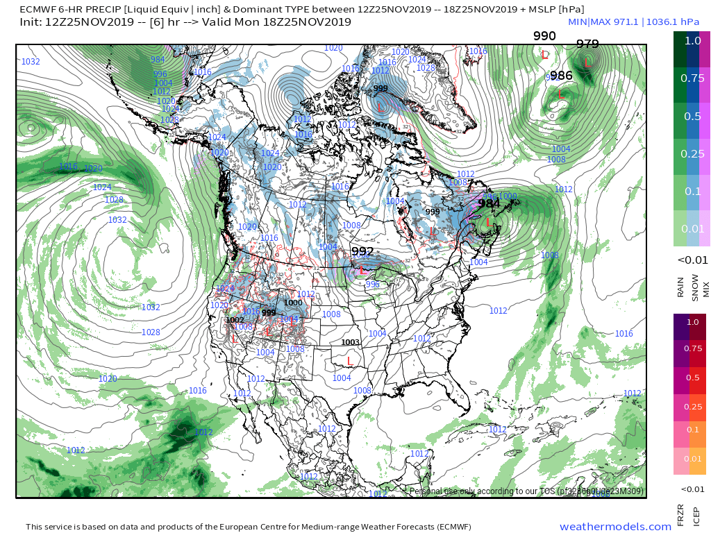
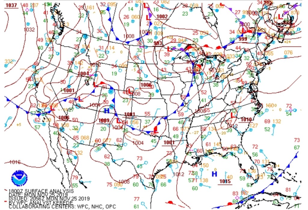
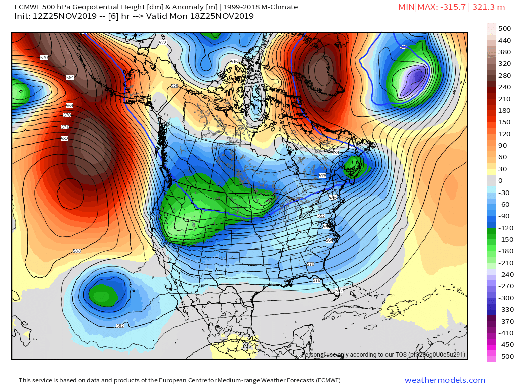
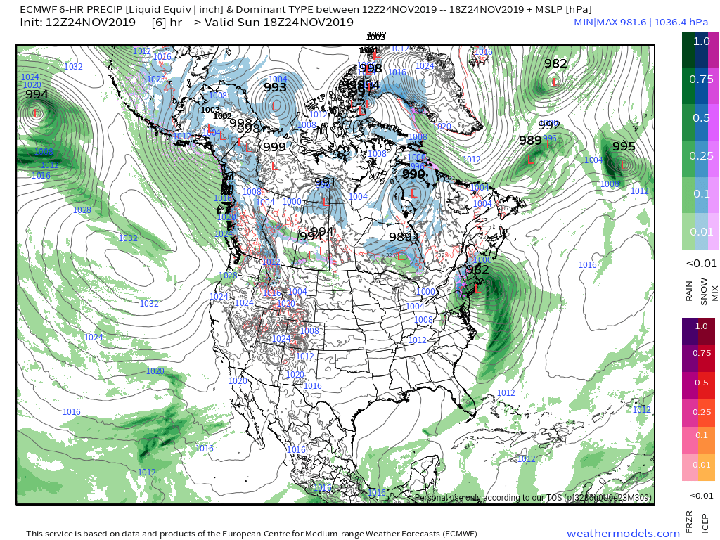
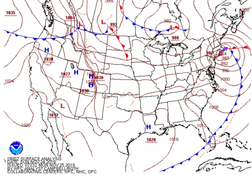
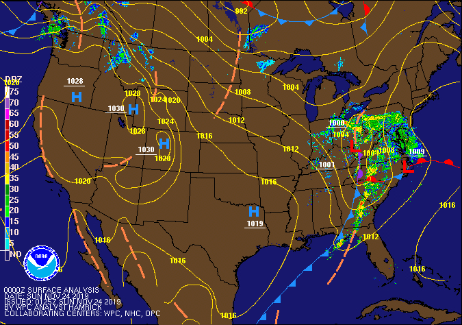
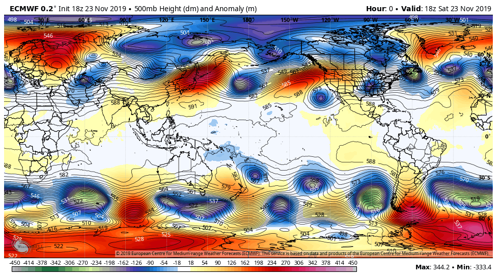
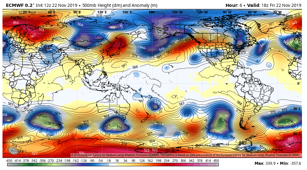
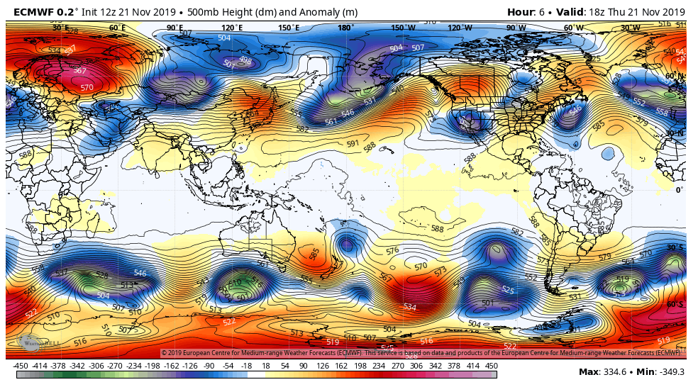
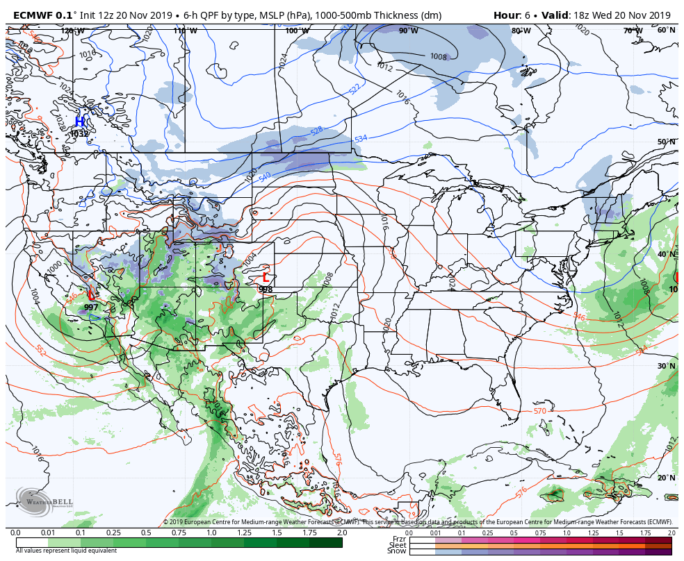
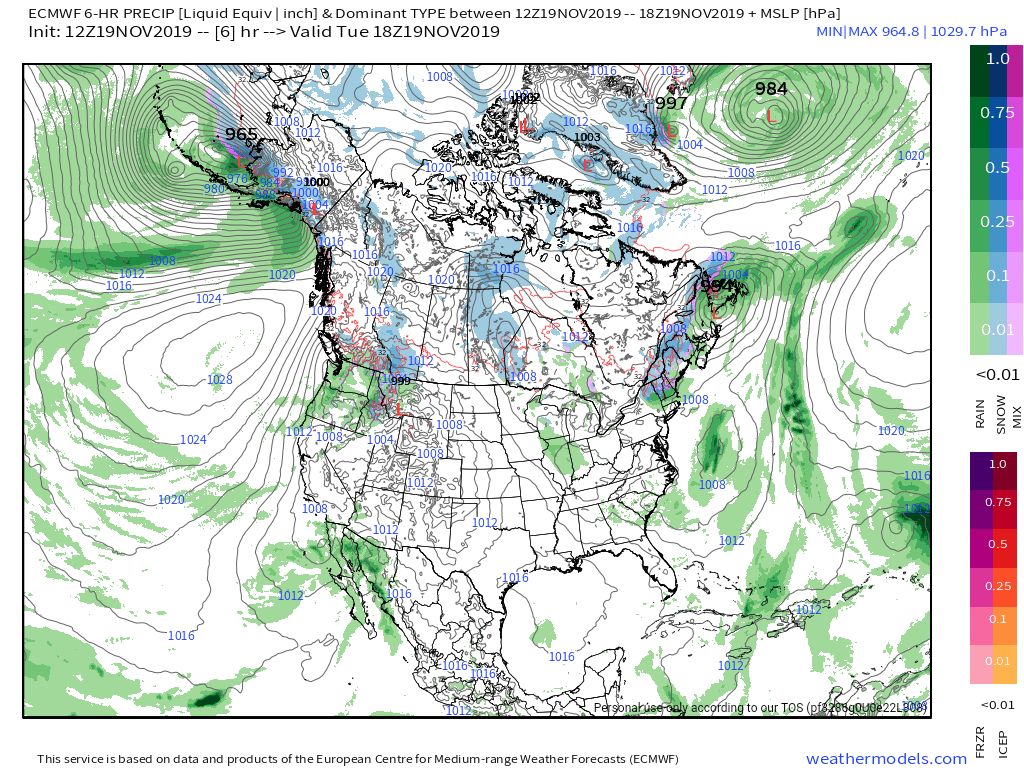
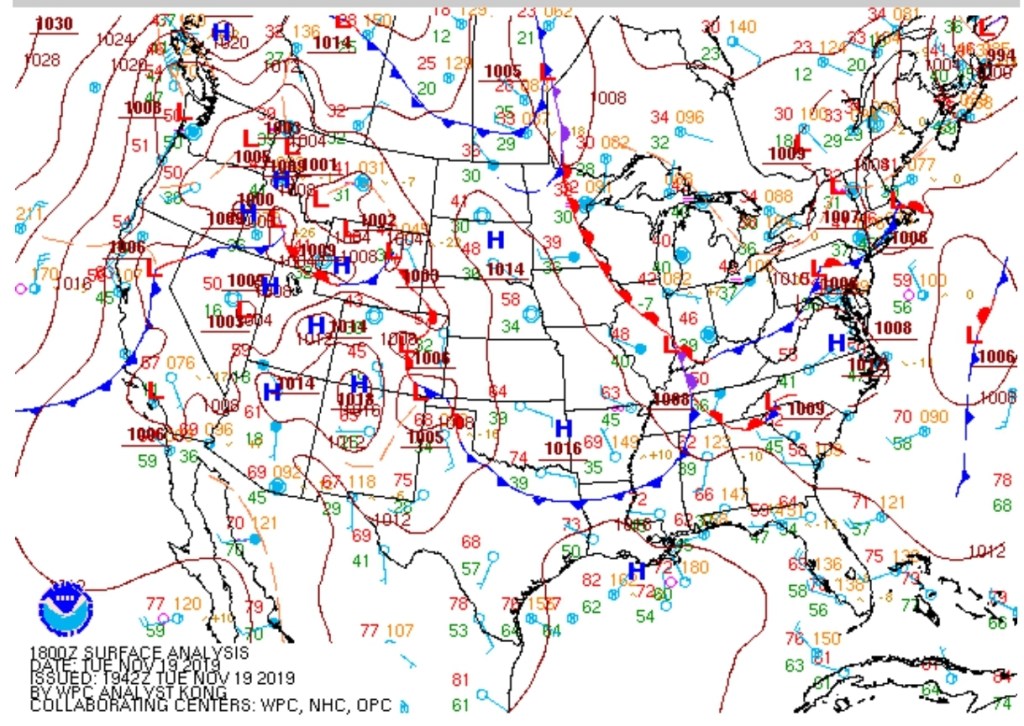
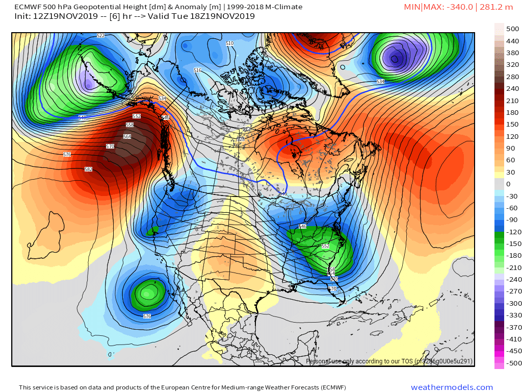
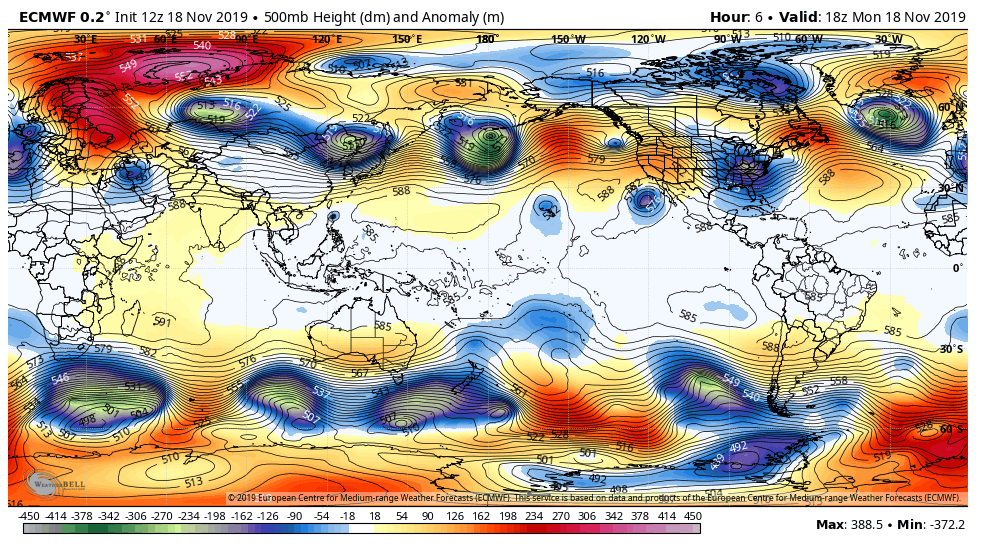
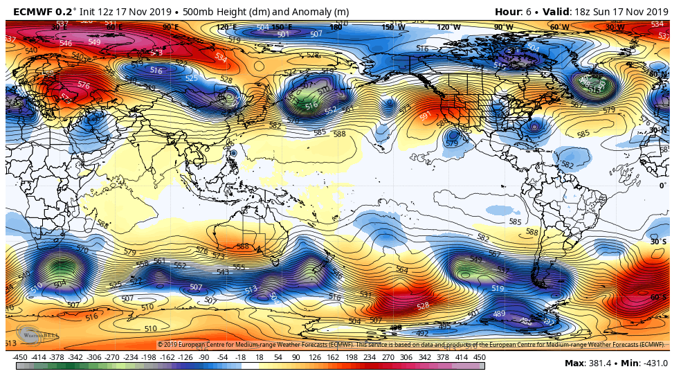
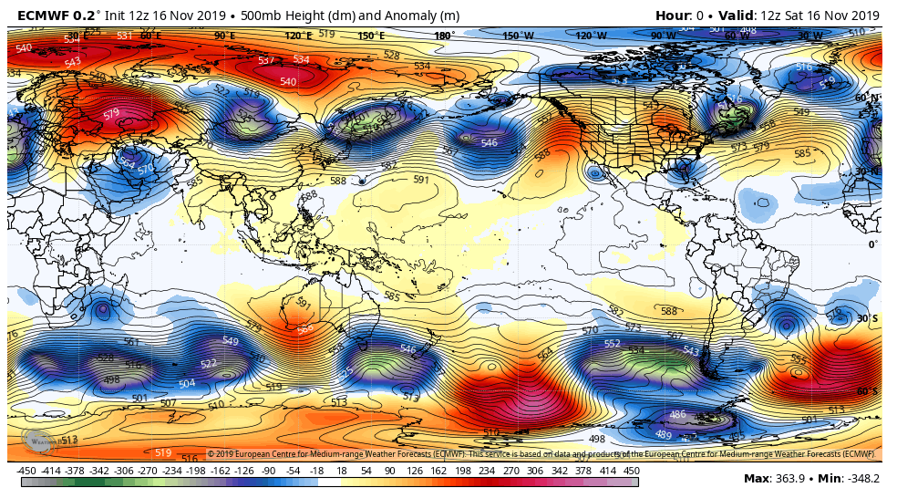
Surface features and 500mb height anomalies and flow
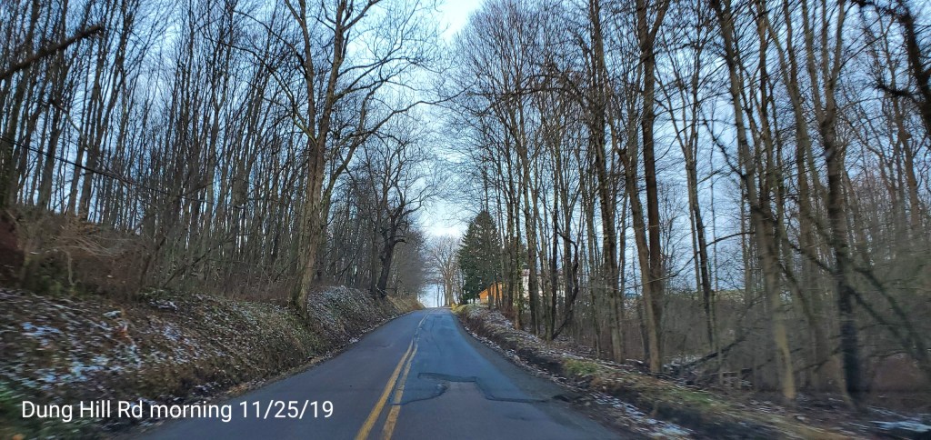
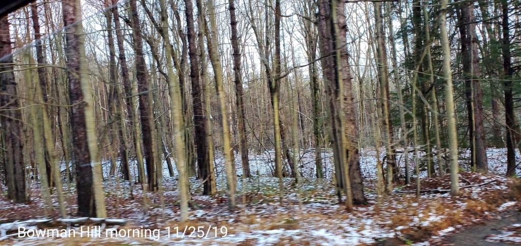
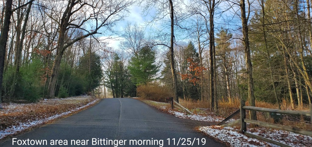
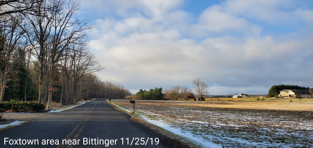
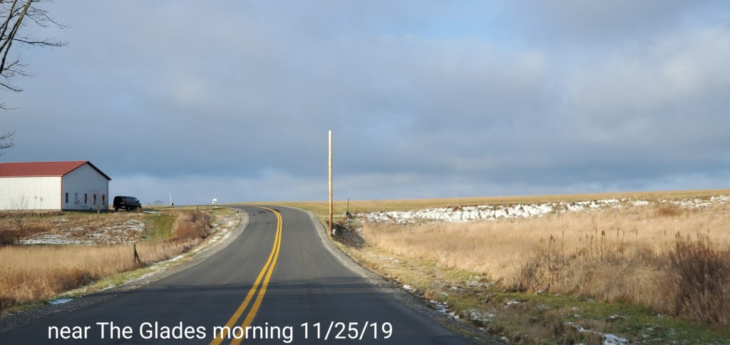
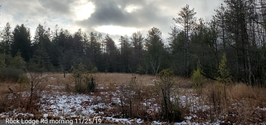
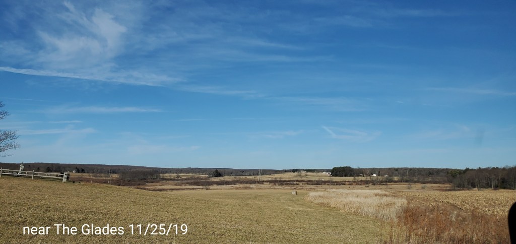
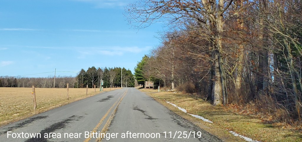
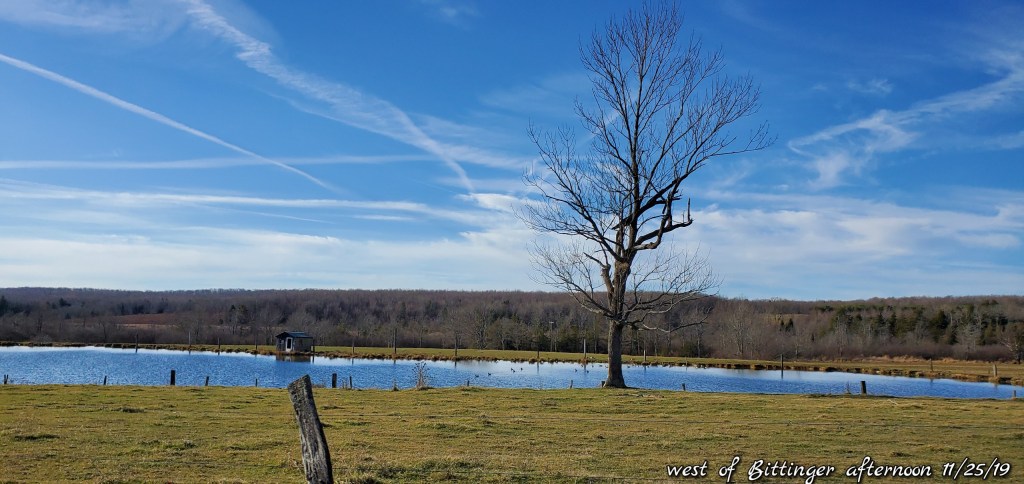
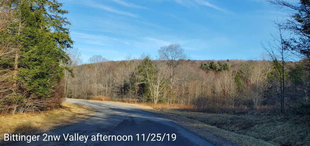
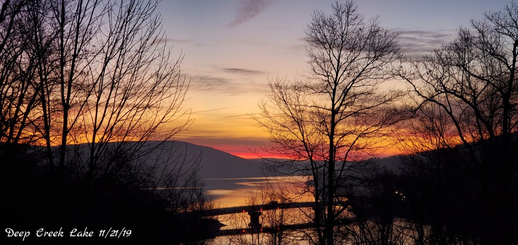
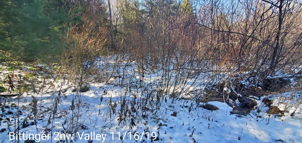
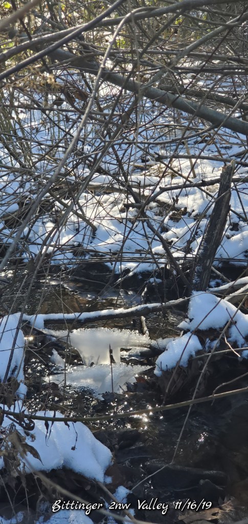
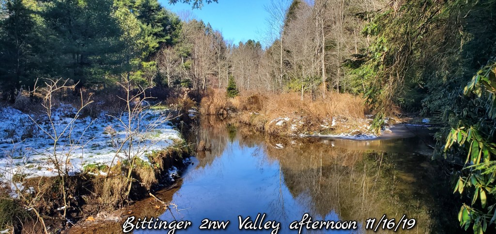
Pics today-
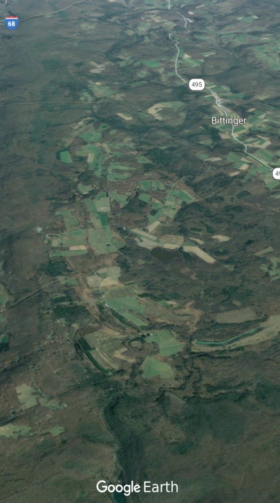
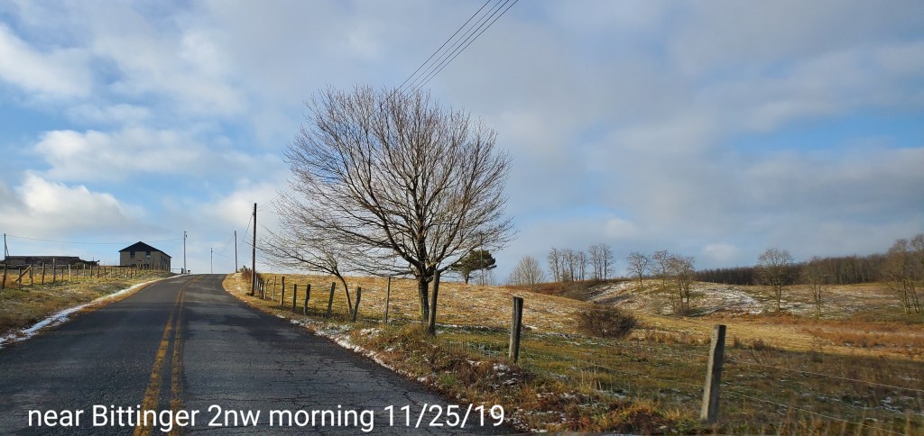
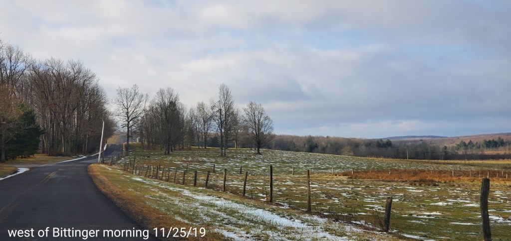
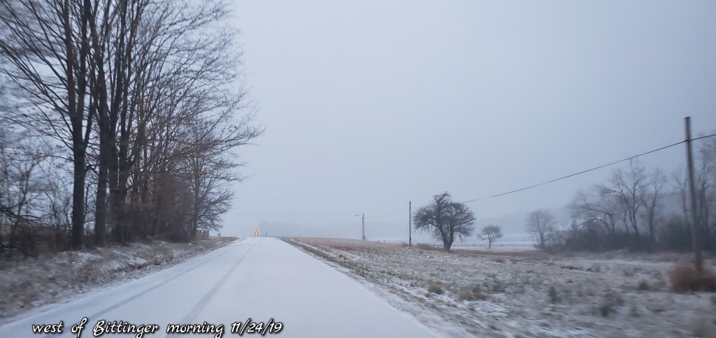
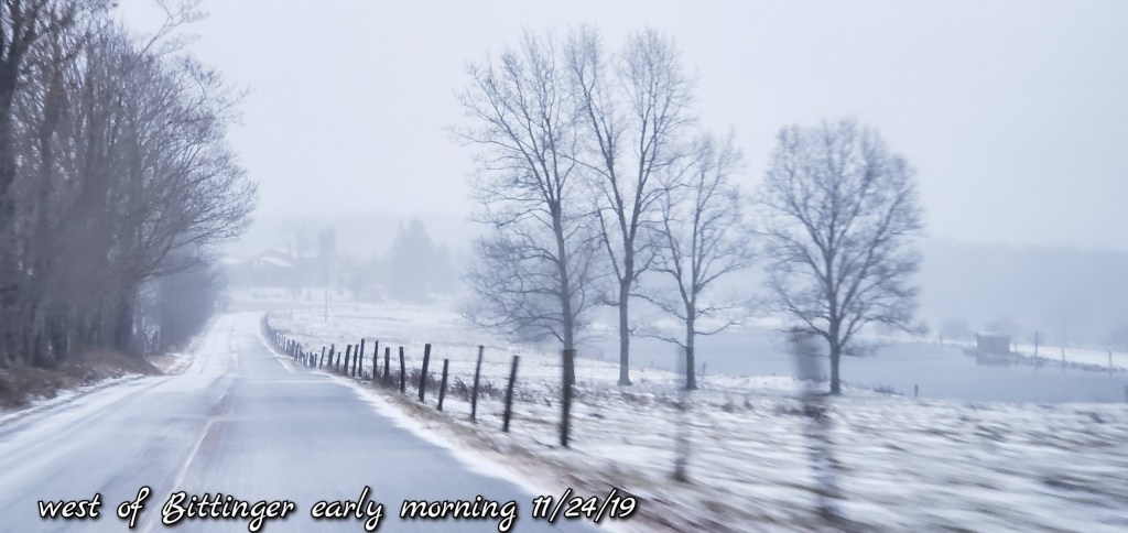
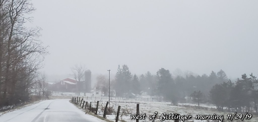
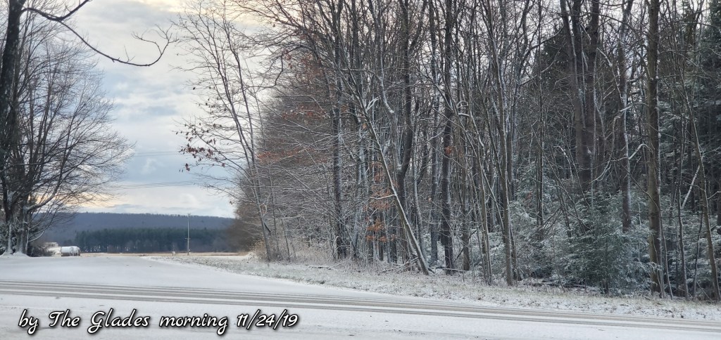
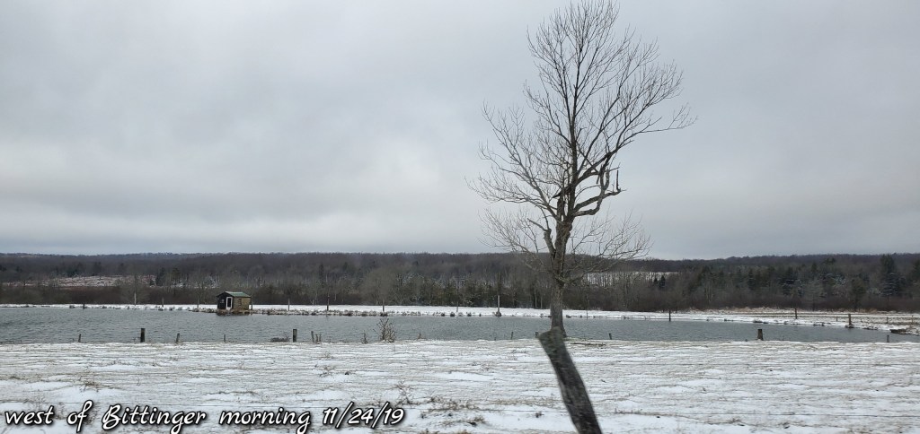
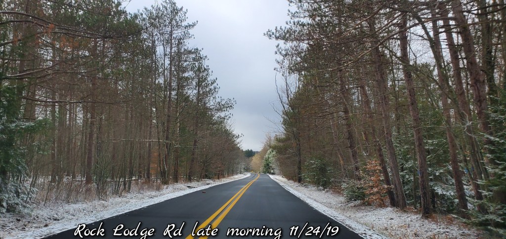
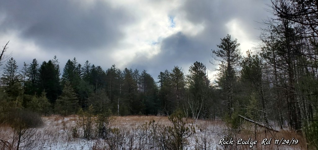
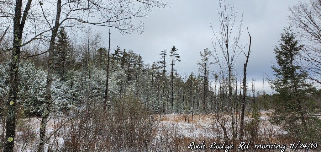
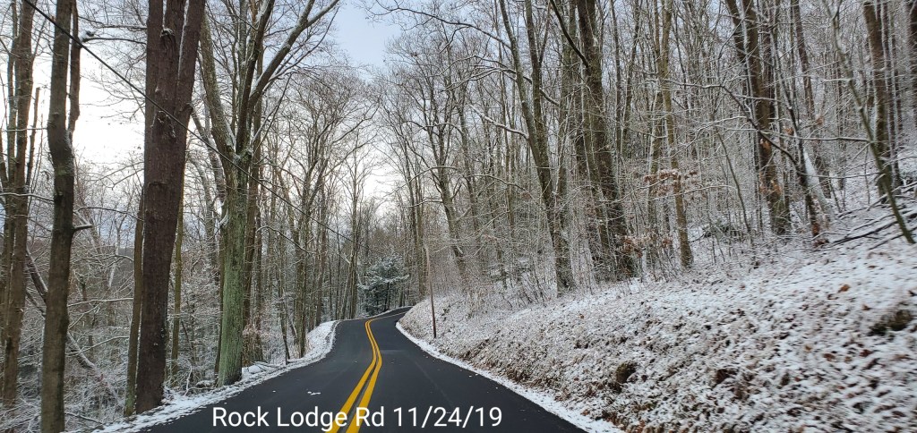
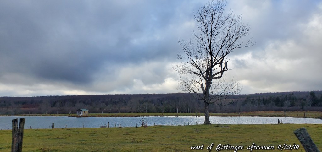
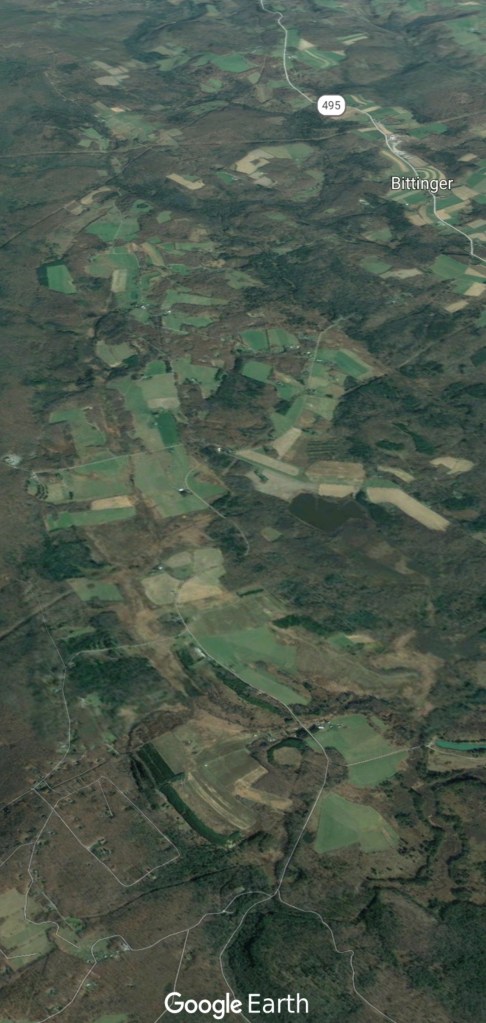
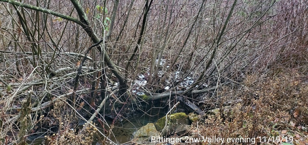
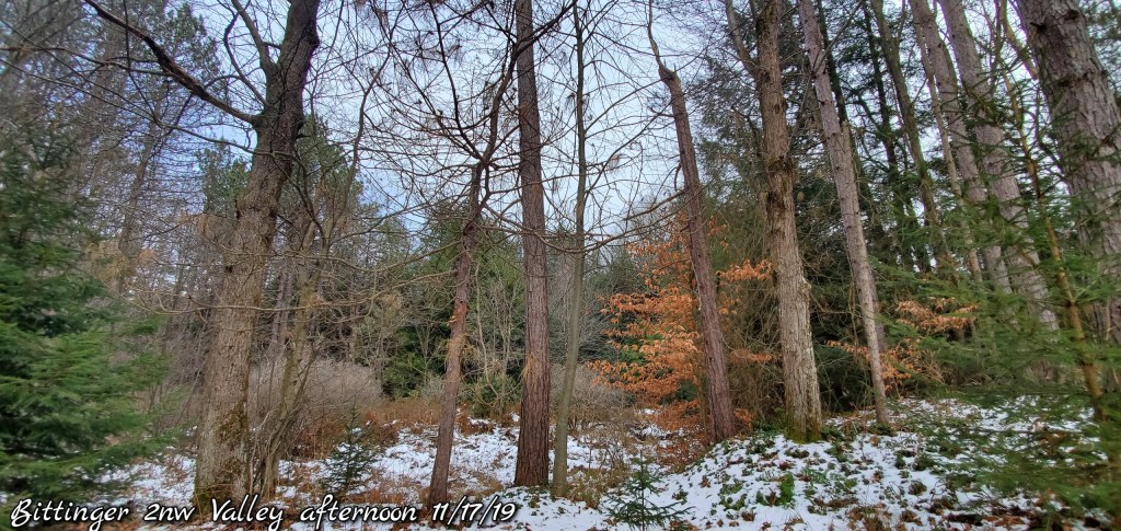
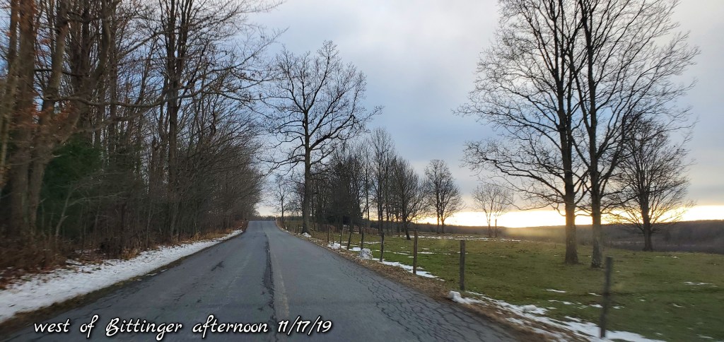
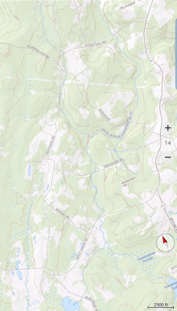
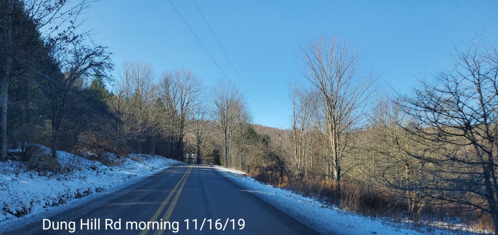
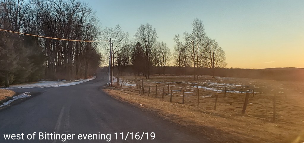
Bittinger area …
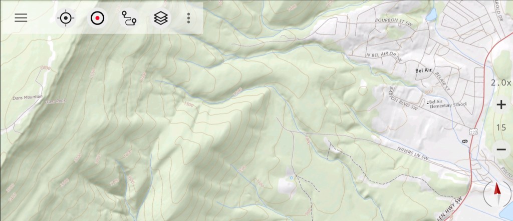
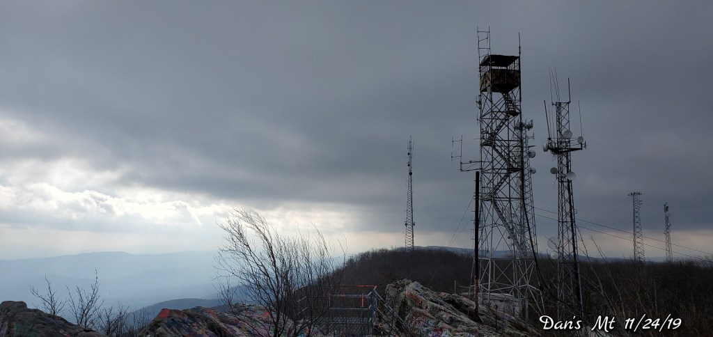
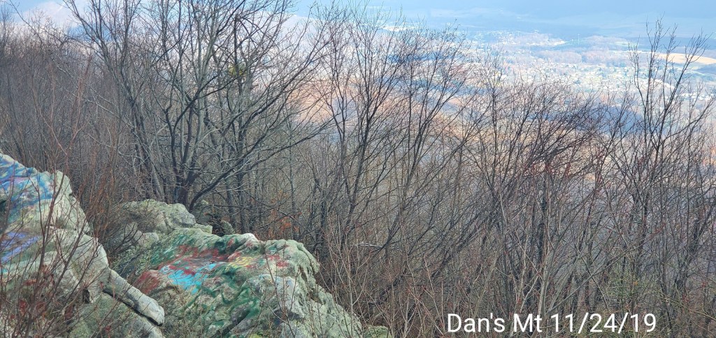
Dan’s Rock on Dan’s Mountain
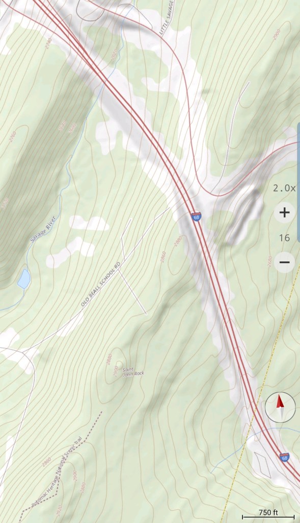
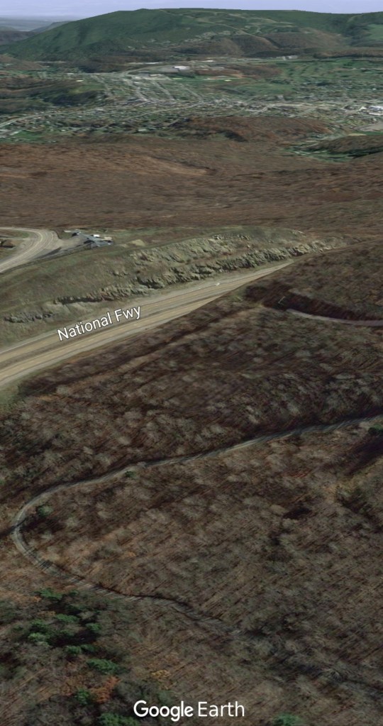
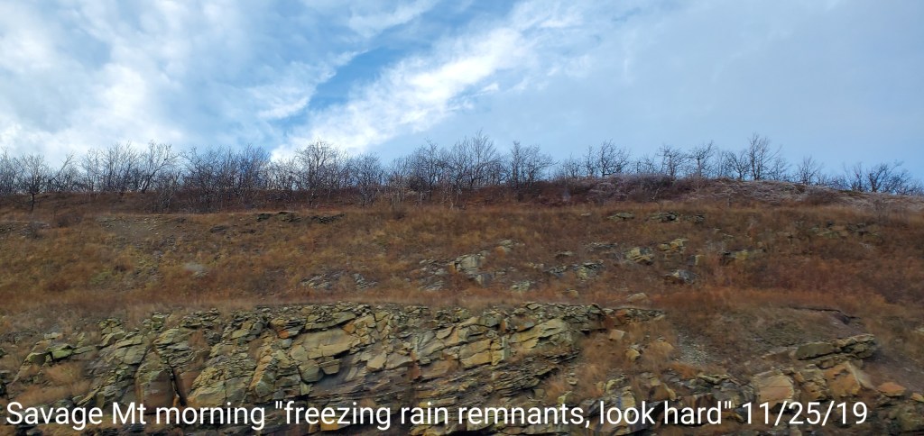
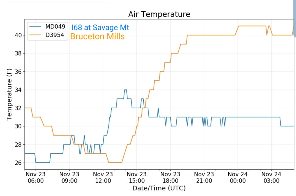
No snow here, but a little ice left over the east side of Dan’s Rock on branches from last nights freezing rain on the east side. Hard to tell on pics. Will try to capture on Savage Mt where some remains, more visible.
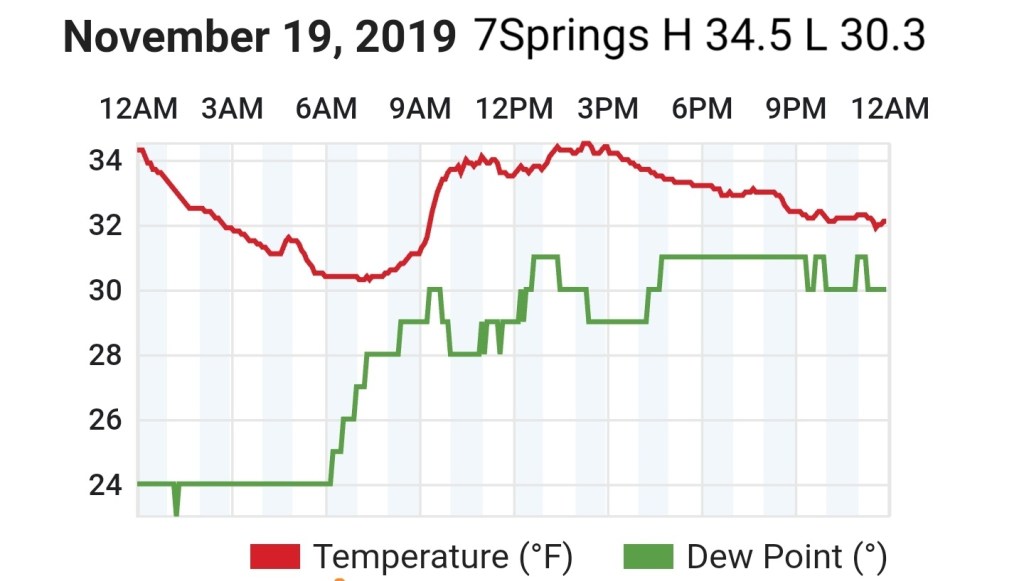
Sun to start, quickly clouding over by mid morning. East wind, held temps steady. Rain late and that was some freezing along Savage Mt, and likely some other spots on the eastern ridges as well.
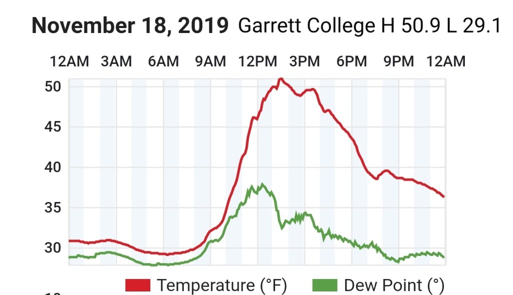
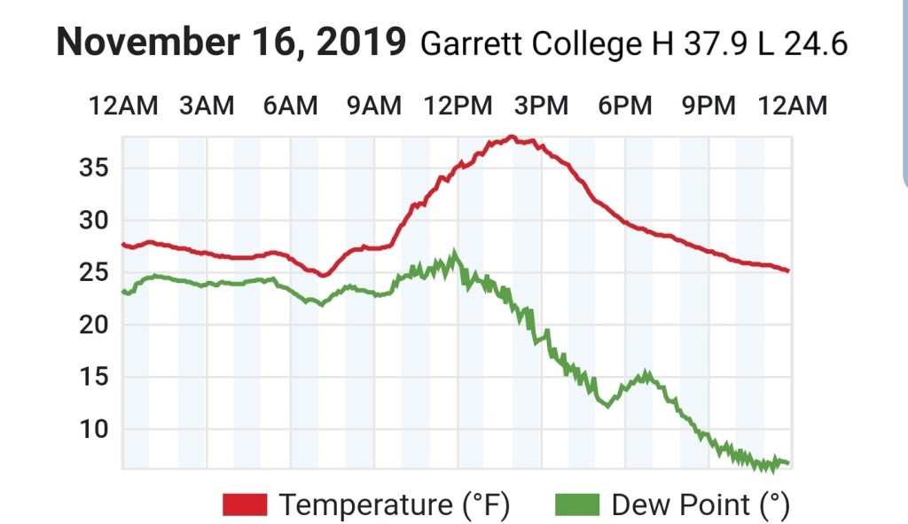
Temps today
3km Nam and Icon do well in the east flow situations
Savage Mt vs Bruceton Mills. Savage Mt was an area that saw some freezing rain.
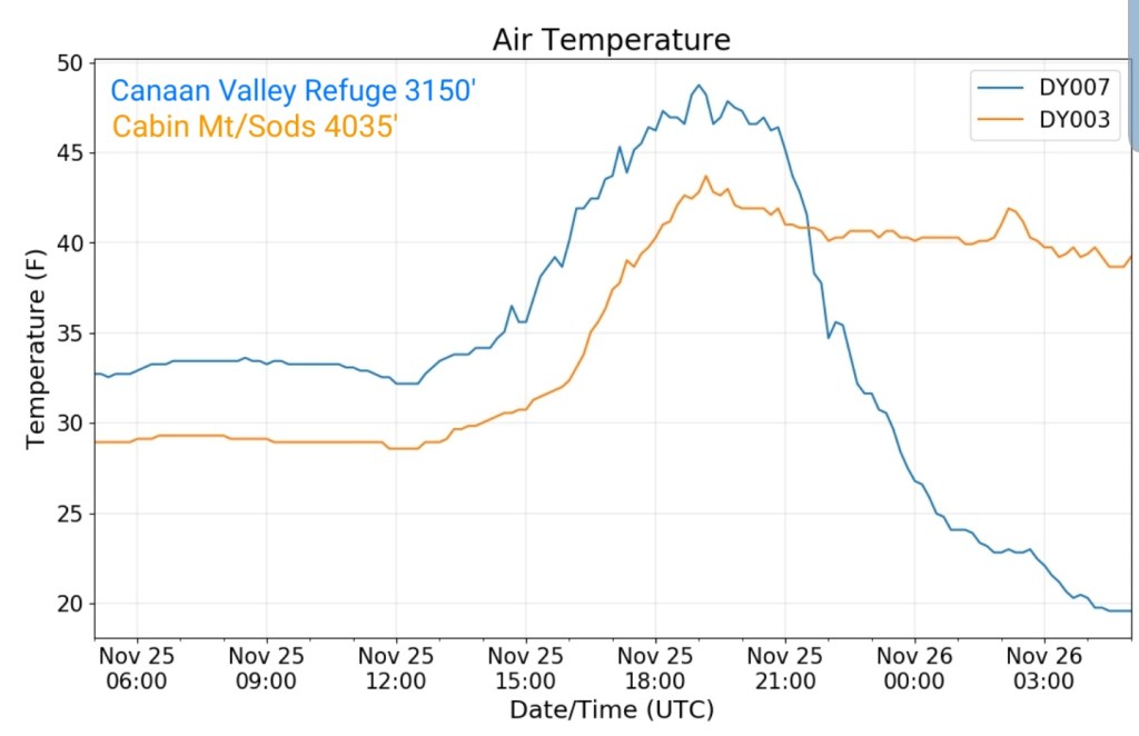
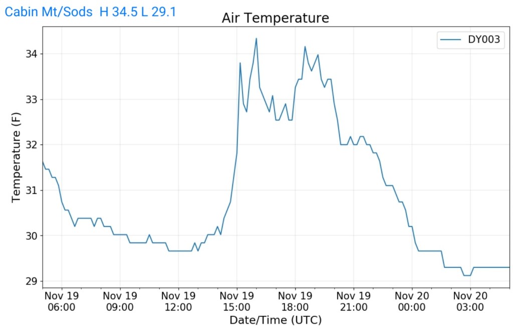
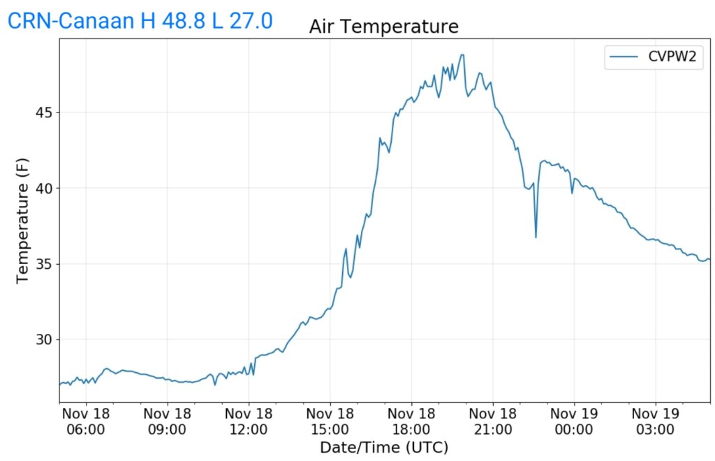
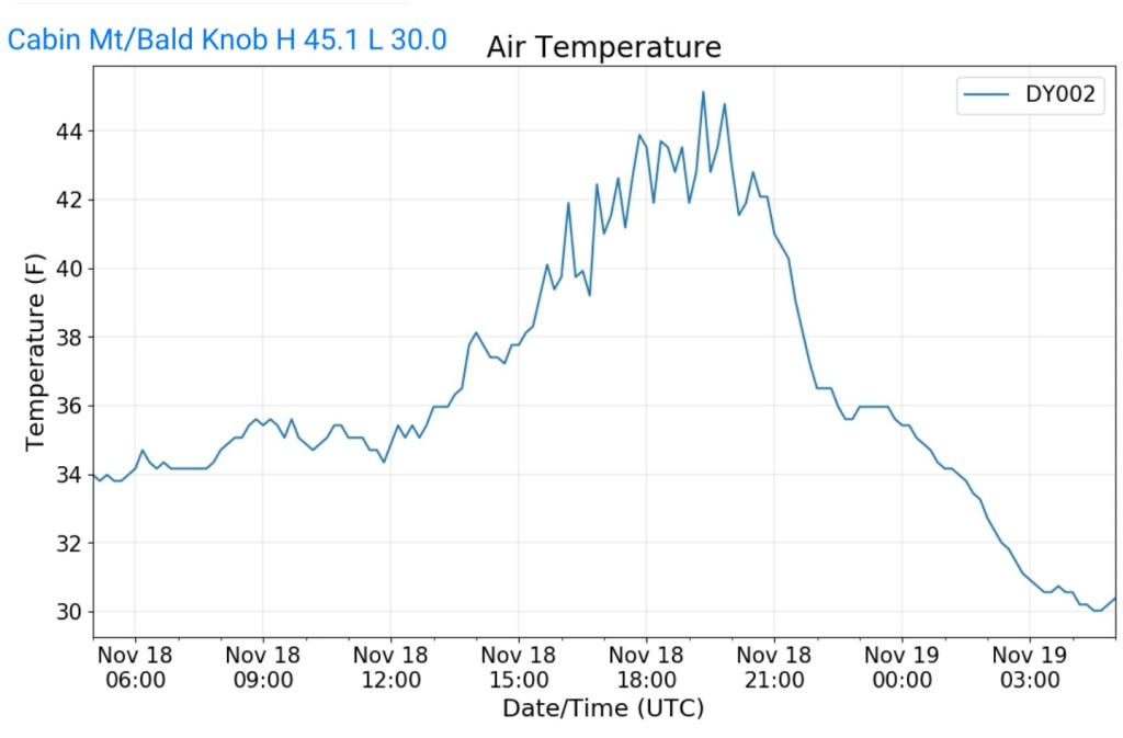
The Valley vs Cabin Mt
Radar
Satellite
Flow
Surface features and 500mb height anomalies and flow
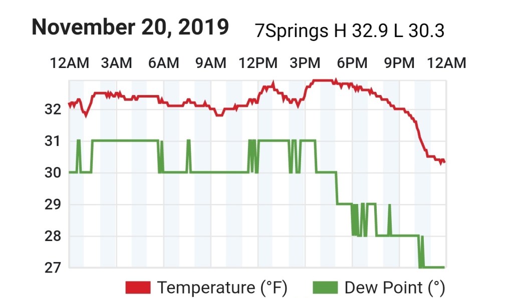
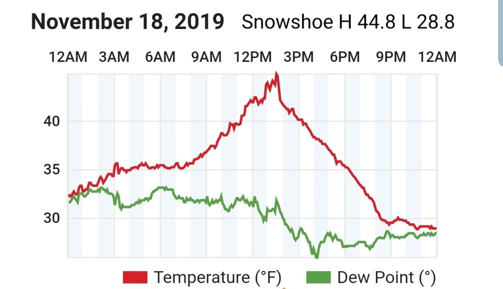
Mainly cloudy, some light precip after nightfall, some high Wv ground time, some localized light snow, localized patchy drizzle and pockets of freezing drizzle. The freezing line reached about 3000′ elevation, however some areas saw pockets of light fine snow with temps +32 and had a light dusting, while some areas saw temps under 32 with freezing drizzle. All extremely light.
Temps today
The Valley vs Cabin Mt
Radar
Satellite
Flow
Surface features and 500mb height anomalies and flow
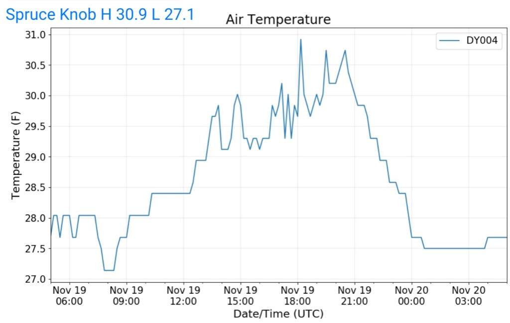
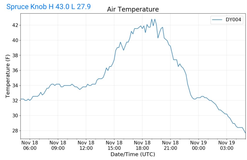
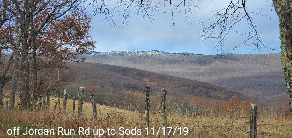
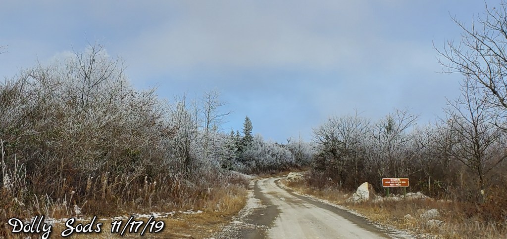
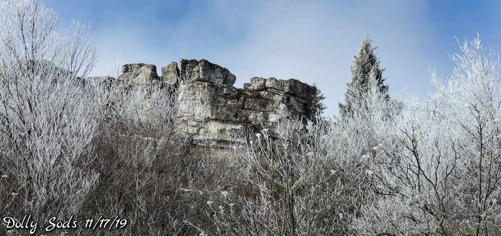
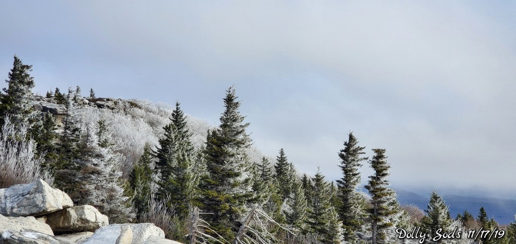
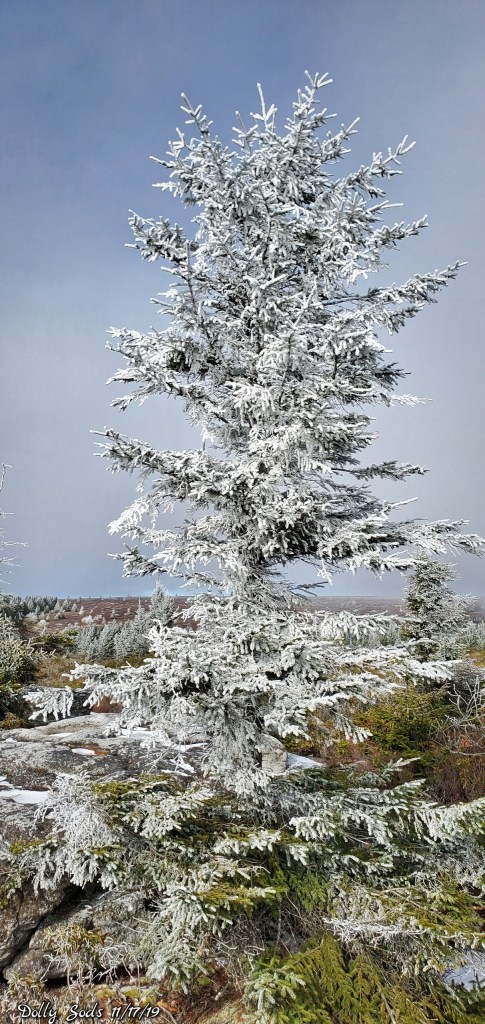
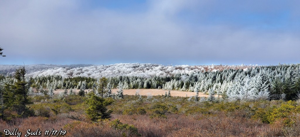
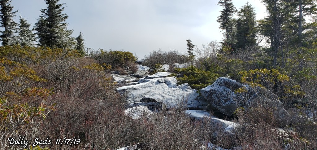
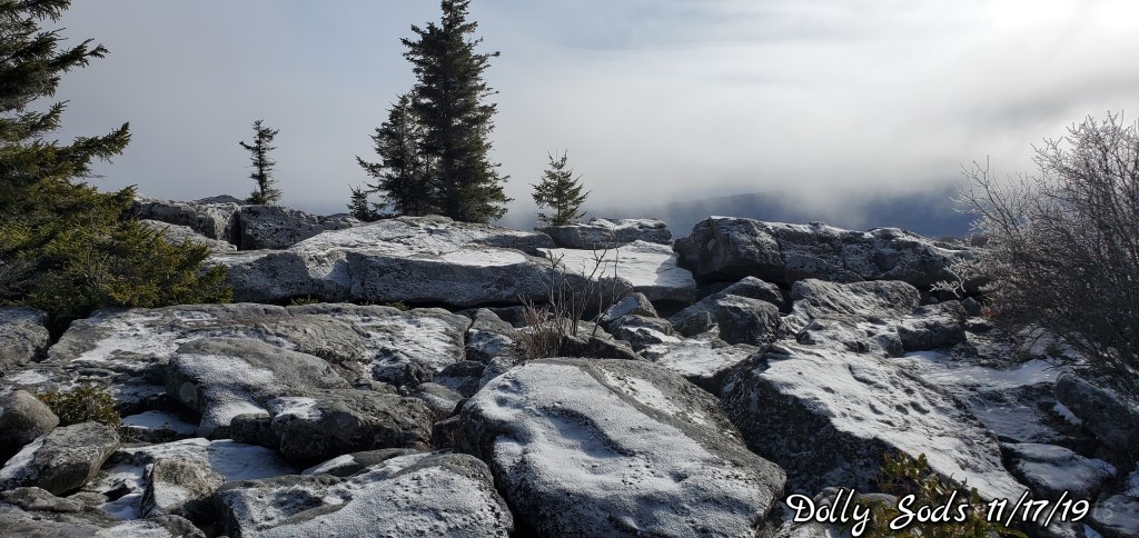
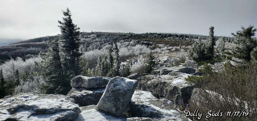
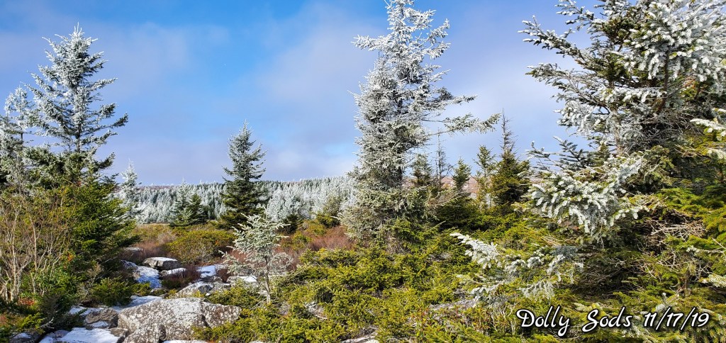
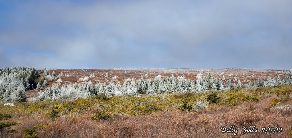
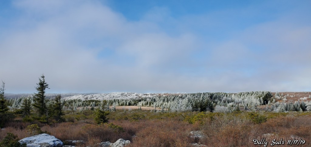
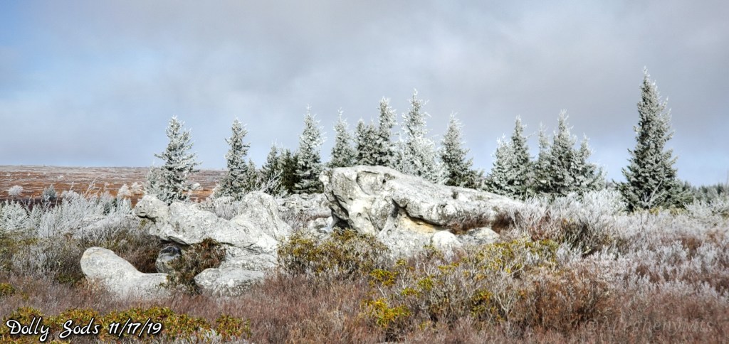
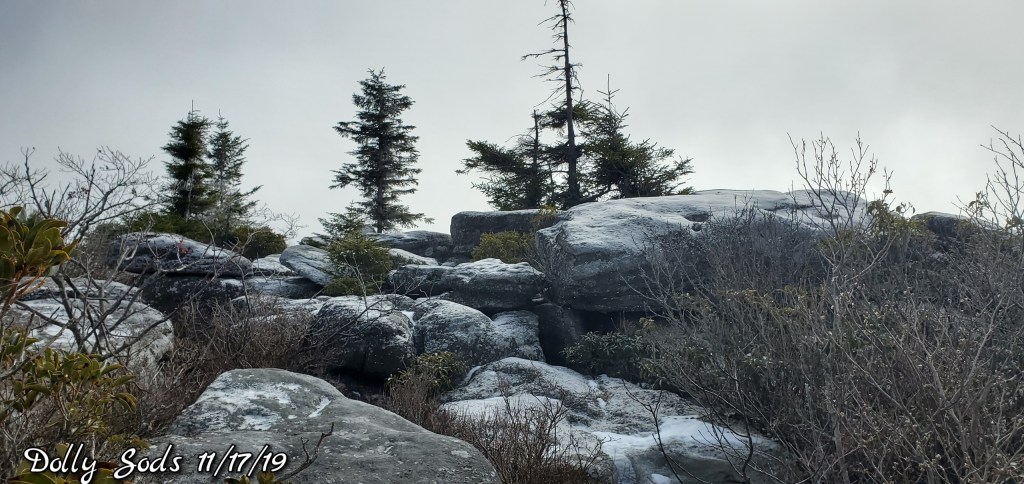
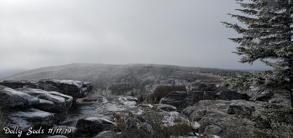
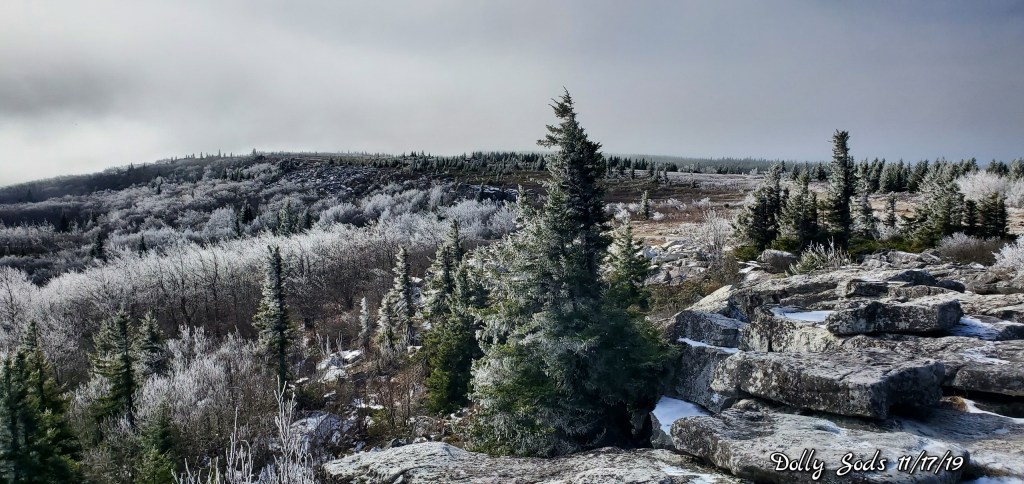
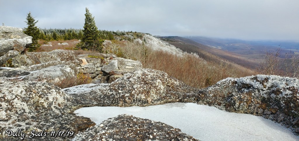
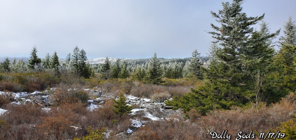
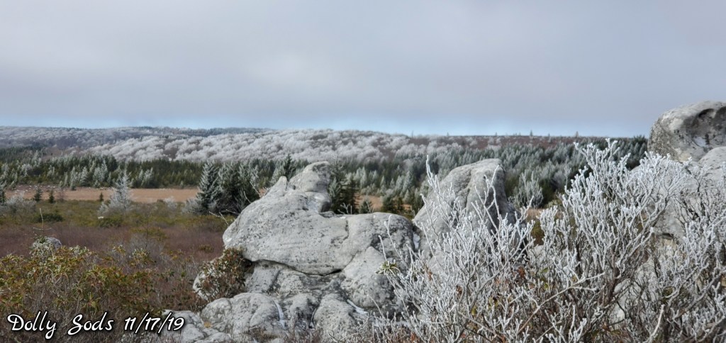
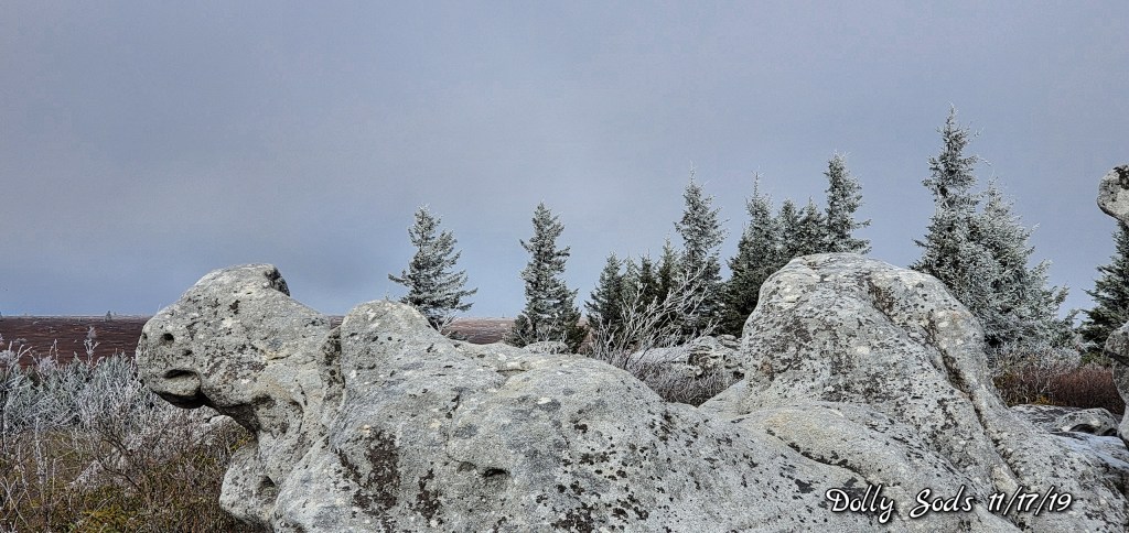
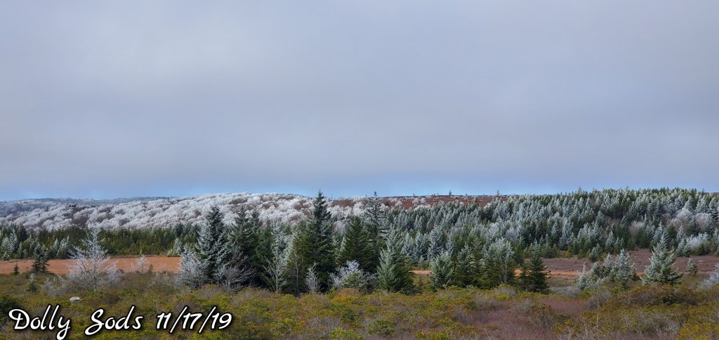
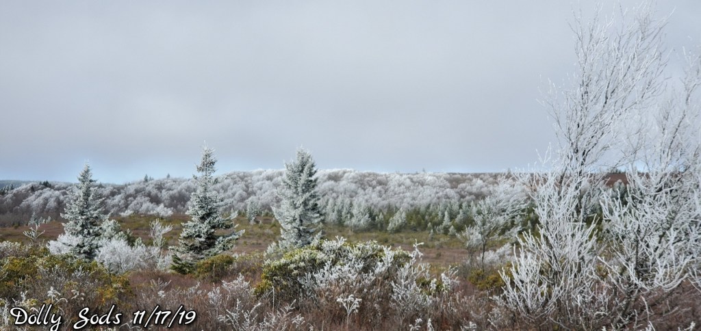
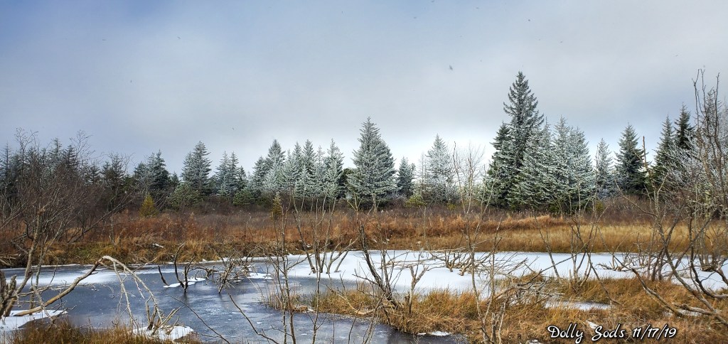
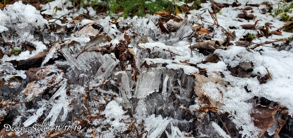
East flow, north central Garrett, points east, and down along the Allegheny Front to the Sods and east saw lots of cloud cover. Some rime across the high Wv on east facing slopes. Sods, Spruce especially. With a dusting of snow, which I believe was just suspended moisture that froze and fell..
Temps today
The Valley vs Cabin Mt
Radar void – light precip undetected
Satellite
Flow
Surface features and 500mb height anomalies and flow
Pics to come
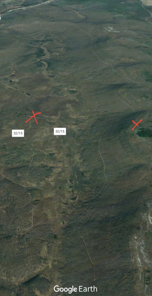
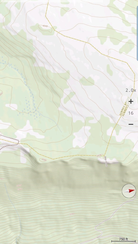
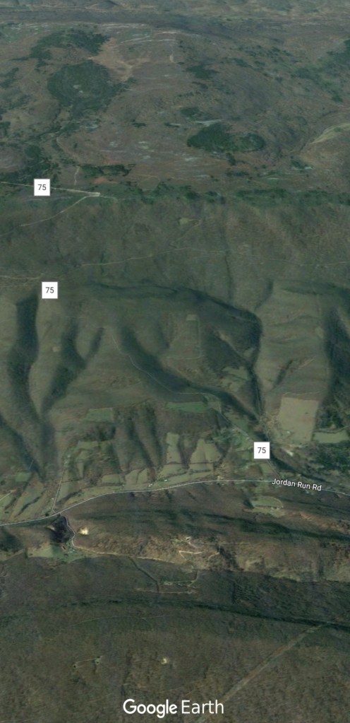
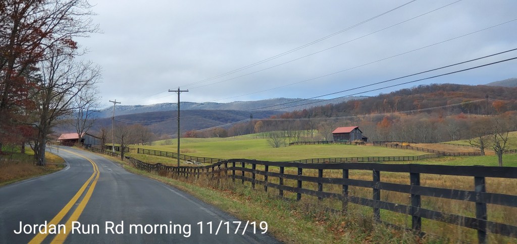
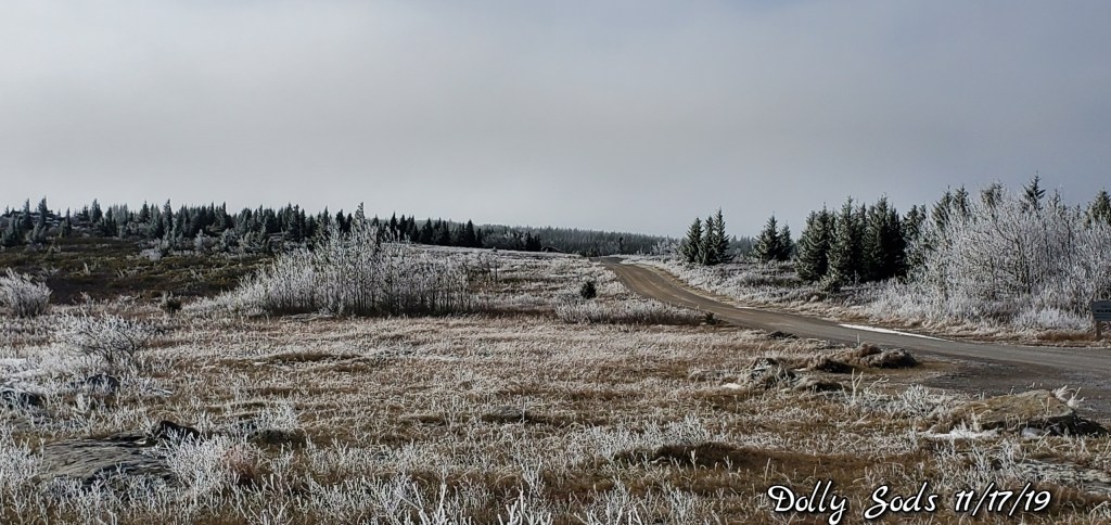
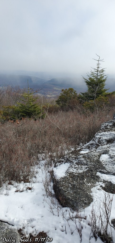
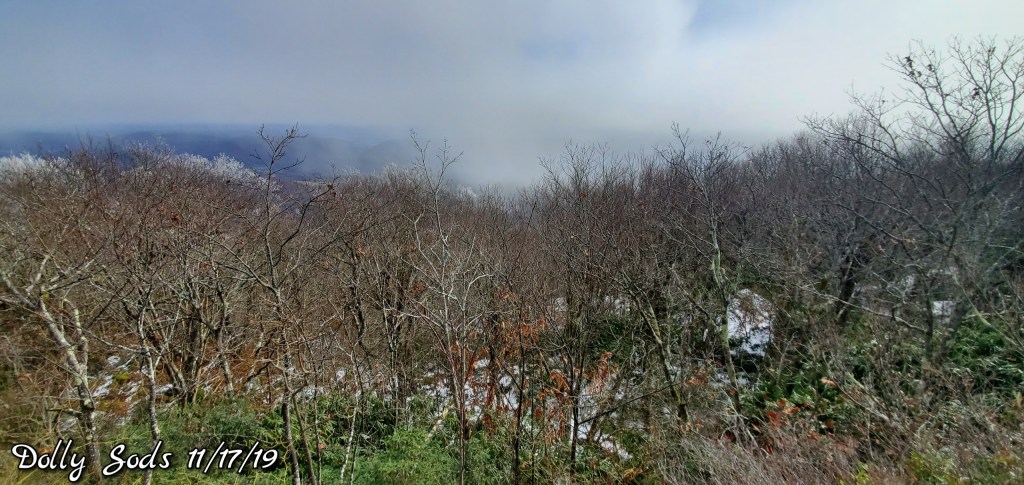
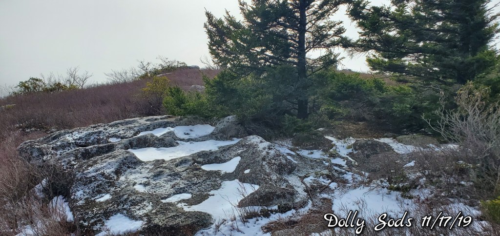
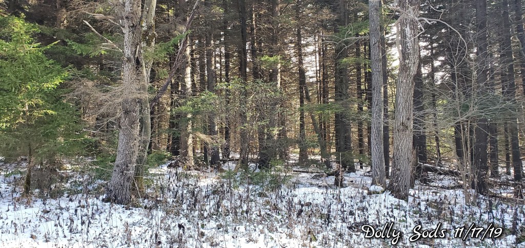
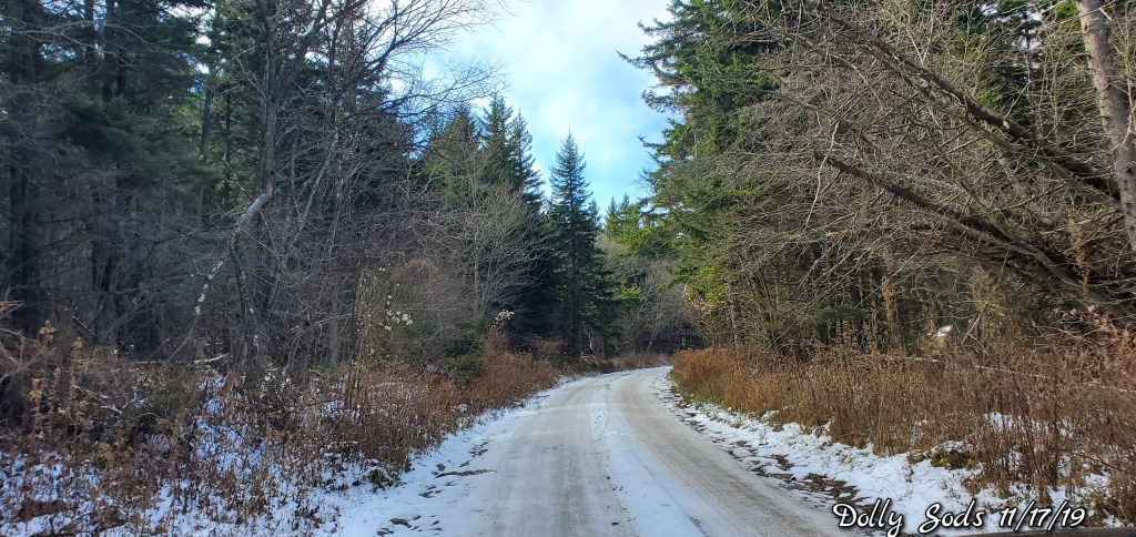
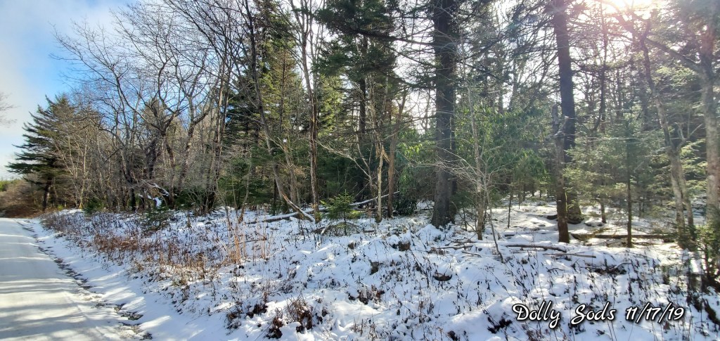
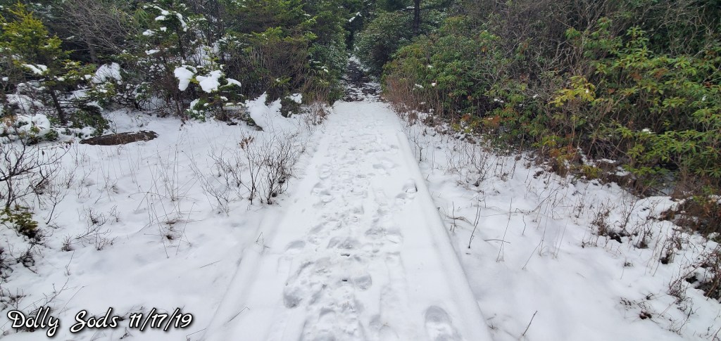
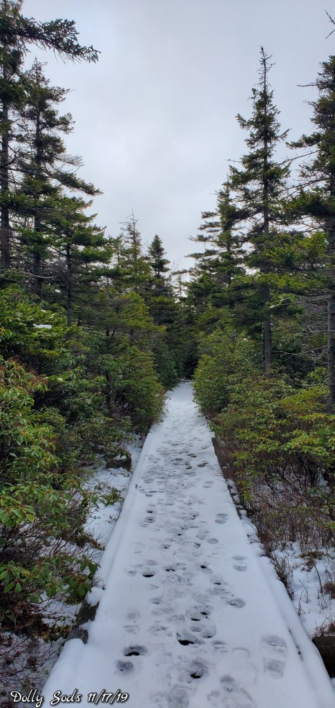
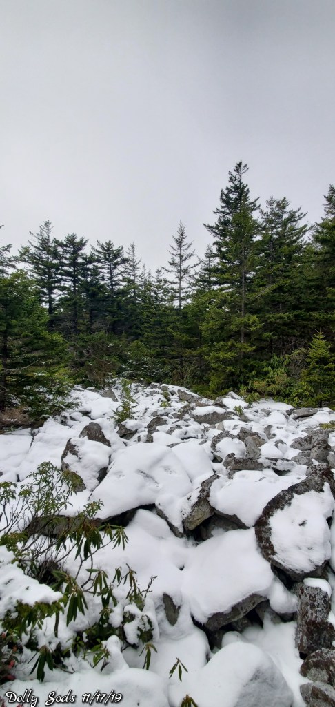
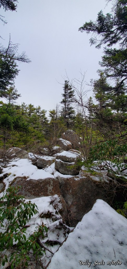
Jordan Run to Bear Rocks
The east flow. Low clouds and fog held across the northern areas of the Allegheny Front with intervals of some some. Trees were rimed in from the east..
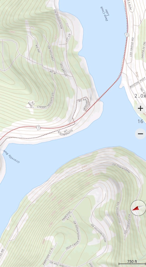
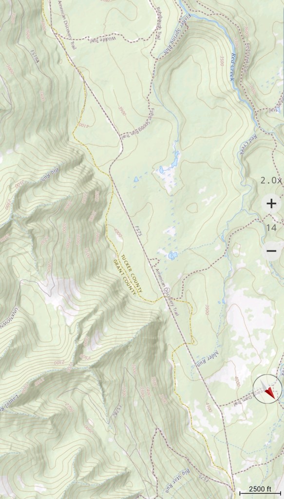
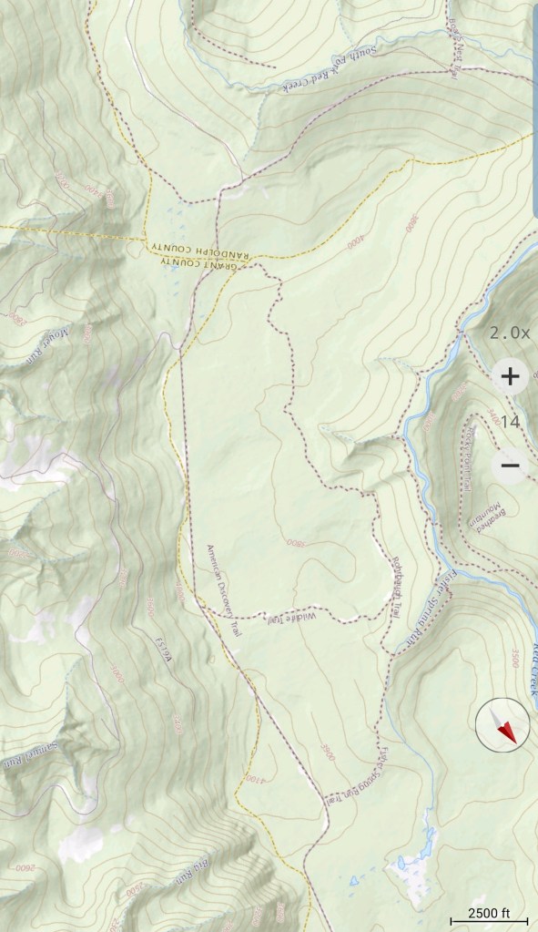
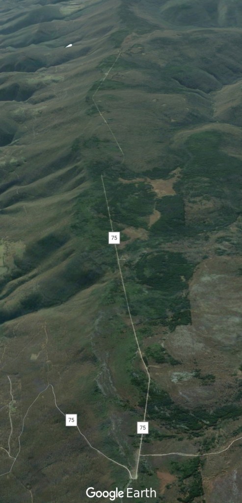
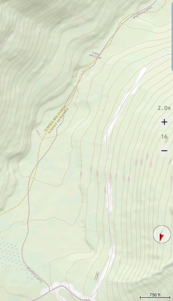
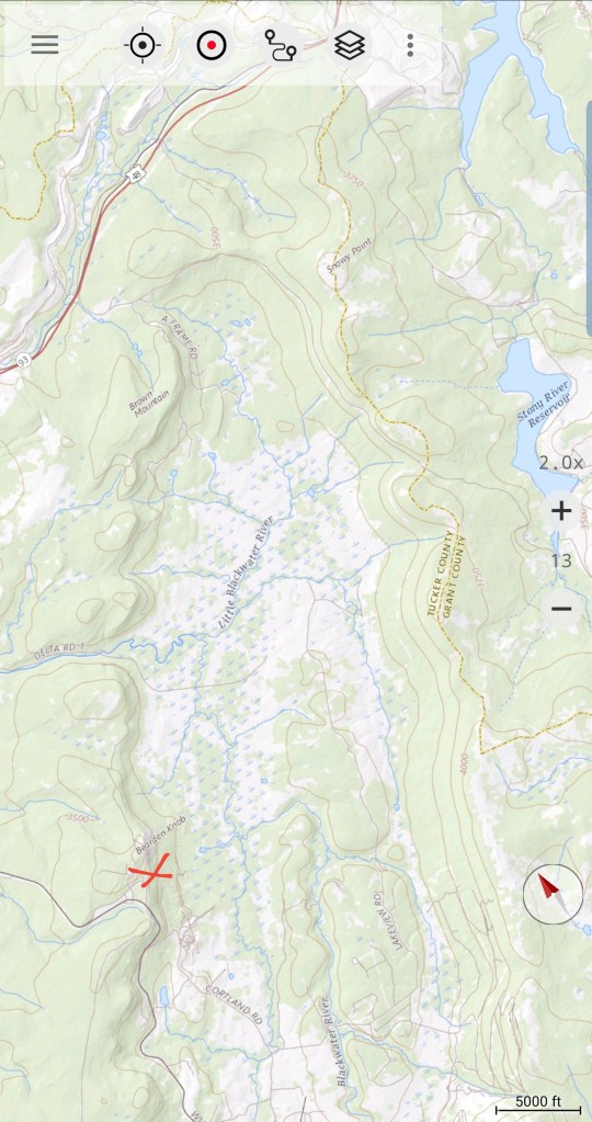
South on FR 75 to 19
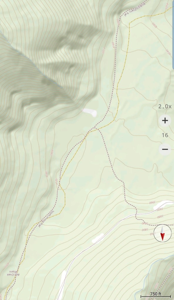
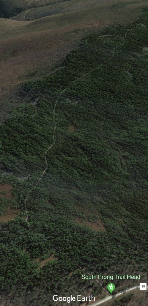
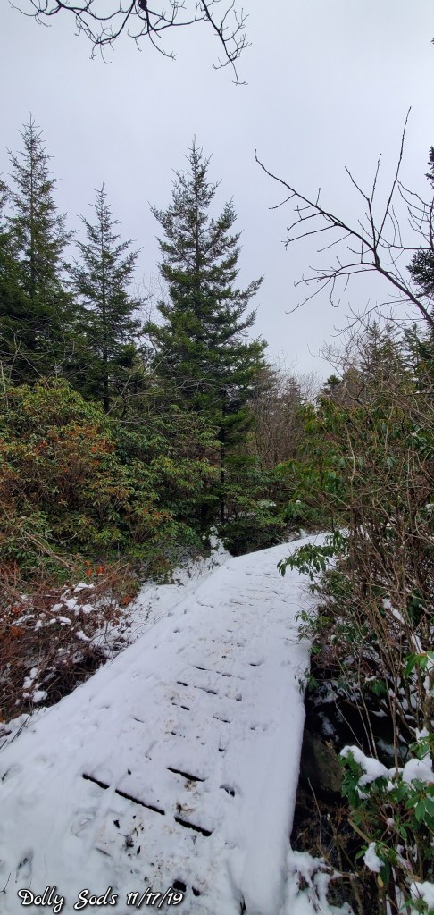
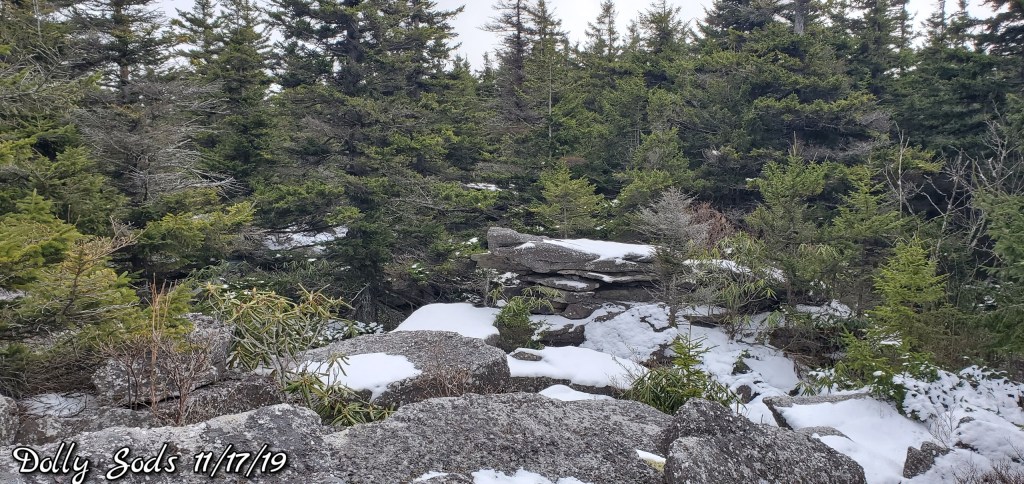
South Prong trail at the Sods
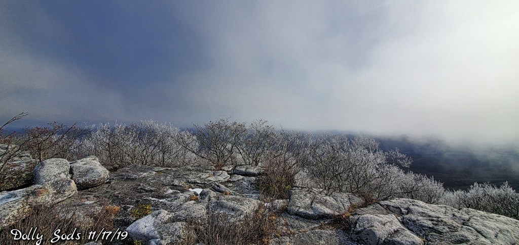
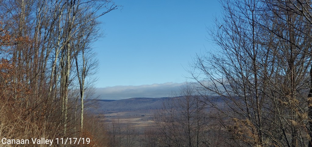
Looking east from Canaan Mt
Cloud line very visible.
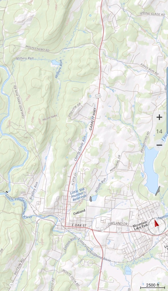
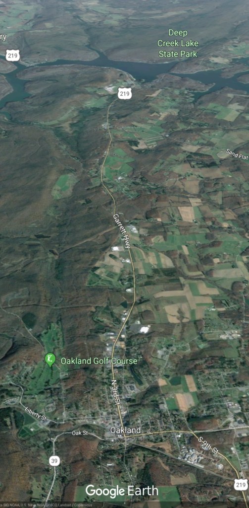
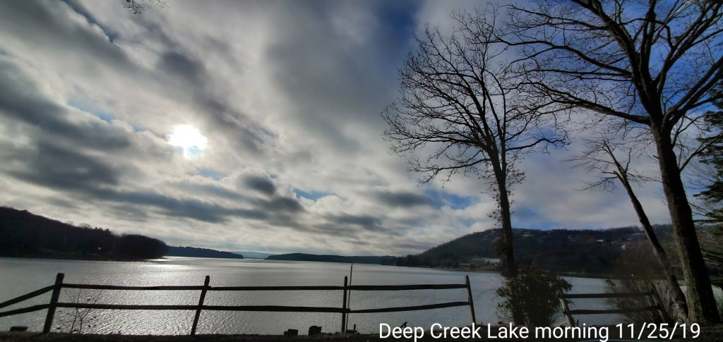
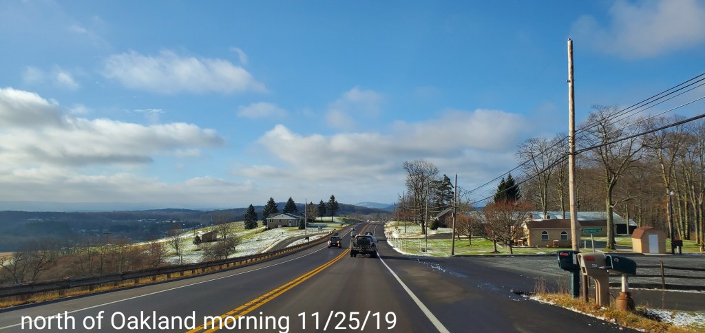
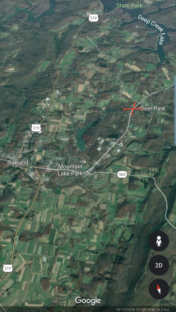
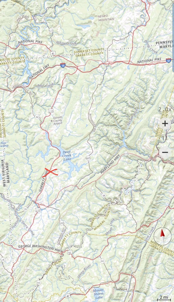
North into Garrett
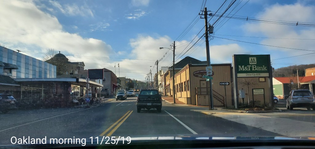
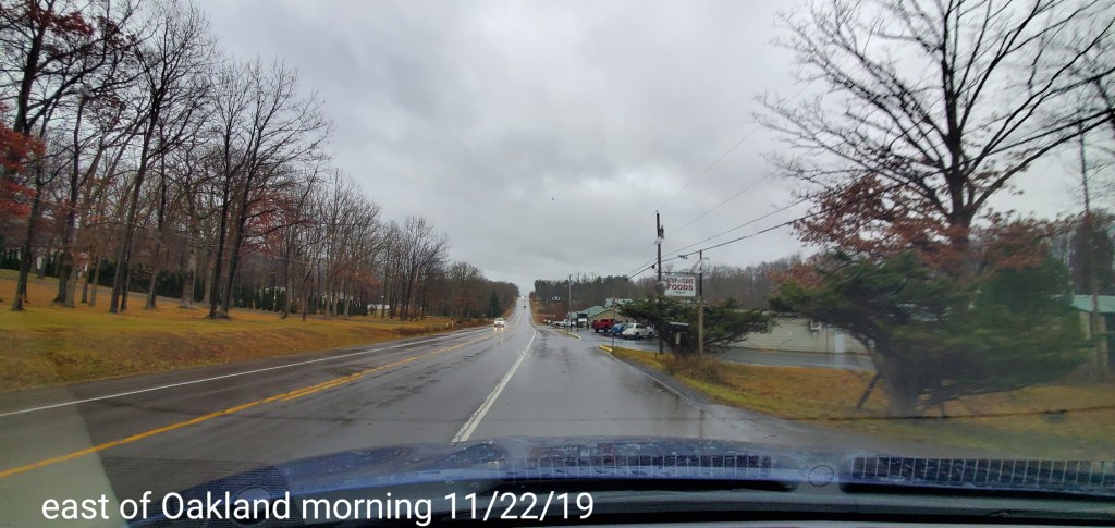
From north of Oakland , that cloud line, which is often the back west edge in freezing rain setups, in the classic location.
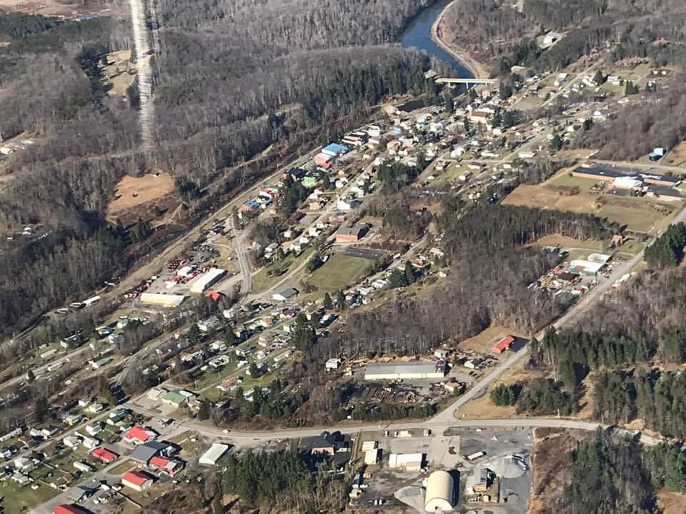
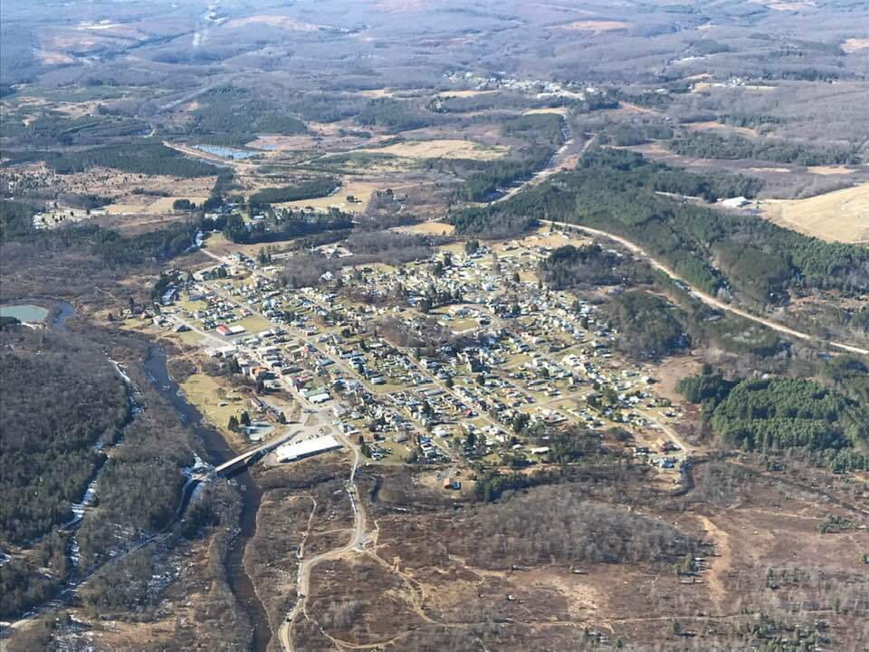
Photos by Peggy Thorne-Church
Aerial views around Canaan to Mt.Storm. excellent views of the cloud cover towards the Allegheny Front and east while sunny west of the Front.