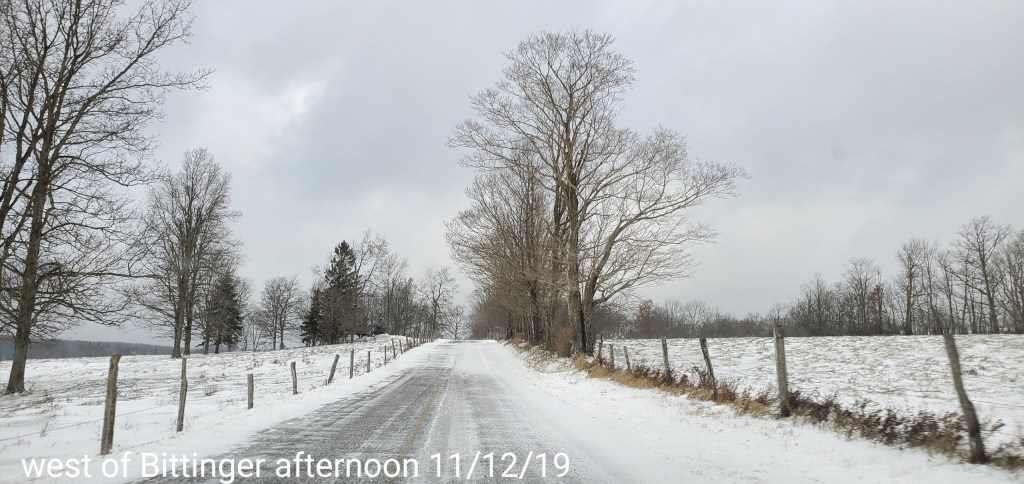
Day began cloudy until daybreak..some areas cleared prior to daybreak allowing temps to fall off more. Light SE flow today kept areas in the north and eastern Alleghenies colder.
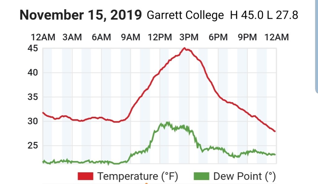
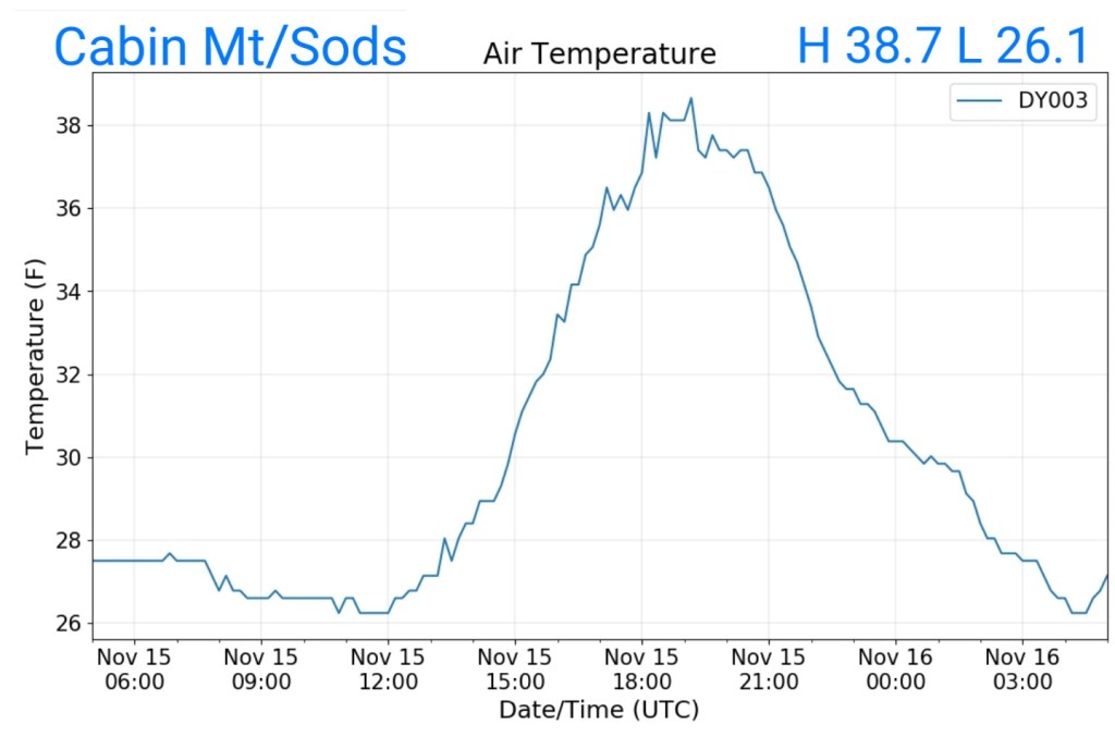
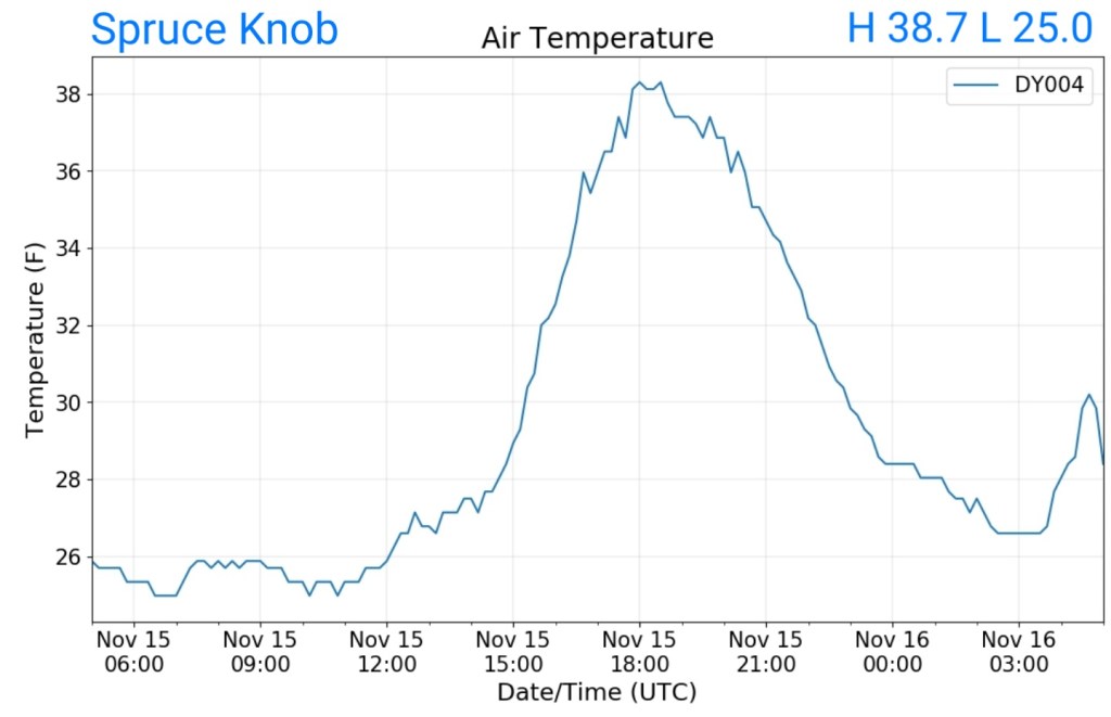
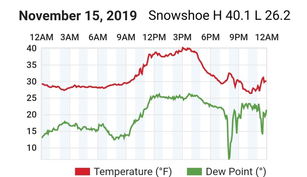
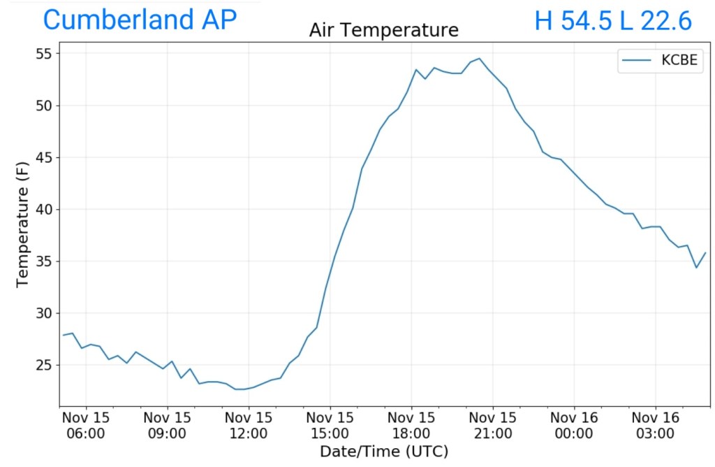
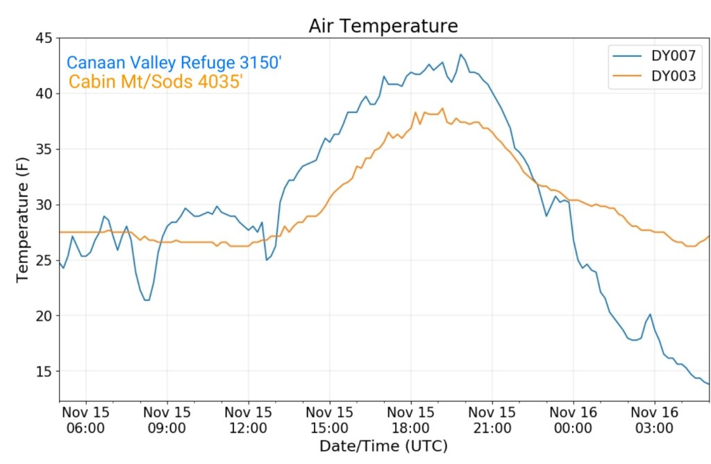
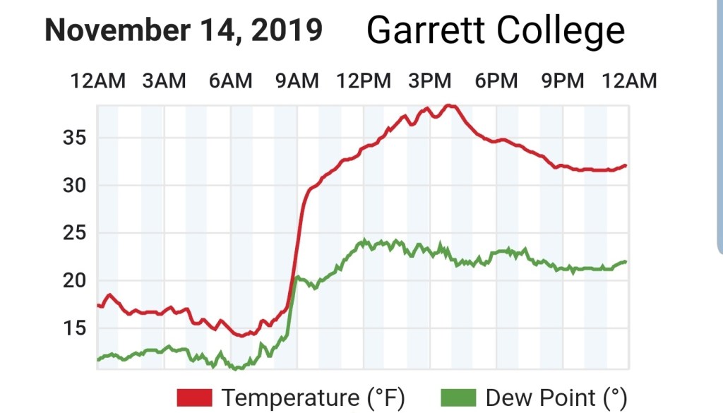
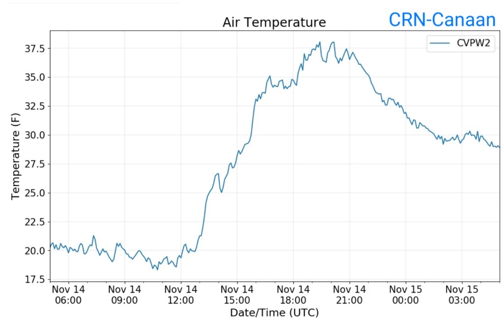
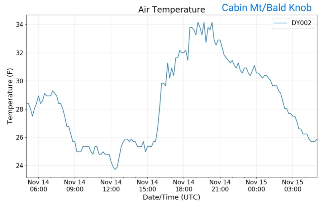
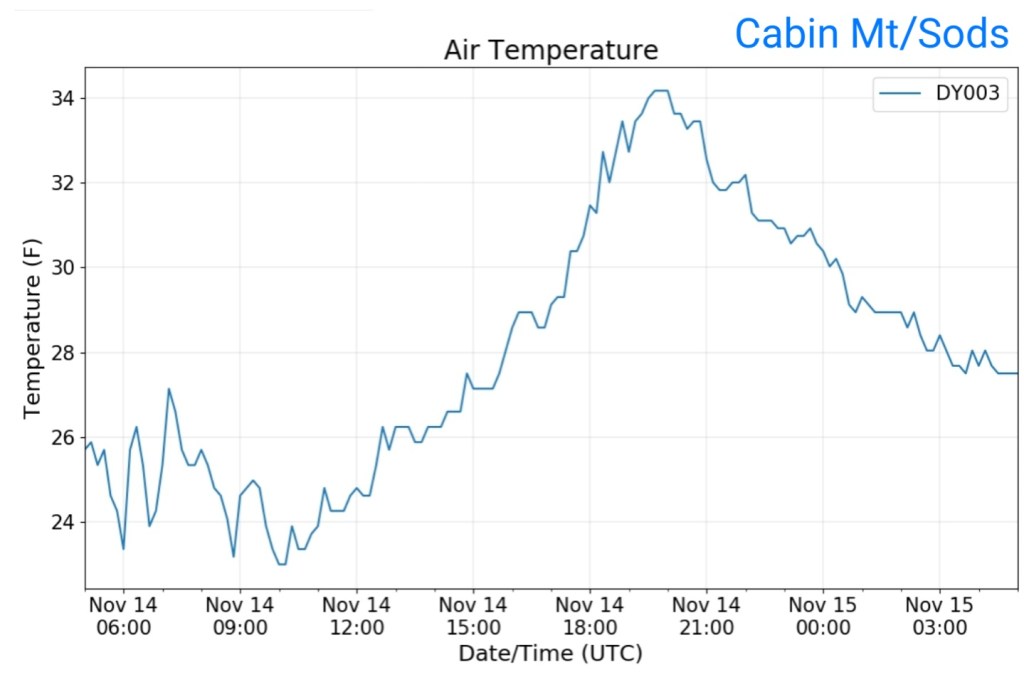
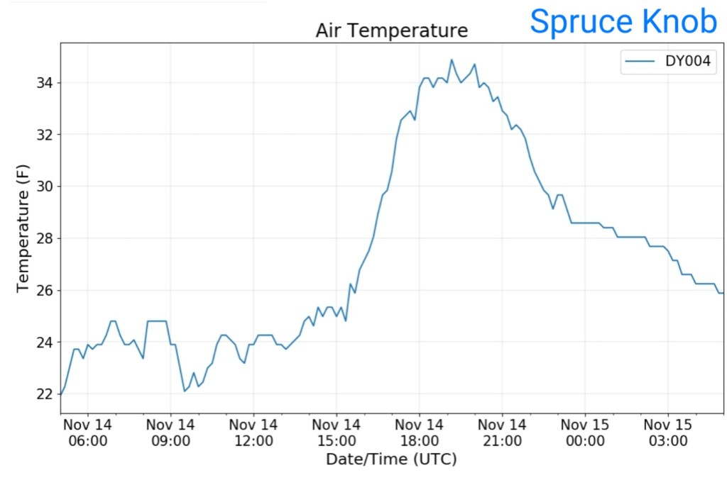
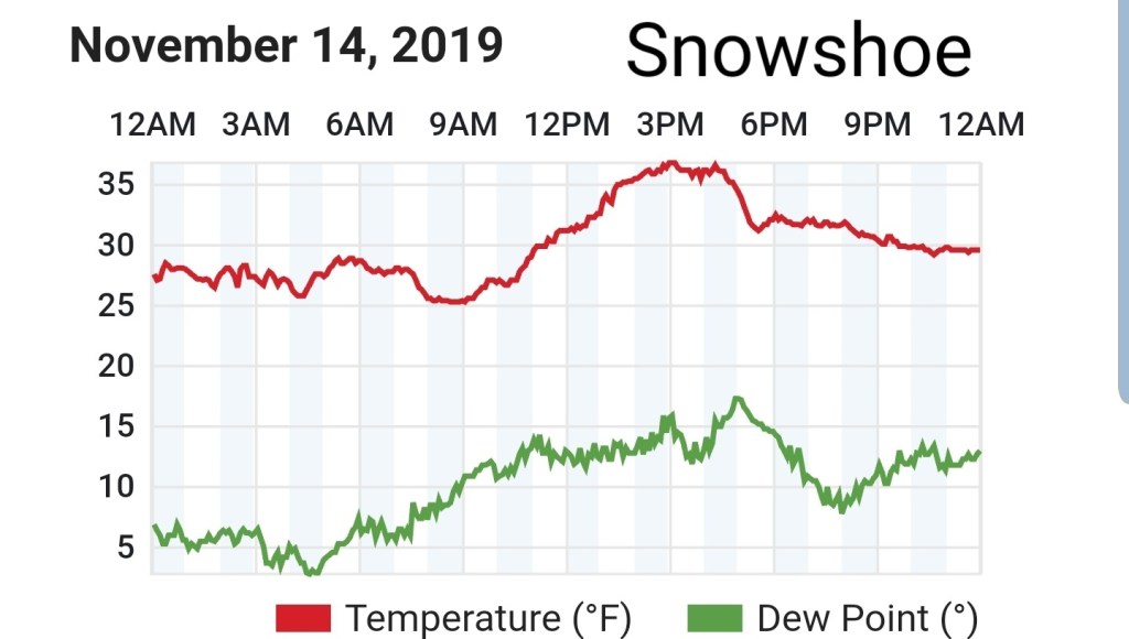
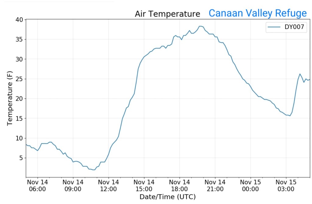
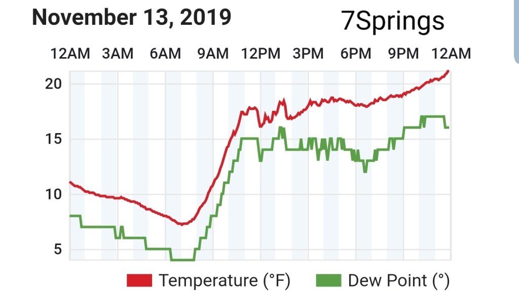
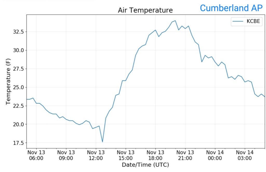
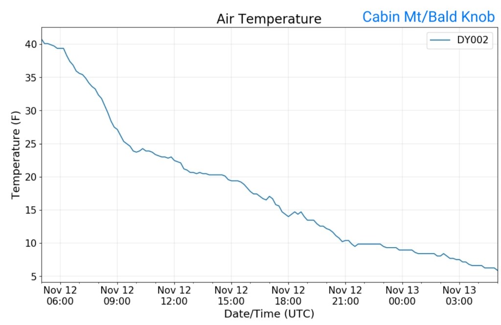
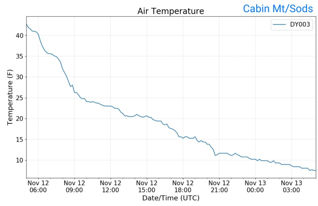
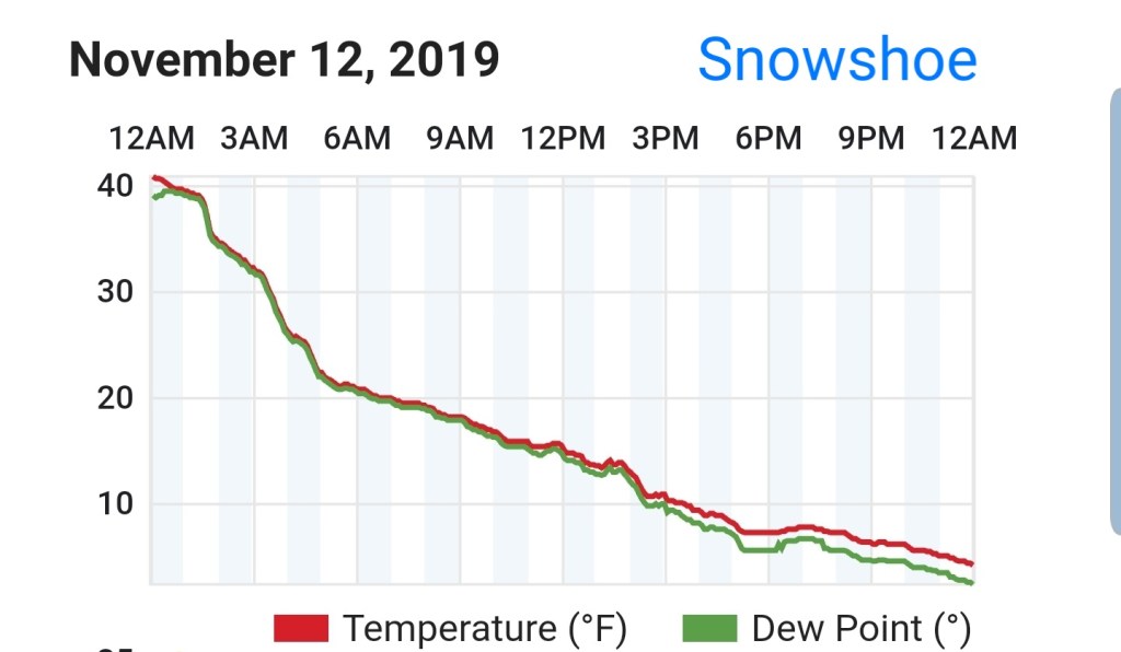
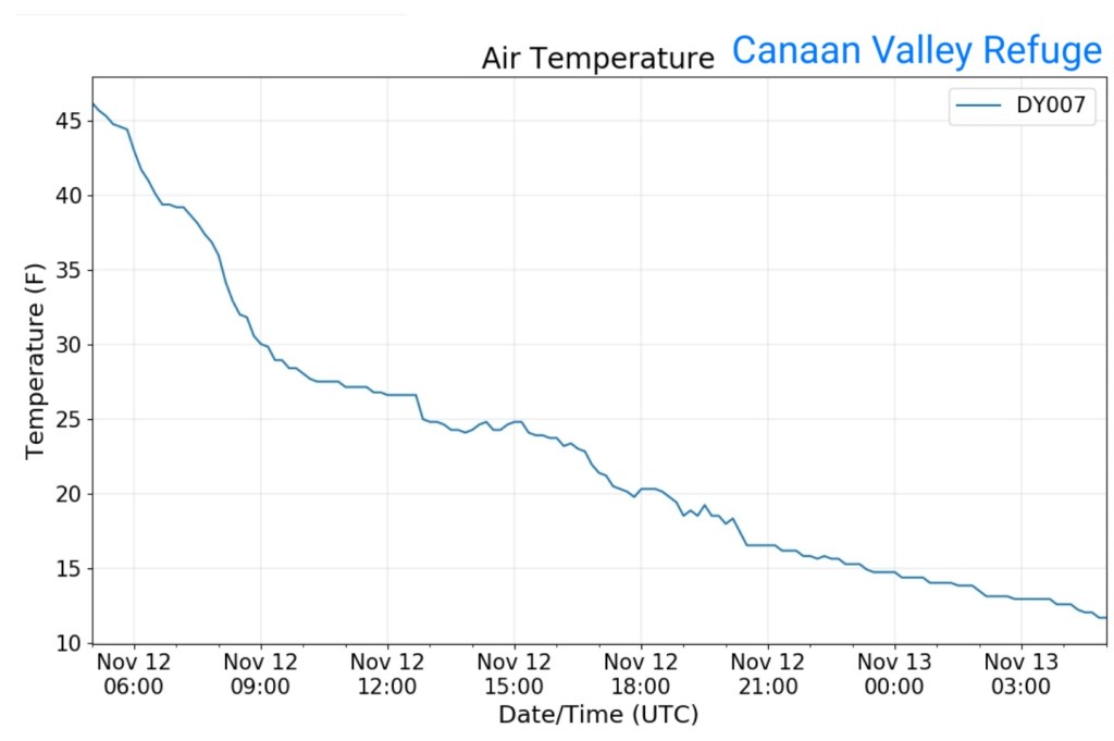
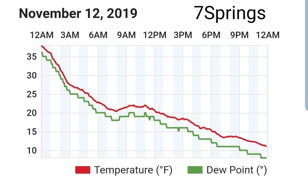
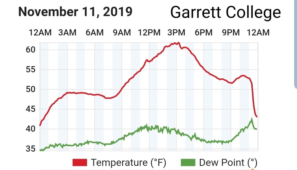
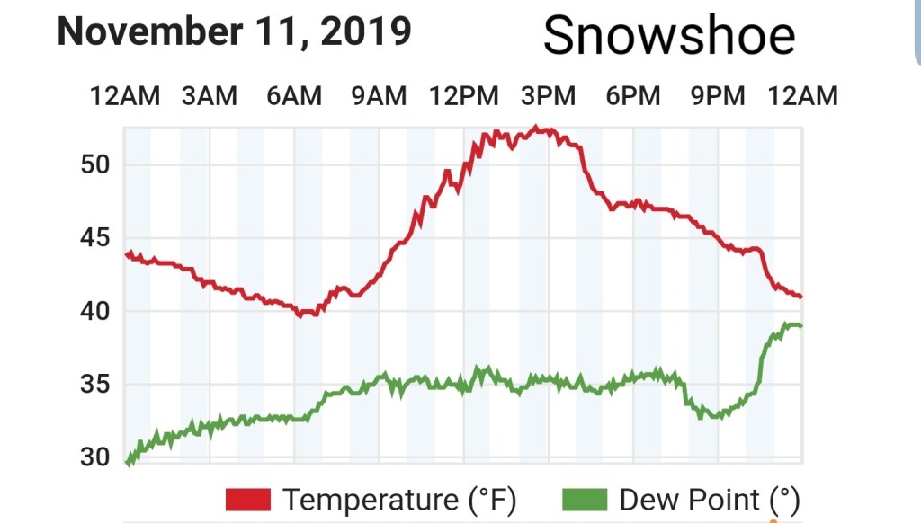
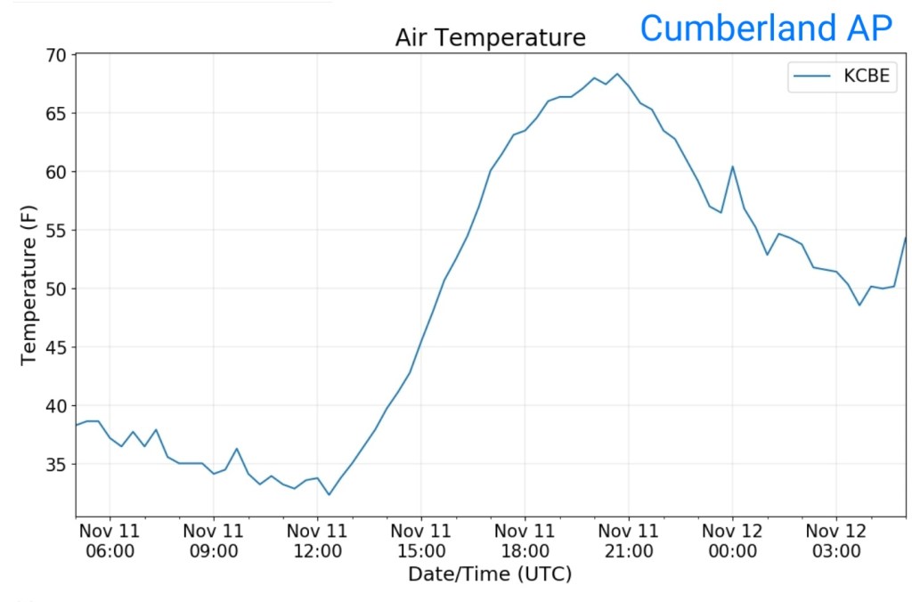
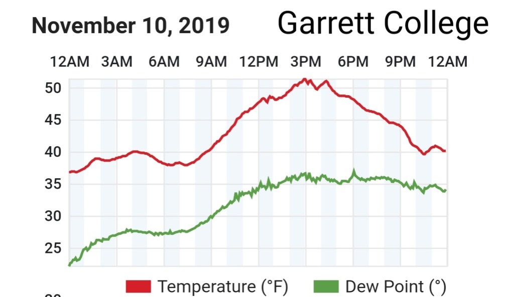
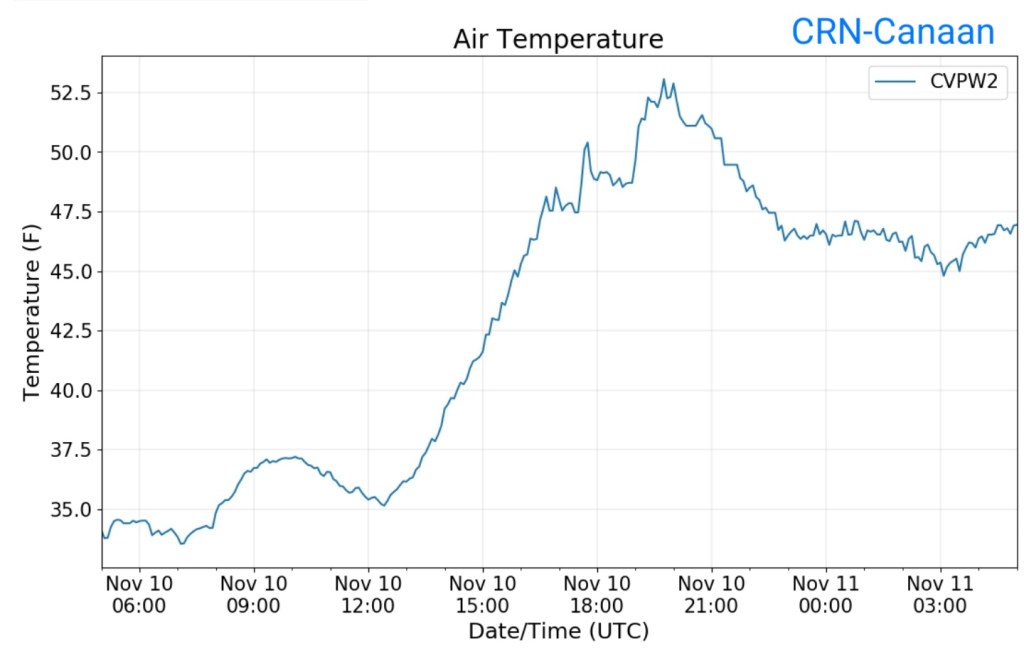
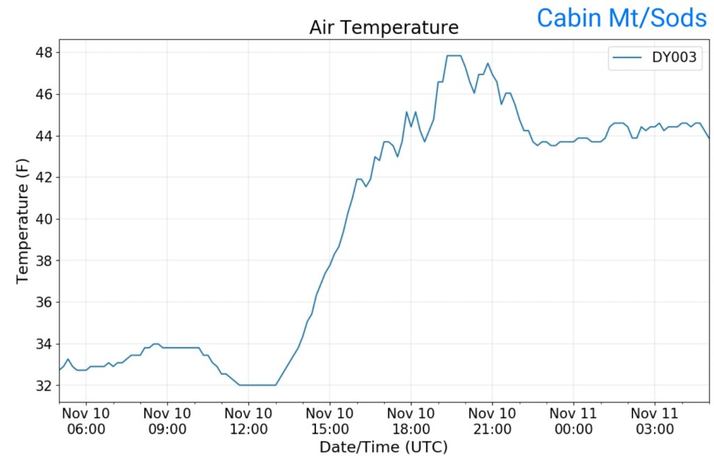
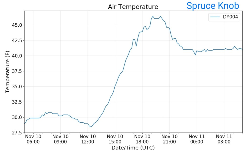
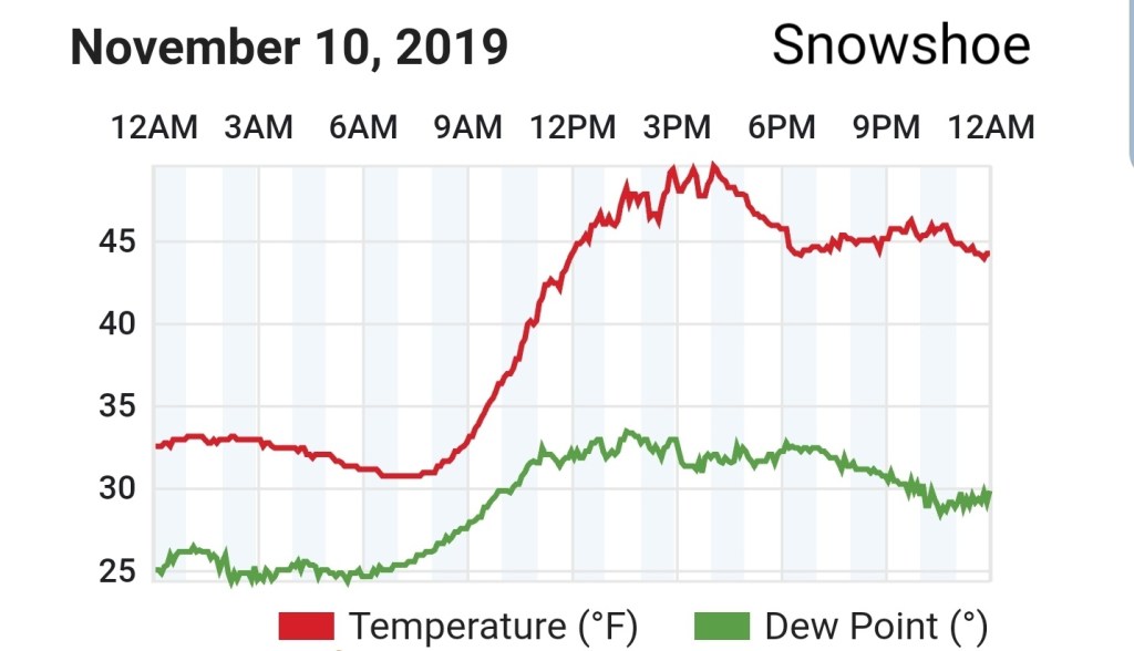
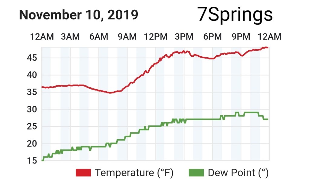
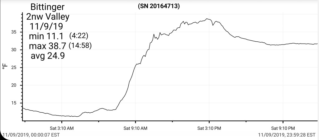
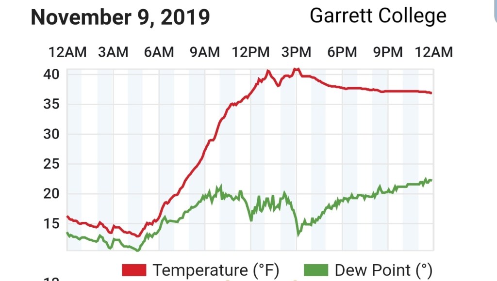
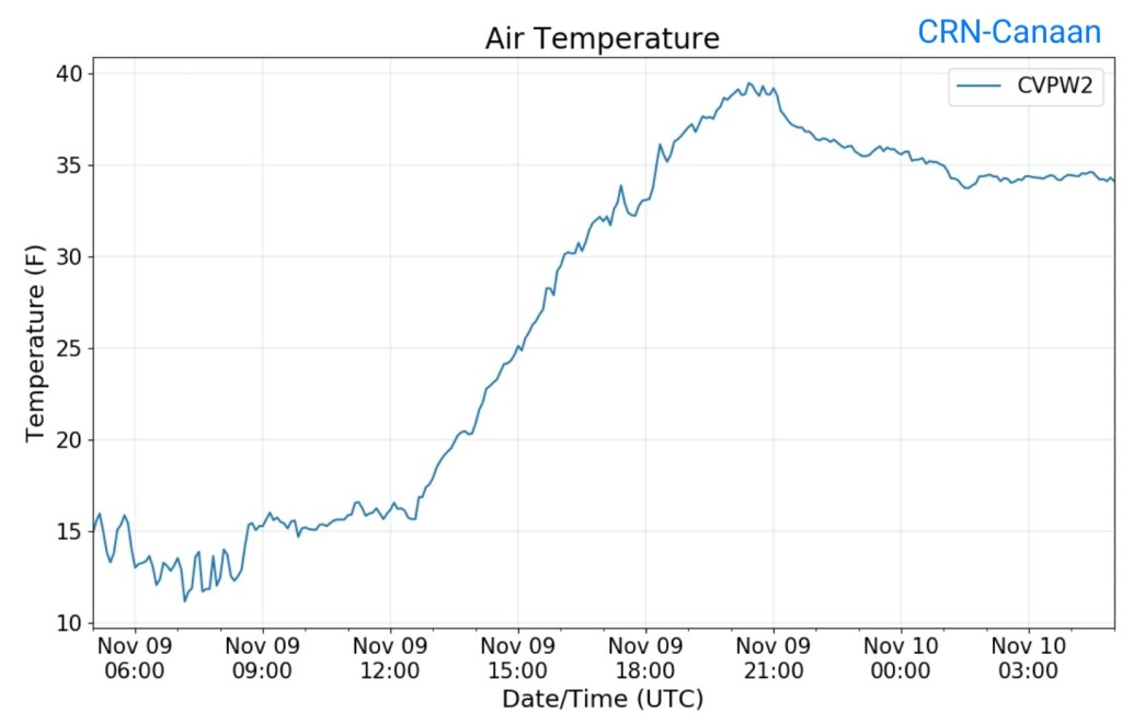
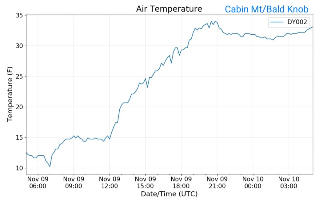
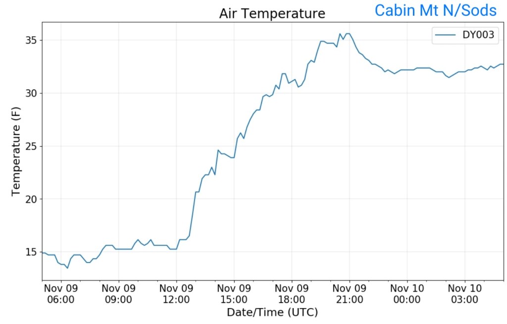
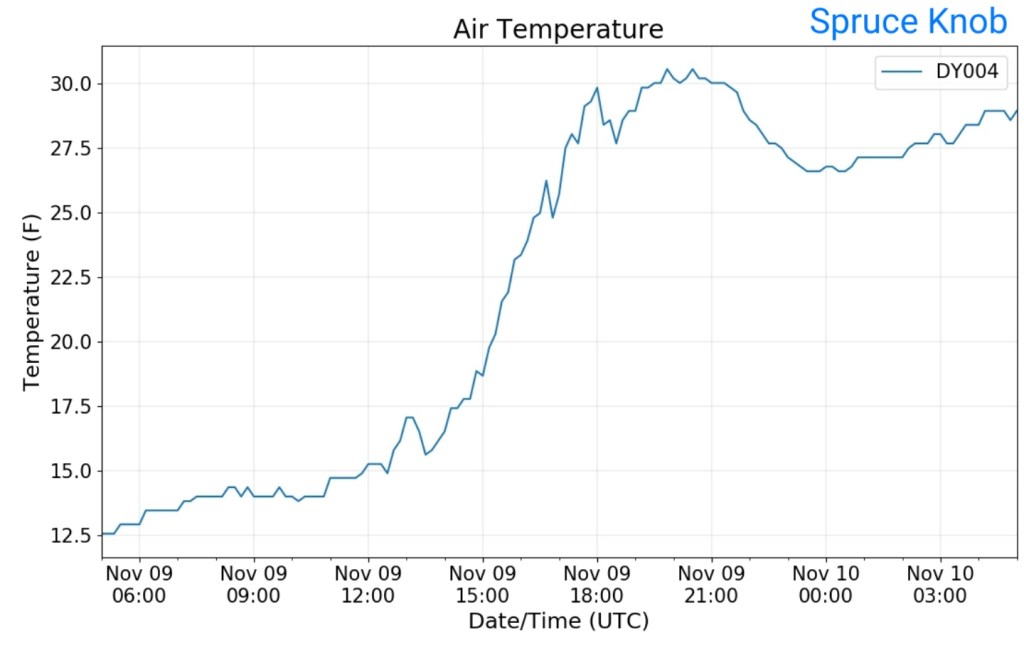
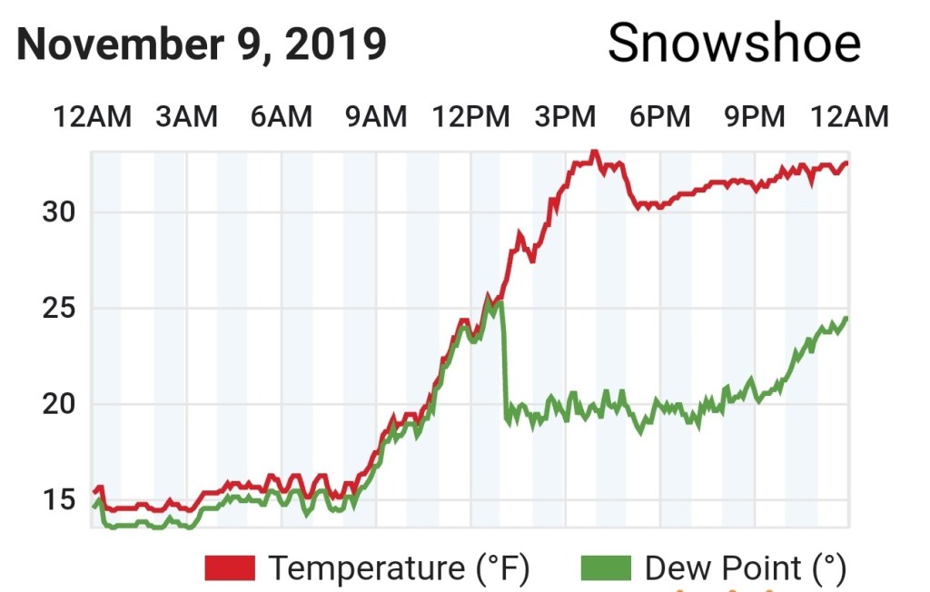
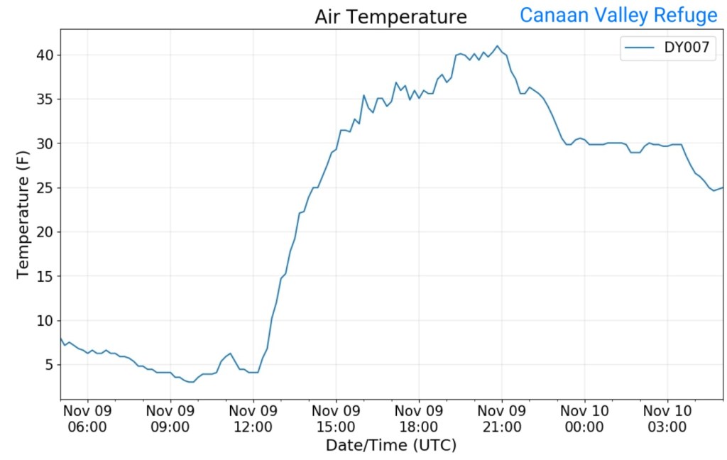
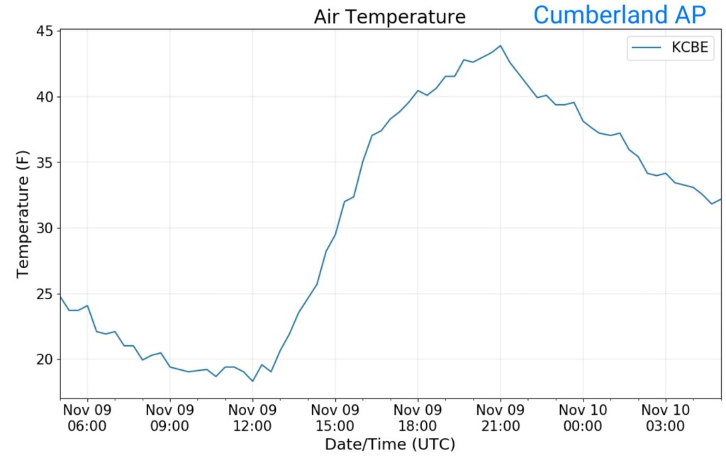
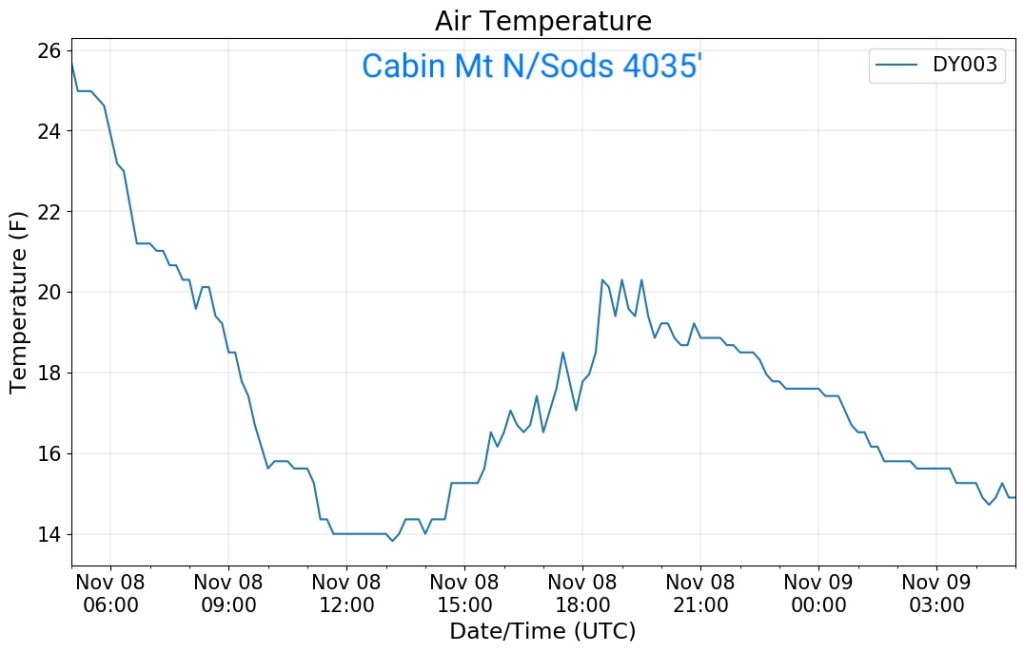
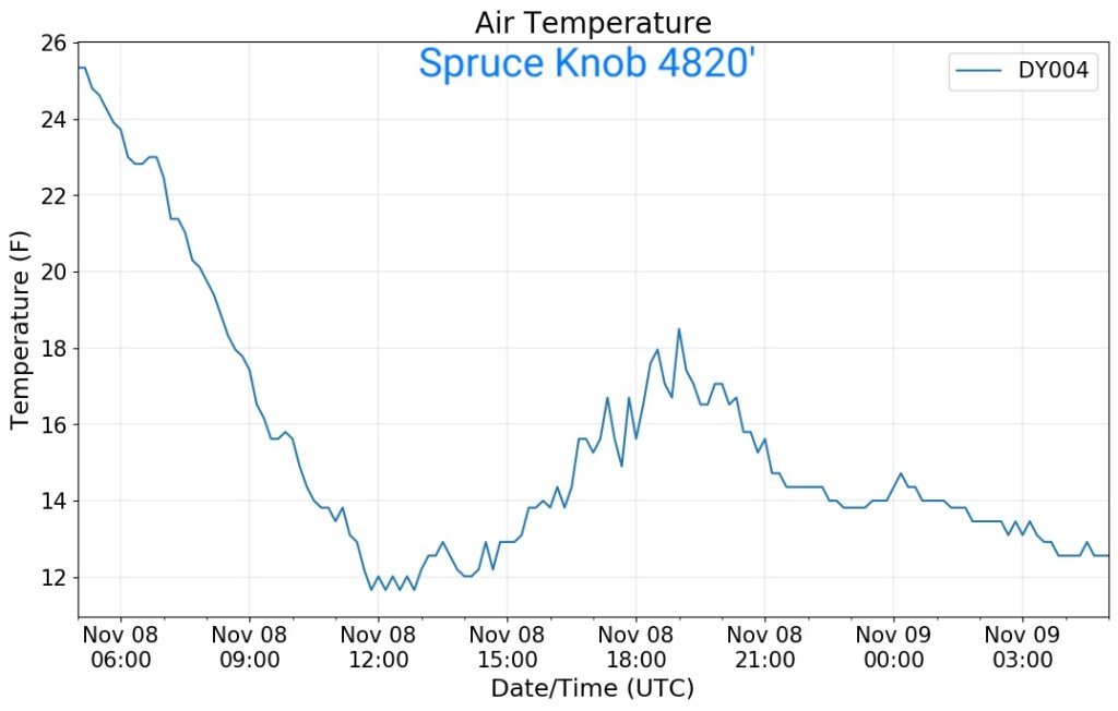
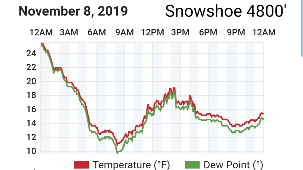
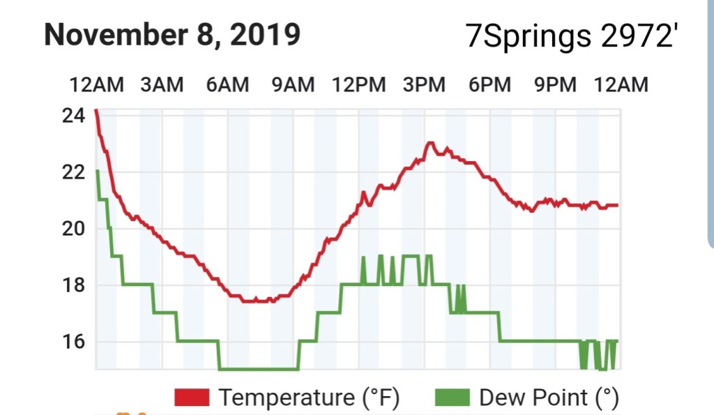
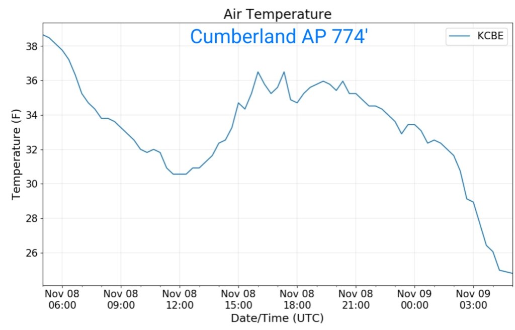
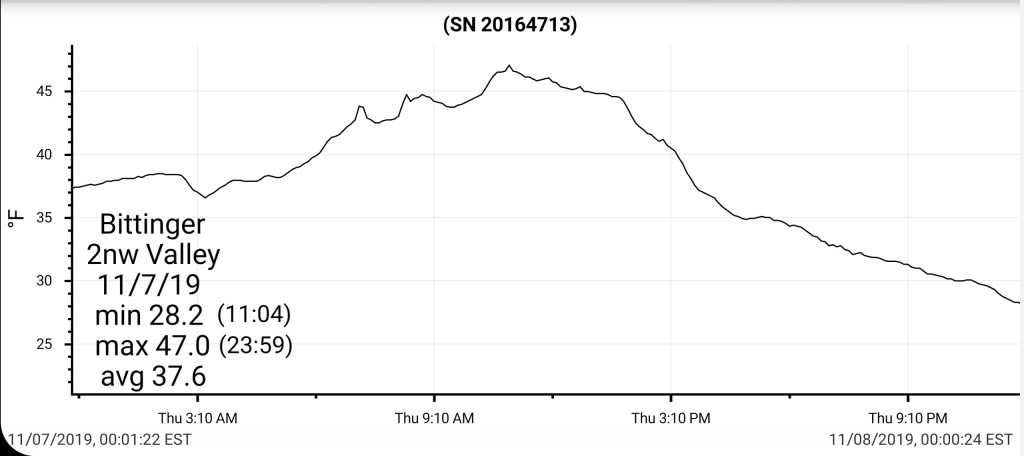
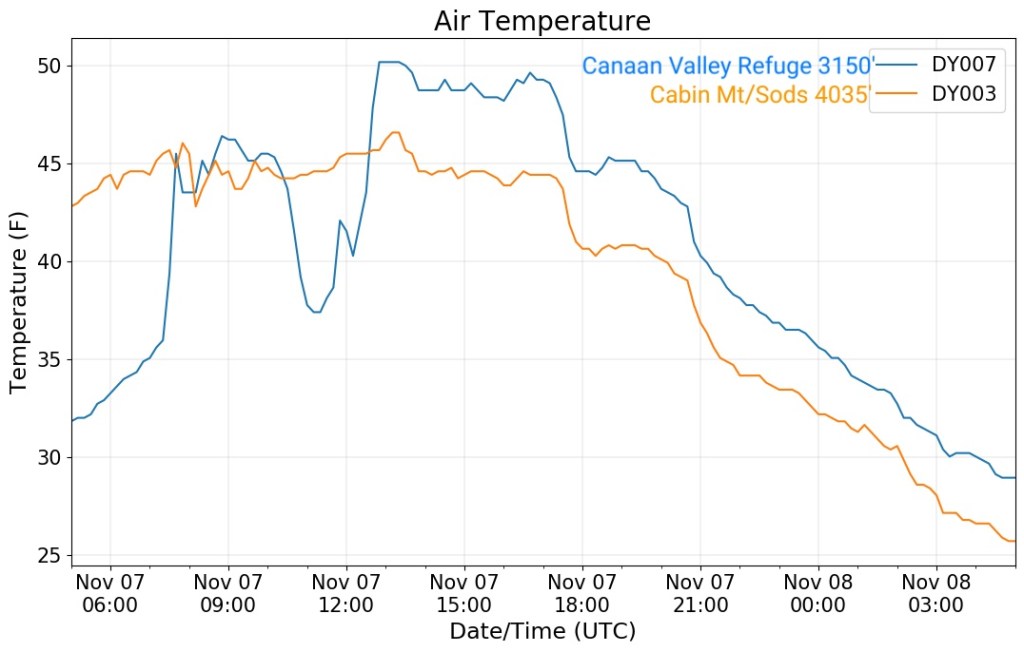
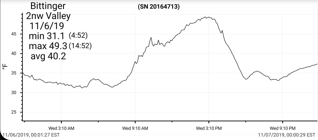
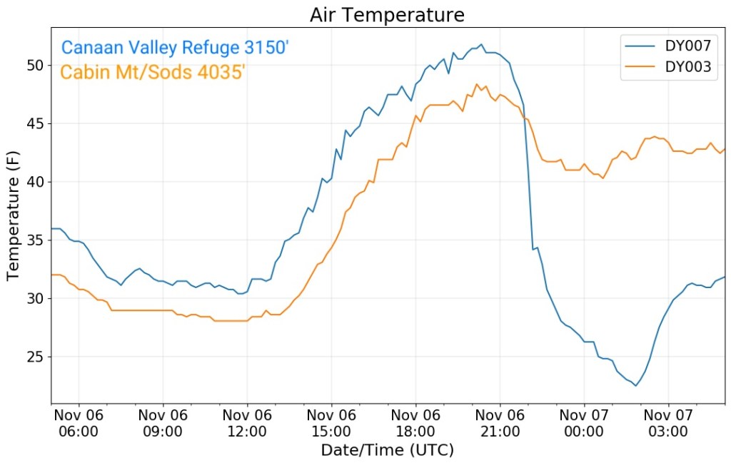
Temps today
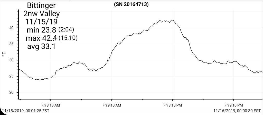
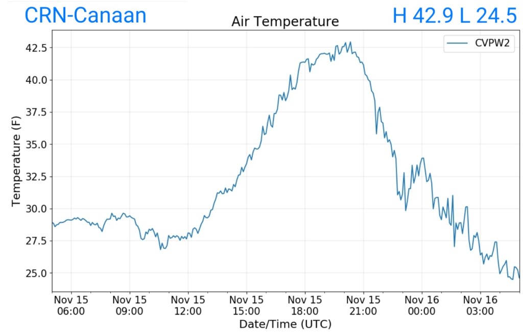
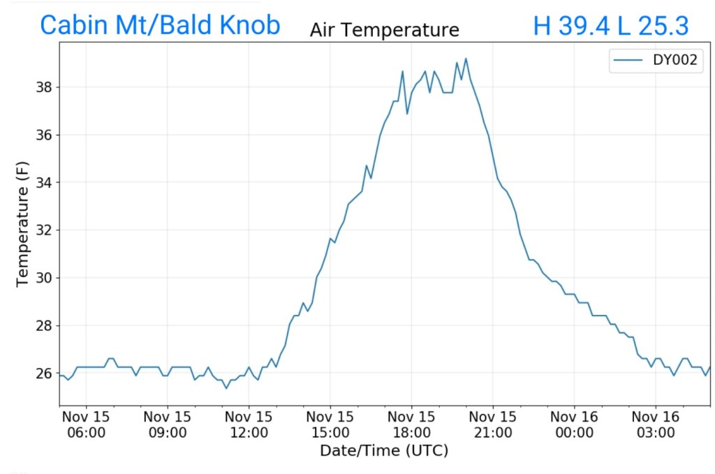
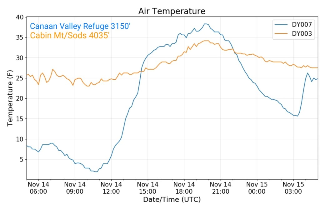
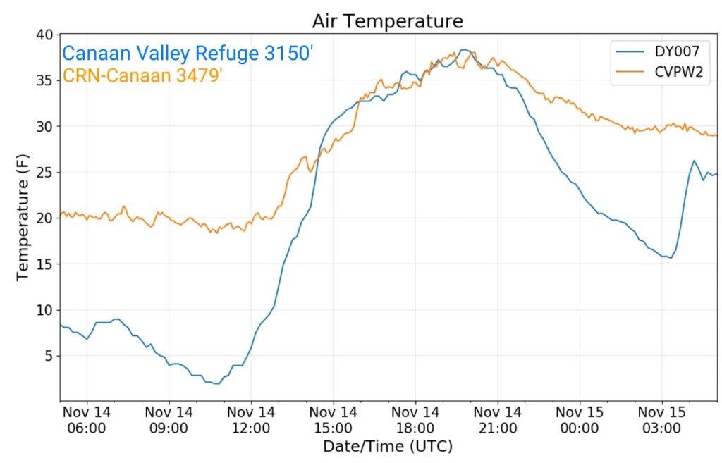
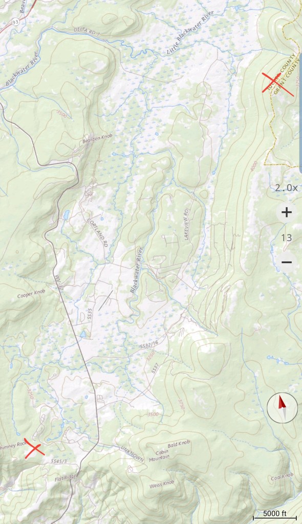
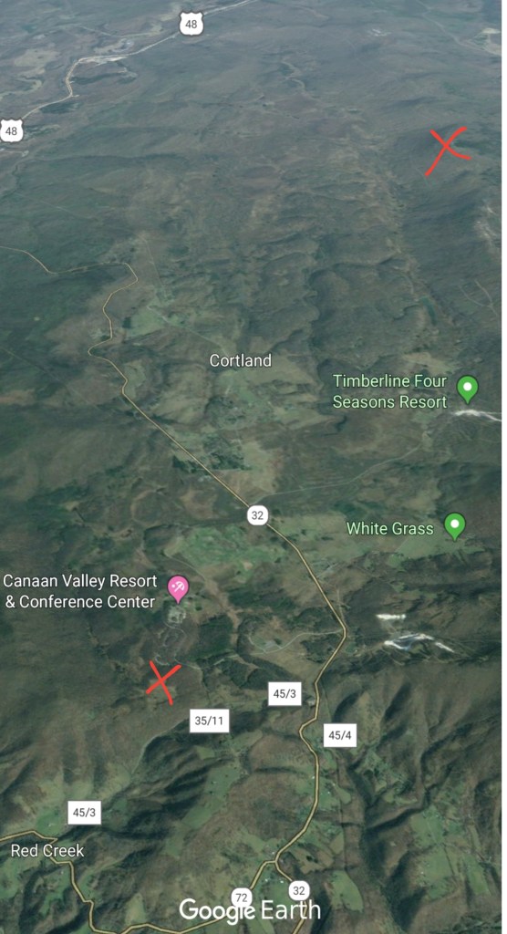
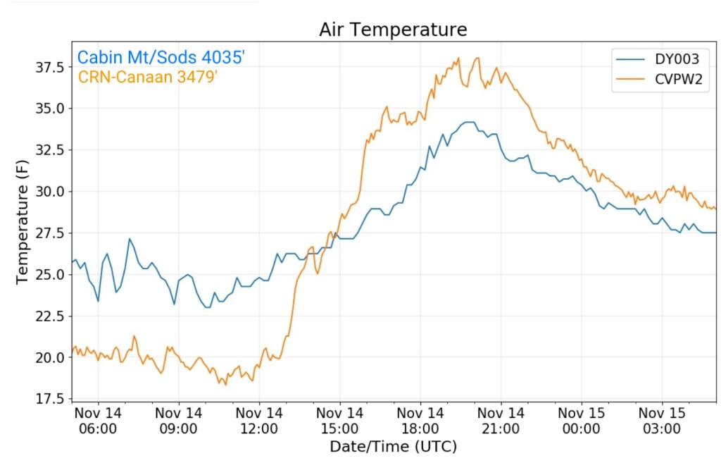
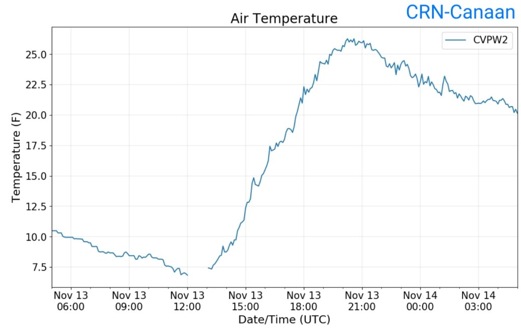
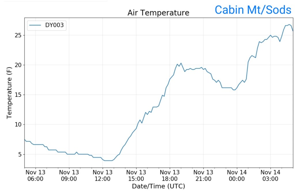
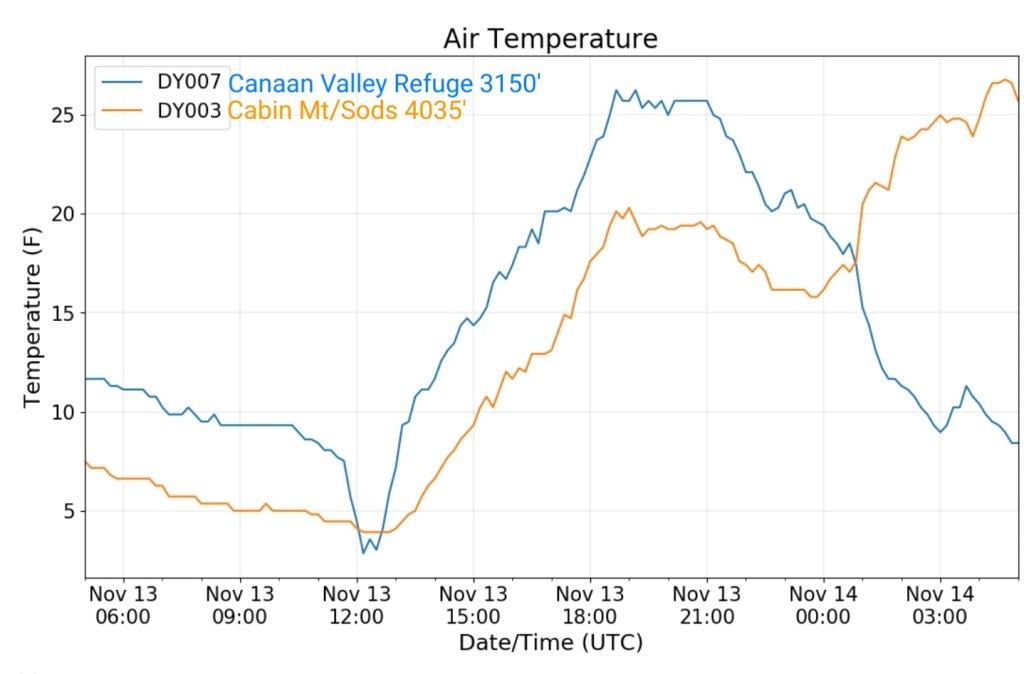
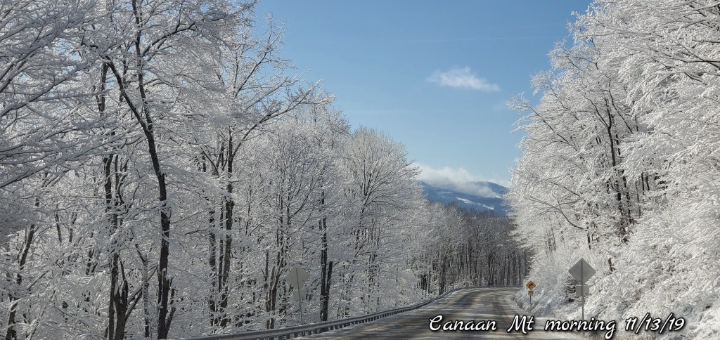
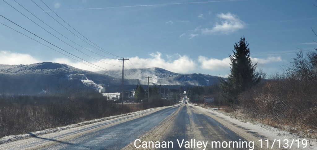
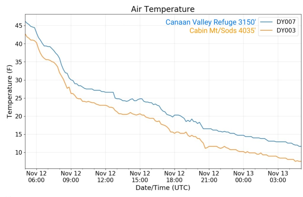
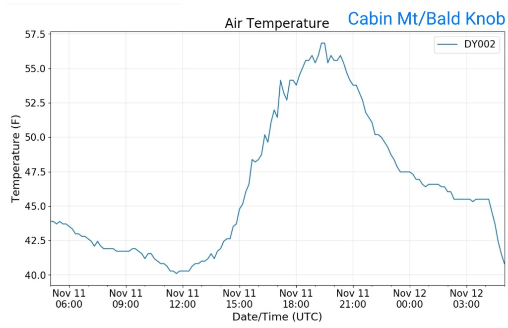
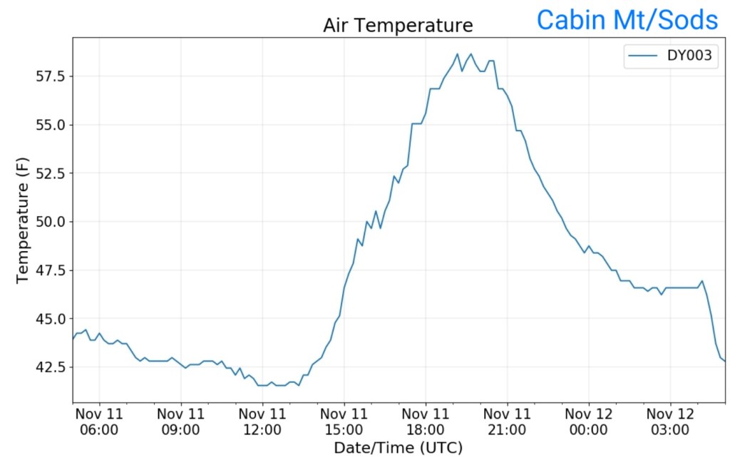
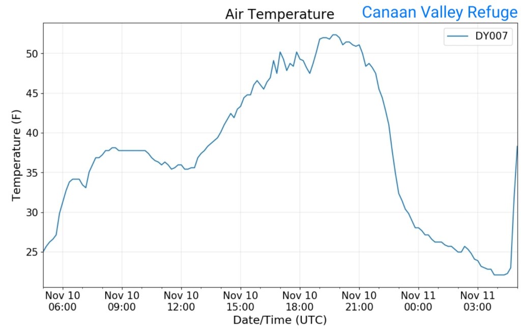
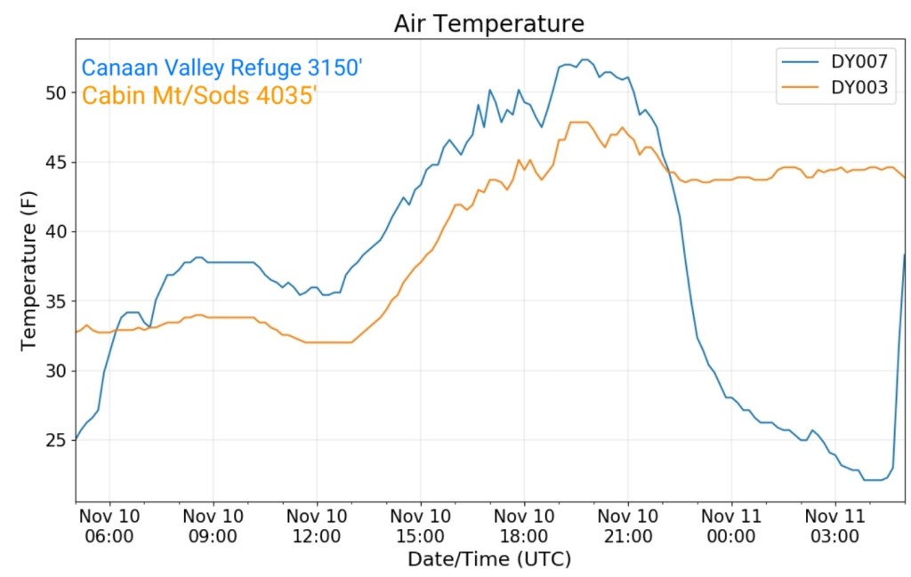
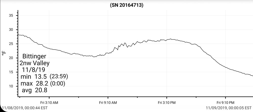
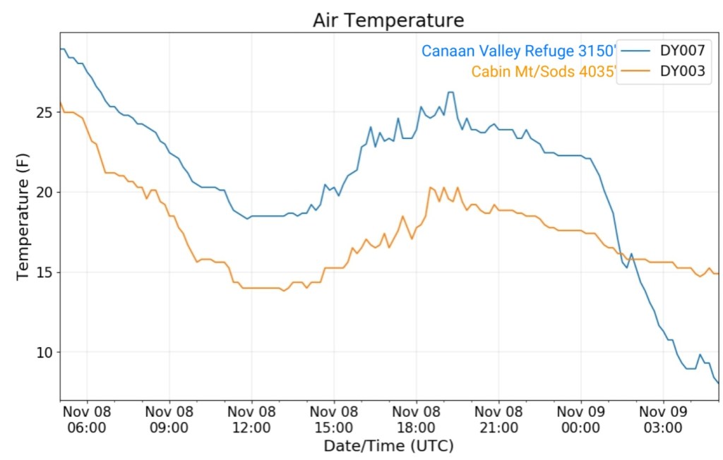
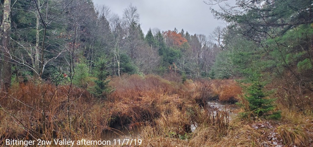
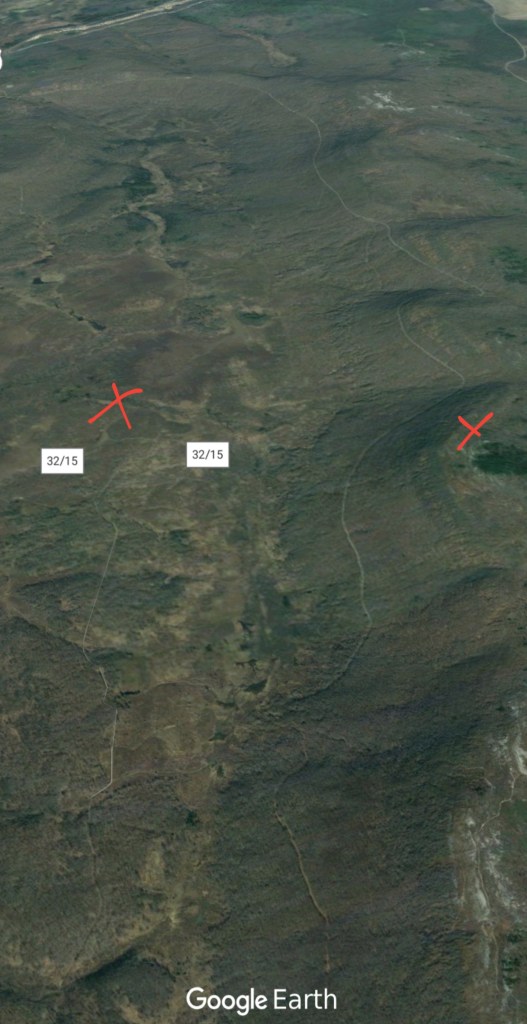
The Valley vs Cabin Mt
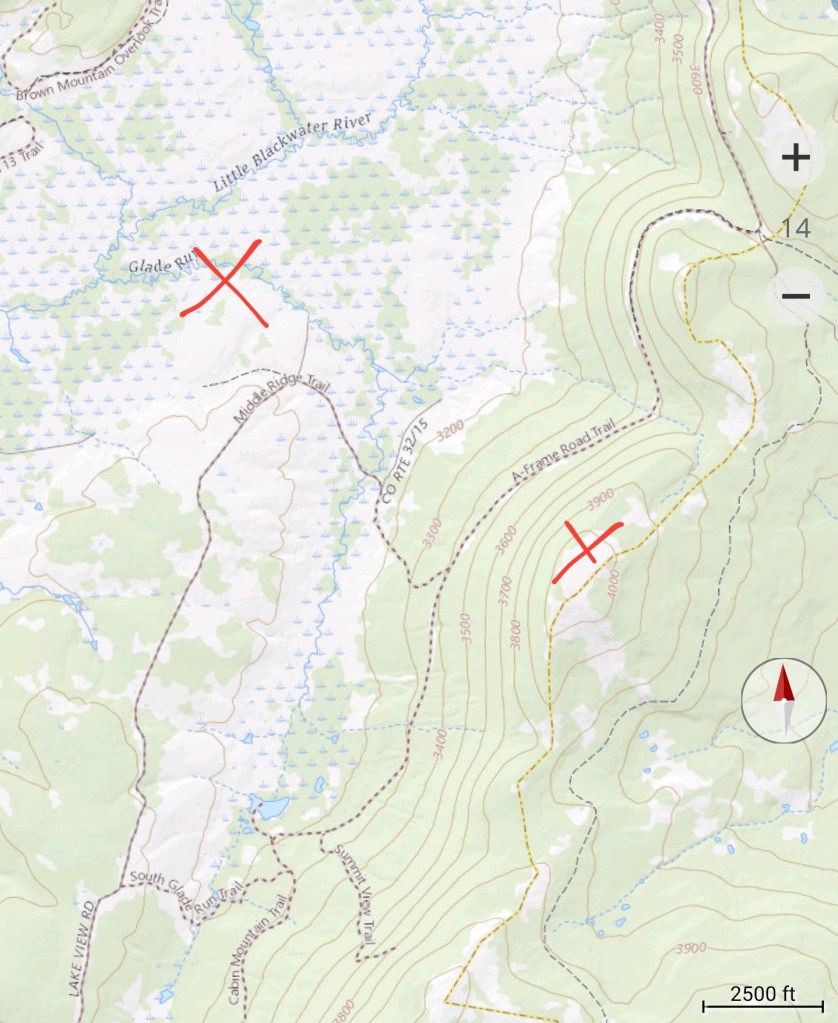
Radar void
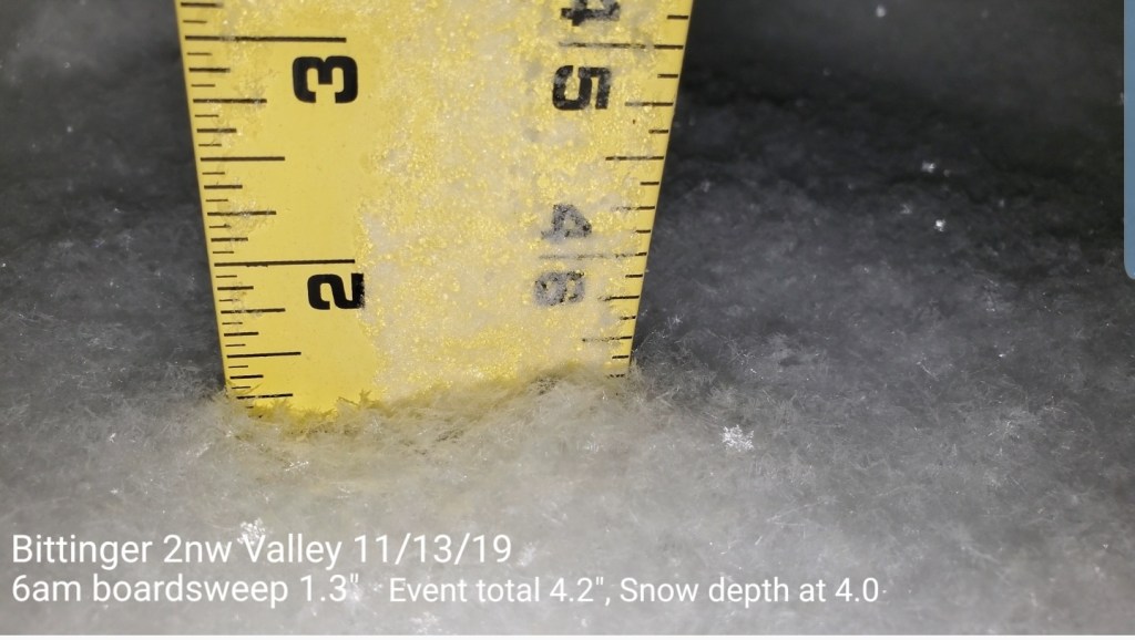
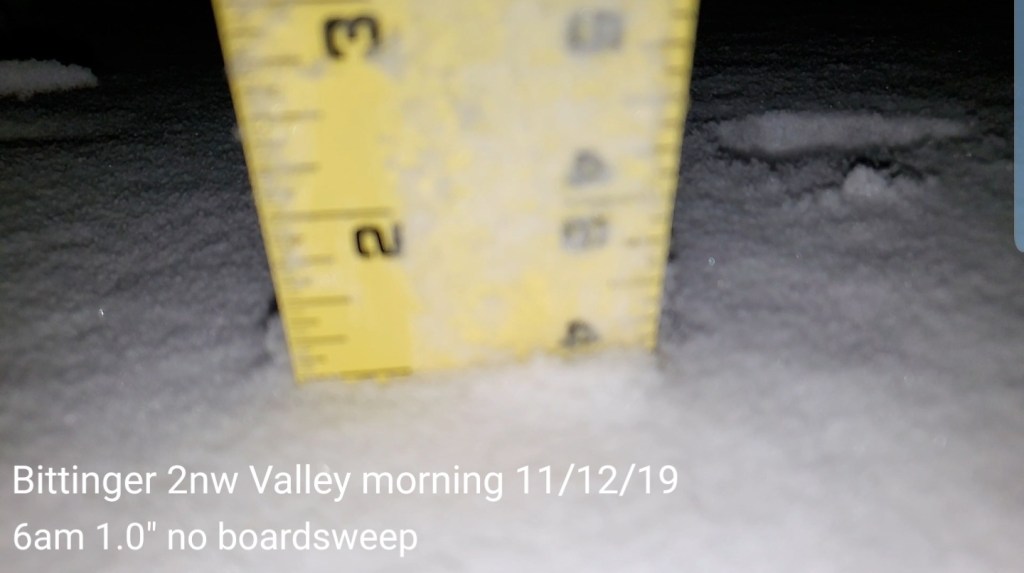
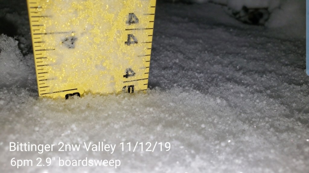
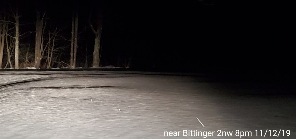
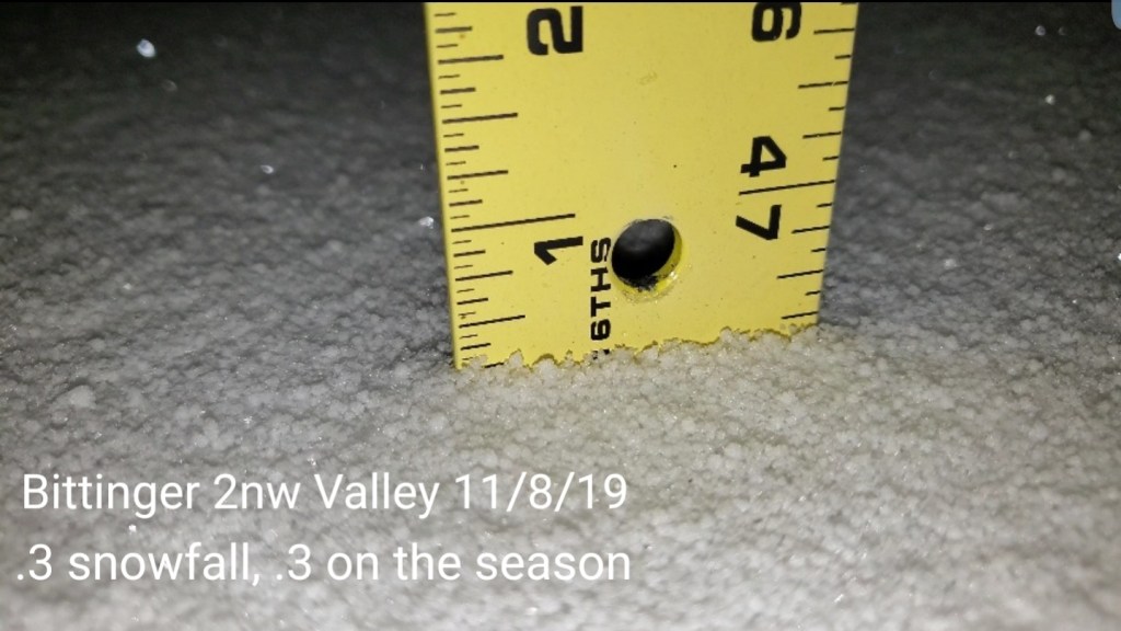
Snowfall:
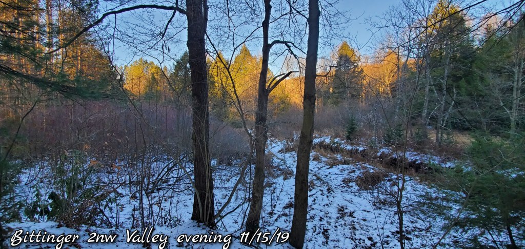
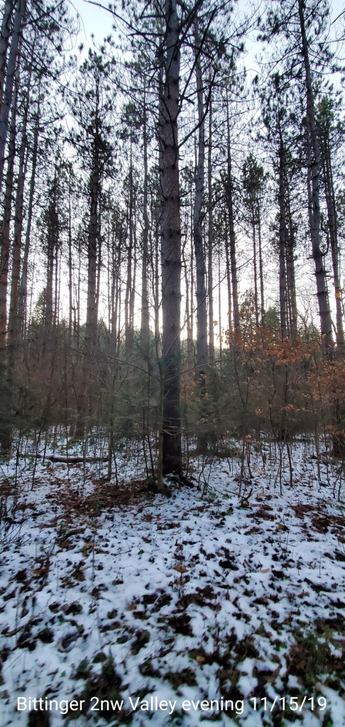
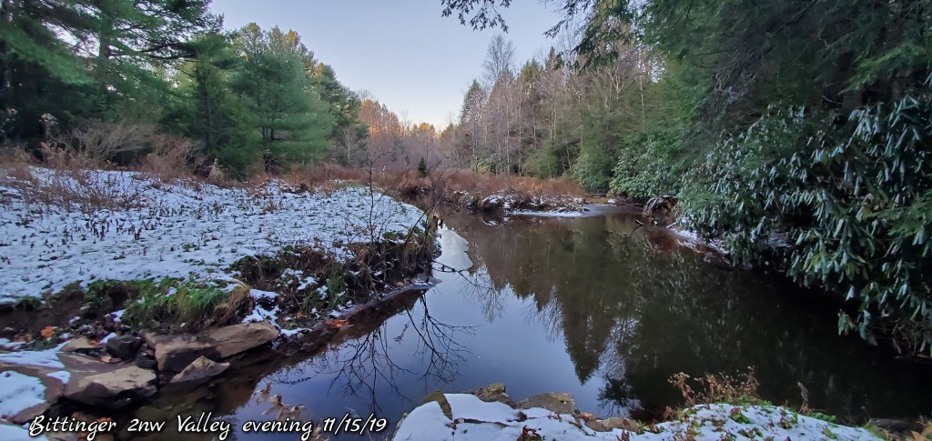
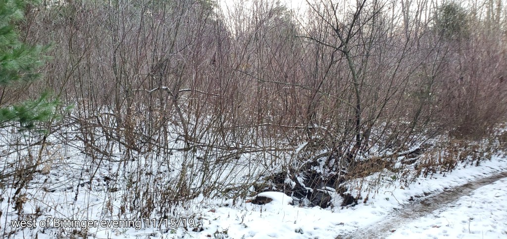
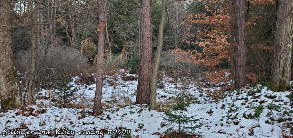
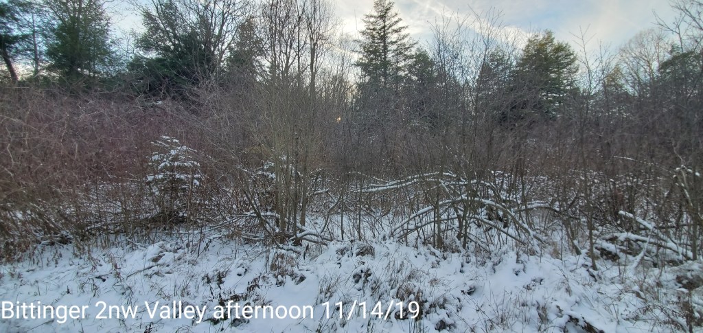
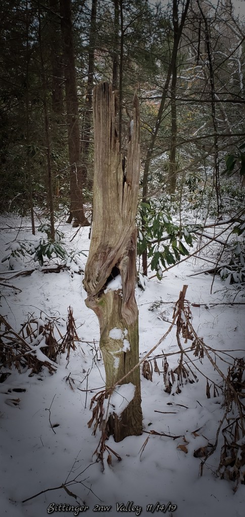
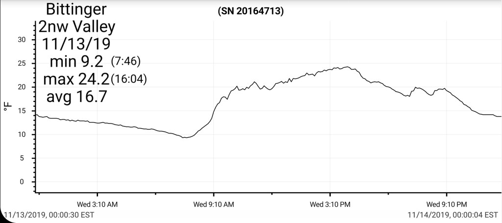
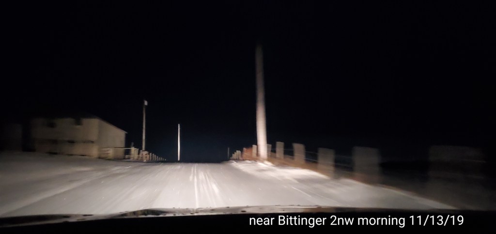
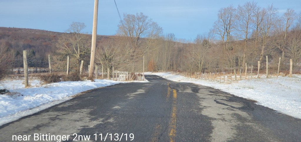
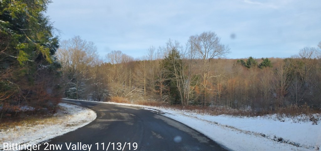
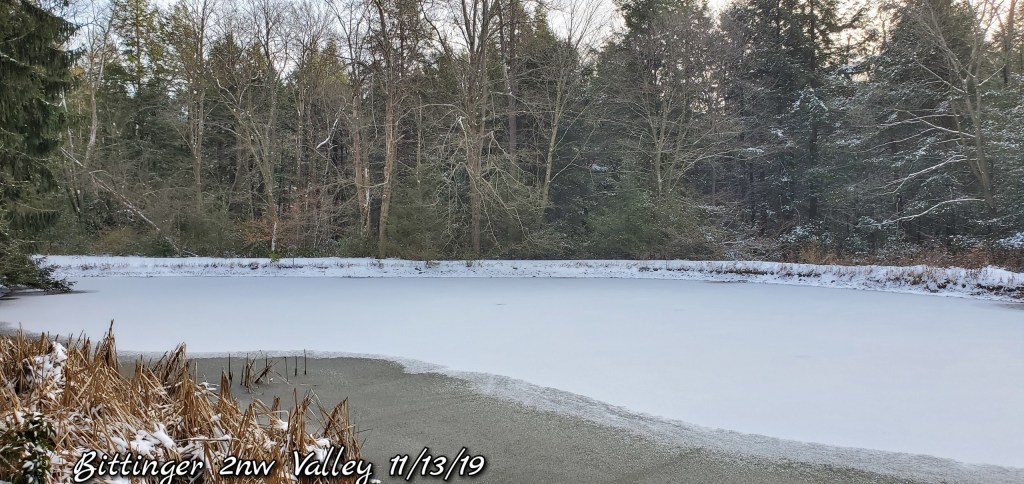
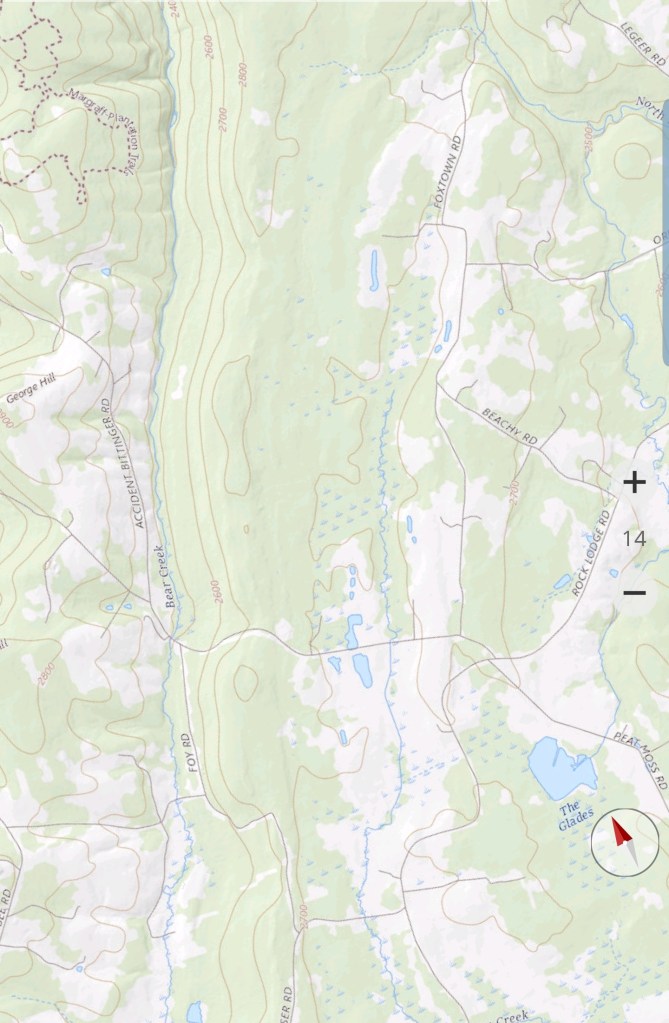
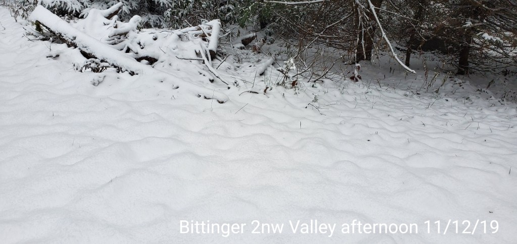
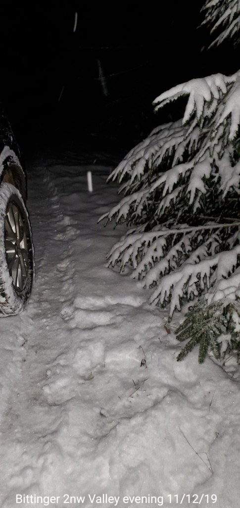
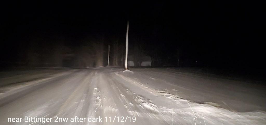
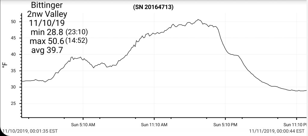
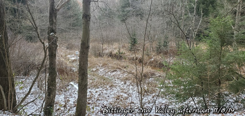
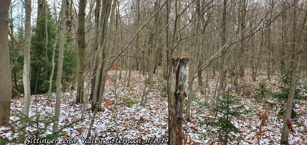
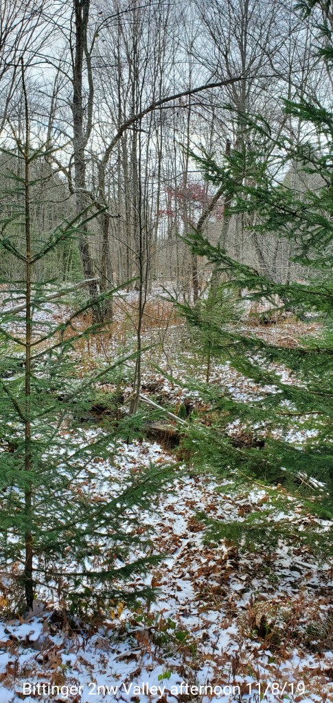
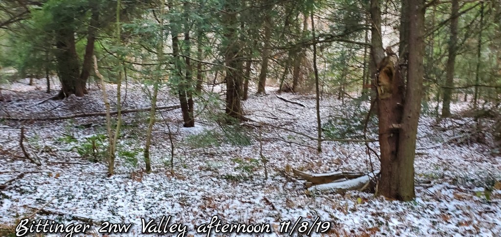
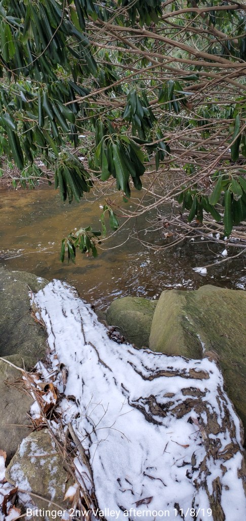
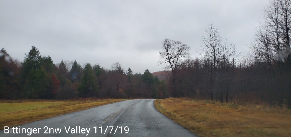
Bittinger 2nw Valley- picked up 1.3″ overnight of absolute fluff. Event total of 4.2″. A morning snowdepth of 4.0″ and a 6pm snow depth of 2.8 with cold temps today, so that gives an idea of how much fluff this was, as in- mostly air with the flakes softly landing and stacking on top each other without settling. This brings the season to date total of 4.5″
Canaan Heights_Davis 3SE picked up 5.2″ event total 5.9″ and year to date 6.9″
Satellite
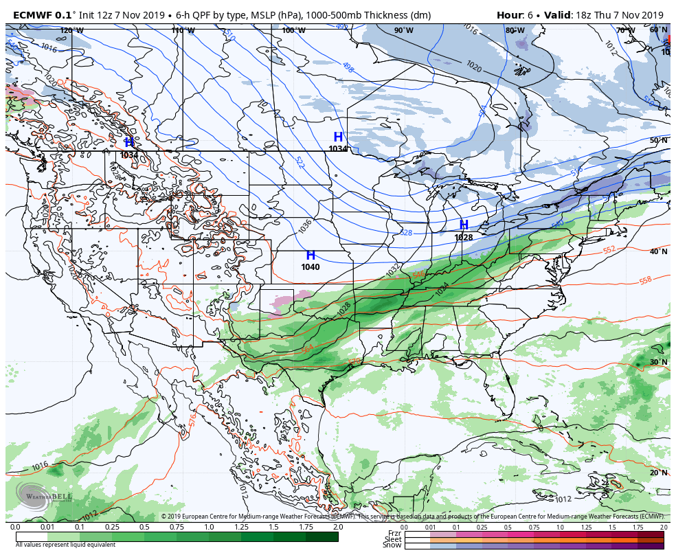
Flow
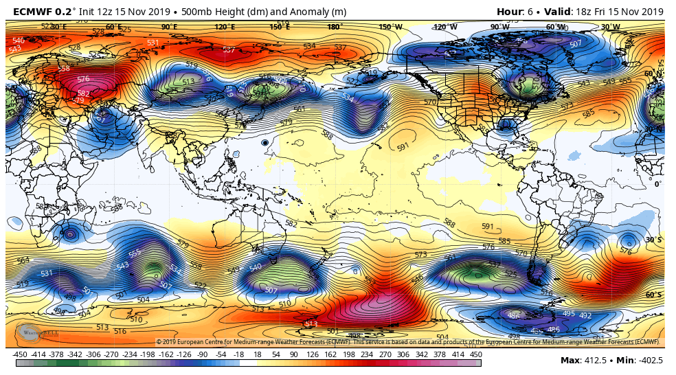
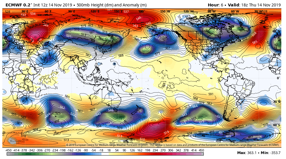
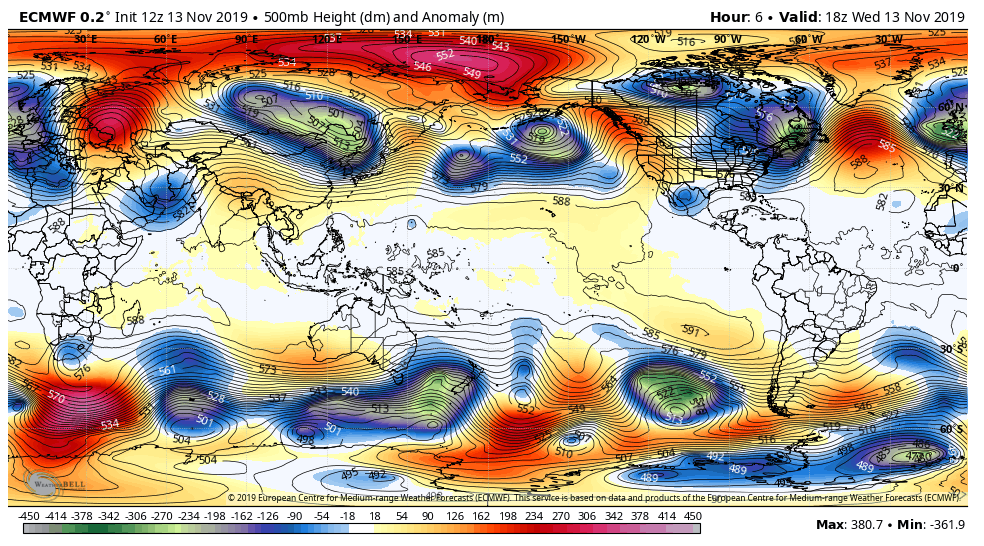
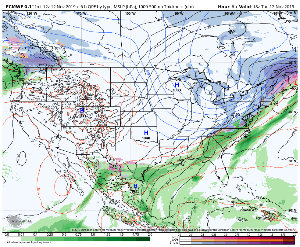
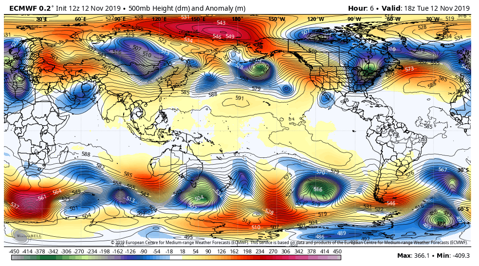
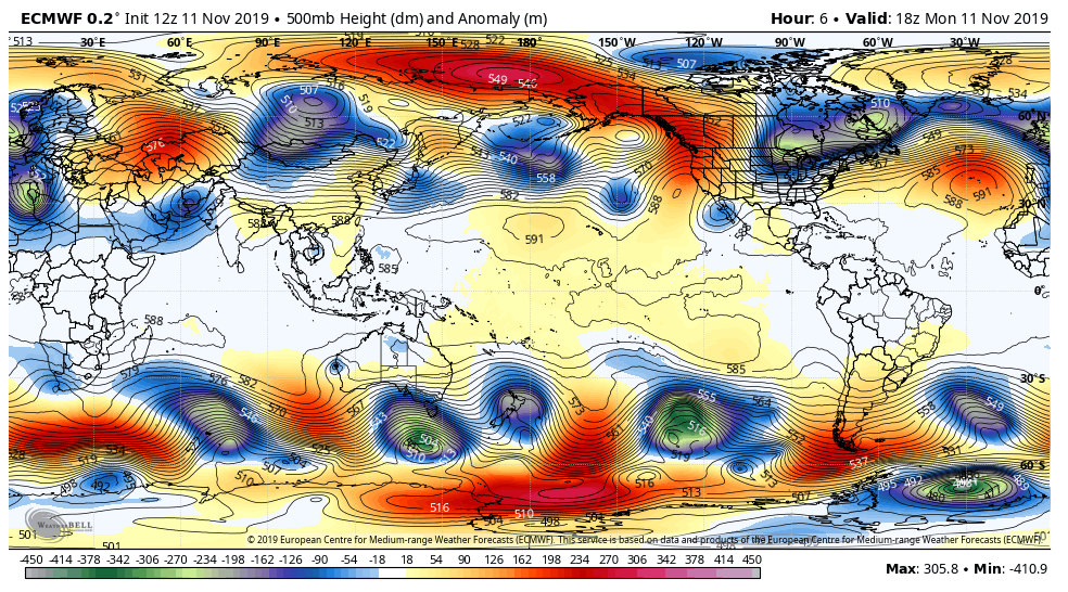
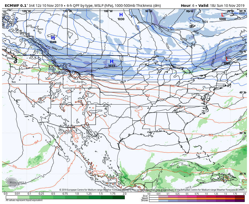
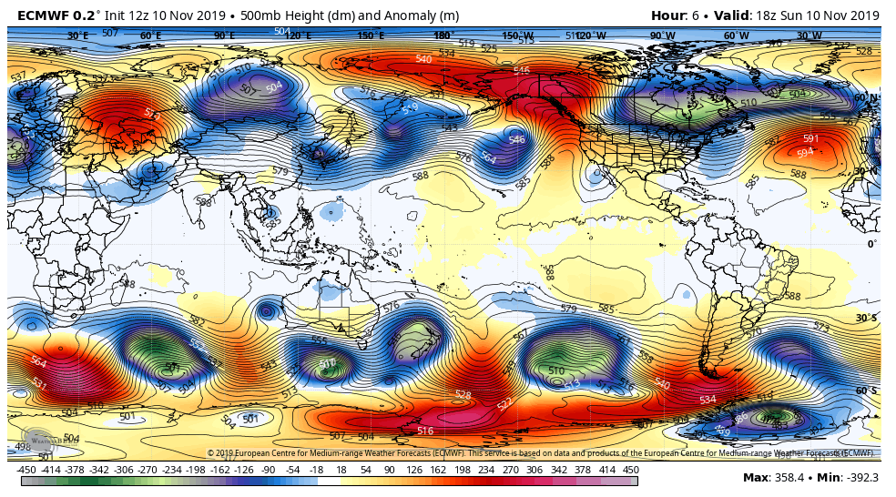
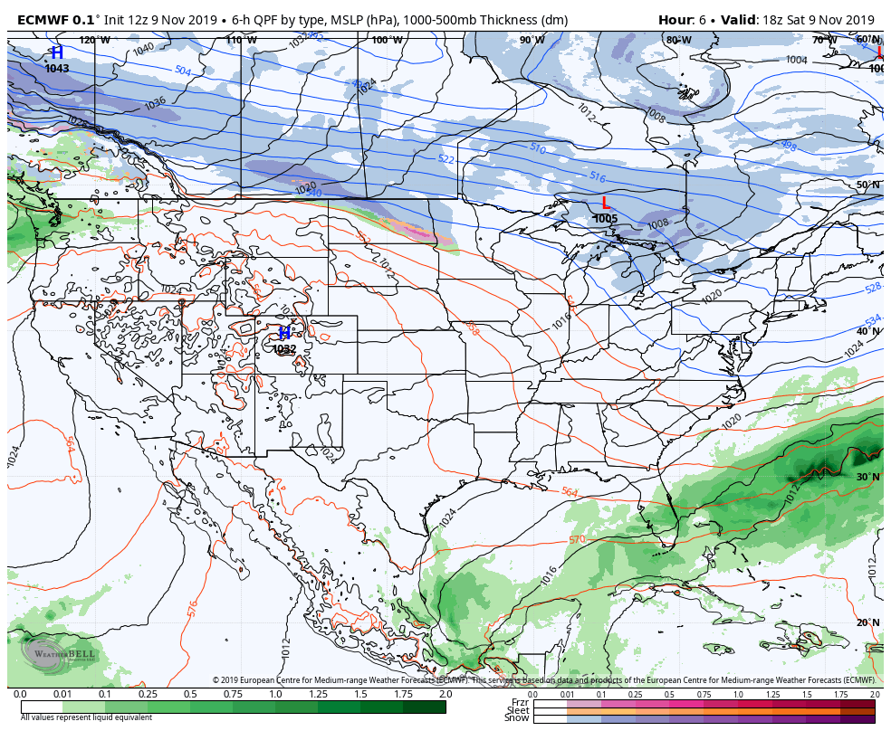
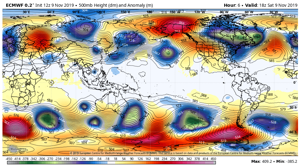
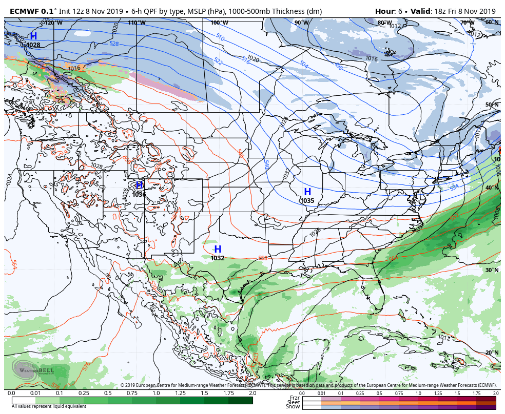
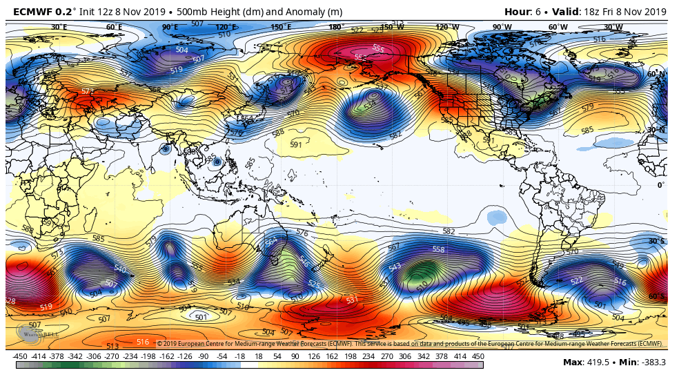
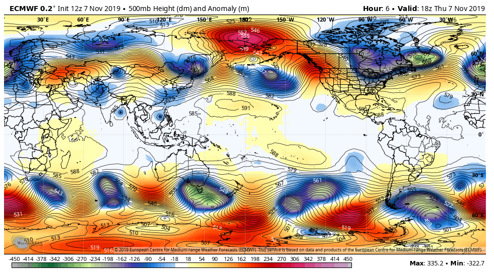
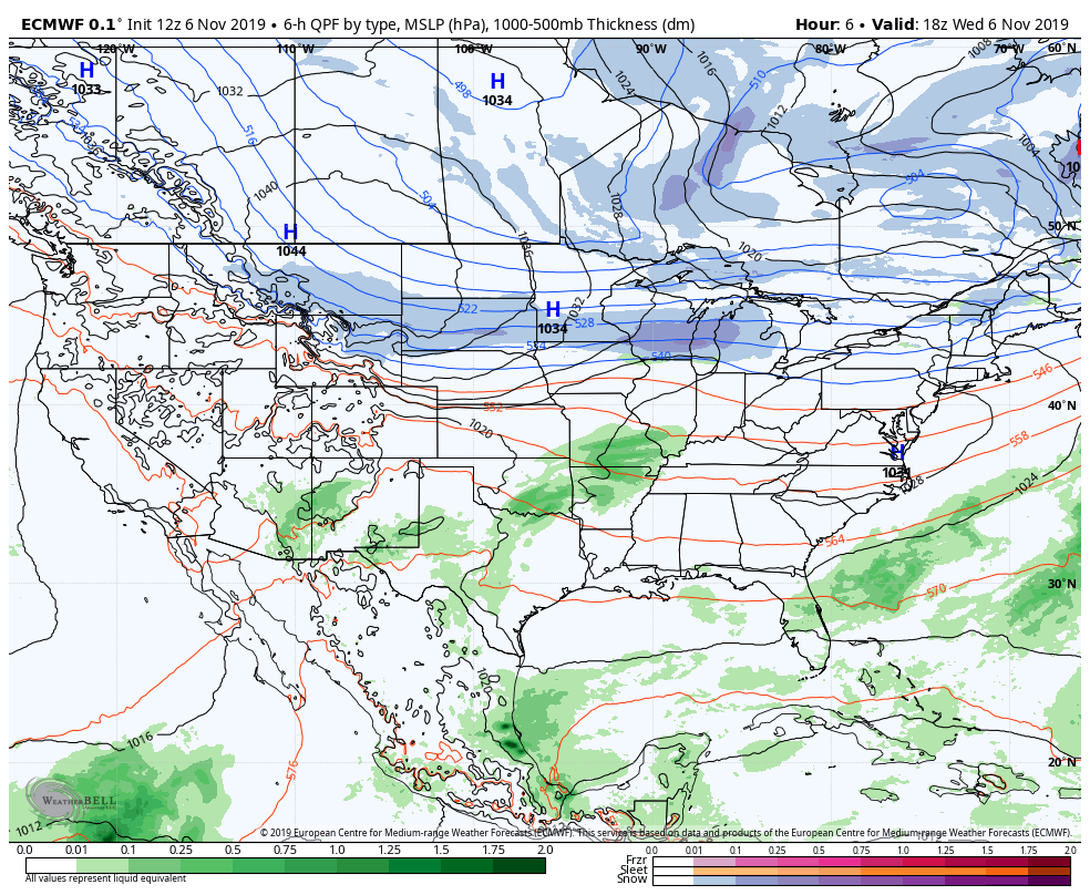
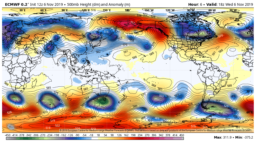
Surface features and 500mb height anomalies and flow
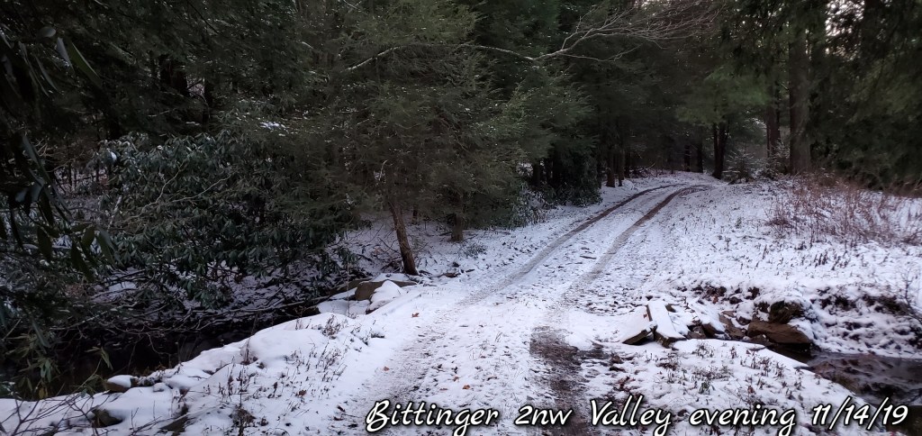
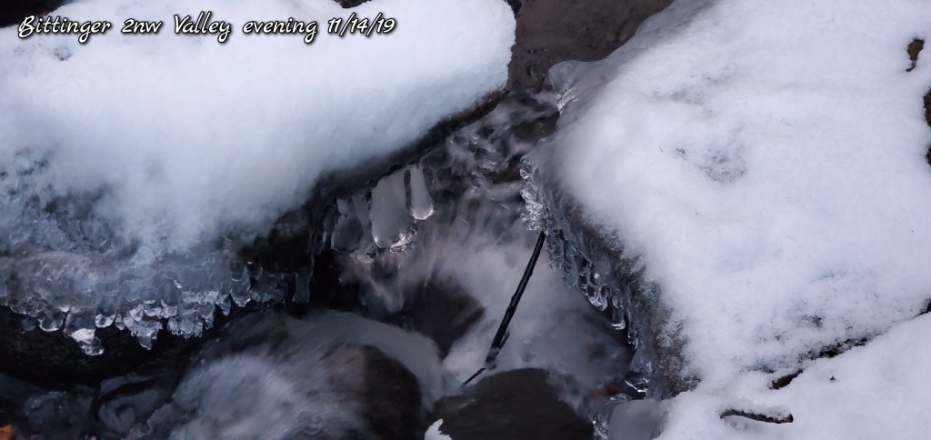
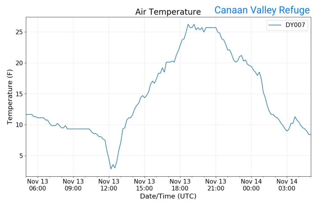
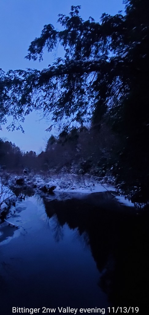
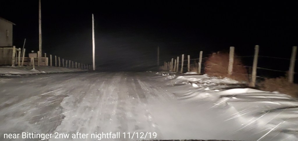
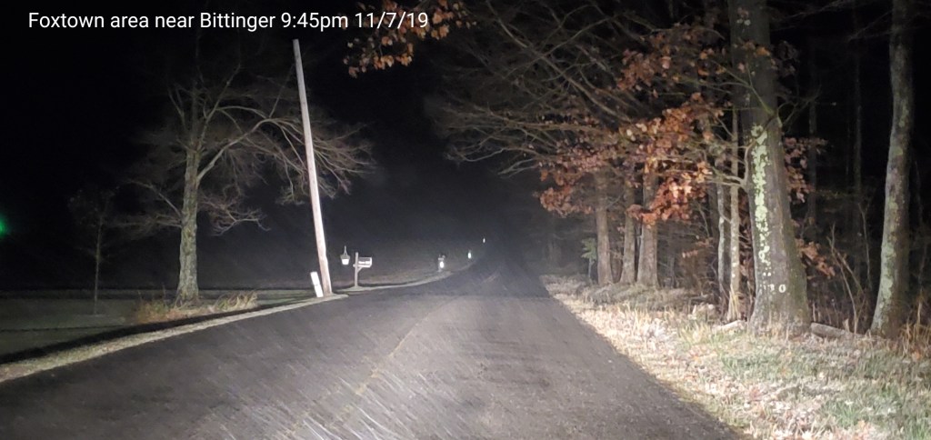
Early evening and often the case with an incoming cold front with precip, conditions go calm in the Valley, skies- if clear or partly cloudy temps will obviously drop greater, but temps usually fall off fast, then rise fast ahead of the front as winds increase. Case in point- the Valley last night.
Radar void, precip west moving in after midnight
Satellite
Flow
Surface features and 500mb height anomalies and flow
Mostly cloudy, scattered flurries, light snow showers…mainly just overcast, brief peaks of sun. Coldest day of the season to date. After dark, skies cleared, temps fell in the valleys. Most high ground temps were midnight and held teens all day.
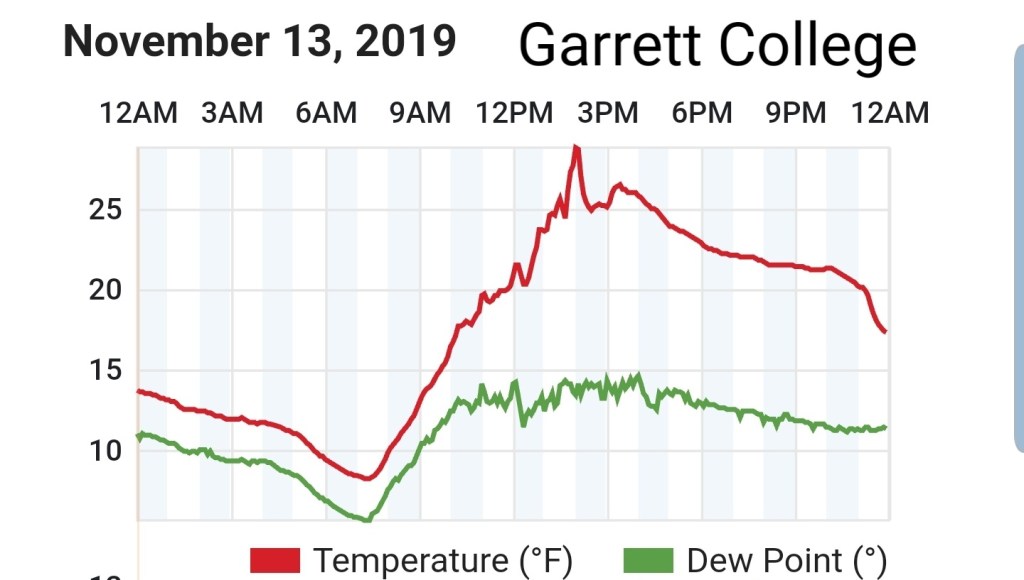
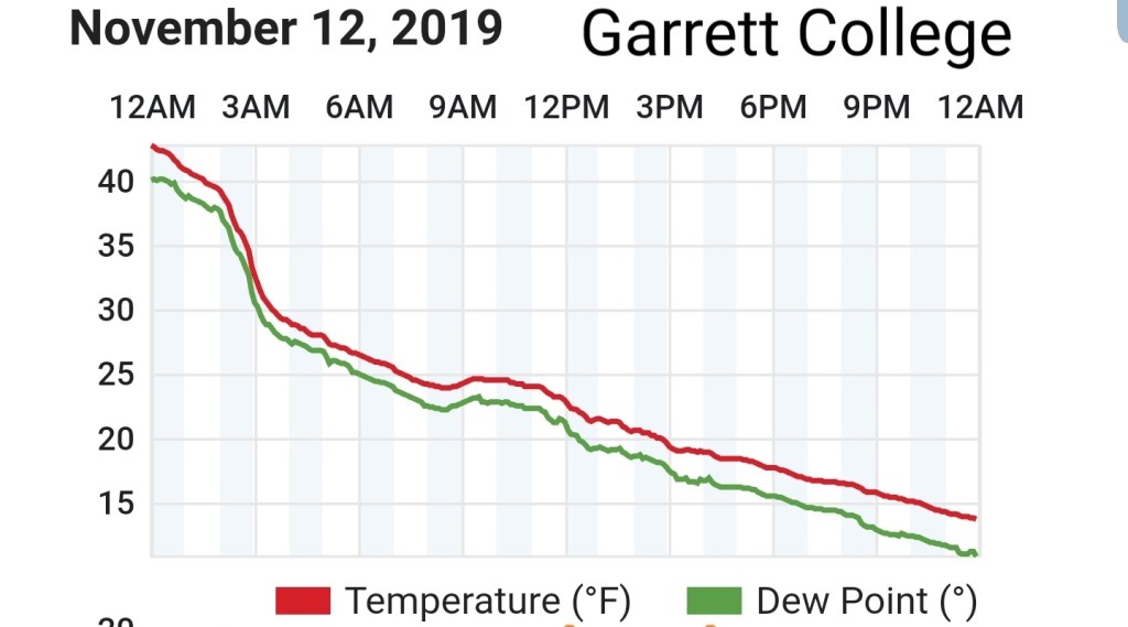
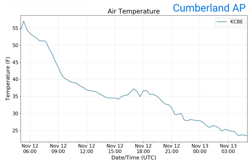
Temps today
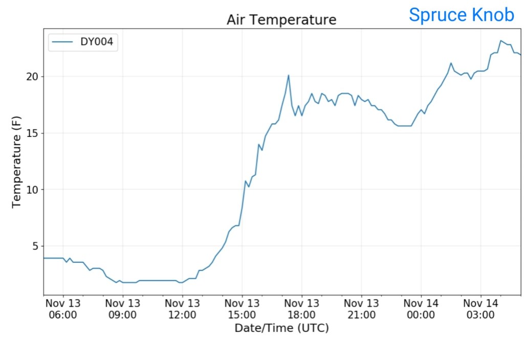
Midnight maxes were common. High ground held teens during the day(some graphs in UTC time. 5 hours ahead of EST)
Valley site vs Cabin Mt
Radar- light upslope mostly all fell under radar
Snowfall
Bittinger 2nw Valley .3 at 7am, no additional during the day despite some light pockets of snow.
.3″ season to date total
Canaan Heights /Davis 3SE data by Dave Lesher
.8″ with 1.0″ on the season
Satellite
Flow
Surface features and 500mb height anomalies and flow
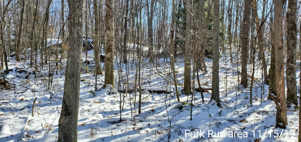
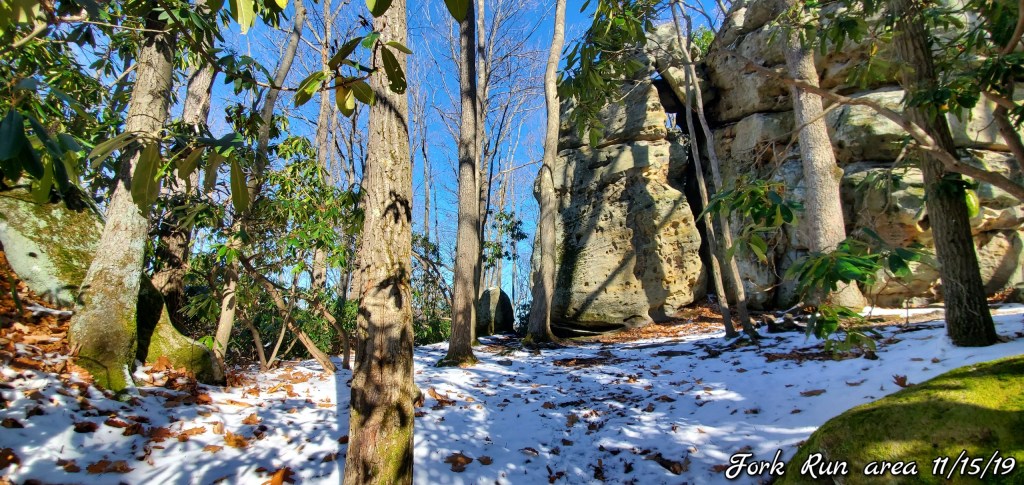
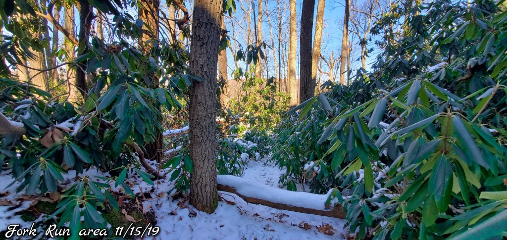
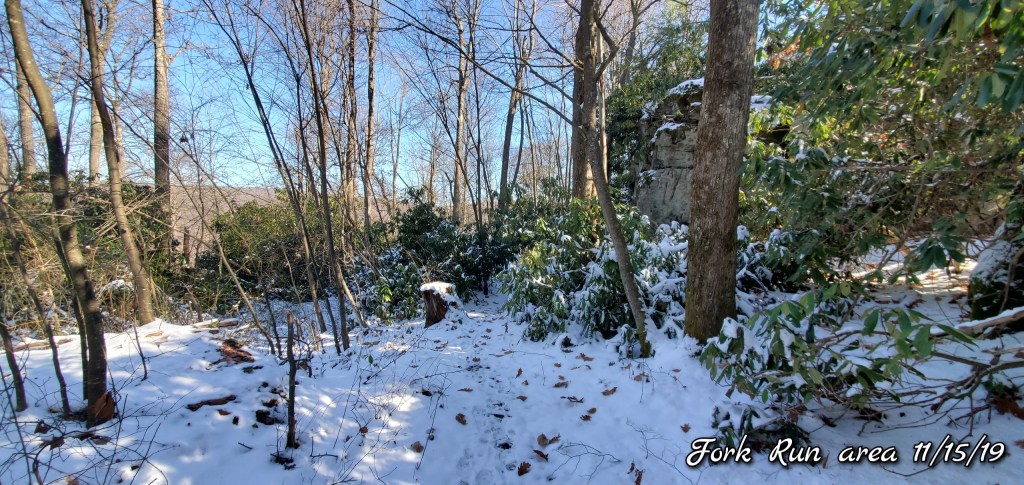
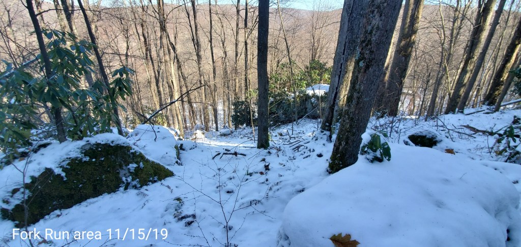
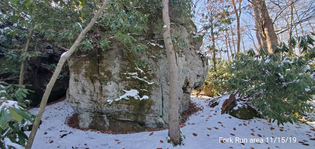
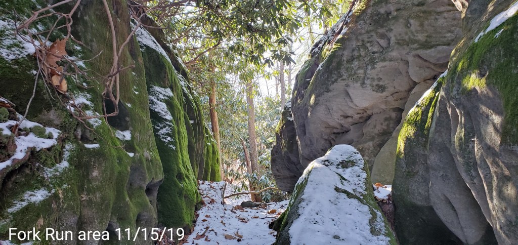
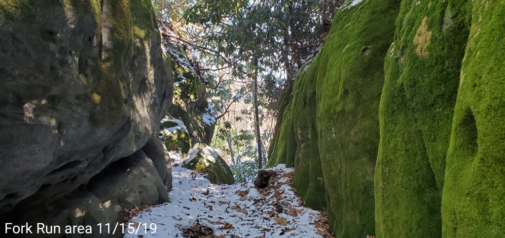
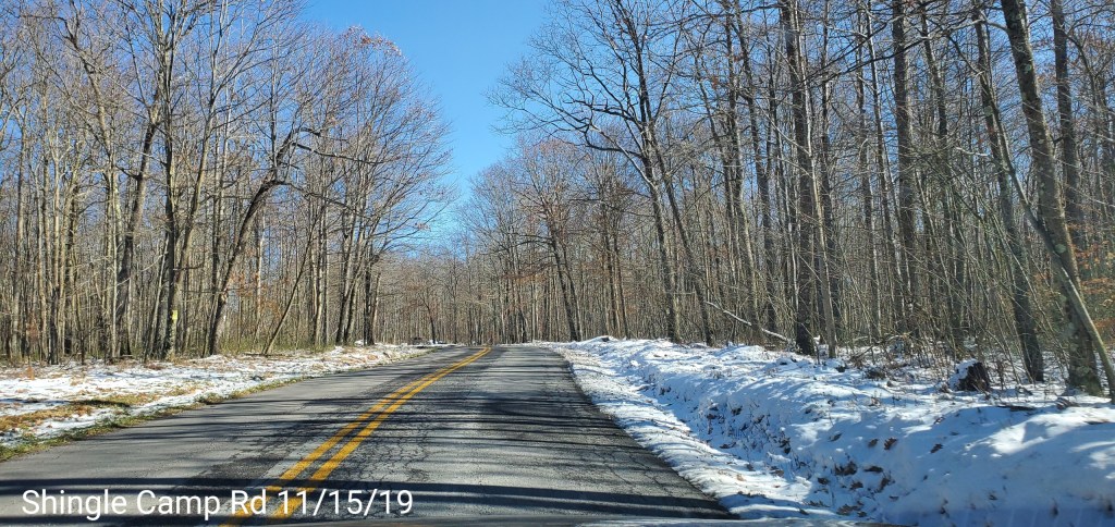
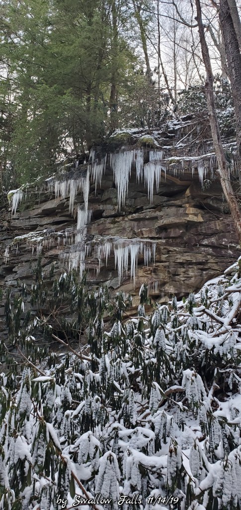
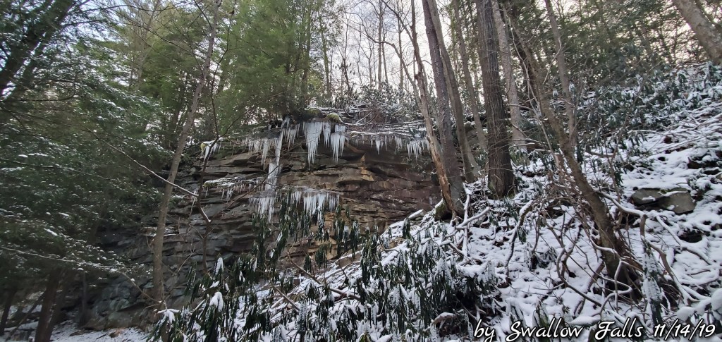
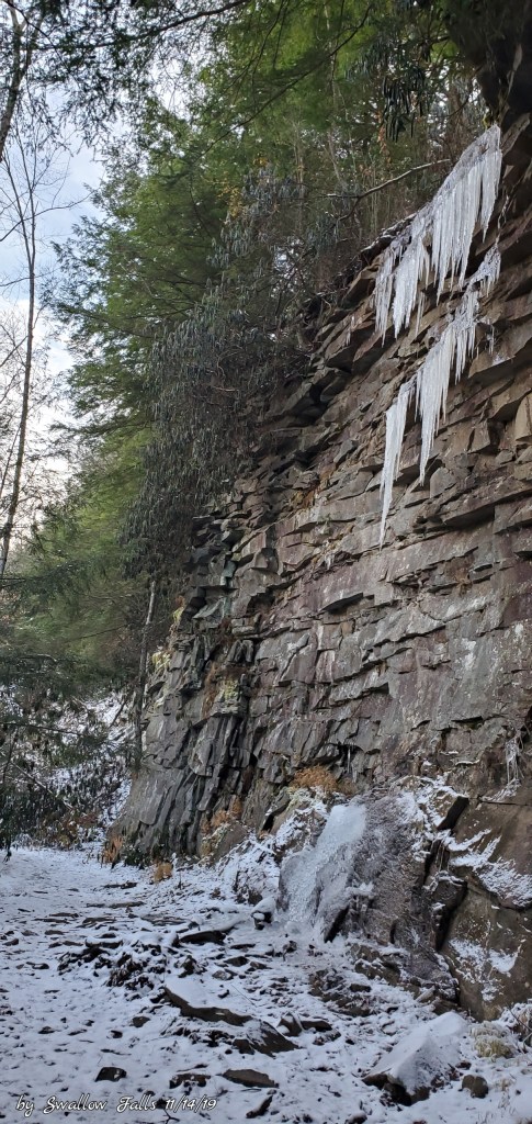
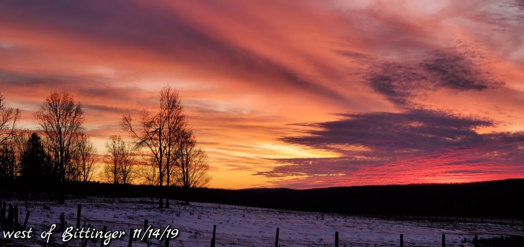
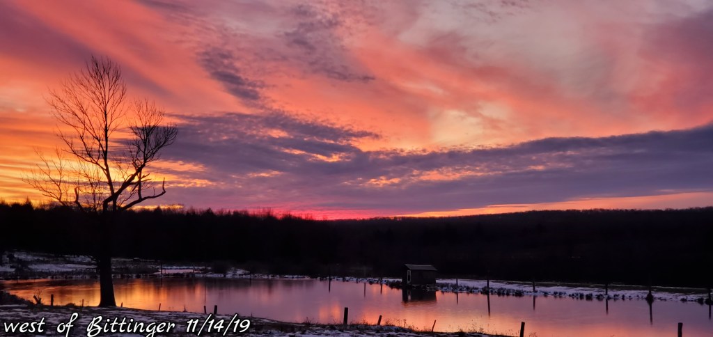
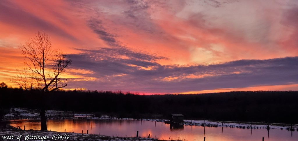
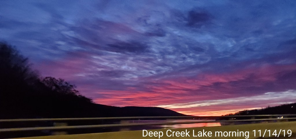
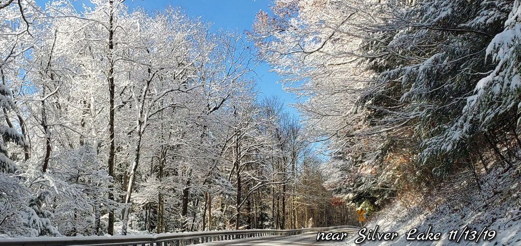
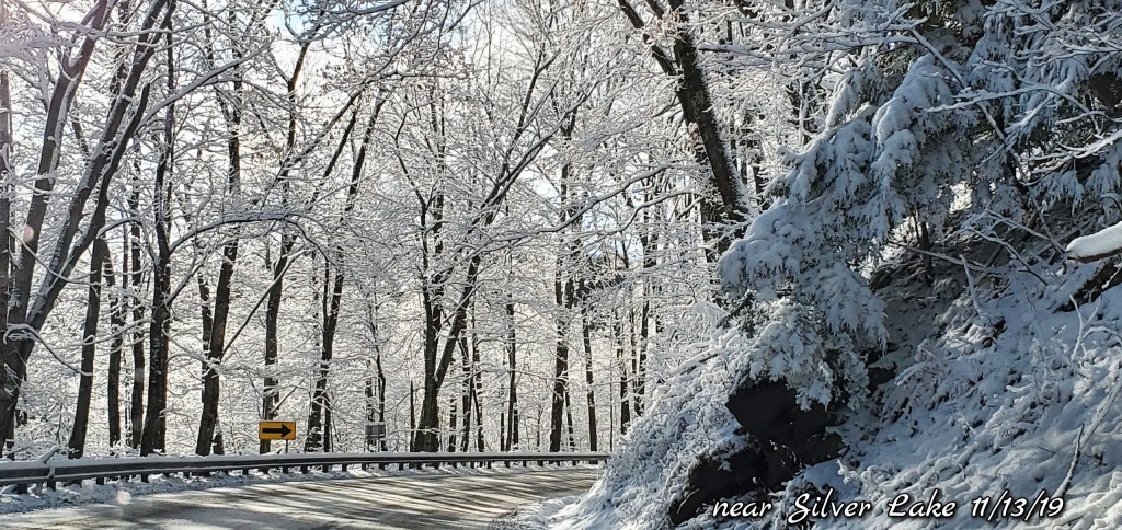
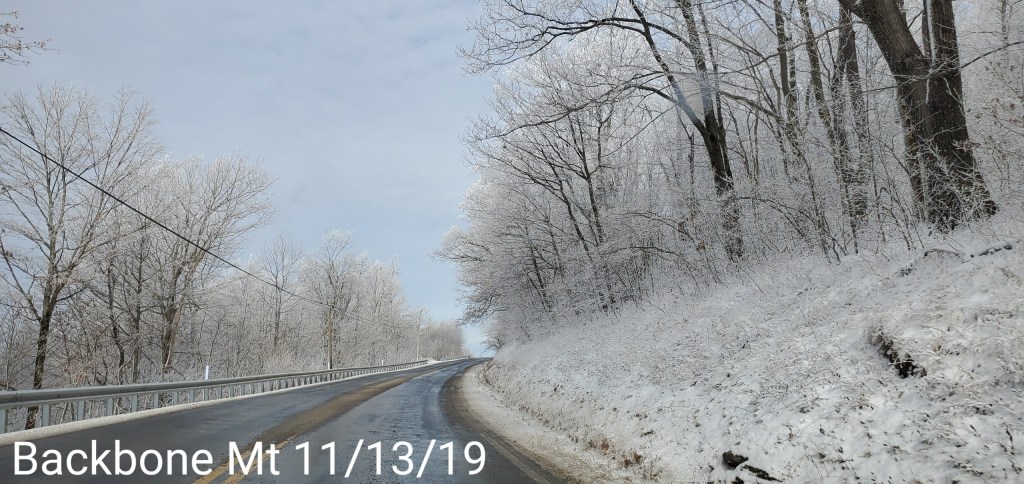
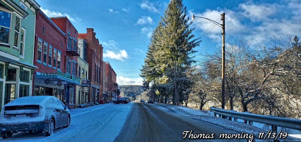
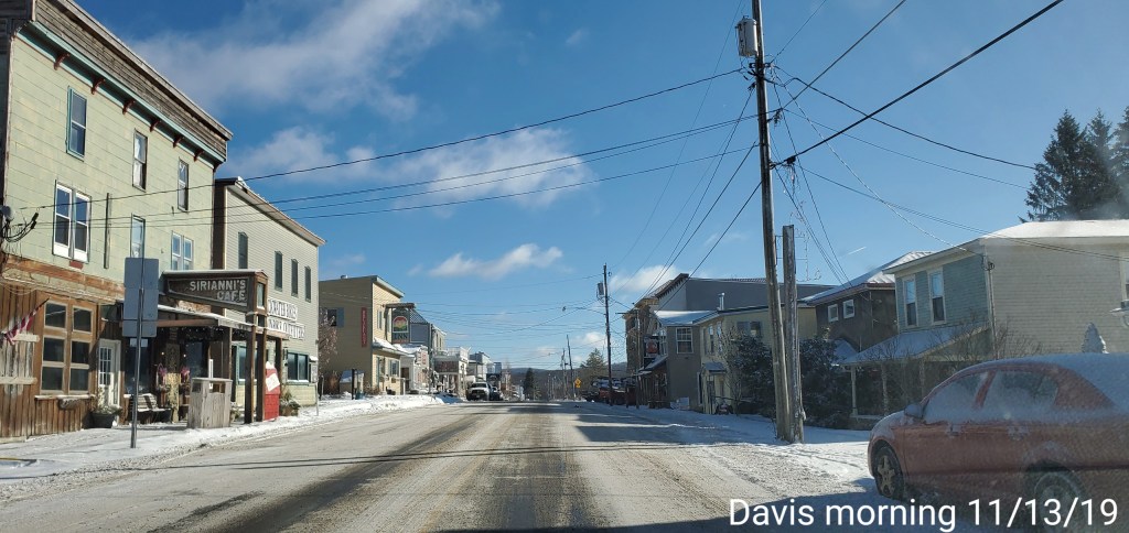
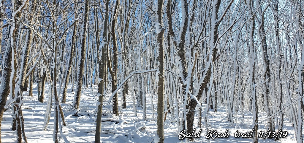
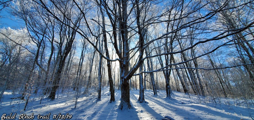
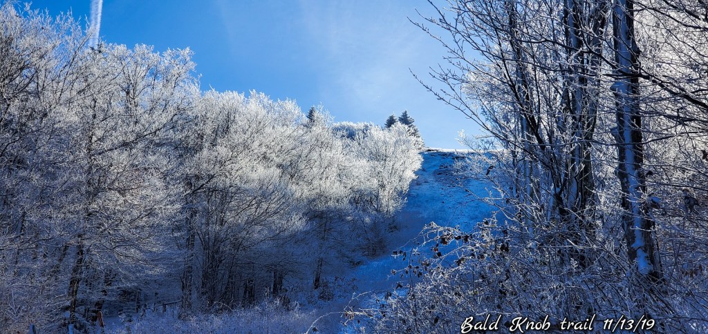
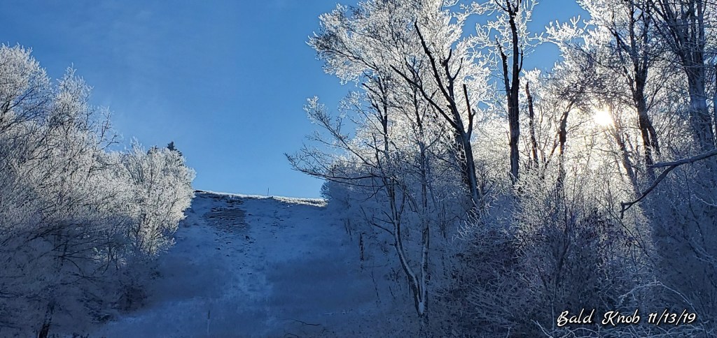
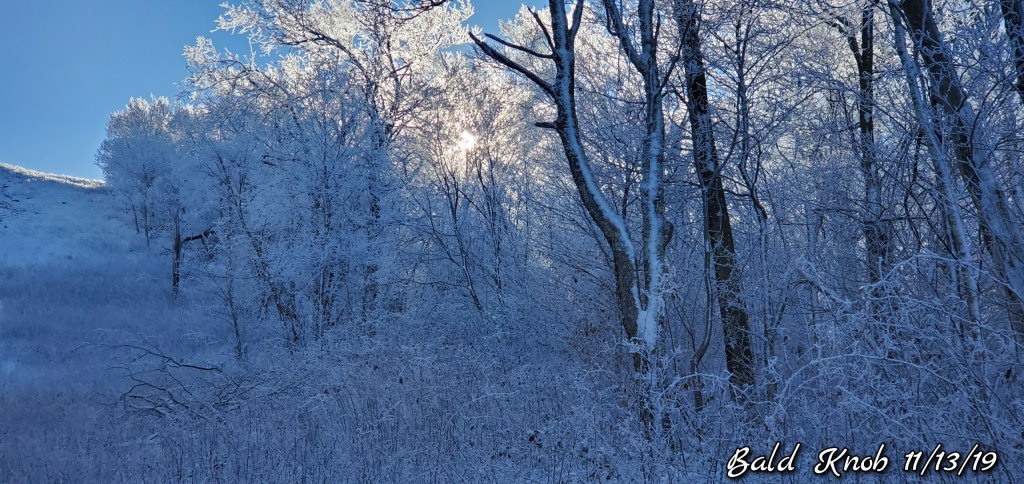
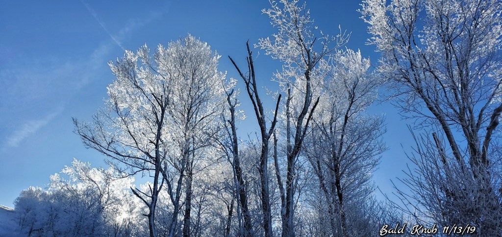
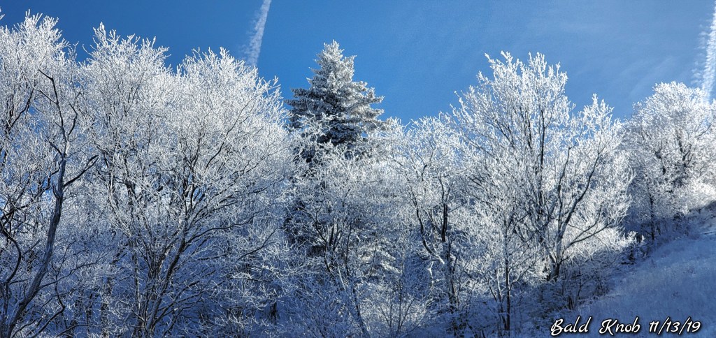
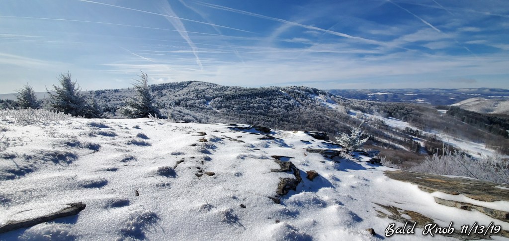
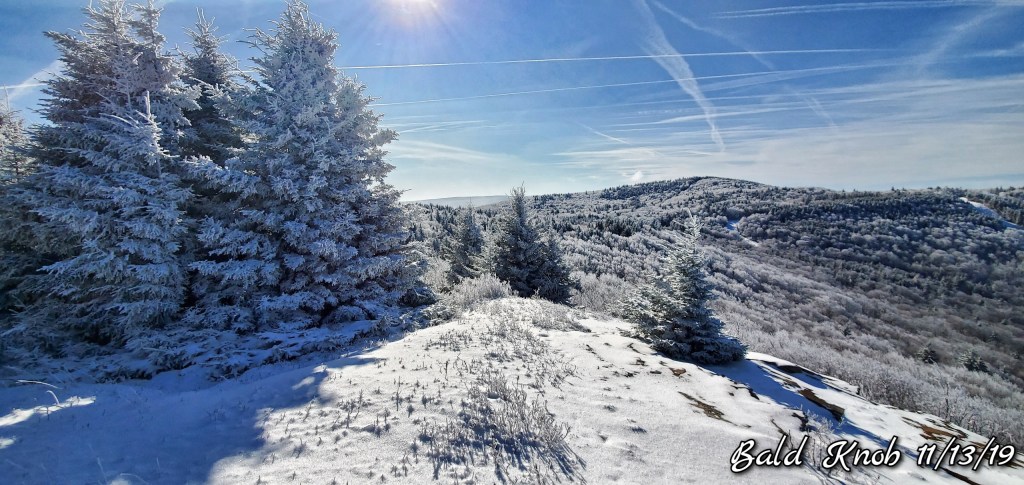
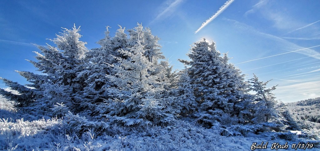
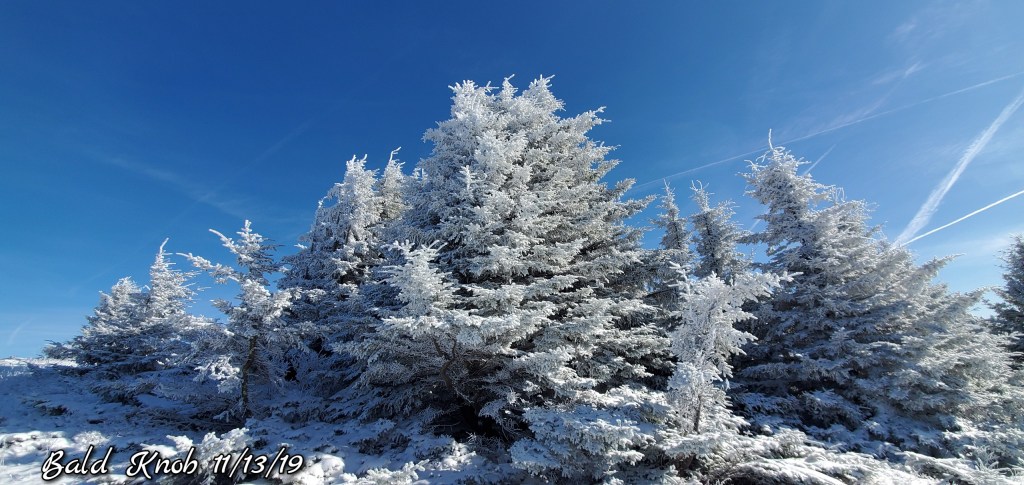
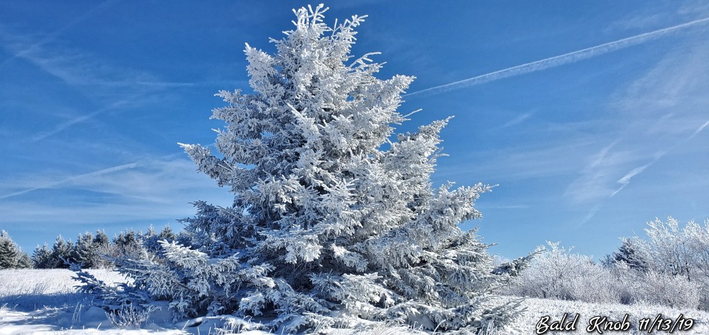
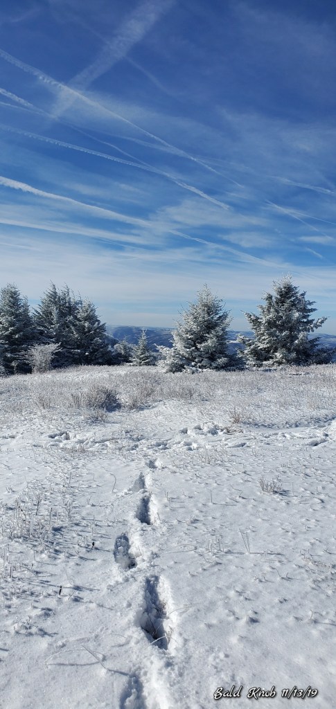
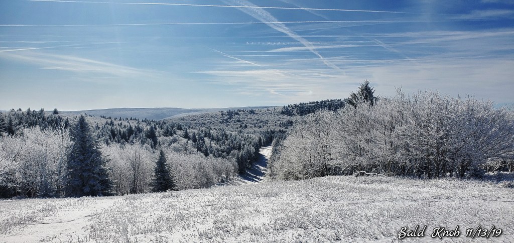
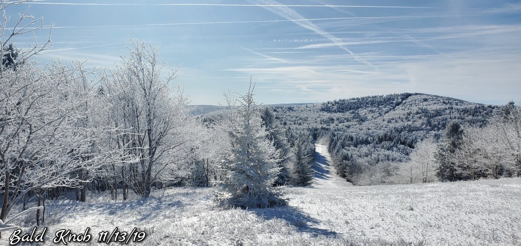
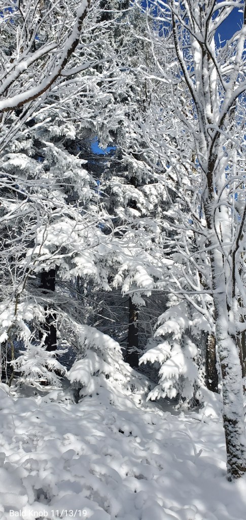
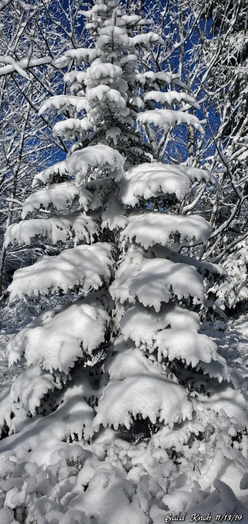
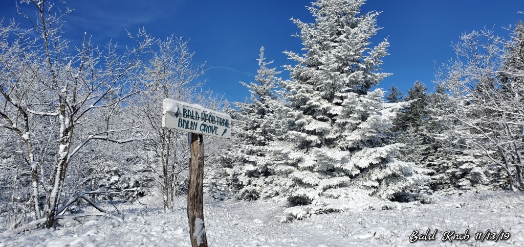
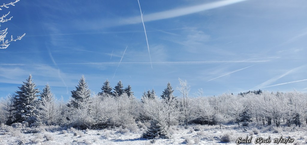
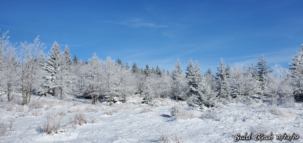
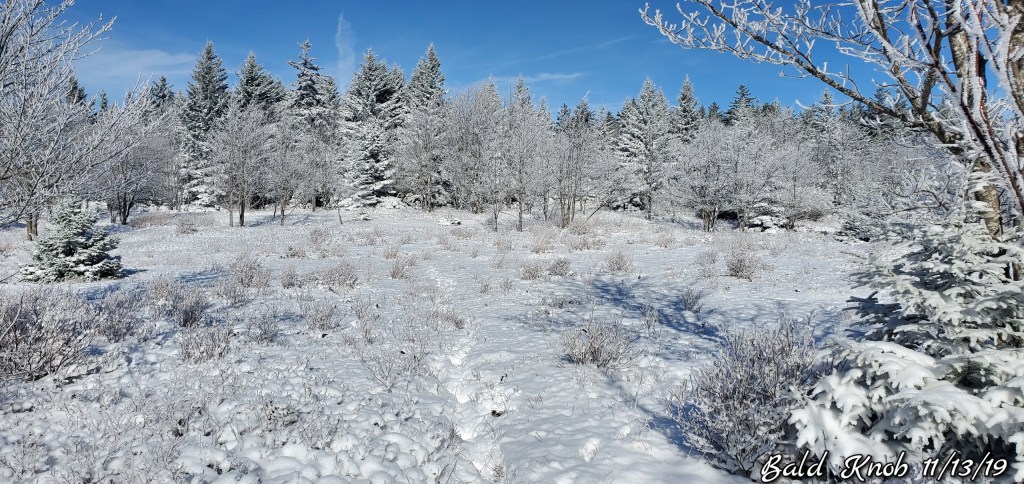
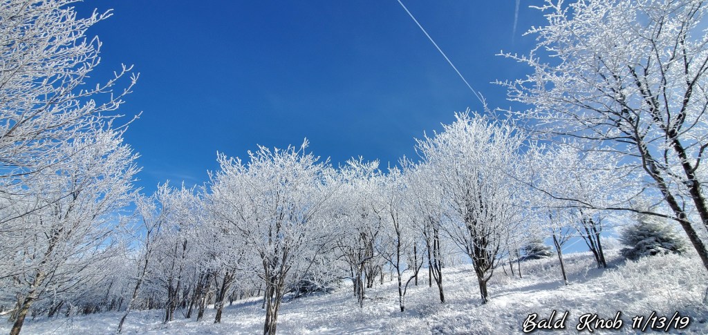
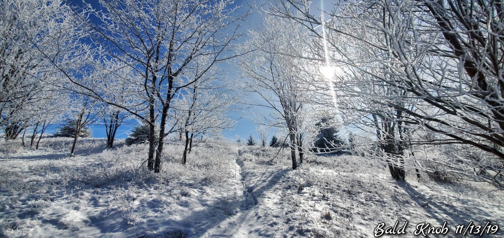
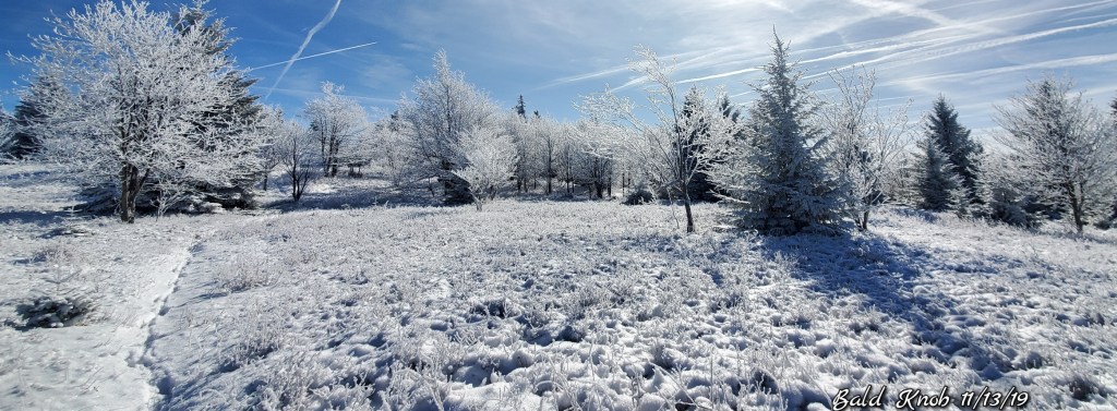
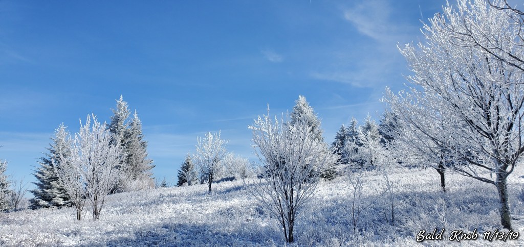
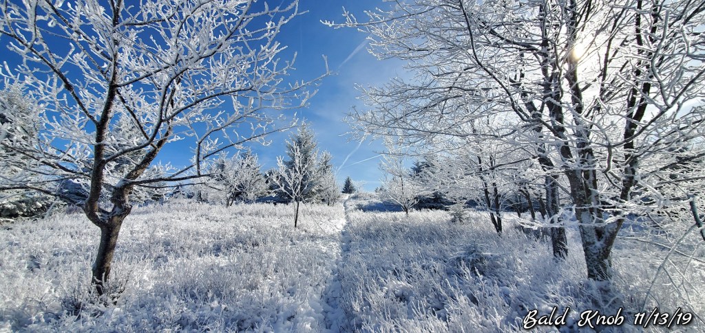
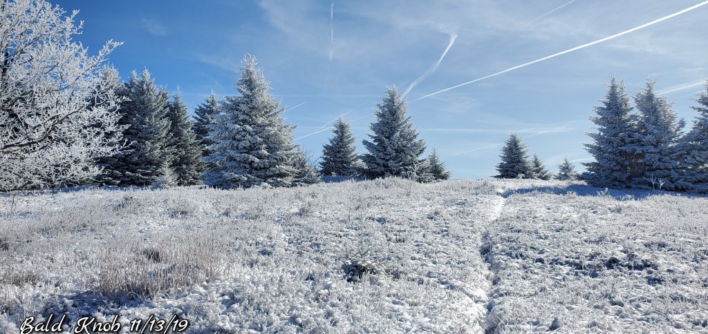
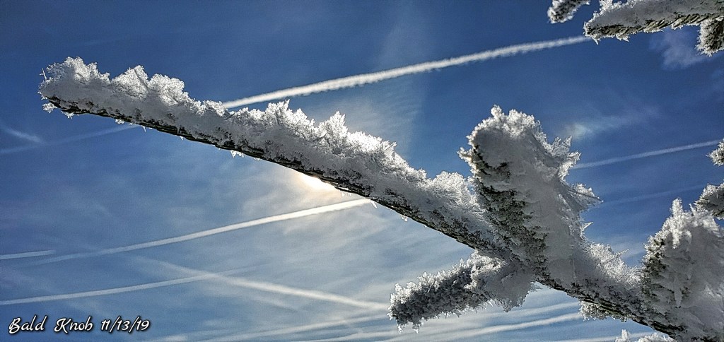
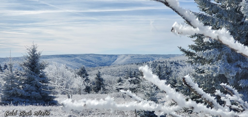
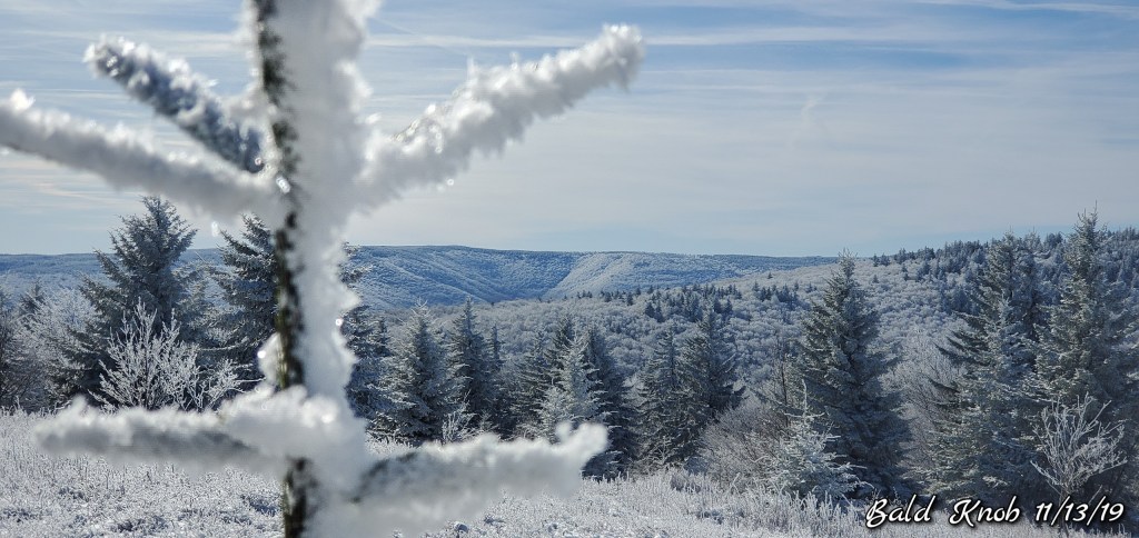
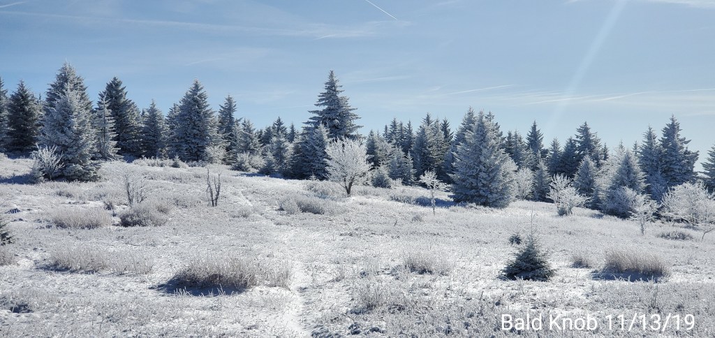
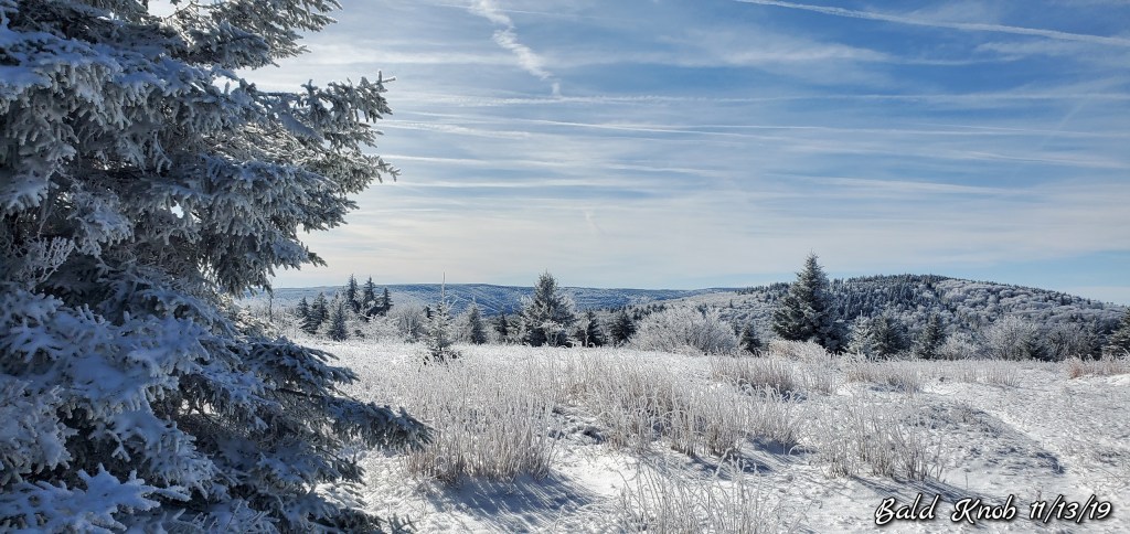
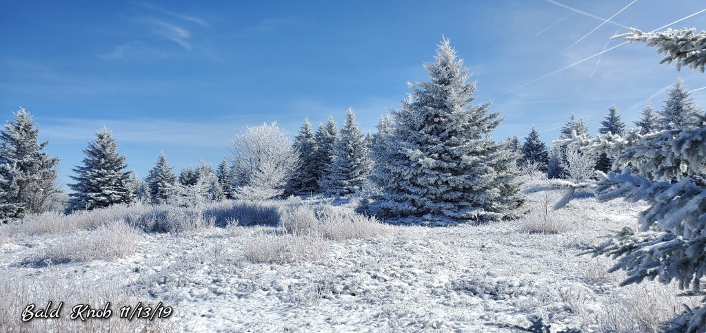
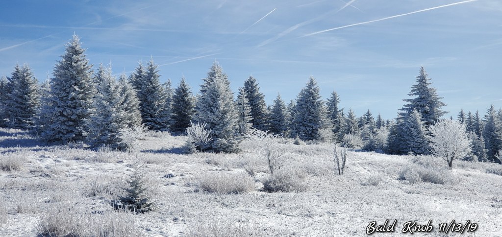
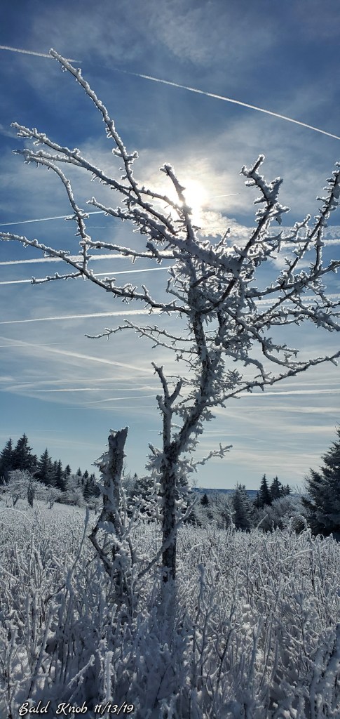
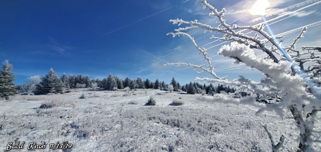
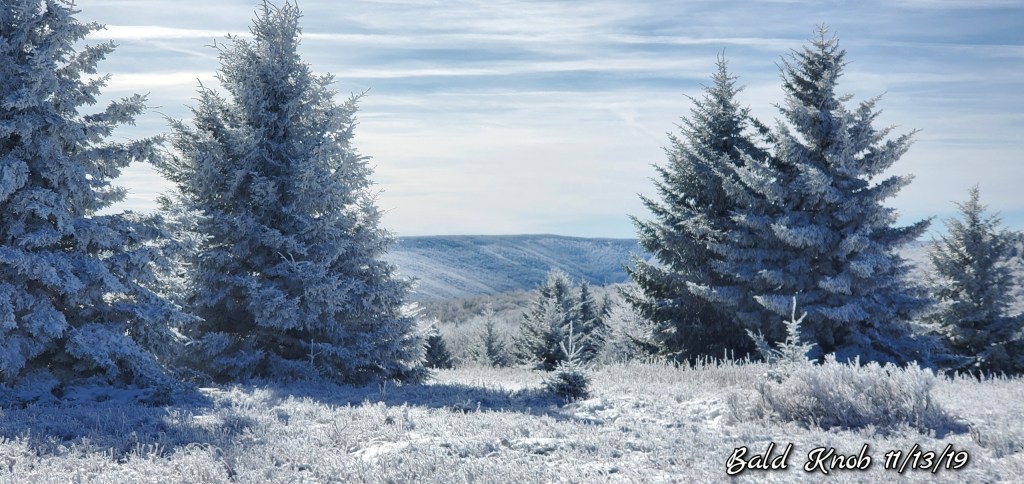
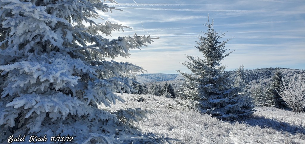
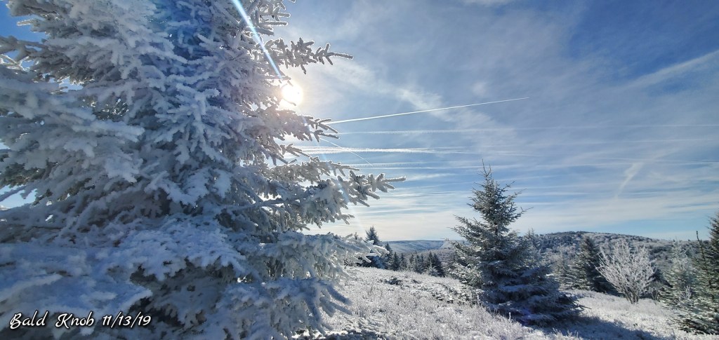
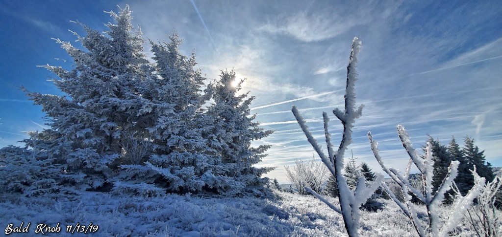
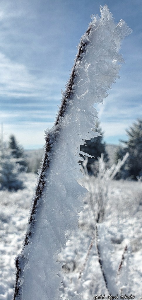
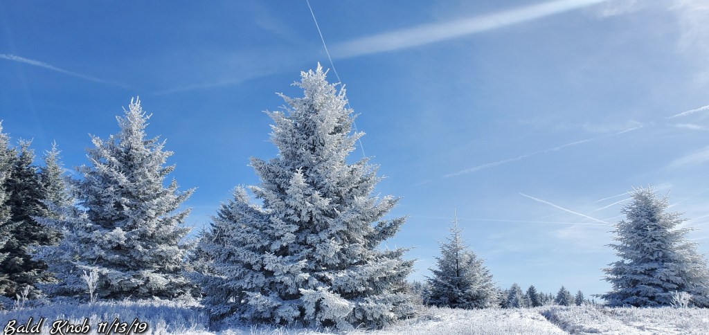
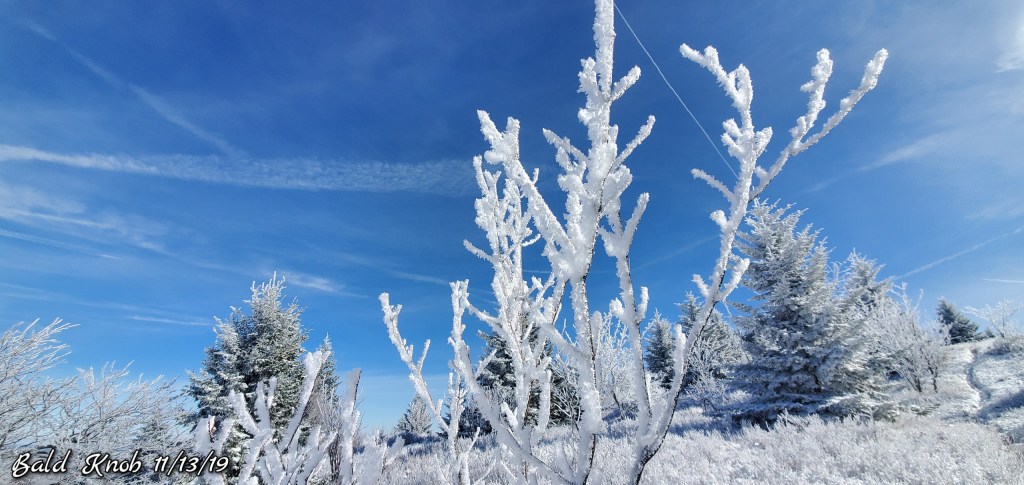
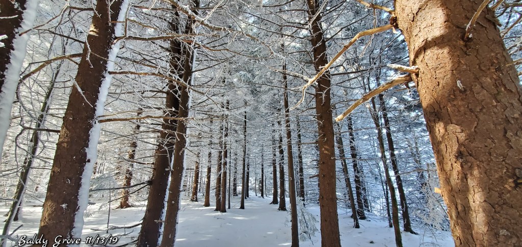
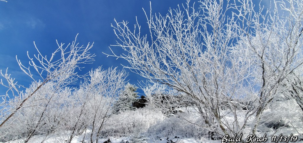
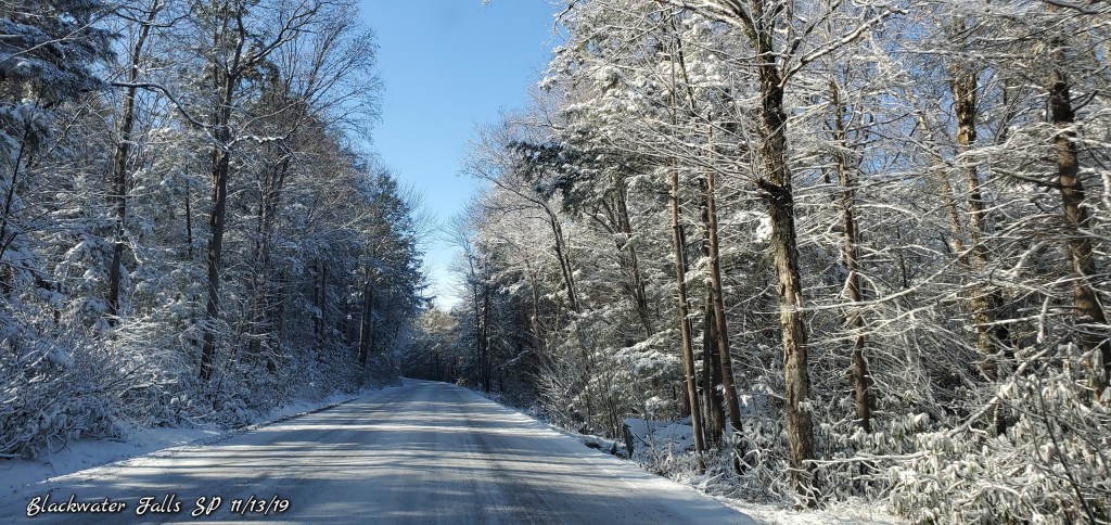
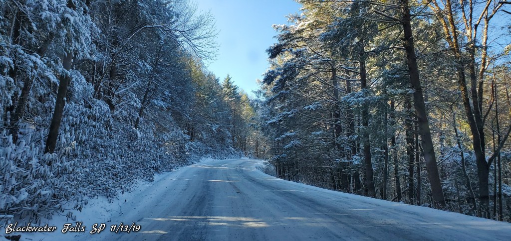
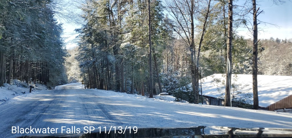
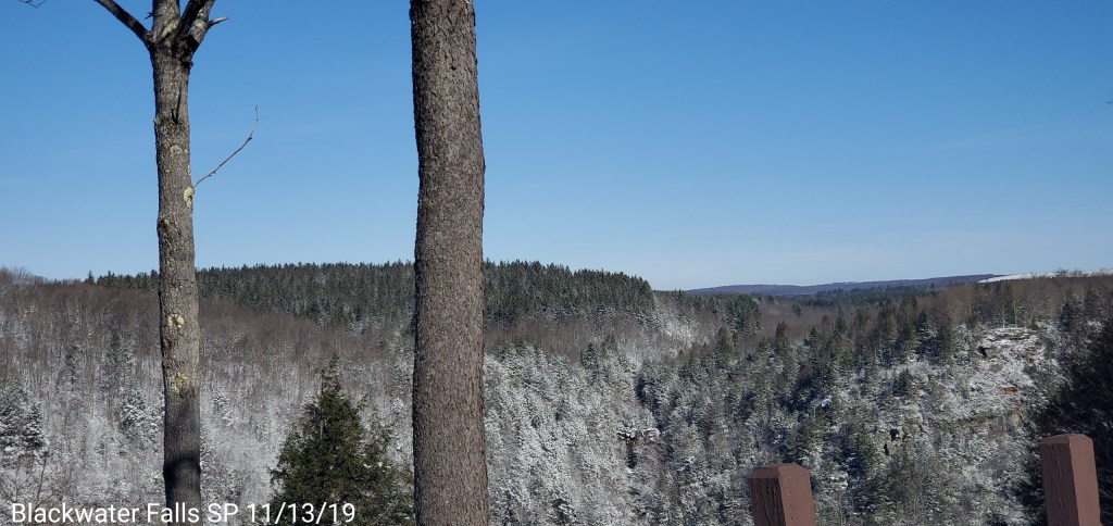
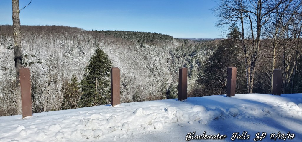
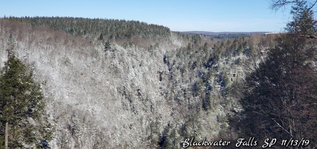
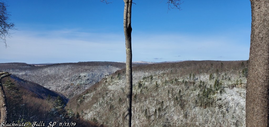
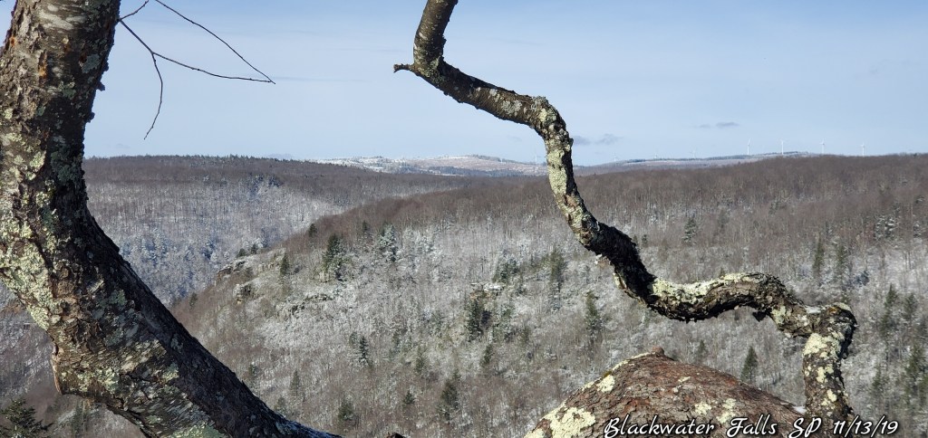
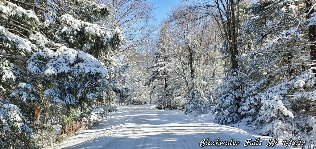
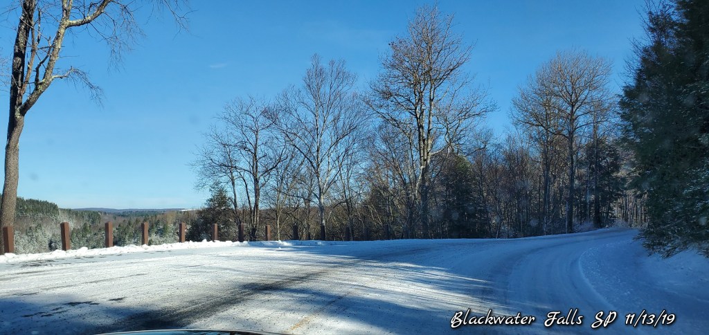
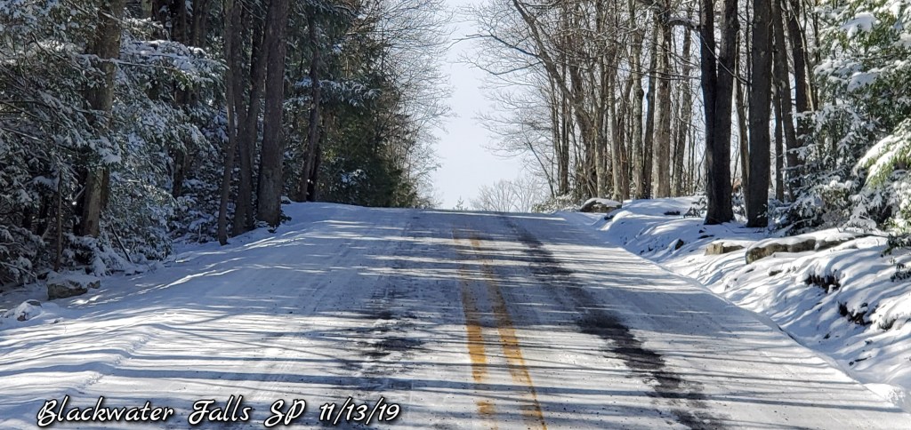
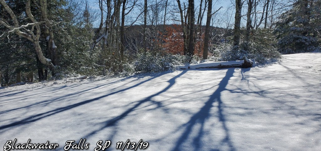
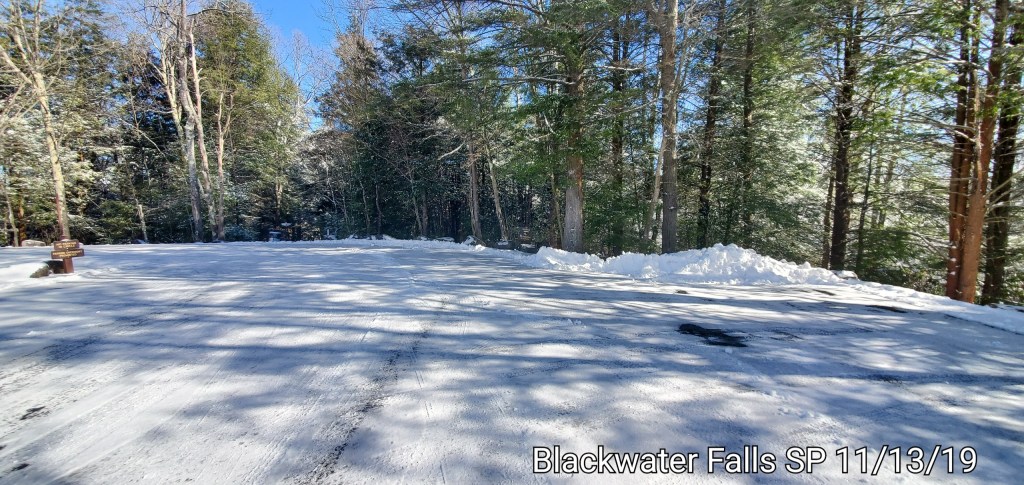
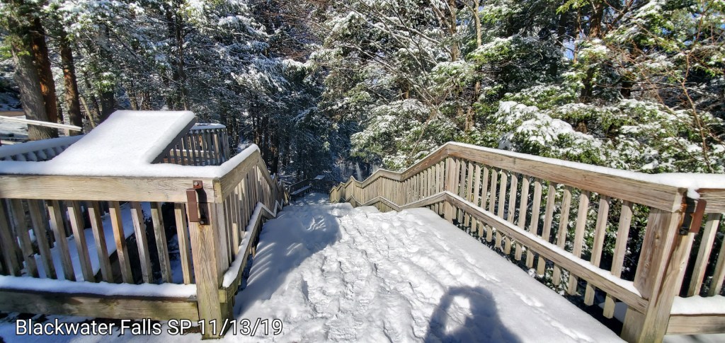
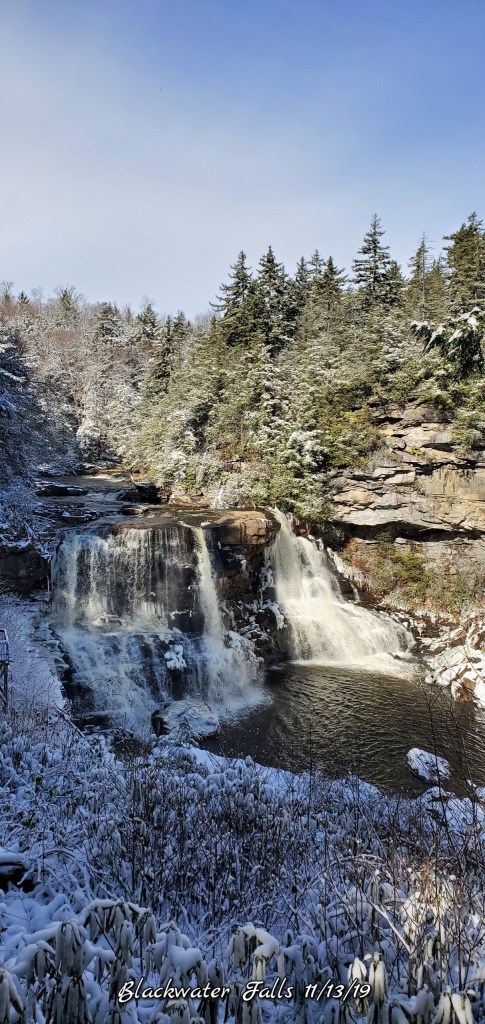
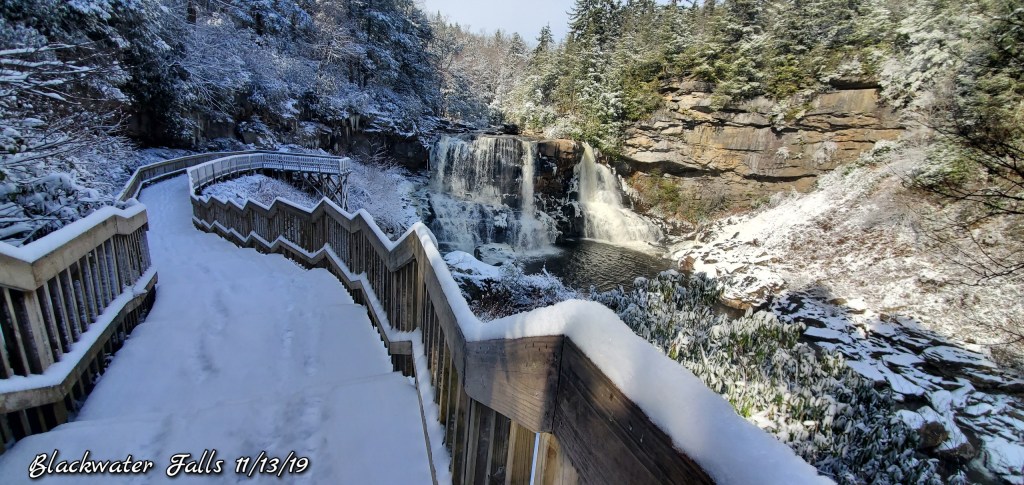
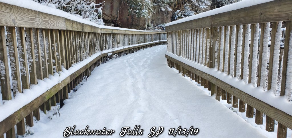
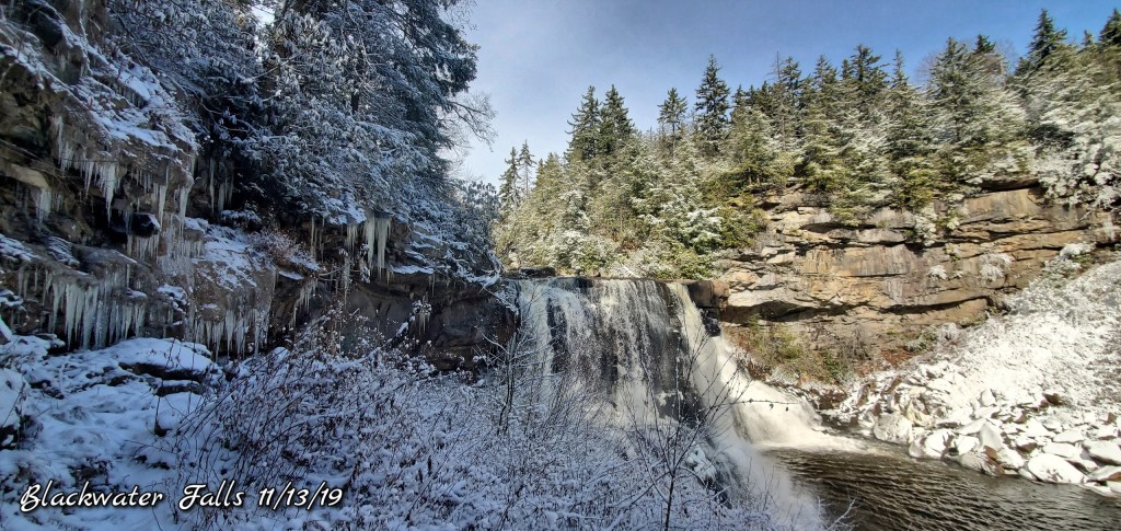
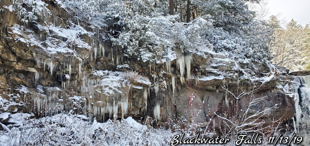
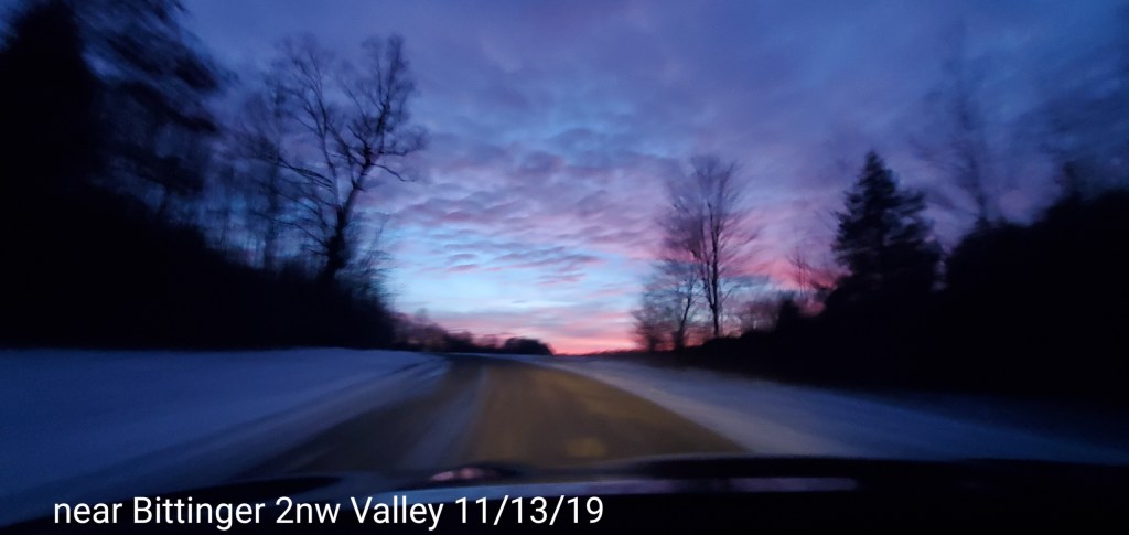
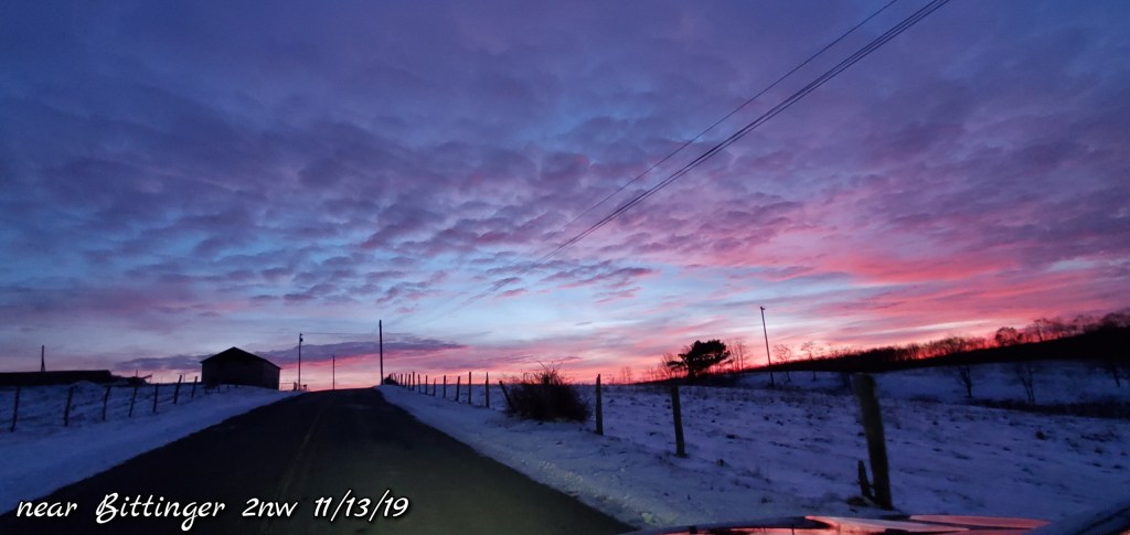
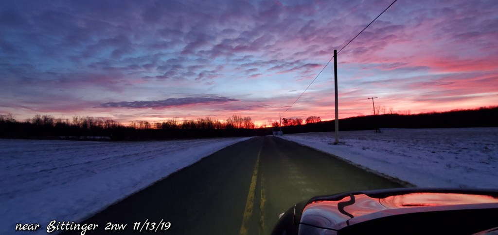
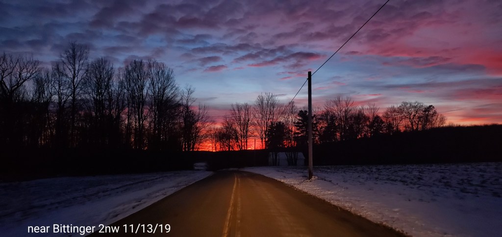
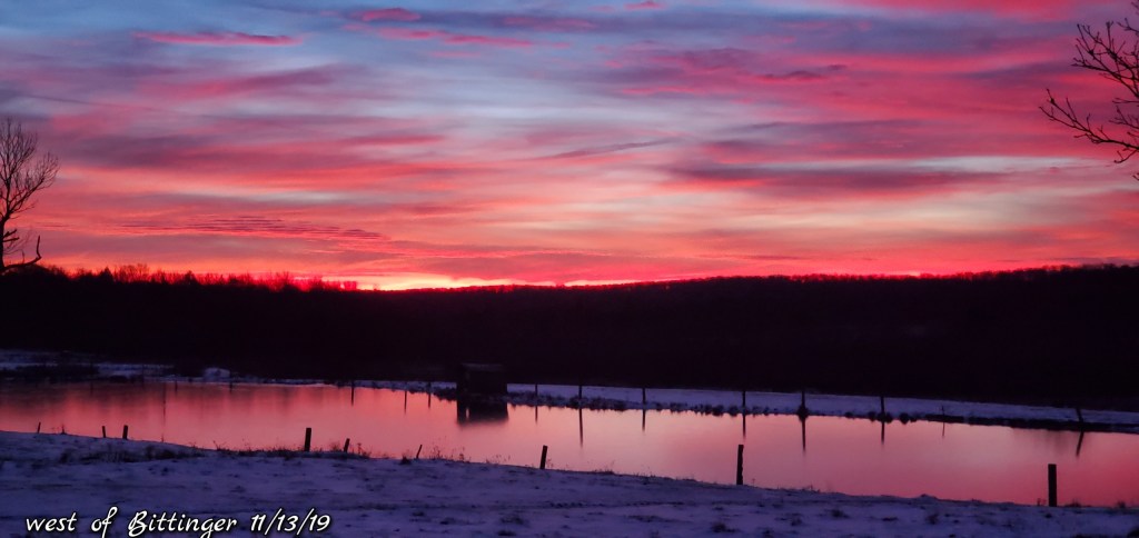
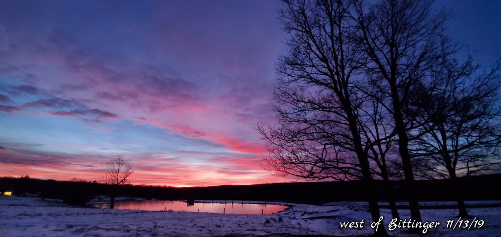
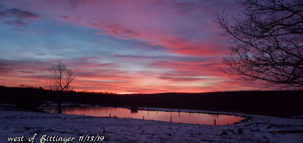
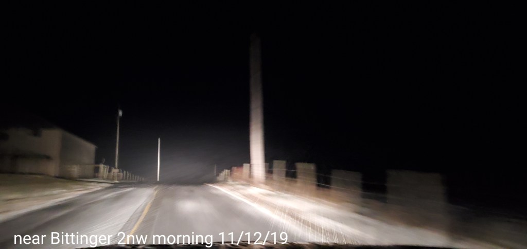
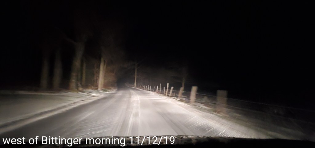
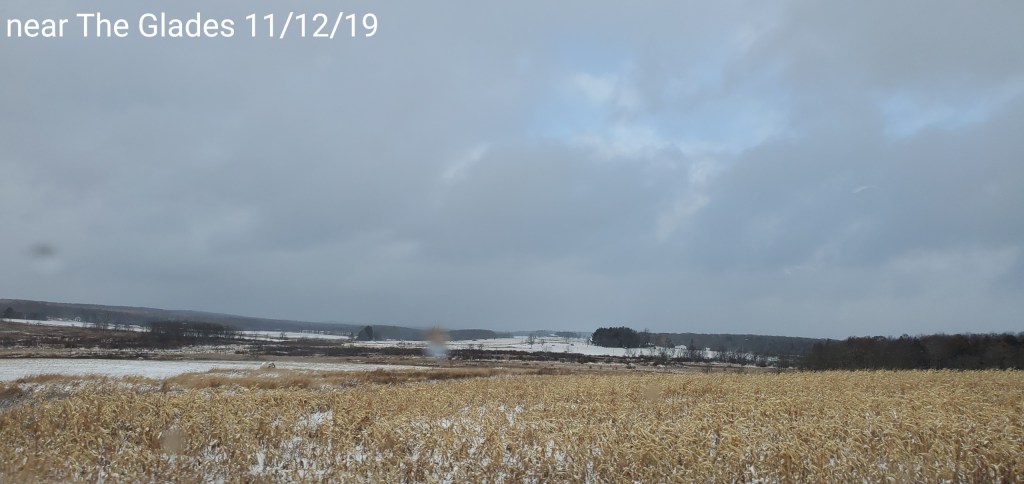
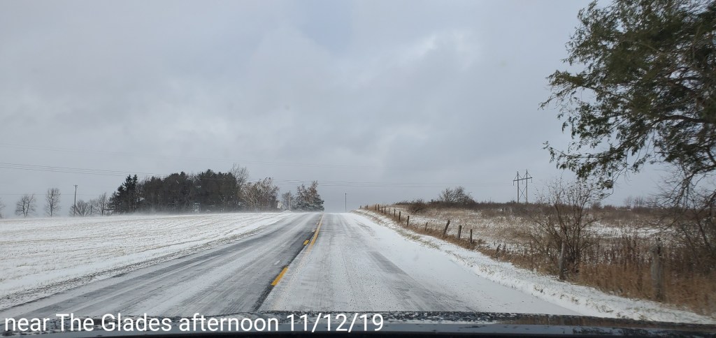
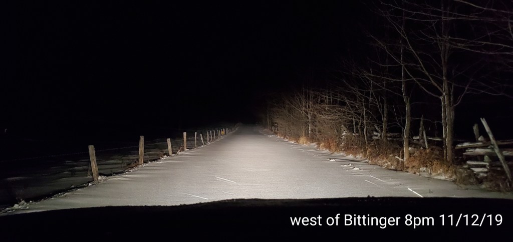
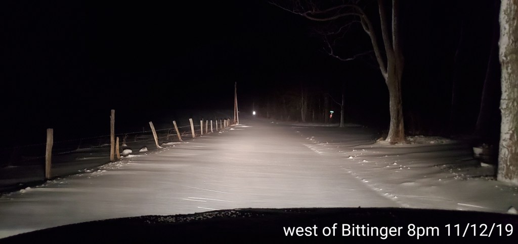
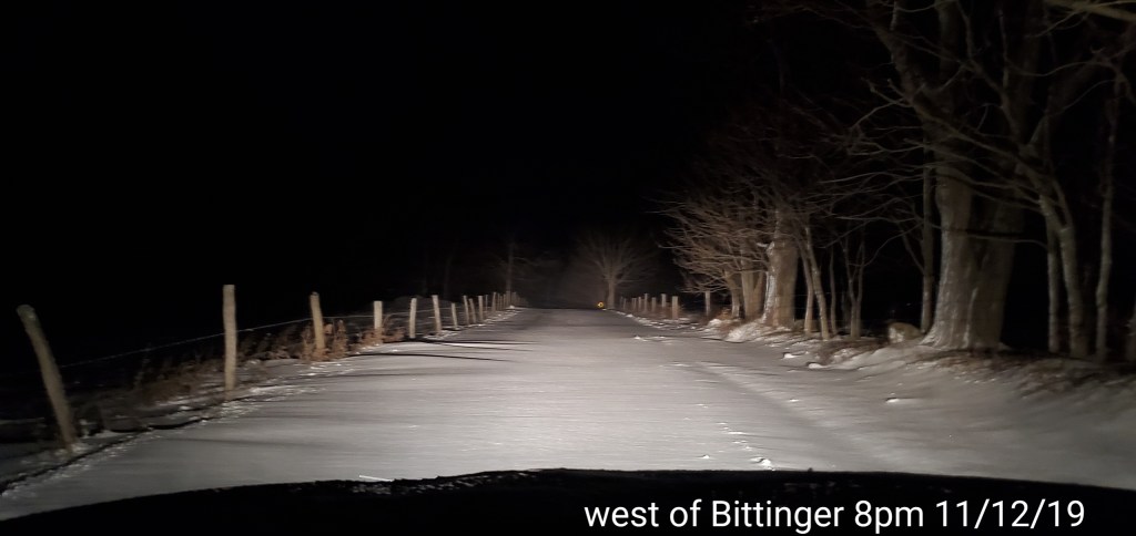
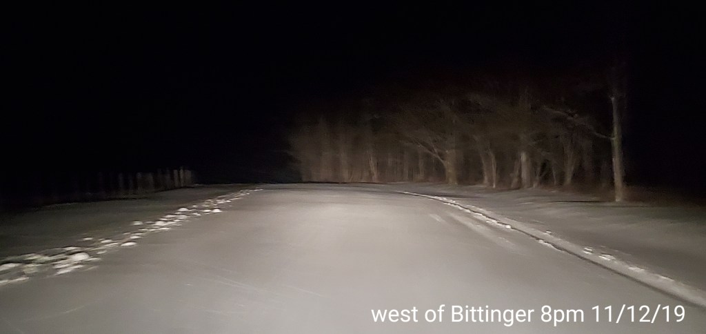
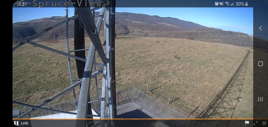
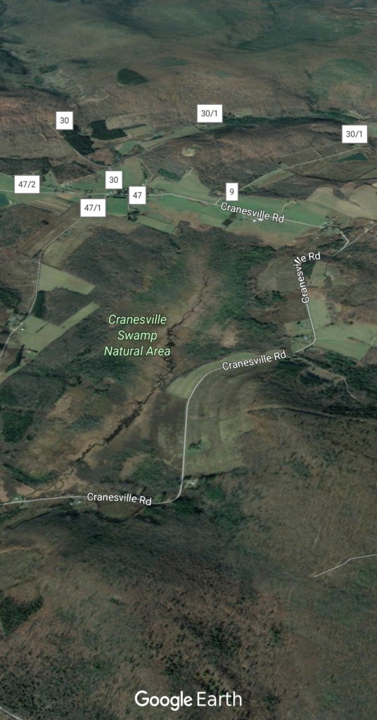
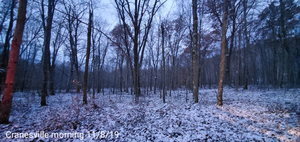
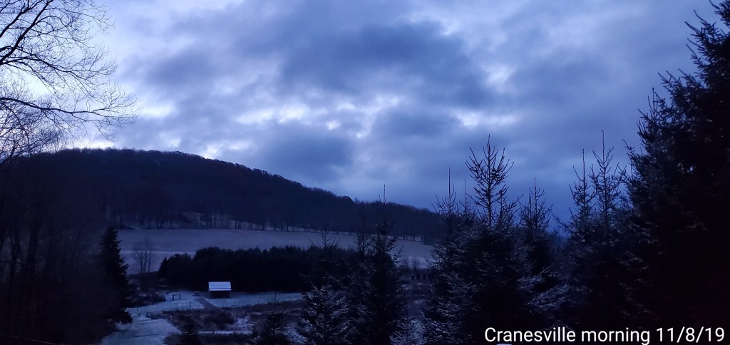
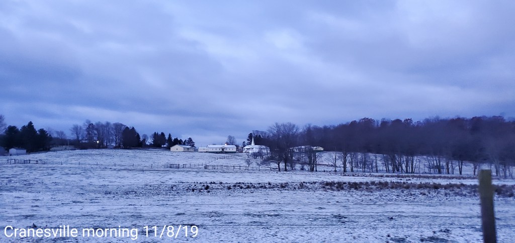
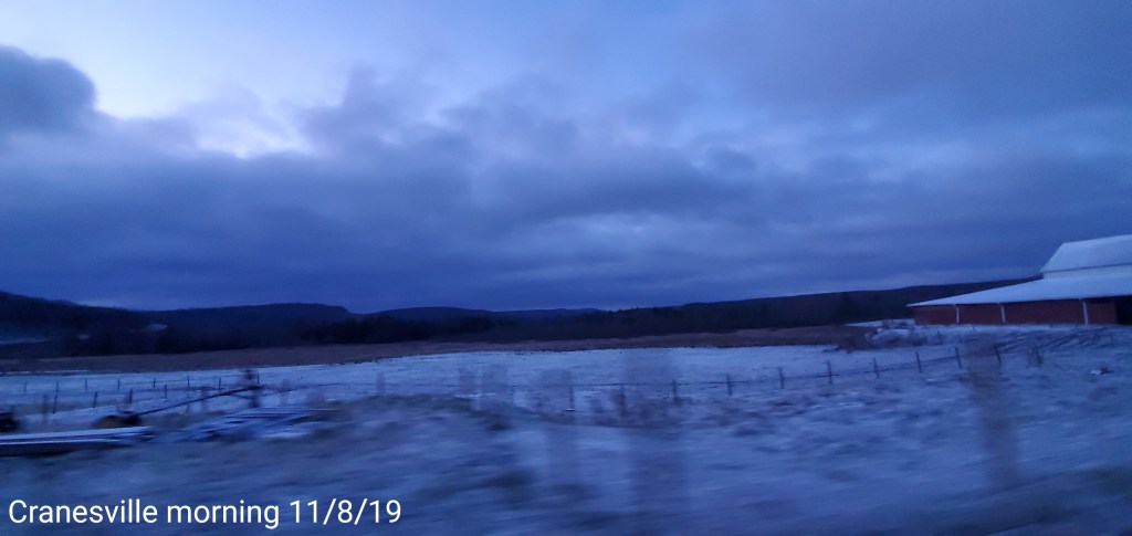
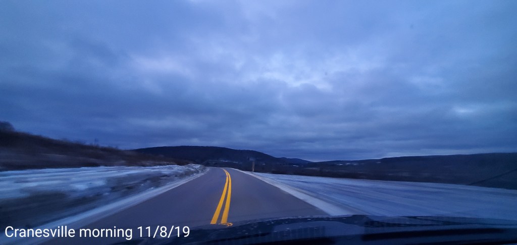
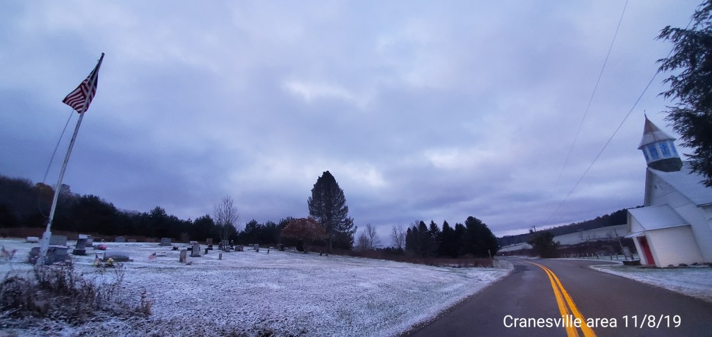
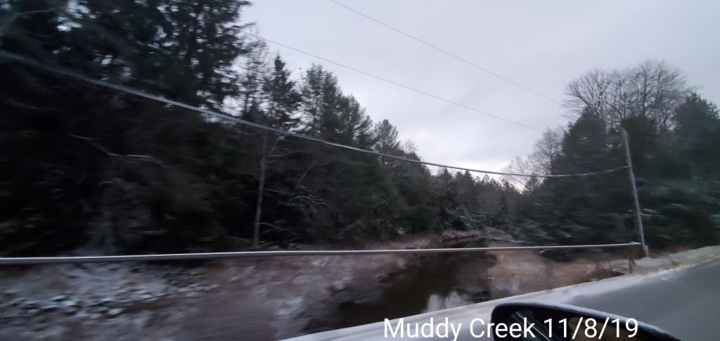
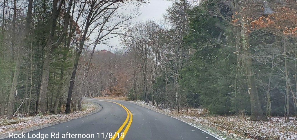
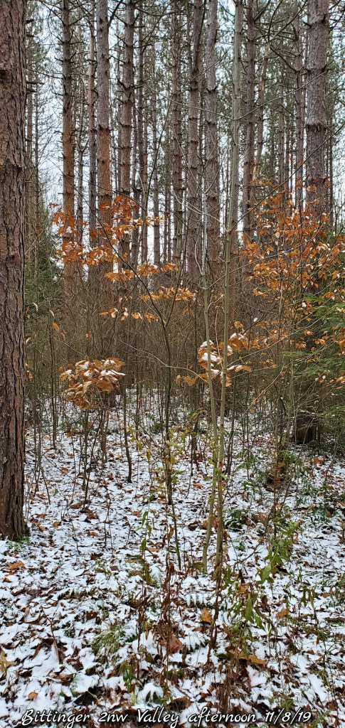
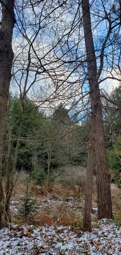
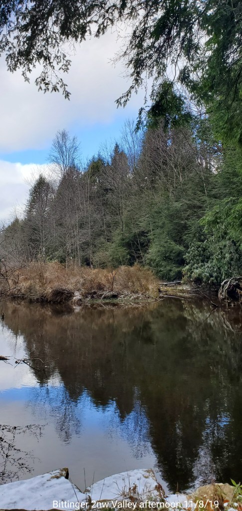
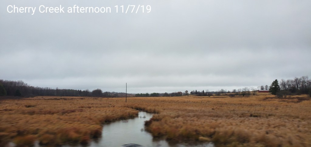
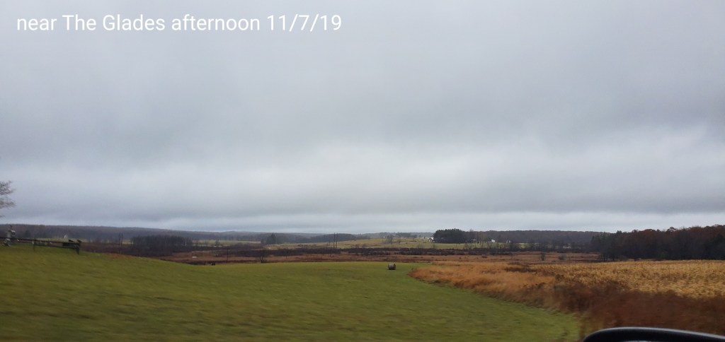
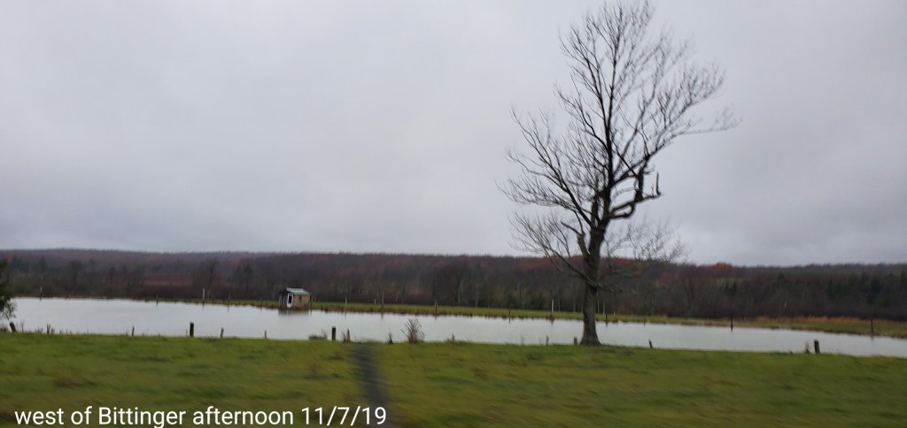
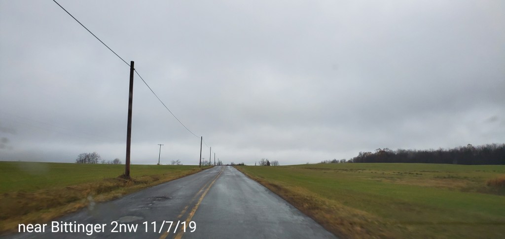
Pics today-
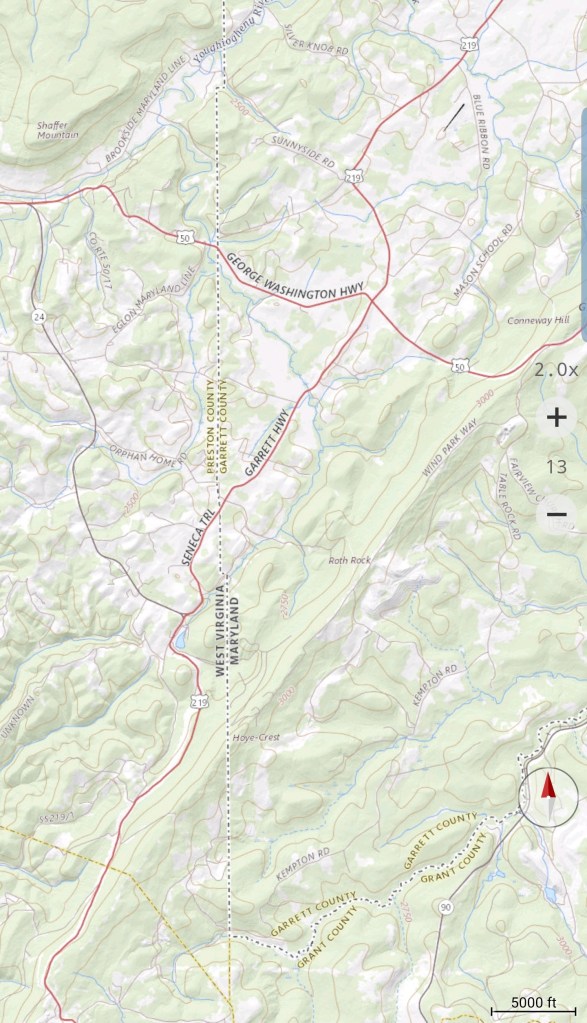
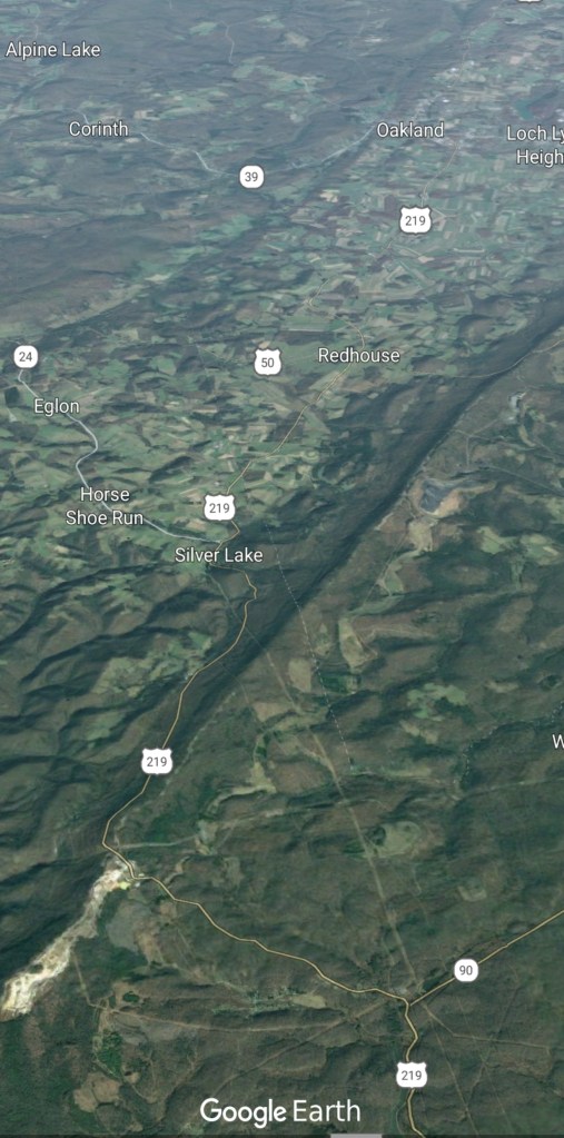
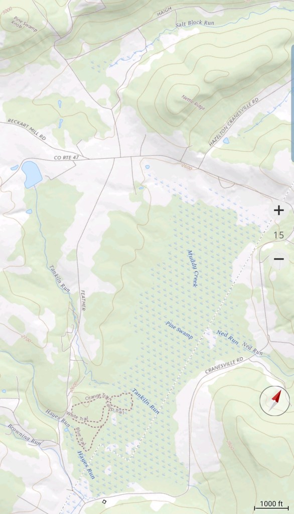
Cranesville area
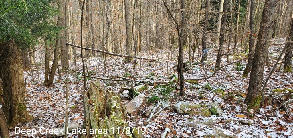
Everything covered in white today….
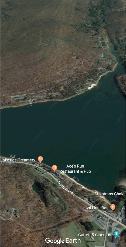
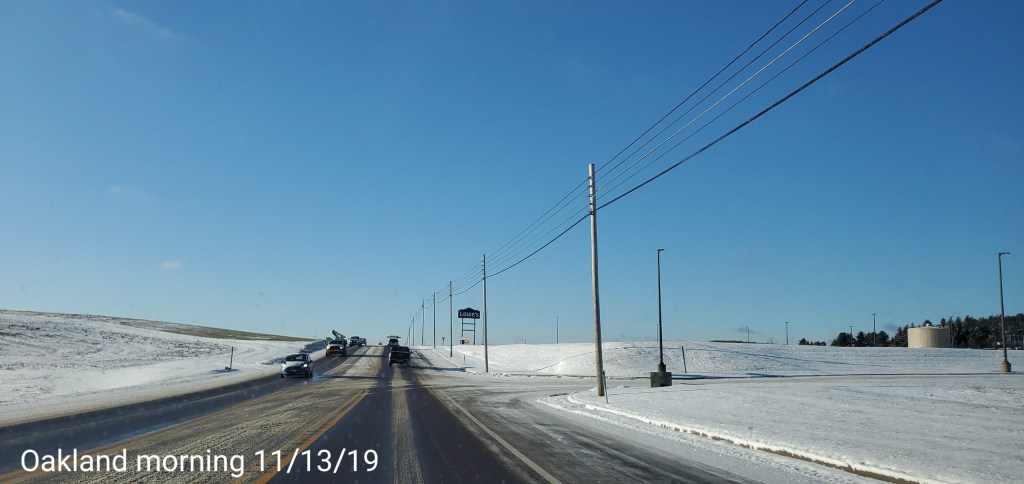
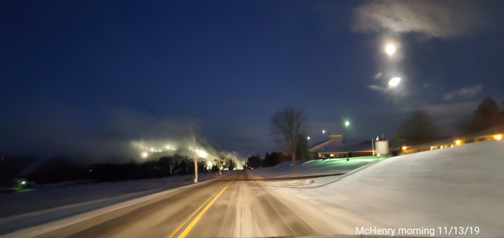
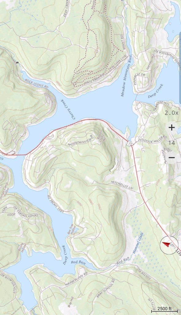
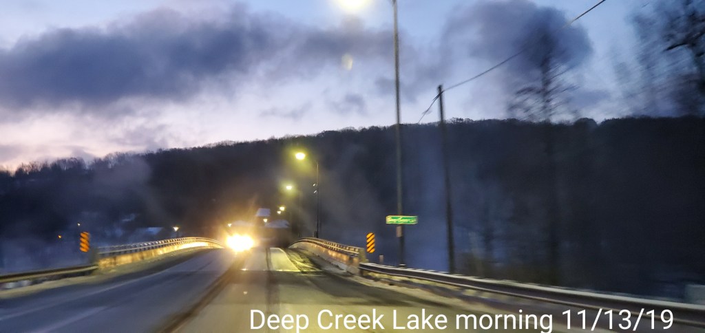
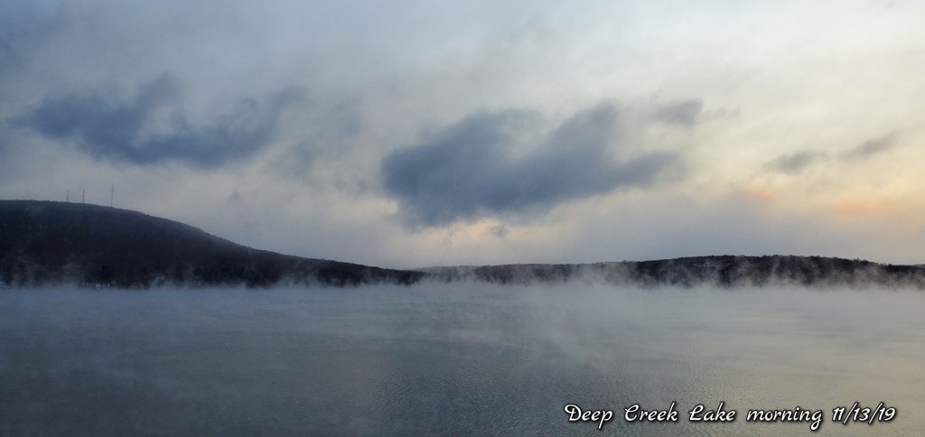
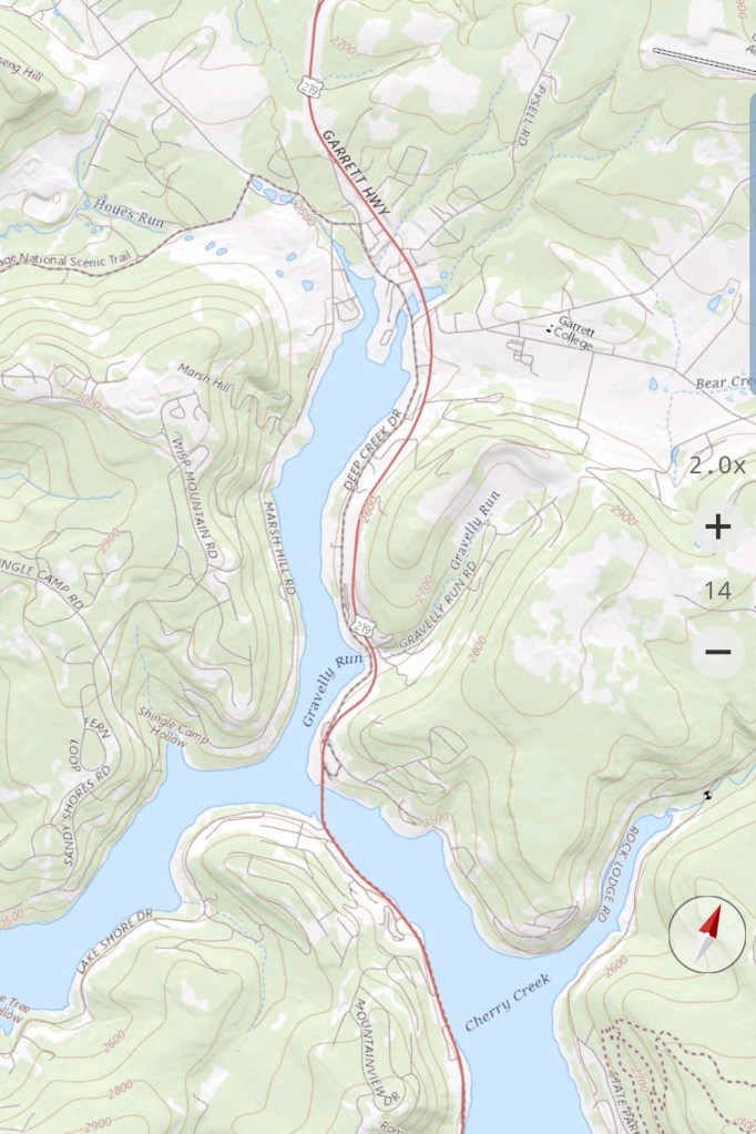
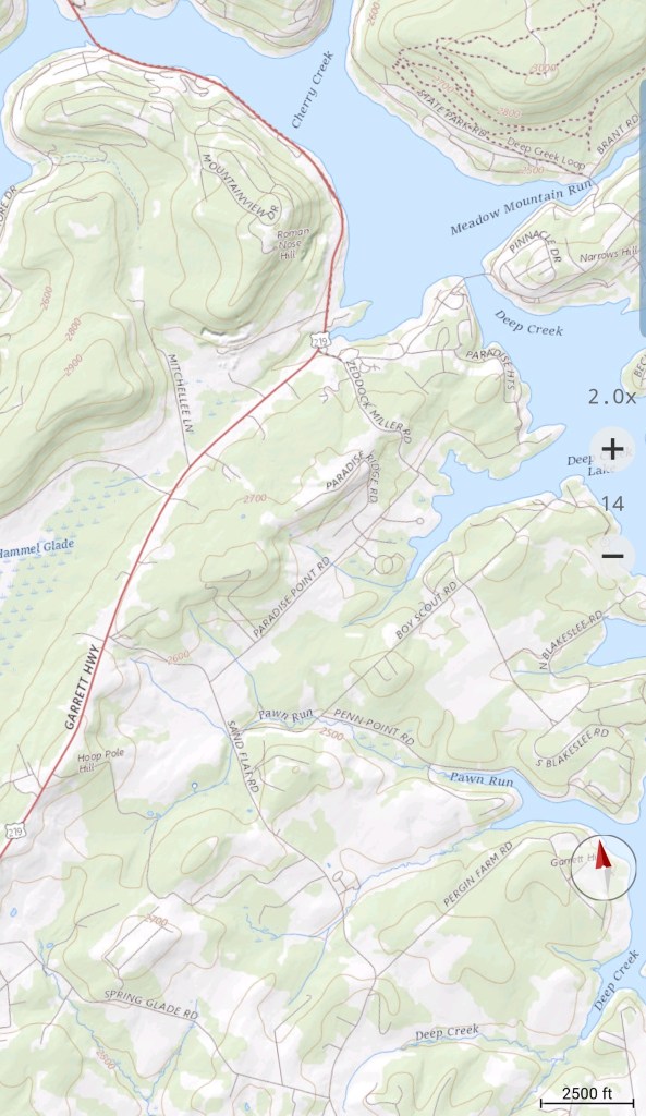
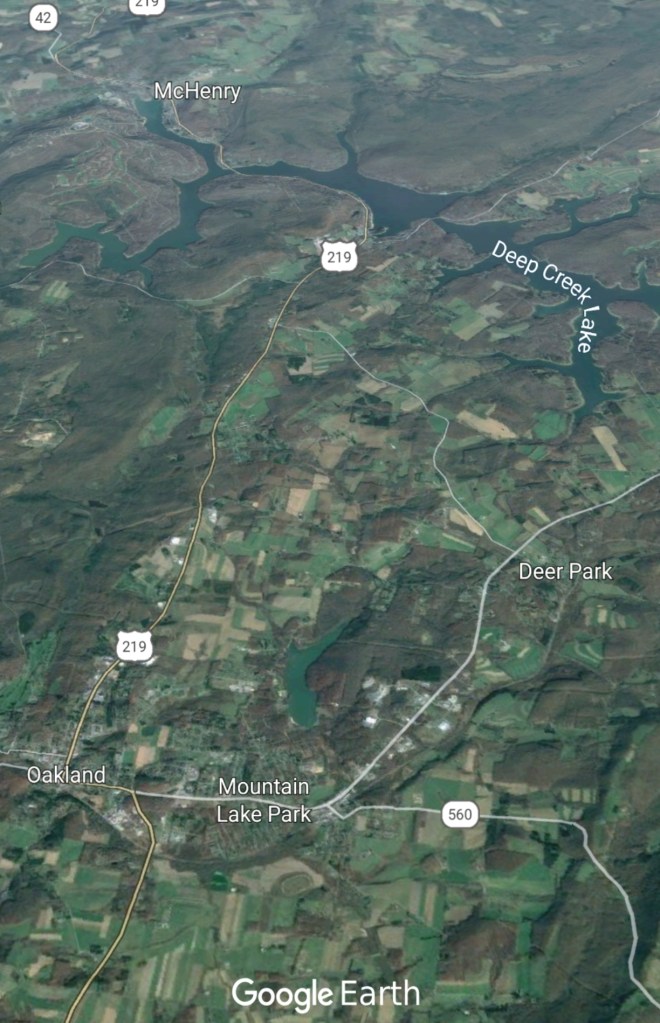
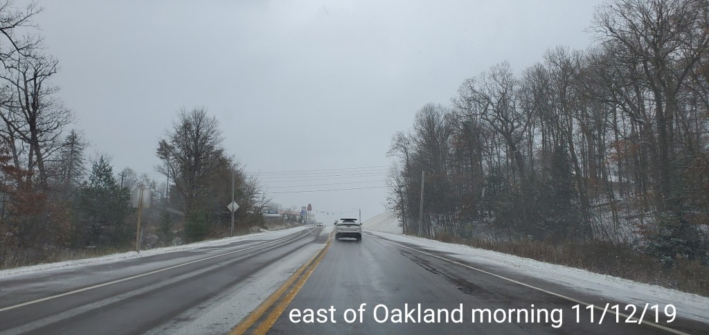
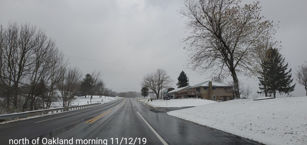
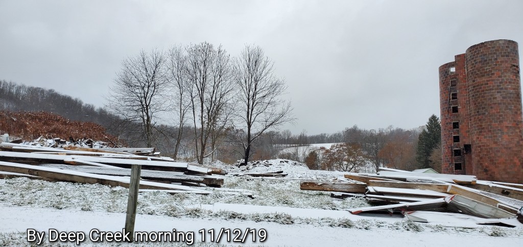
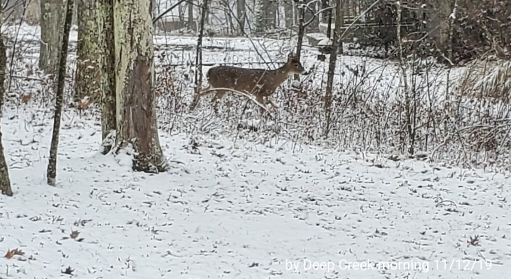
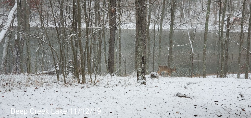
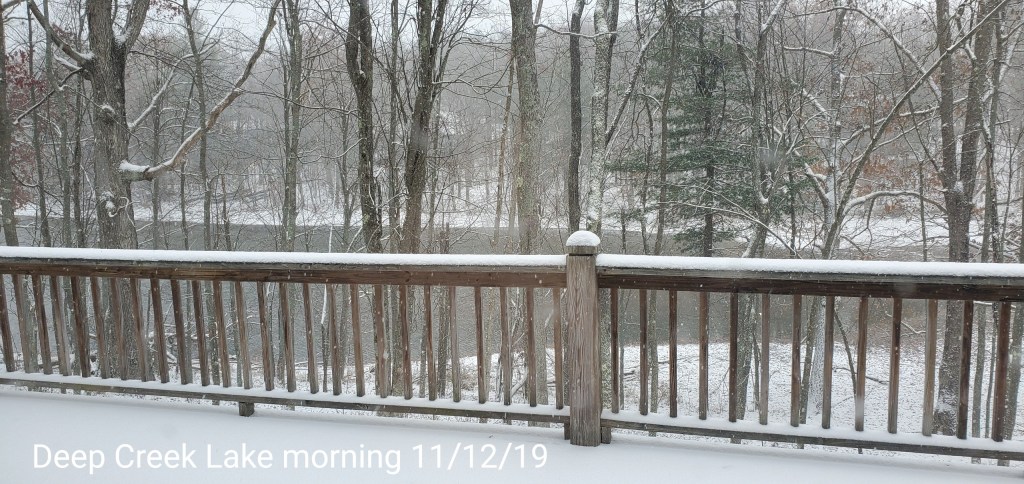
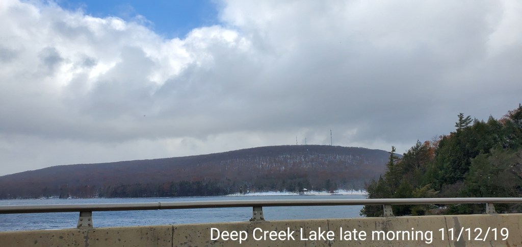
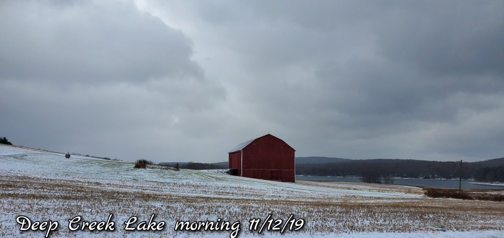
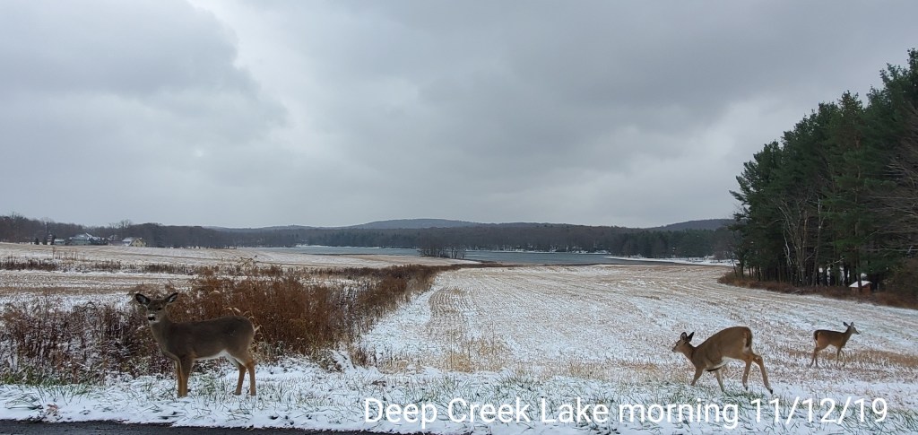
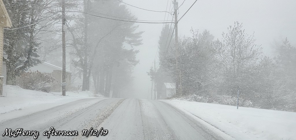
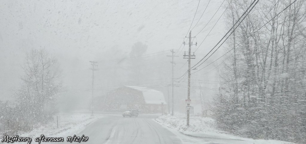
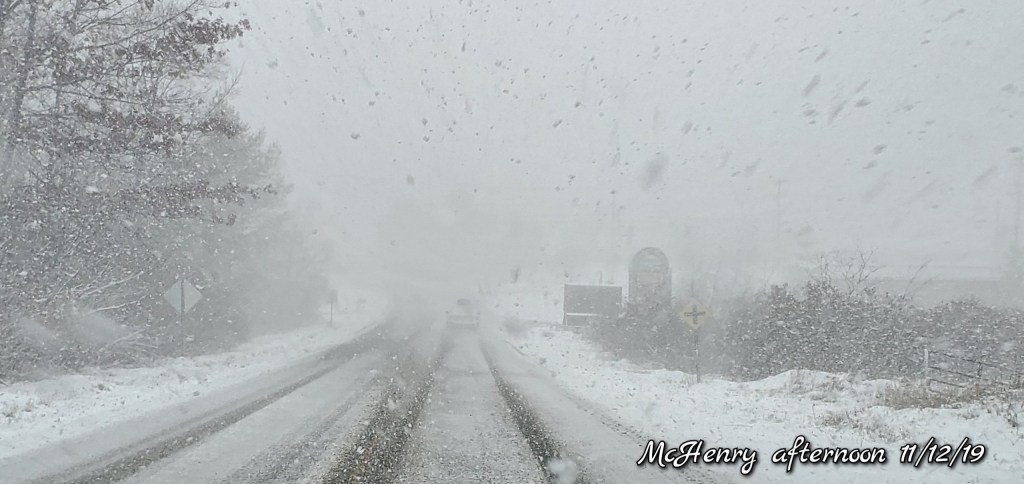
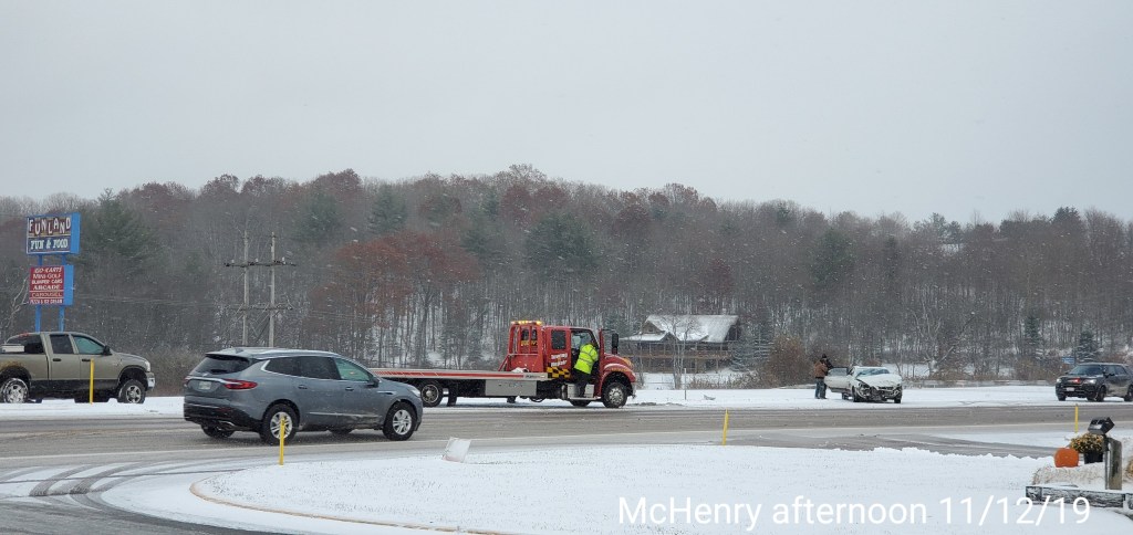
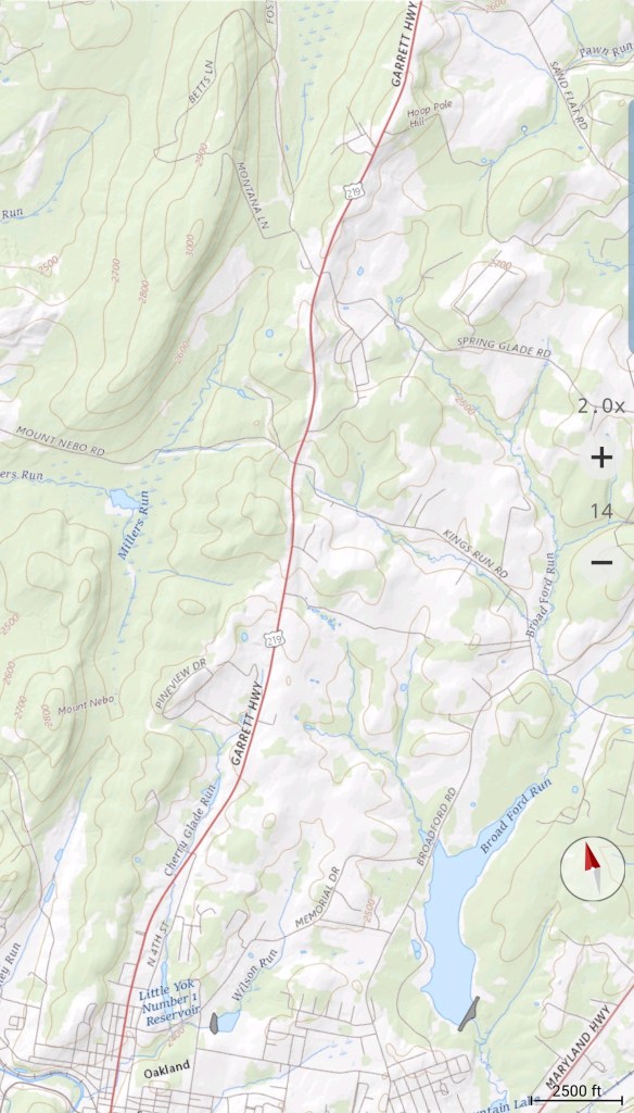
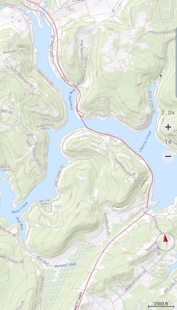
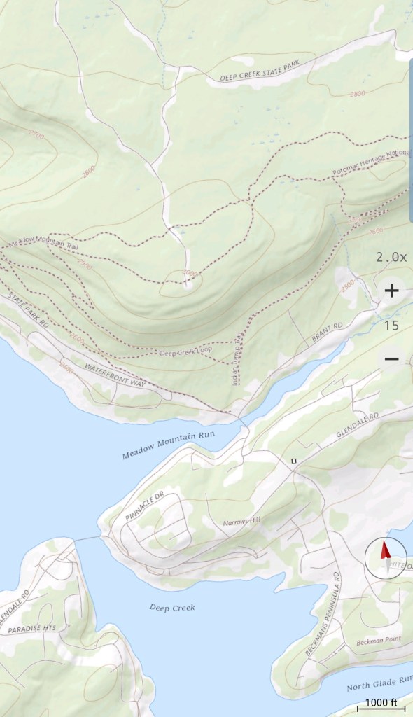
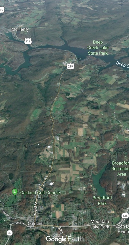
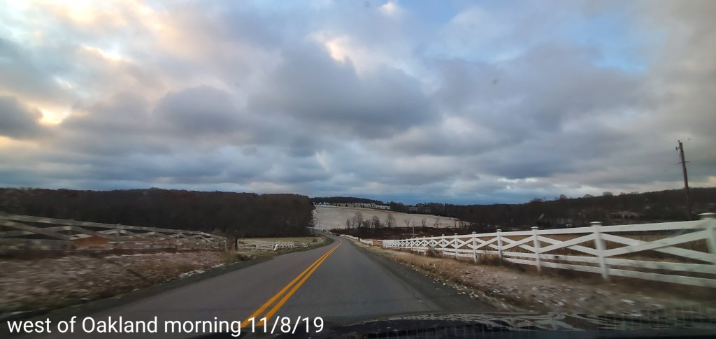
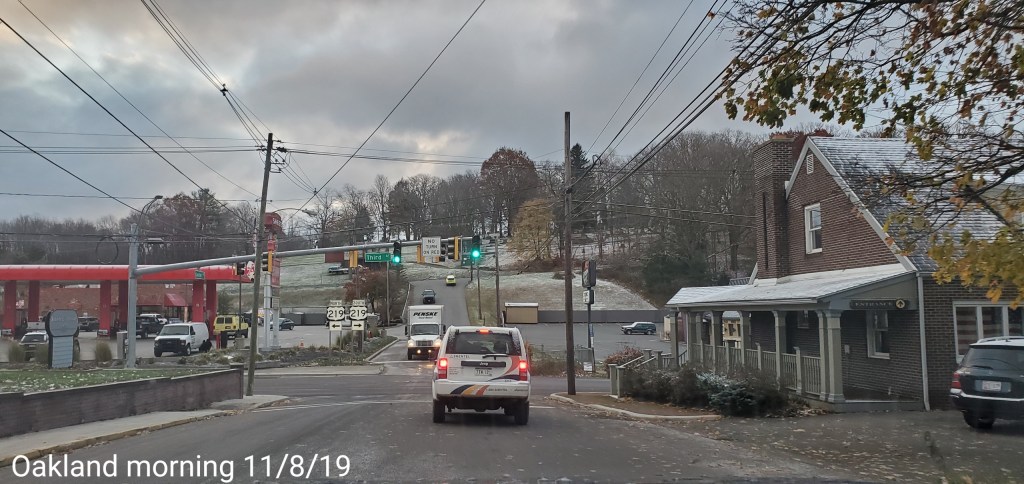
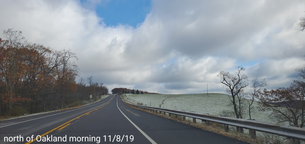
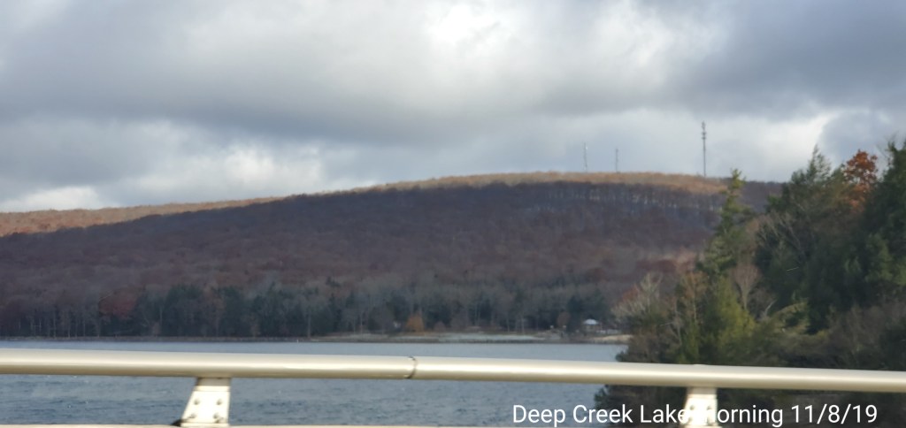
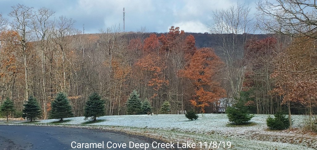
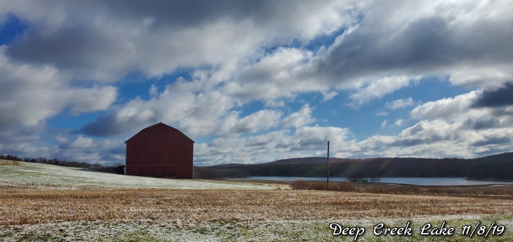
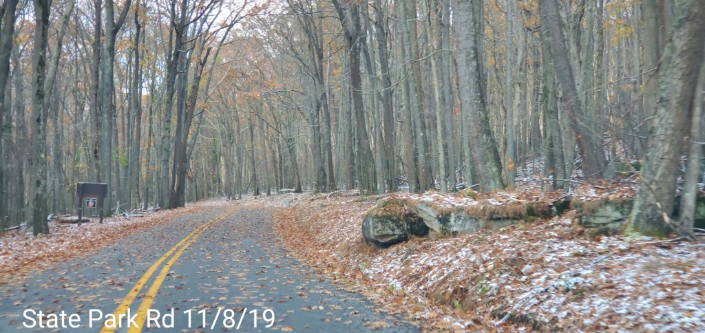
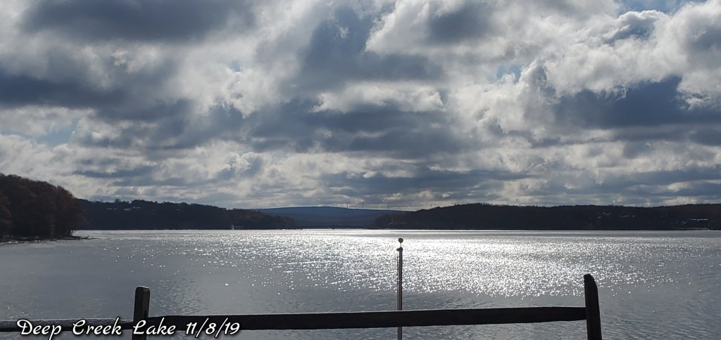
Oakland to Deep Creek Lake to McHenry
Light covering of snow, lingering passing flurries, light snow into the afternoon
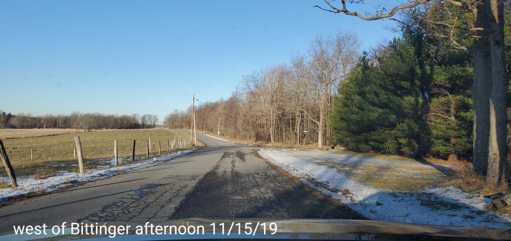
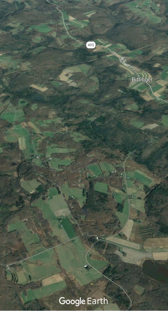
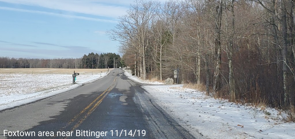
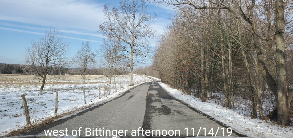
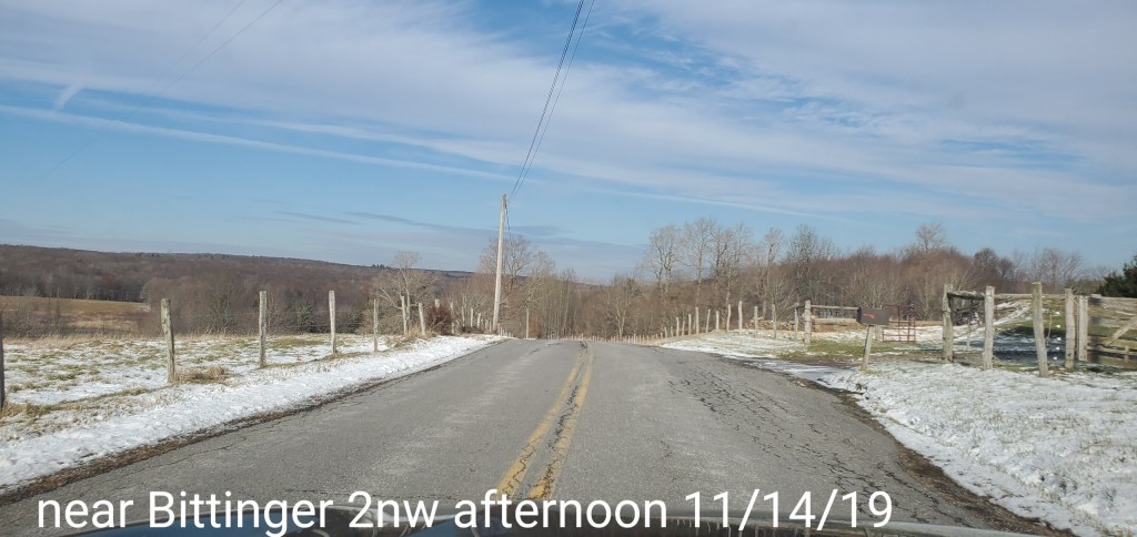
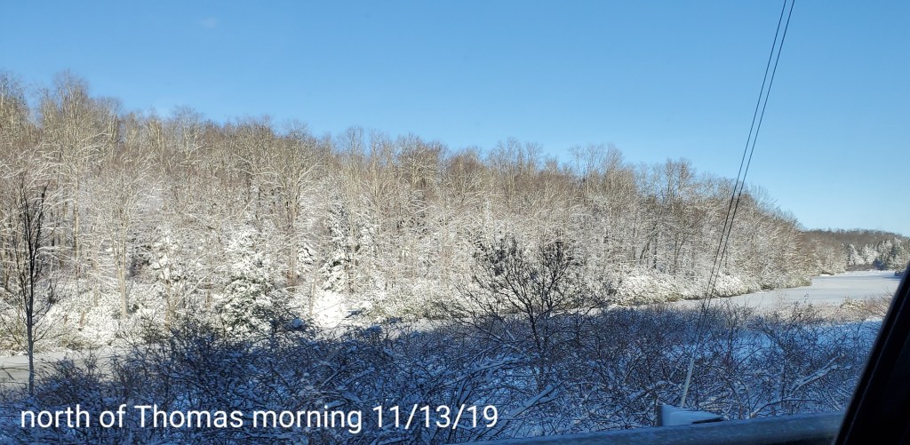
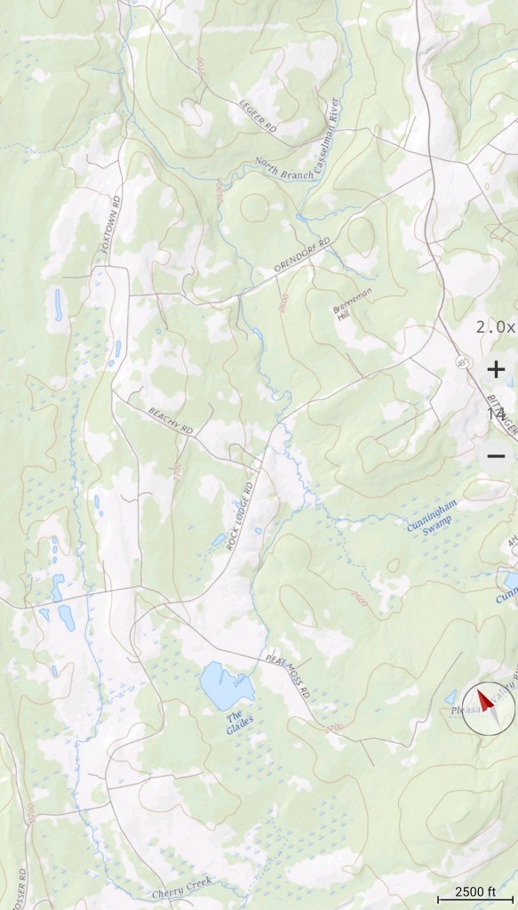
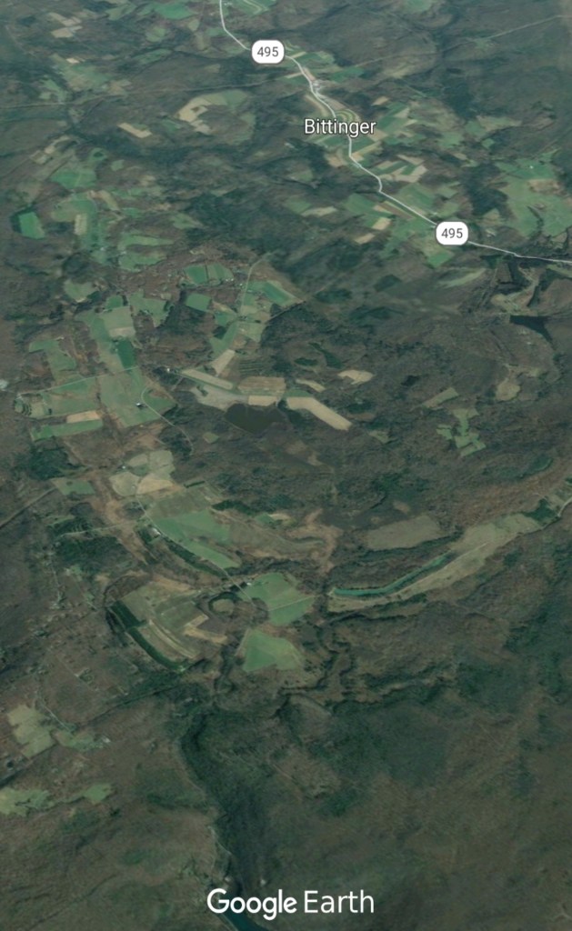
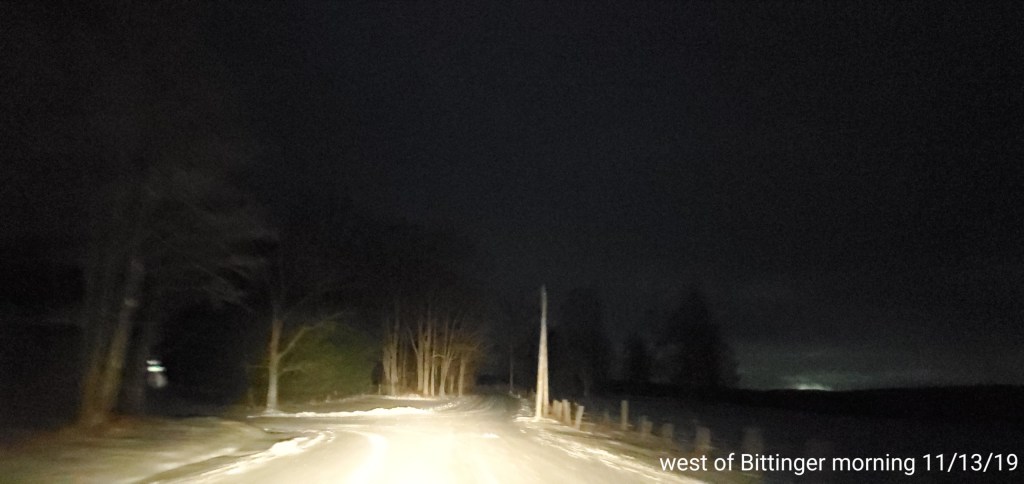
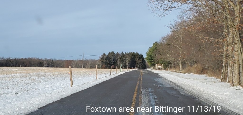
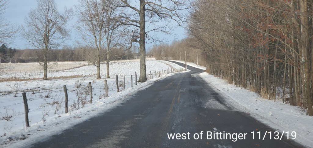
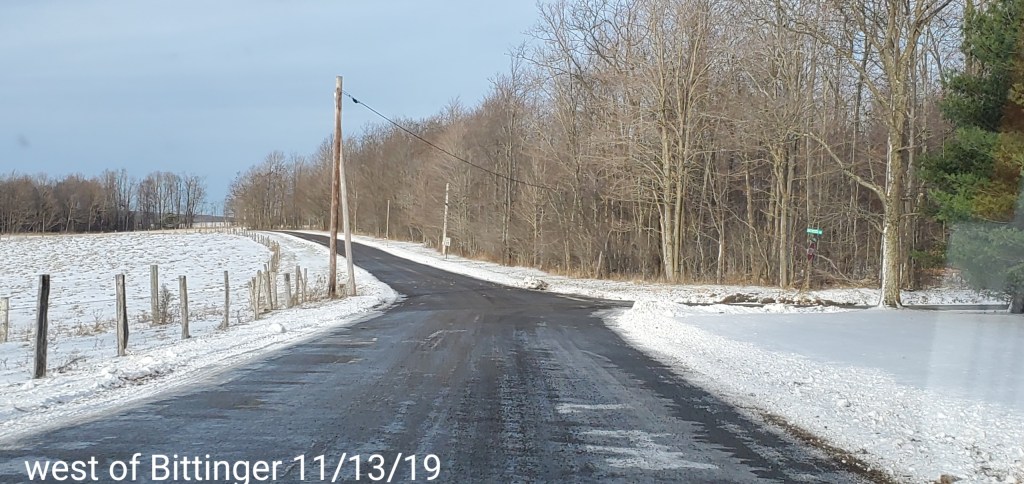
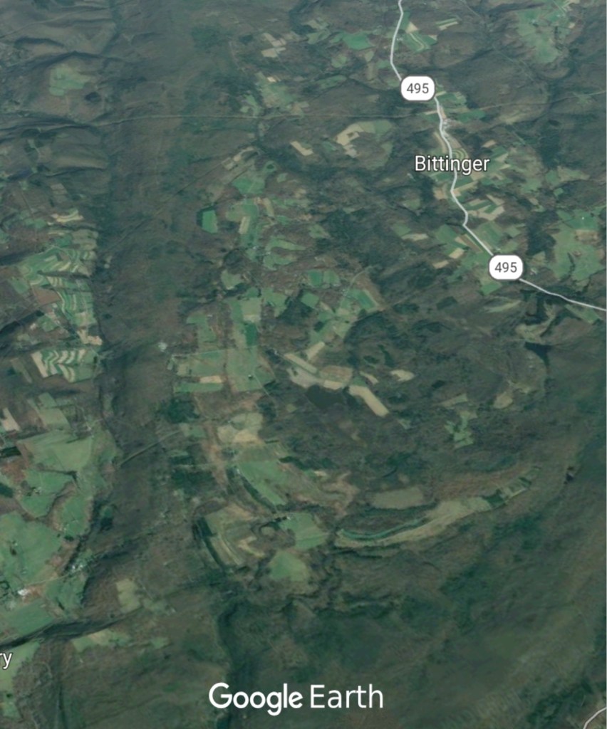
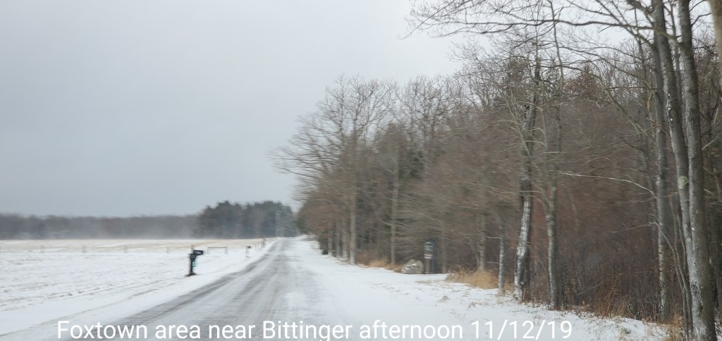
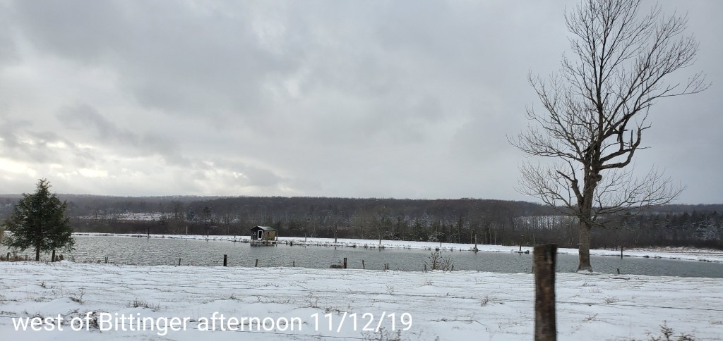
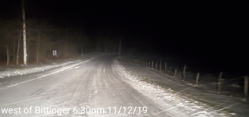
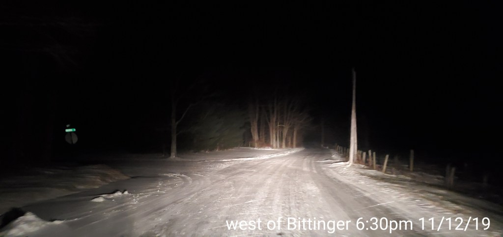
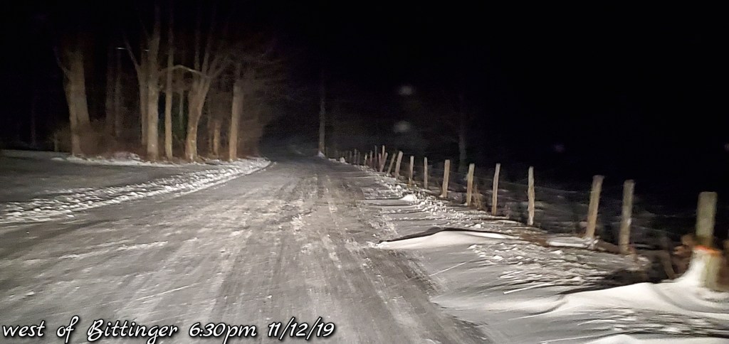
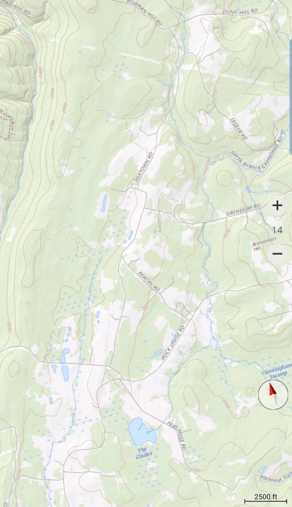
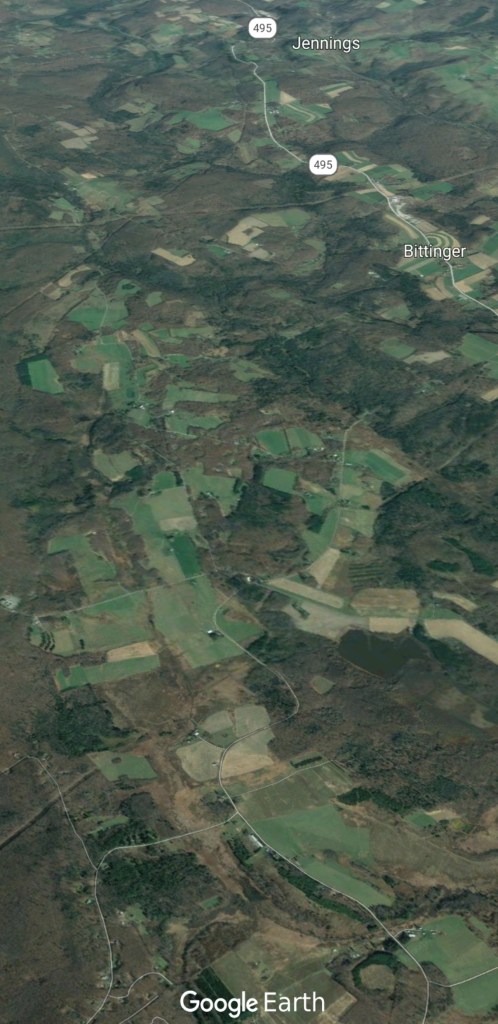
Bittinger area
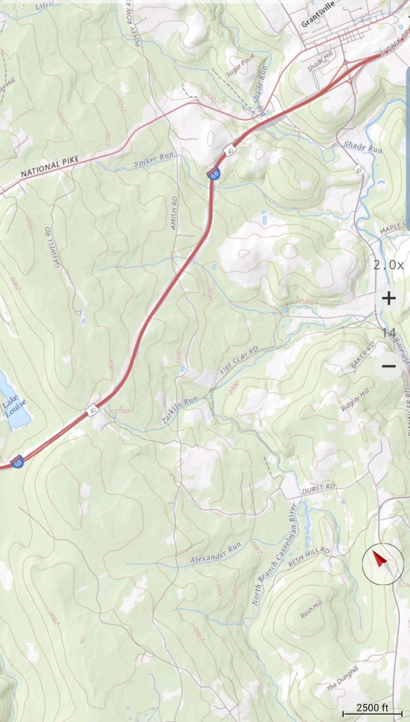
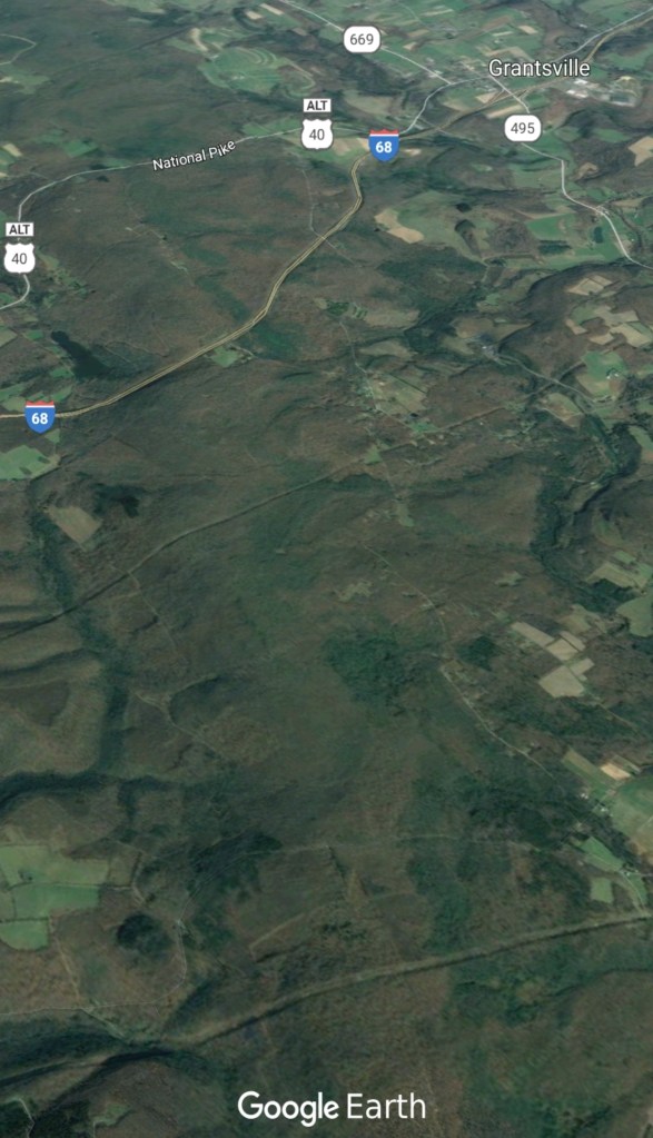
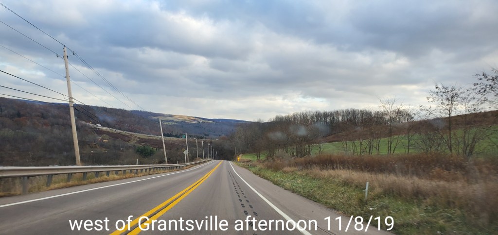
Grantsville area
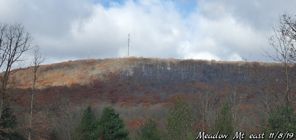
Not much of a whitening below 2500′, but above that, a skiff
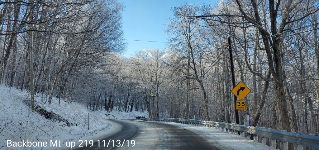
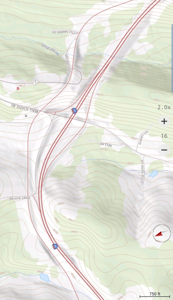
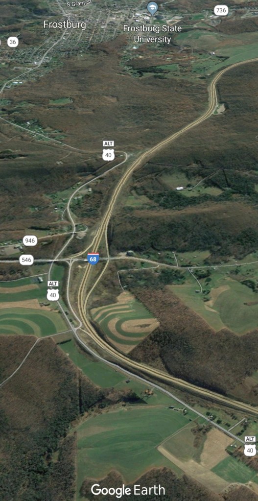
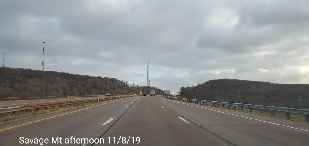
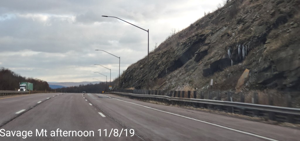
Savage Mt area
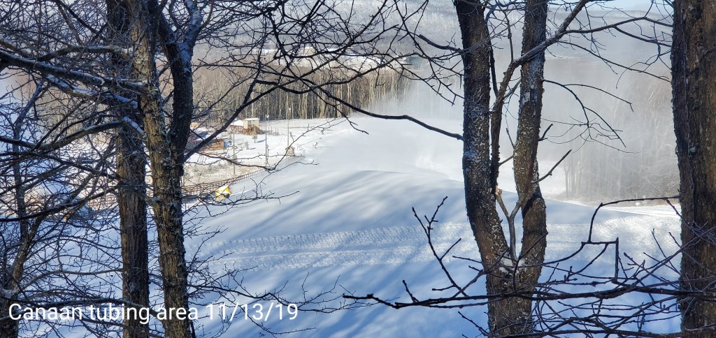
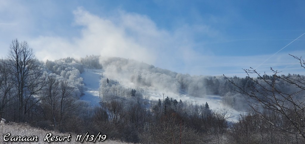
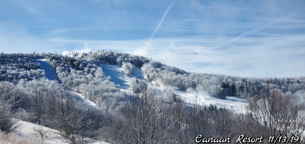
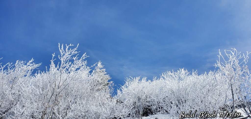
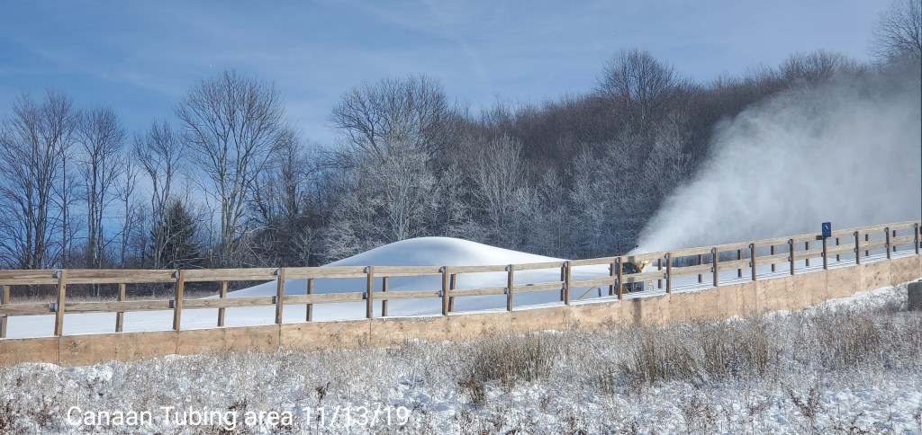
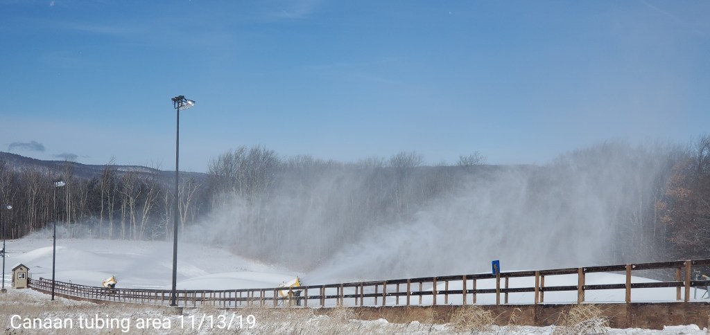
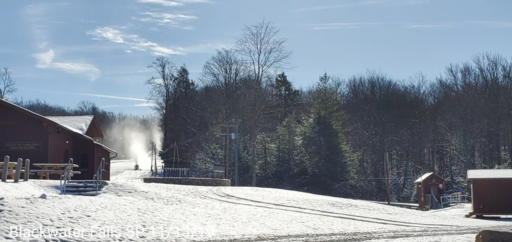
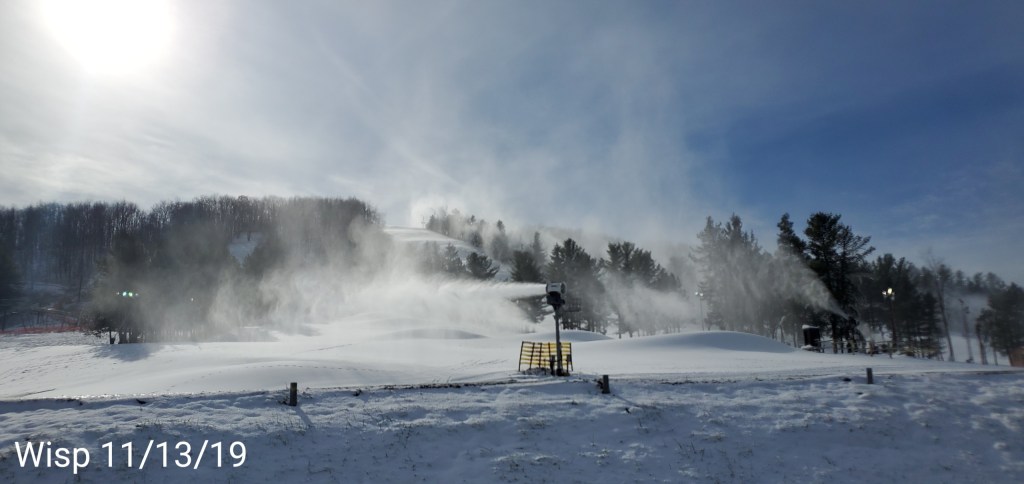
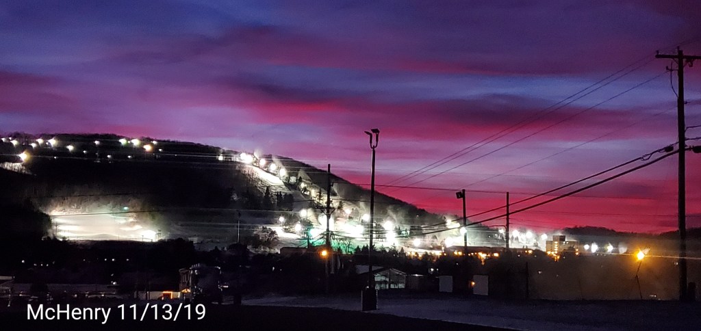
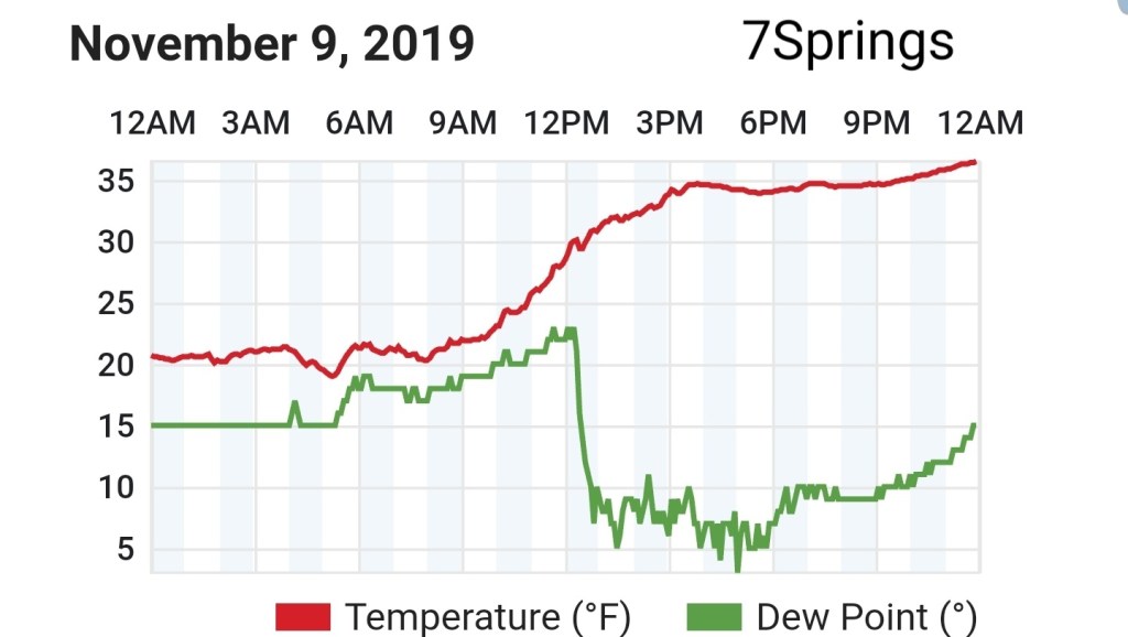
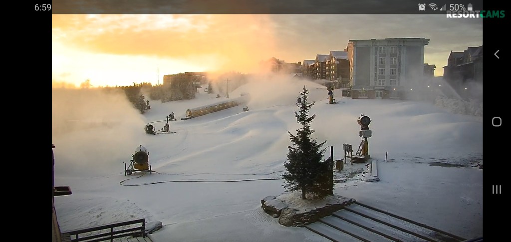
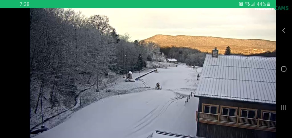
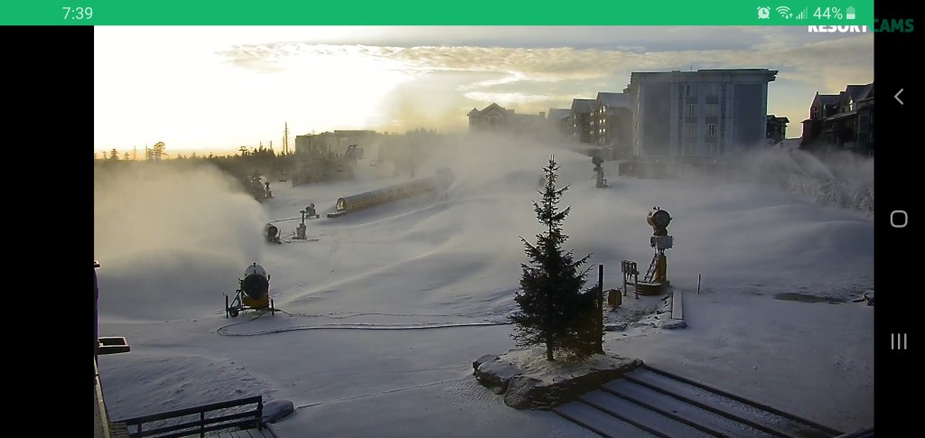
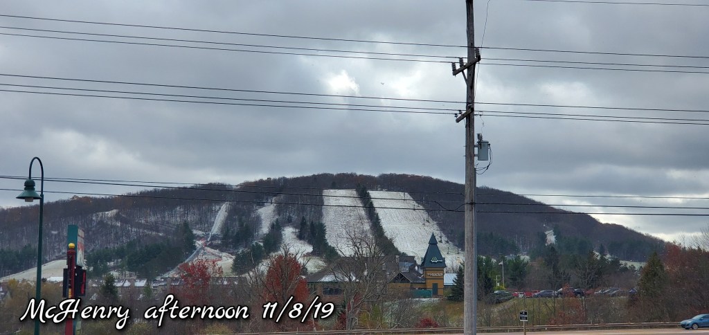
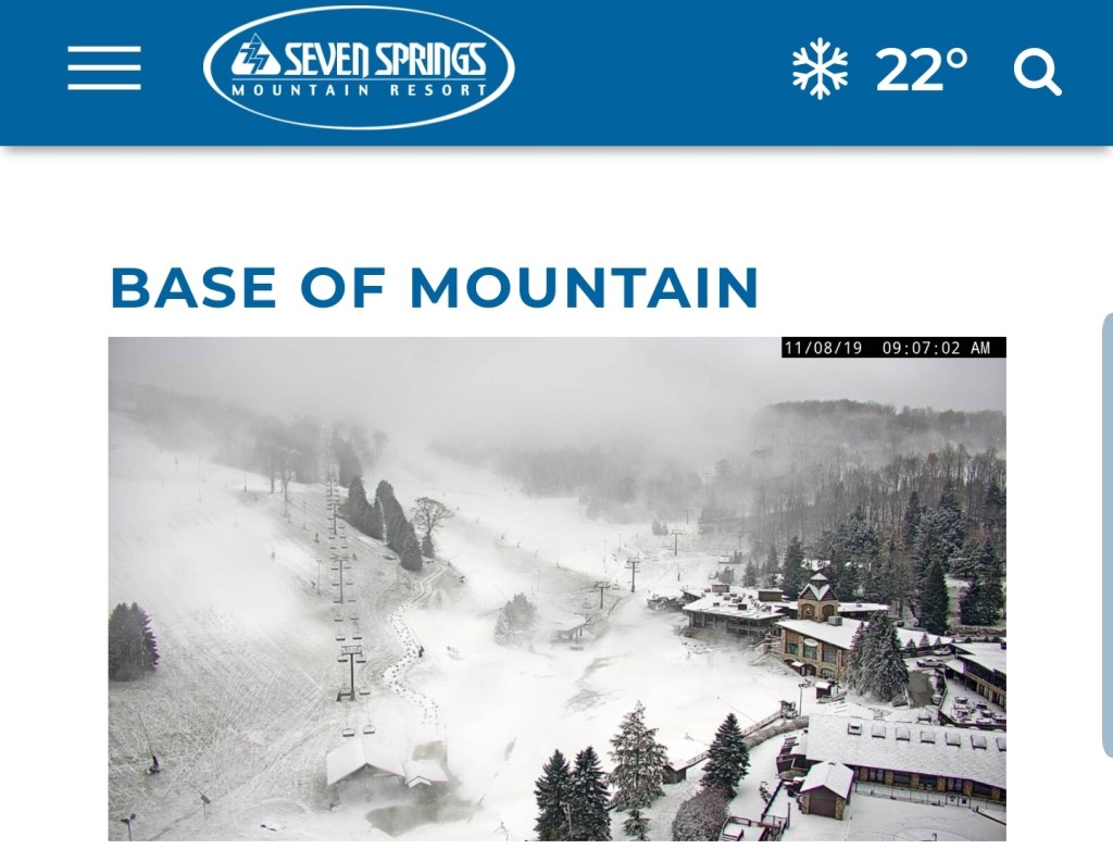
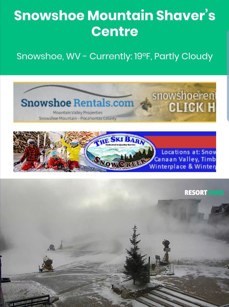
Area resorts making snow
7Springs, Canaan, Snowshoe/Silver Creek
Looking ahead……
Generated 8pm 11/9/19
Snowfall in the future?? After temps modify milder Sunday, Monday, rain will return during the day and transition to snow Monday night. Snow with the wave of precip, with the artic front that should contain a squall line that can drop a quick 1-2″ and some upslope to follow into Tuesday night. All told, a 3-6″ snowfall event for the Alleghenies looks possible. These numbers will be tweaked as we get closer..
Following that, a brief shot of bitter cold, followed by a modified zonal flow of Pacific air.
Cloudy early,,rain mid morning on, falling temps to wet flakes over to light snow after nightfall.
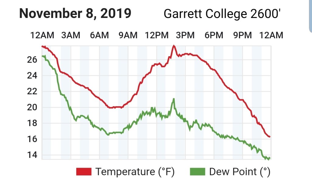
Temps today
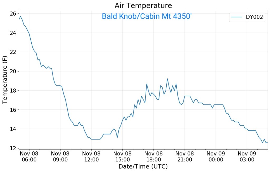
Valley site vs Cabin Mt
On NW winds, when conditions are equal, your basic 3.5° per 1000′ plays out. As seen all afternoon. It appears around midnight, things were calm in the.valley, winds picked up, temps spiked, then with cloud cover, things went calm around 7am(which is 12UTC) and temps fell back, but not as much had skies been clear. More of the refrigeration effect.
Radar
Satellite
Flow
Surface features and 500mb height anomalies and flow