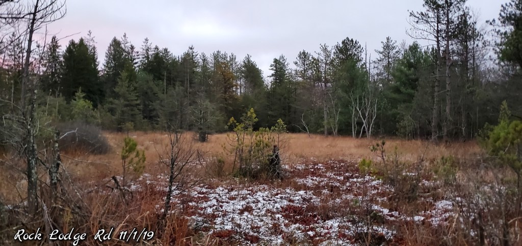
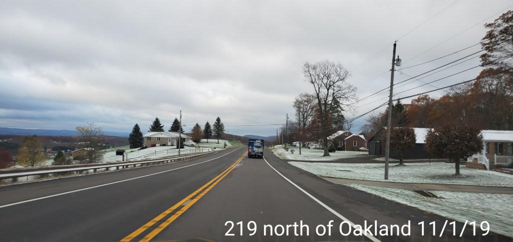
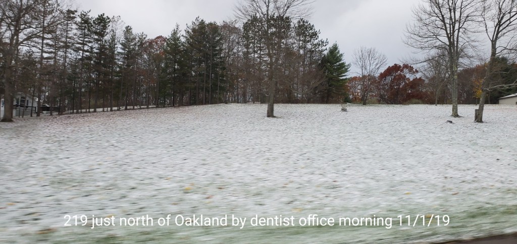
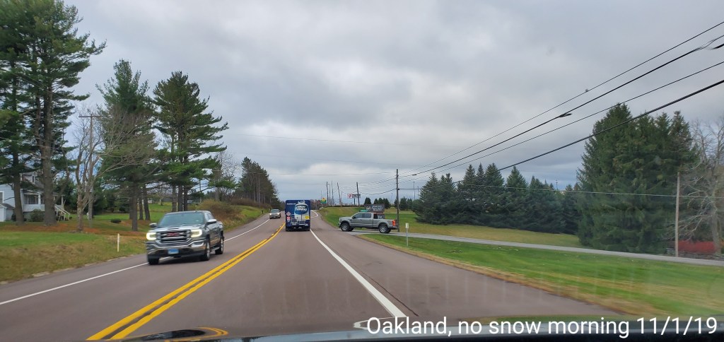
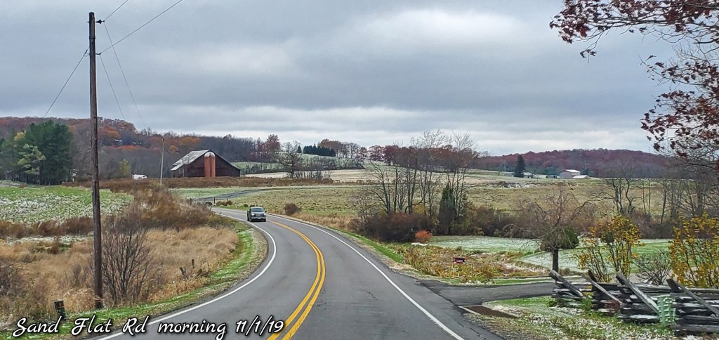
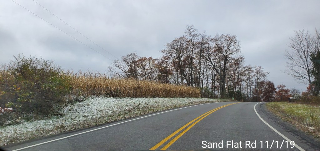
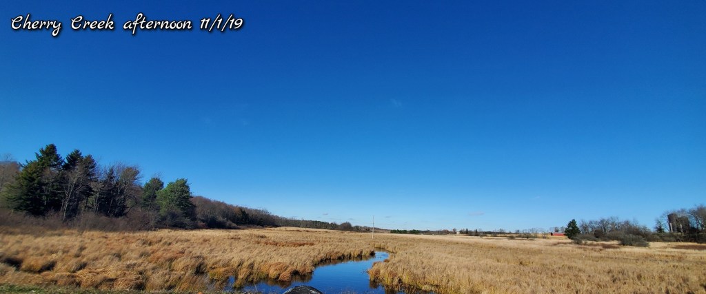
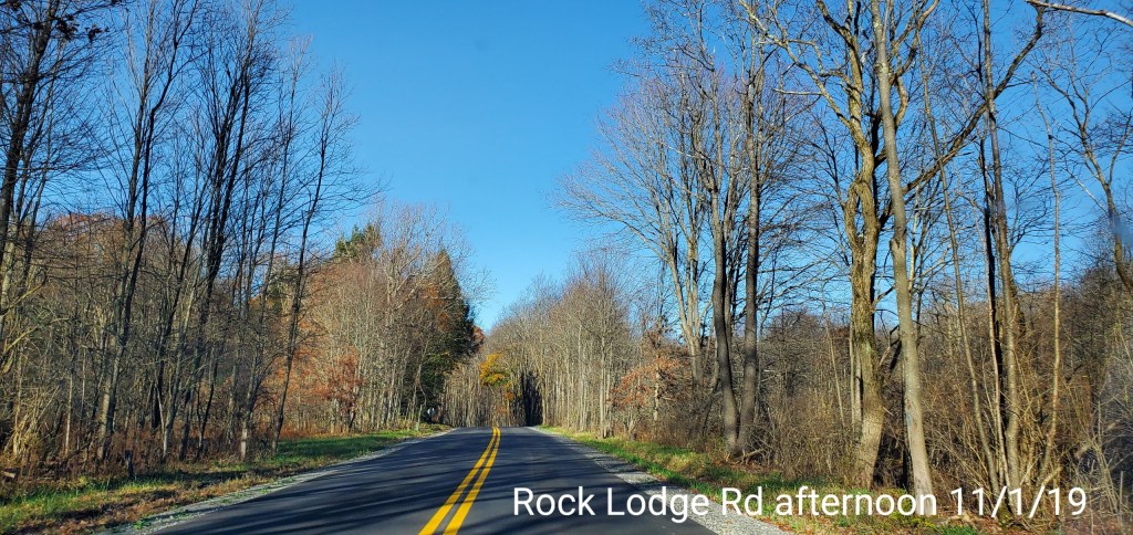
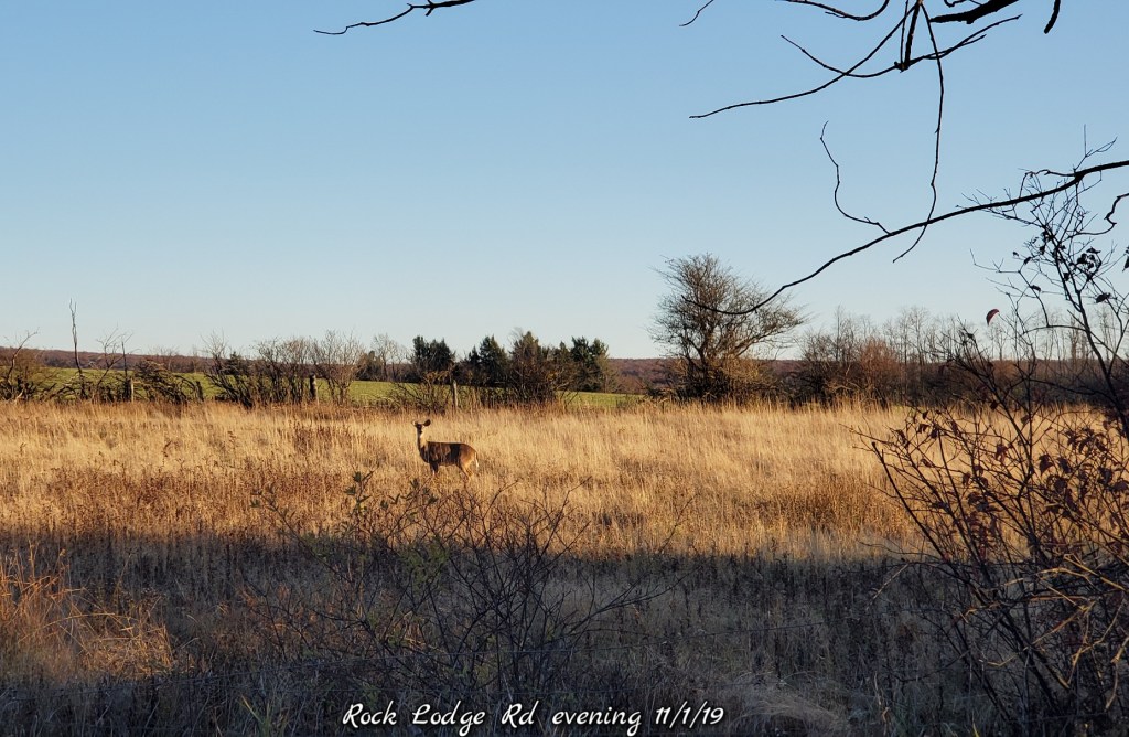
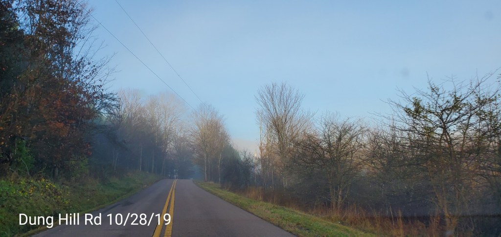
Cloudy early, few stray flakes overnight, windy, skies clearing through the day
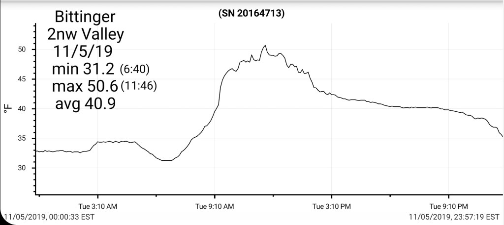
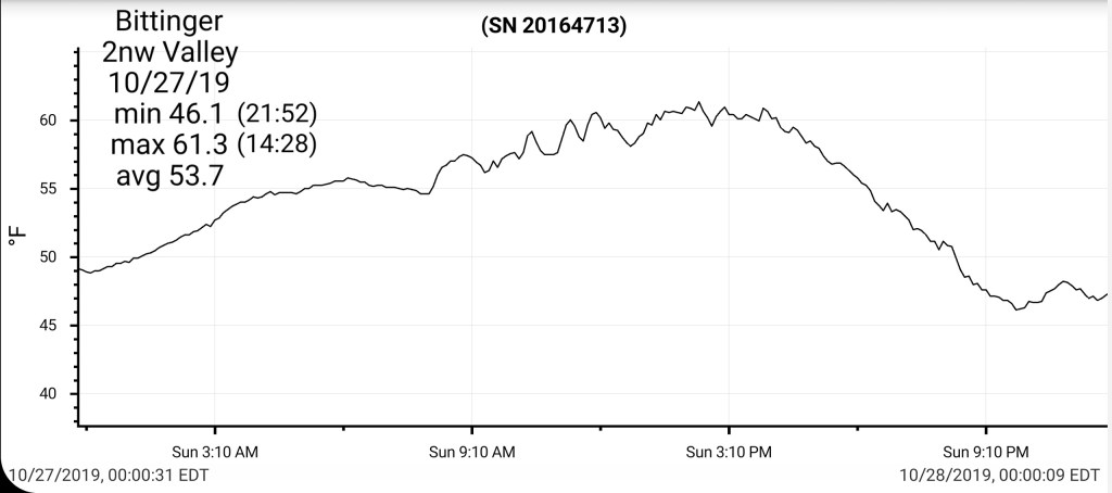
Temps today
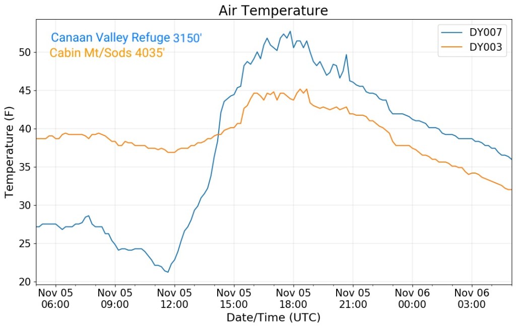
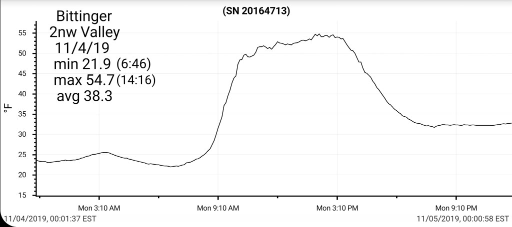
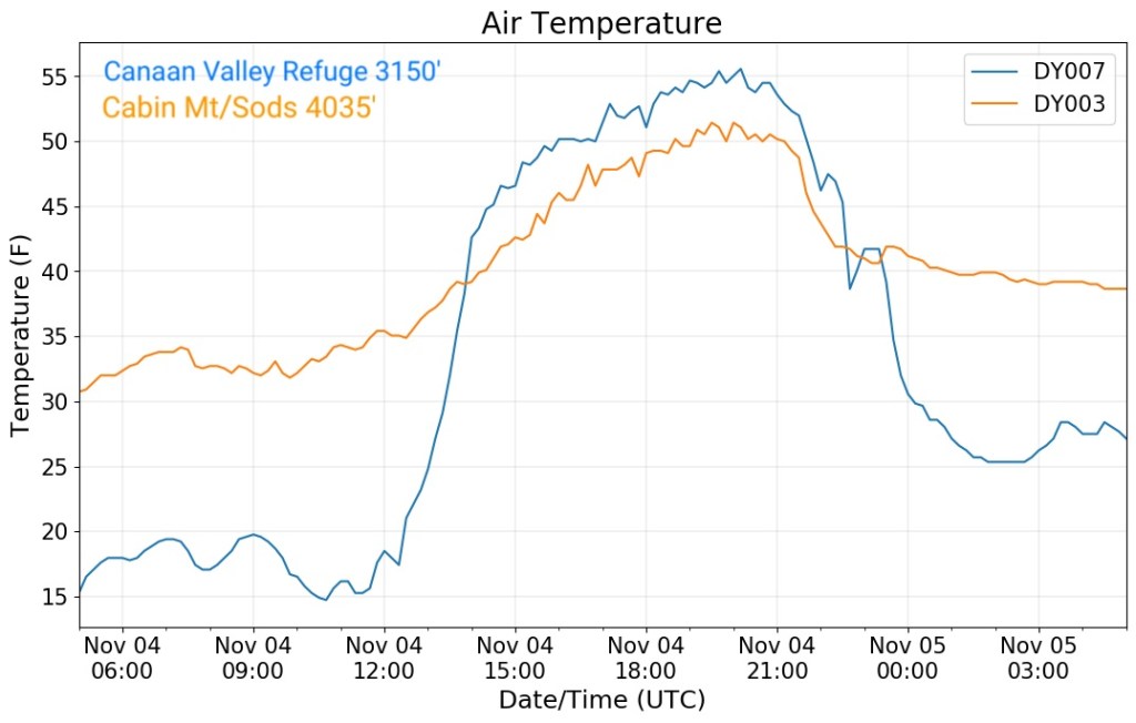
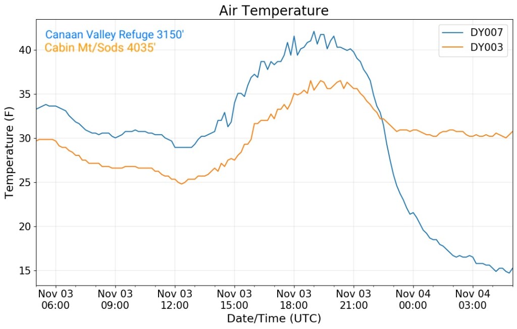
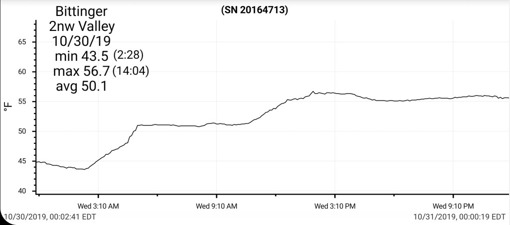
Valley site vs Cabin Mt
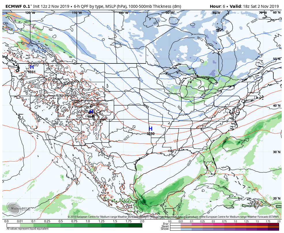
Radar void
Satellite
Flow
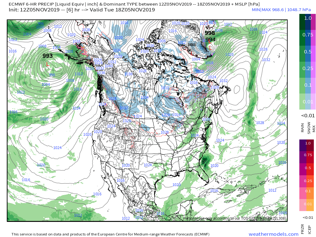
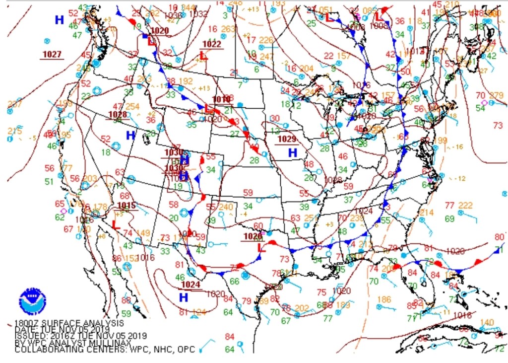
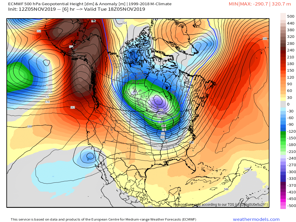
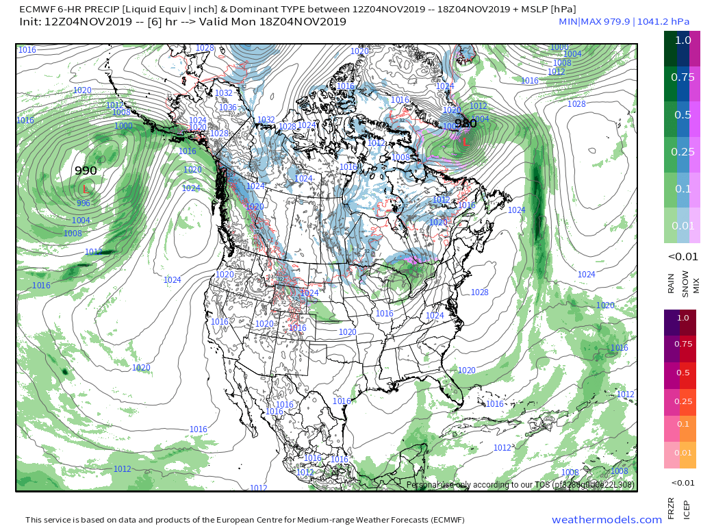
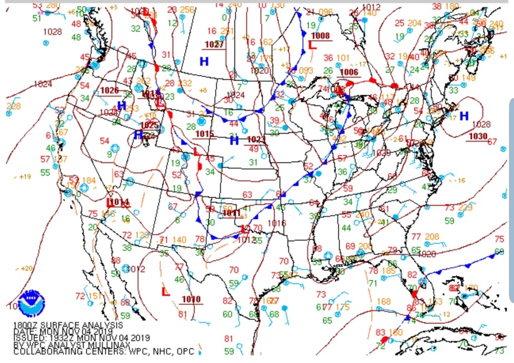
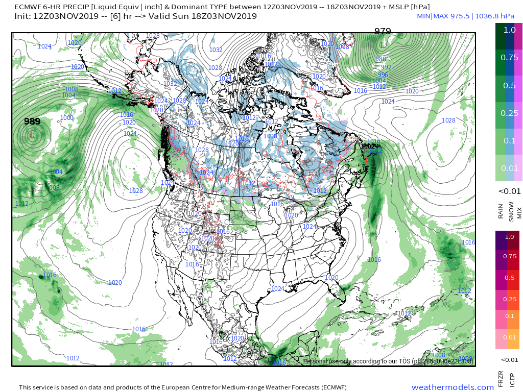
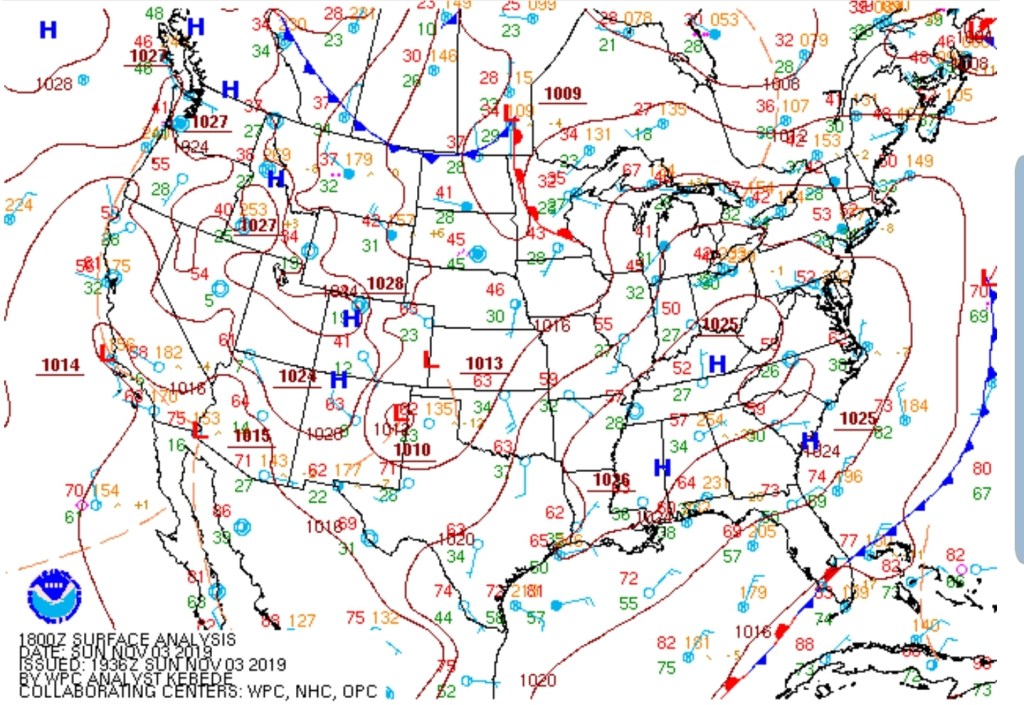
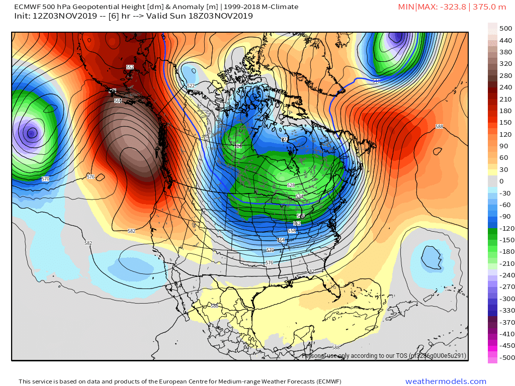
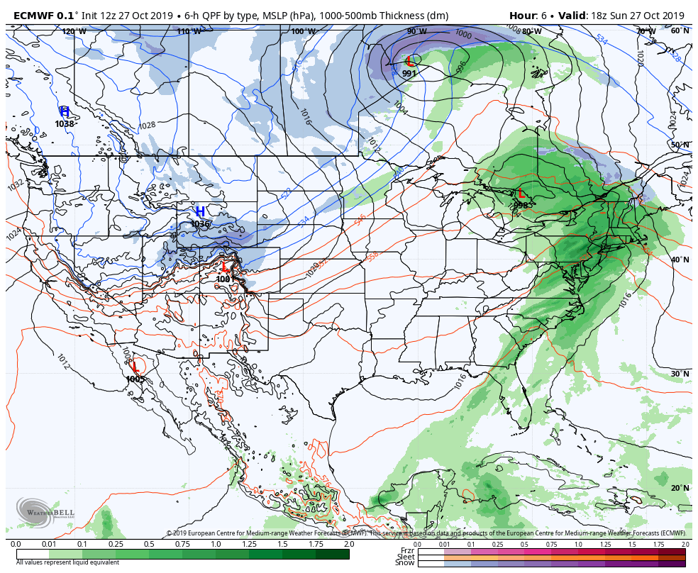
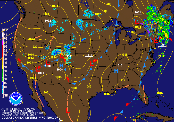
Surface features and 500mb height anomalies and flow
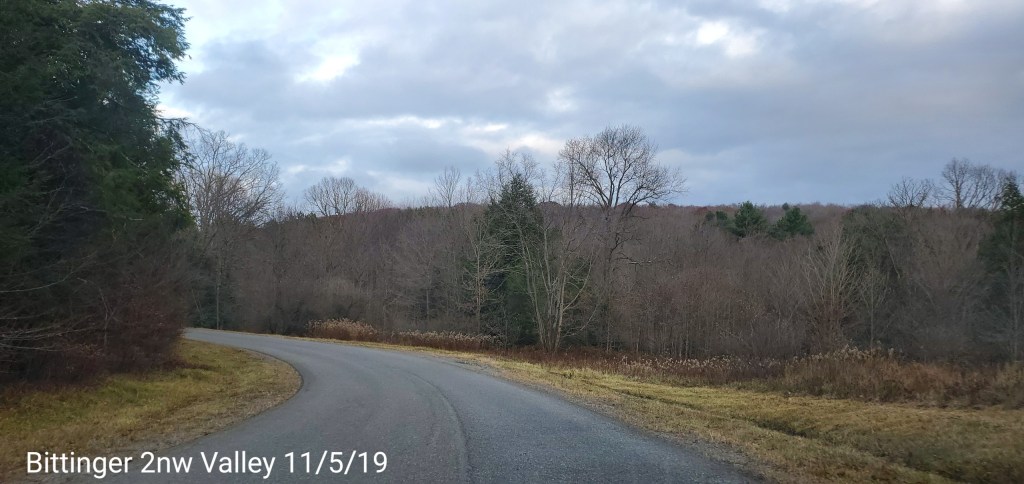
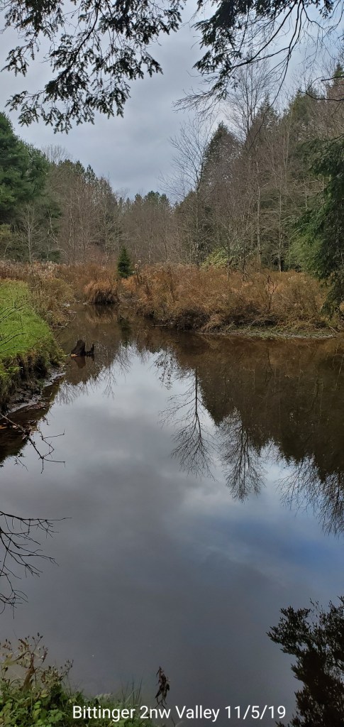
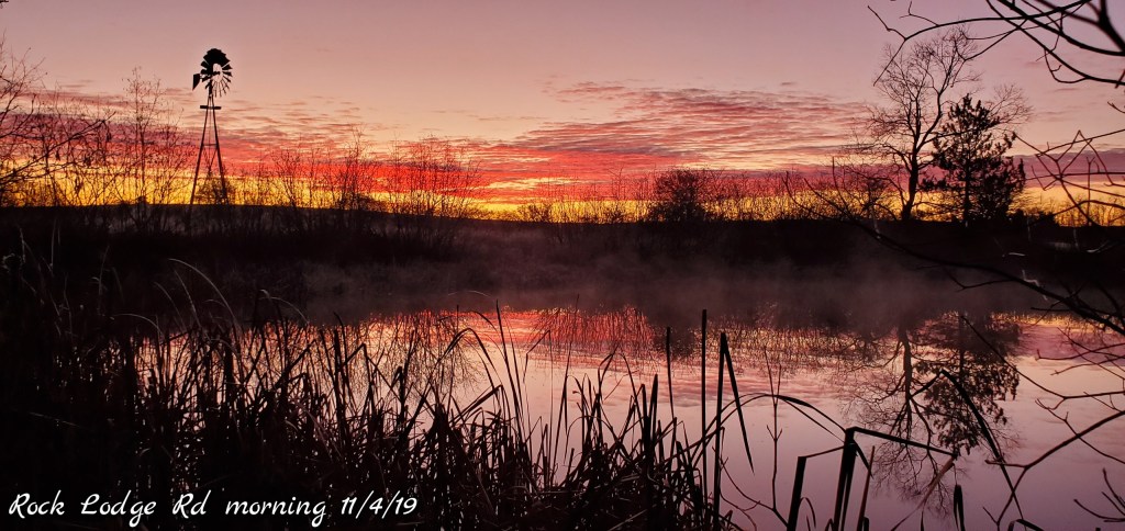
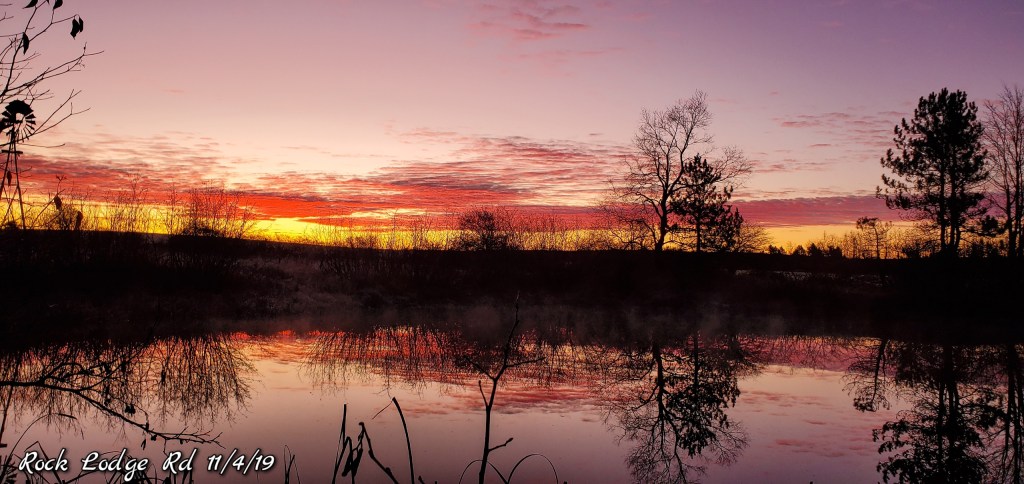
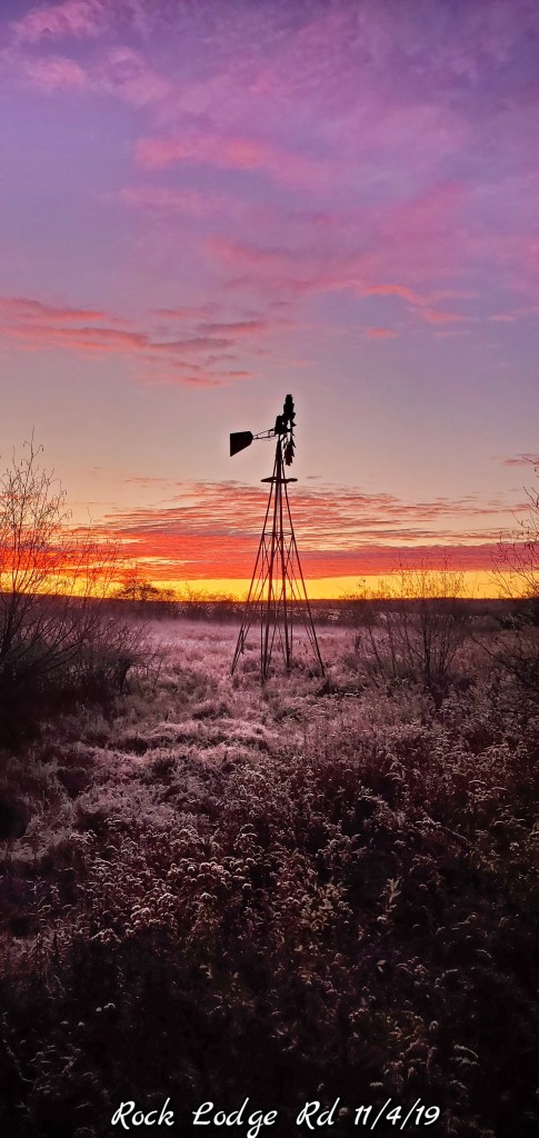
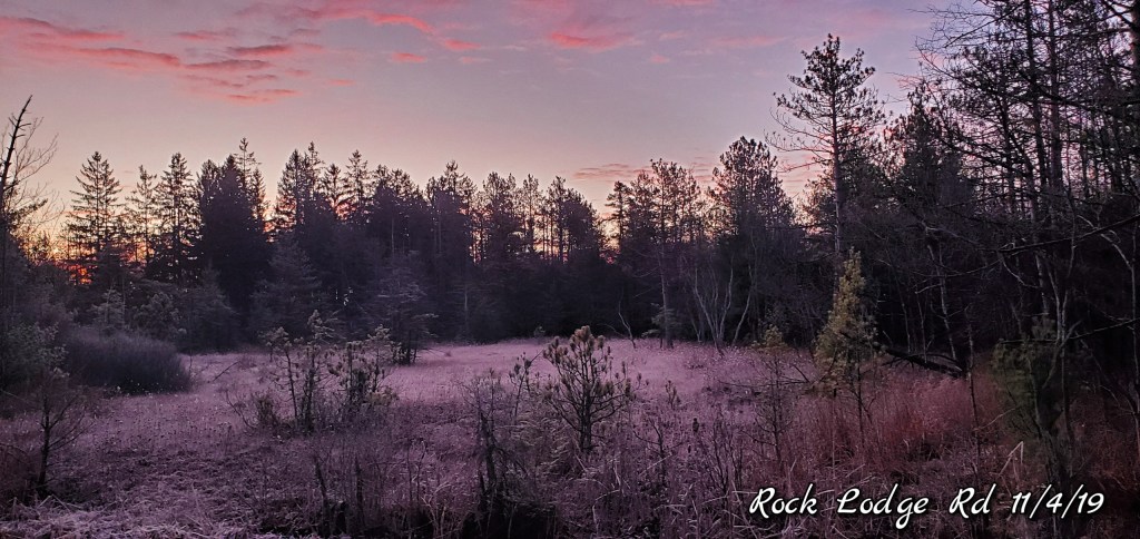
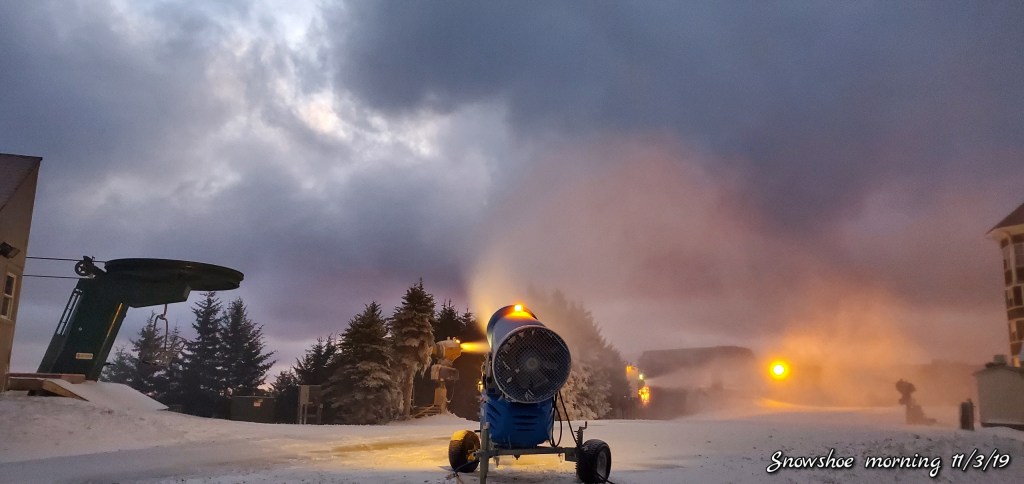
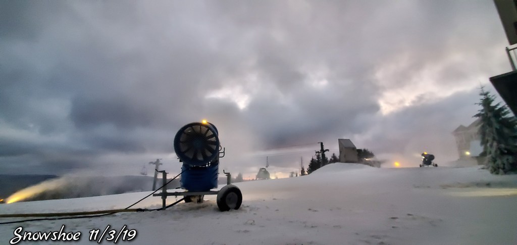
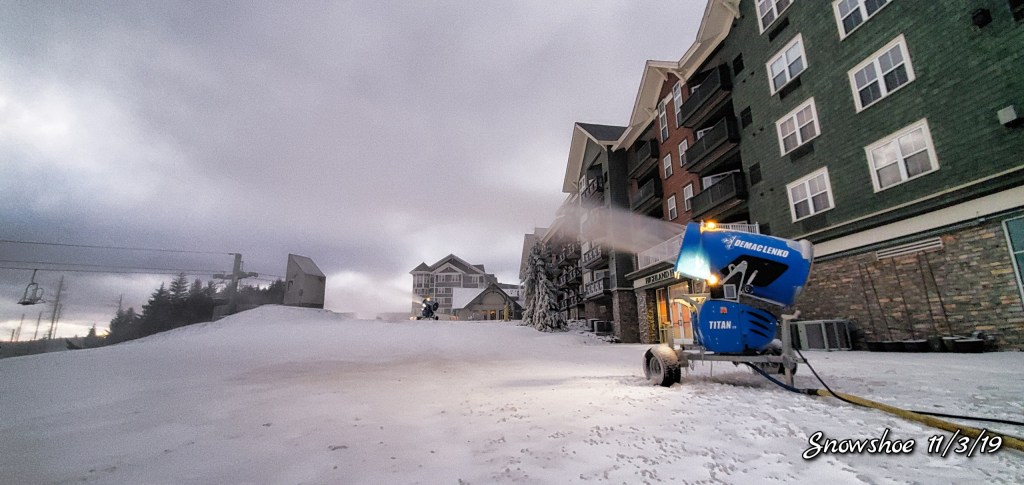
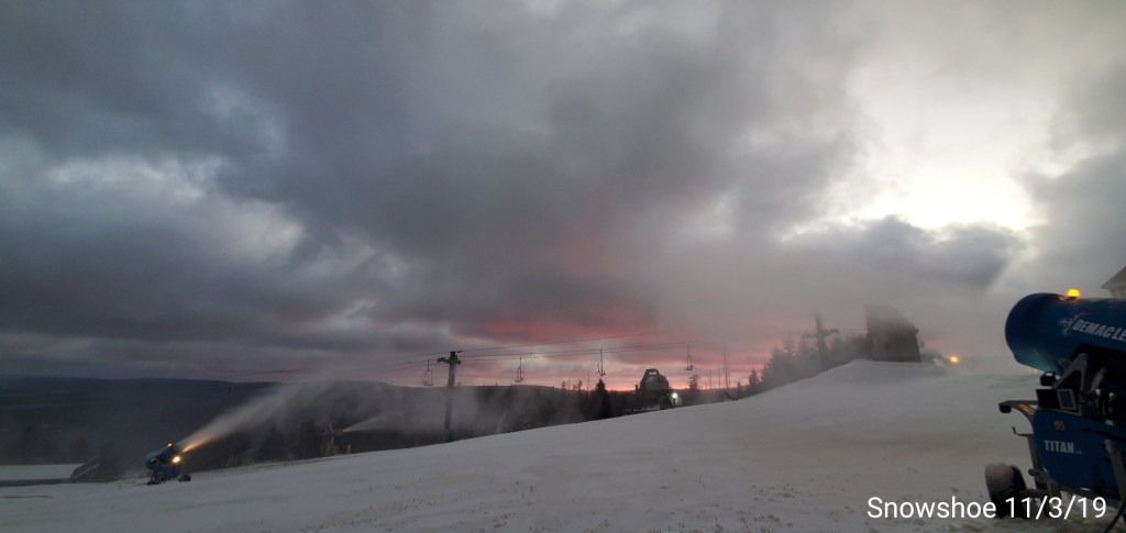
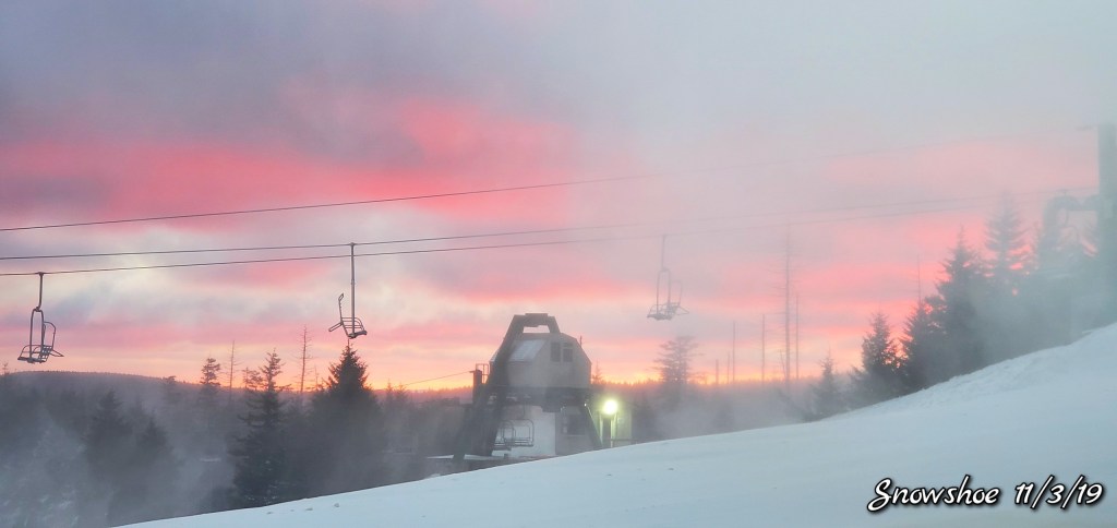
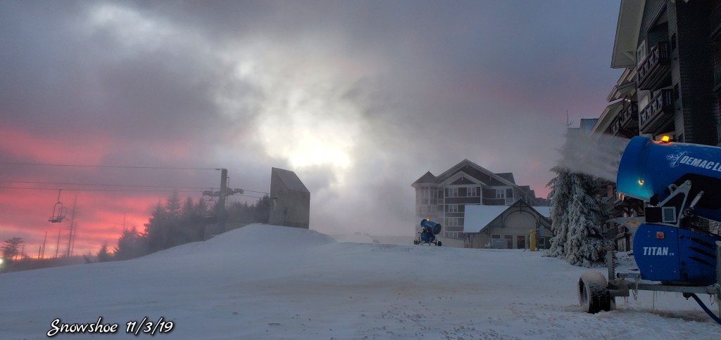
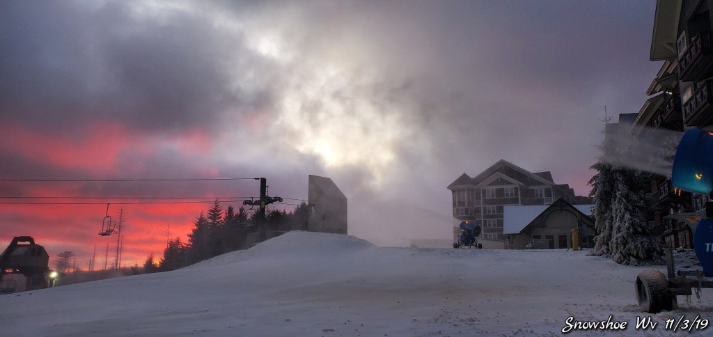
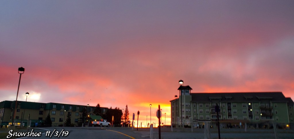
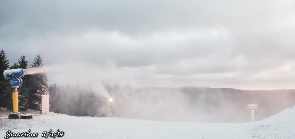
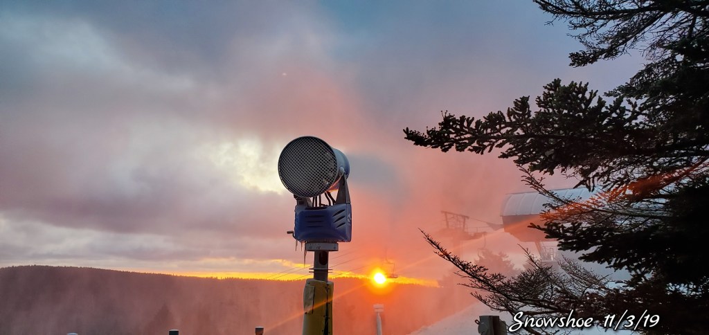
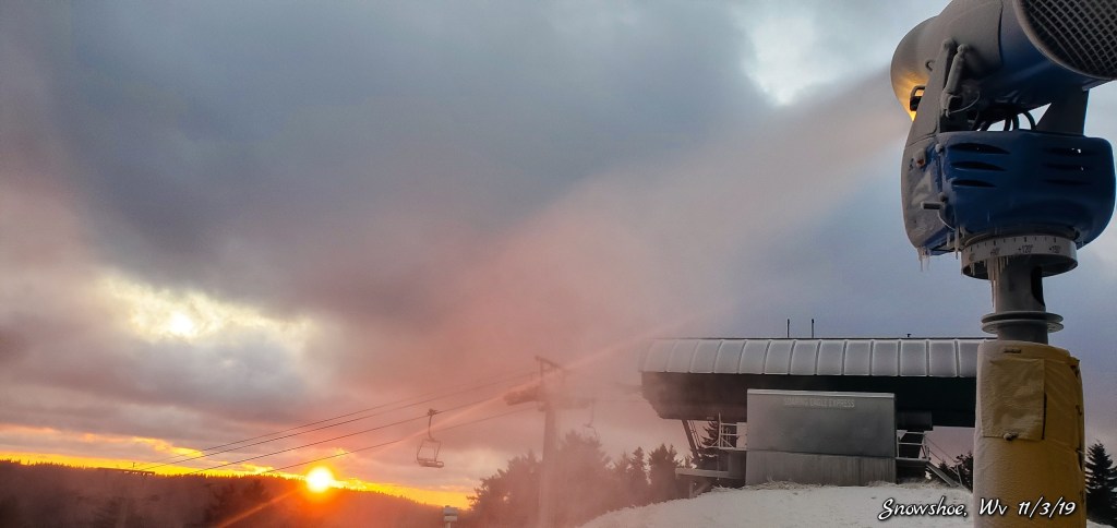
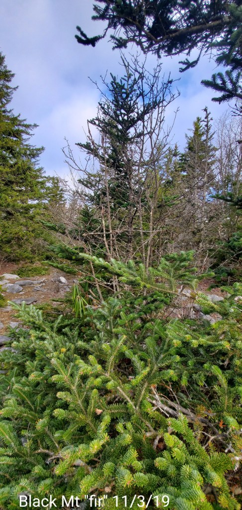
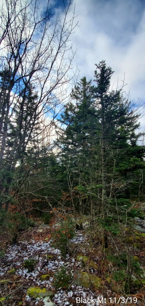
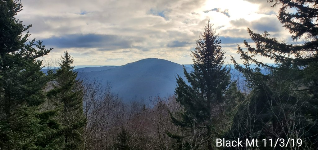
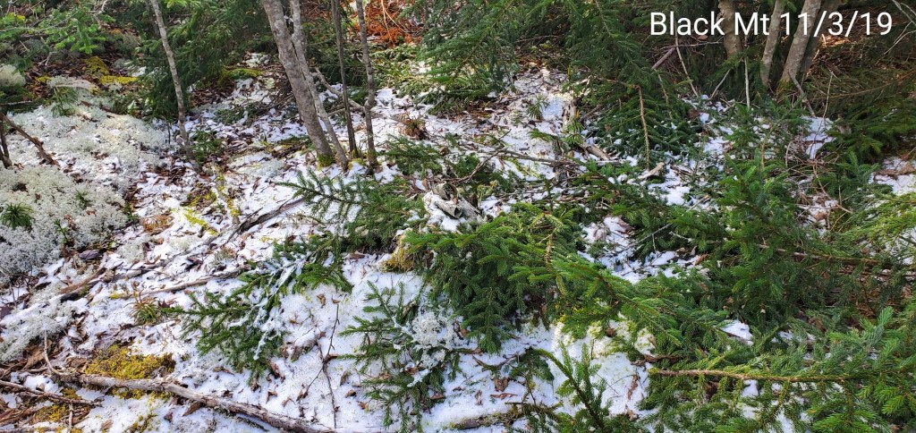
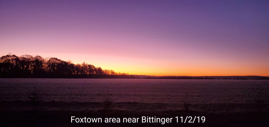
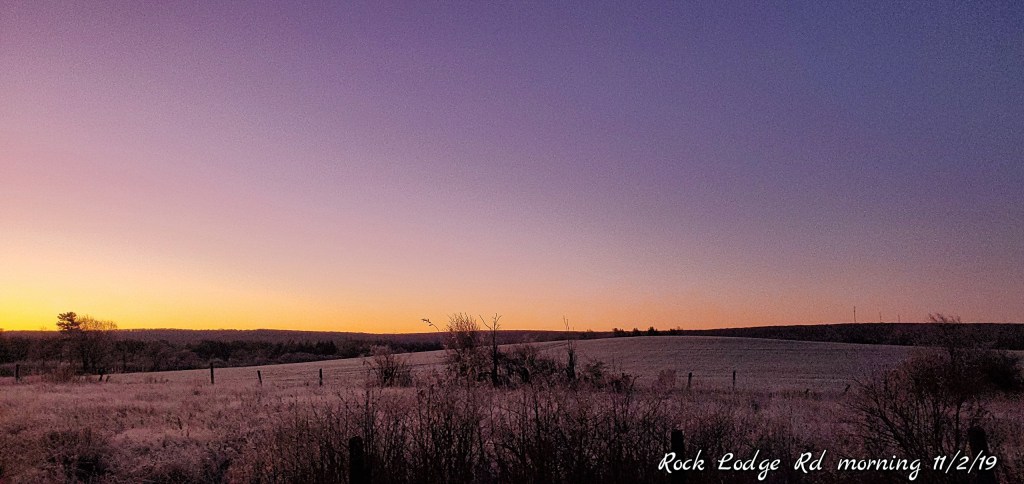
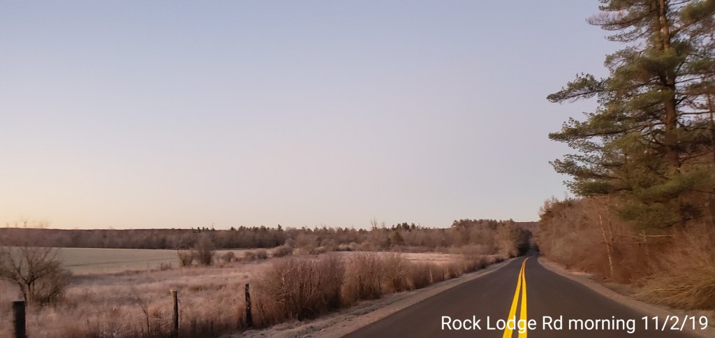
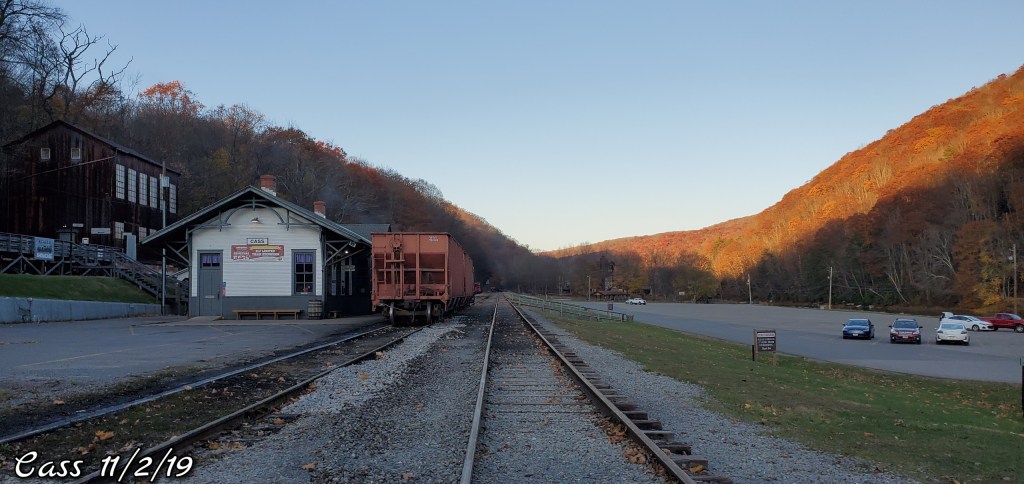
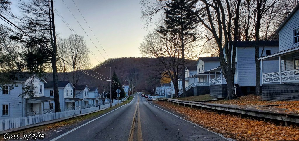
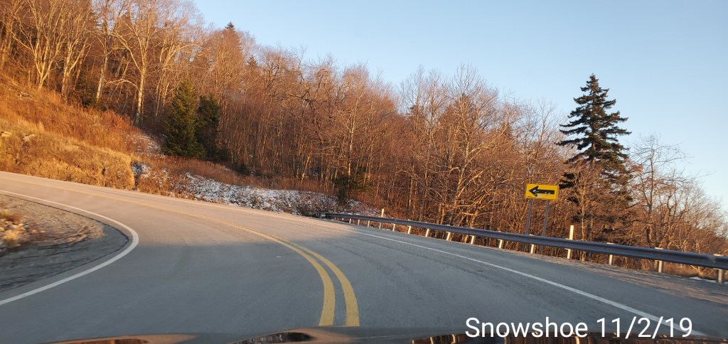
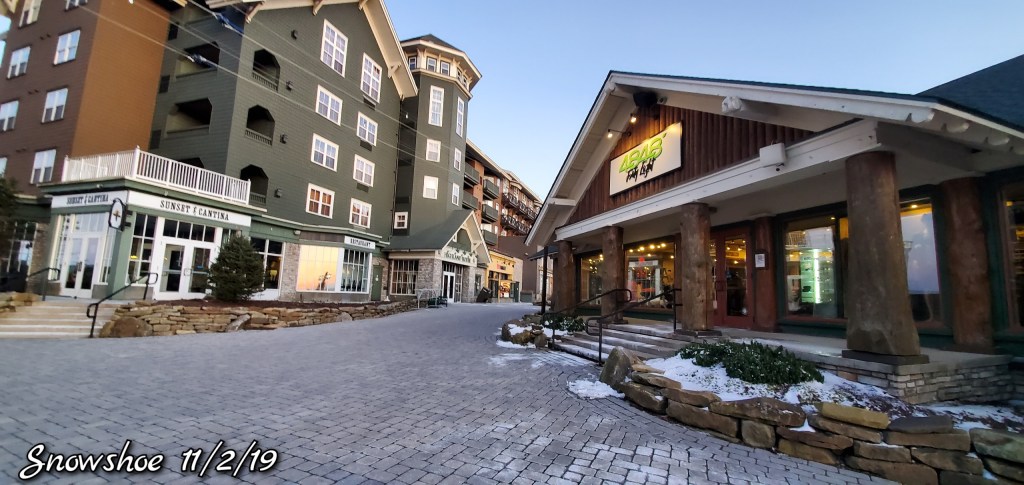
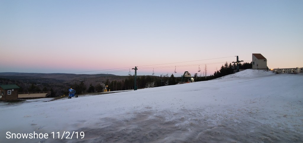
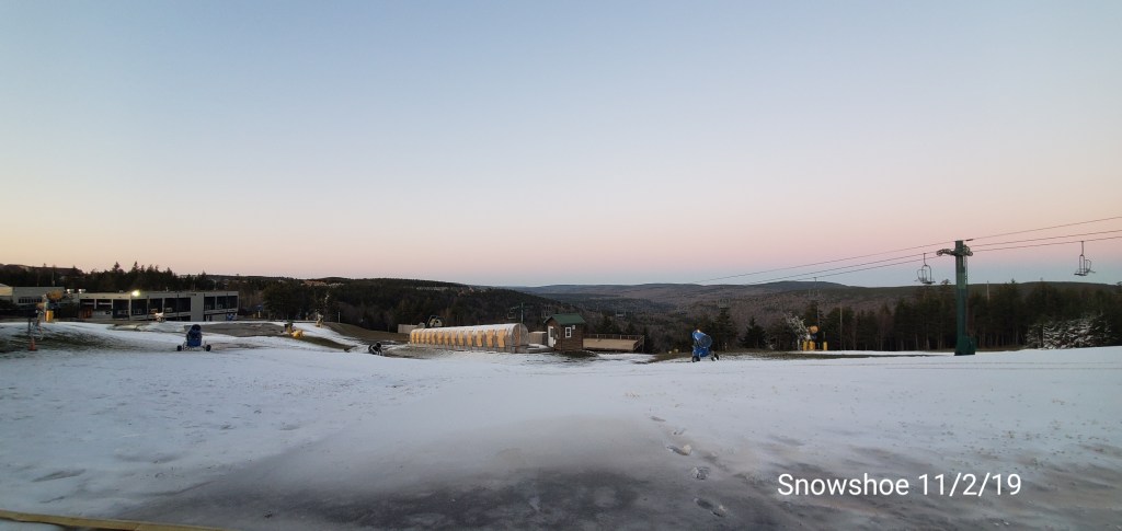
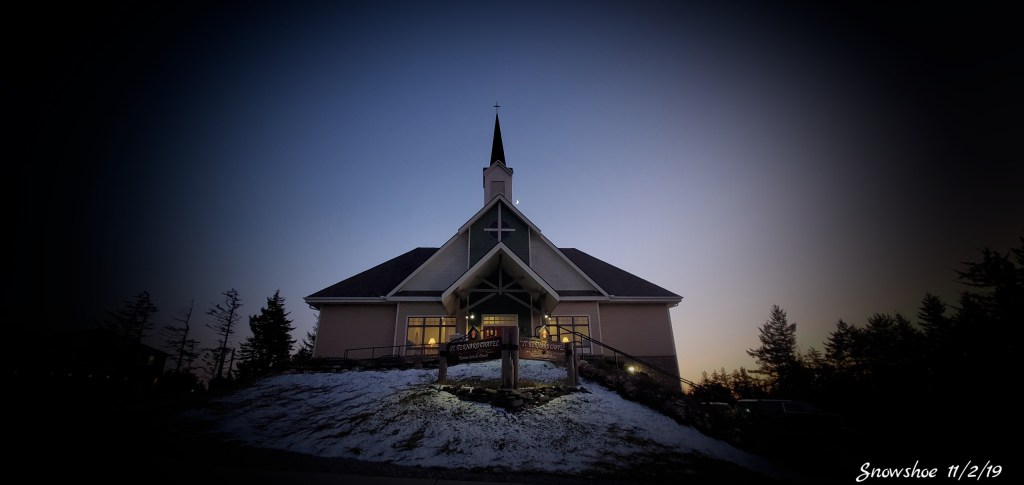
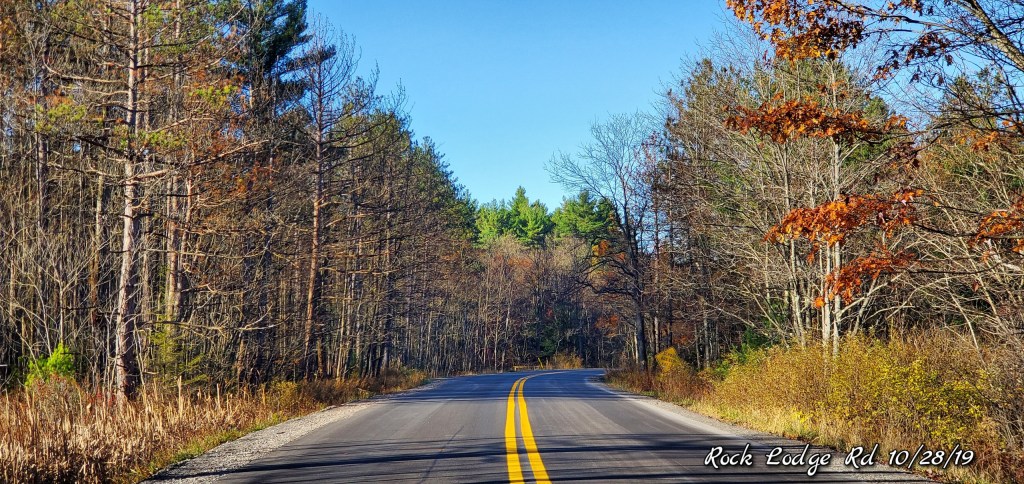
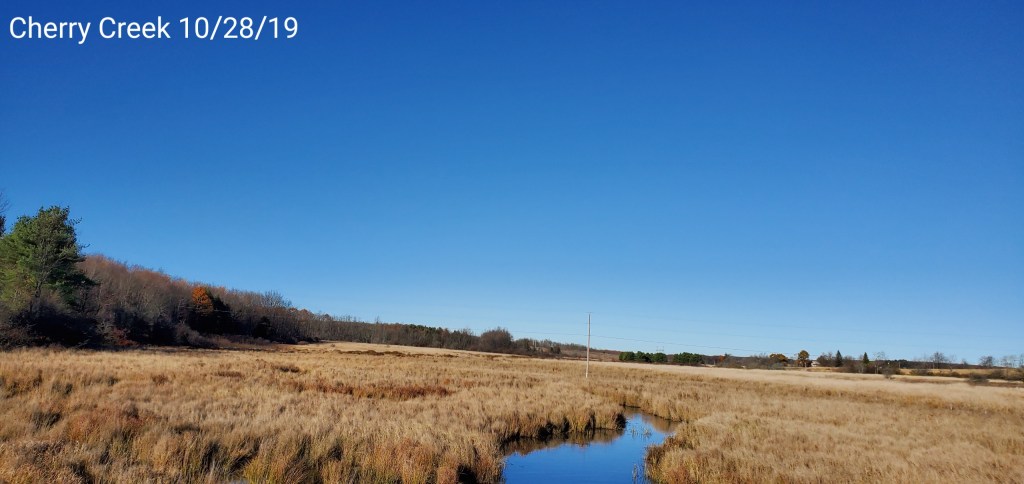
Pics today:
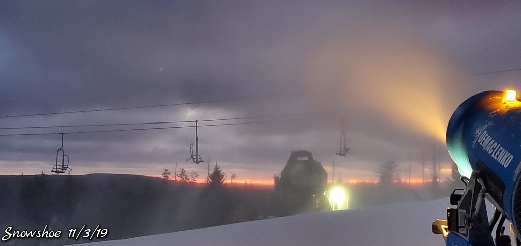
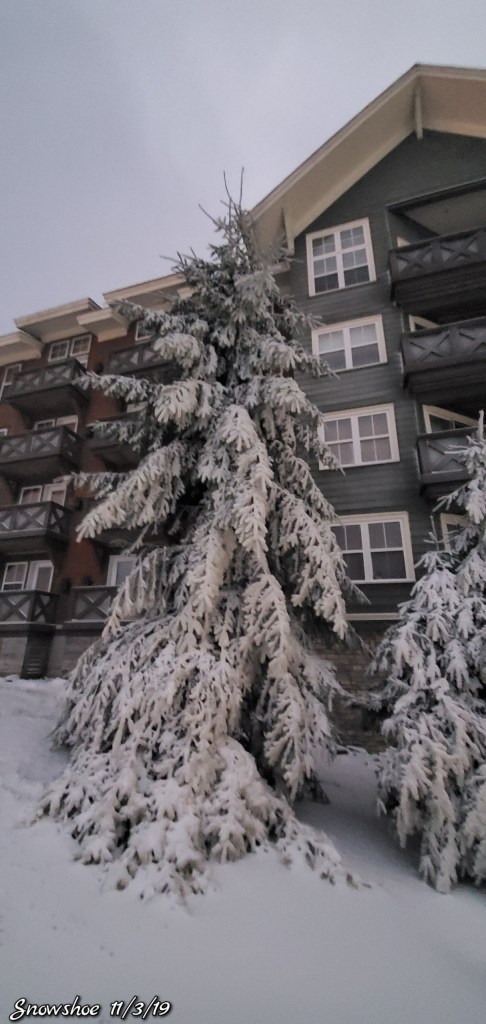
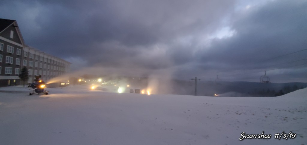
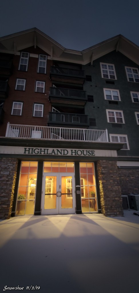
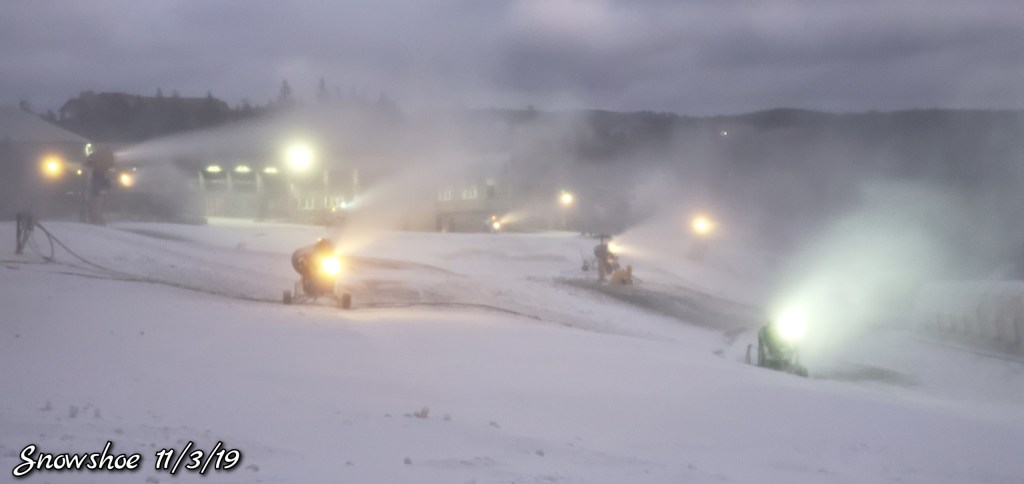
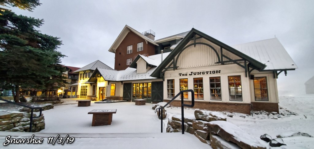
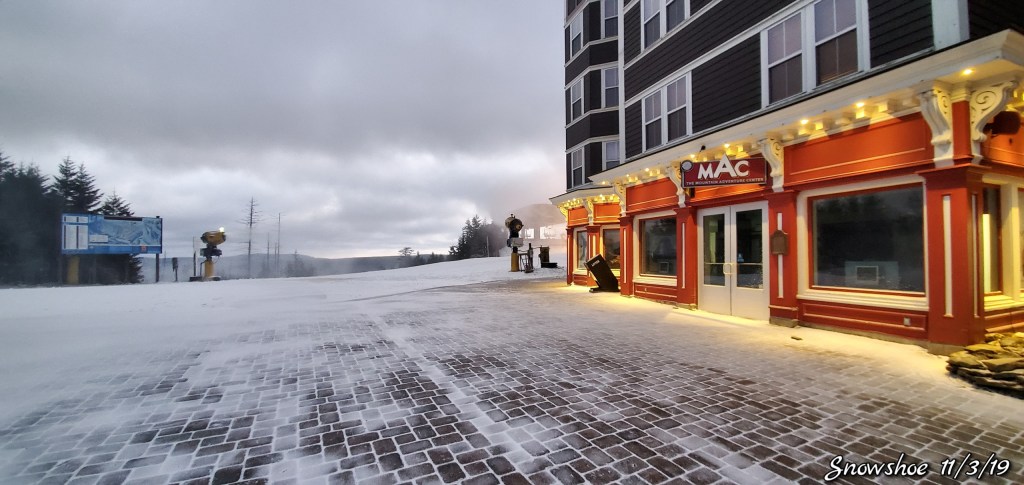
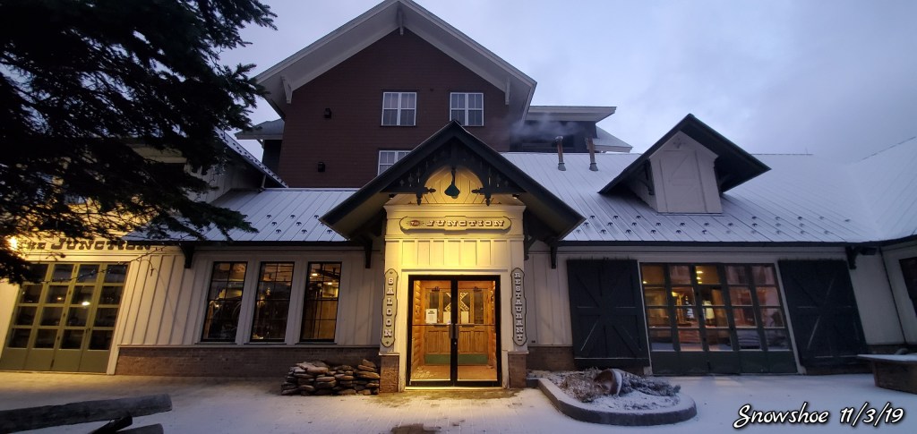
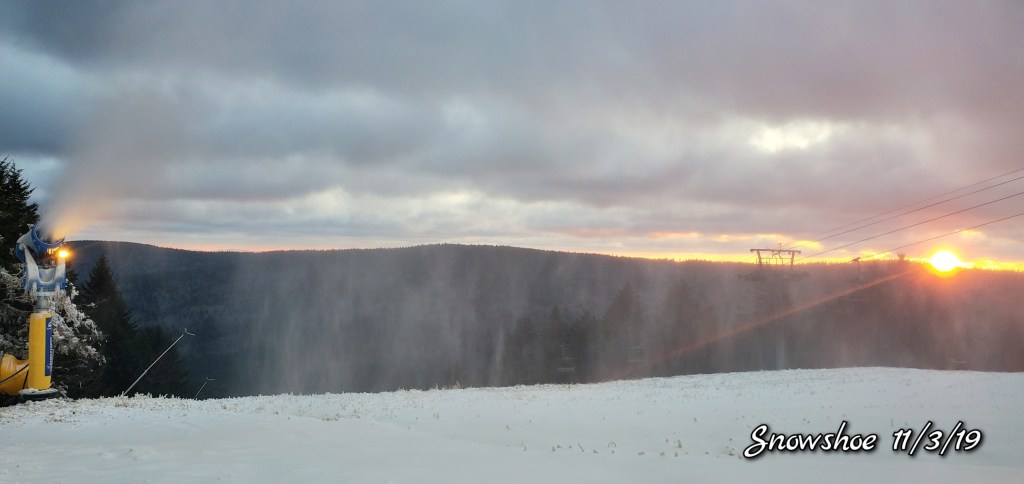
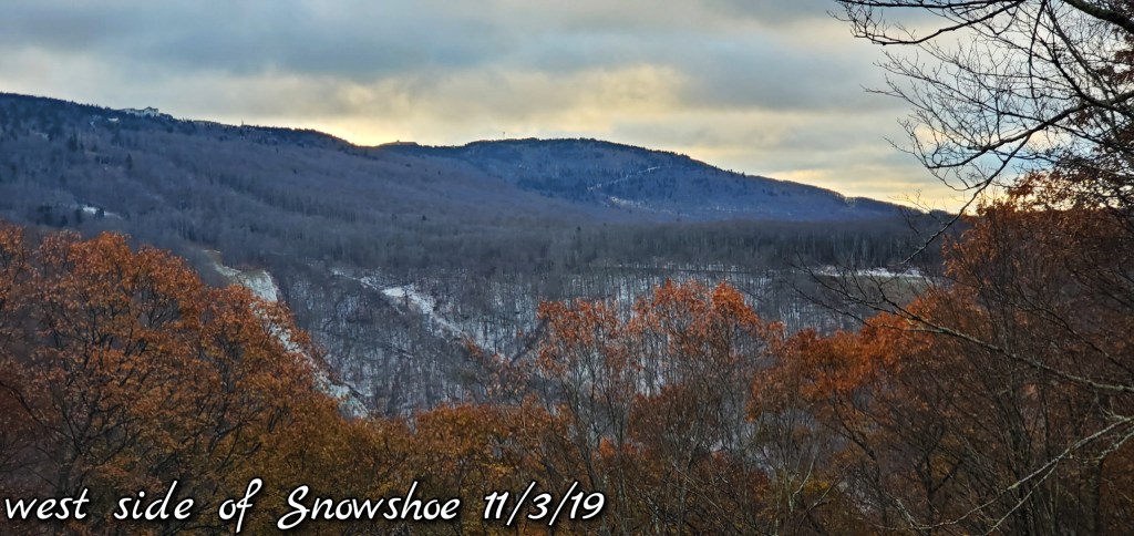
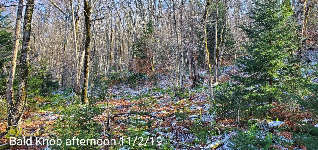
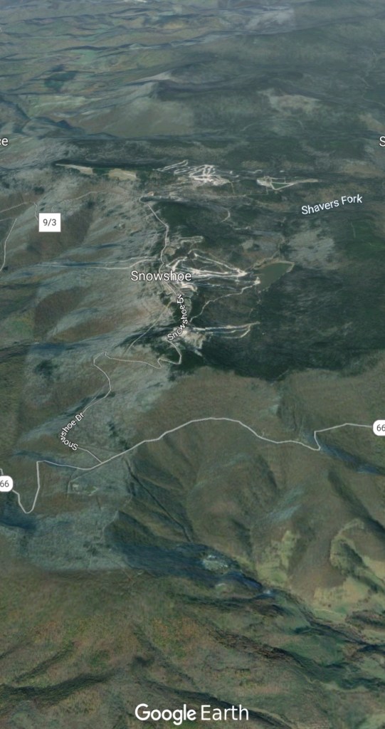
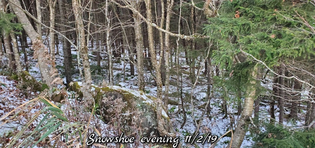
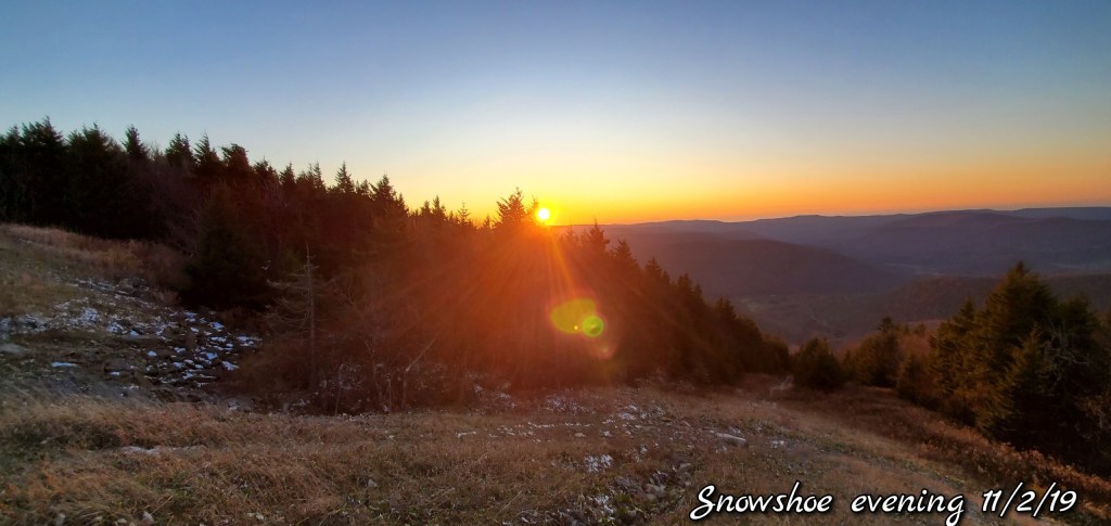
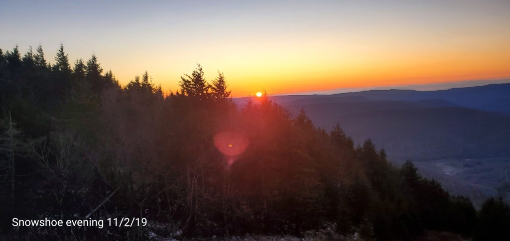
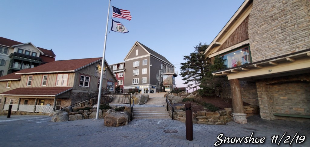
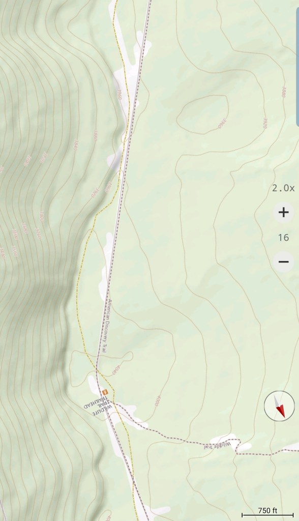
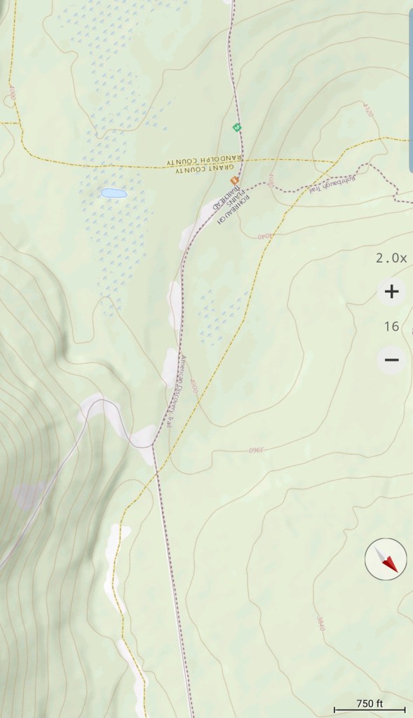
Snowshoe
Snow guns were on, it looked, felt like winter. Cold winds blowing Snow guns ran until midday and returned after dark for a short time. Still a little natural snow left under the Spruce and north facing areas.
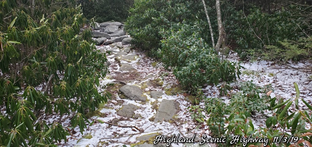
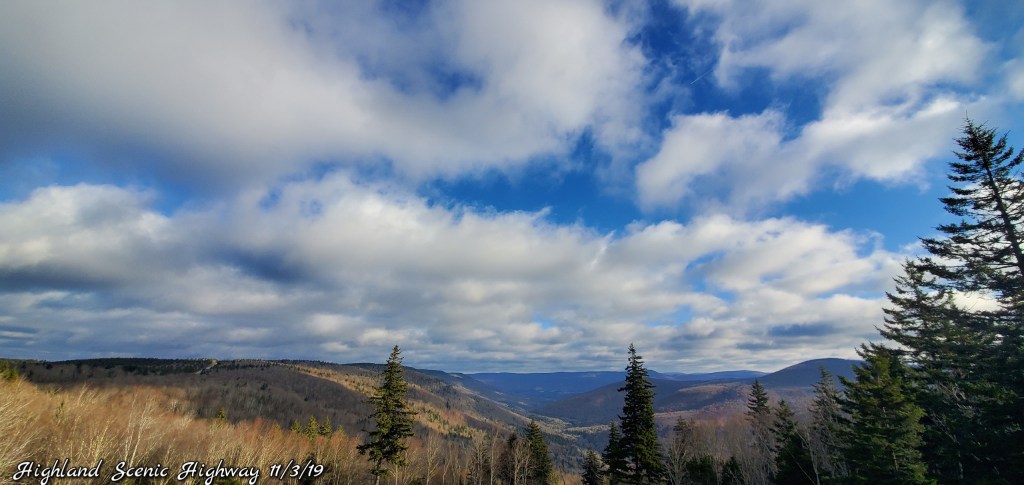
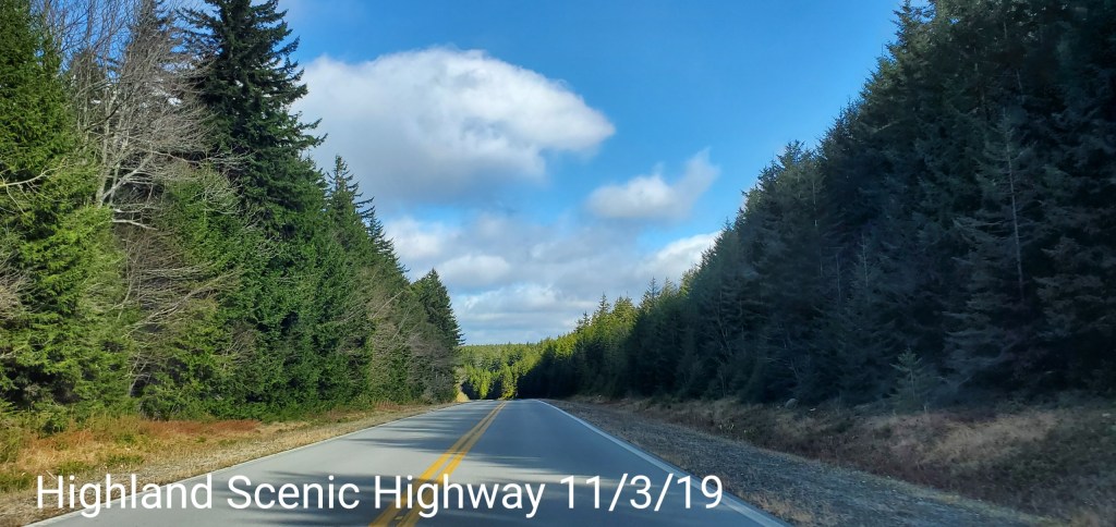
Highland Scenic Highway
Little snow in shady and north facing areas remain
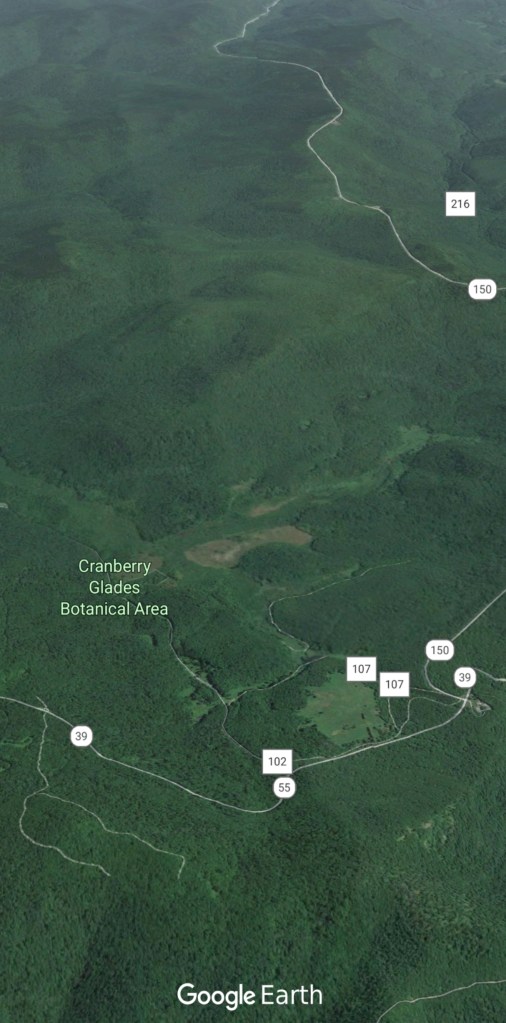
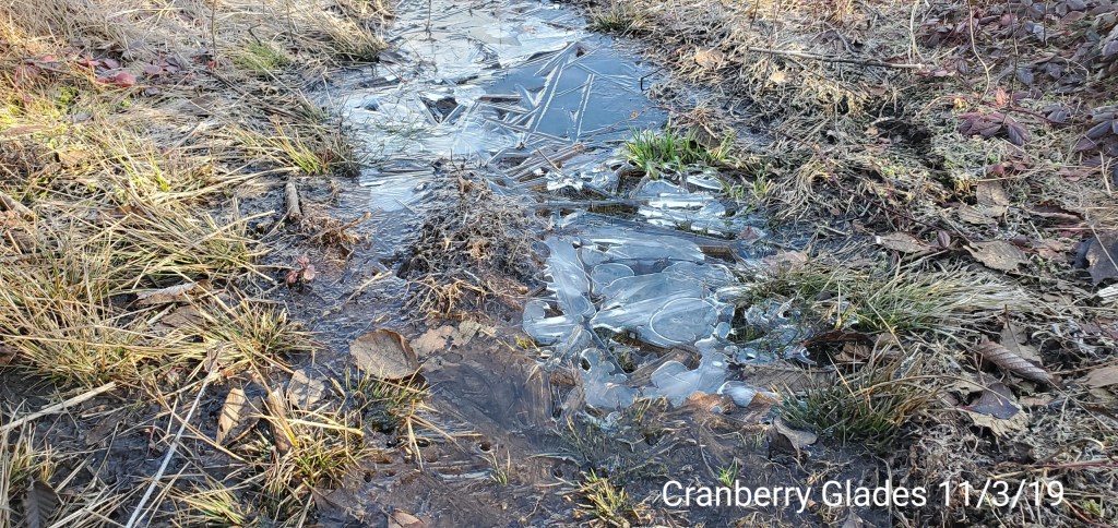
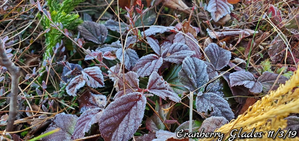
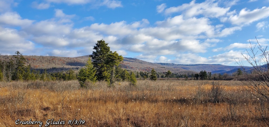
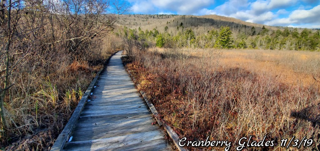
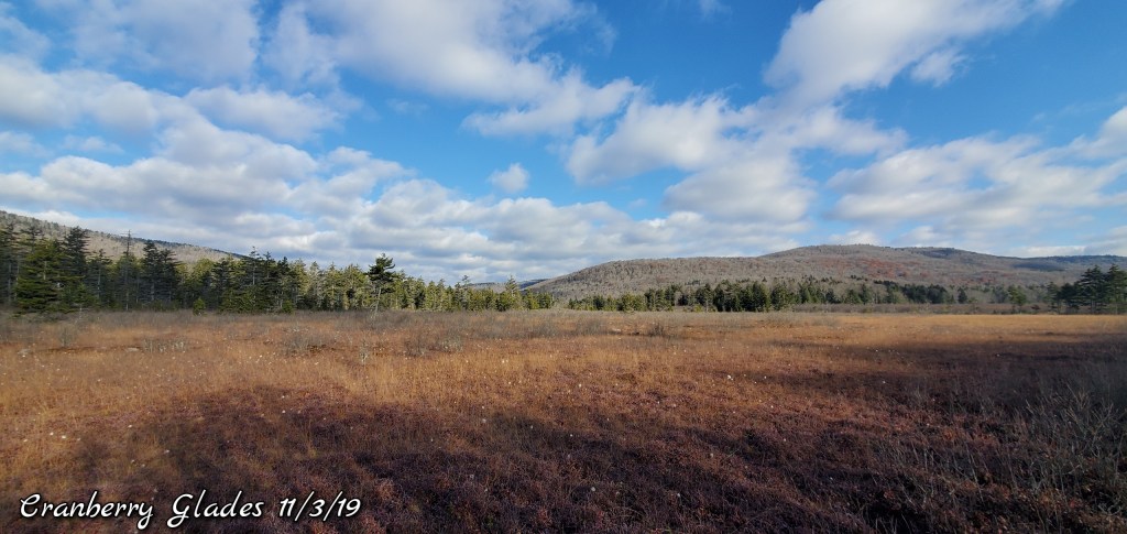
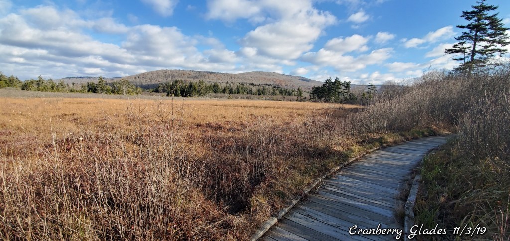
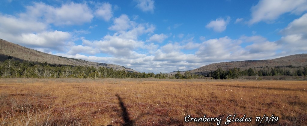
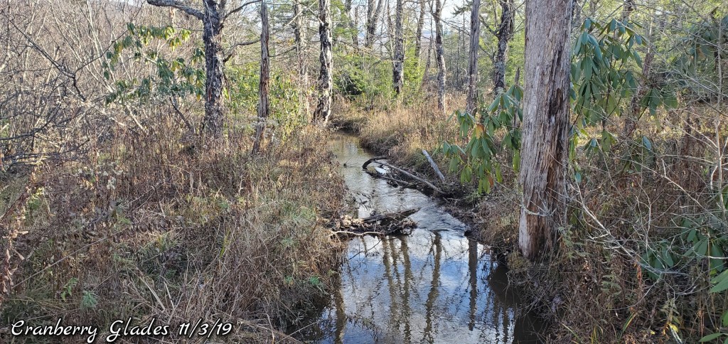
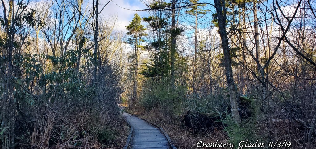
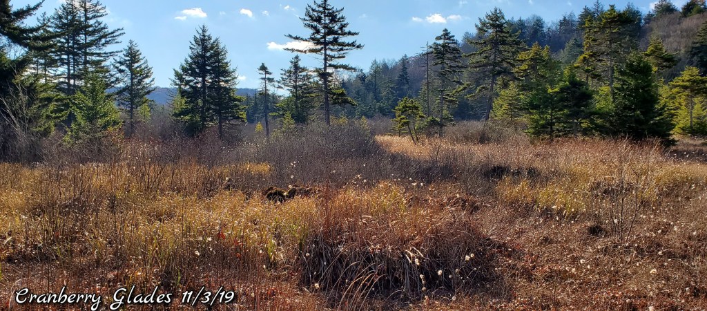
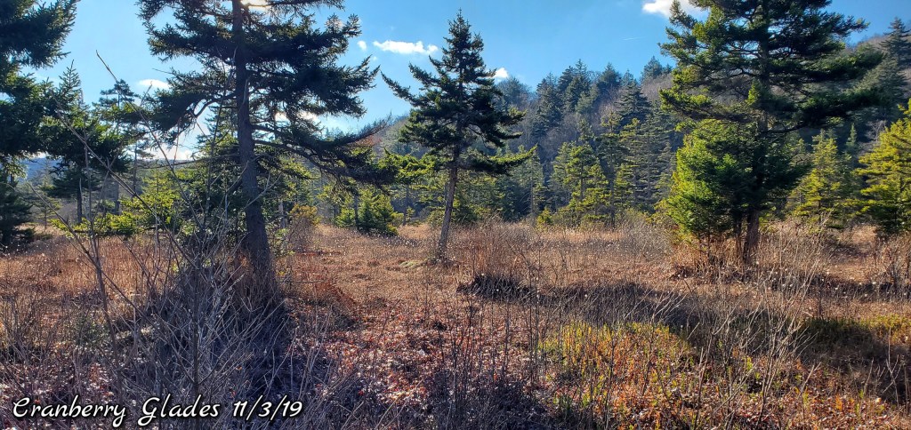
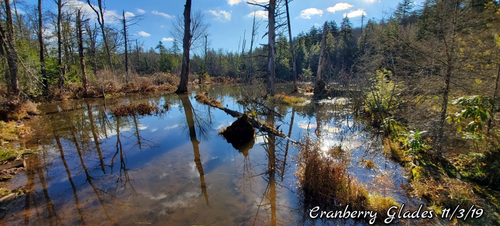
Cranberry Glades
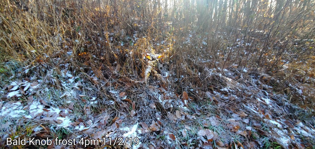
Patches of snow, also while the winds were very strong overnight across the high ground, there was frost on the Glades, to me, indicating winds were calm here.
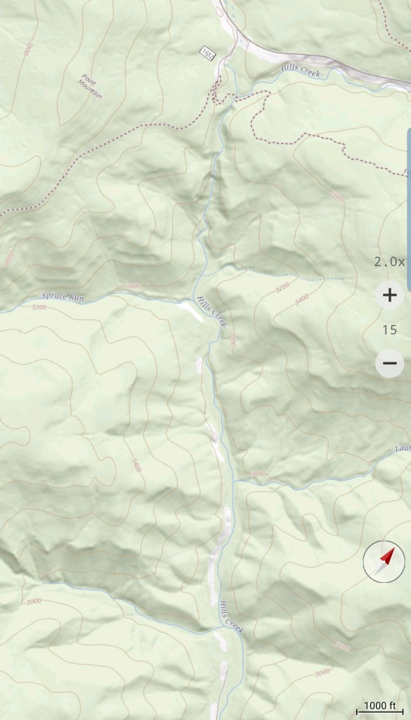
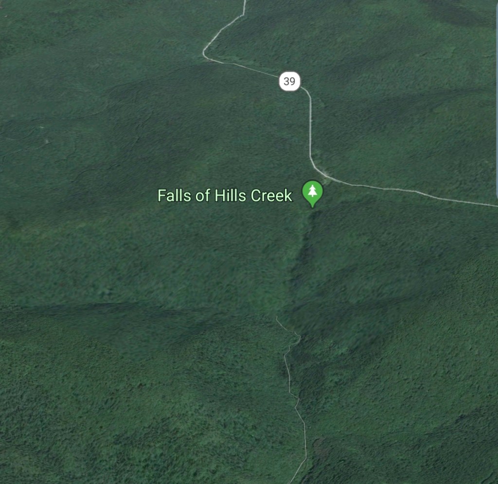
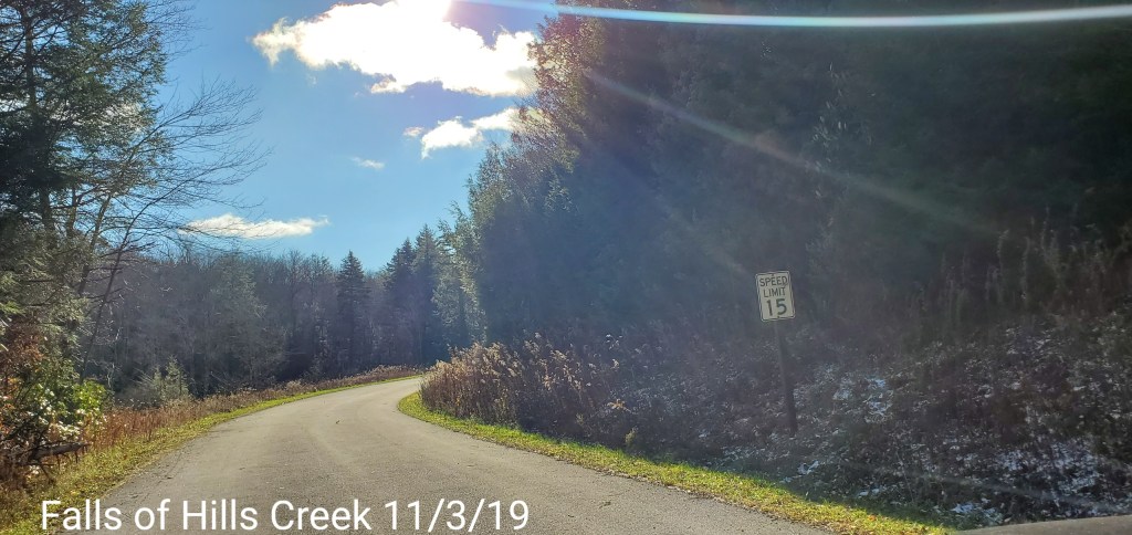
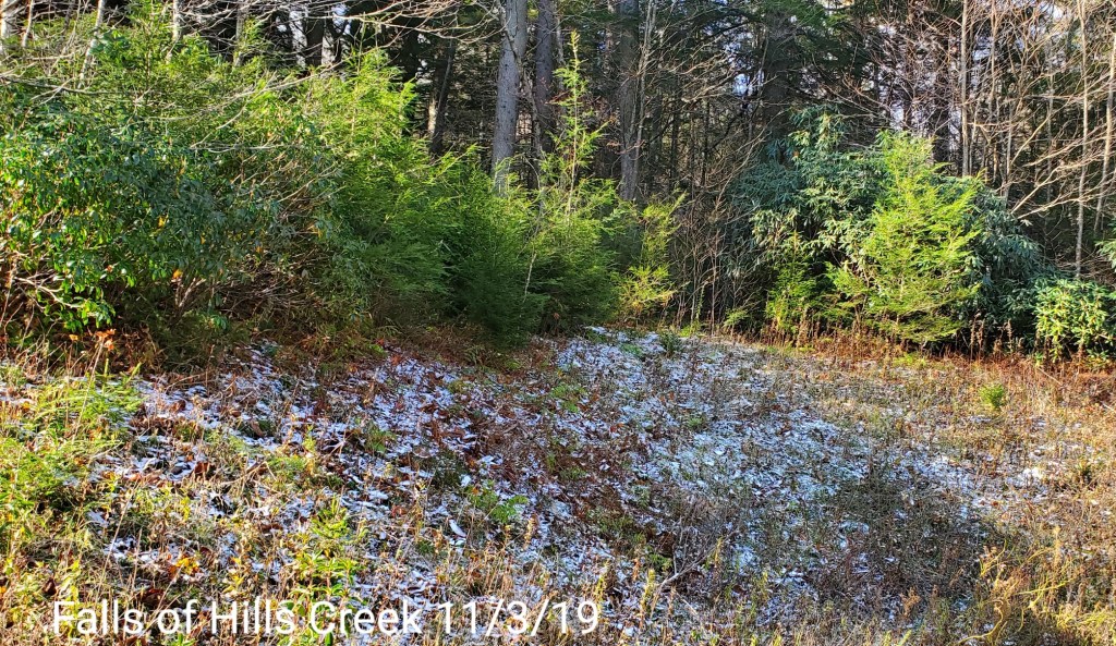
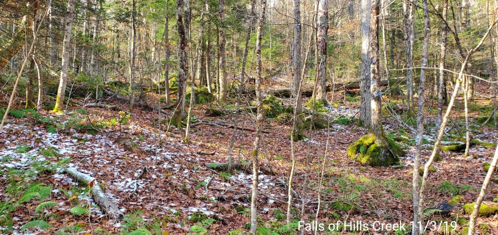
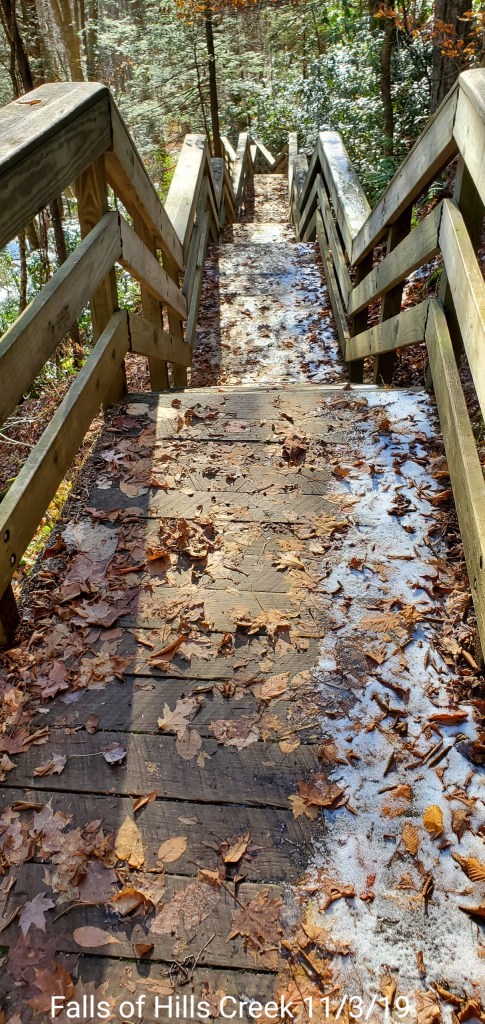
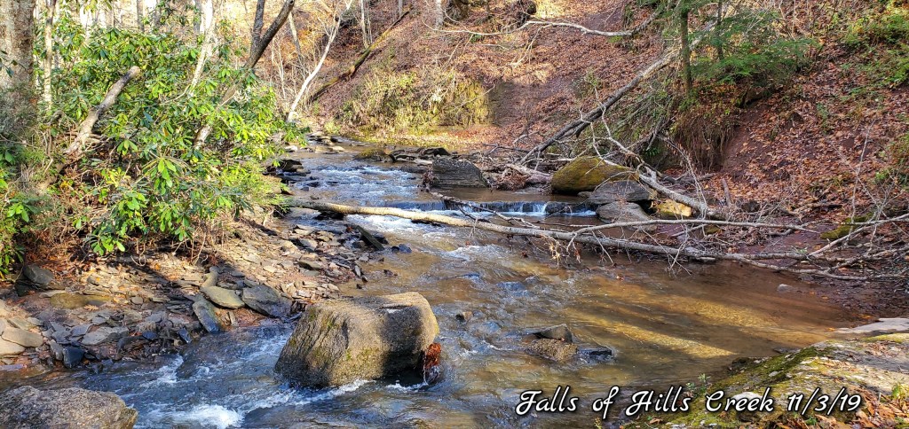
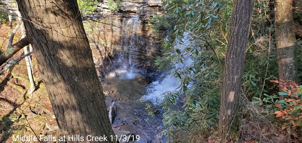
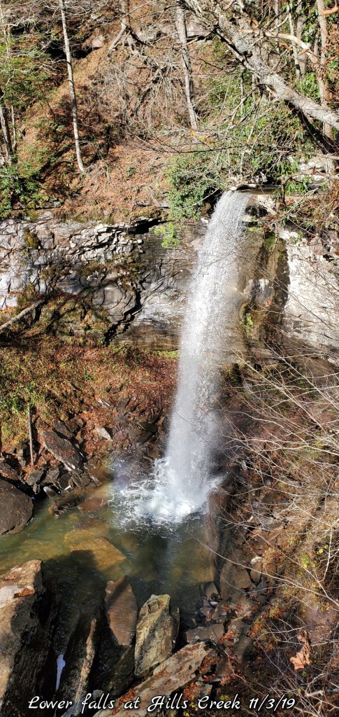
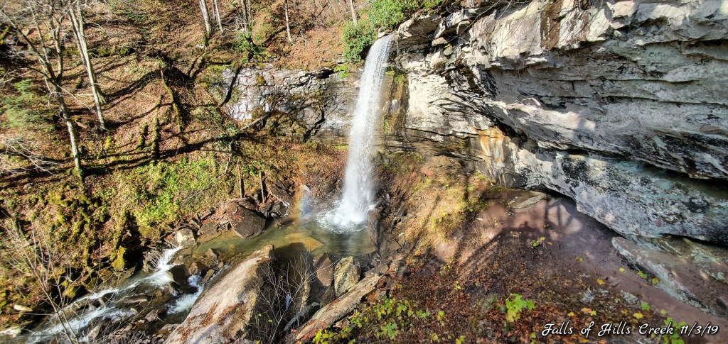
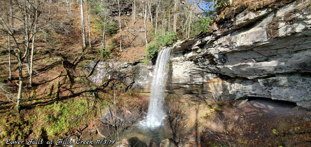
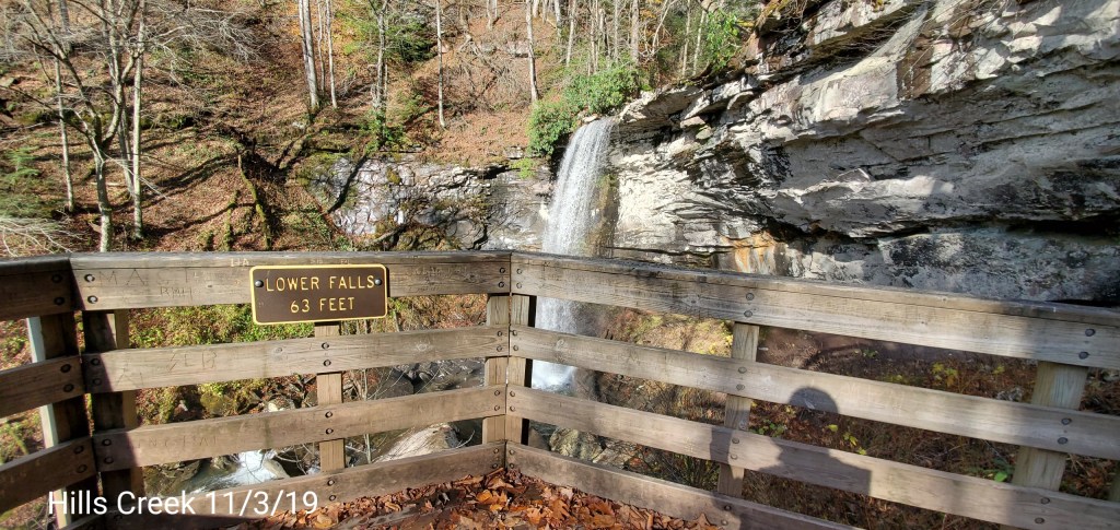
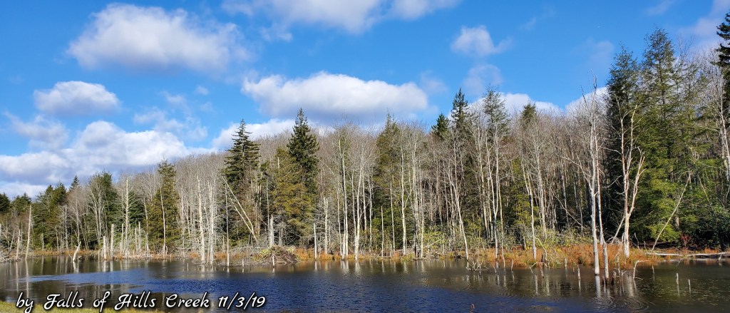
Falls of Hills Creek
Touch of snow in shady spots up top….the creek flowing nicely today…
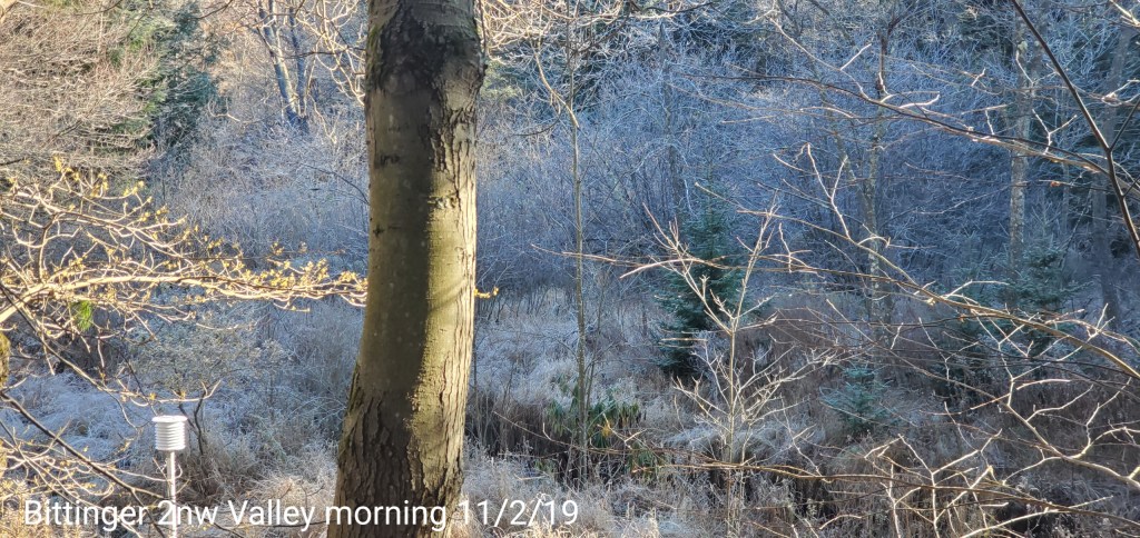
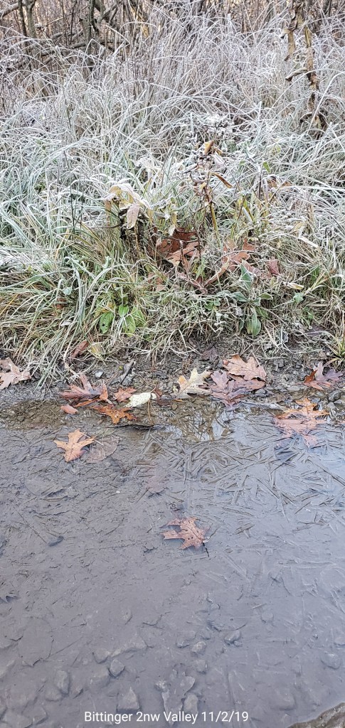
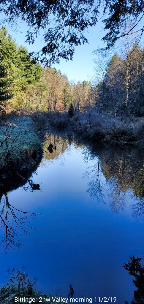
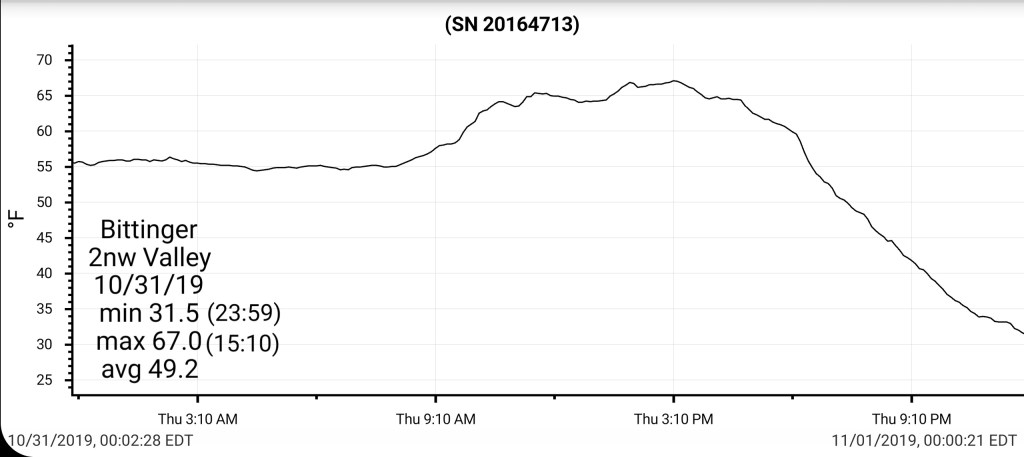
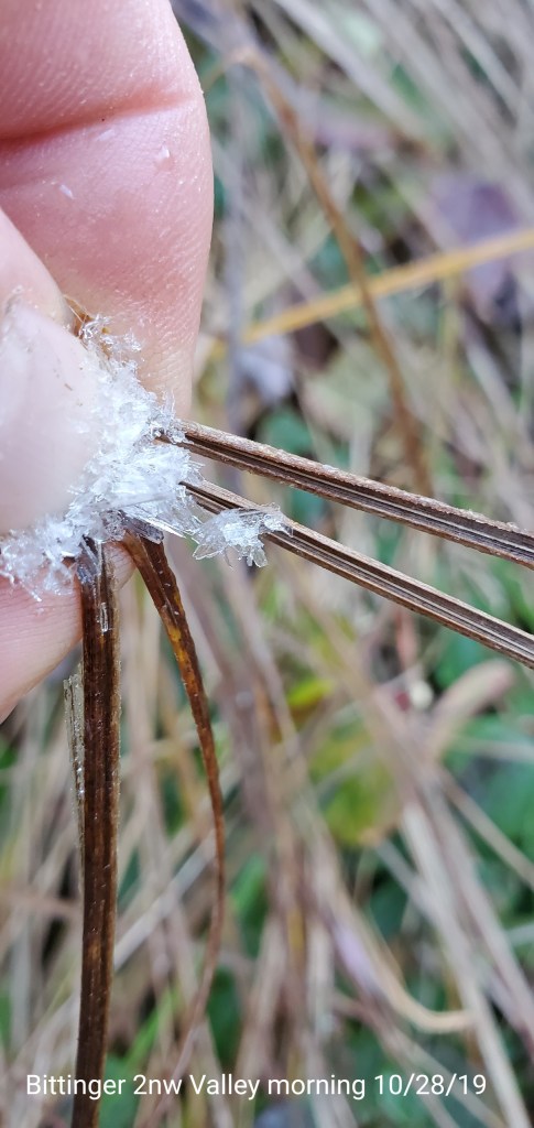
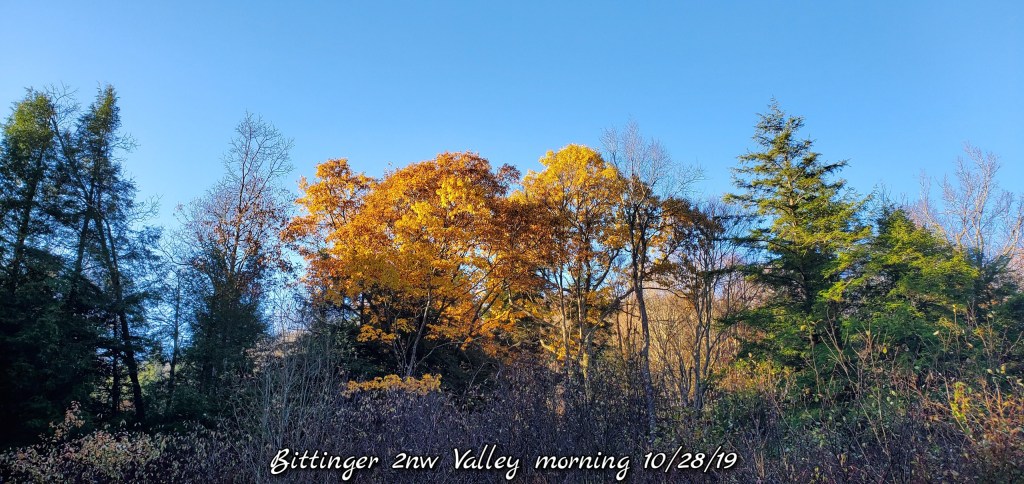
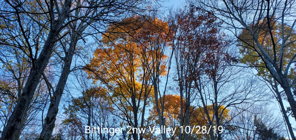
Clear, very cold, frosty start. Very pretty out. A super nice day. Very low dewpoints. Low enough it allowed the light snow accumulation across the Wv high ground from yesterday morning to last through today, despite temps 35-40.
Temps today
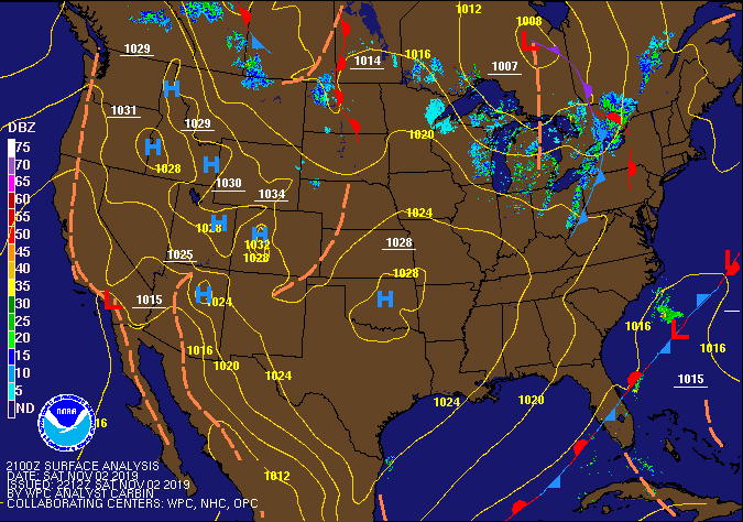
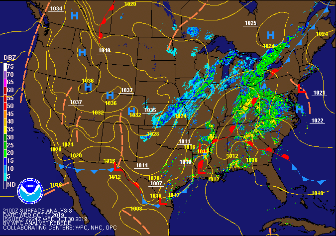
Radar
Satellite-clear so no in close view
Flow
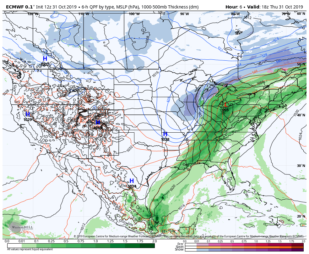
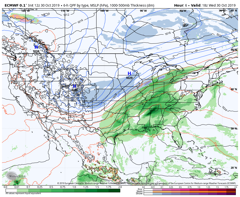
Surface features and 500mb height anomalies and flow
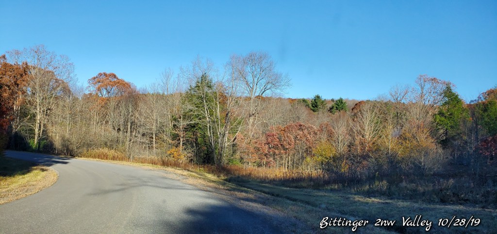
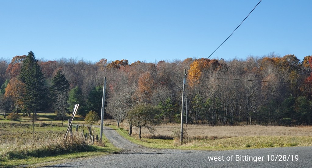
Pics today-
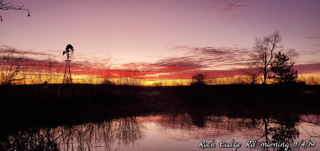
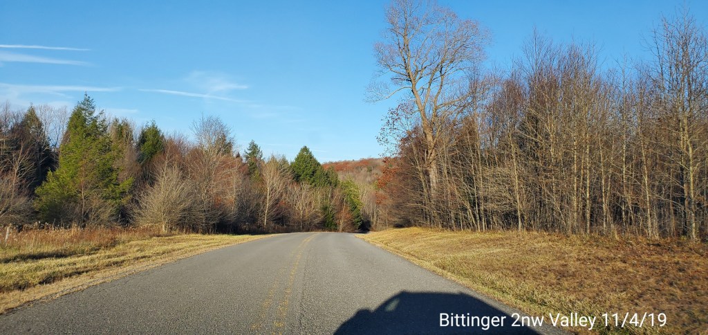
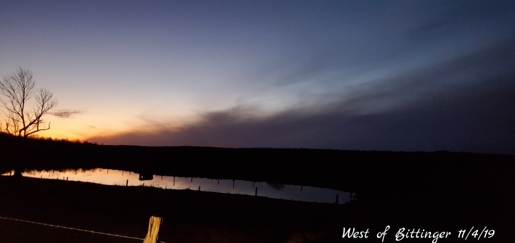
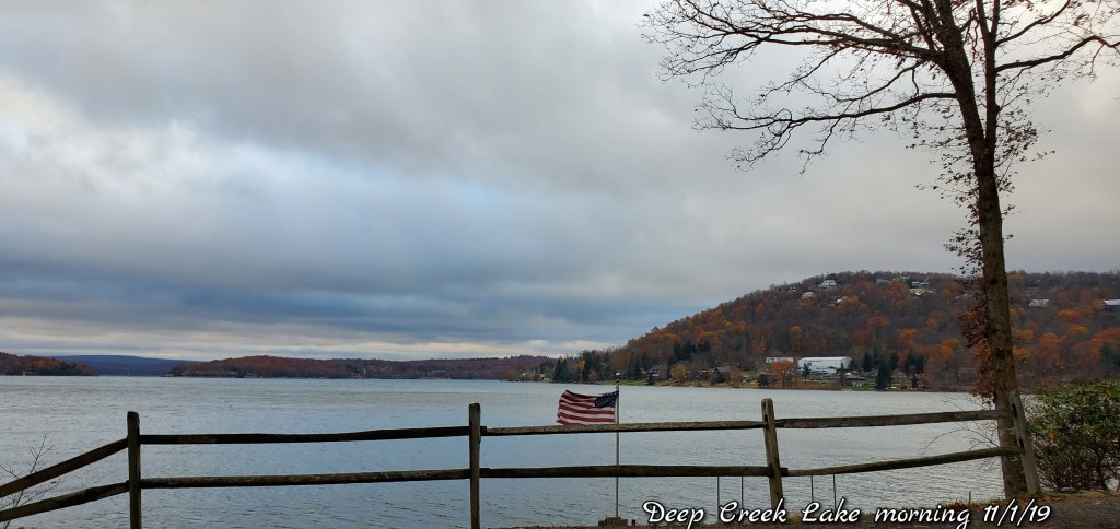
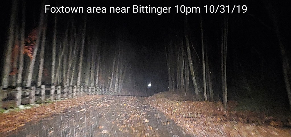
Around Bittinger to Deep Creek
Very frosty start…blue sky day
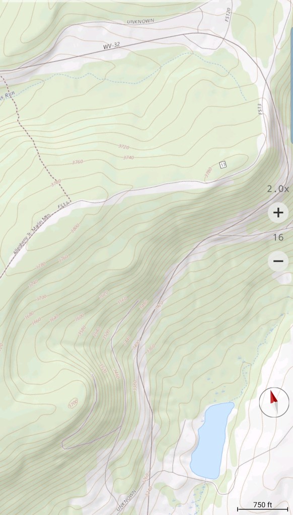
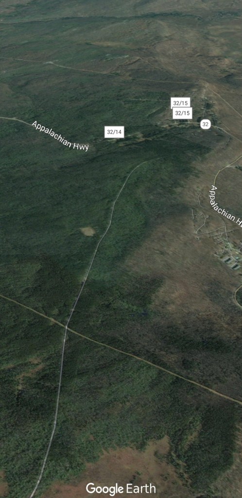
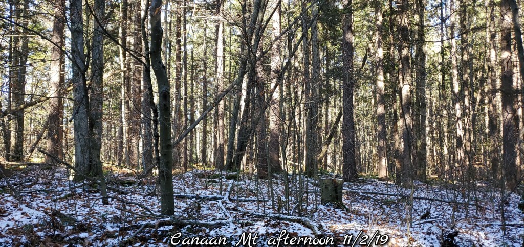
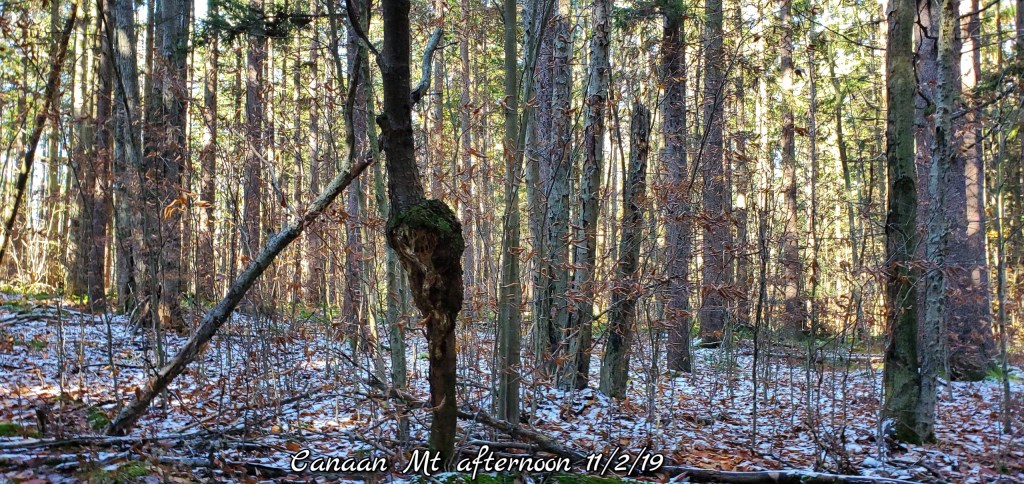
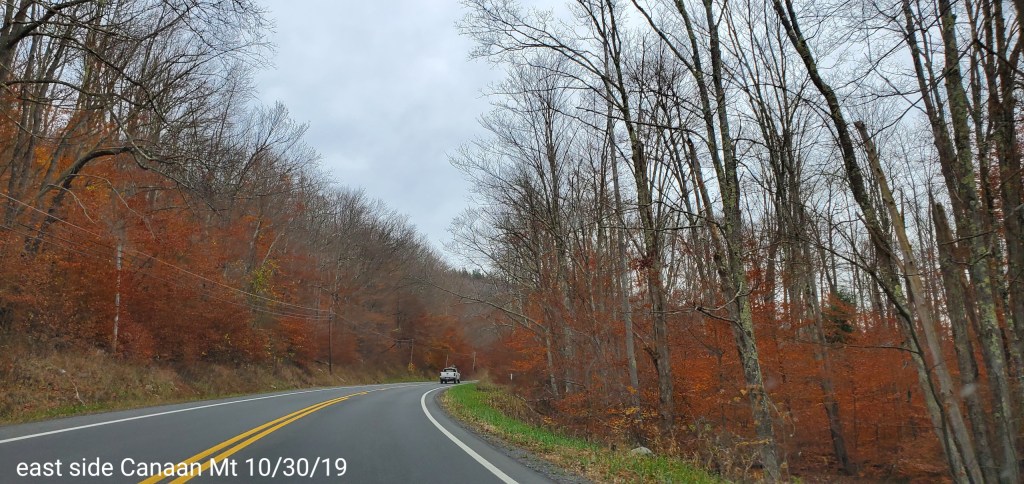
Canaan Mountain
coating of snow lingers all day in the shade
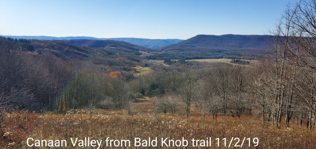
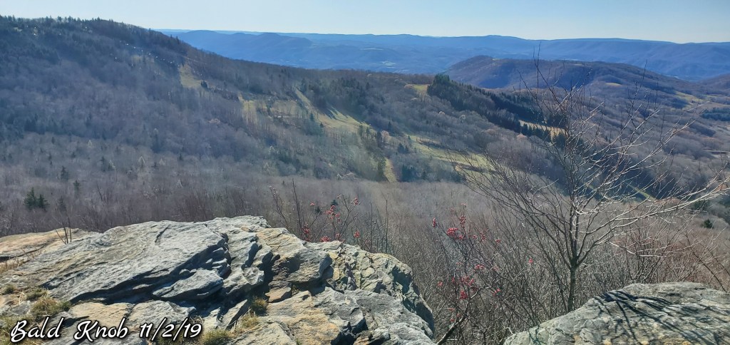
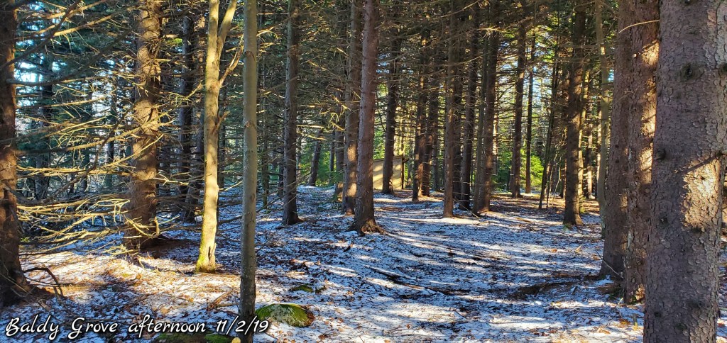
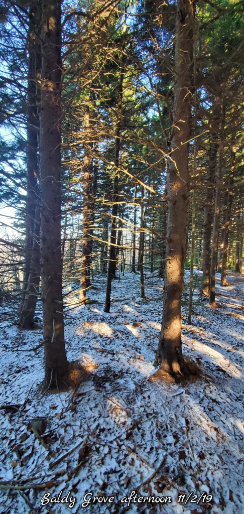
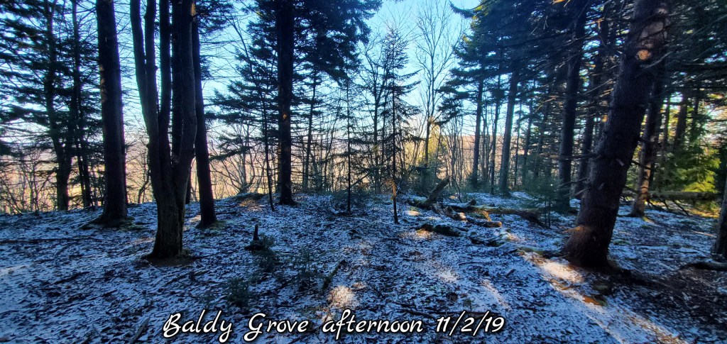
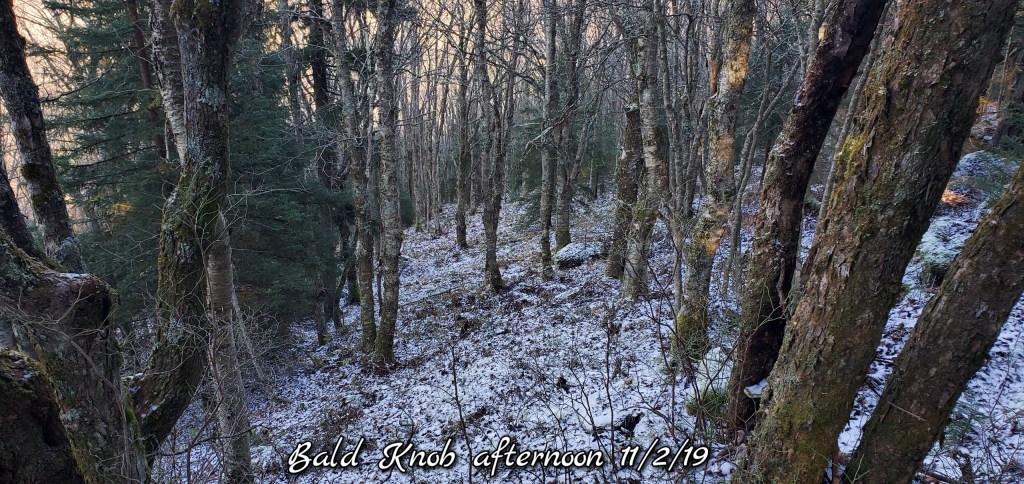
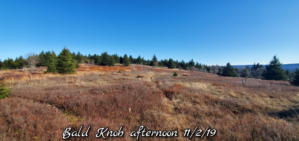
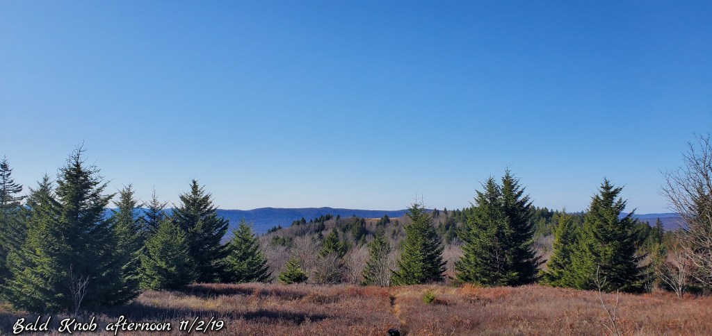
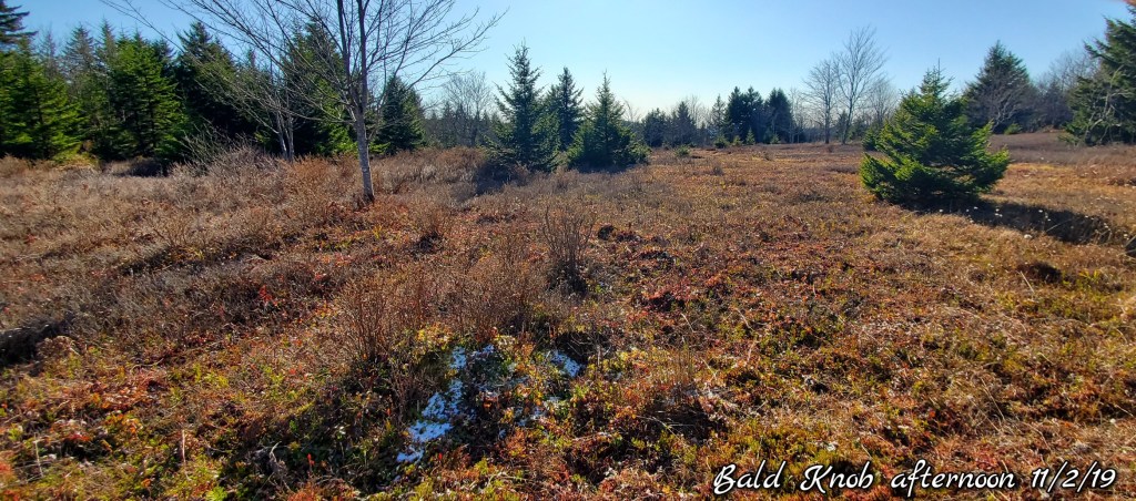
Up on ole Baldy
Same story, coating of snow holds in shady and north slopes. Courtesy of low dewpoints and low sun
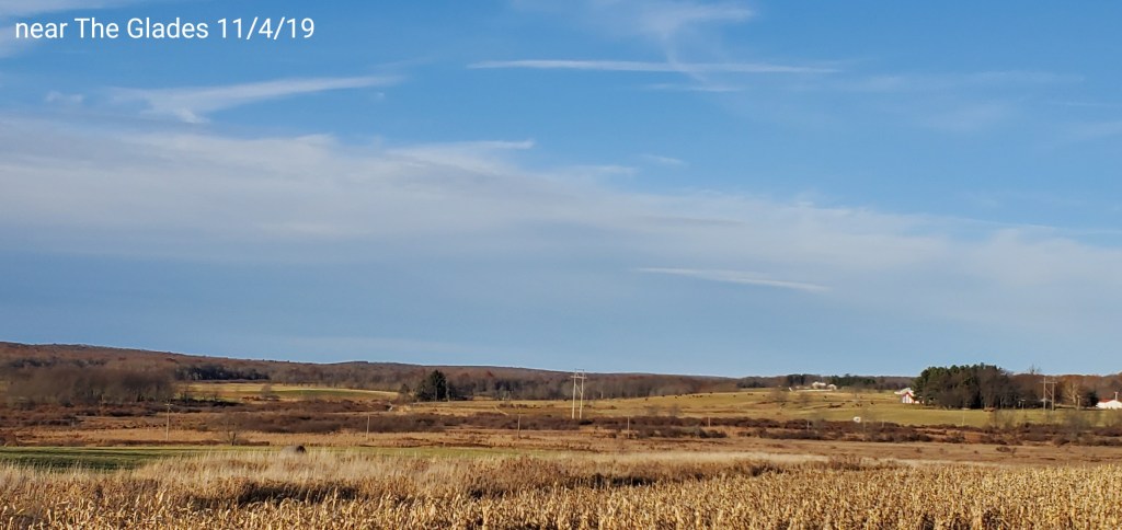
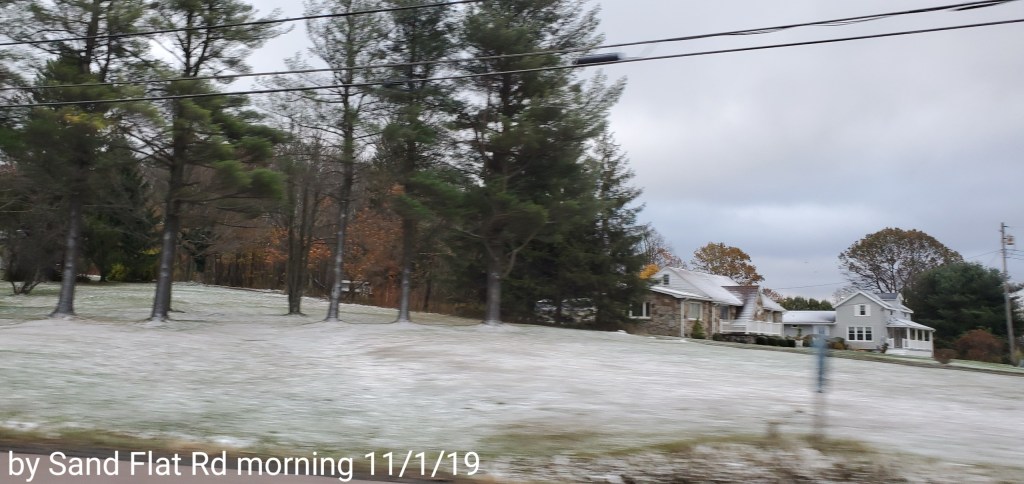
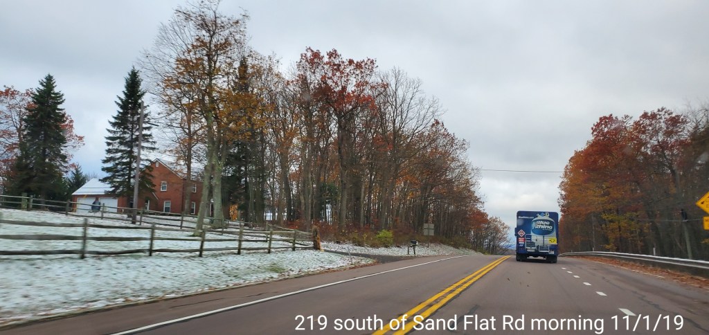
Some random morning snow showers, flurries. Some areas white, some not. Just how the random nature of the moderate pockets worked out. Windy overnight, dying off today but not before leaving many without electric.
Temps today
Radar
Satellite
Flow
Surface features and 500mb height anomalies and flow
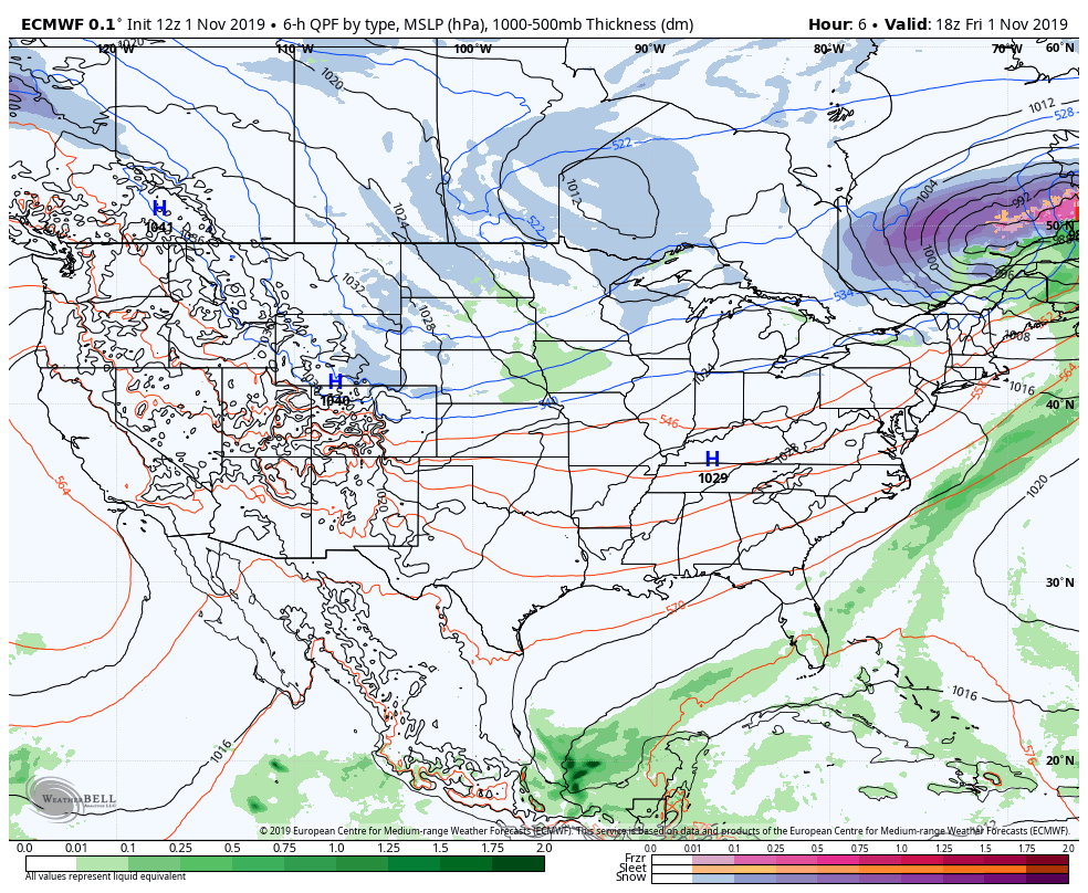
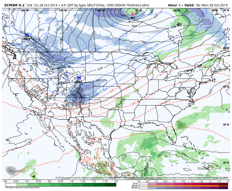
Cloudy, warm breezes, semi humid, scattered showers into early afternoon. Lots of severe weather watches(tornado watch)…but not much severe action other than gusty winds and heavy rain as the front neared and passed by. Strongest winds behind the front. Rain to snow early overnight
Temps today
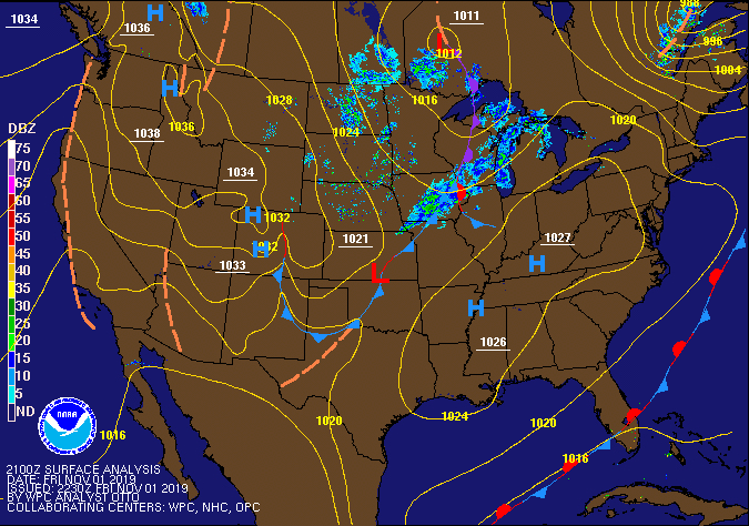
Radar
Satellite
Flow
Surface features and 500mb height anomalies and flow
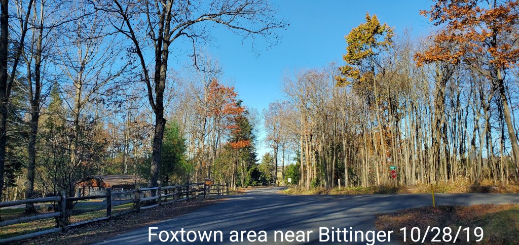
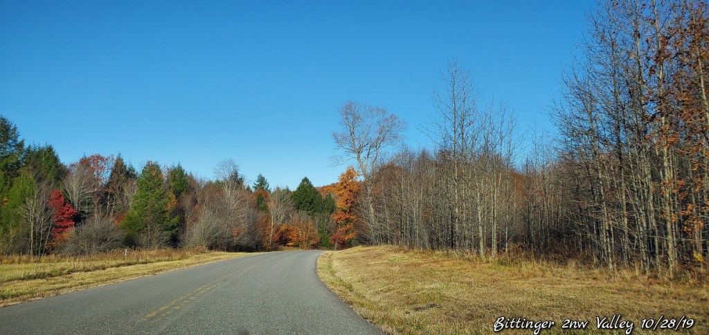
pics today-
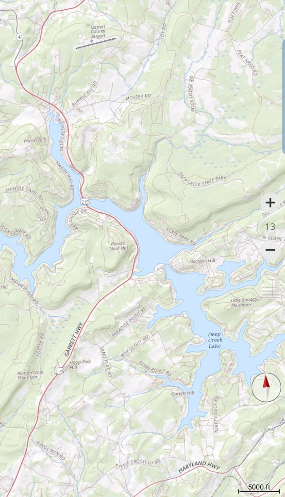
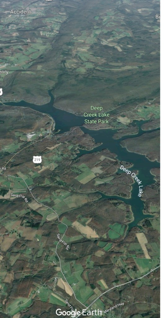
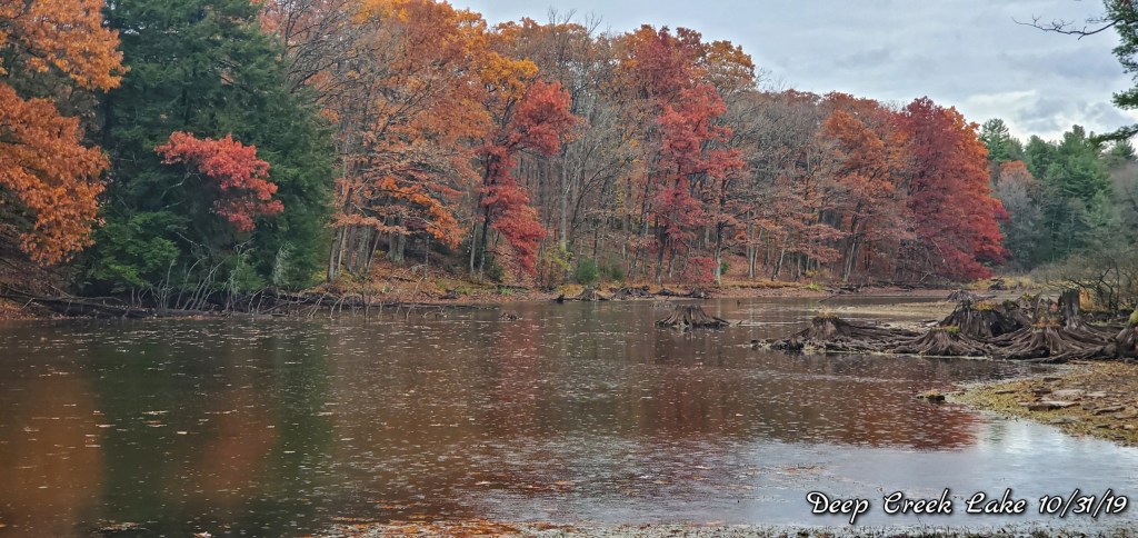
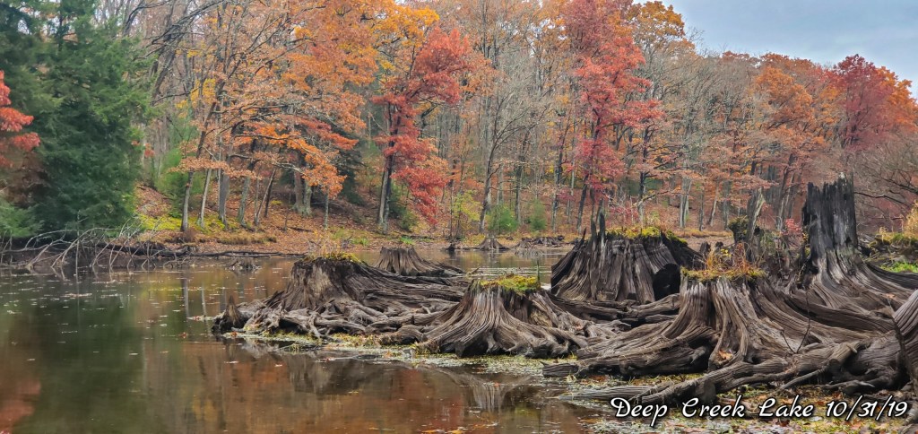
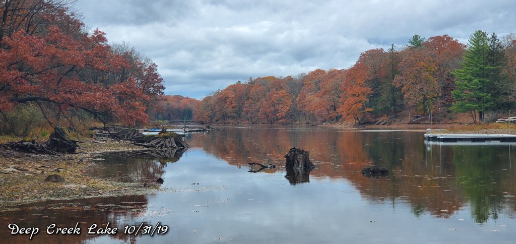
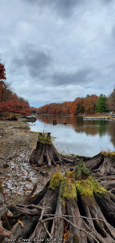
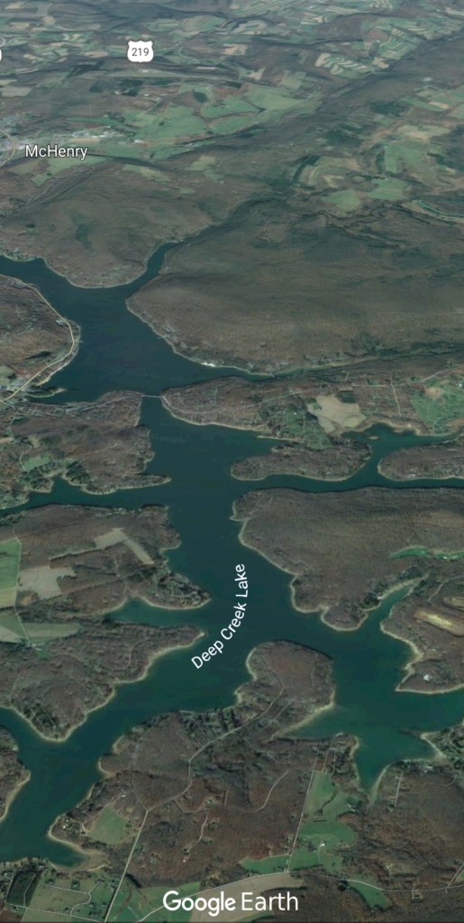
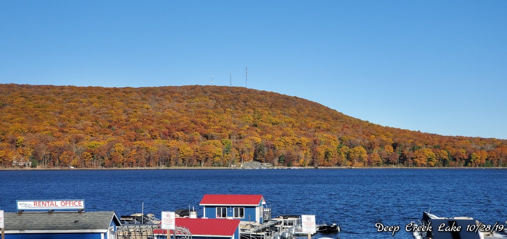
Deep Creek Lake
Few oak leaves giving a lasting touch if dull color as the foliage season really comes to a close. These cove contain the most foliage left in the area.
(Any out of towners viewing this, Abbots Bliss, a great place to stay!)
Cloudy, high ground fog on the east side of the Alleghenies, some morning valley fog in the central and western Alleghenies. Little early drizzle, some afternoon light showers that increased later on.
Temps today
Radar
Satellite
Flow
Surface features and 500mb height anomalies and flow
Pics today-
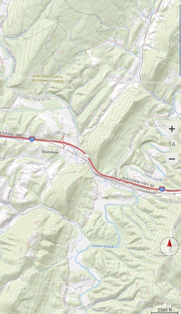
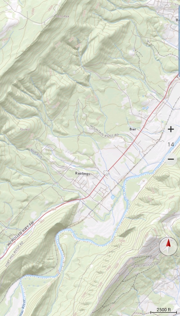
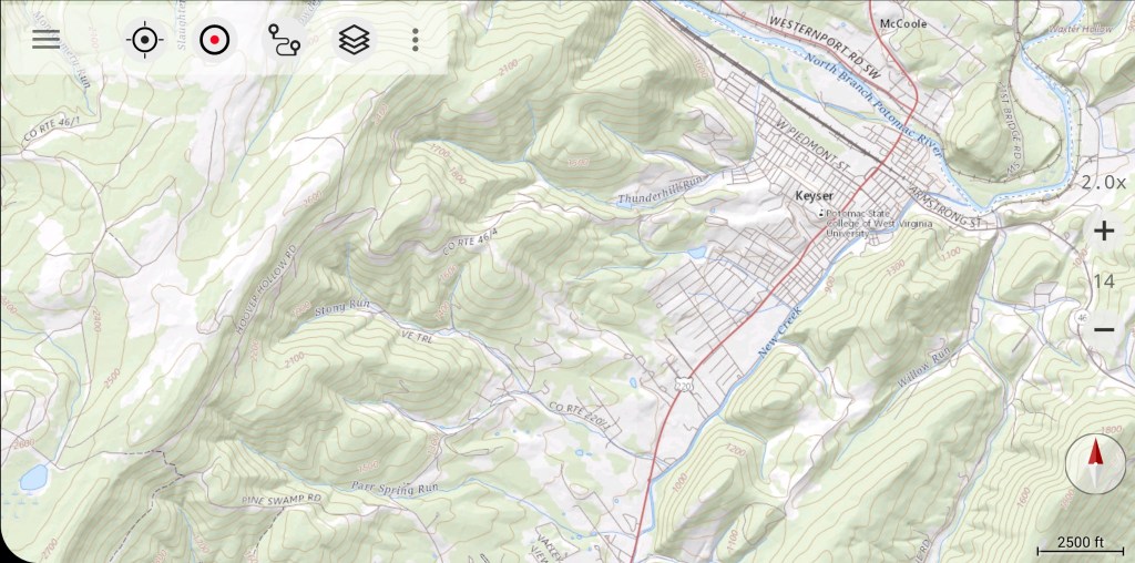
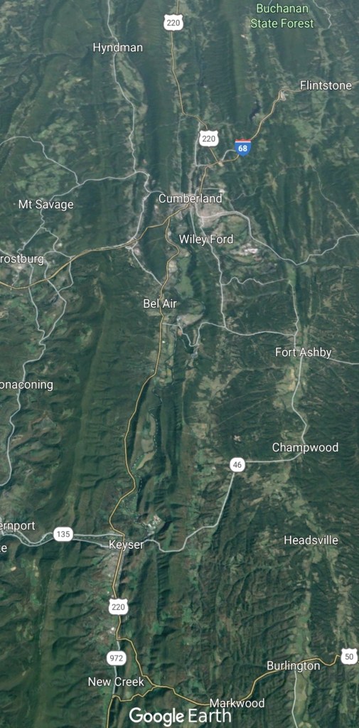
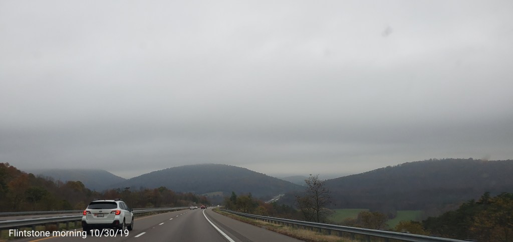
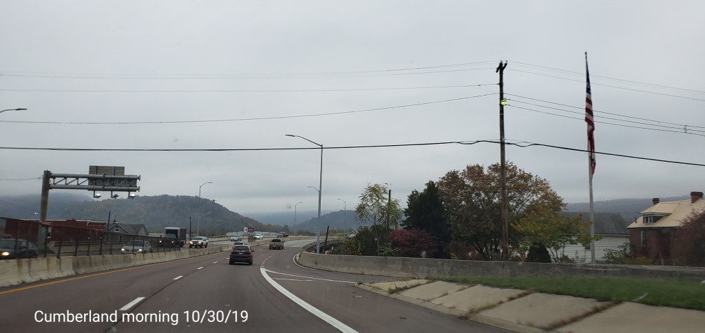
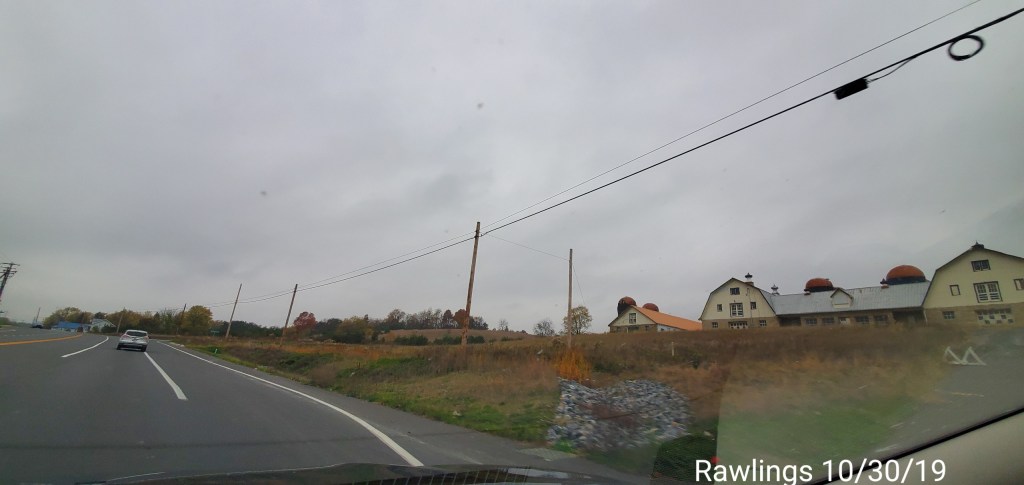
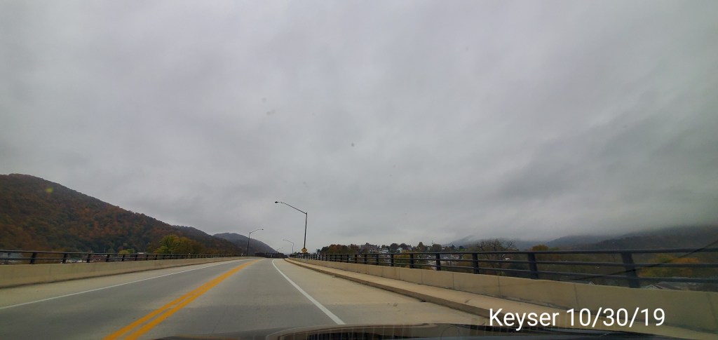
Flintstone-Cumberland-Rawlings-Keyser
Still some foliage left on this side of the mountains Also, this area from the Allegheny Front and east had hill top fog with a low ceiling through the area.
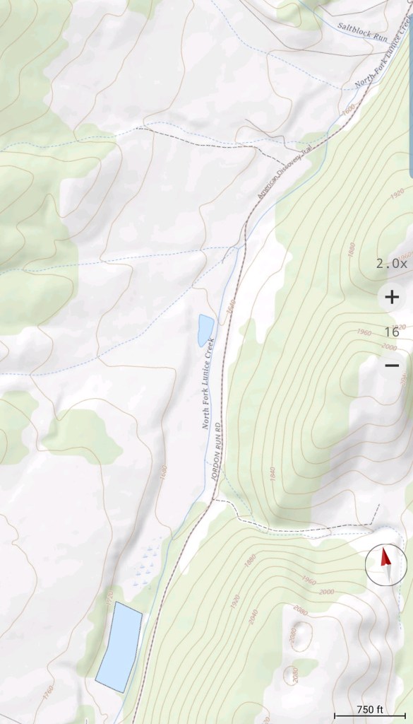
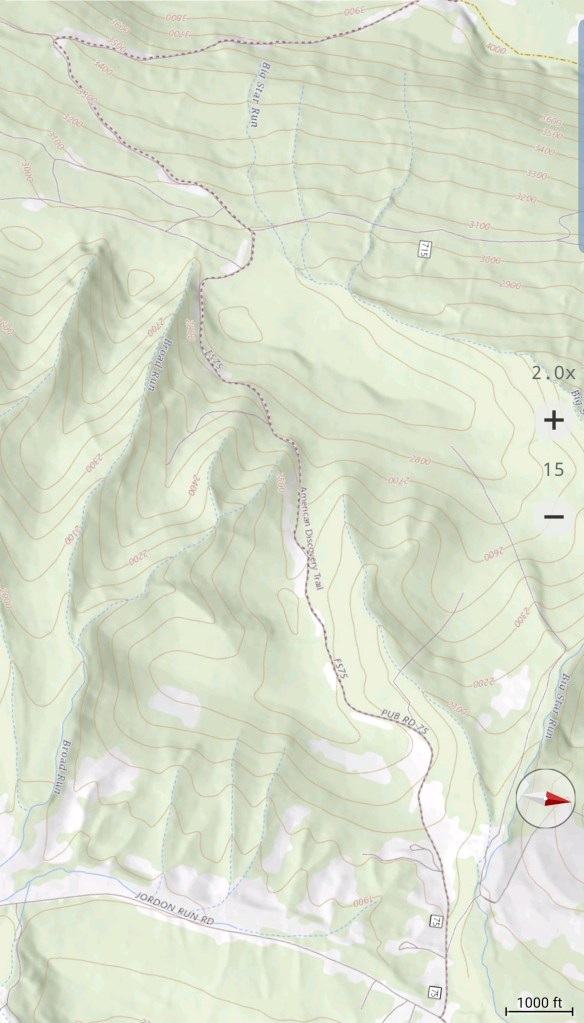
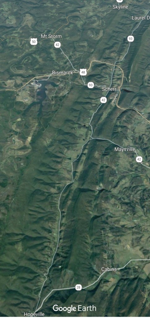
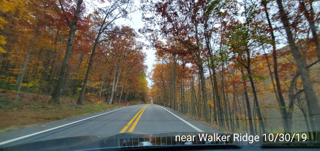
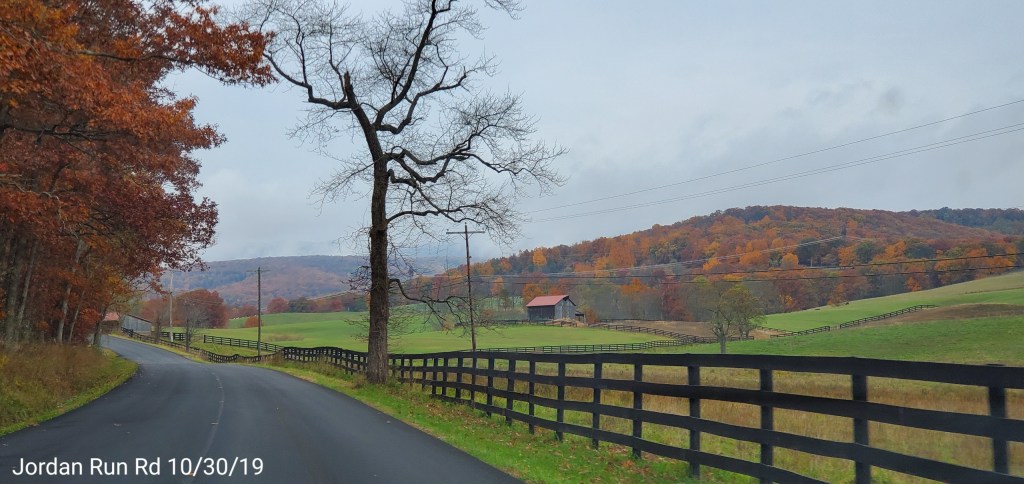
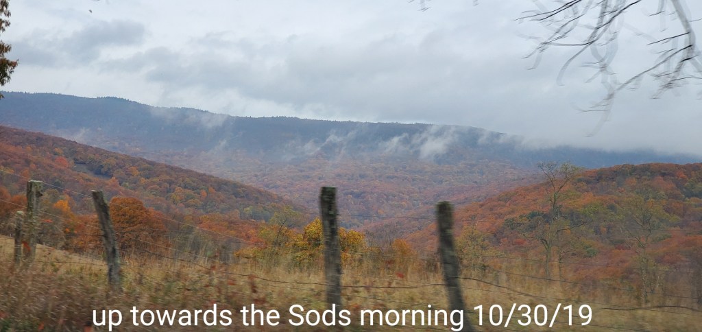
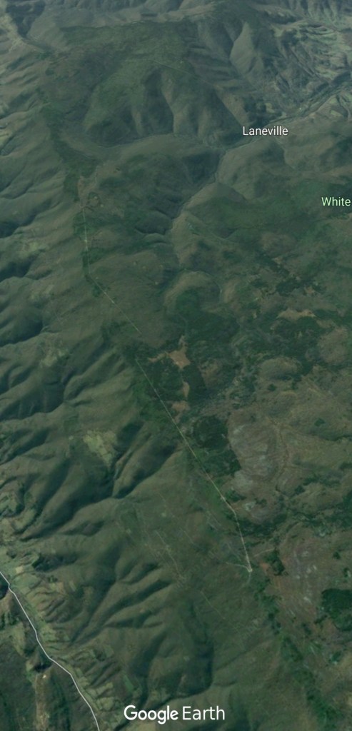
Walker Ridge to Jordan Run and the east side of the Sods
Still overall a lot of foliage left through this area. Its not until you are almost to Bear Rocks before all the trees are defoliated. .
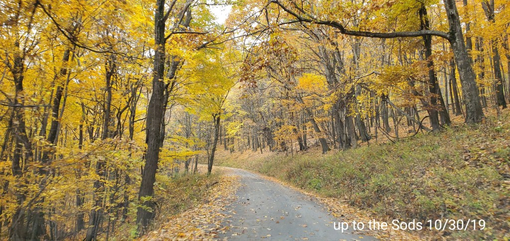
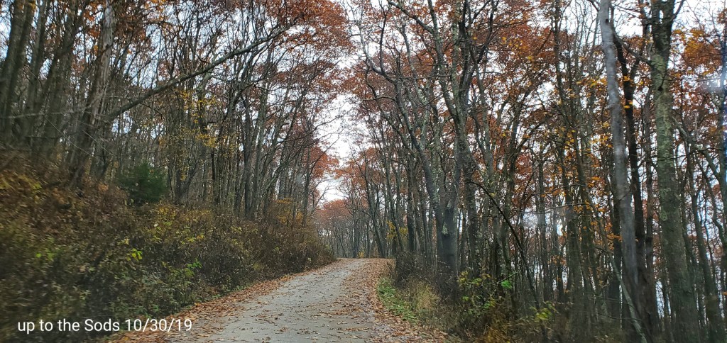
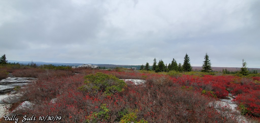
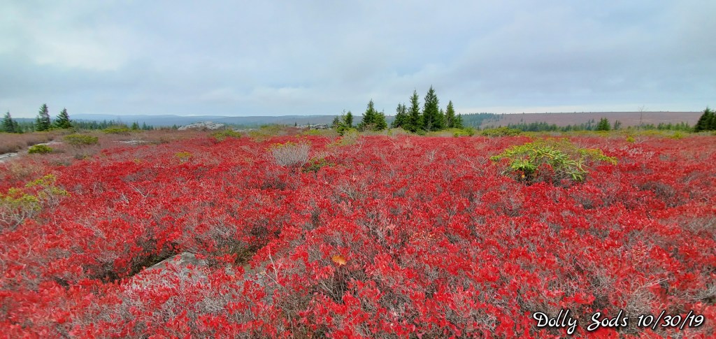
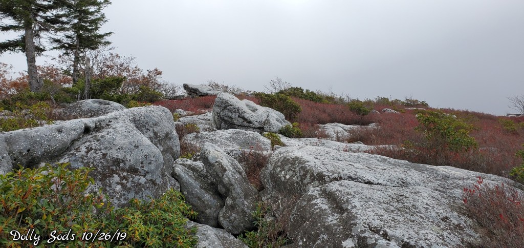
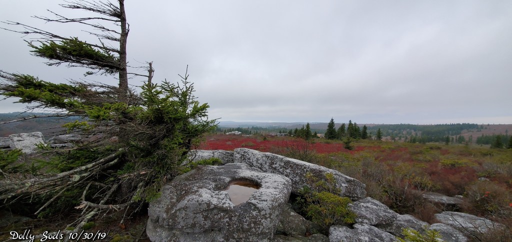
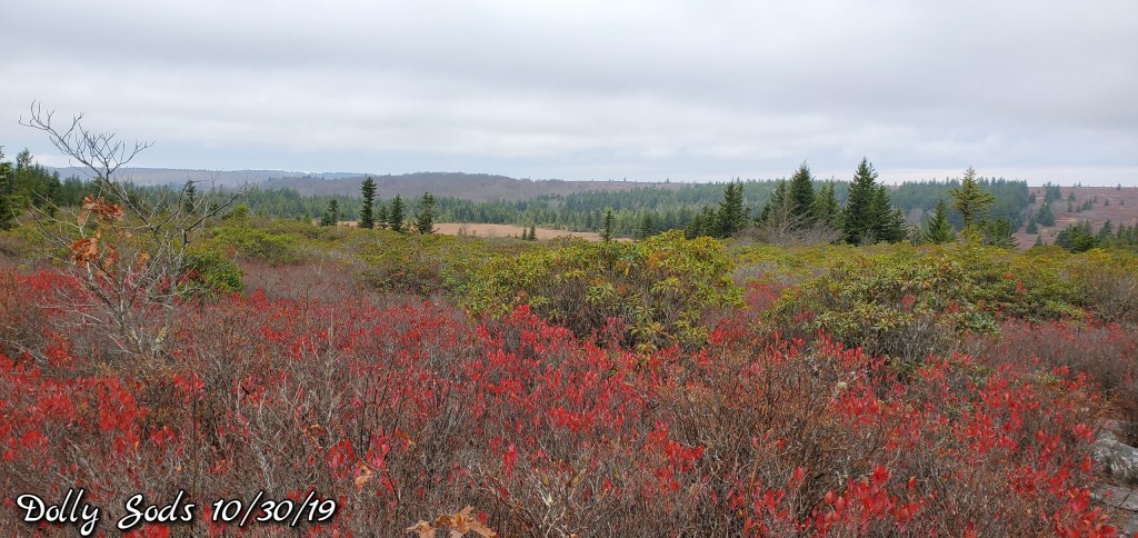
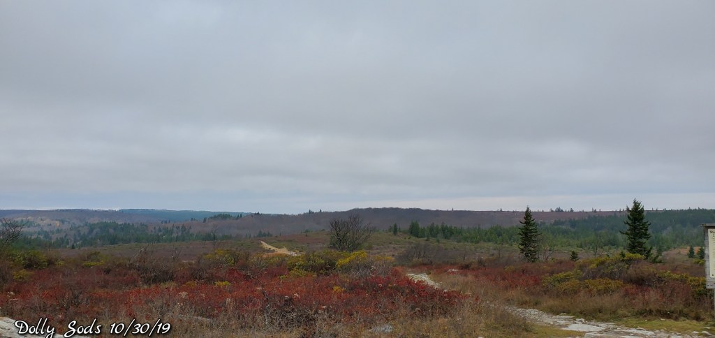
Across the Sods and down…
Foliage is 90%+ gone from the Sods, except for beech which linger all winter and some yellow look as on Aspen. Sone oak lower mainly…The lone red patch which I detailed on October 26th, still has some nice reds, but less than 4 days ago.
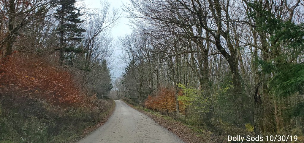
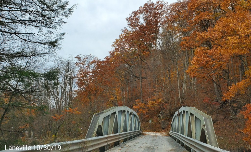
Through Canaan..
Foliage story the same here, undergrowth beech holding on and some aspen. Remember no oaks in Canaan(besides a handful literally). 95% bare
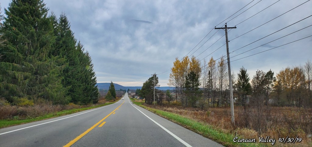
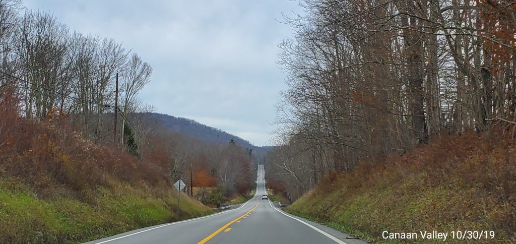
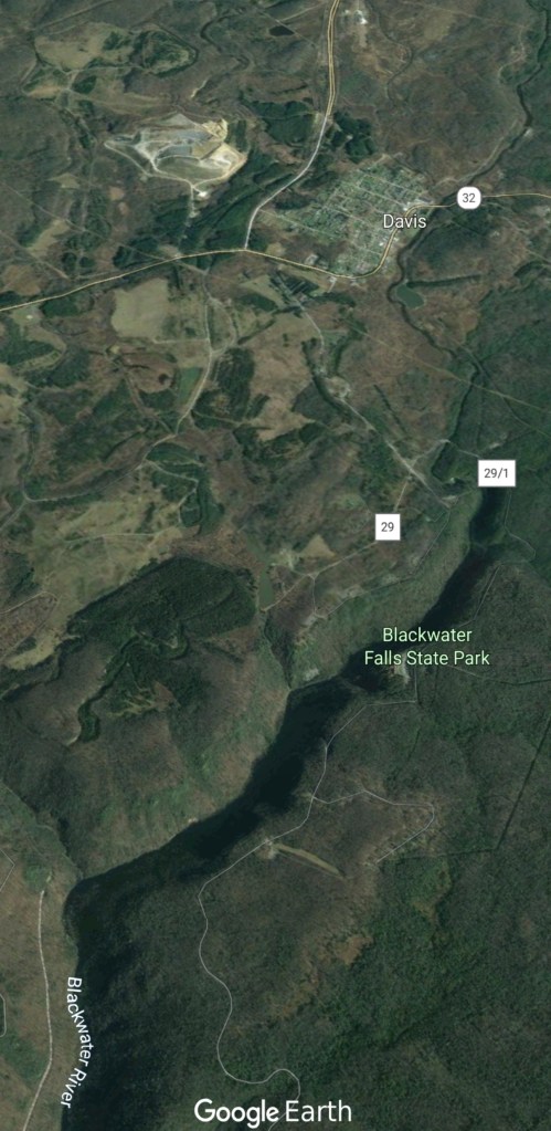
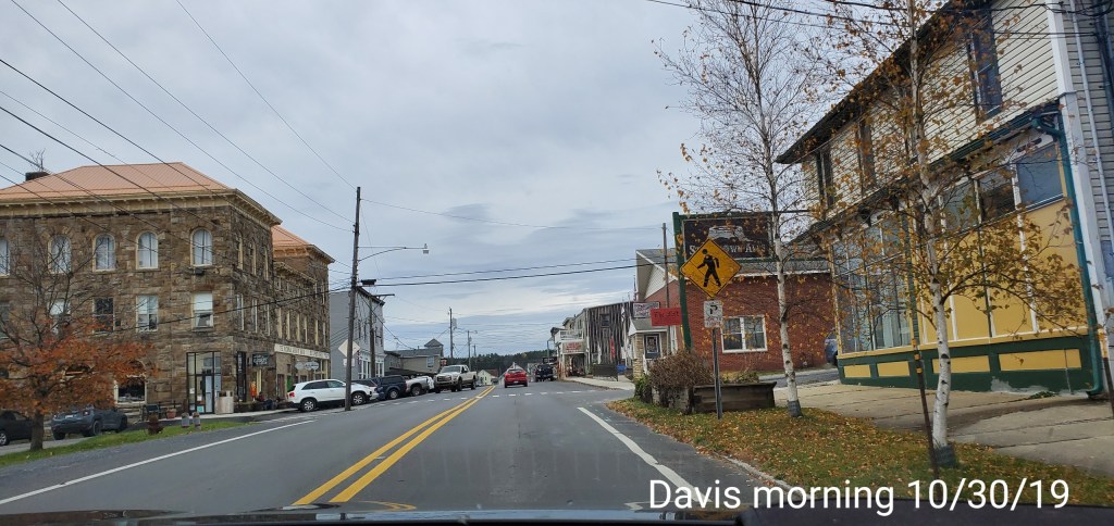
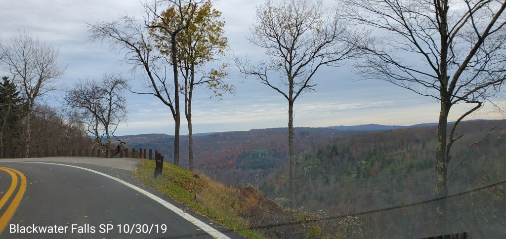
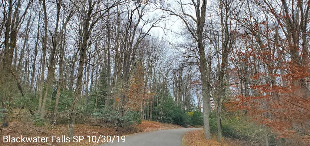
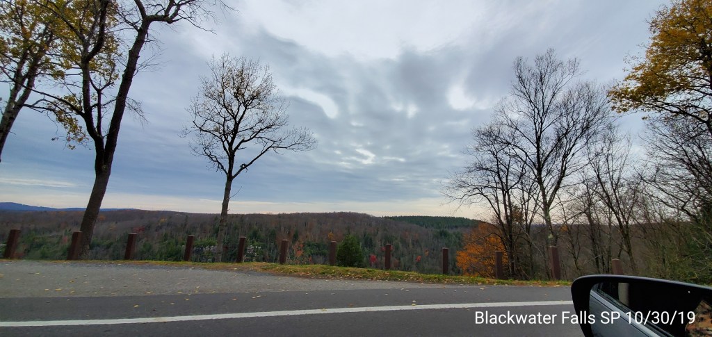
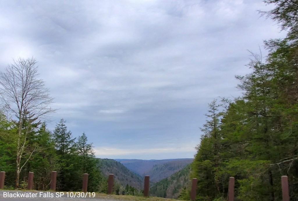
Davis to Blackwater Falls State Park
Foliage is pretty well gone here now as well….
Blackwater Falls at 75cfs noon 10/30/19
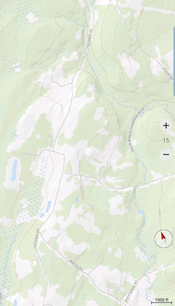
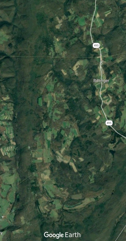
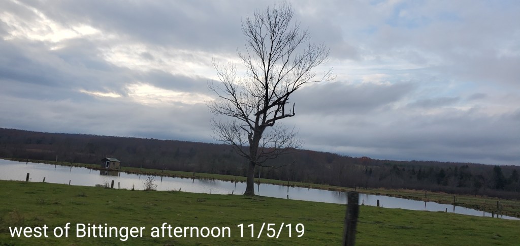
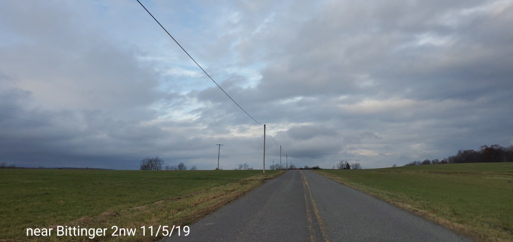
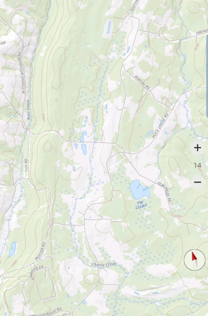
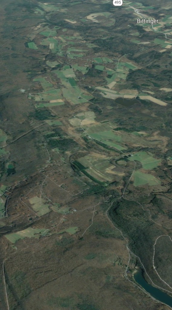
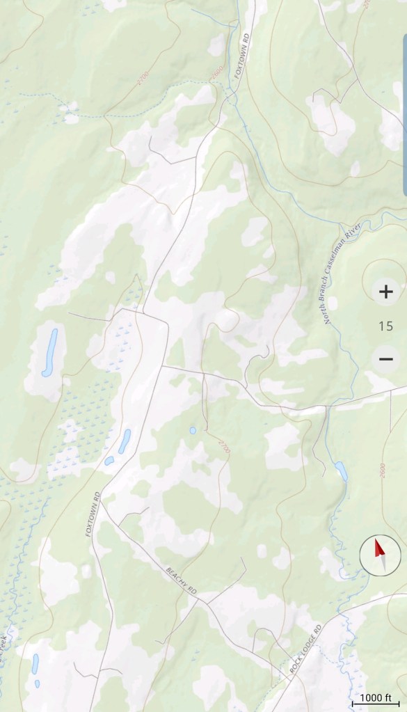
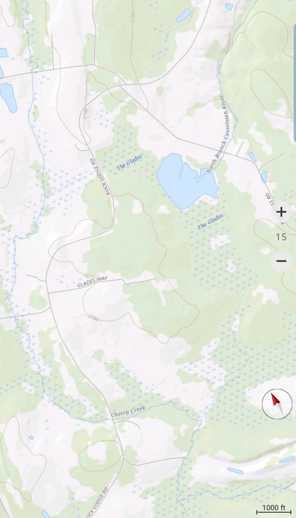
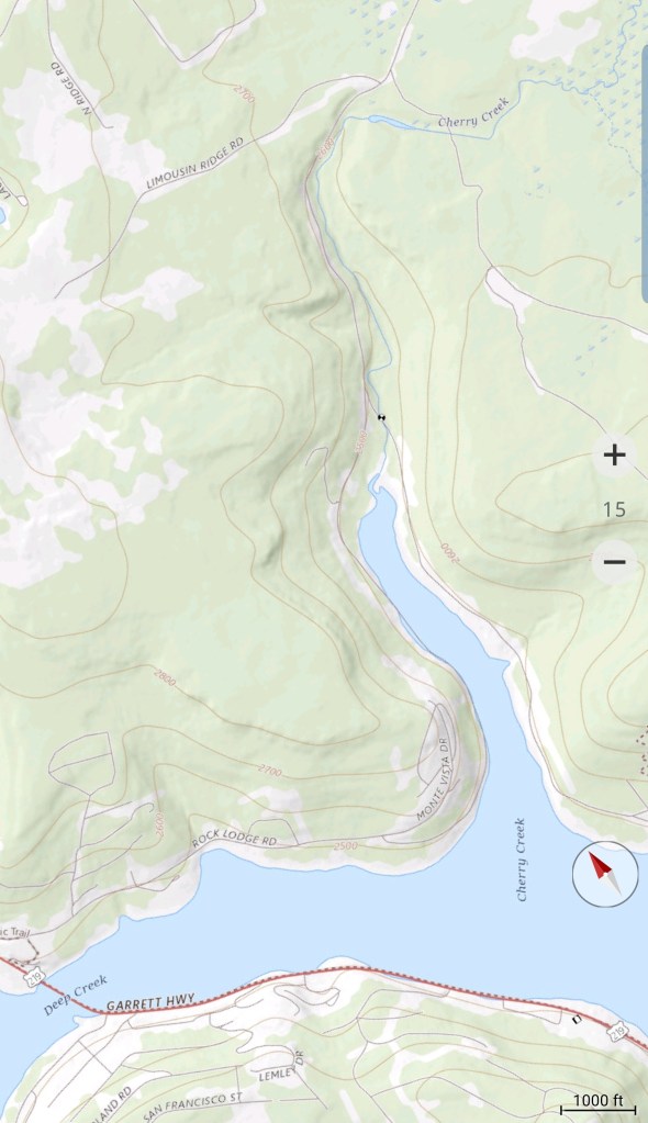
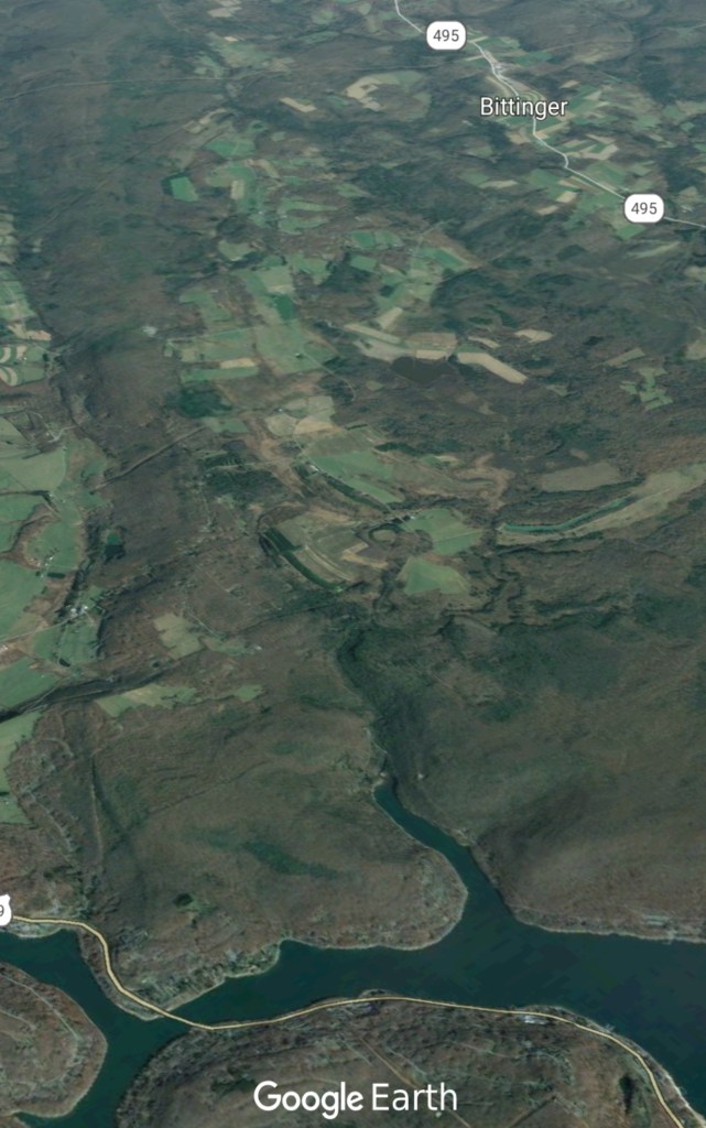
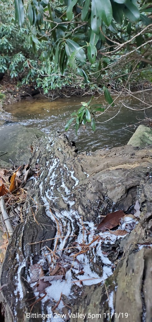
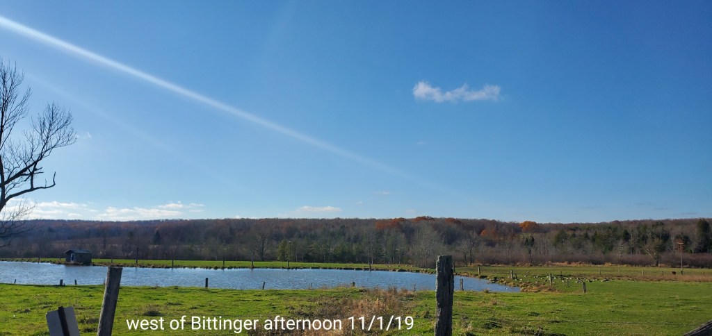
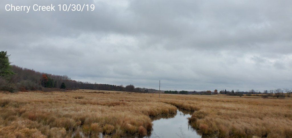
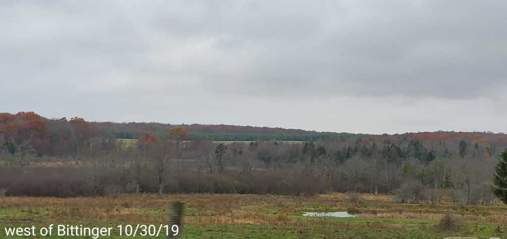
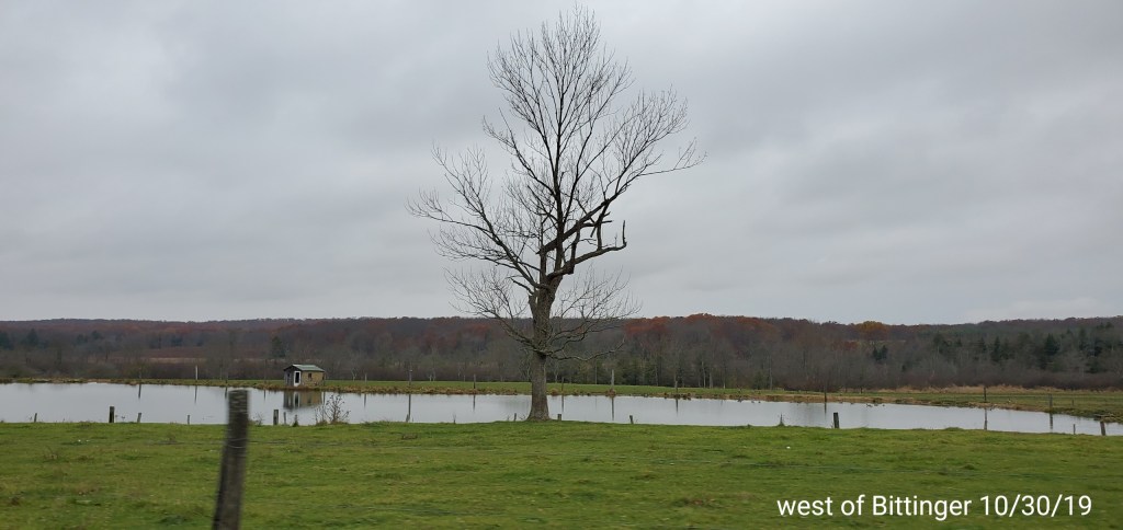
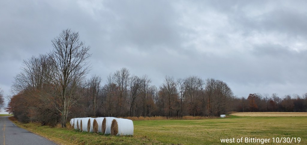
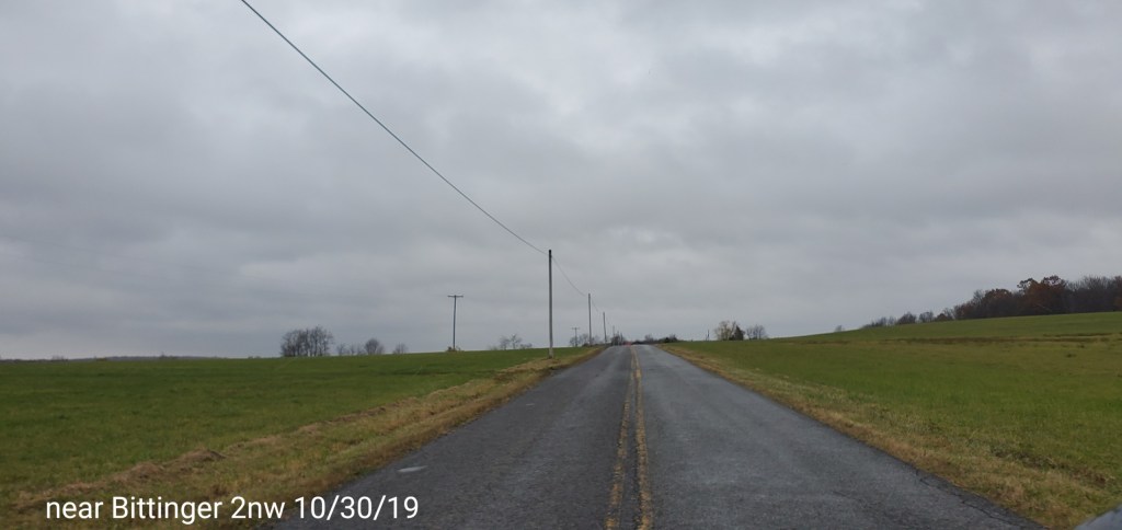
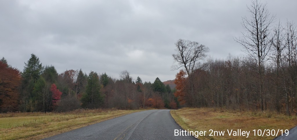
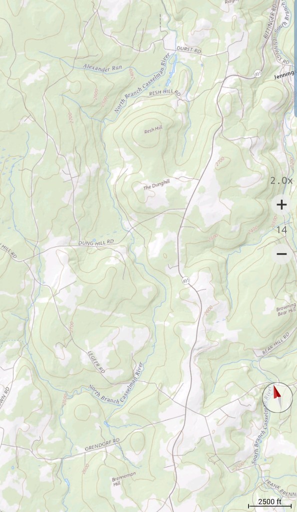
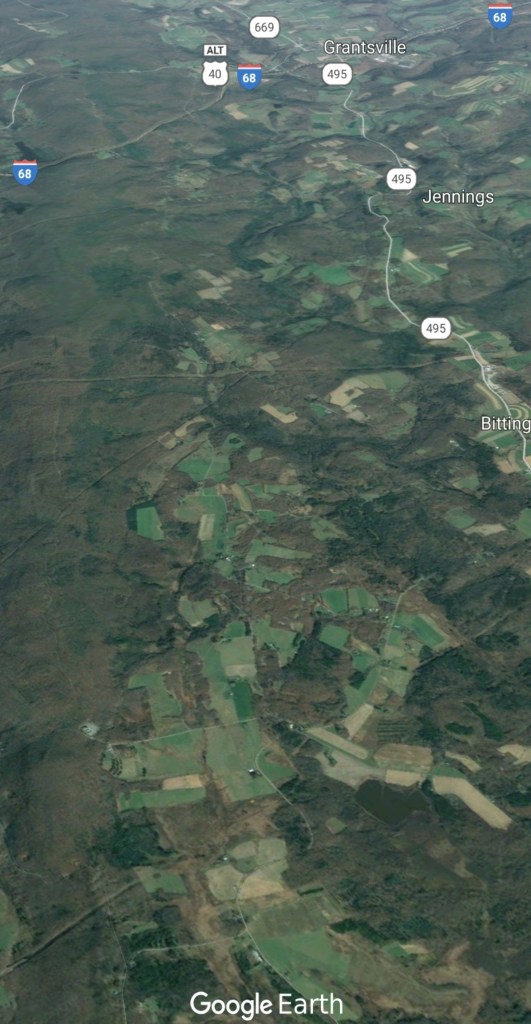
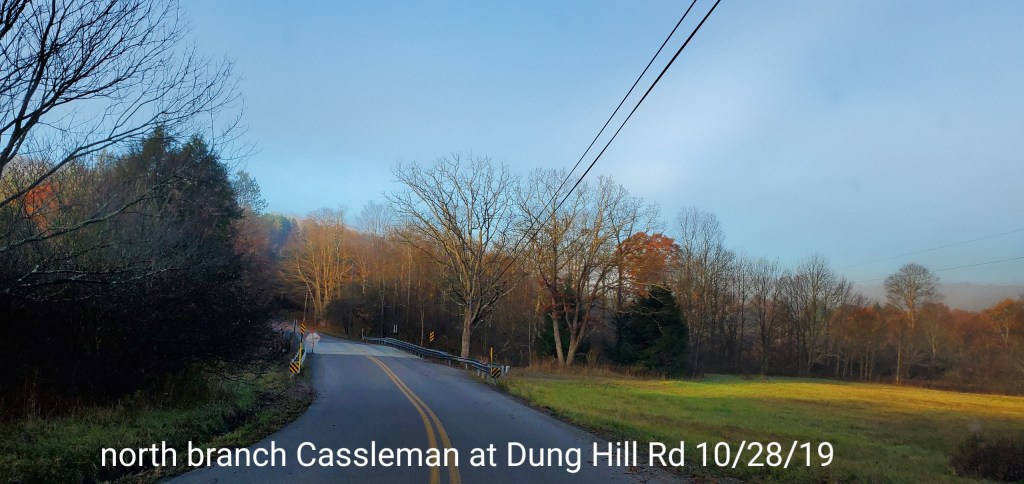
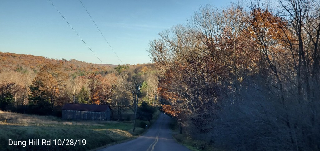
Back to the Bittinger area
Foliage besides oak and undergrowth beech, pretty well done here as well. Hopefully everyone disregards the maps that shows the area is currently in peak fall foliage. If you are expecting that, plan to look at your feet.
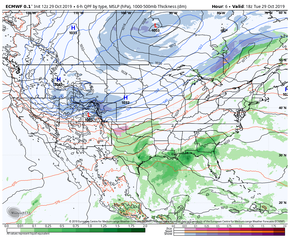
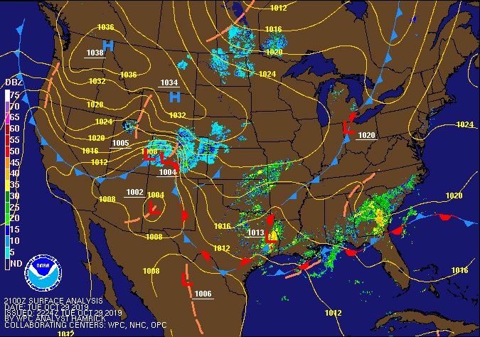
Surface features and 500mb height anomalies and flow
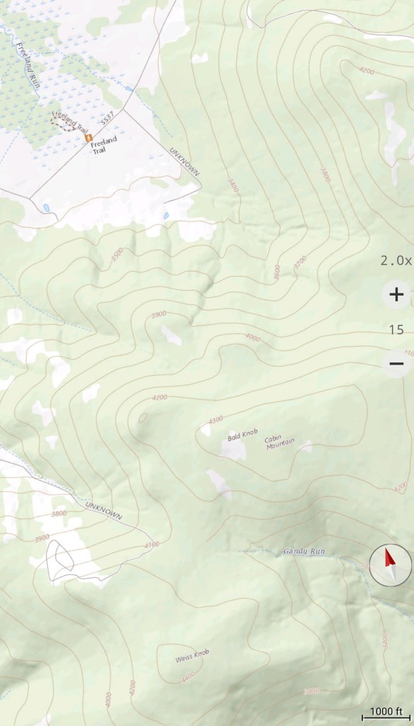
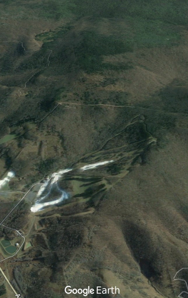
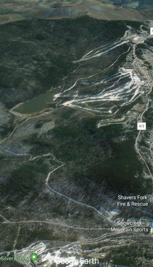
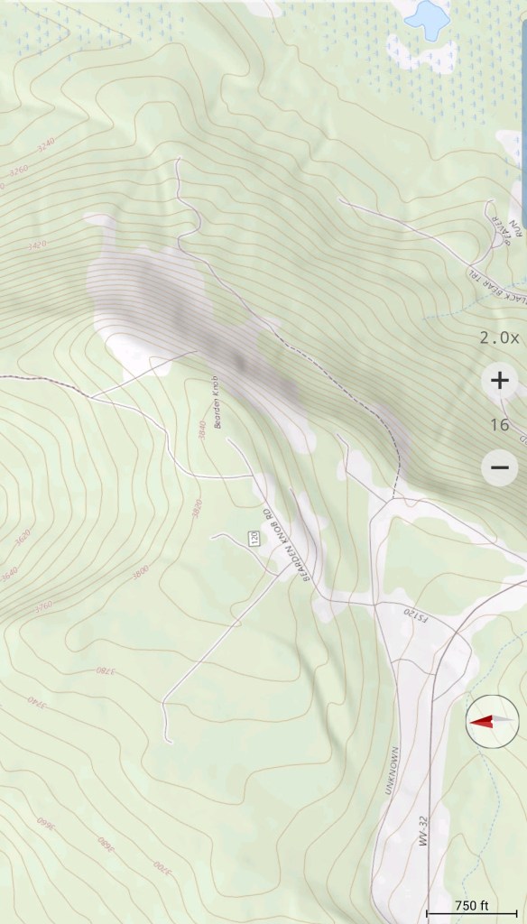
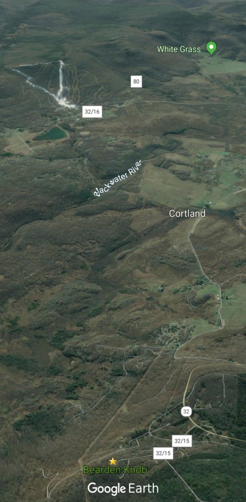
Wheres the cam???
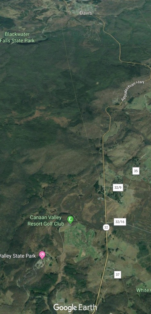
Without pics to add in this section, I’ll fill it in with a cam location detail. The Canaan Cam as I refer to it as, technically a forest service cam listed as the Dolly Sods cam. It covers a view of western Cabin Mt in the distance and that’s the only relation to Dolly Sods for this cam. It offers a great view of Canaan Valley from Bearden Knob just over 3800′
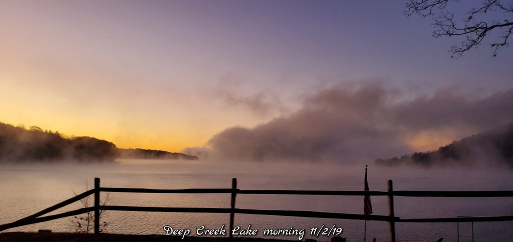
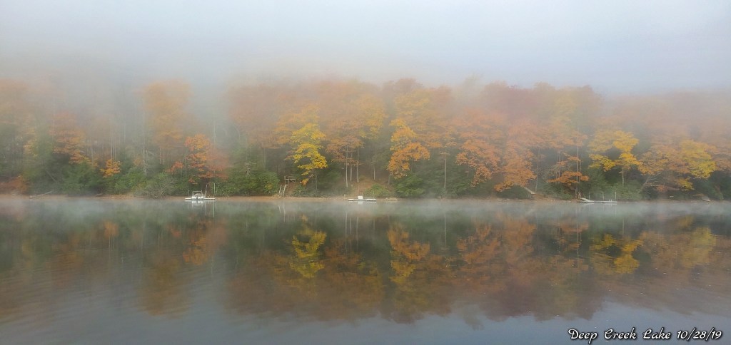
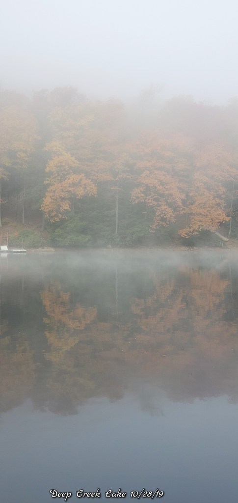
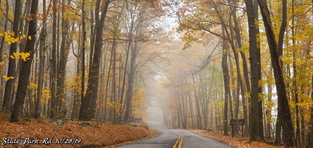
Valley fog to begin the day, pockets of valley frost. Mainly the high valley’s where the fog was not socked in as heavily. A partly sunny, very pleasant day.
Temps today
Radar void
Satellite
Flow
Surface features and 500mb height anomalies and flow
Pics today-
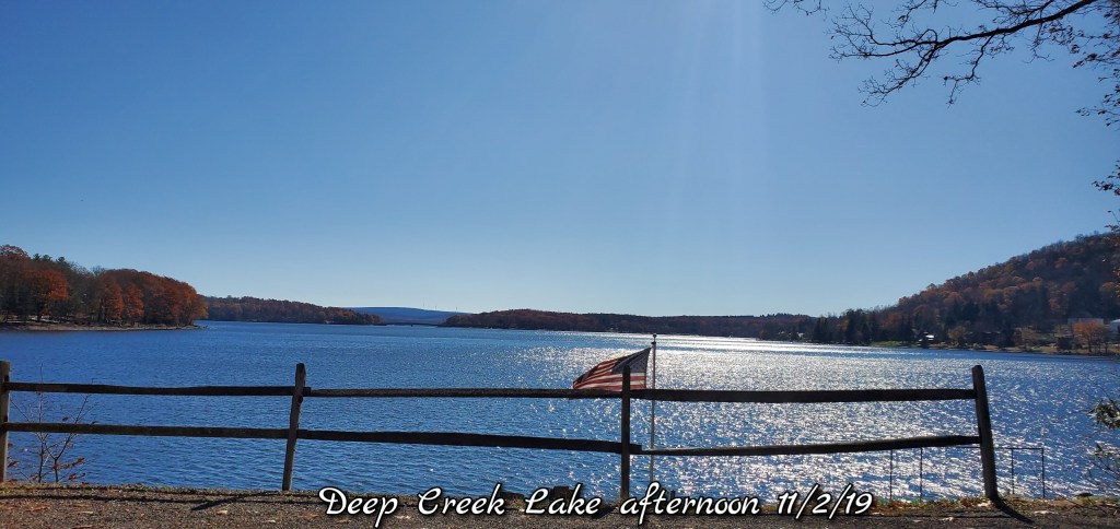
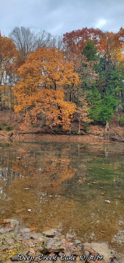
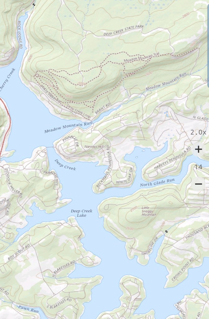
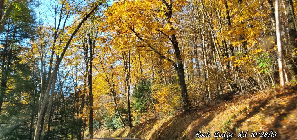
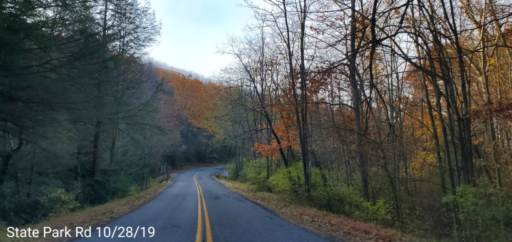
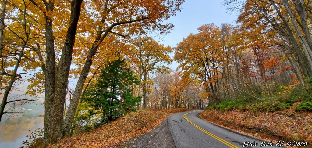
Deep Creek Lake area
Fog had the lake socked in to start the day. That helped create some cool scenes with the fall foliage that remains around the lake. Mainly dominated by oak foliage at this point with some undergrowth beech that holds foliage into the winter. The red oaks currently, and surprisingly have some bright golden foliage in spots. Typically, at least in my opinion, they are usually blah, dull and to brown. This year has turned exceptional for some of them.
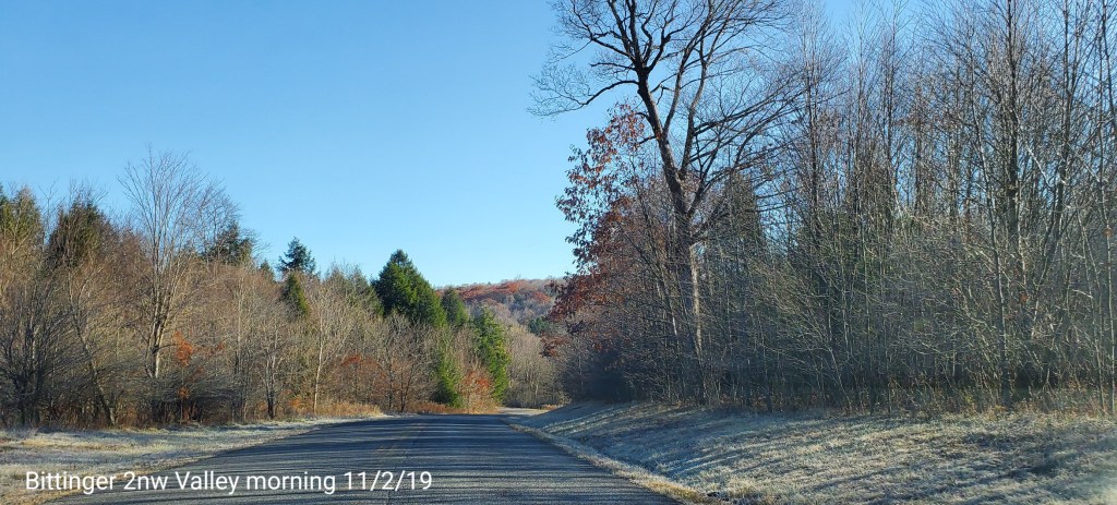
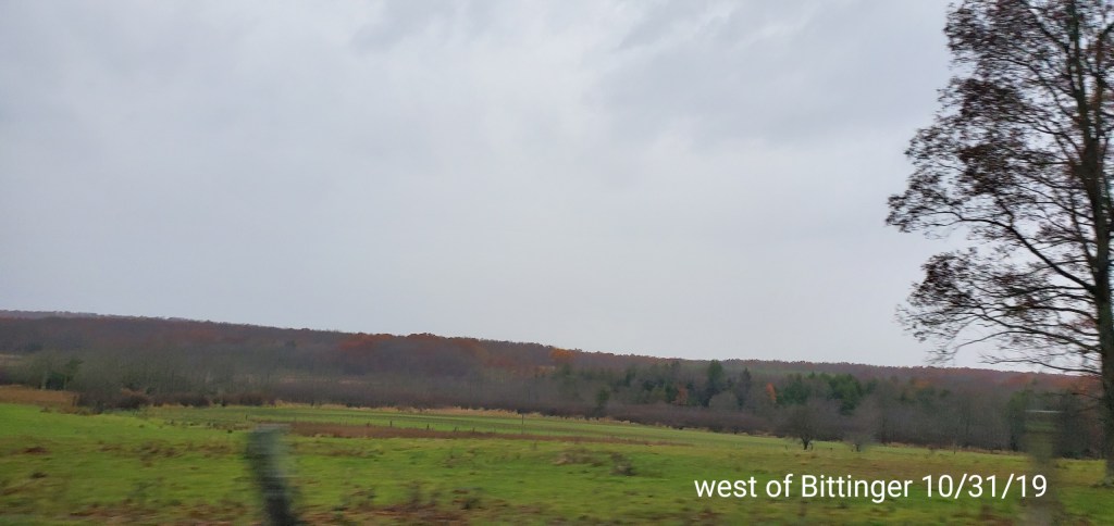
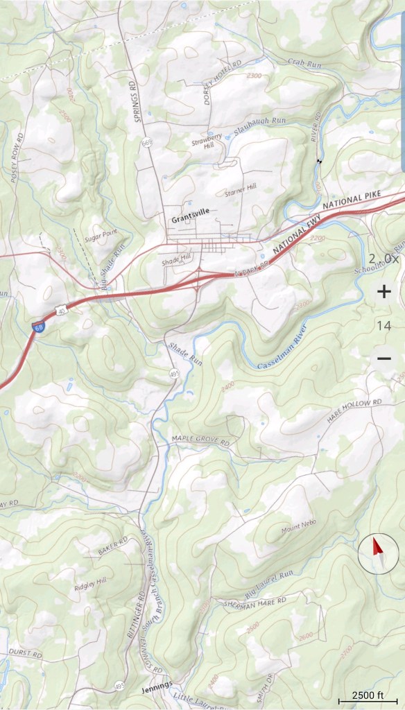
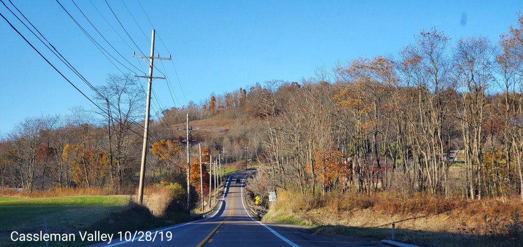
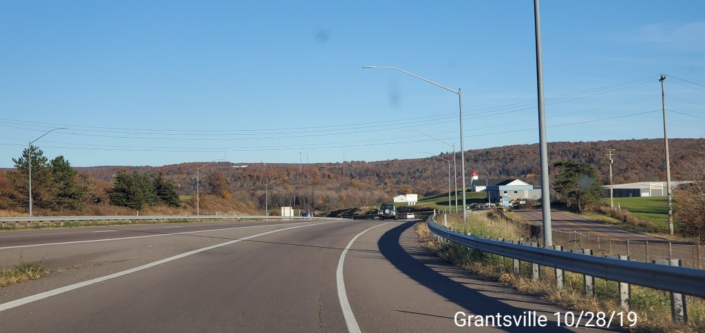
Bittinger area to Grantsville
The main foliage left is oak. It’s not nearly as dominant in this area as around the lake, therefore the appearance is now a much more bare look as the rains of yesterday brought down a lot more foliage. Still undergrowth beech, birch is pretty well bare, maples too, some yellowish brown hickory, burgundy white oak and some again, surprisingly golden colored red oaks.
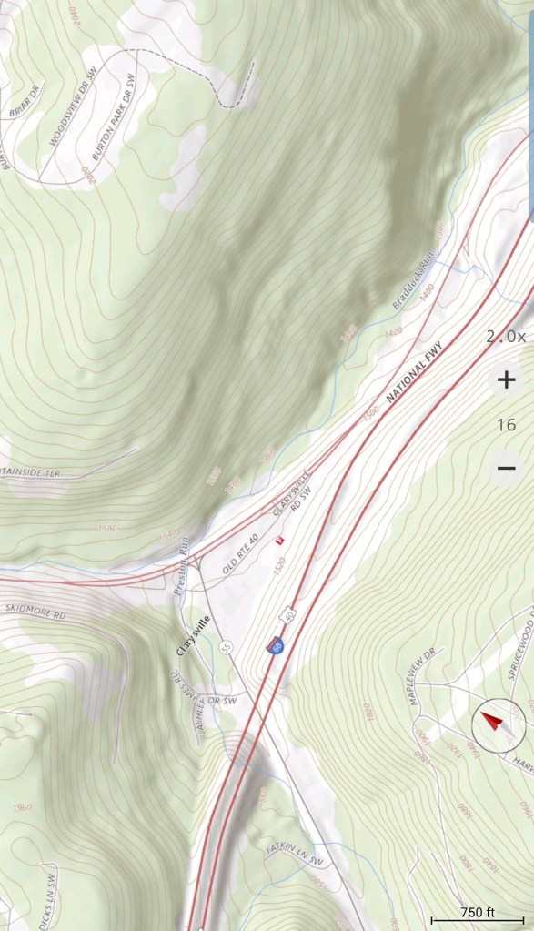
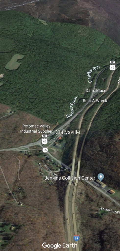
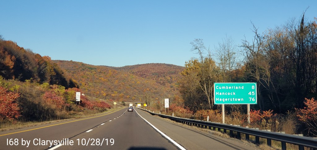
By Clarysville on I68
Still ok foliage, but vs last week, the rain brought a lot down
Overnight rain, moving out around dawn,,clouds linger early, break and give way to sun
Temps today
Radar
Satellite
Flow
Surface features and 500mb height anomalies and flow
Pics today-
Pics today come from an area east of the Alleghenies. Near the eastern Fulton County Pa area and western Franklin County
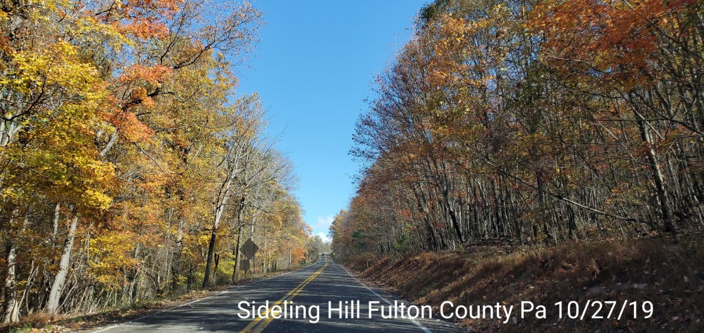
Sideling Hill in Pa, Fulton County
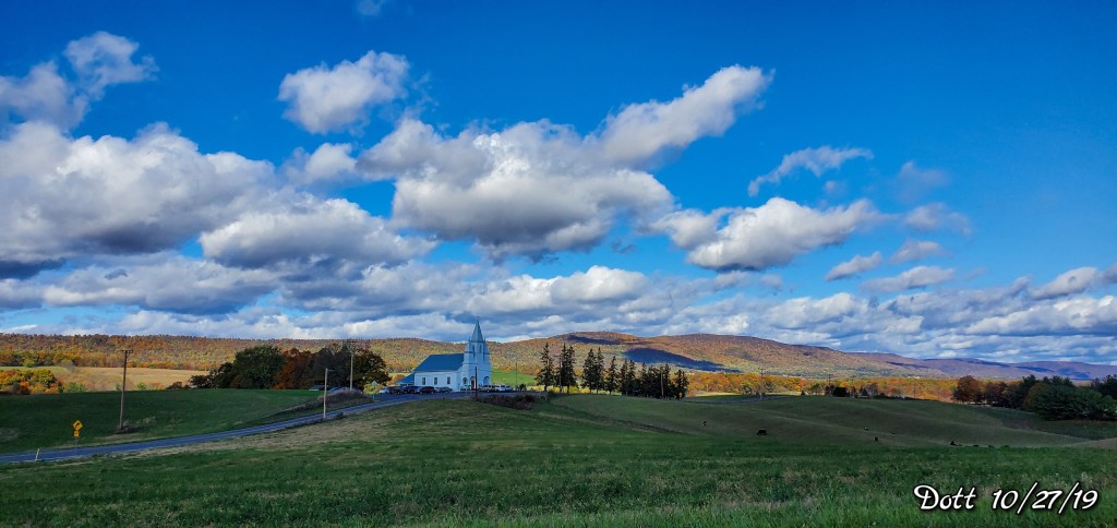
The town of Dott
A picturesque small town, rolling farmland, with Sideling Hill as the backdrop
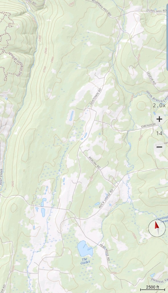
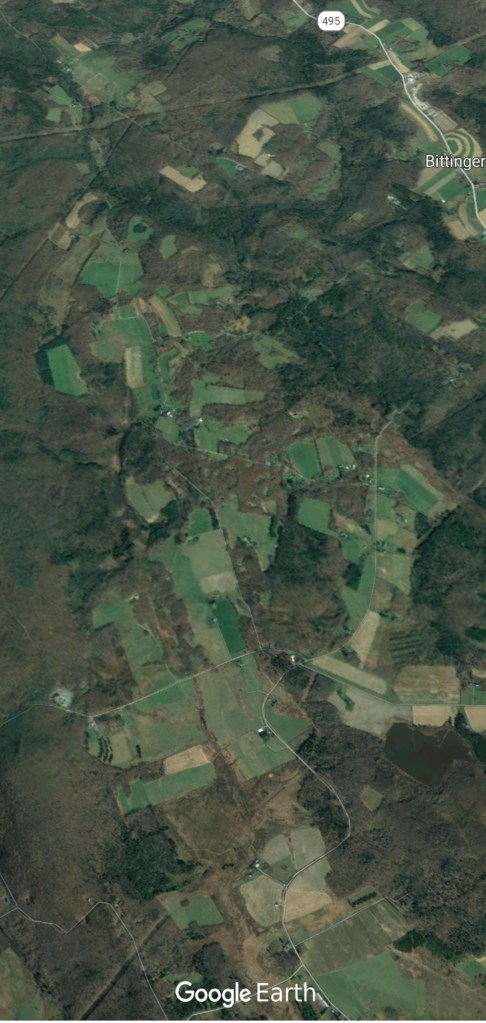
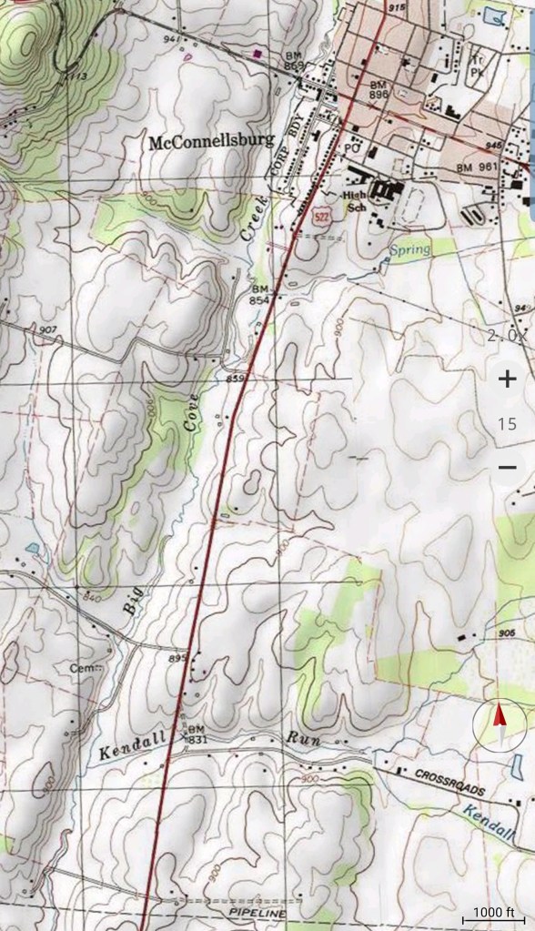
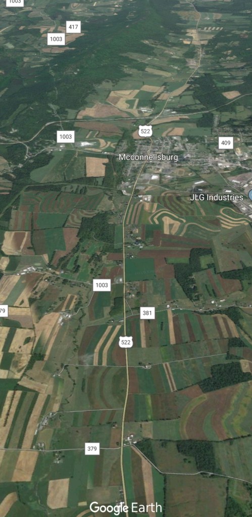
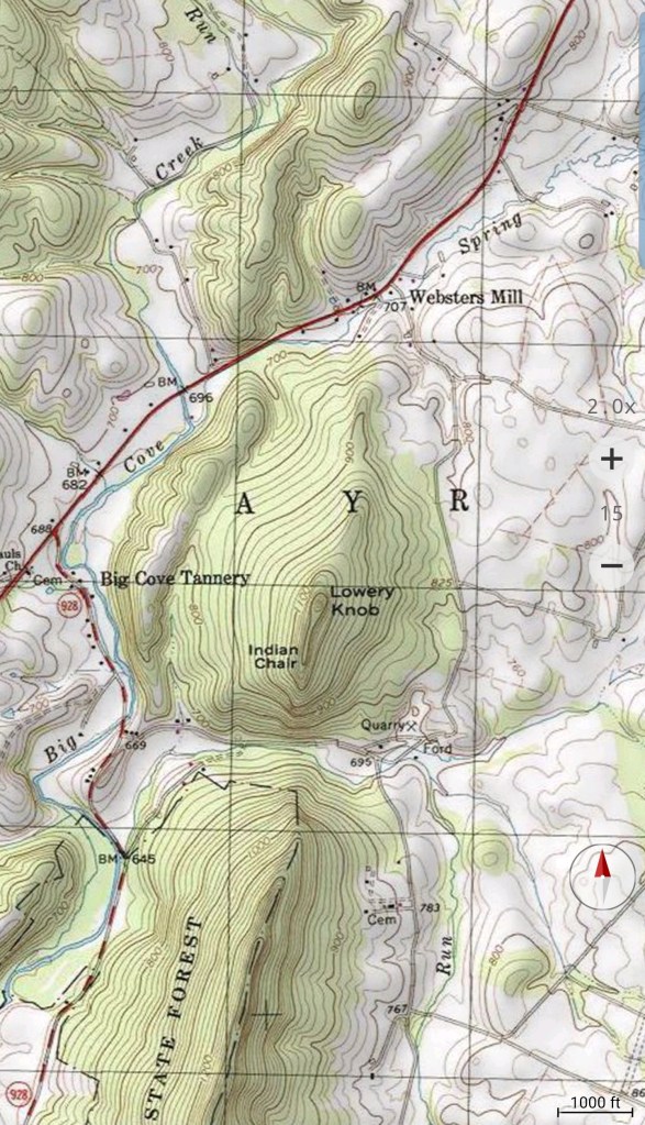
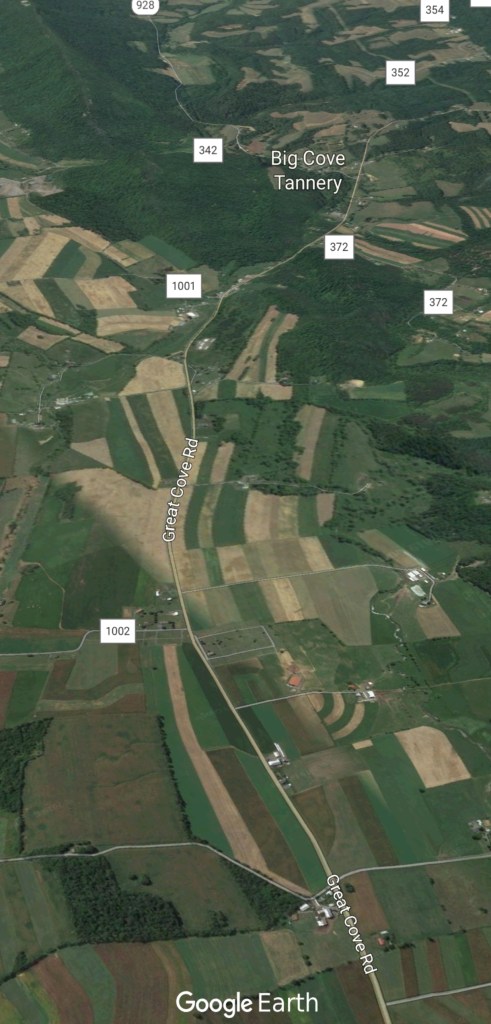
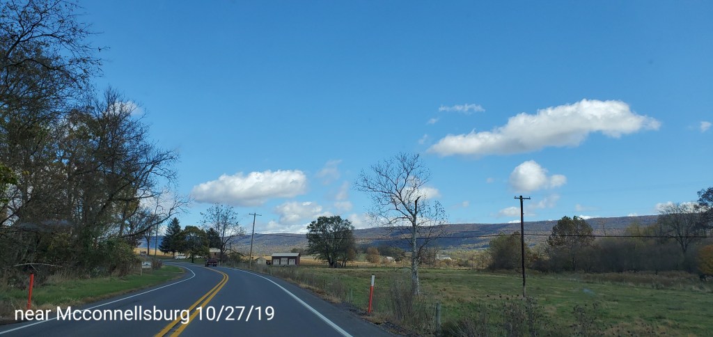
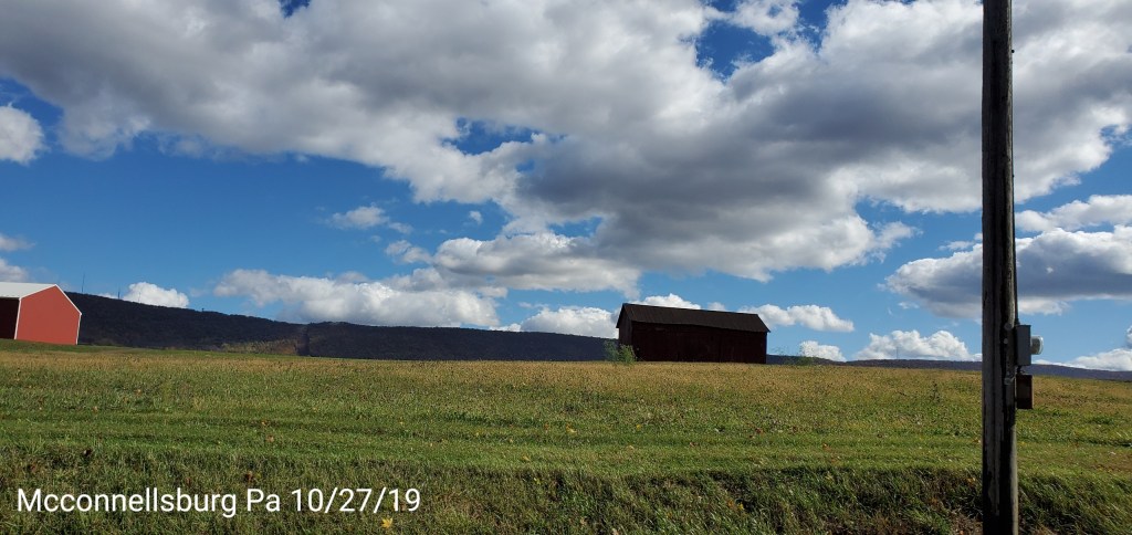
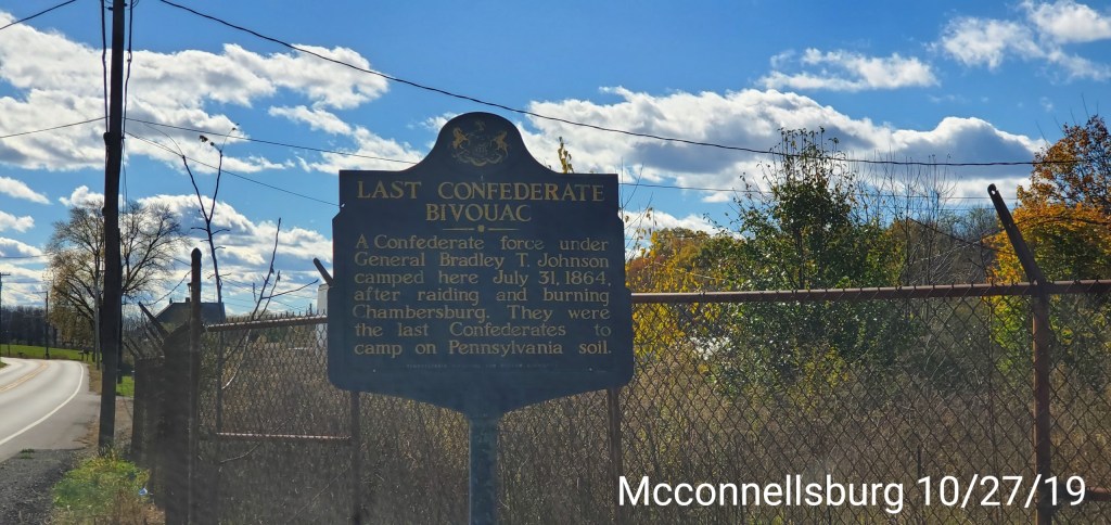
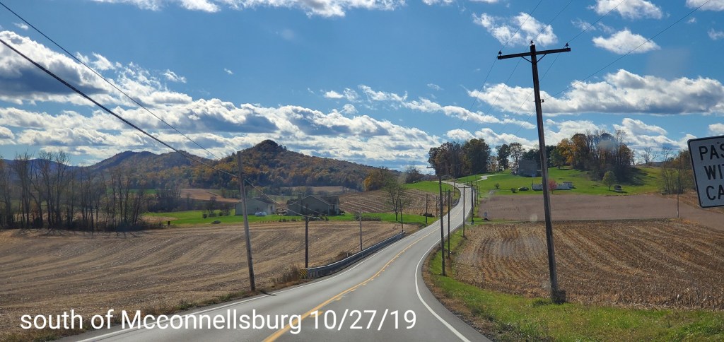
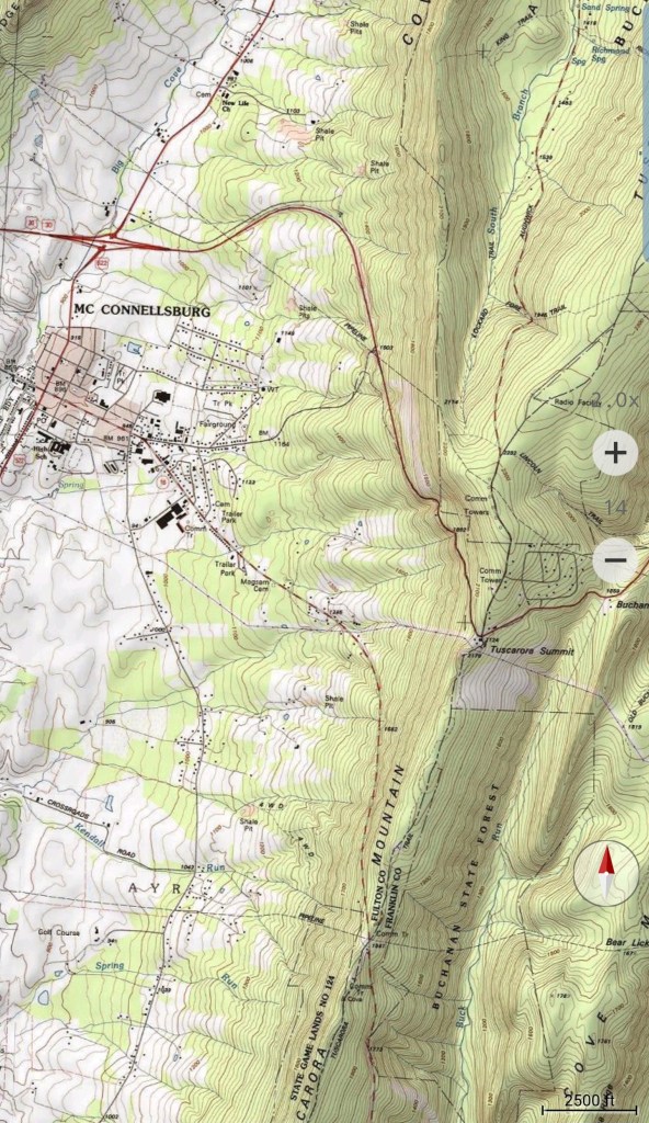
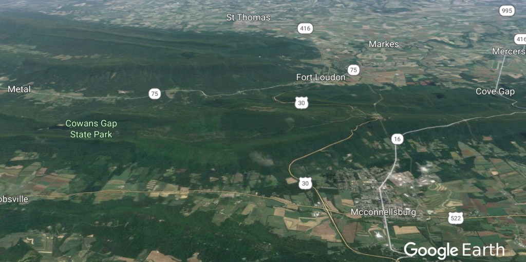
Around Mcconnellsburg
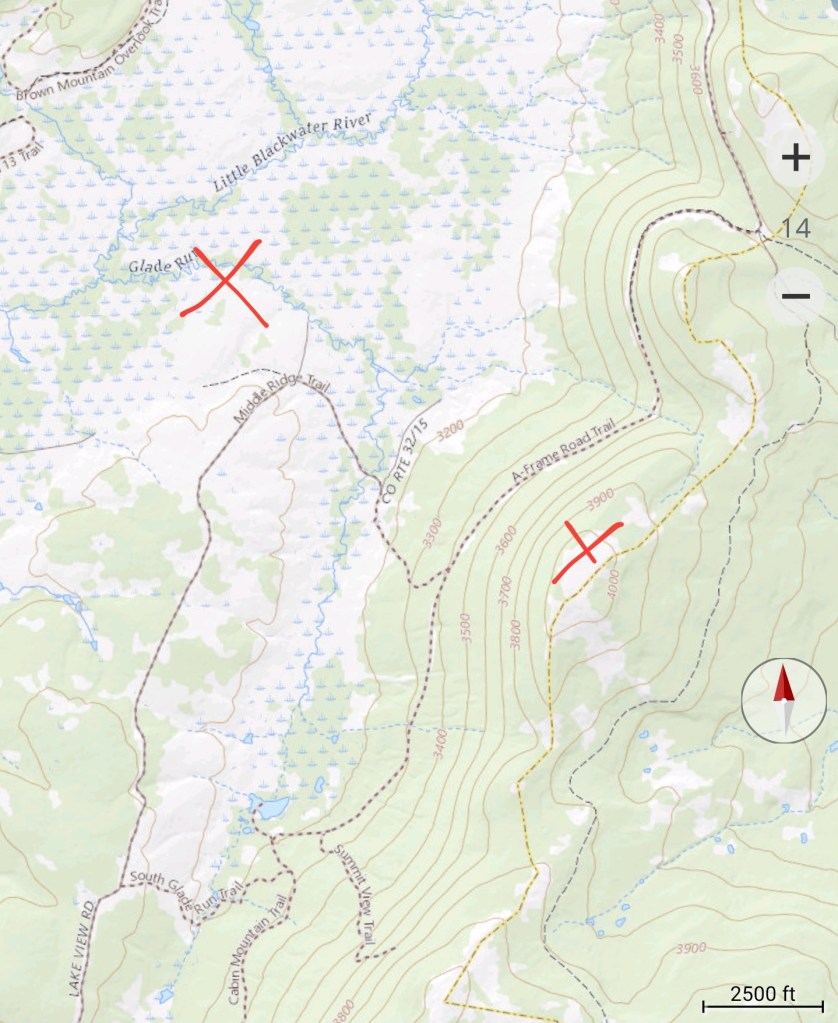
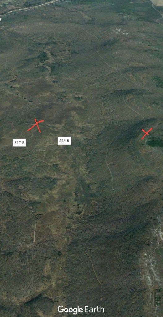
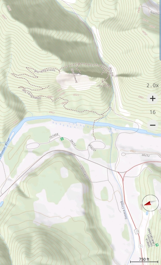
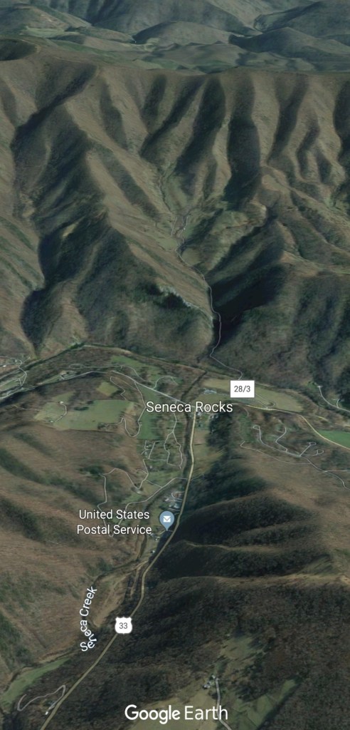
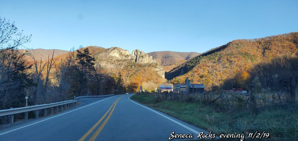
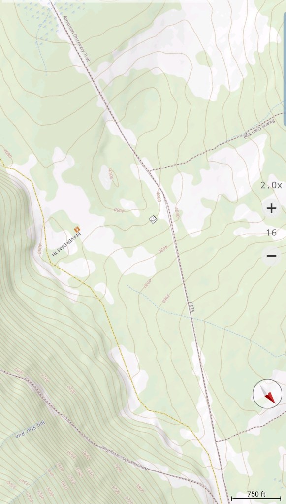
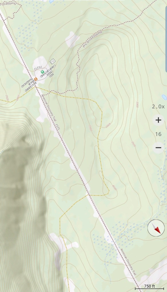
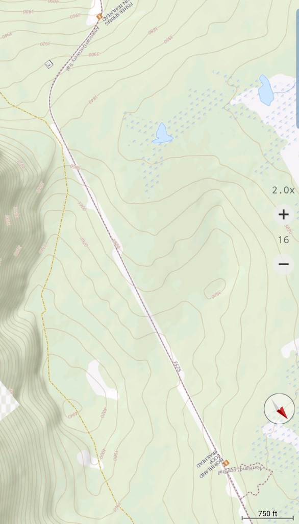
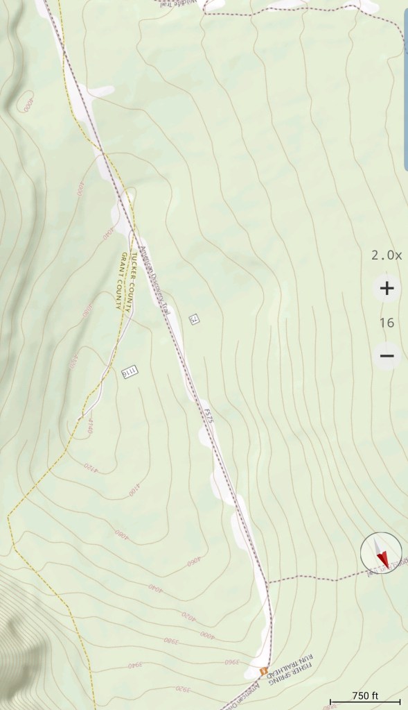
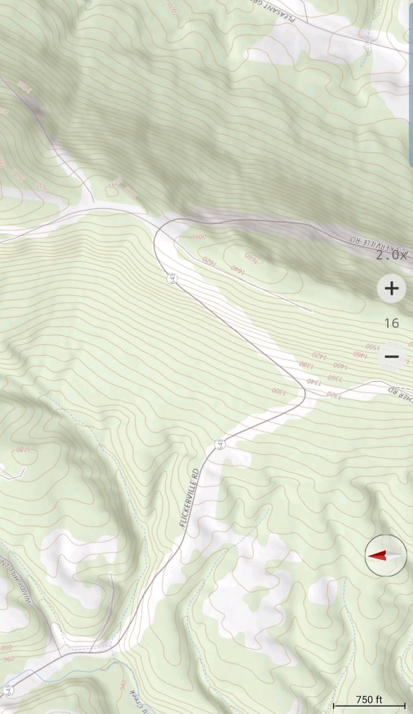
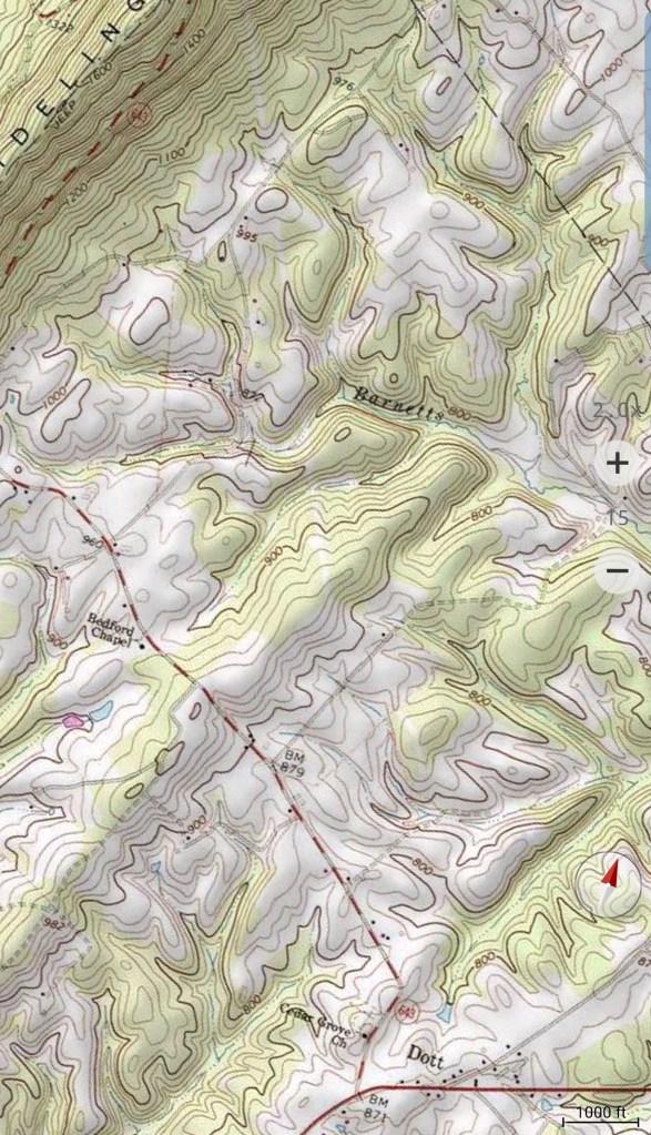
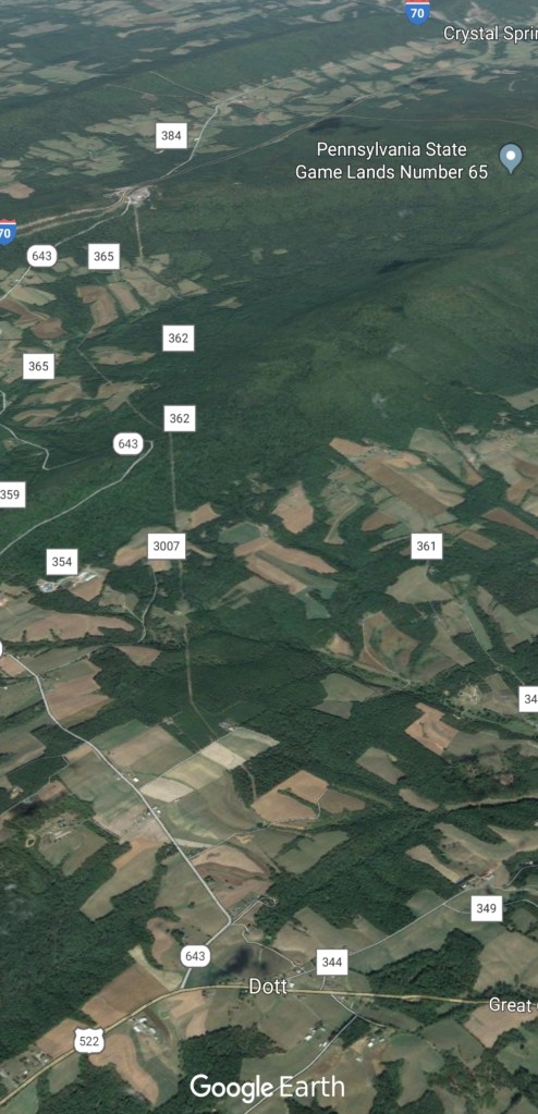
First topo and google earth image 522 north towards Mcconnellsburg, 3rd and 4th image 522 south of Mcconnellsburg
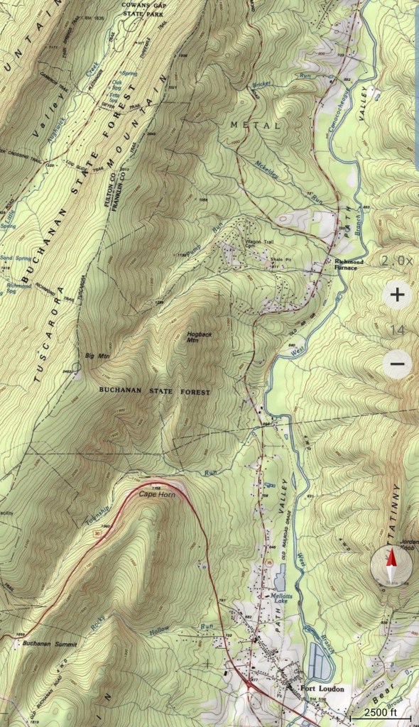
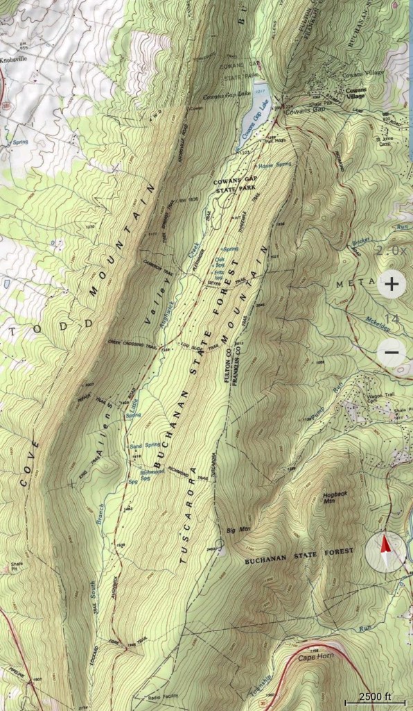
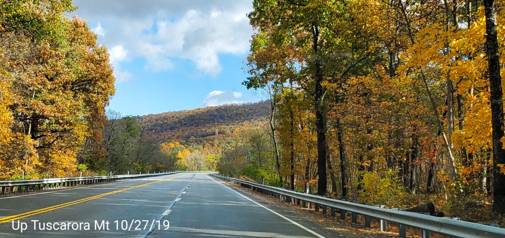
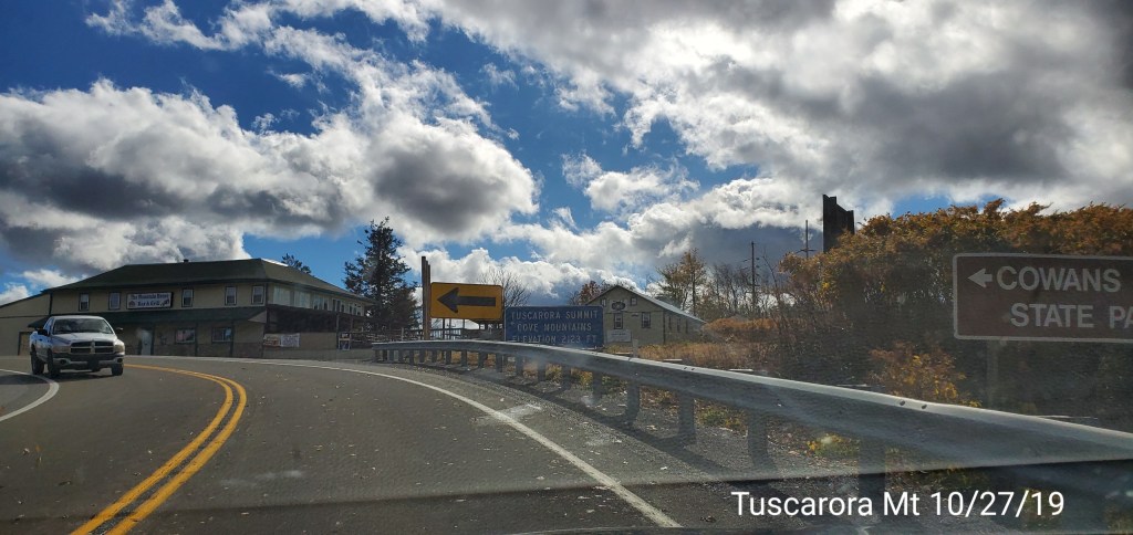
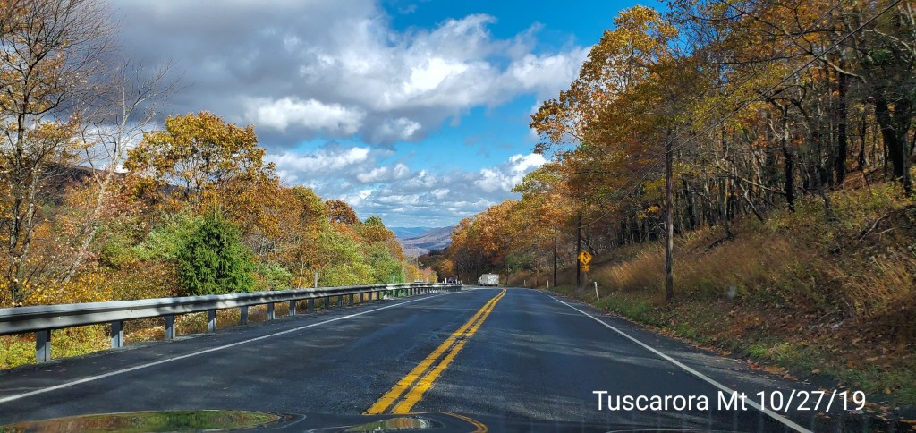
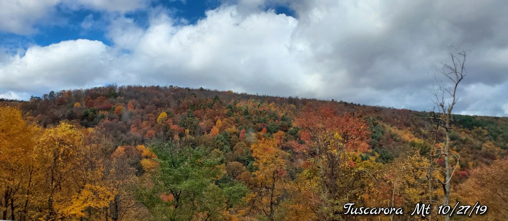
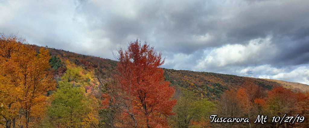
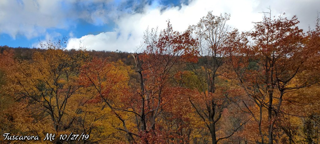
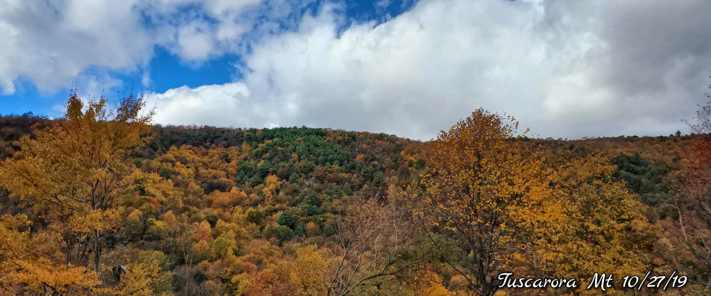
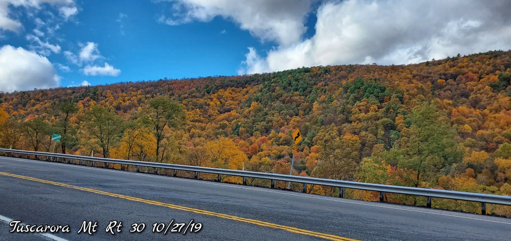
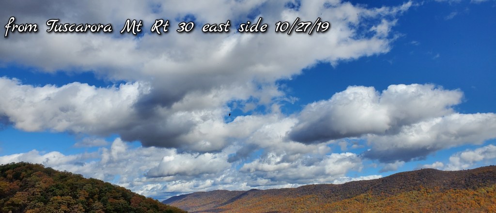
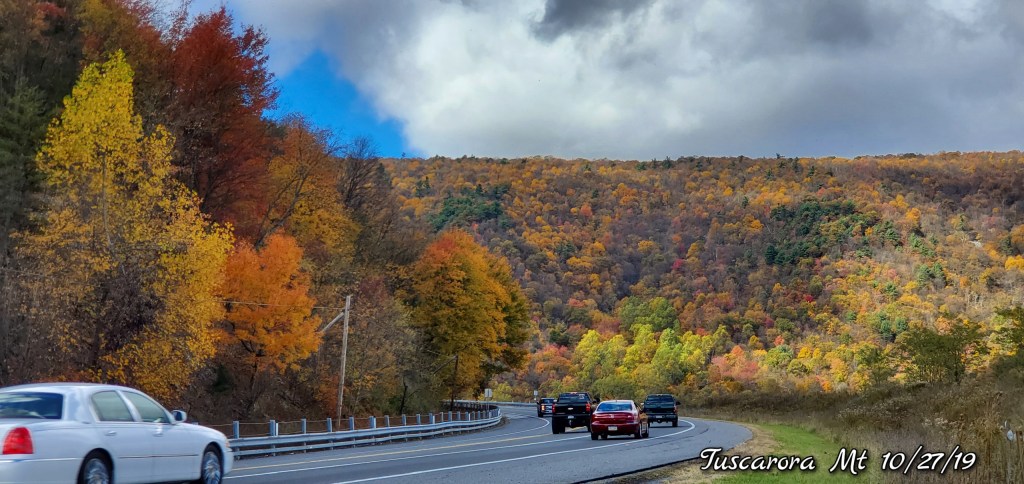
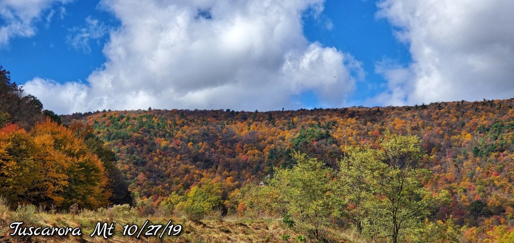
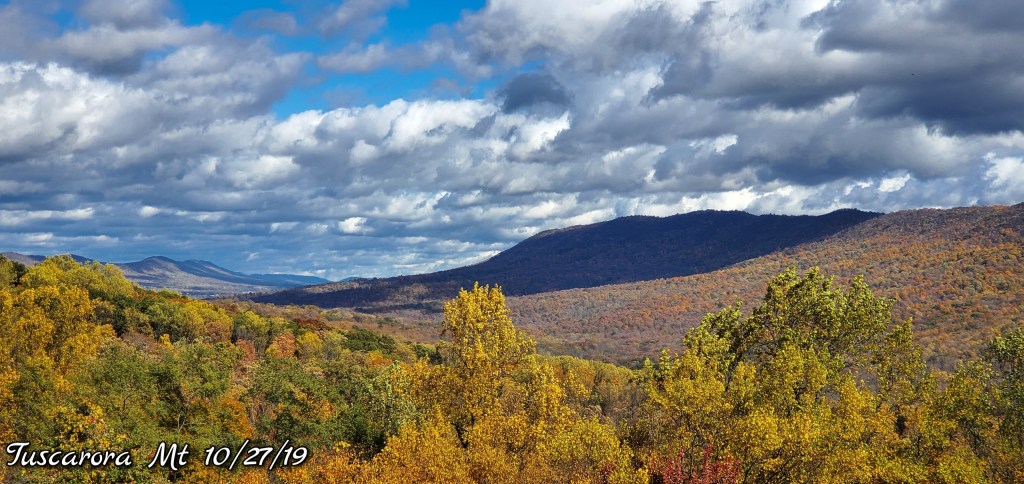
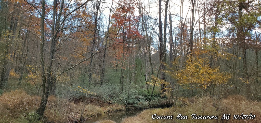
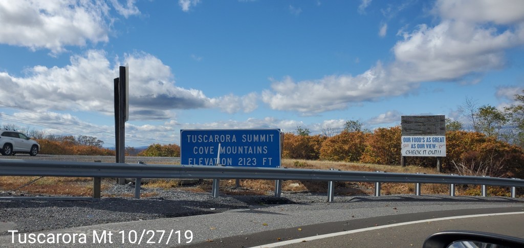
Up and on and over Tuscarora Mt and around Cowans Gap State Park
A scenic mountain with a big feel. Rising 1600′ above Mcconnellsburg (1300′ gain on Rt 30) on the west side and nearly 1800′ above the Valley east. On top, it “feels” high given the elevation of the surrounding farmland. A rugged steep area. Lots of great views. Color was really good as well.
Also noticeable was the higher Valley on top between the 2 ridges where Little Augwick Creek (Cowan Run) flows. Vegetation of white pine and hemlock were noticeable likely indicating a colder area vs the surrounding locations.